Get Lost Mountaineering
You are here: England » Peak District » Kinder, Harry Hut, Burnt Hill, Mill Hill & Wormstones from Glossop to Hayfield Road
Black Moor, Mill Hill, Harry Hut & Wormstones from Moorfield Road near Chunal
Black Moor, Mill Hill, Harry Hut & Wormstones
from Moorfield Road near Chunal
Start/Finish
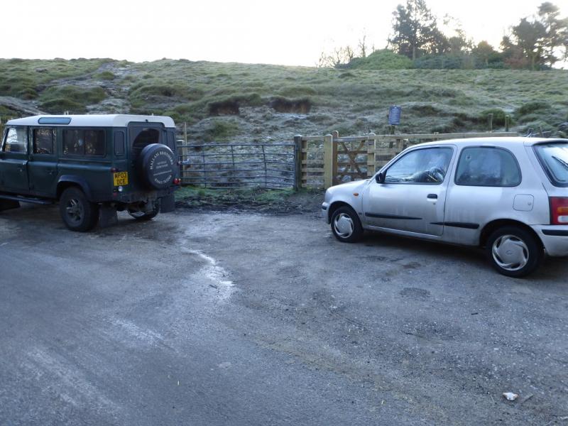
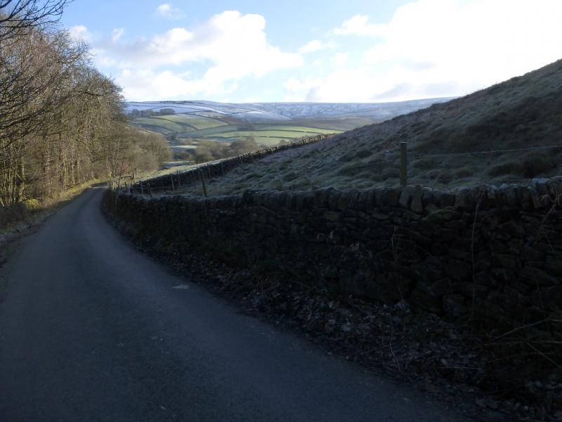
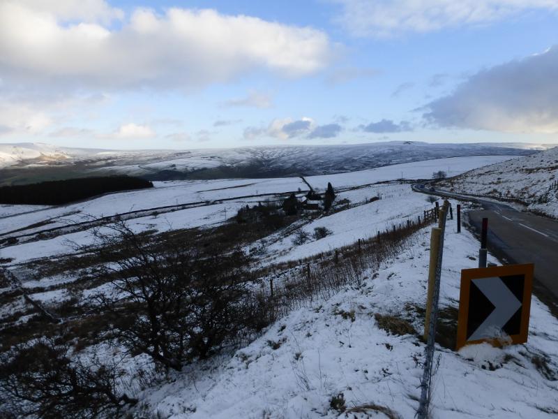
Rough parking on a corner of the Moorfield Road about 200 m from the main Glossop to Hayfield road just below Chunal. The turning is sign posted. If there is no space there or nearby then there is a rough lay by slightly further uphill on the main road. The turning is just over a mile from the Glossop crossroads and just under 4 miles from Hayfield. Coming from Buxton, take the A6 to Chapel-en-le-Frith then follow signs to Glossop. Coming from Chesterfield, take A619 to Baslow then A623 through Calver to Chapel-en-le-Frith then follow signs for Glossop. From Sheffield, take A57, Snake Pass, to Glossop then take A624 towards Hayfield.
Distance/Time
8 km About 3 - 4 hours
Peaks
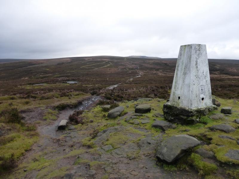
Mill Hill, 544 m, SK 061 504.
Harry Hut, 440 m, SK 044 907.
The rest of the walk is on edges, ridges and open moorland.
OS Outdoor Leisure 1: Dark Peak. OS 110 (1:50 000).
Introduction
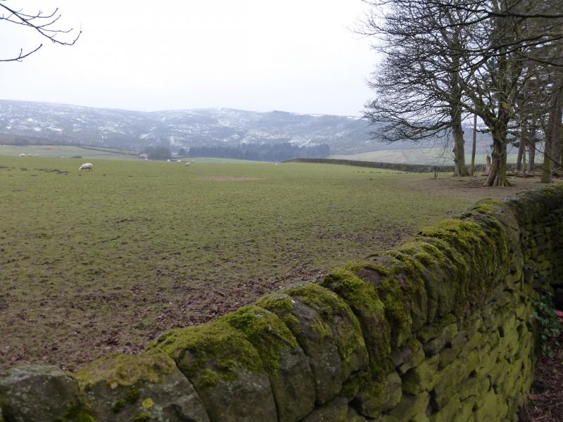
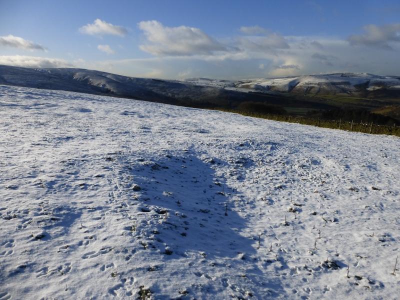
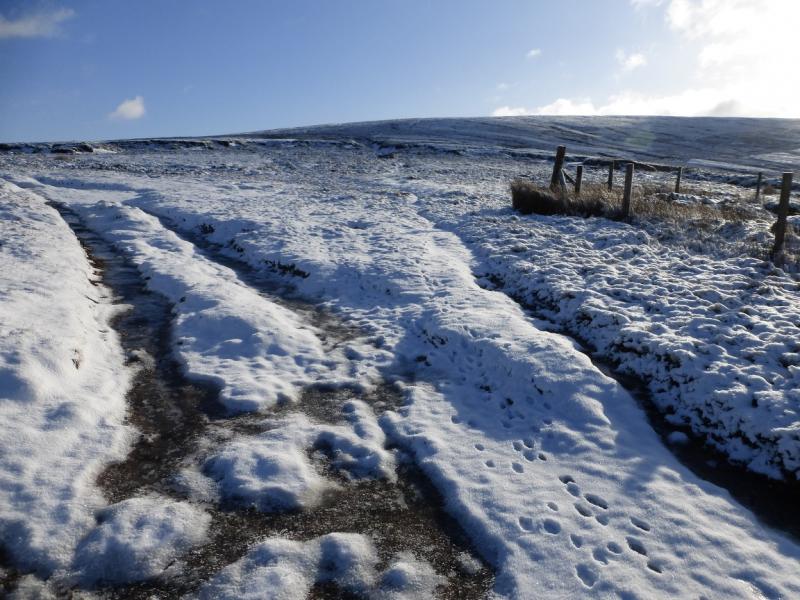
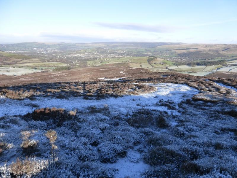
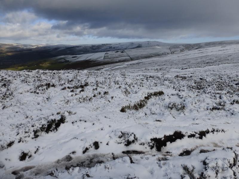
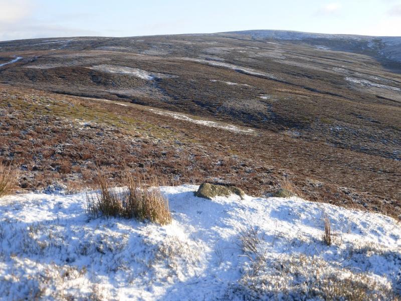
This is a short but pleasant walk which takes in two tops and the interesting Wormstones ridge. Paths are generally good but can be boggy and it does not take much snow to hide them. There are good views to Kinder and Higher Shelf Stones. This is the exact reverse of another walk but this version is easier to navigate as one is ascending on to the featureless Black Moor.
Route
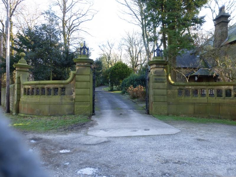
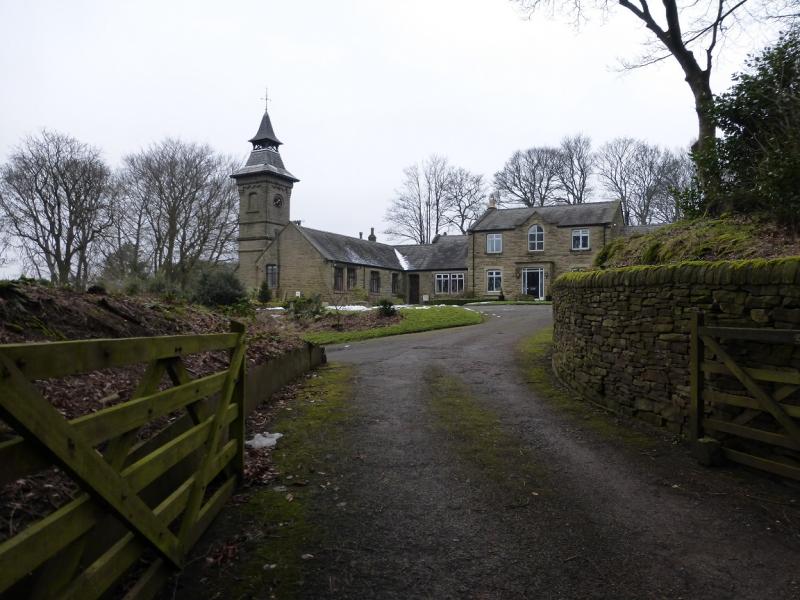
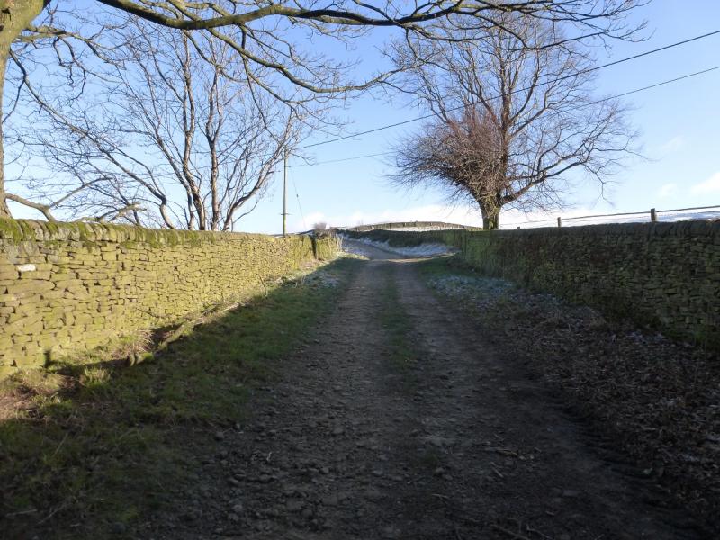
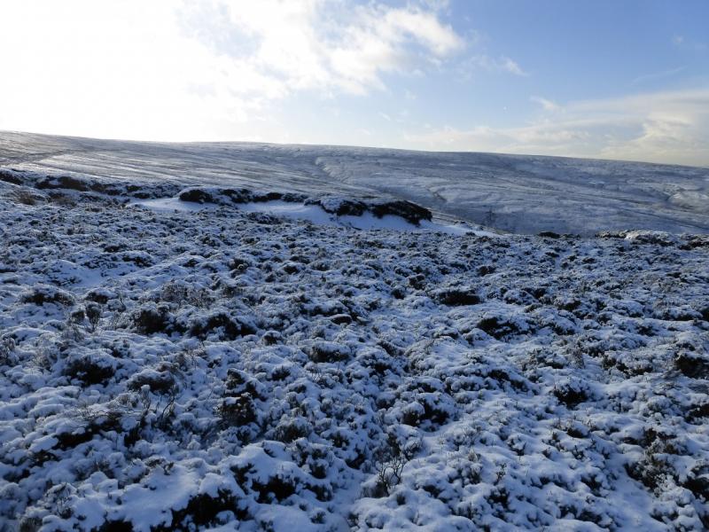
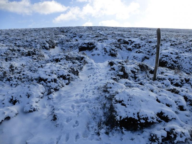
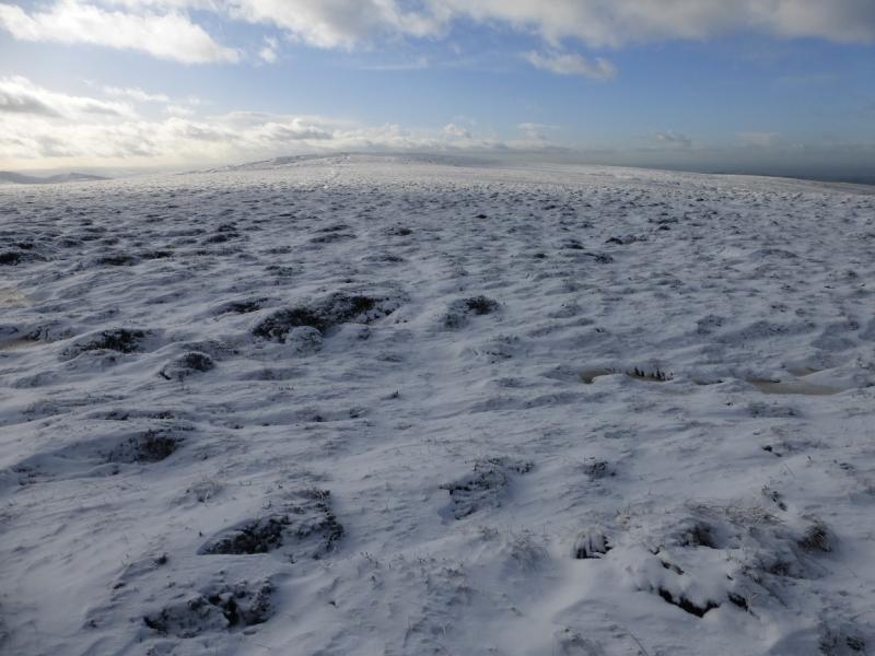
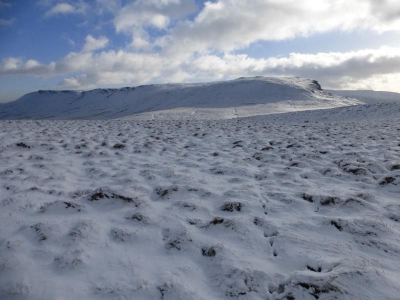
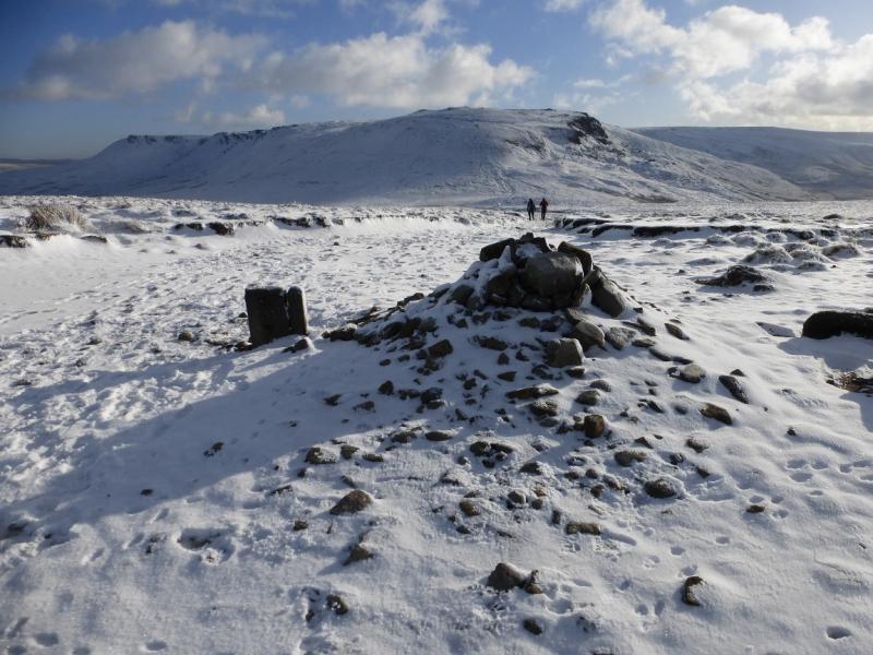
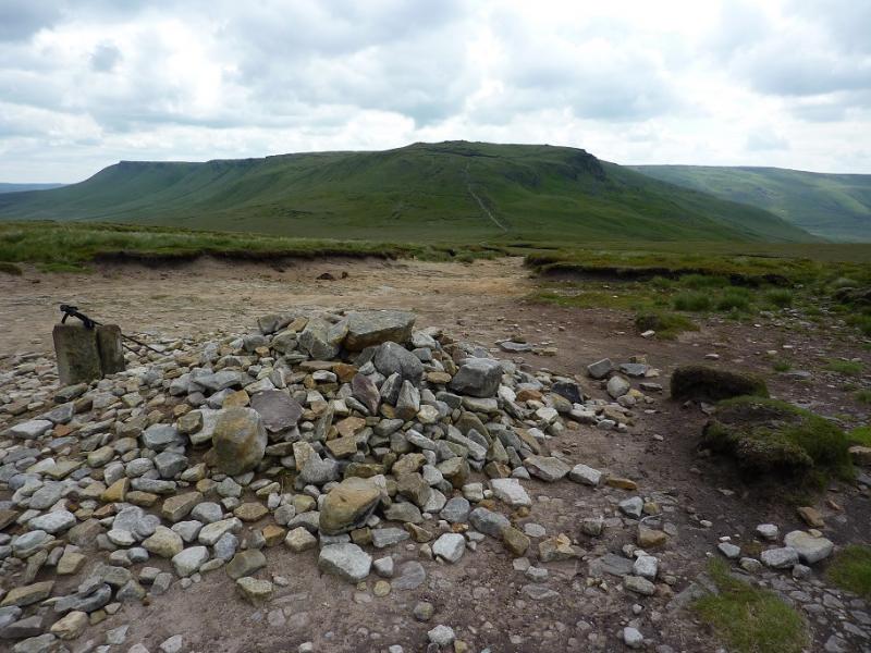
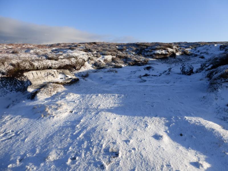
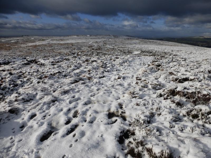
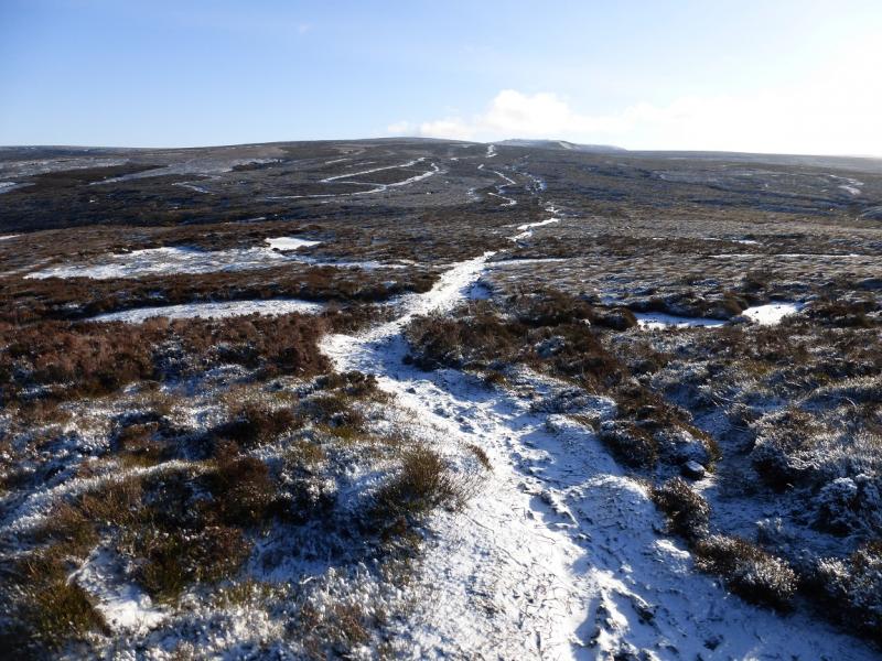
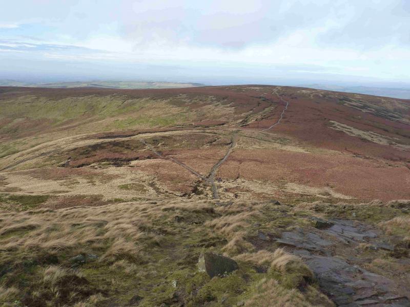
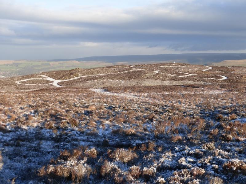
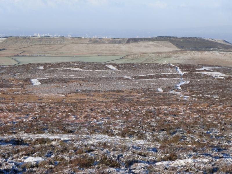
(1) From the parking spot at the foot of the Wormstones Ridge, walk further along the road for about 1 km to Moorfield which cannot be missed as there are huge gates with the name Moorfield on one of the stone posts. Turn right and go up the tarmac road with Moorfield to your left. Higher up, this becomes a track then a rough track and finishes near a fence corner. A faint path goes up the right hand side of a gully, past a shelter cairn/grouse butt then past two fence posts where the gully runs out. Continue in the same direction and another smaller gully appears on the right. The ground can be quite boggy from the end of the track. When the gentle angle eases, continue ahead, roughly SW, to intersect with the Pennine Way coming from the top of the Snake Pass. This is a slabbed path and is usually obvious. However, it does not take much snow to hide it. If this is the case, reach the crest and follow it SSE until the Pennine Way is found. Note that the ground either side of the path can be very boggy but this is likely to be frozen if there is lying snow. Continue SSE and ascend gentle slopes to reach a large cairn, with a low stone sign post, which is the summit of Mill Hill, 544 m. There is a crossroads of paths here. Left is the Pennine Way, ahead is a faint path heading towards Leygatehead Moor and right is the descent to Burnt Hill and The Grouse Inn from which the path to Harry Hut branches off lower down.
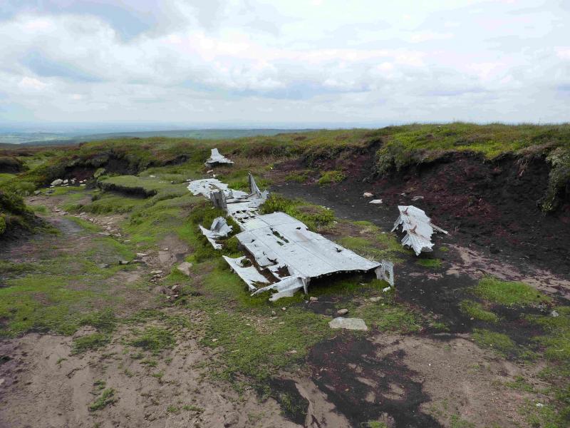
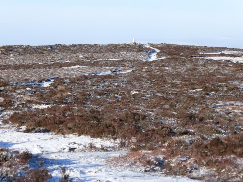
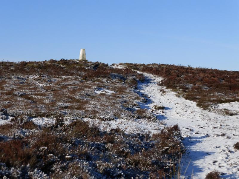
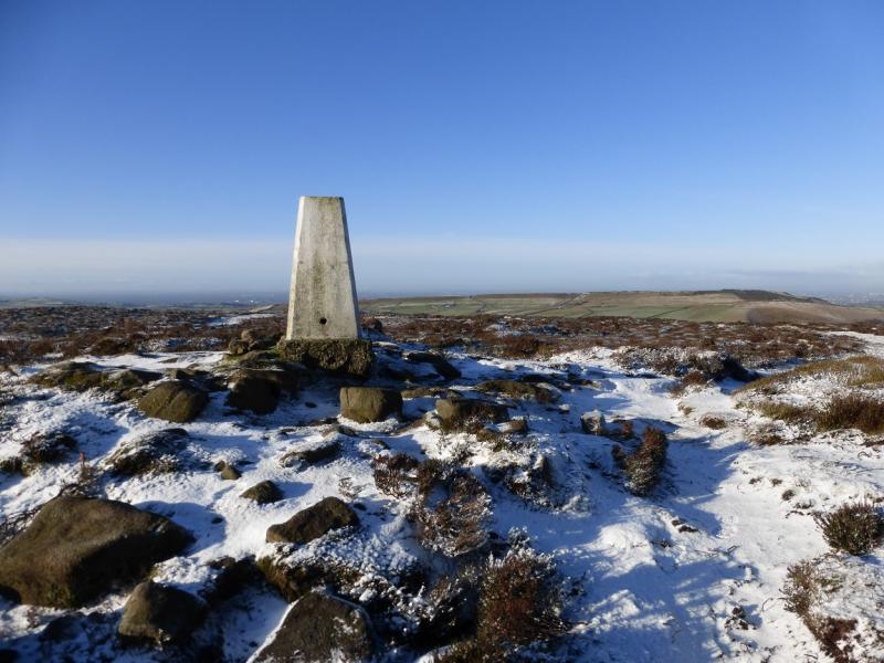
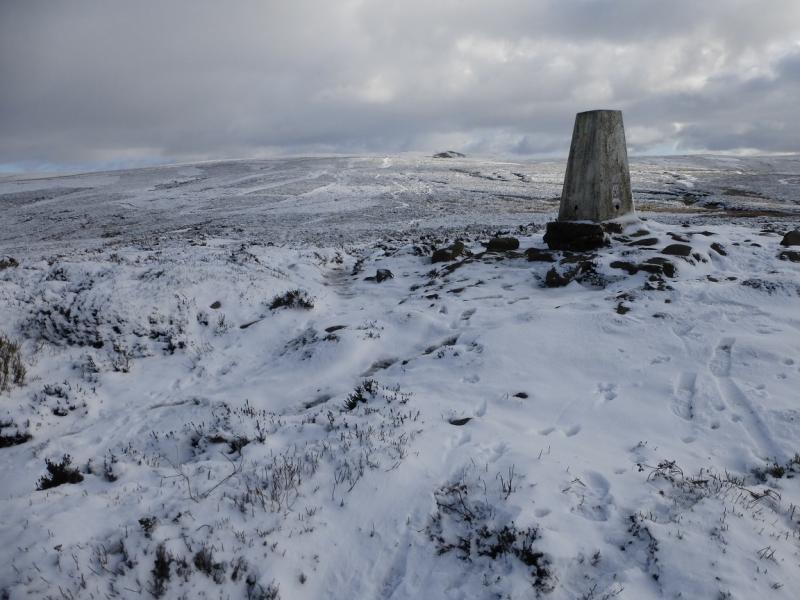
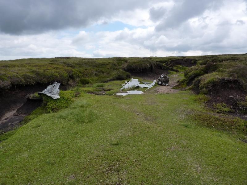
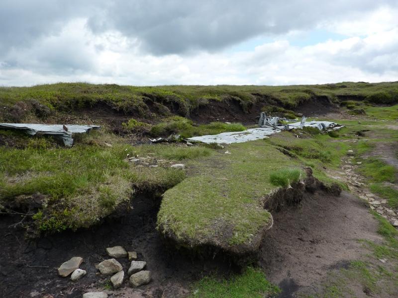
(2) Go right, roughly NW (the opposite direction to Kinder), down the slabbed path and go past a shallow gully, on the right containing some aircraft wreckage. Further down, and very obvious in clear weather, a wide path forks right from the slabbed path. Follow this down into a shallow hollow then up to the white trig point which is the summit of Harry Hut, 440 m.
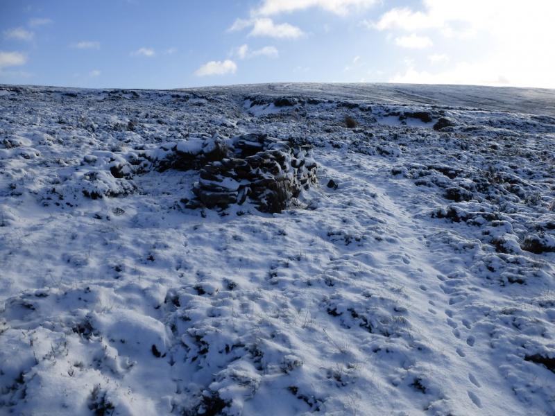
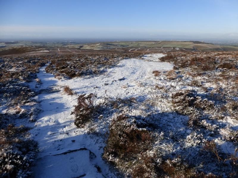
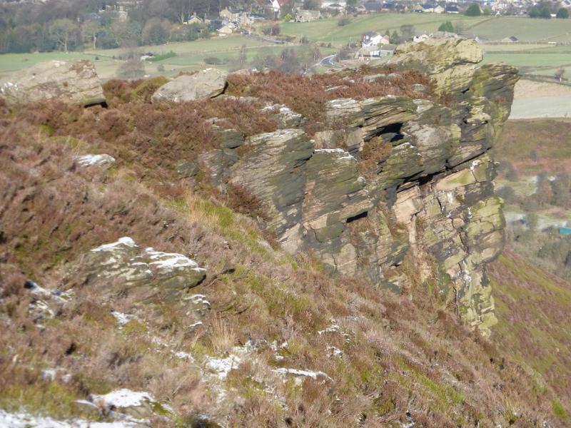
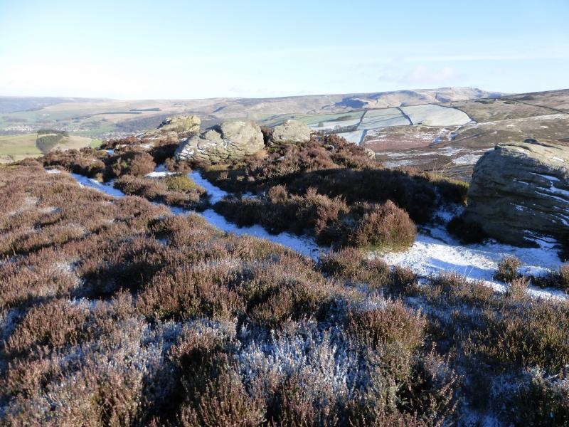
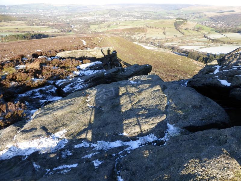
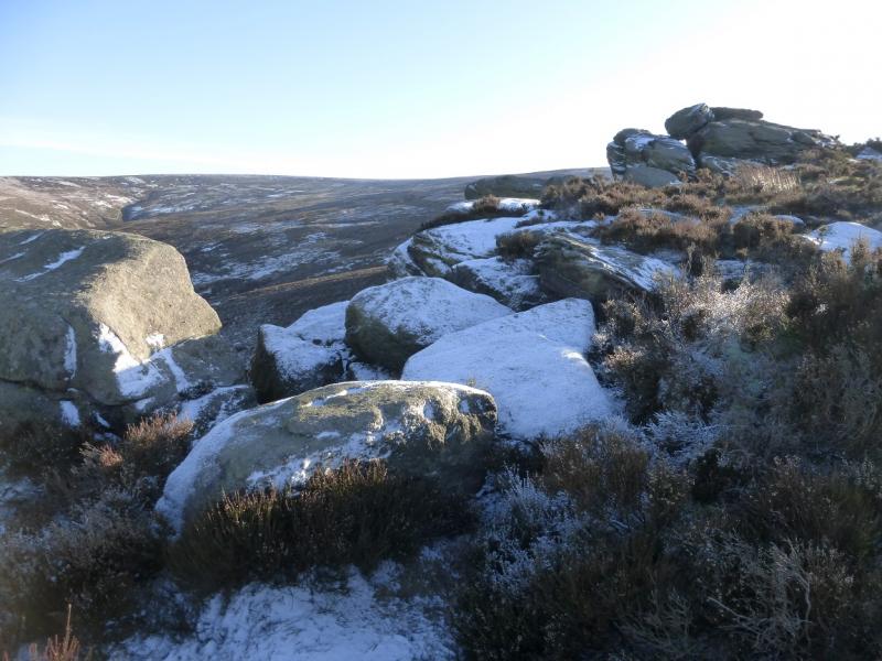
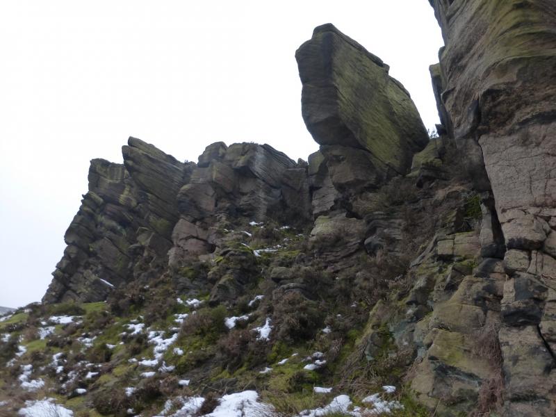
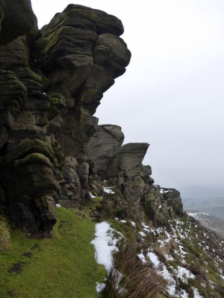
(3) From the trig point go slightly W of N staying on the crest of a heathery ridge. There is a path which offers variations lower down. After about 1 km, Wormstones is reached which is on the right of the crest and is the only prominent outcrop/cliff on this ridge. Continue down, on the path, which reaches a minor road at the parking spot. If one holds to the right side of the ridge below Wormstones then a good path brings one out on the minor road about 300 m towards Moorfield from the start. In this case, go left when the road is reached.
Notes
(a) This walk took place on 15th January, 2016.
Photos - Hover over photo for caption. Click on to enlarge. Click on again to reduce.