Get Lost Mountaineering
You are here: Scotland » 03 North-west Argyll, Appin and Glencoe » Ballachulish & Connel to Loch Etive
Creach Bheinn & Beinn Sgulaird
Creach Bheinn and Beinn Sgulaird from Druimavuic, Loch Creran
Start/Finish
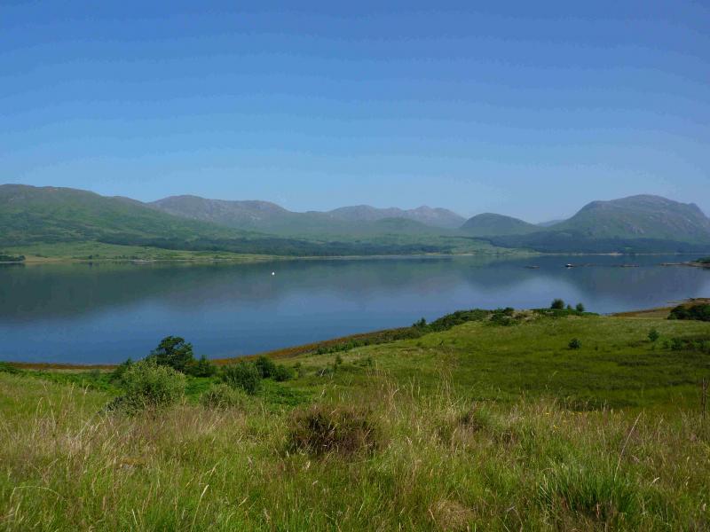
Small layby on the old road on the south side of Loch Creran which is, coming from the main road, just past Druimavuic at the head of Loch Creran.
Distance/Time
17 km Approx 9 hours.
Peaks
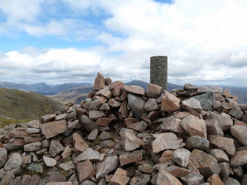
Creach Bheinn, 810 m, NN 023 422.
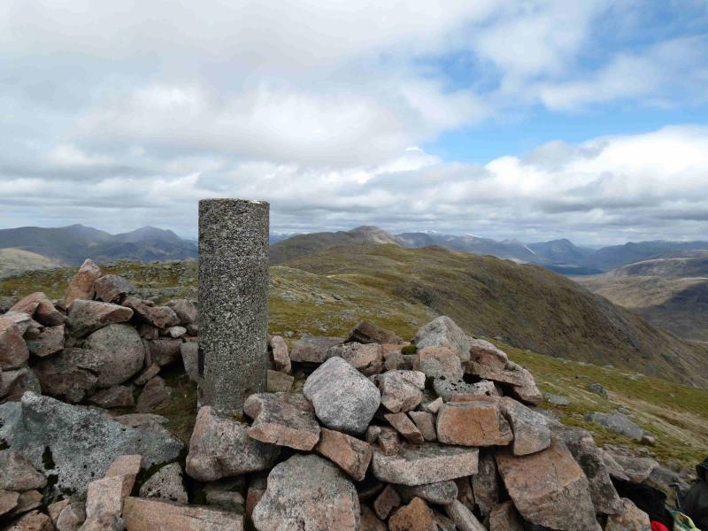
Beinn Sgulaird, 937 m, NN 053460. OS sheet 50.
Introduction
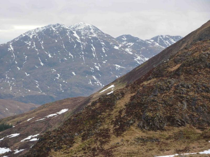
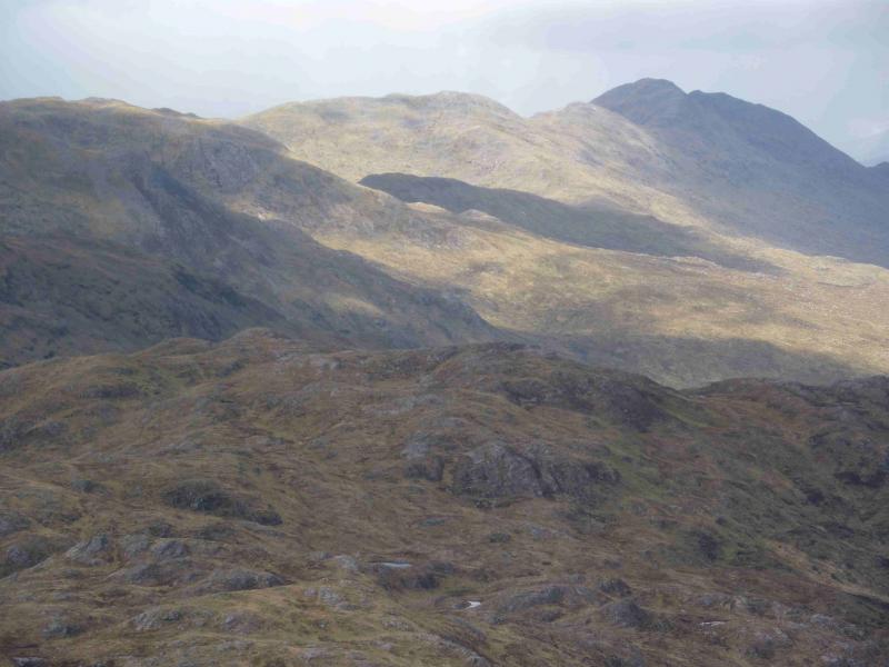
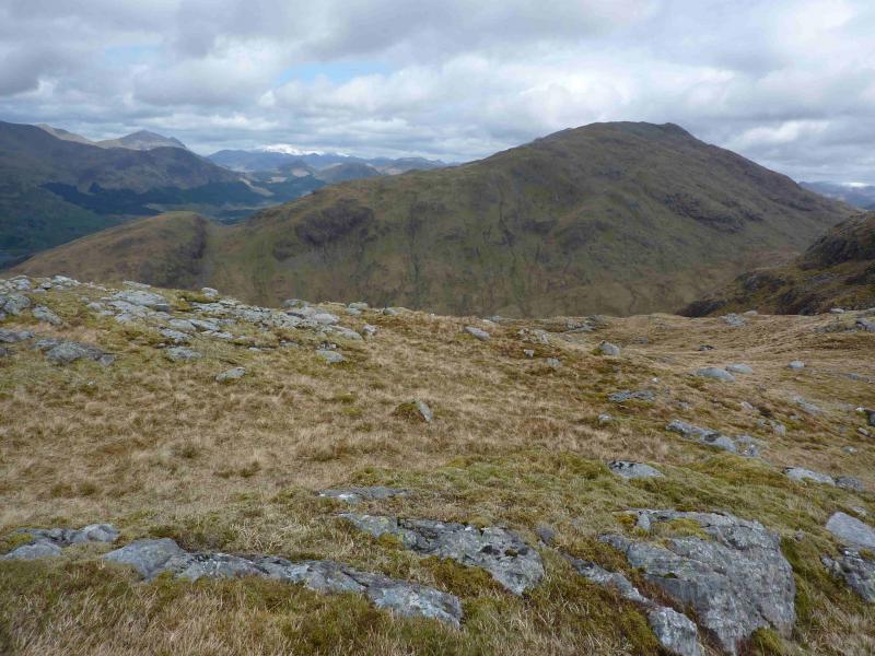
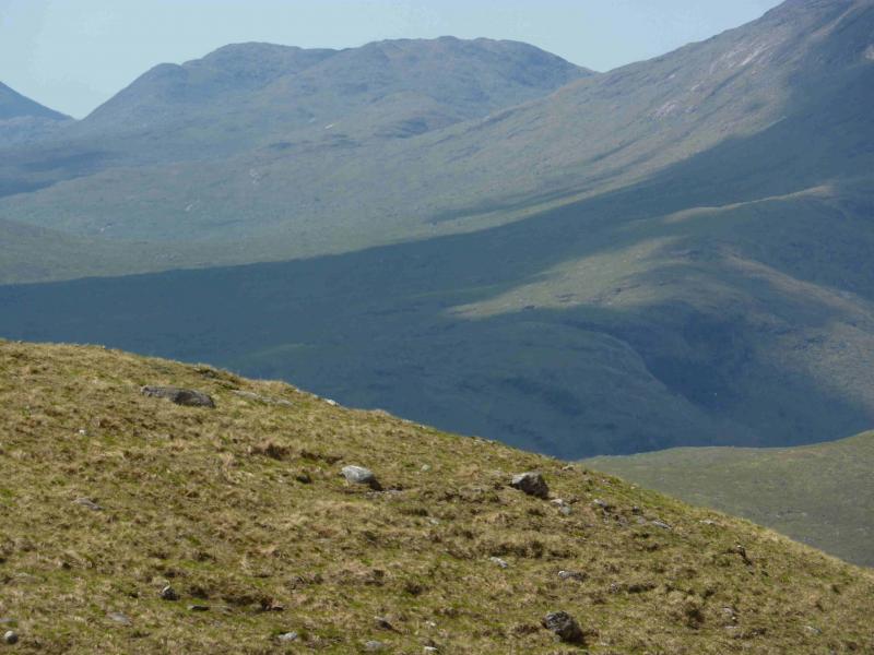
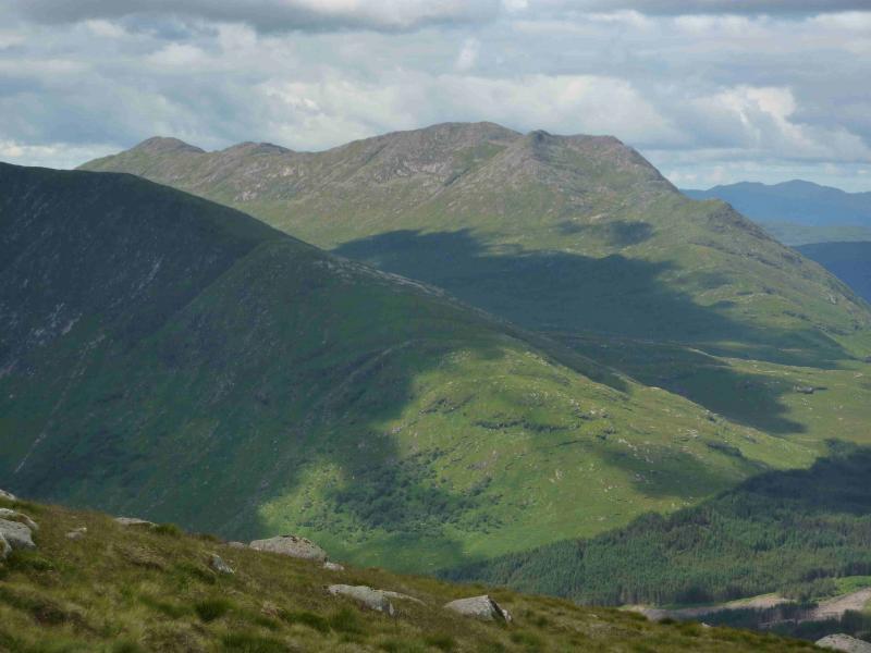
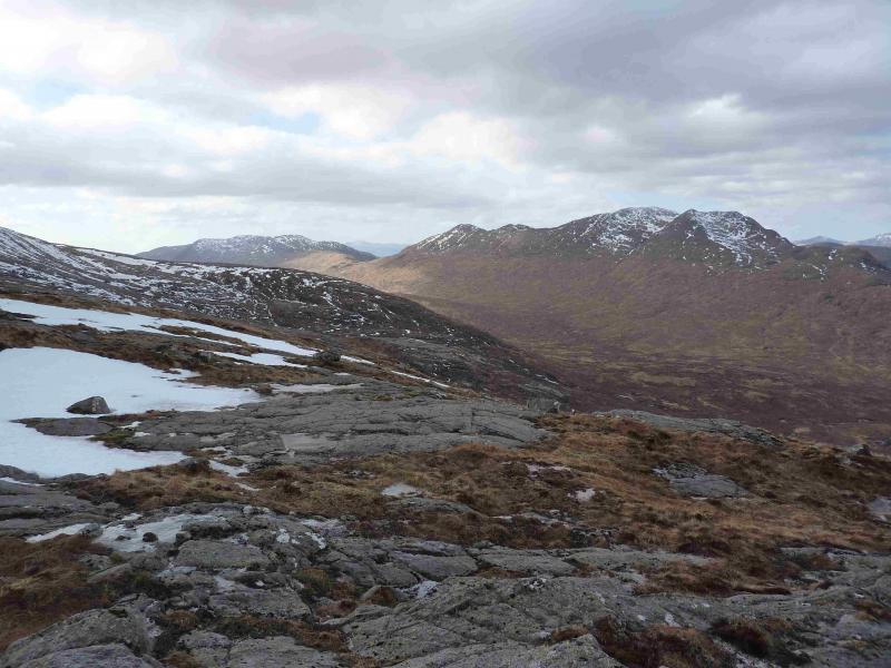
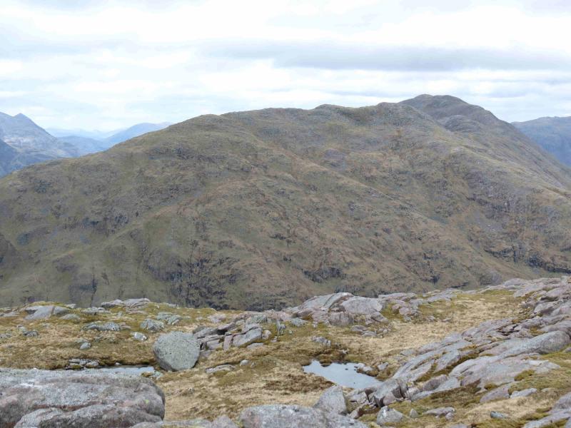
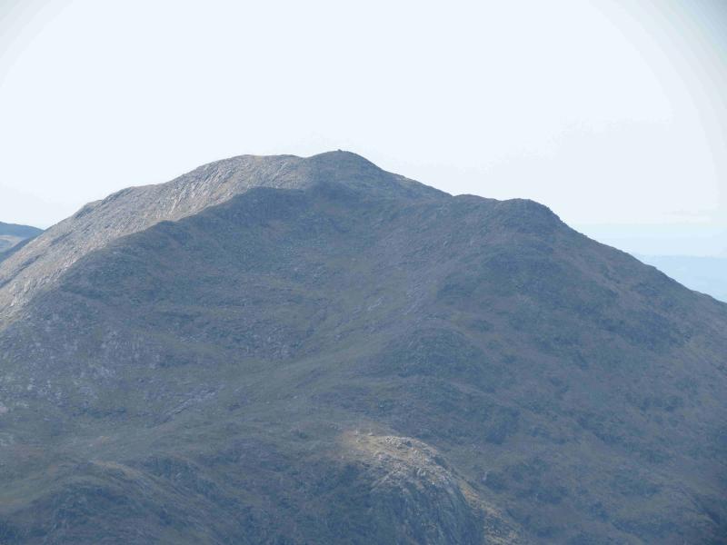
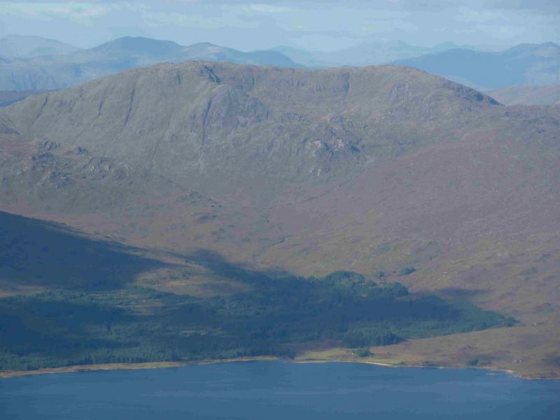
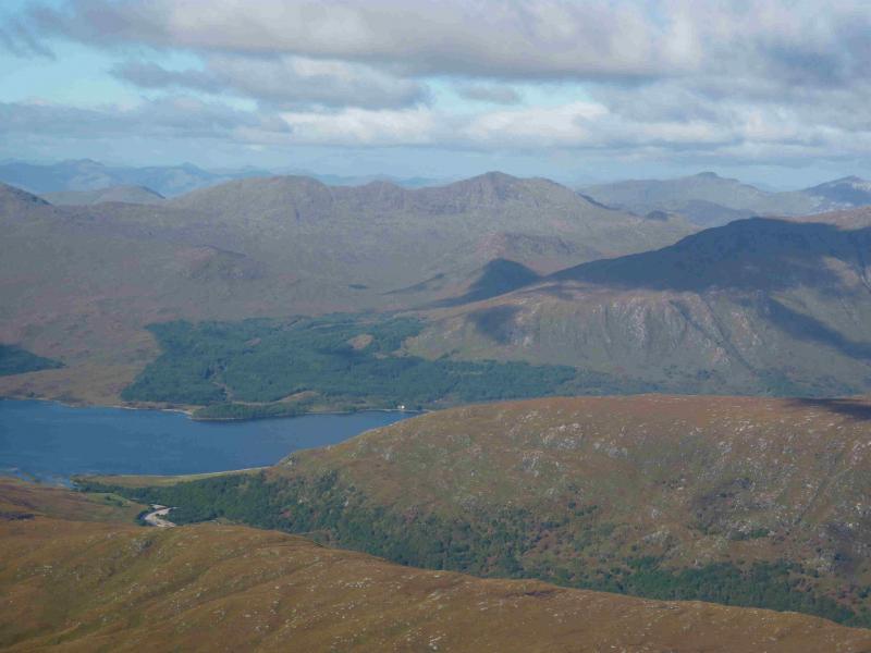
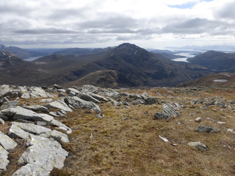
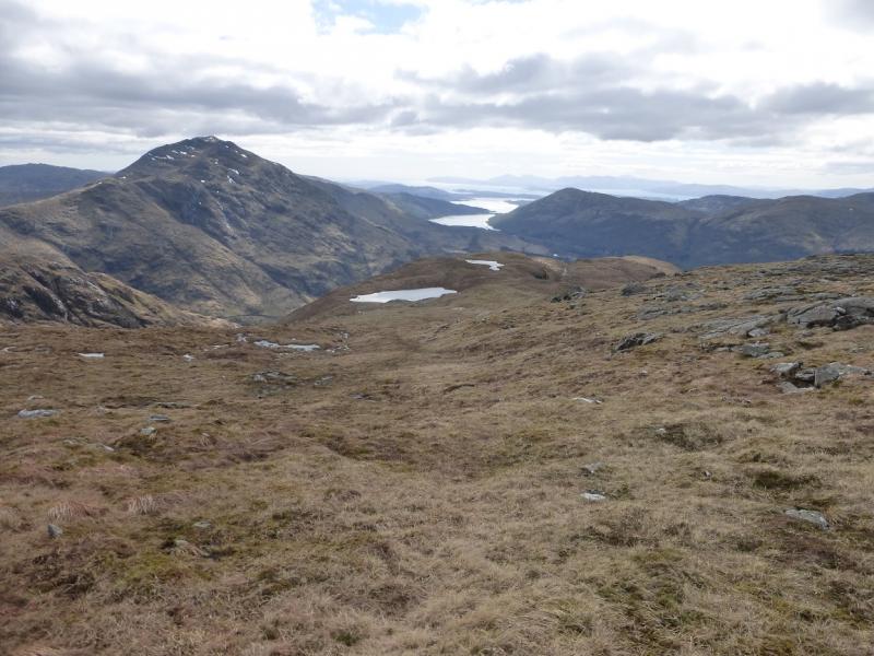
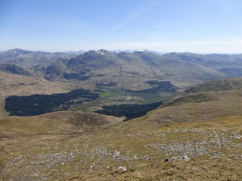
The Corbett of Creach Bheinn takes some reaching but there can be few better view points on a clear day. Views include the mountains across Loch Linnhe, the western seaboard and Glen Etive. The upper part of the hill is quite complex and navigation can be quite demanding in mist especially the descent to the bealach between Creach Bheinn and Beinn Sgulaird. The crest of Beinn Sgulaird has considerable “up and down” on it. There are three major descents and reascents. The outward route tackles two of these and the descent route all three. For a Munro, the path on Beinn Sgulaird is surprisingly indistinct in places and care is needed in mist. The views from Beinn Sgulaird are as fine as those from Creach Bheinn.
Route
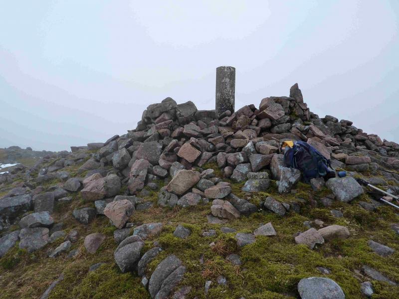
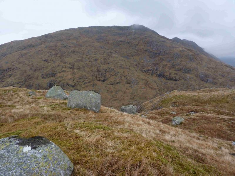
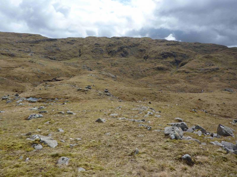
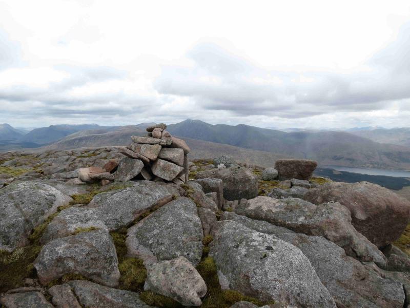
(1) From the layby, walk back along the road for about 20 m then turn left up a track (a second track goes straight on at this point and is the “road” when the proper road is flooded). The track has a broken mossy wall on its right which soon becomes a more substantial boundary wall for the house at Druimavuic. The track soon exits the forest then continues (not shown on 1989 OS sheet 50) above the N bank of the Allt Buidhe with Beinn Sgulaird first ahead then on the left. Continue on the track, past a right turn to an old gate, then up more steeply and past the small cairn*, on the left, marking the start of the path up Beinn Sgulaird but do not take this path. The track will soon converge with a low fence on the right. Cross the fence here and head towards the Allt Buidhe, aiming for just upstream of a small waterfall where it is normally easy to cross. Unless the cloud is very low, a ridge, shown on the map as ascending roughly S towards Meall nan Caorach should have been spotted across the stream. Once across this stream, ascend steep grass, with some heather, to gain the ridge and ascend it to Meall nan Caorach. You need to be climbing well before the obvious burn coming down to the Allt Buidhe which starts between Meall Garbh and Meall nan Caorach.A small crag, en route, is easily avoided. From Meall nan Caorach, a grassy ridge (becoming rockier with height) heads roughly E to Meall Garbh before turning SE to reach the summit of Creach Bheinn's NE top, 803 m, where there is a small cairn on a rock visible from some distance. Continue SW over gently undulating but complex terrain. There is a faint path which is not easy to locate at first but is quite distinct in places. After about 1 km, the large shelter cairn and trig point of Creach Bheinn, 810 m, is reached.
An alternative route avoids visiting the NE top twice. Ascend to Meall nan Caorach as above. Directly beyond here, S, is a shallow grassy “glen” with a narrow burn flowing down to the W. Traverse around and cross it without losing height. On the other side is a narrow, ascending, rocky gorge which feeds the burn. Walk up the side of this on easy grassy slopes. At the top, continue in roughly the same direction and you should emerge on the crest between the summit and the NE top, probably just to the N of the summit. This alternative will be more difficult to navigate in thick weather than the route via the NE top.
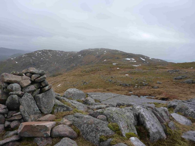
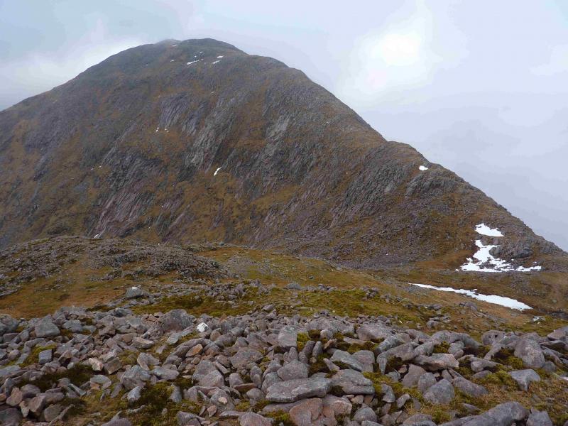
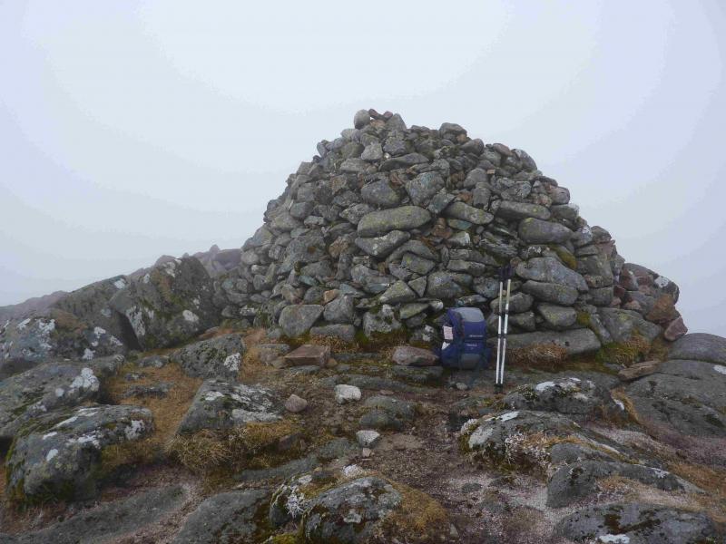
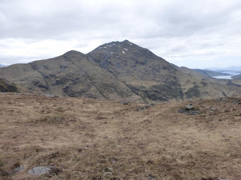
(2) Return to the NE top then head roughly NE (a compass bearing will be needed in thick weather) down grassy slopes which become increasingly steeper to reach a small bealach before Creag na Cathaig. Ascend the other side to reach the top of Creag na Cathaig where there is a cairn made of a few large stones before the summit is reached. From here, a reasonably distinct path continues down to the bealach before Beinn Sgulaird. The initial track runs through this bealach and there is a cairn of large stones as well. It is possible to follow this track W back to the start. To continue to Beinn Sgulaird, ascend grassy/stony slopes heading roughly N to reach the crest of Beinn Sgulaird at Pt. 863 where there is a significant cairn. There is a large boulder field just below the ridge which can be mainly outflanked to the left (W). From Pt. 863, follow the path NE down a steep bouldery slope for about 75 m to a bealach then ascend, rocky in places, to Meall Garbh, about 850 m. Descend again down steep rocky slopes for about 60 m to reach a bealach. In mist, this descent can be confusing. Ascend the other side, up a well defined ridge, to eventually reach the very large summit cairn of Beinn Sgulaird, 937 m.
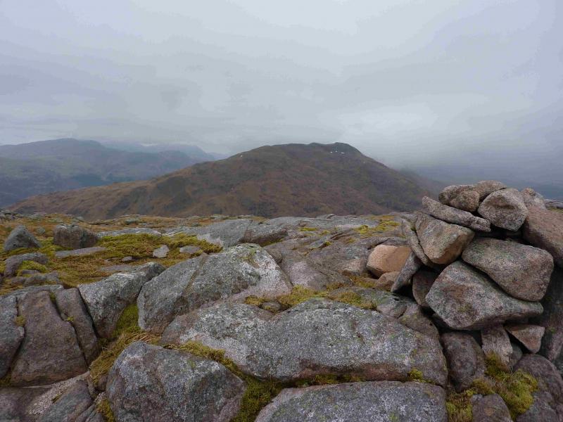
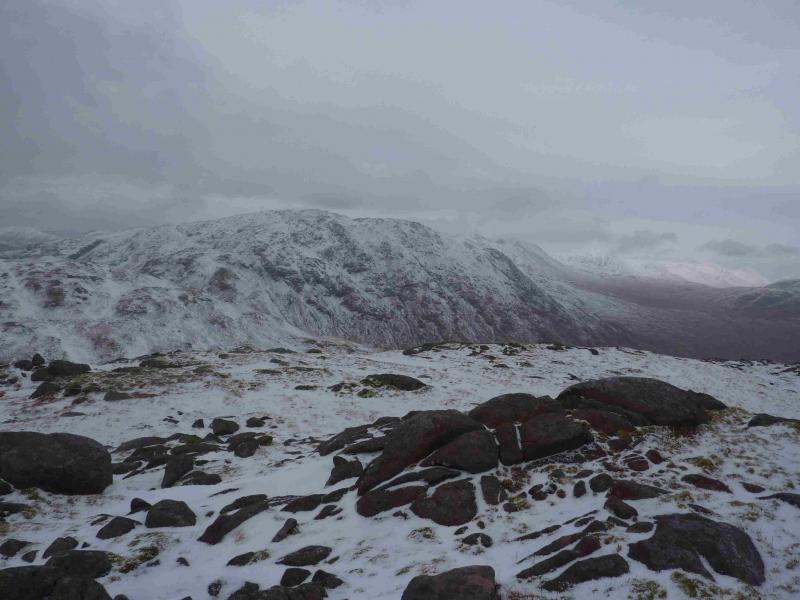
(3) Retrace back to Pt. 863, with all its ups and downs, then follow the path, now heading W, down increasingly grassy slopes. Lower down the path keeps to the left, S, side of the ridge before a short but steep zig zag descent leads down to the bealach E of Pt 488 where a low fence is crossed. From here, a path heads right, N, climbing gently before cutting back to the summit area where a cairn marks the highest point. The path now descends the grassy slopes on the SW ridge to join the outward track at a small cairn*, referred to earlier. The track leads back to the start.
Notes
(a) This walk took place on 6th March, 2011.
Photos - Hover over photo for caption. Click on to enlarge. Click on again to reduce.