Get Lost Mountaineering
You are here: England » Peak District » Baslow to Ladybower including Gardom's, Birchen, Froggat, Curbar, Burbage, Higgar Tor & Stanage
Offerton Moor, Smelting Hill, Abney Moor & Shatton Edge from Shatton
Offerton Moor, Smelting Hill, Abney Moor & Shatton Edge from Shatton
Start/Finish
Shatton village where there is limited free street parking (at the main road end). Shatton is off the the A625 road from Hathersage to Hope. It lies on the S side of the road just to the west of the traffic lights at the junction for Bamford. After about 300 m into Shatton Village, there are no suitable parking places. In summer conditions, it is possible to drive up the lane going south from Wheat Hay Farm but parking places are very limited and the road is very narrow with few passing places. One can even drive to the top of the tarmac road where there are a few parking possibilities on the wide verges. This lane is steep; it is not treated in winter and can often be icy.
Distance/Time
8 km. About 2 - 3 hours.
Peaks
This is mainly an edge and moor walk. The highest point is on Burton Bole End about 410 m.
OS Outdoor Leisure 1: Dark Peak. OS 1:50 000 Sheet 110.
The route is just on the S edge of these maps. To see where the views are to the S, it is advisable to take the White Peak map as well.
Introduction
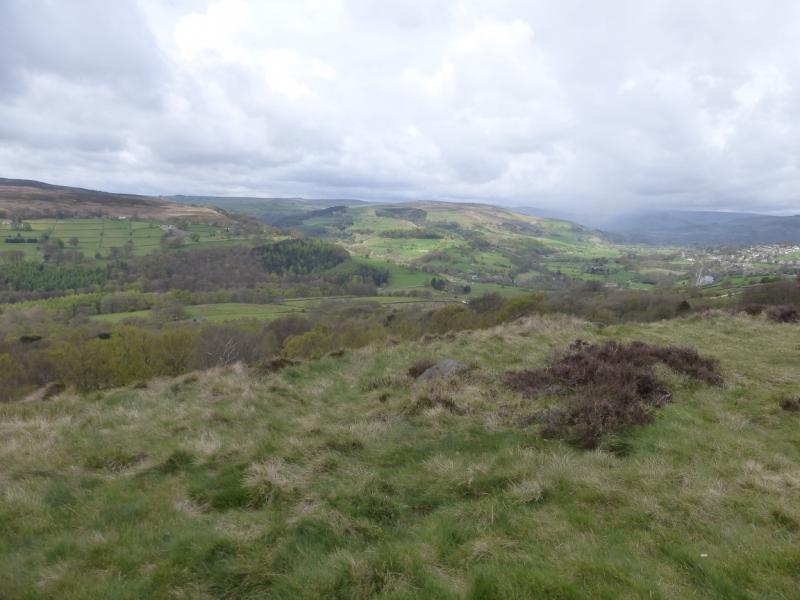
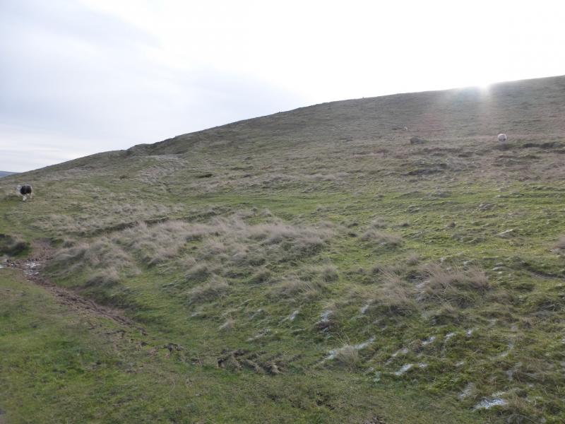
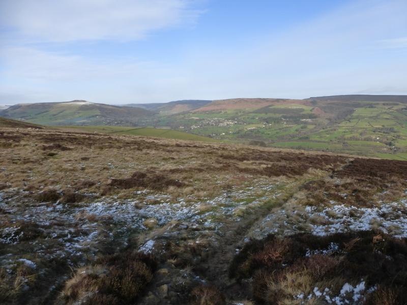
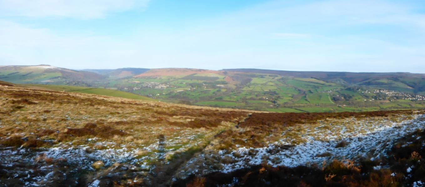
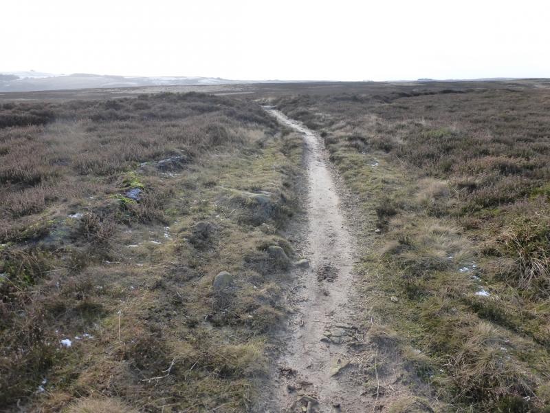
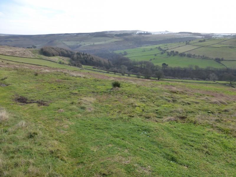
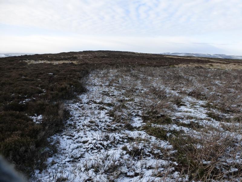
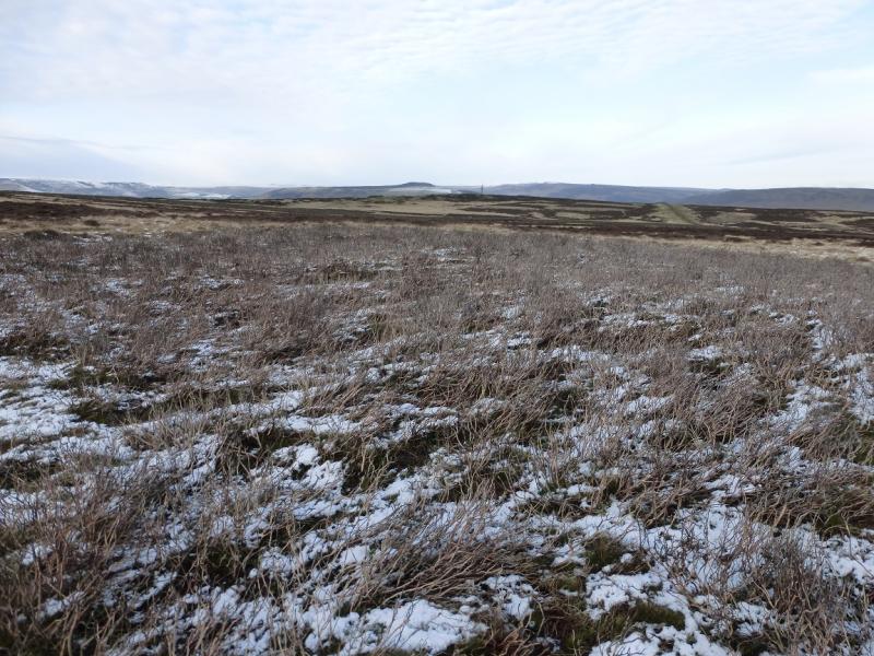
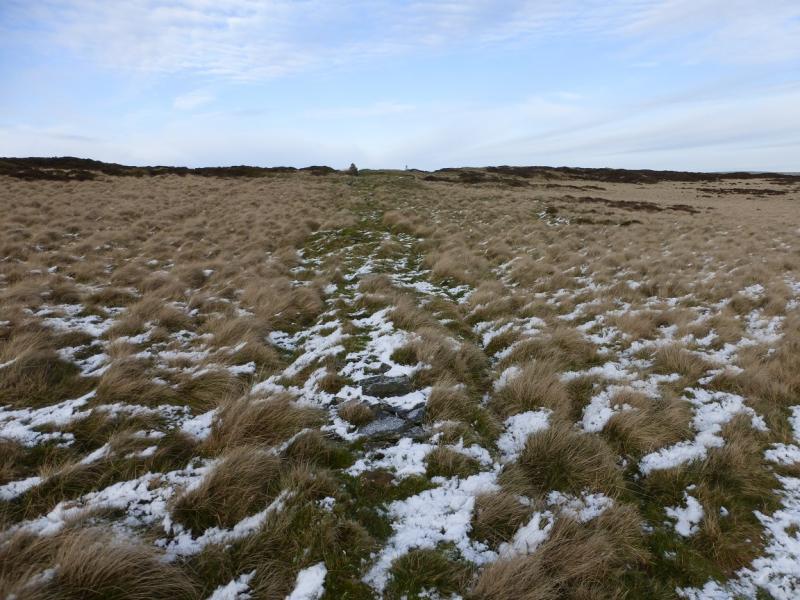
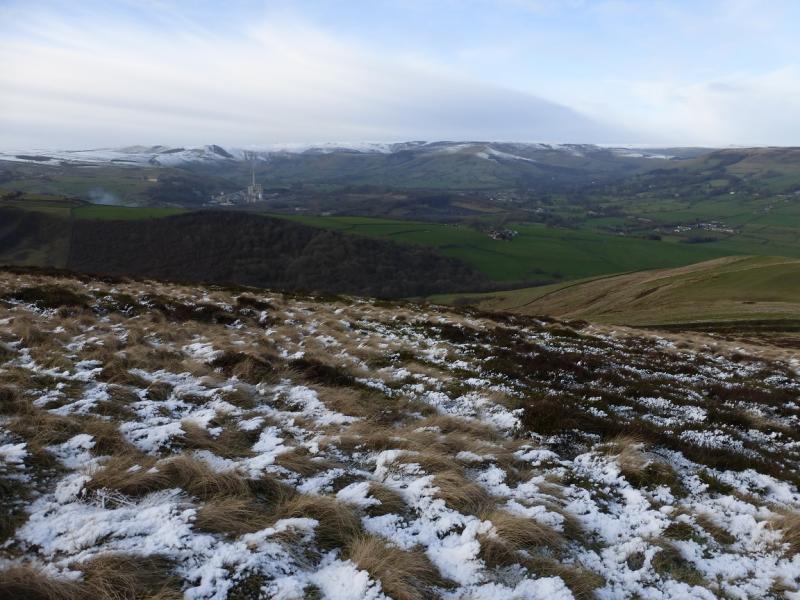
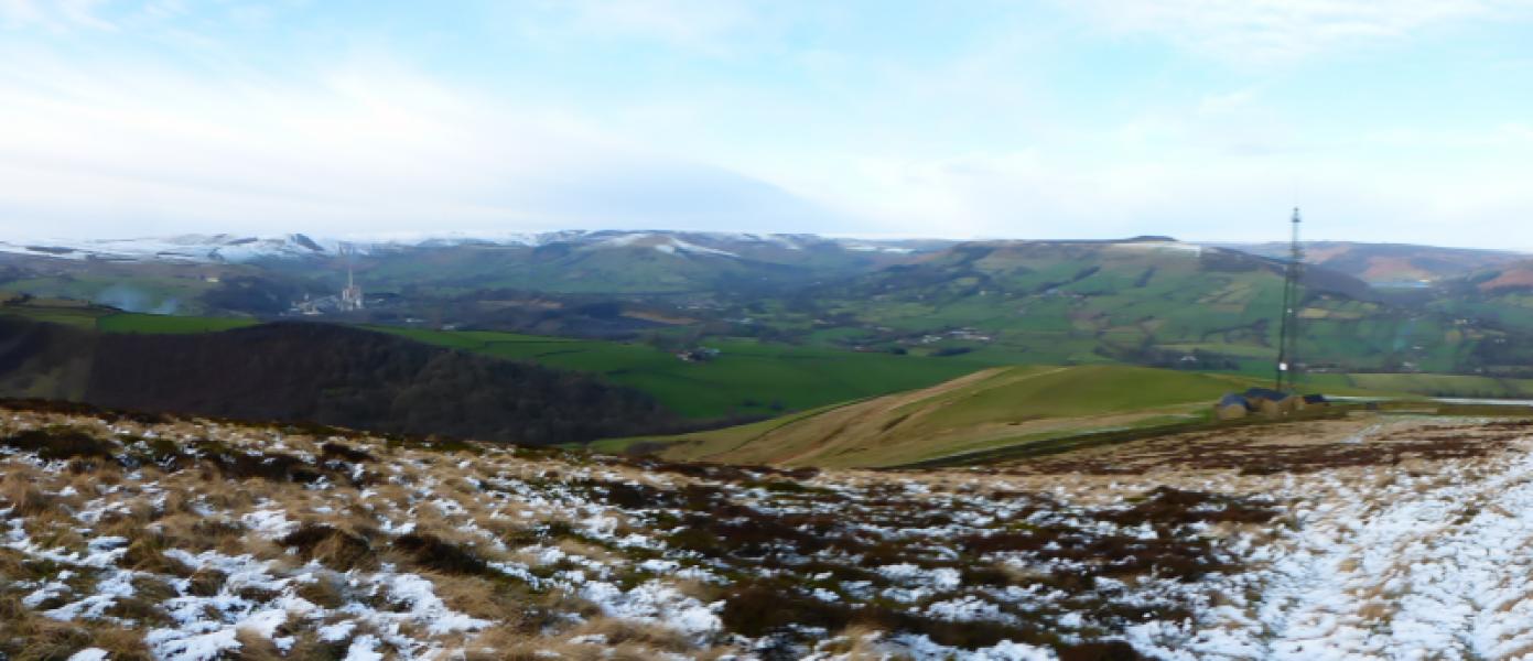
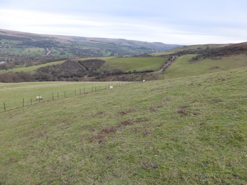
Offerton Edge is the obvious edge seen from the viewpoint by Surprise View car park above Hathersage. This route essentially goes around Offerton Moor, Abney Moor and Shatton Edge. It is a very pleasant walk, mainly on good paths which offers very good views in all directions but especially to the north where there is a panoramic view from Mam Tor Through Lose Hill, Win Hill, Derwent Edge, Bamford Edge, Stanage Edge to Millstone Edge. The ascent and descent routes are both moderately steep. Navigation is straight forward even in mist.
Route
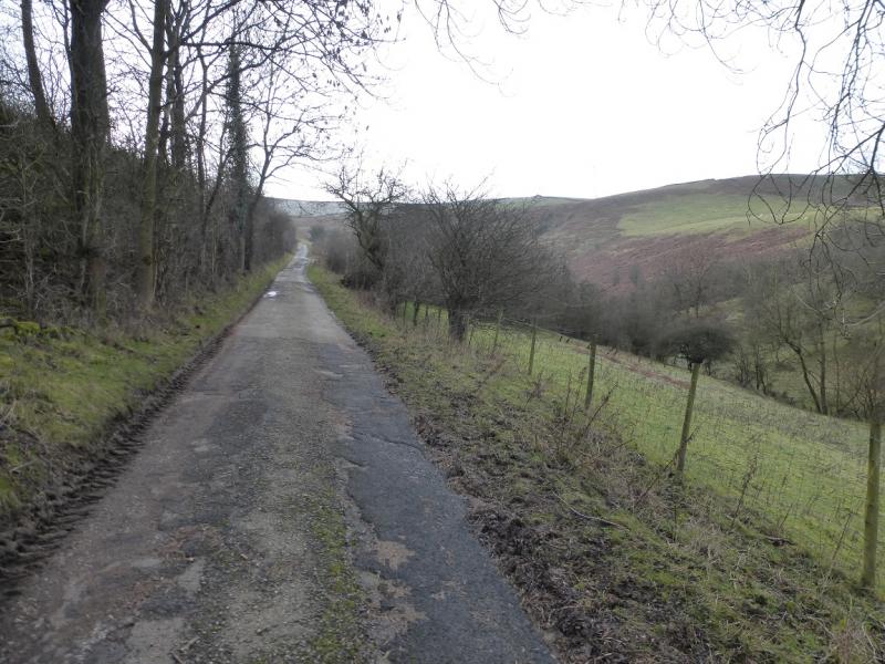
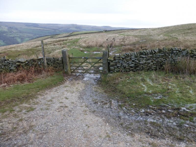
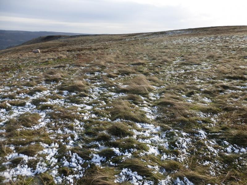
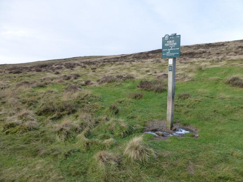
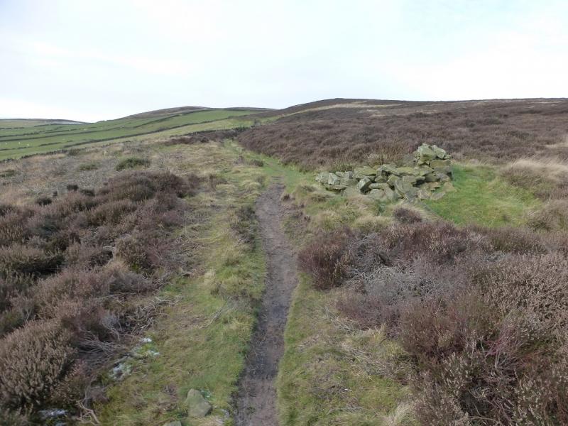
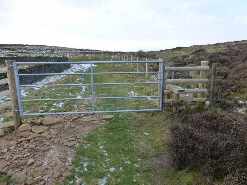
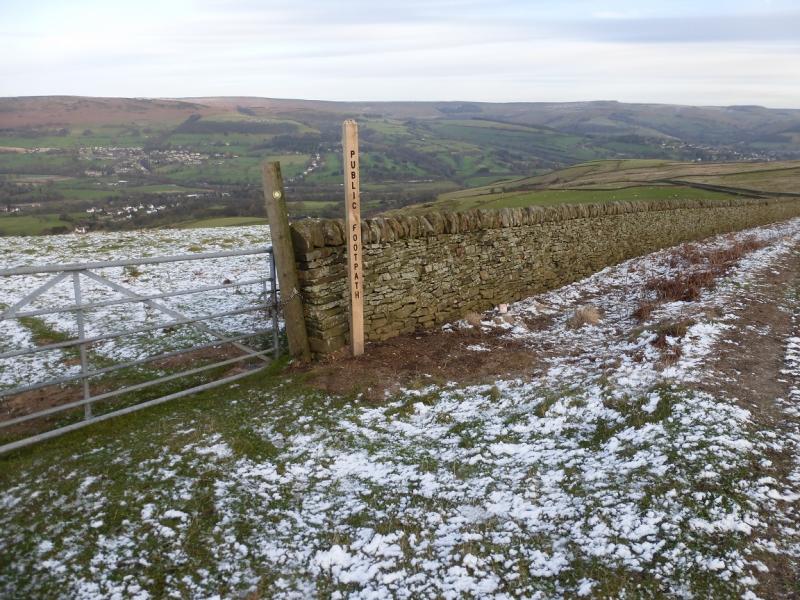
(1) Continue up road through Shatton village, turning left, uphill and S, just before a ford. Walk up the narrow tarmac road to where the tarmac runs out by a right hand bend. Go through a gate to follow a bridleway going left, E, horizontally. Follow this to a wall corner then leave the bridleway and follow a fainter path gradually climbing towards the edge above. Within a km, intersect with a more obvious path going NE to SW across the moor. The route is SW but a short detour NE takes one to the edge for better views to the N. Follow the path SW across Offerton Moor for about 1 km to reach a path crossroads with a sign; this is to the W of Smelting Hill. Go right at the sign and follow an obvious edge path, roughly W, towards Abney Moor until a stile is reached by a metal gate with a barbed wire fence on the right which blocks access to an obvious path going uphill. There is no need to climb over the barbed wire fence as a little further on is a gate which gives easier access to the other side of the fence. Retrace a little to reach the foot of the obvious path and follow it up, steeply for a short distance, to reach the crest where one can turn left, no path, and walk the short distance to the highest point, no cairn, on Burton Bole End which is at a height of about 410 m.
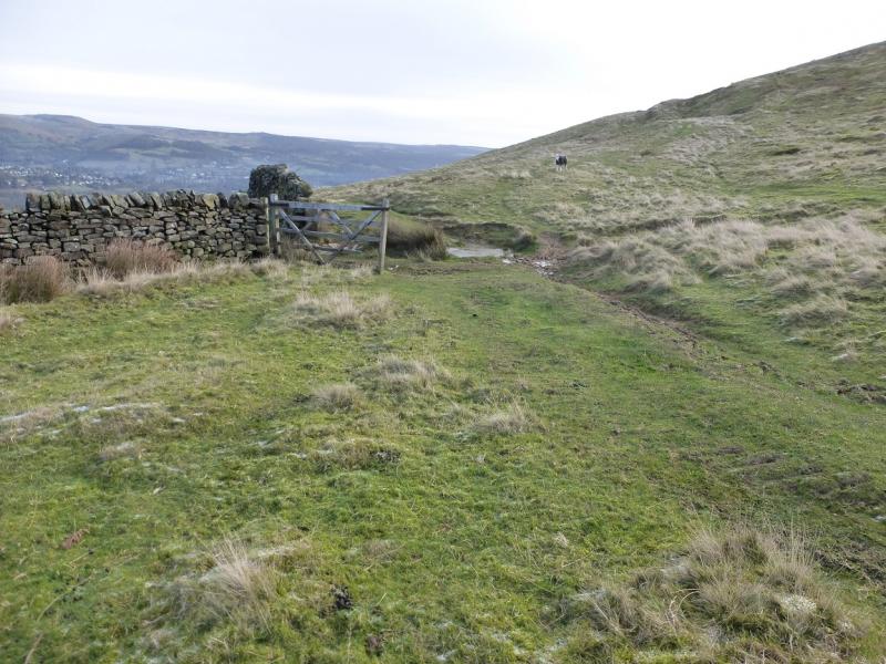
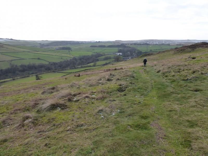
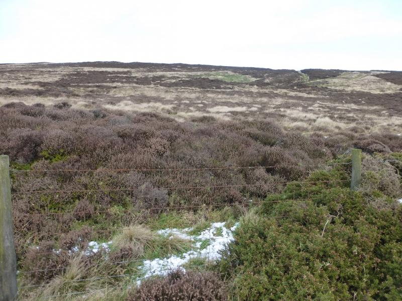
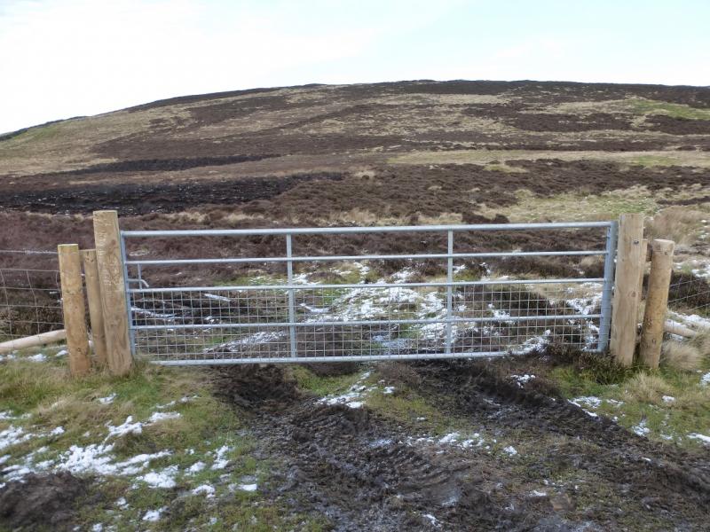
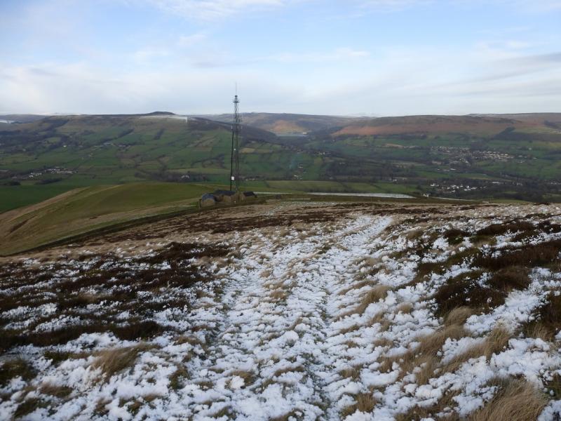
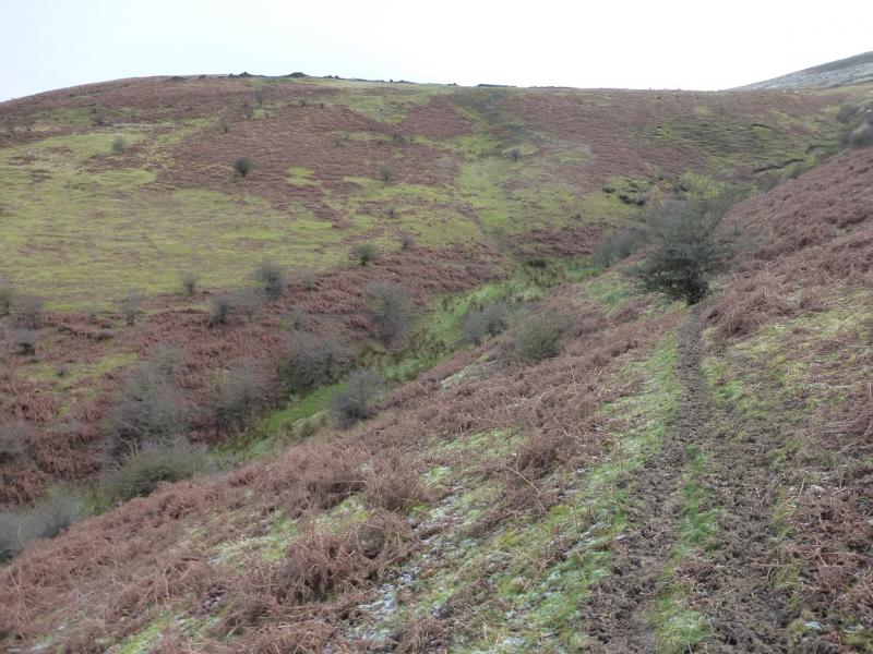
(2) Walk roughly N to NE to pick up a path and follow it to where it crosses a very broken wall which can be followed towards the aerial. Pick up a grassy track which takes one down to Shatton Lane almost by the aerial. If the path cannot be located then Shatton Lane can be reached by descending NW from Burton Bole End and the lane can be followed NE to the aerial. Any walls encountered can be followed until a gate is reached. From the aerial, walk E for about 150 m to reach the sign for the path down; it may be necessary to climb over the gate! Walk down the moderately steep grassy ridge to reach a fence going right towards a clough. A path leads into the clough and crosses it fairly high up. Once across, there seems to be more than one path so descend almost due N to reach a gate on the corner of the lane used in the ascent from Shatton then walk back down the lane to Shatton.
Notes
(a) This walk took place on 16th January, 2016.
Photos - Hover over photo for caption. Click on to enlarge. Click on again to reduce.