Get Lost Mountaineering
You are here: England » North Yorks Moors & Coast
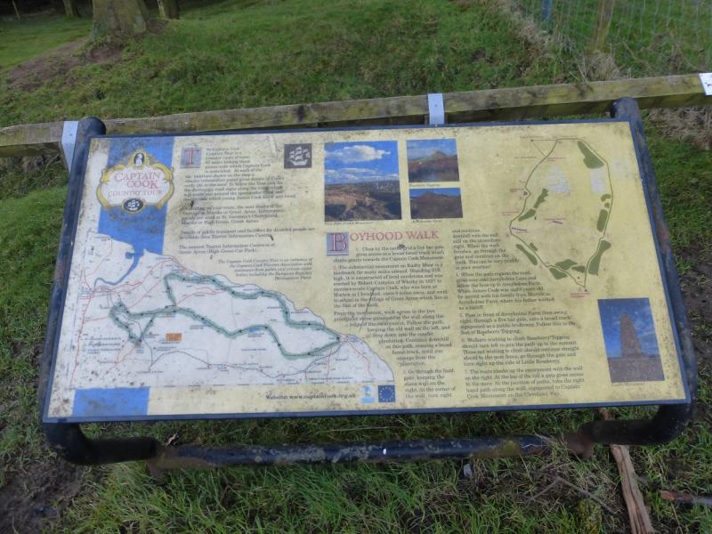
Captain Cook's Monument & Roseberry Topping clockwise from Percy Cross Rigg lane
Captain Cook's Monument & Roseberry Topping
clockwise from Percy Cross Rigg lane
Start/Finish
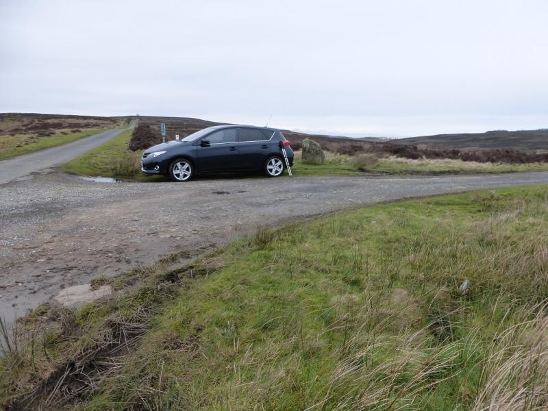
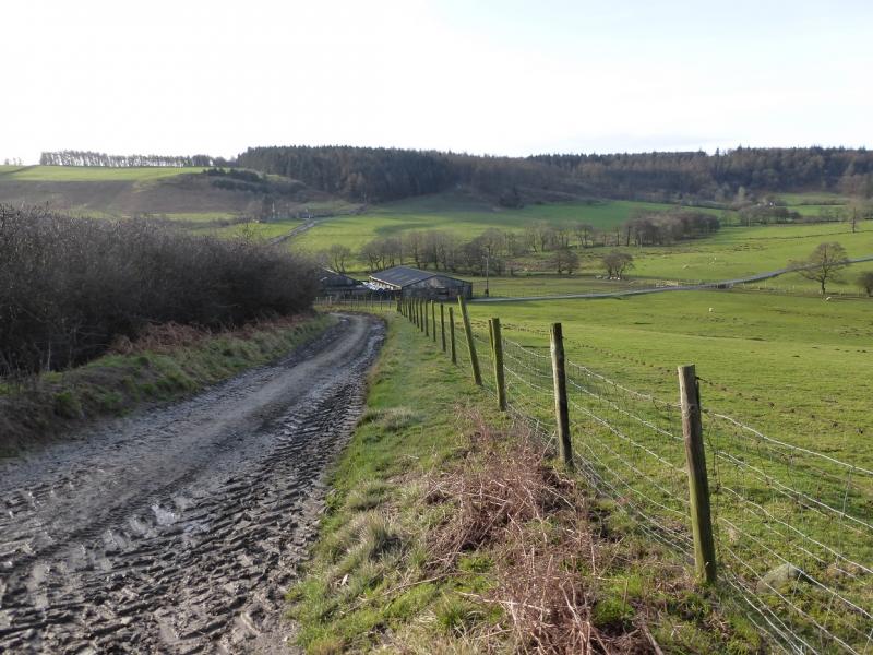
Start of track to Sleddale from near top of Percy Cross Rigg lane. This is at NZ 613 113 and about 2 miles from the start of the lane which leaves the minor road between Kildare and Commondale at a diamond crossroads. Parking is very limited but more is available further up the lane especially at its end. As this section of lane is walked anyway, nothing is lost by parking further up the lane. The post code YO21 2SD should take one about halfway up Percy Cross Rigg lane.
Distance/Time
13 km About 4 – 5 hours
Peaks
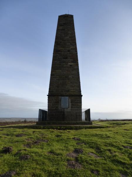
Captain Cook's Monument, 324 m, NZ 590 101.
Roseberry Topping, 320 m, NZ 579 126.
Codhill Heights, 296 m, NZ 613 127.
OL 26, 1:25 000, North Yorks Moors Western Area.
Introduction
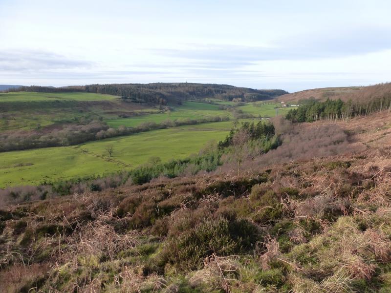
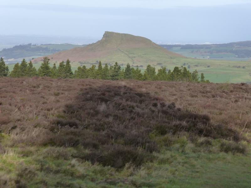
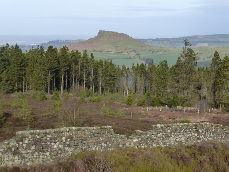
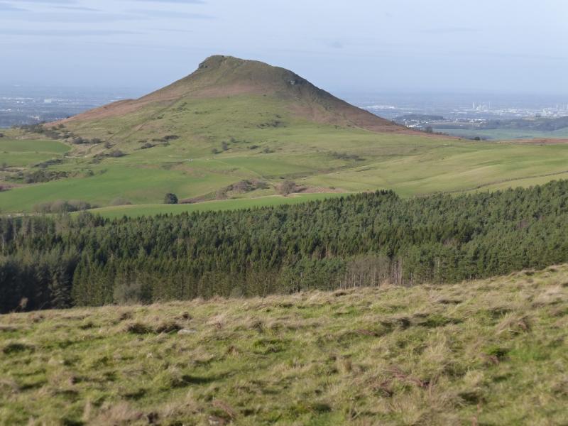
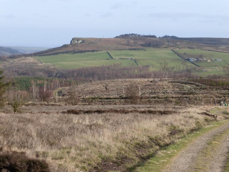
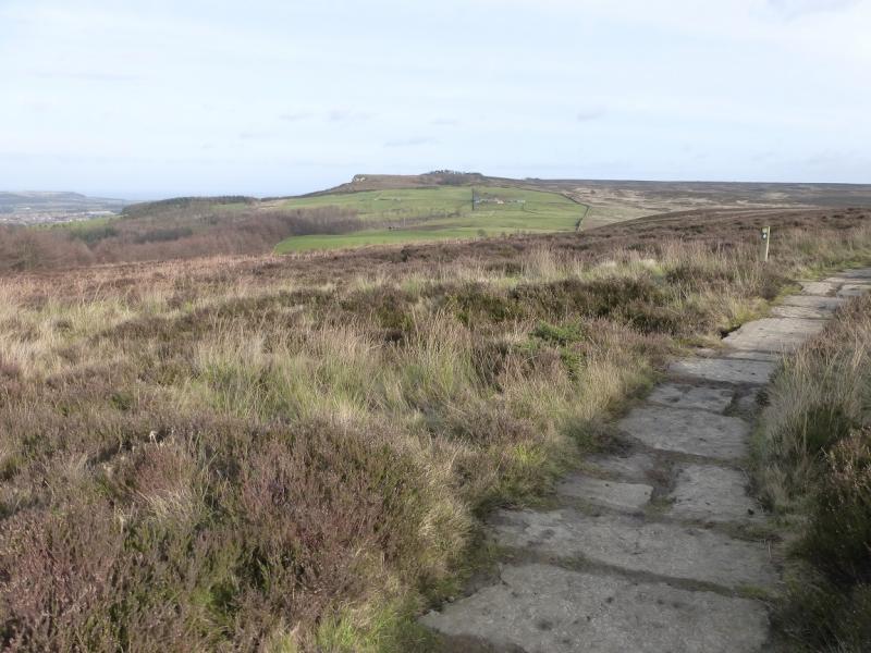
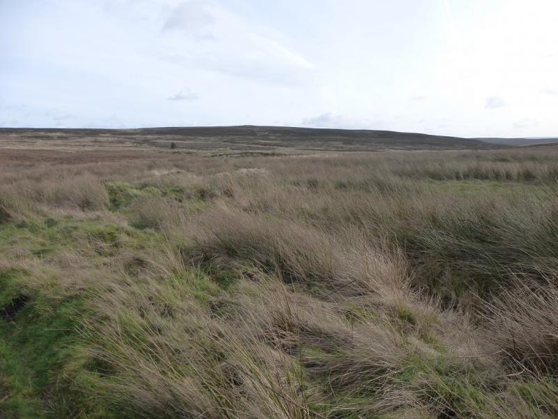
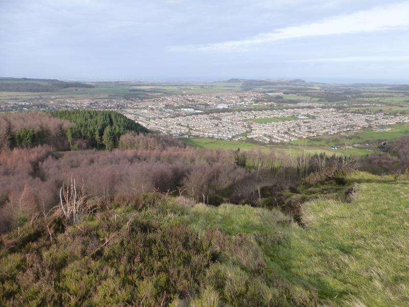
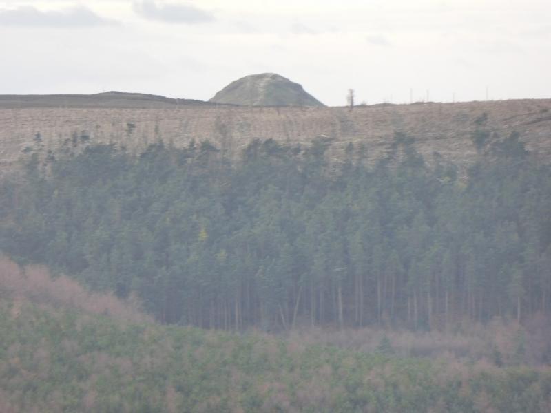
The North Yorkshire Moors covers a large area and is mainly moorland, ridges and a few distinctive peaks, none of which rise to even 400 m. Roseberry Topping is probably the most distinctive peak as it is not part of a ridge. It is well seen from the A172 near Stokesley as is Captain Cook's Monument. The ground under foot is often muddy but there are some well laid paths these days. There are six noticeable ascents on this route. This route is also uploaded as an anti-clockwise route (although it is not 100% identical) however the views of Roseberry Topping and Highcliff Nab are more pleasing on this route.
Route
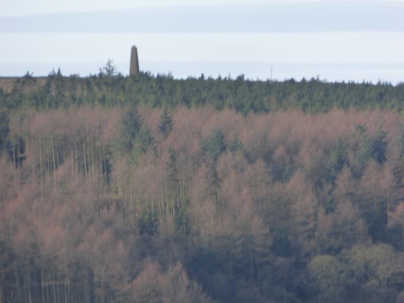
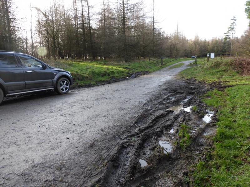
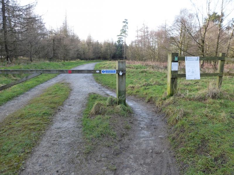
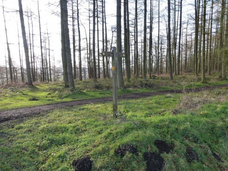
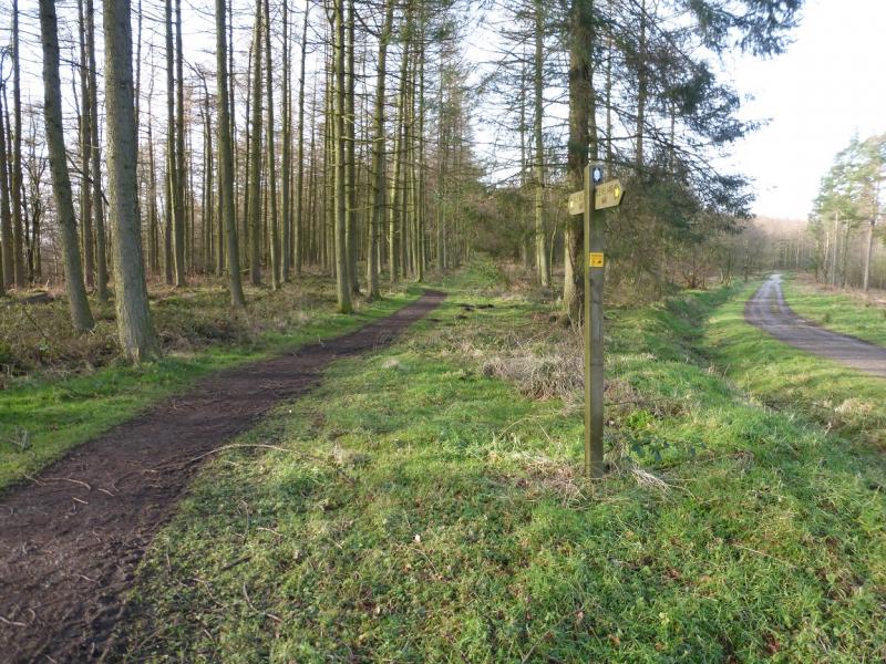
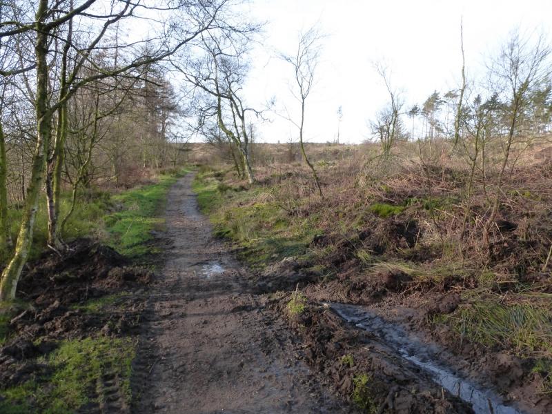
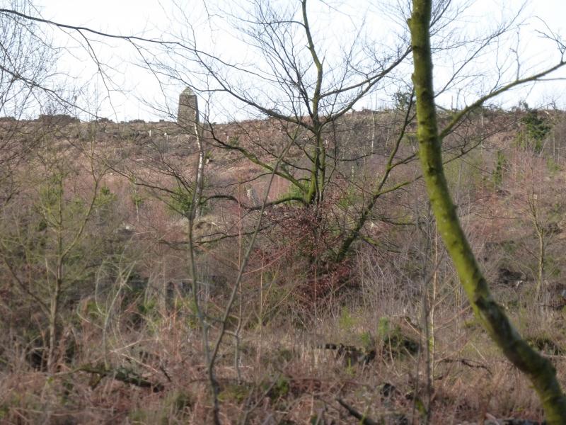
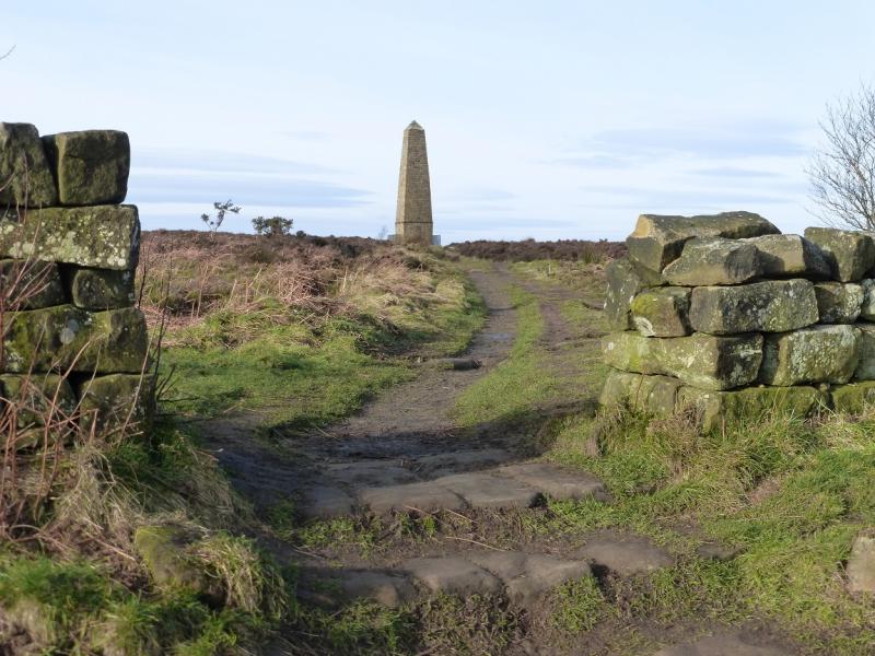
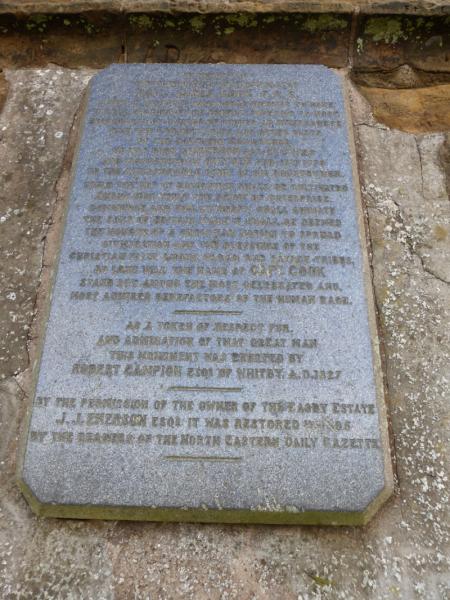
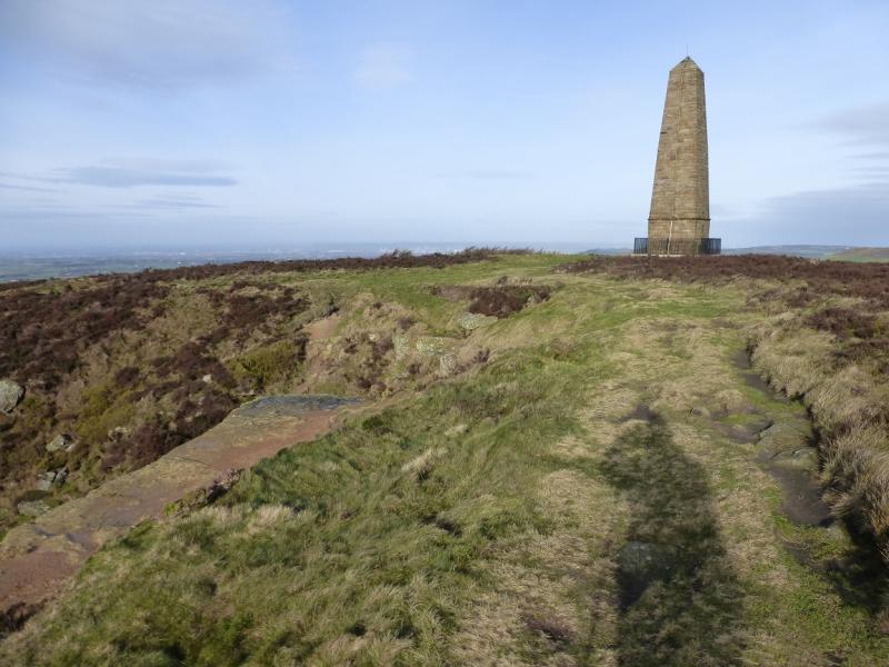
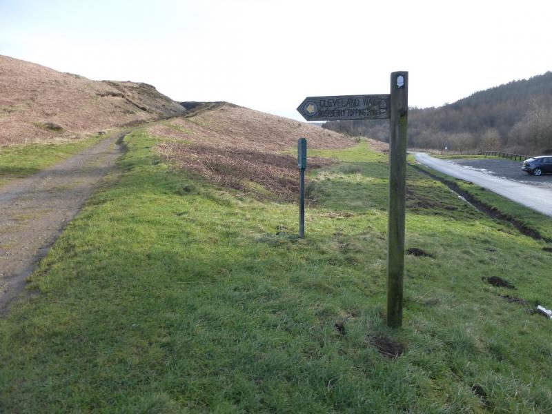
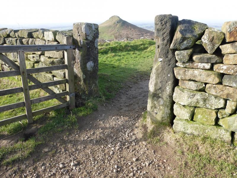
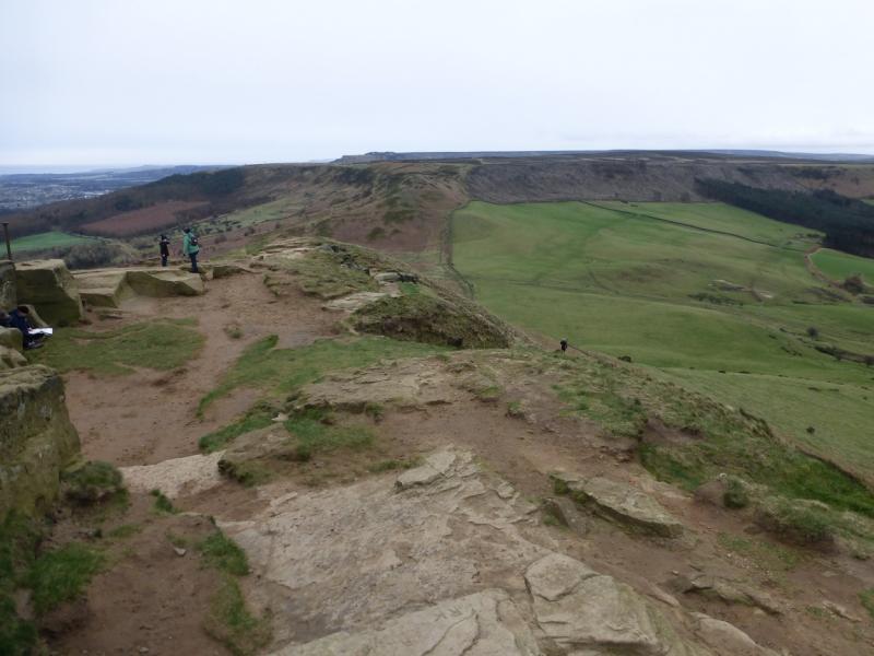
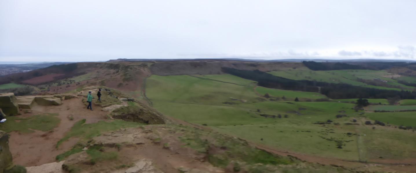
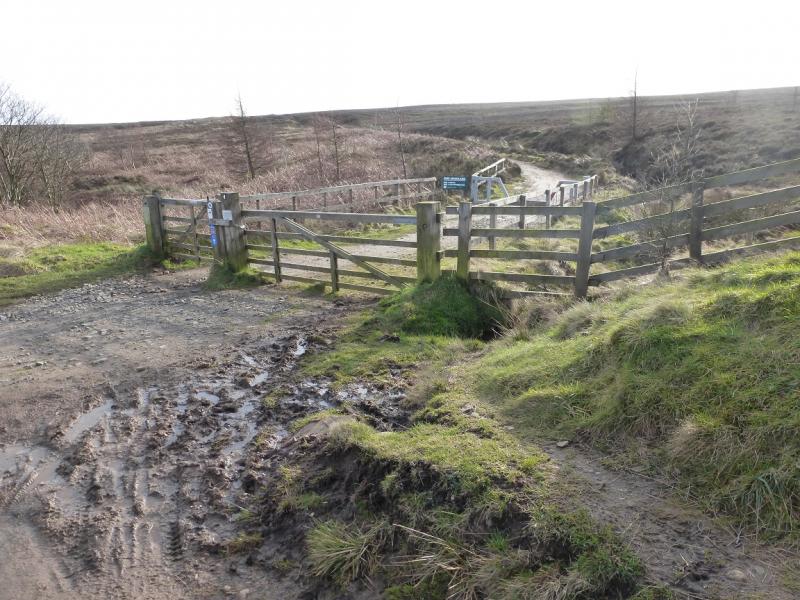
(1) From the T junction up Percy Cross Rigg lane, go left in the opposite direction to the track which descends NE towards Sleddale. Within about 50 m, reach a grassy track and follow it to the right on the edge of the valley. Captain Cook's Monument is visible to begin with. After a sweeping right hand bend, look for a path going off to the left. This goes into a thin wood before drifting left to shadow a rutted track downhill. The path comes out near a track junction. Continue down to reach the road – not shown on older maps – and follow it ahead, past Lonsdale Farm then steeply uphill. When the gradient eases, continue to a large, rough parking area on the right where a gravel track starts after a locked barrier. Follow the track until a sign post is reached on the left and a path (Cleveland Way) starts. Follow this path up all the way to the tower which marks the summit of Captain Cook's Monument, 324 m, the highest point on this walk. There is a large hollow about 50 m to the S which can offer shelter from rough weather.
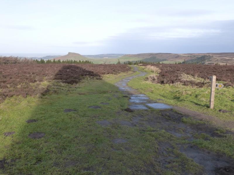
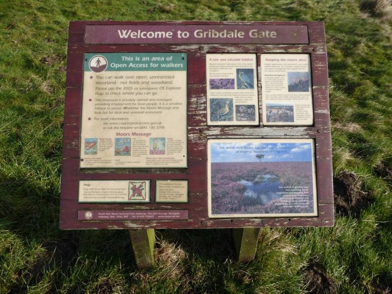
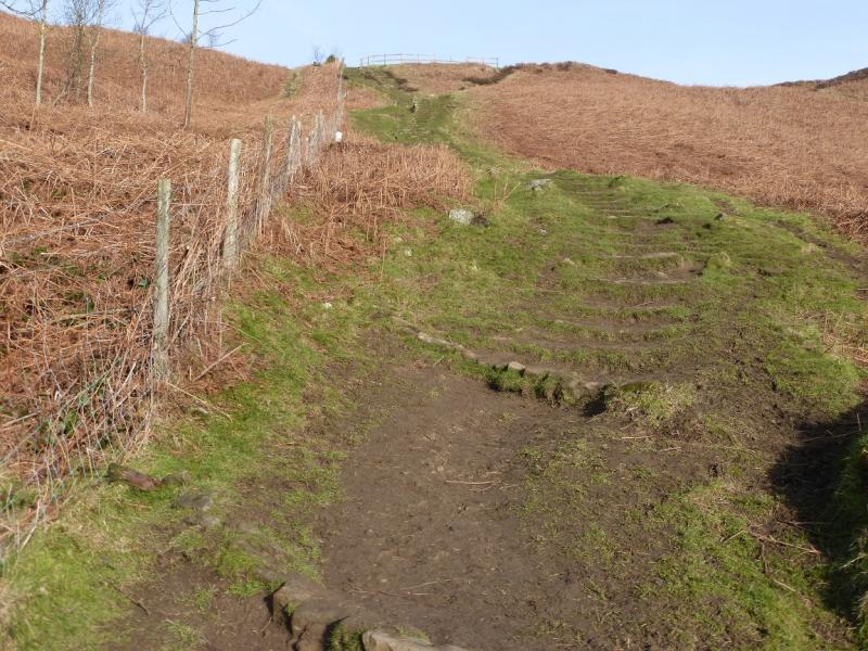
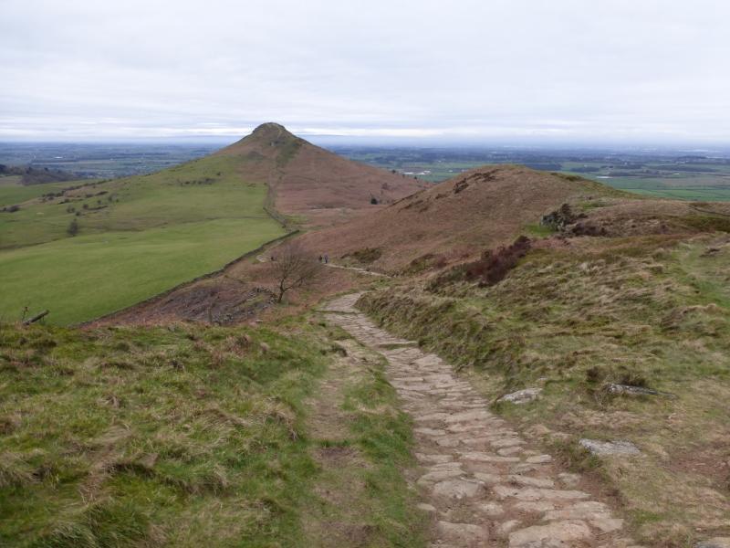
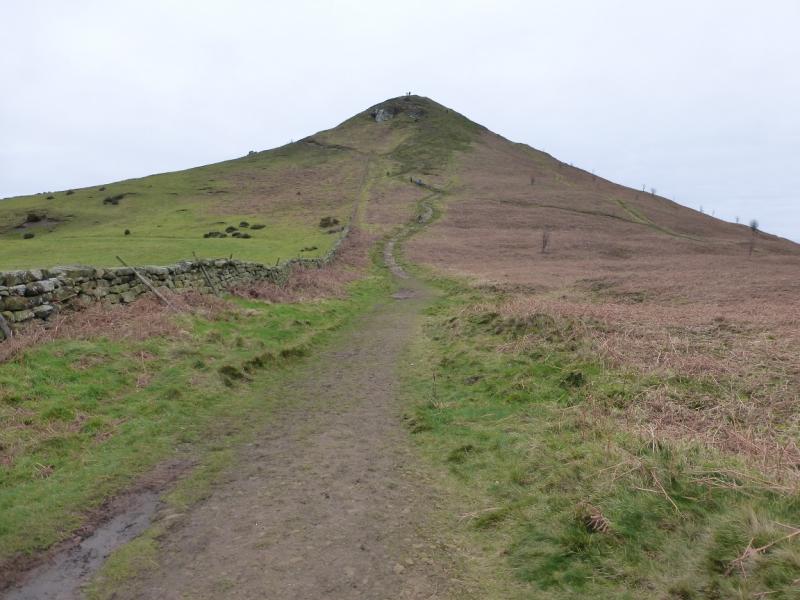
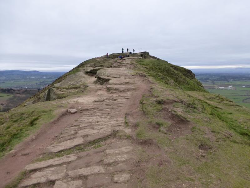
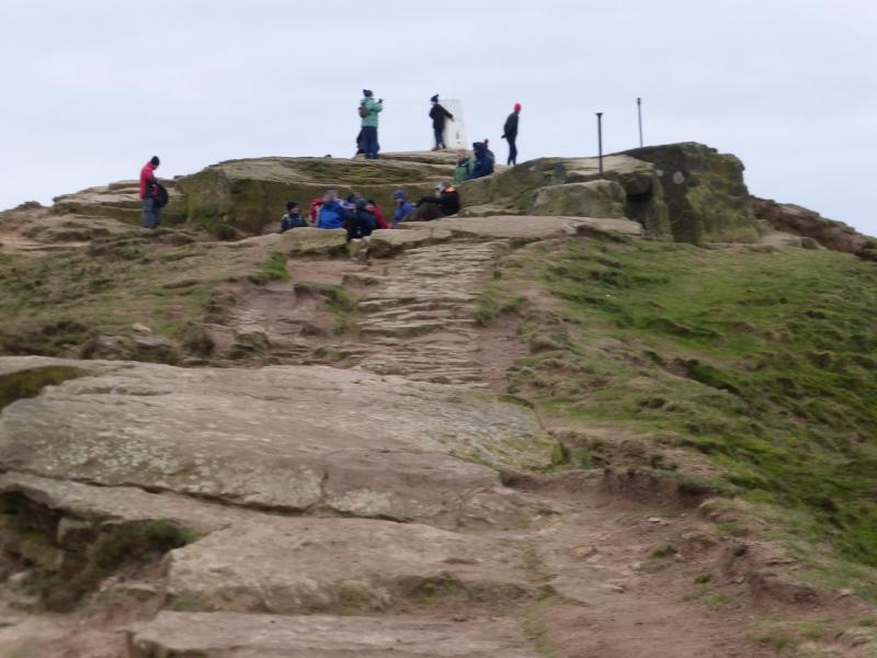
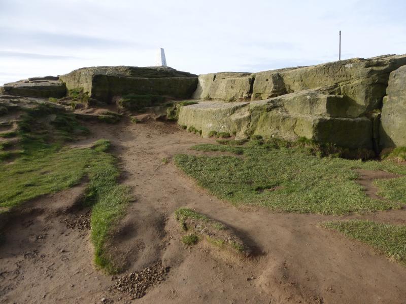
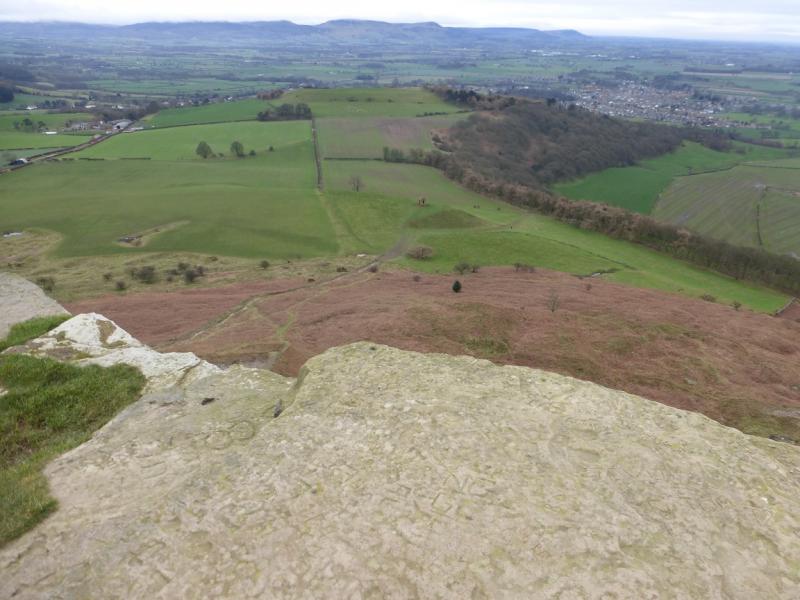
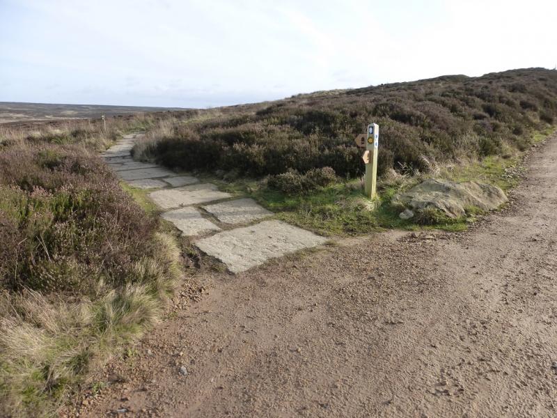
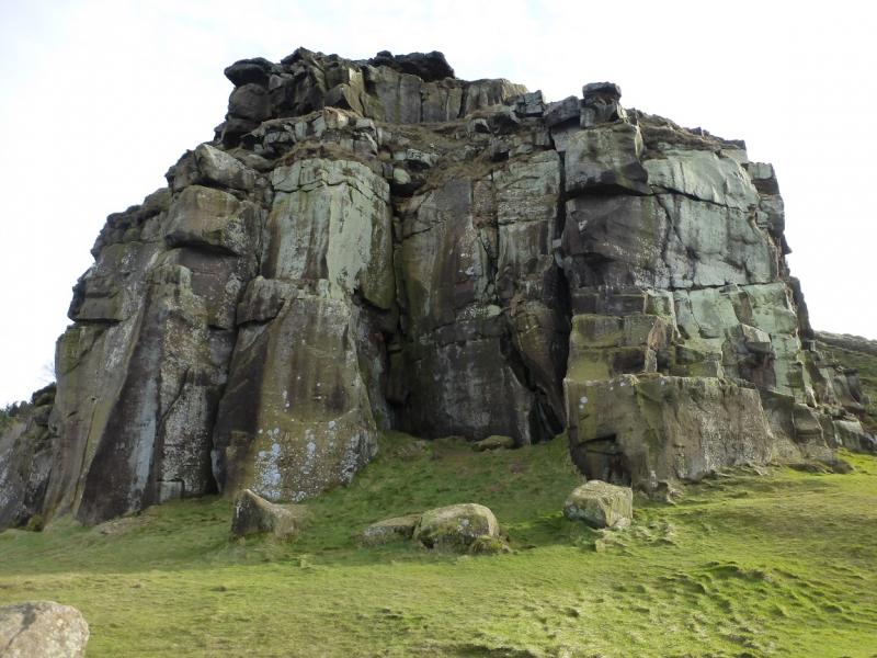
(2) Descend N, still on the Cleveland Way, and reach the large car park at the bottom called Gribdale Gate. Cross over and regain much of the lost height, still on the Cleveland Way. After nearly 2 km from the car park, reach a corner in the wall where there is a gate. Go through the gate before descending W on a slabbed path to reach a col. Continue up the other side and reach the trig point beyond some large blocks which is the summit of Roseberry Topping, 320 m. On a clear day, it is one of the best viewpoints in the area.
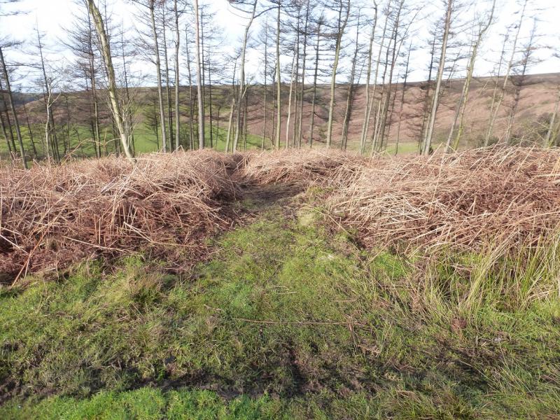
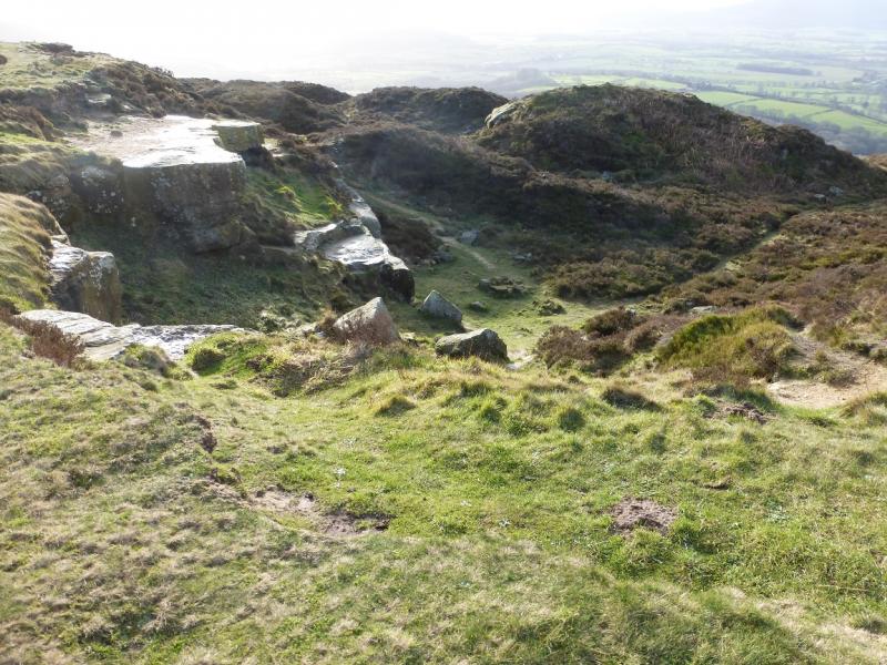
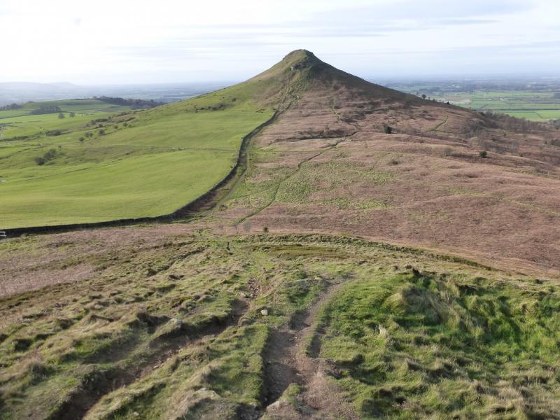
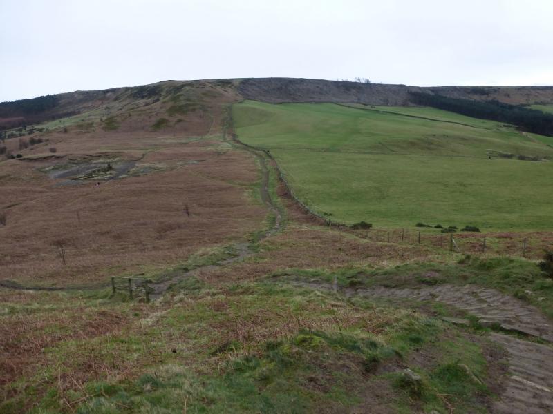
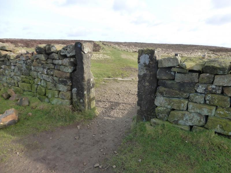
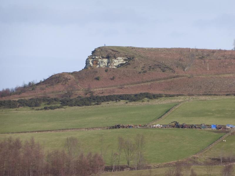
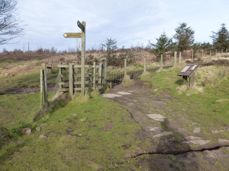
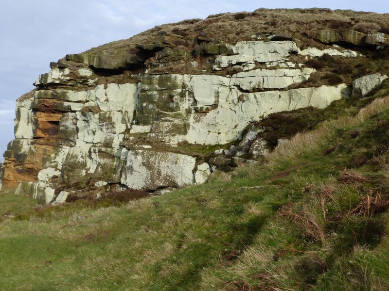
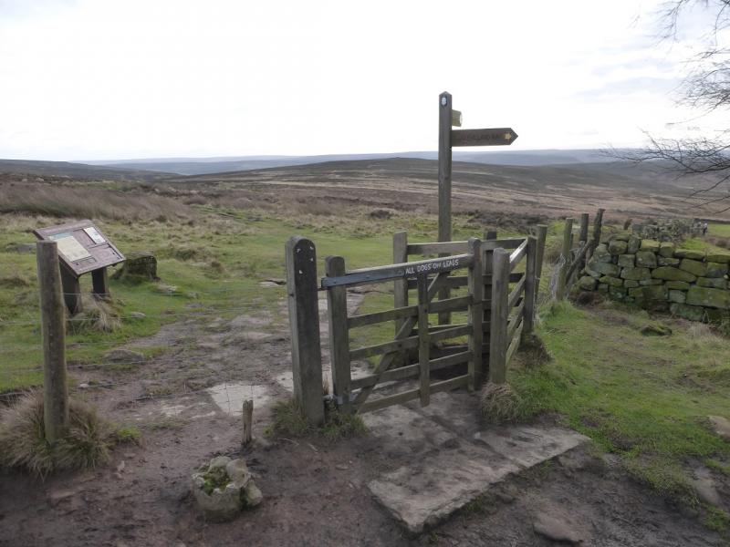
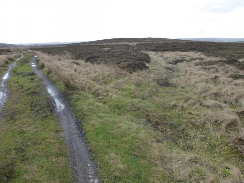
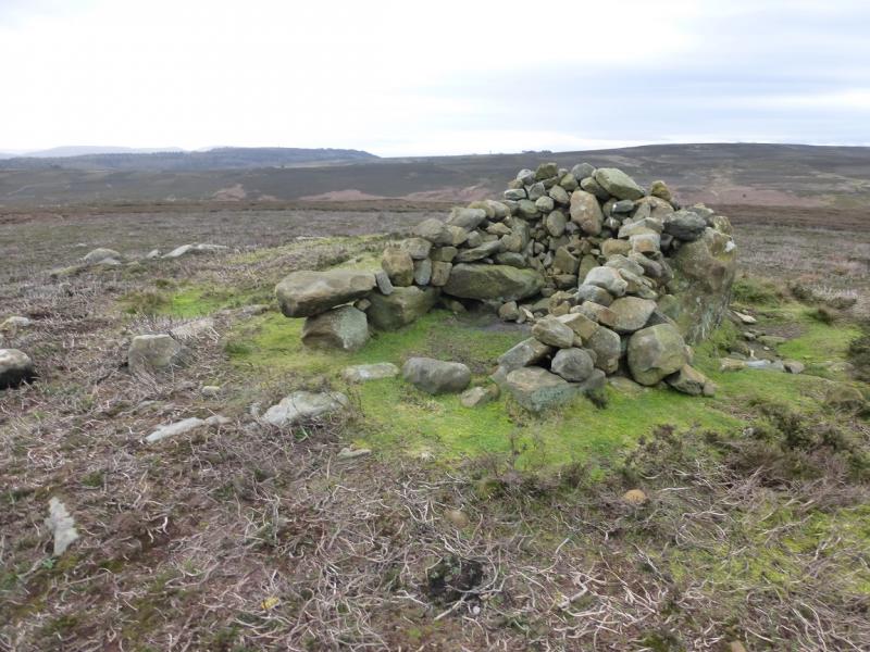
(3) Retrace back to the gate on the crest of Newton Moor. Take the track directly ahead from the gate – it bisects the angle between the walls. Follow it over a brow then down to another track. Turn right on this track. (If a quicker return to the start is needed follow this track as it is a continuation of the Percy Cross Rigg lane.) Soon, leave the track, signed, and take the path off to the left which leads down to a shallow hollow then up, past Highcliffe Farm, to reach a sign post where the Cleveland Way goes left. Follow the Cleveland Way and, within a few minutes, reach the bottom of the large crag known as Highcliff Nab which will have been visible most of the way from the crest on Newton Moor. Retrace to the signpost and information boards. From here the track for Sleddale goes SSE. Follow it until a faint path forks off right and continue to the medium cairn which marks the summit of Codhill Heights, 296 m, which seems more of a shoulder than a summit.
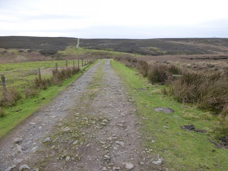
(4) Continue on the path which leads down to the track to the SW of Sleddale then follow it up back to the start.
Notes
(a) This walk took place on 4th February, 2016.
(b) The walk could be shortened by about 2km and an hour by missing out Roseberry Topping but this would seriously downgrade the walk.
Photos - Hover over photo for caption. Click on to enlarge. Click on again to reduce.