Get Lost Mountaineering
You are here: England » Peak District » Baslow to Ladybower including Gardom's, Birchen, Froggat, Curbar, Burbage, Higgar Tor & Stanage
Shatton Edge & Offerton Moor from Abney
Shatton Edge & Offerton Moor from Abney
Start/Finish
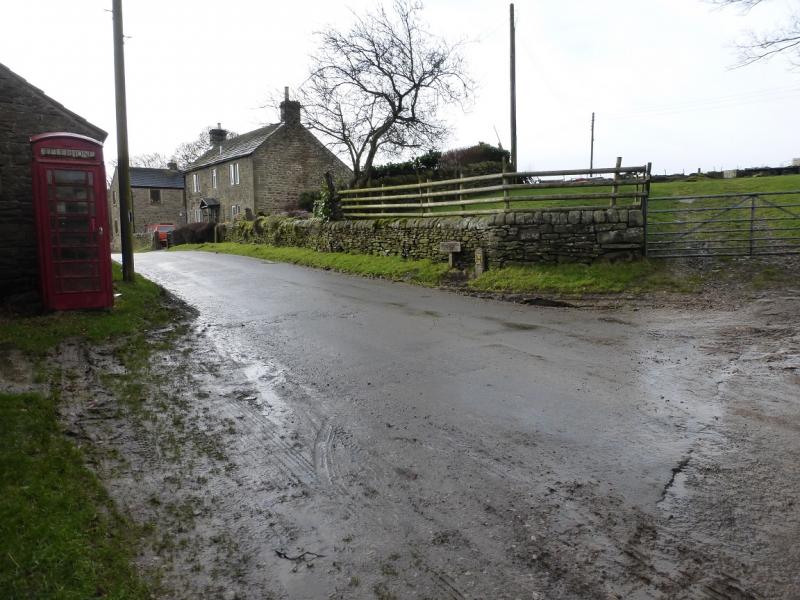
Abney village where there is limited roadside parking. On 7/2/16, the only road to Abney which was open (subsidence had taken its toll) was from the Plough Inn just outside Hathersage on the road to Grindleford.
Distance/Time
10 km. About 2 - 3 hours.
Peaks
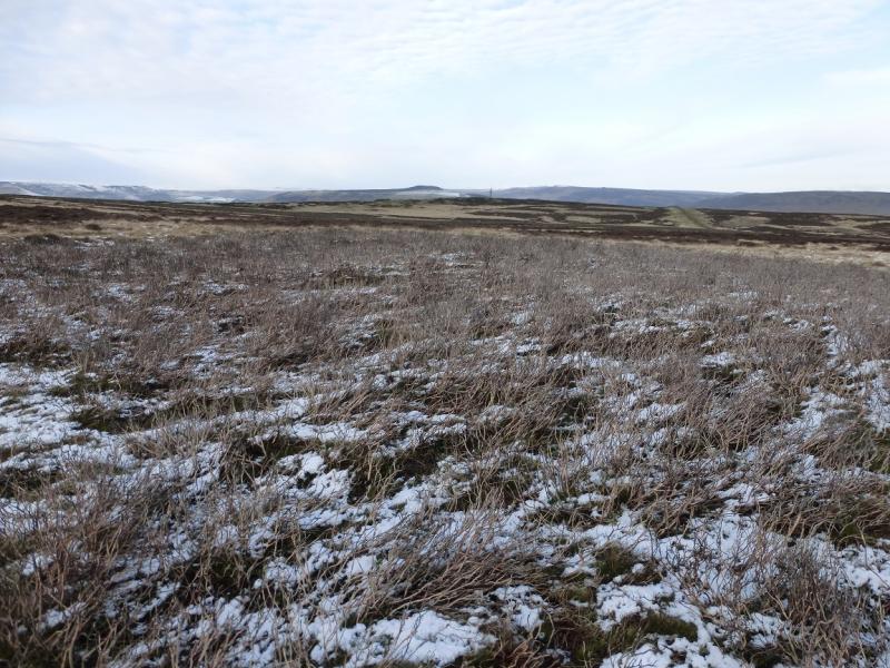
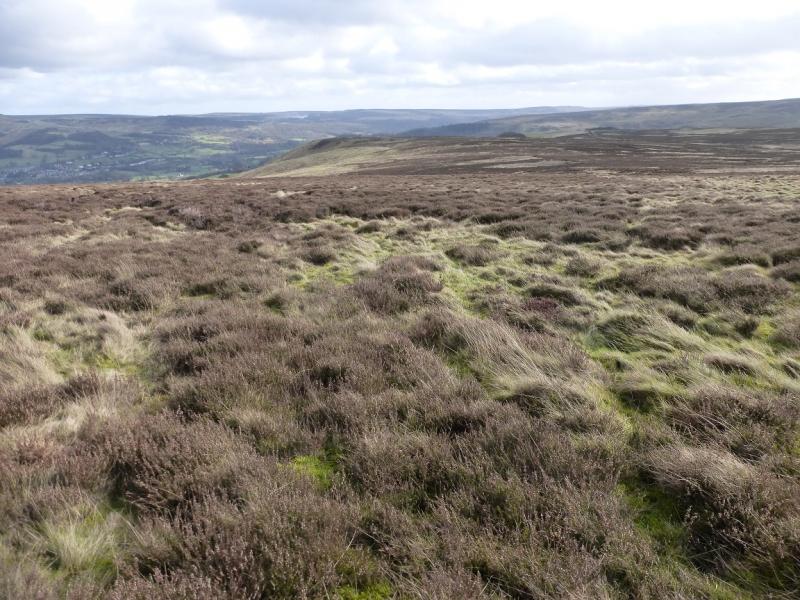
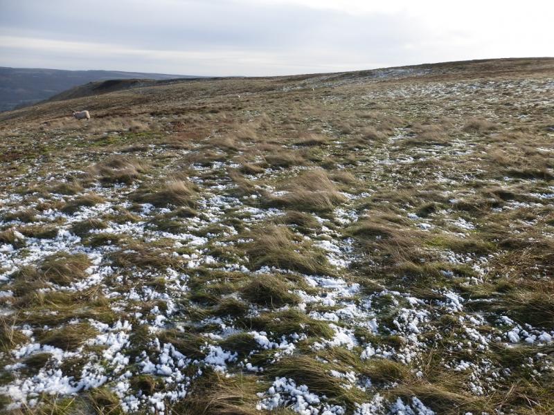
This is mainly an edge and moor walk. The highest point is on Burton Bole End at about 410 m.
OS Outdoor Leisure 1: Dark Peak. OS Outdoor Leisure 24: White Peak
The route is really awkward in terms of maps being partly on the bottom of the Dark peak map and partly on the top of the White Peak map. However, there is a “Yellow Walk Map” titled “Around & About Bradwell” which is an OS extract and this small map covers the whole walk.
Introduction
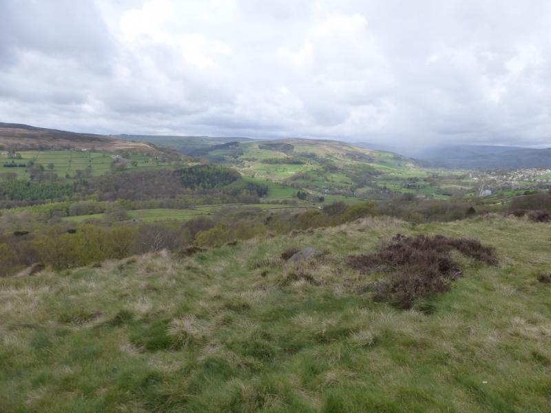
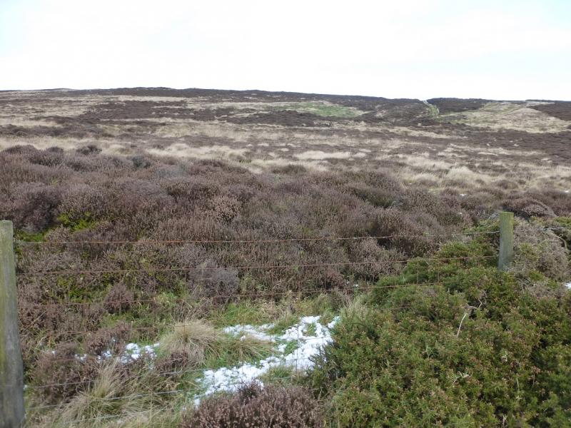
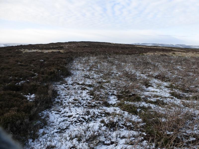
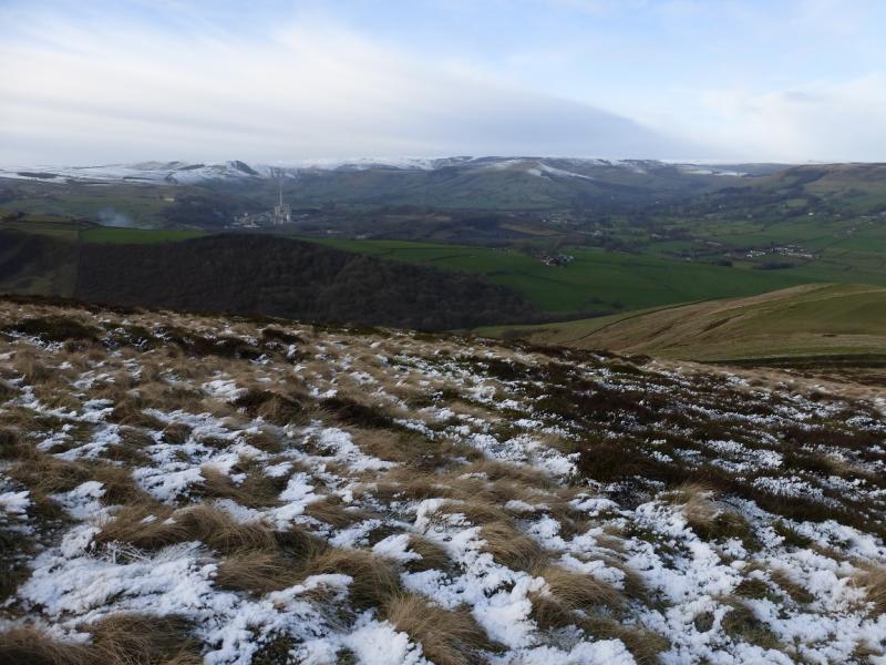
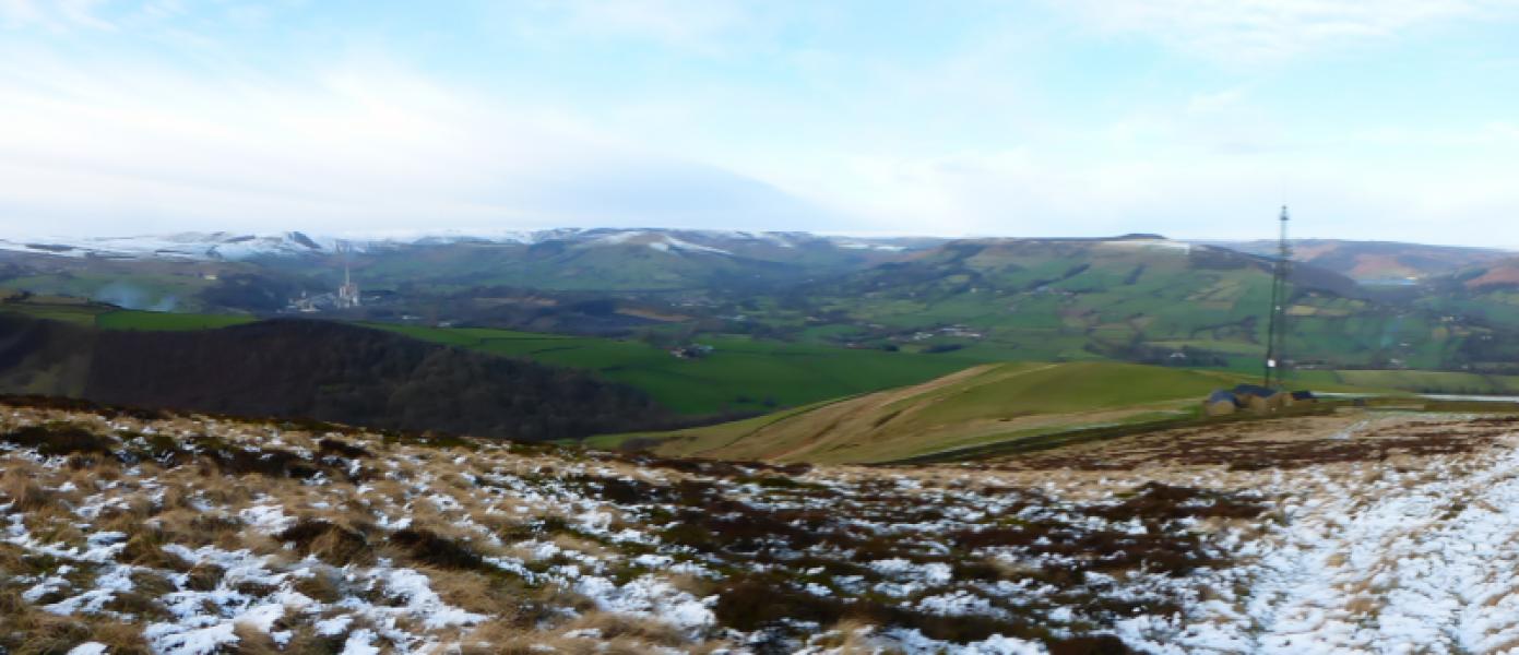
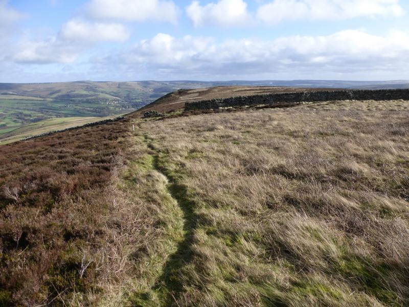
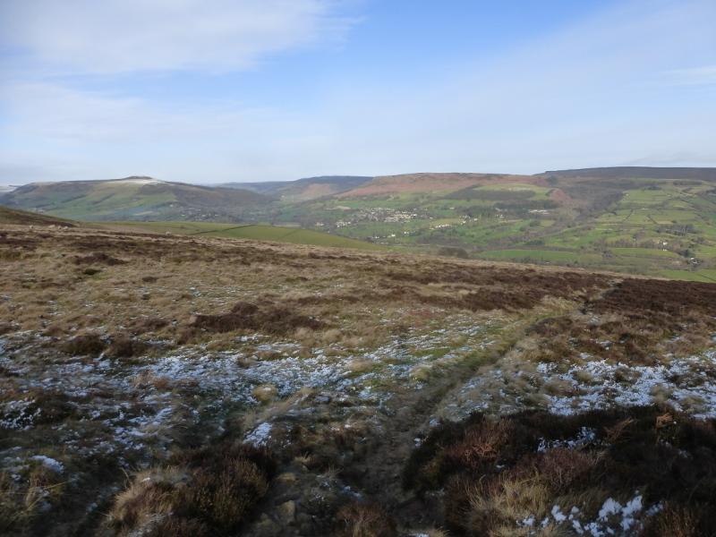
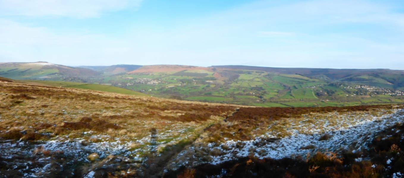
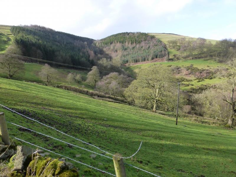
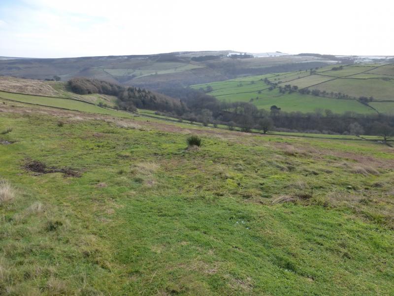
Offerton Edge is the obvious edge seen from the viewpoint by Surprise View car park above Hathersage. This route takes in Shatton Edge and some of Offerton Moor. It is a very pleasant walk, mainly on good paths which offers very good views in all directions but especially to the north where there is a panoramic view from Mam Tor Through Lose Hill, Win Hill, Derwent Edge, Bamford Edge, Stanage Edge to Millstone Edge. Part of this route is not on official rights of way so “legal” alternatives are given where appropriate.
Route
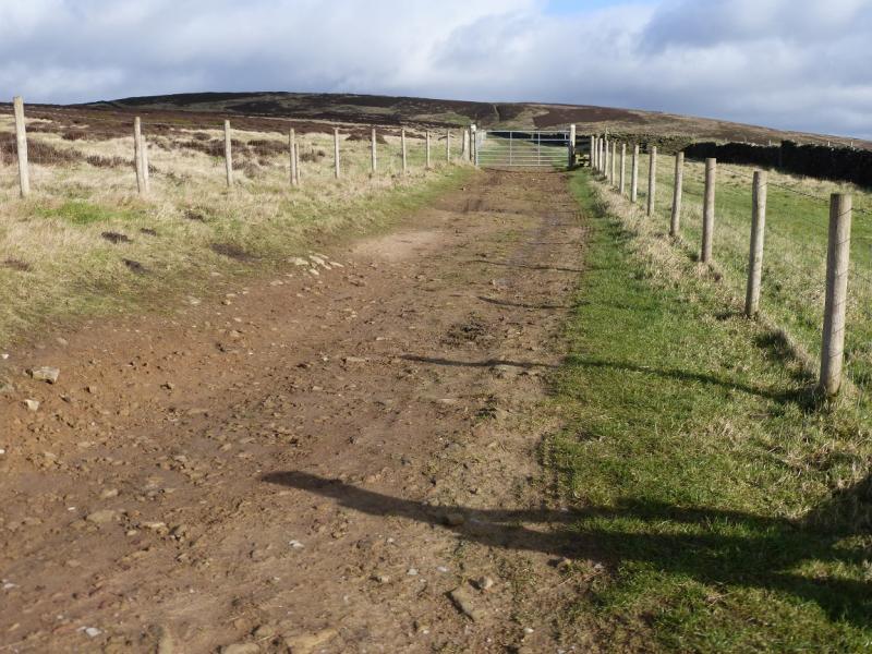
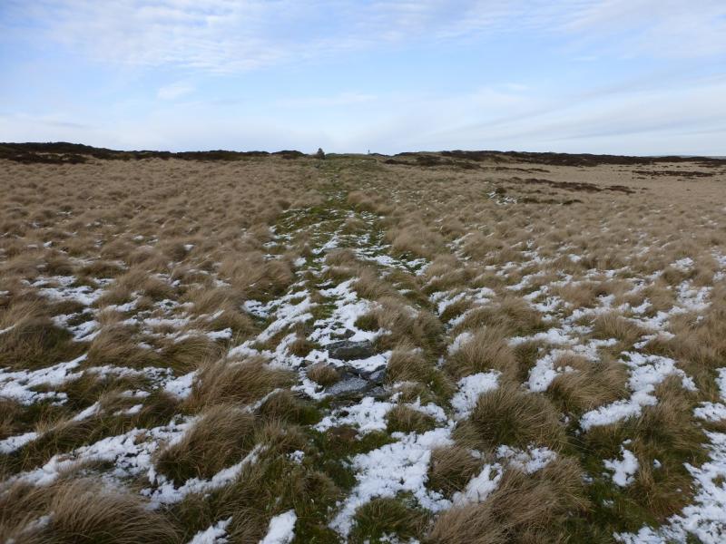
(1) Walk up the lane opposite the phone box in Abney to reach the end of Brough Lane at its top. Turn right, NE, and continue to another T junction, Wolf's Pit, by a gate where Shatton Lane goes left and the path over Abney Moor goes right. Go through the gate then drift right to the bottom of a grassy track and follow it up, steeply for a short distance, to reach the crest where one can turn left, no path, and walk the short distance to the highest point, no cairn, on Burton Bole End which is at a height of about 410 m.
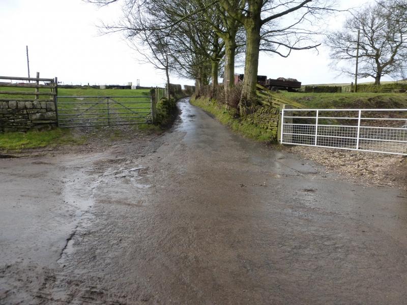
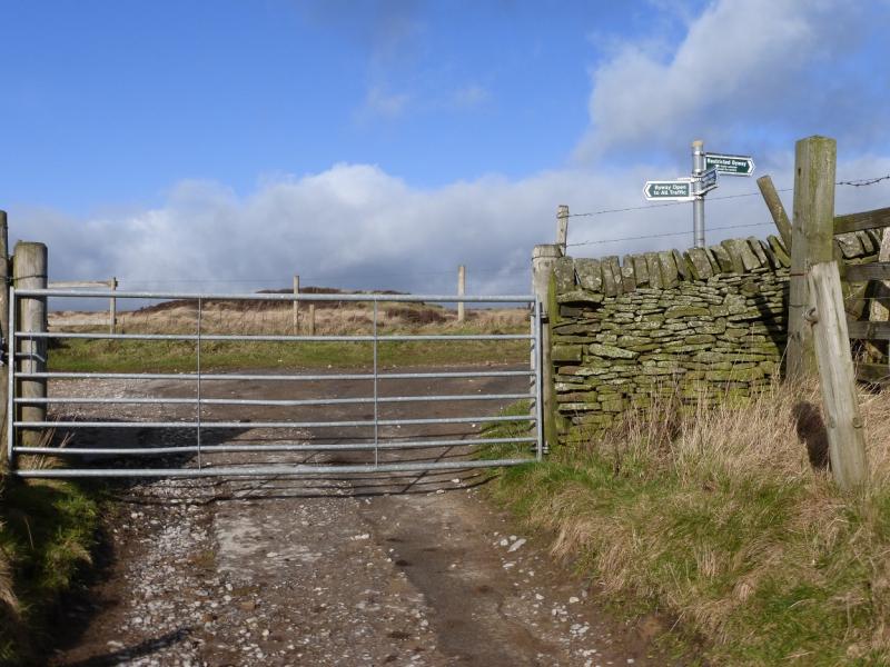
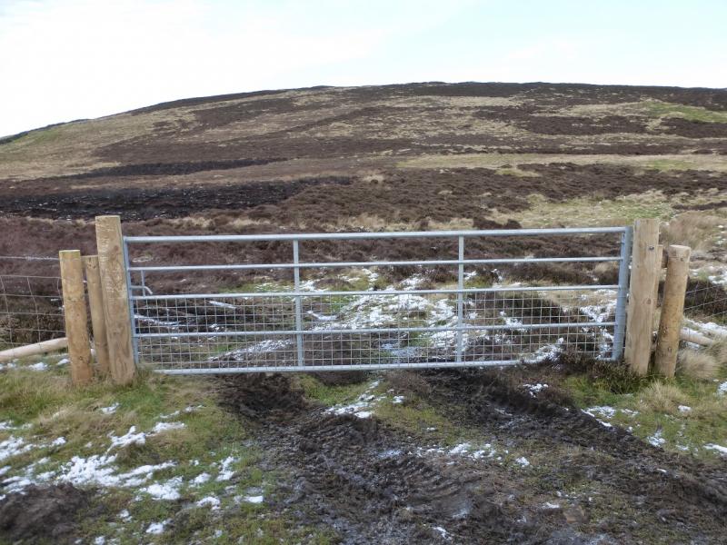
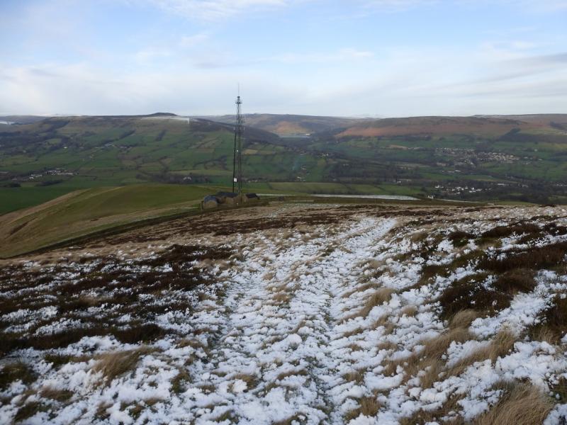
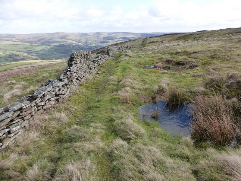
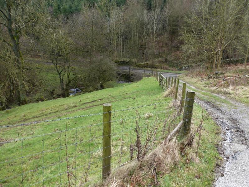
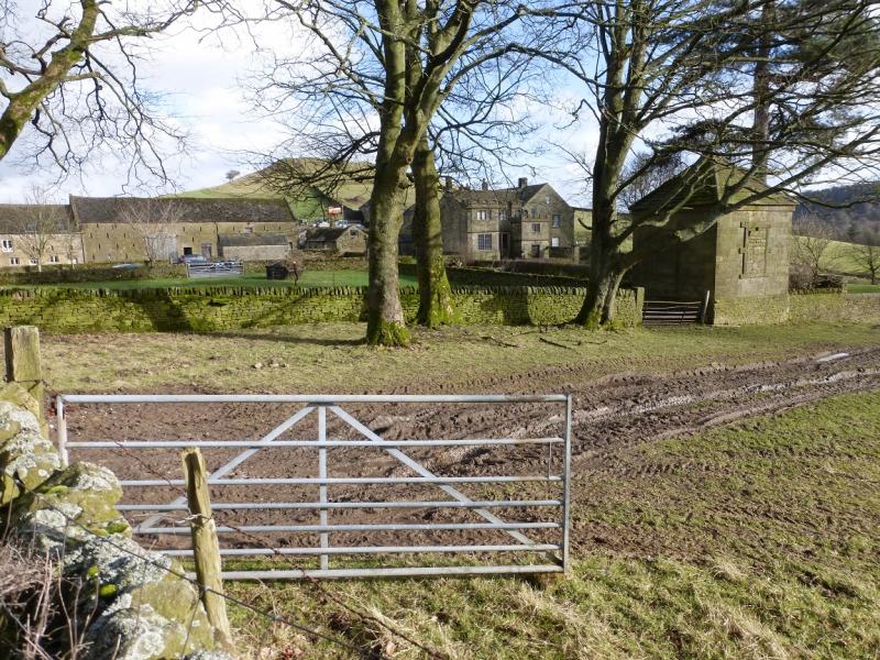
(2) The aerial on Shatton Moor should be visible in clear weather. Look for a gate to get through the wall to the NW then head NE ish to the broken wall. Continue towards the aerial until the descent steepens then walk along Shatton Edge keeping the steeper ground on your left. Eventually, after about 2 km, cross the obvious path from Offerton Hall and Abney. Keep going but any path will become fainter but the ground is not too rough. Reach a wall and follow it SSE to a gate just before a corner. Go through the gate then follow the wall down the side of Dunge Wood to reach the very minor road at the bottom via a gate. Turn right on to the road and follow it to the Abney road by Highlow Hall. To stay on official rights of way, turn left at Wolf's Pit and follow Shatton Lane round to the aerial where the track becomes a road. Follow this to a right angle bend where a bridleway goes off E. Follow this to Offerton Hall then round to the very minor road below Dunge Wood.
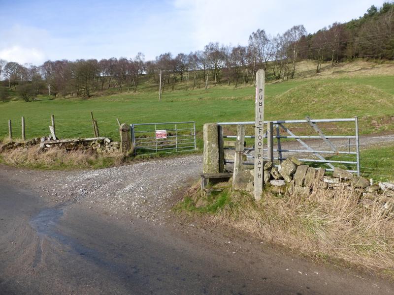
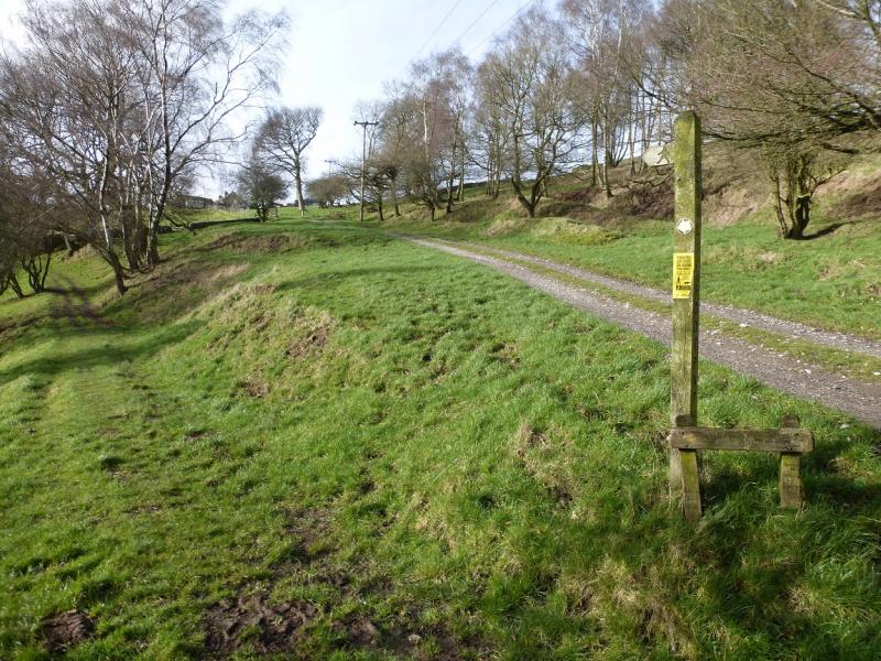
(3) Turn right on to the Abney road, SW, and follow it for about 1 km until just out of Oaks Wood. Almost immediately is a footpath sign. Follow the track until the footpath forks off left. Follow the footpath which rejoins the road less than 1 km from Abney.
Notes
(a) This walk took place on 7th February, 2016.
Photos - Hover over photo for caption. Click on to enlarge. Click on again to reduce.