Get Lost Mountaineering
You are here: England » Peak District » Black Hill, Lad's Leap, Laddow, Longdendale, Ravenstones & Dovestone Reservoir
Black Hill Circuit from Standedge Car Park on A62
Black Hill Circuit from Standedge Car Park on A62
Start/Finish
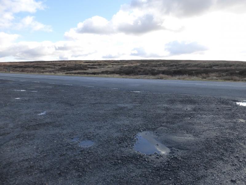
On the A62 Oldham to Huddersfield road at SE 020 095 about 8 miles east of Oldham. There are prominent signs saying the Pennine Way is crossing the A62 at this point. There is a reasonably sized car park which is free.
Distance/Time
19 km About 5 – 6 hours
Peaks
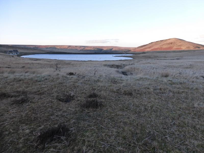
Black Hill, 582 m, SE 078 046.
OS Outdoor Leisure 1: Dark Peak. OS 1 : 50 000, Sheet 110, Sheffield
Introduction
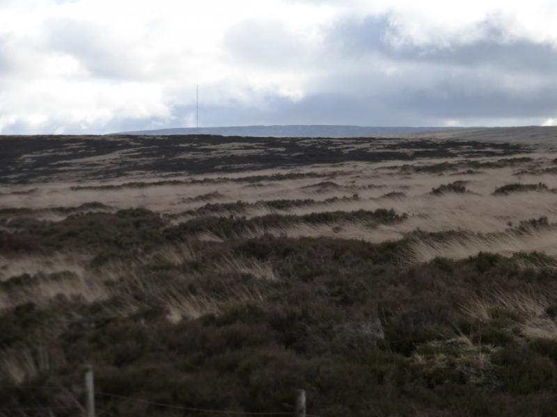
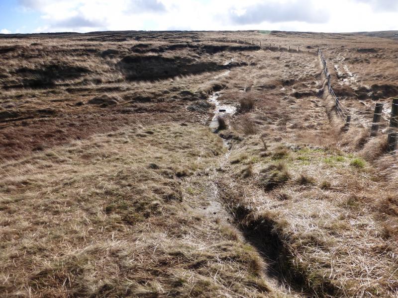
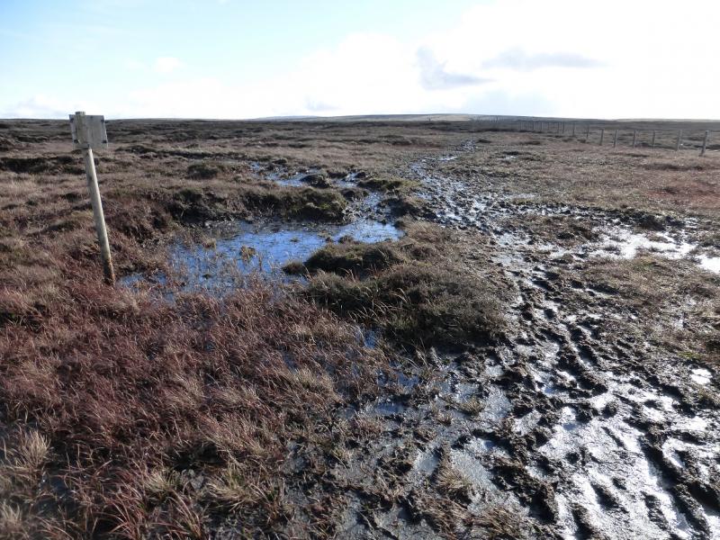
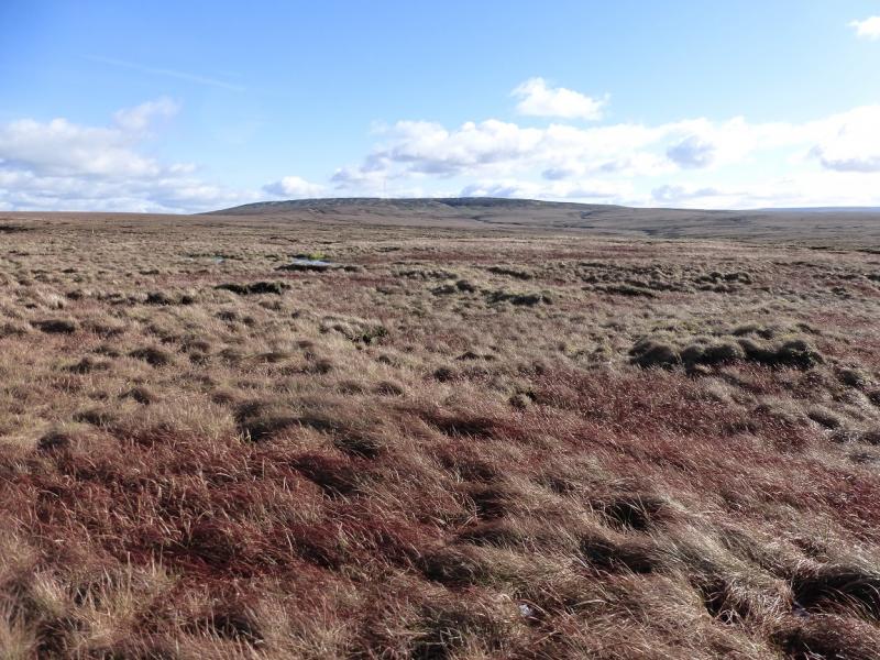
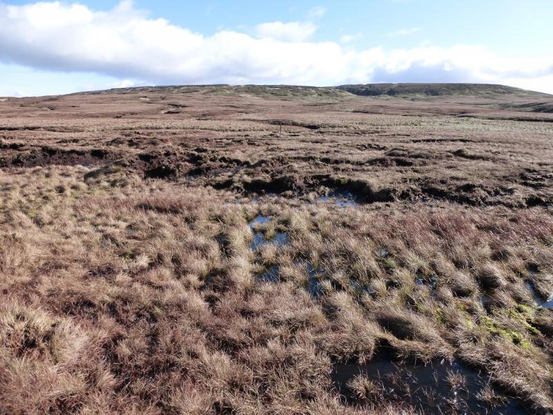
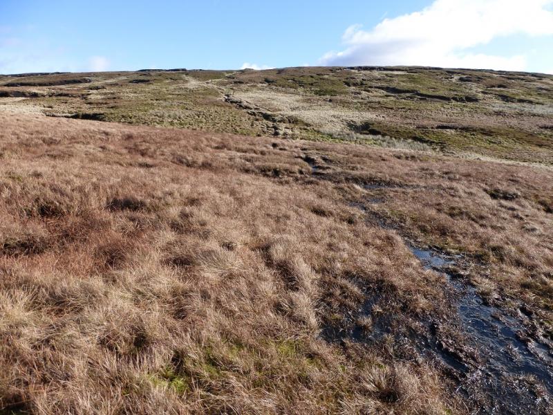
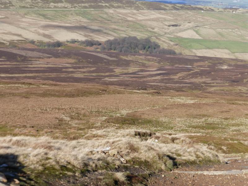
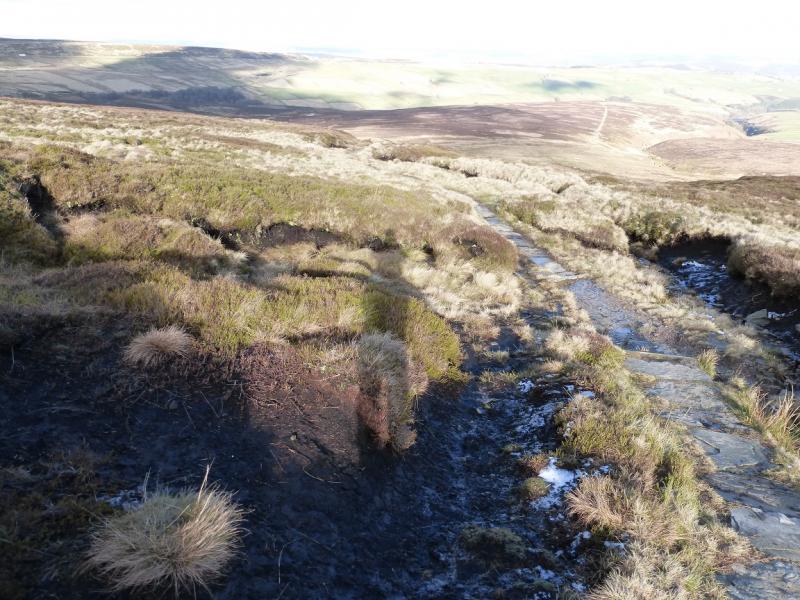
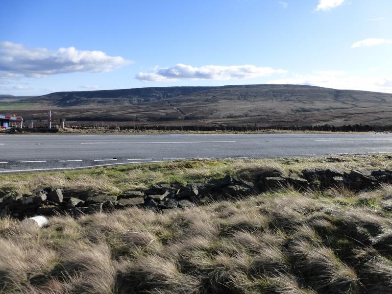
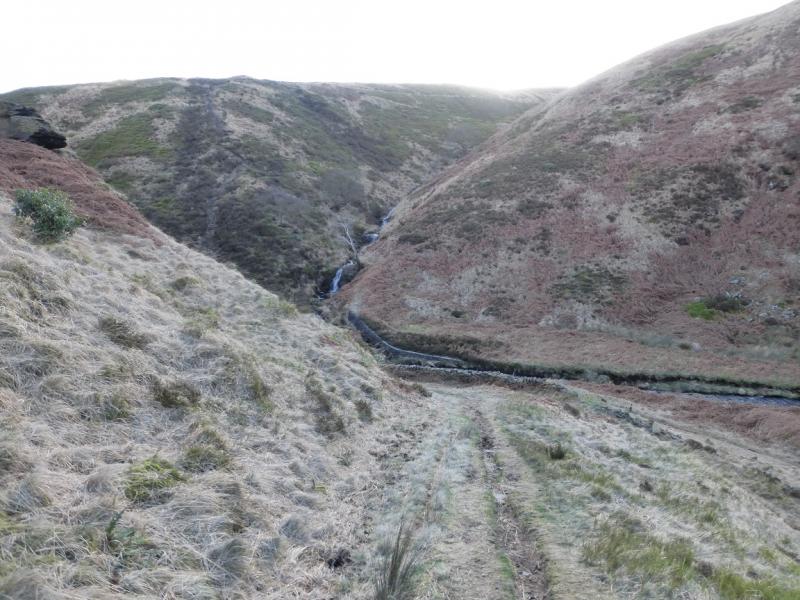
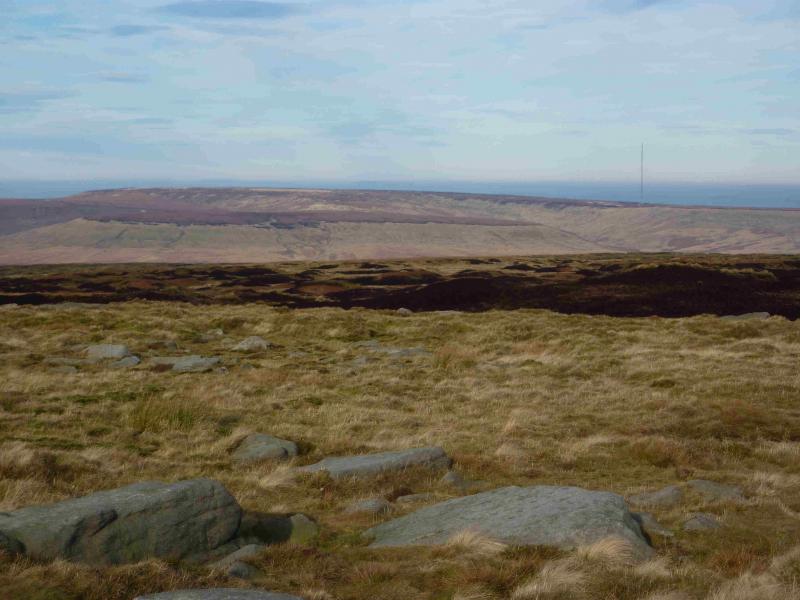
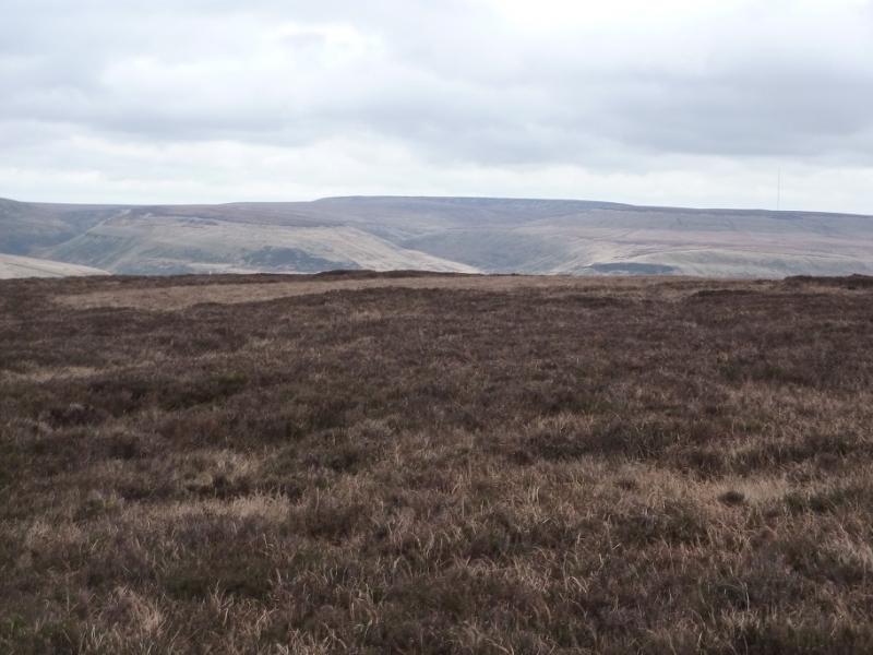
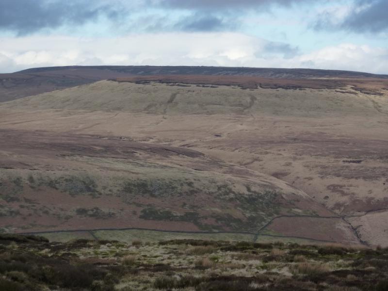
This is a fine but tough walk. The ascent to Black Hill uses the old Pennine Way which can be boggy in places but not horrendous although numerous short detours will be required around the worst areas especially after the Saddleworth Moor road is crossed. The return is by the new Pennine Way; it is better underfoot but longer and involves more re-ascent than one might expect. There are good moorland views including to Bleaklow to the south. On the descent from Black Hill, there is a river crossing in Dean Clough which, surprisingly, has no bridge and may be tricky in wet or wintry conditions leading to a detour upstream. A lesser clough is crossed just after this which can also be tricky. Because of the featureless nature of the terrain, particularly between the Saddleworth Moor road and the foot of Black Hill, it is strongly recommended that this walk only be attempted in clear visibility.
Route
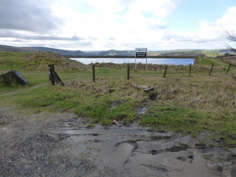
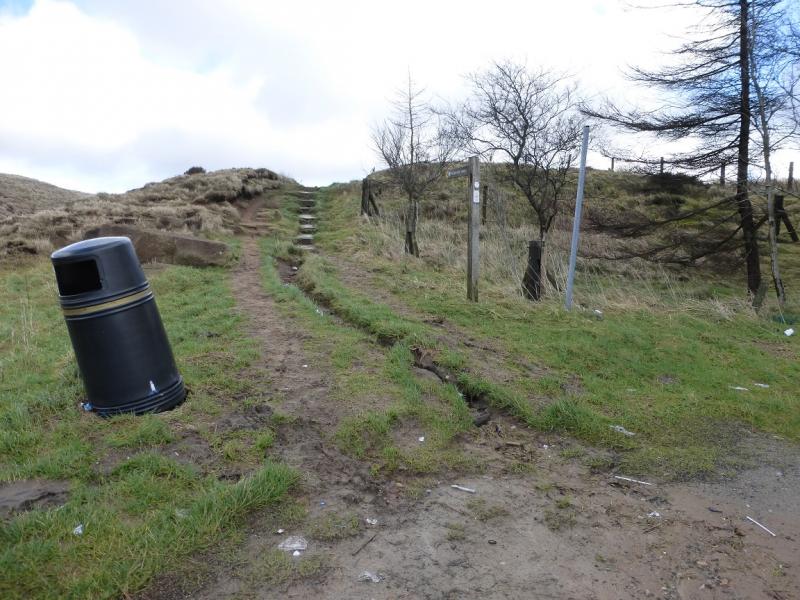
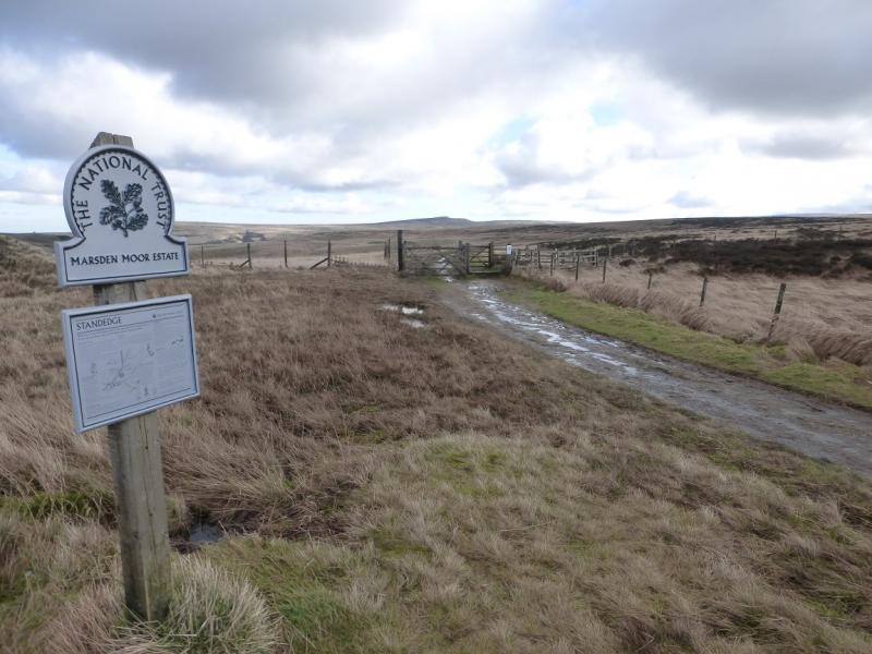
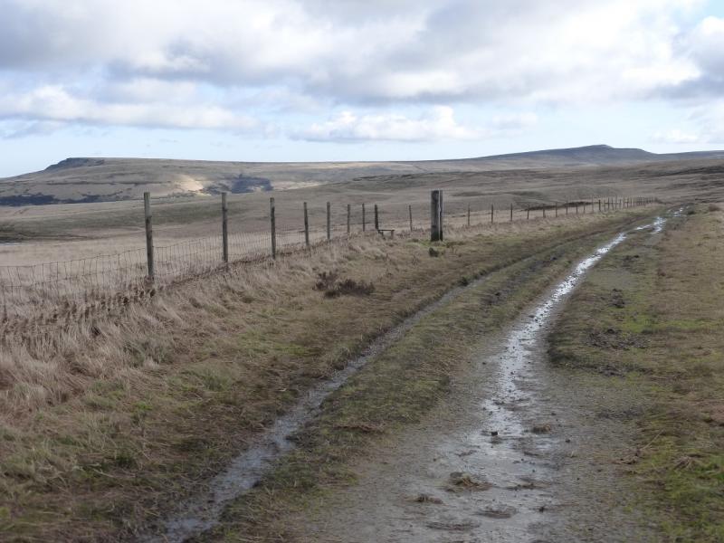
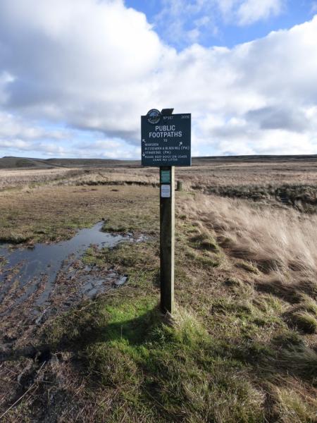
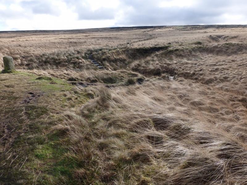
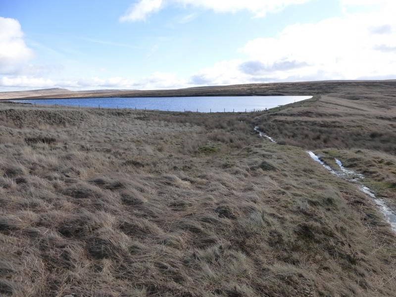
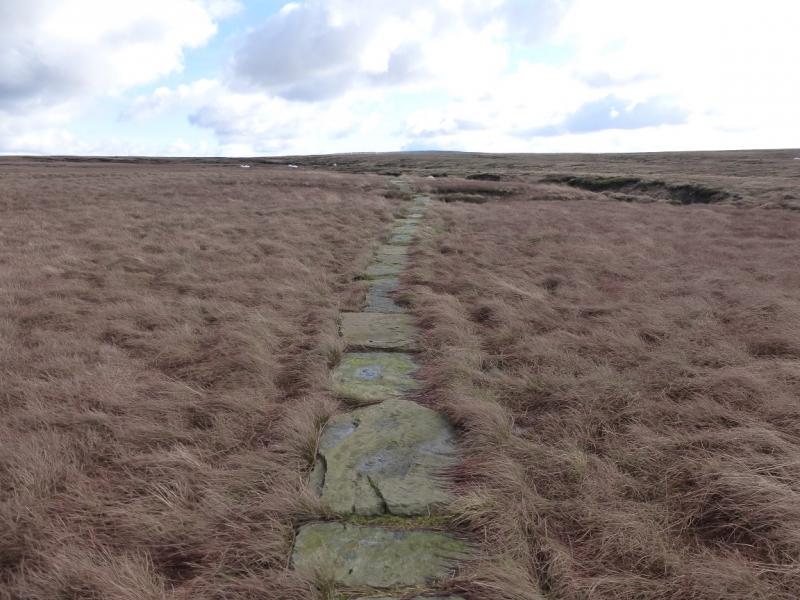
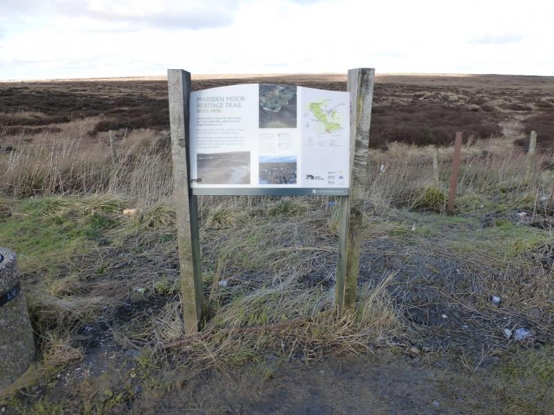
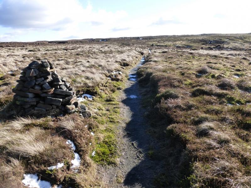
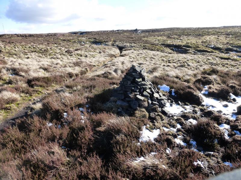
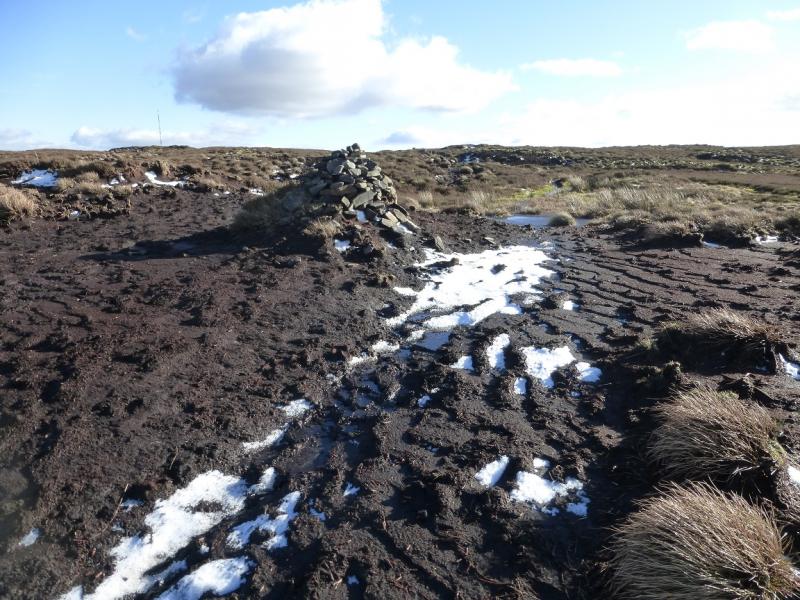
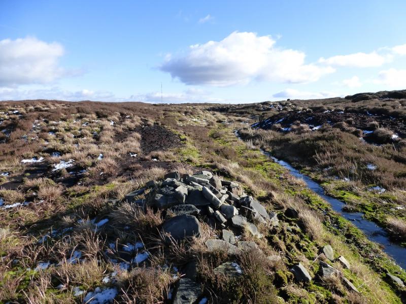
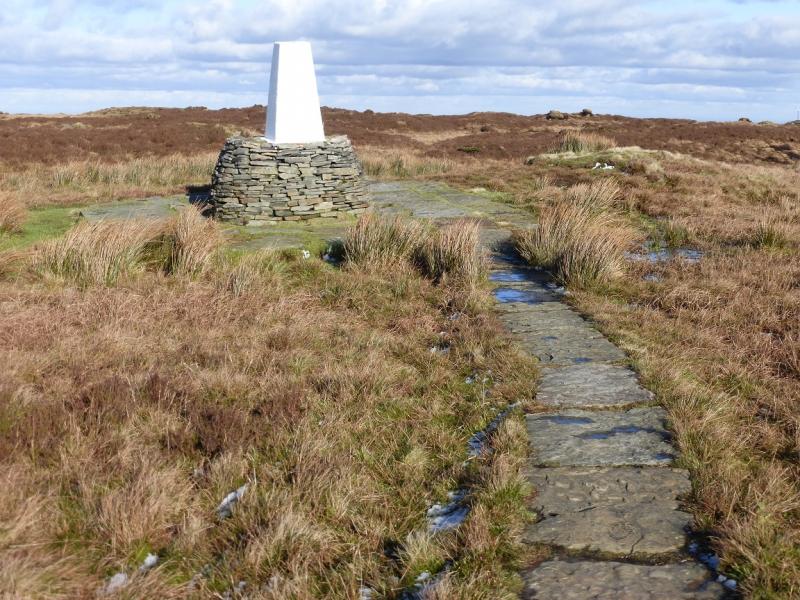
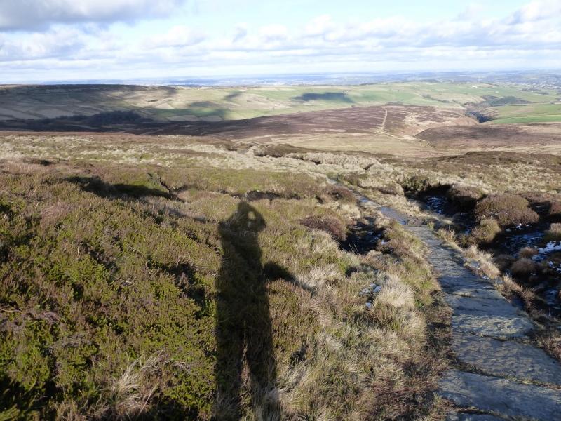
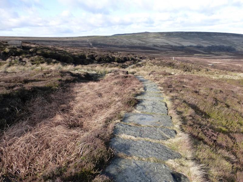
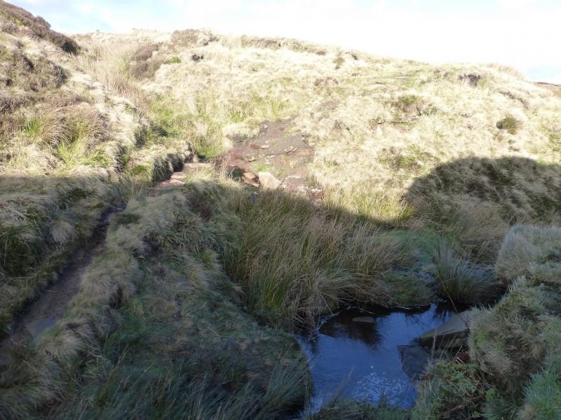
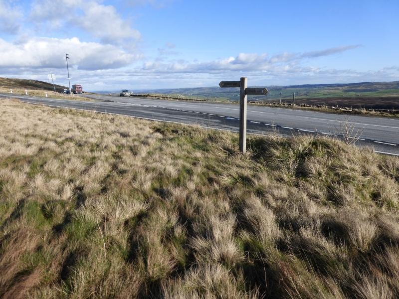
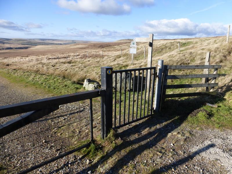
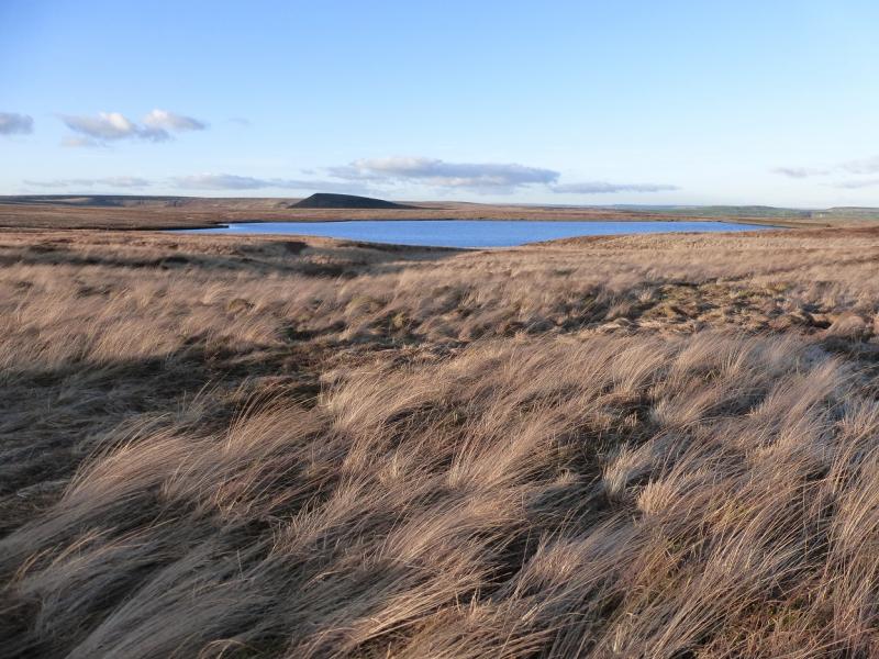
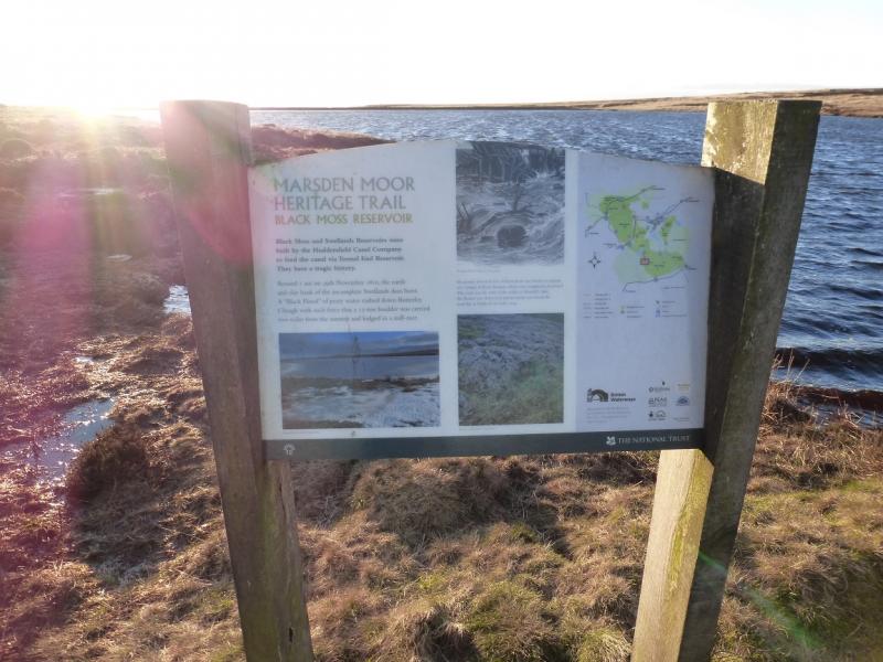
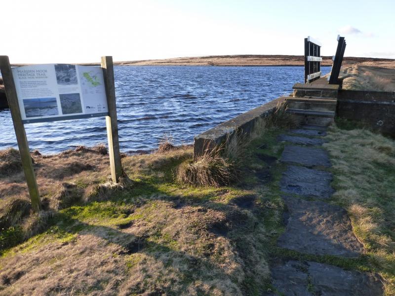
(1) From the Standedge car park, follow the Pennine Way path which initially shadows the A 62. Follow this to reach the NW corner of Black Moss Reservoir where the new Pennine Way goes left but this route, on the old Pennine Way, goes straight ahead, heading SE along the edge of the reservoir. It then continues, generally SSE, across Black Moss then SE across White Moss. Much of this is a gradual ascent and much of the path is slabbed. Eventually emerge at a rough car park on the A 636 Saddleworth Moor road where there is an information board. Walk E along the road, for a short distance, until an iron gate is reached which gives access to an old, shallow quarry. The path can be difficult to follow but generally heads SE. In clear weather, one can aim for the Holme Moss aerial which lies behind Black Hill. There are a few marker posts across the featureless moorland. In places, short detours will be needed to avoid very wet and boggy areas. Progress will be slow but eventually, the foot of Black Hill is reached where an obvious path leads up a gentle slope. At a short wall, the path splits. Follow the right fork; the path passes four cairns before reaching the tilted white trig point which marks the summit of Black Hill, 582 m. The ground just before the trig point can be very wet and boggy but is easily avoided.
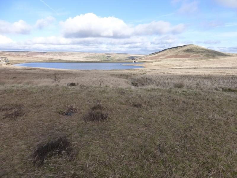
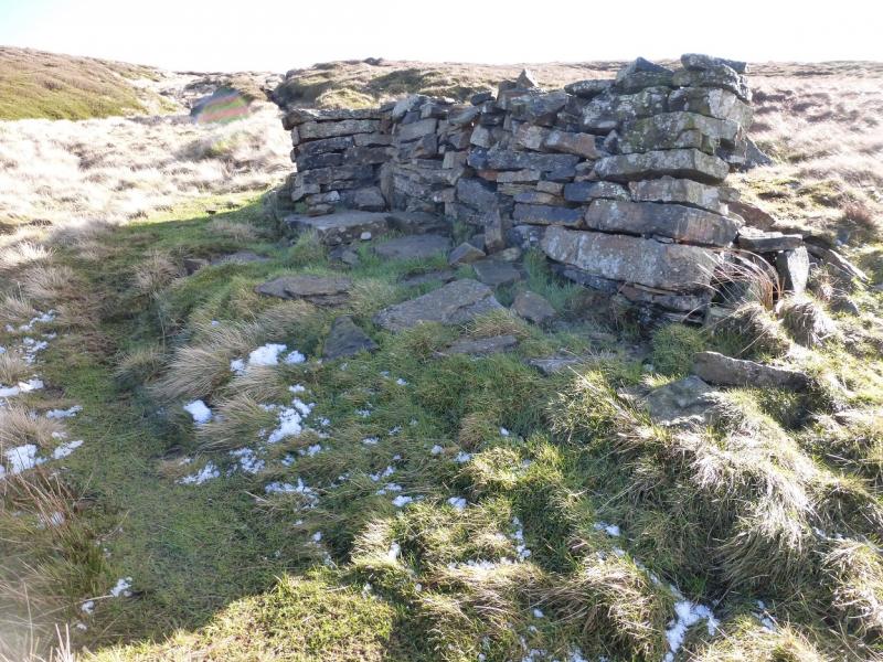
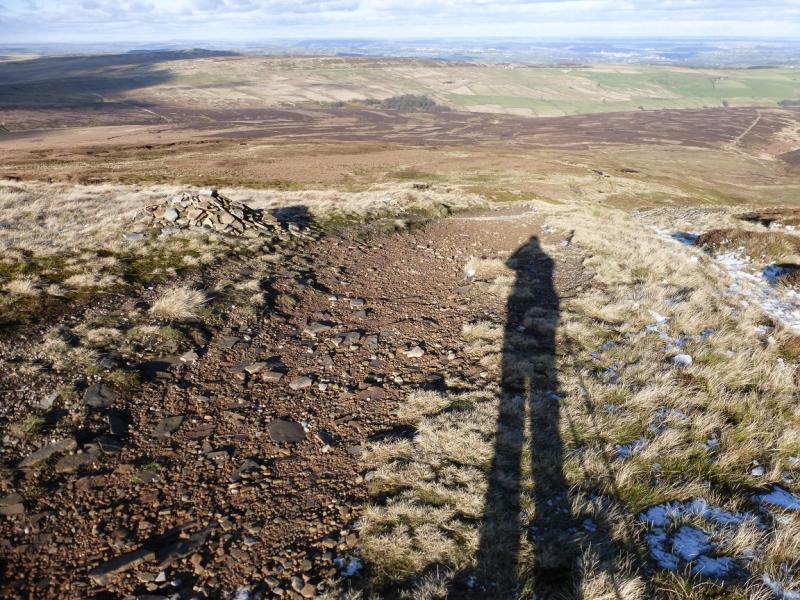
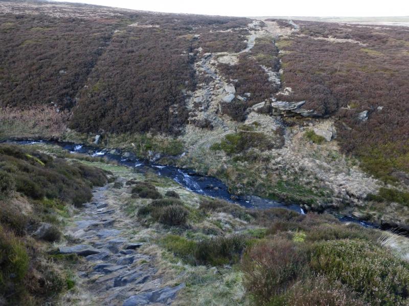
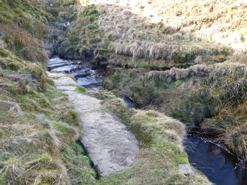
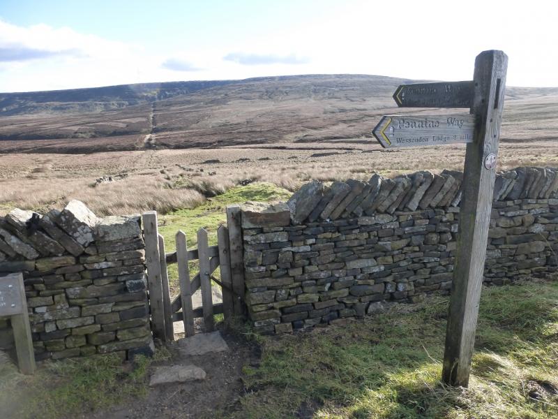
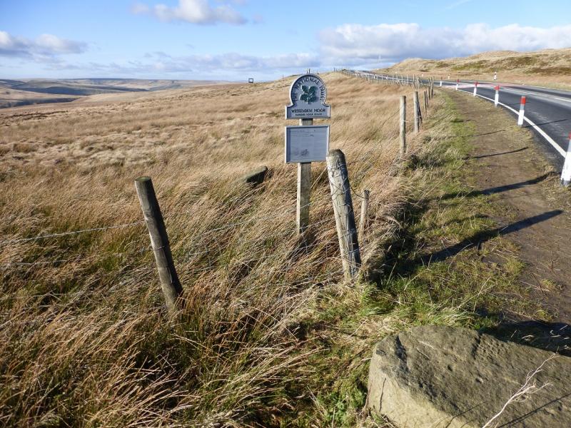
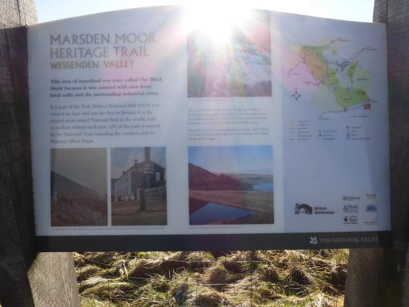
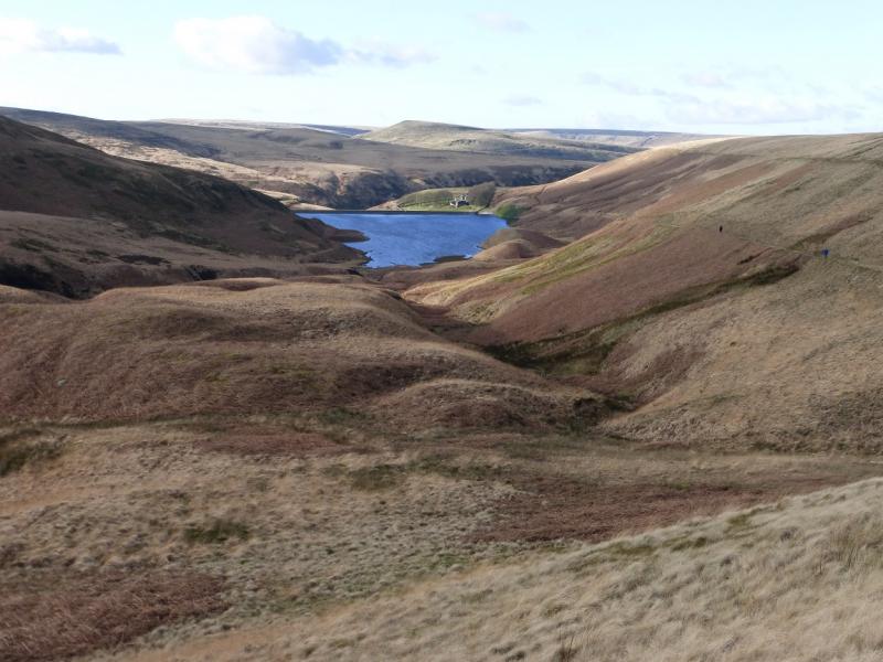
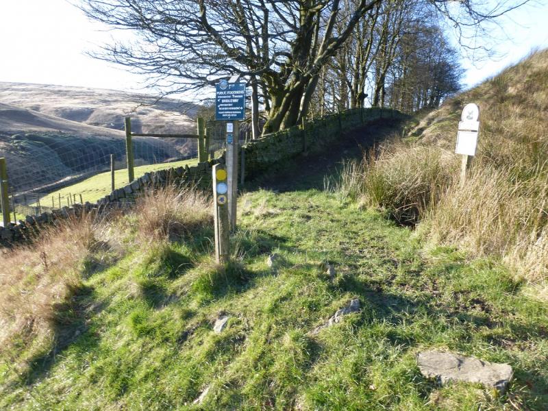
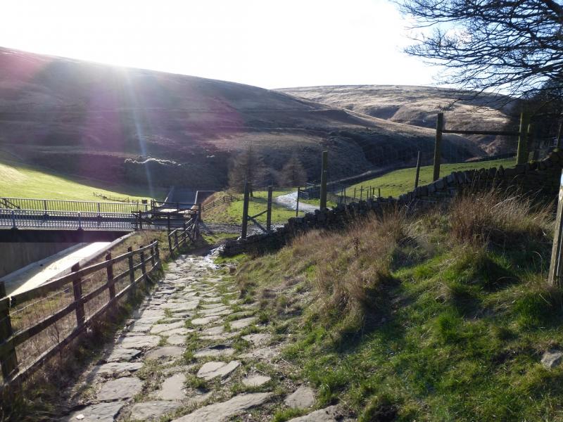
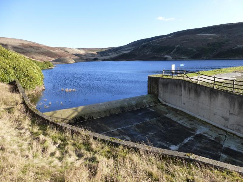
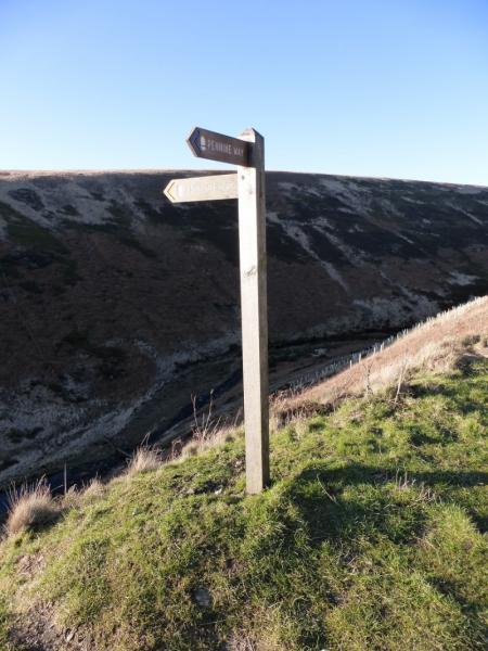
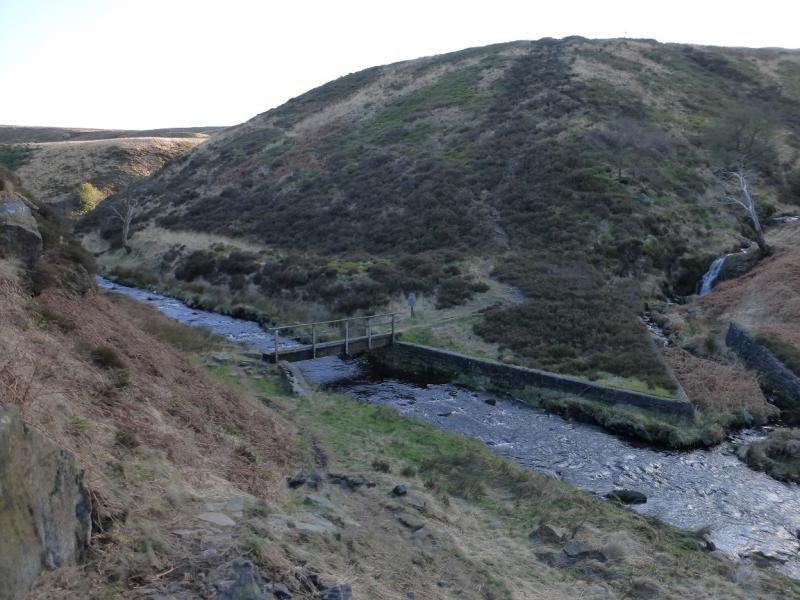
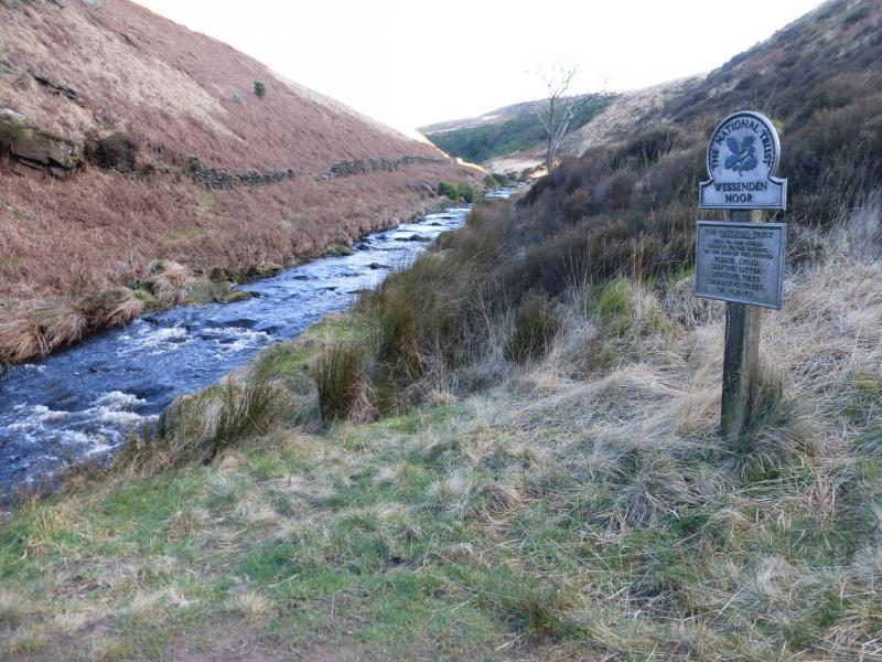
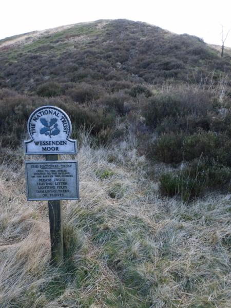
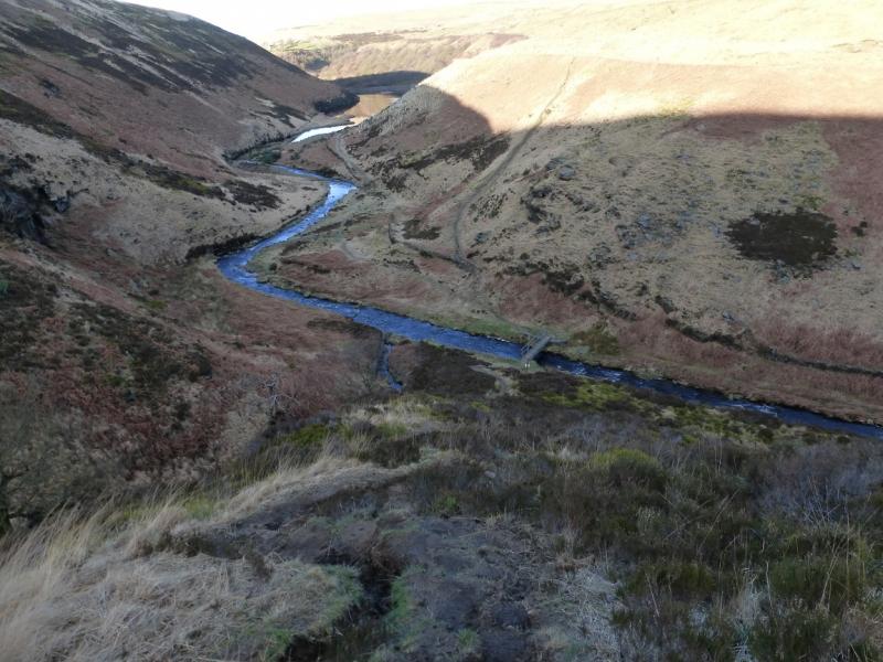
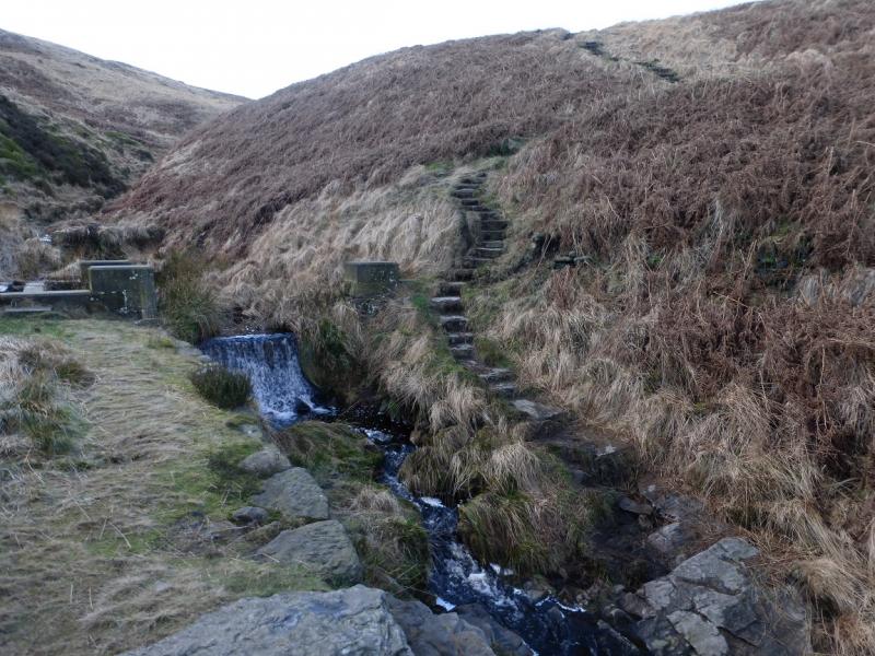
(2) From the trig point, follow the slabbed path NNE descending gentle slopes. In winter, be careful on slabs in the shade as they may be slippery owing to ice forming on them. Lower down, the path turns NNW and descends into Dean Clough. In very wet weather, the crossing will be difficult as there is no bridge and one may have to detour upstream. Not much further is a minor clough which can also be tricky in wet weather. Soon after, reach the A635 Saddleworth Moor road. Walk E a short distance then take the minor road forking left. Follow this for about 300 m to where the Oennine Way leaves the road. Follow the track to Wessenden Head Reservoir then NW to Wessenden Reservoir after which the path drops down to the left to Wessenden before following a track downstream (towards Marsden). After about another 400 m, a sign post indicates that the Pennine Way descends into the deep clough (not named on the maps) on the left. Cross the river by the bridge then ascend the steep path to a small structure. Turn right on to a grassy track and follow this up the side of Blakely Clough which is crossed higher up. There is then a long, gradual but tedious trudge up and over Wessenden Moor with many false “tops”. Eventually, one passes Swellands Reservoir then reaches the SE corner of Black Moss Reservoir where there is an information board. Walk around the E and N sides of the reservoir to rejoin the outward route which is followed back to the car park
Notes
(a) This walk took place on 10th February, 2016.
Photos - Hover over photo for caption. Click on to enlarge. Click on again to reduce.
.jpg)
.jpg)
.jpg)
.jpg)
.jpg)
.jpg)


.jpg)