Get Lost Mountaineering
You are here: England » Peak District » Kinder, Winhill, Castleton, Mam Tor, Rushup Edge, Brown Knoll & South Head from Ladybower/Bamford to Chapel-en-le-Frith Road
Brown Knoll via South Ridge from Rushup Edge Road
Brown Knoll via South Ridge from Rushup Edge Road
Start/Finish
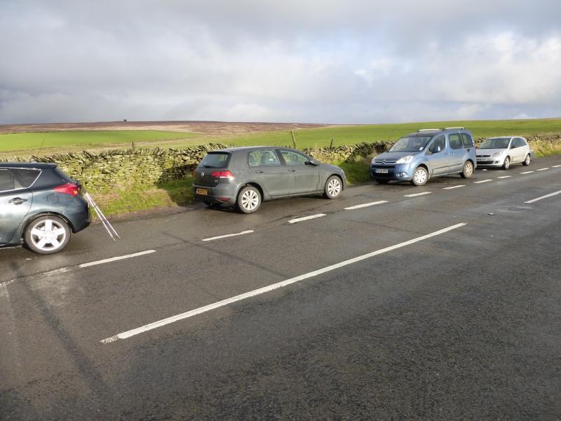
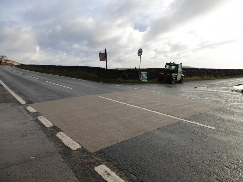
Layby (holds about 8 cars) on the A623 road from Chapel-en-le-Frith to Castleton. This is about 1½ miles from the A6 at Chapel-en-le-Frith and is almost oposite the minor road to Rushup Hall and Perryfoot. Snow can close this road in winter conditions.
Distance/Time
9 km About 3 hours
Peaks
Brown Knoll, 569 m, SK 083 851.
OS Outdoor Leisure 1: Dark Peak. OS 110 (1:50 000).
Introduction
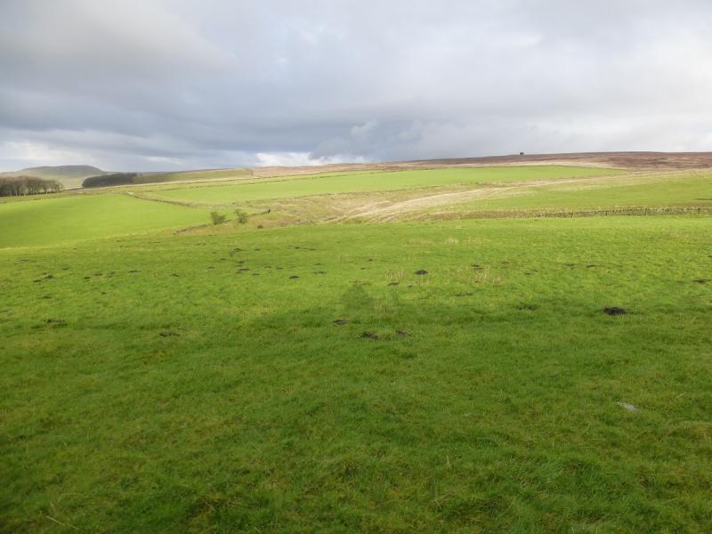
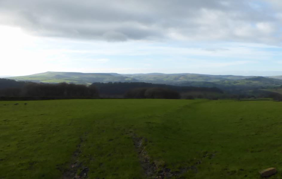
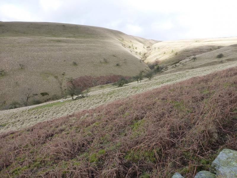
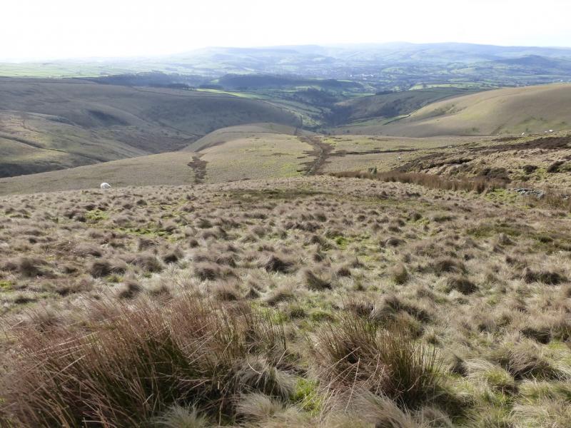
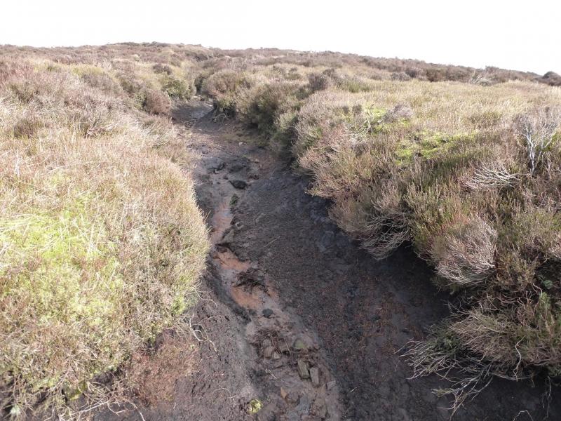
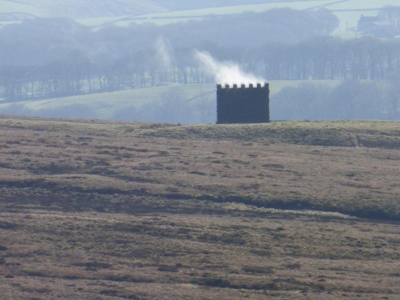
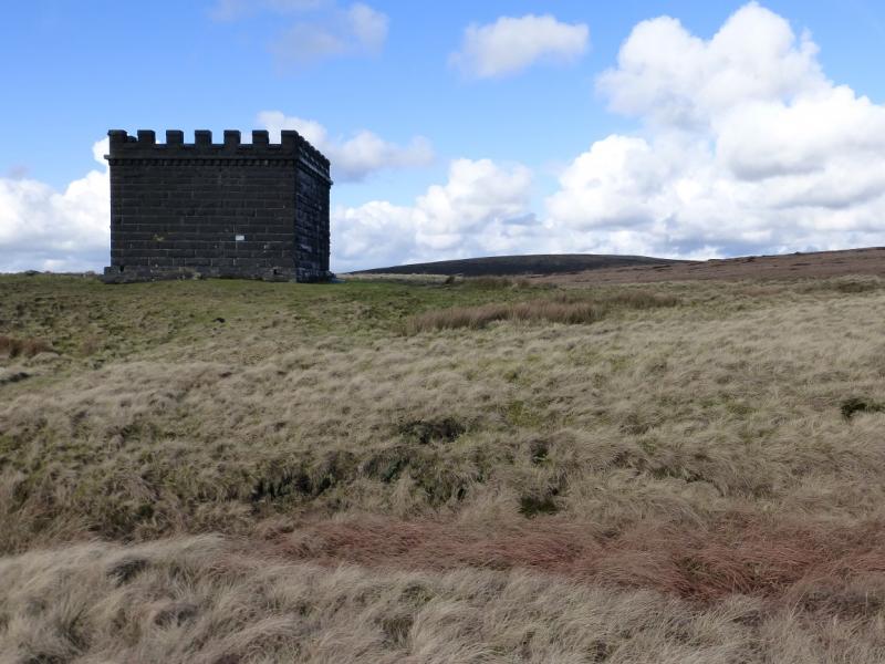
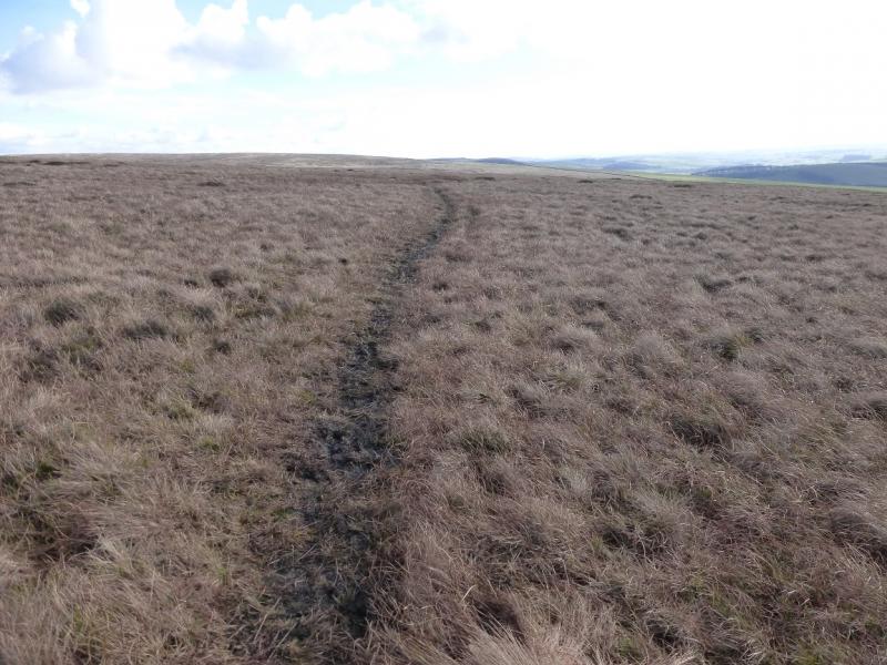
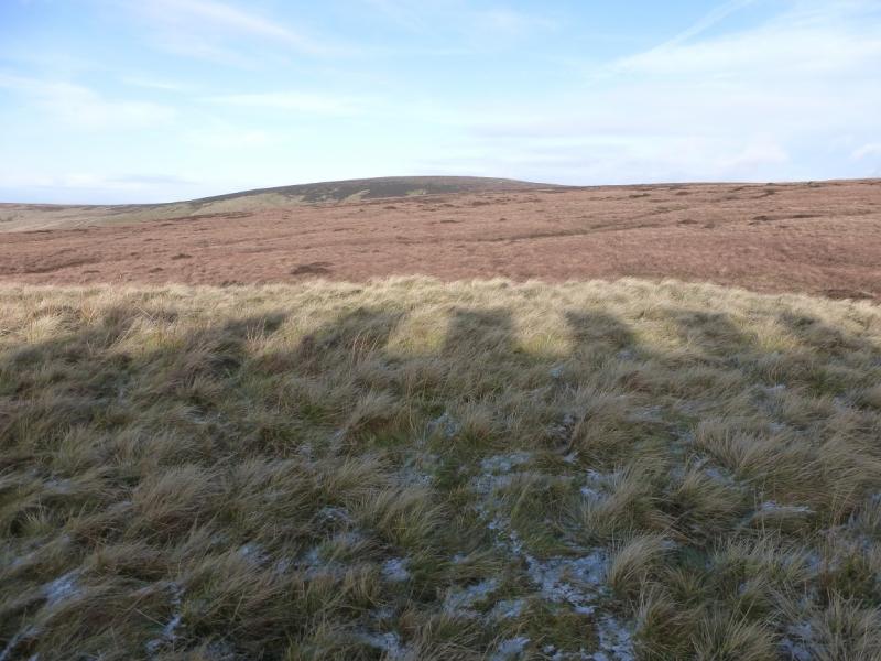
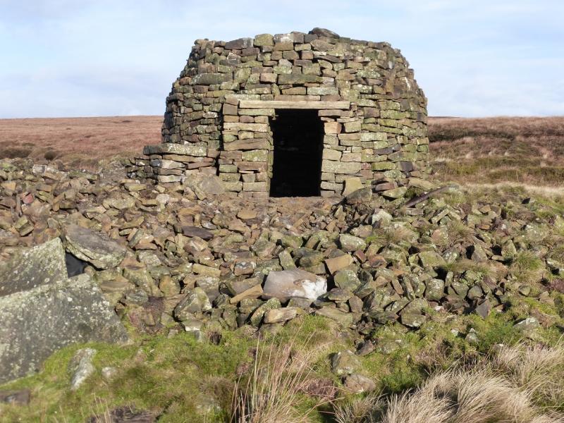
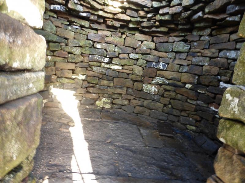
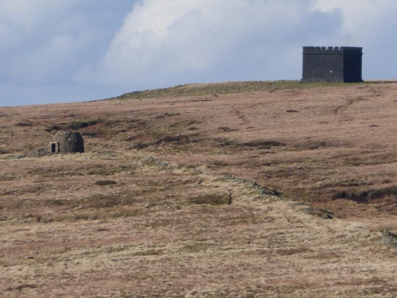
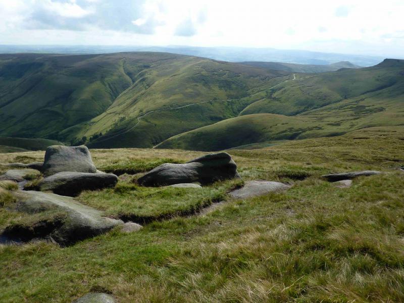
This is a short and pleasant walk. Brown Knoll is one of the most boggy parts of the Peak District but this route avoids almost all of the boggy ground apart from that very close to the summit. The path is worst between Rushup Edge and Brown Knoll but this seems to be earmarked for slabbing in the near future. On a clear day, there are excellent views across Edale to Kinder, to Chinley Churn and even to Shining Tor and Cats Tor. The route down from Brown Knoll passes the Cowburn (railway) Tunnel airshaft which looks like a small castle and a stone “igloo” which is good to shelter inside.
Route
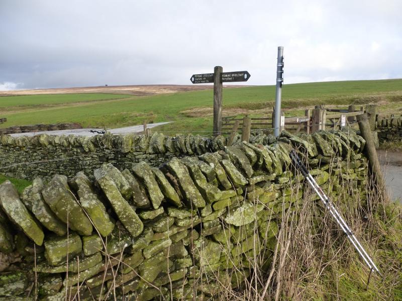
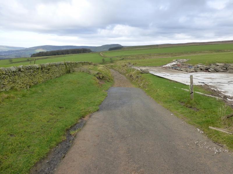
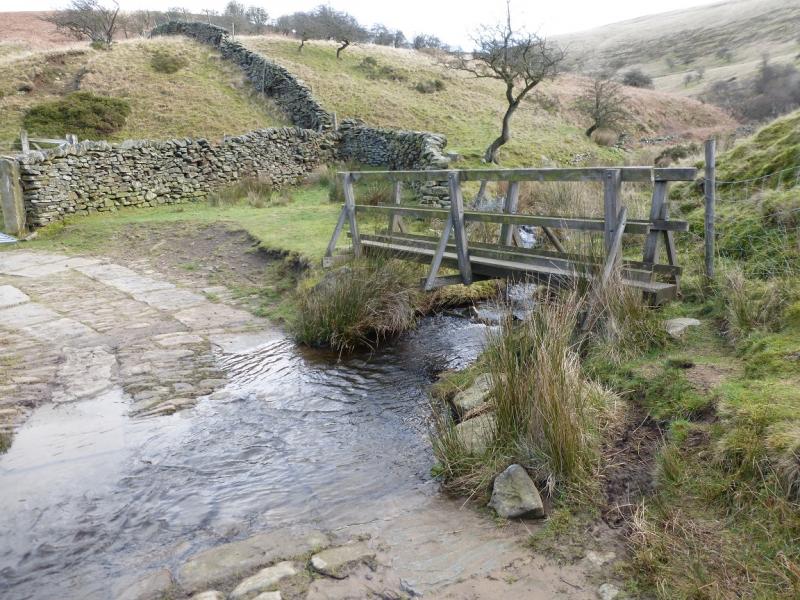
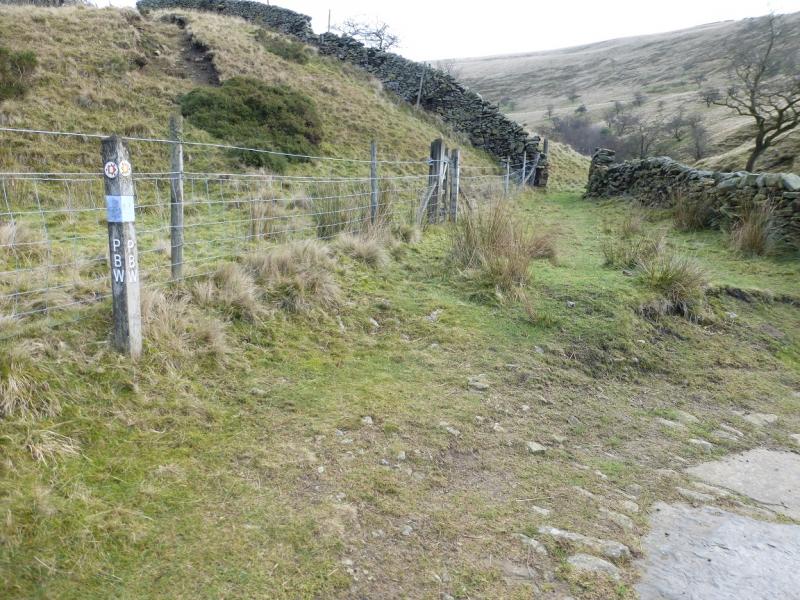
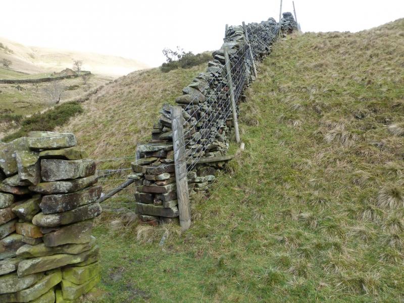
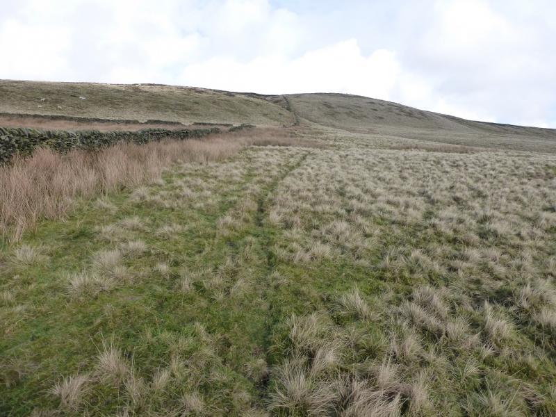
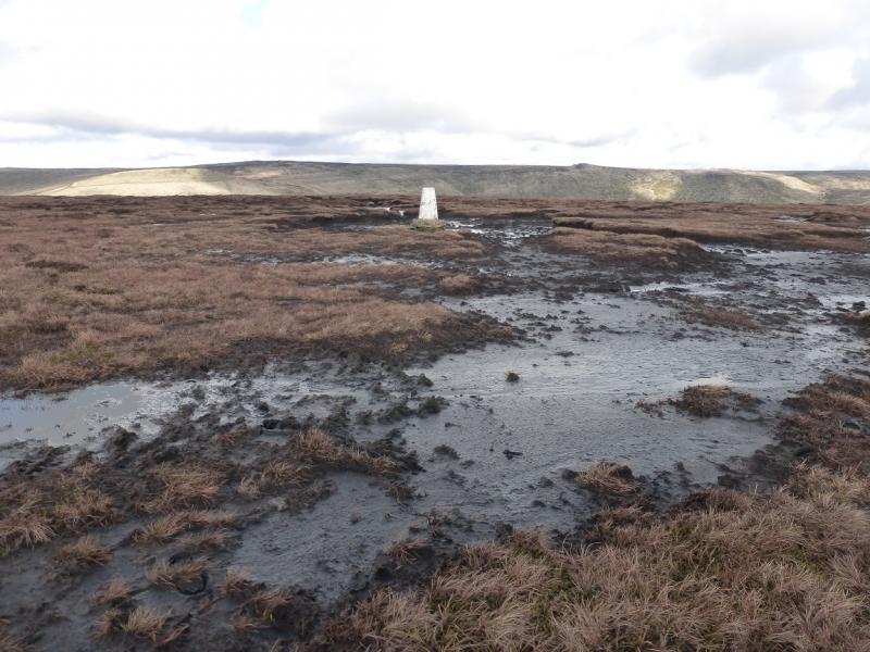
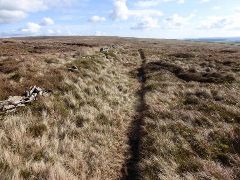
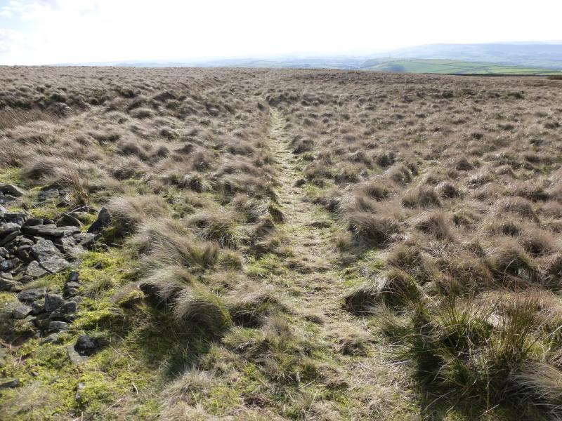
(1) Go left through the gate at the top of the lay by and take the track heading NW towards South Head. Much of this is a gradual descent until Roych Clough is crossed by a ford or a small bridge. The bridleway goes left here but this route goes right, through a hole in a wall then follows the same wall up the S ridge of Brown Knoll. There is a path much of the way. Higher up the wall turns right then fizzles out. From here, go up a grassy gap in the heather (faint path) then pick a way through the heather above. The trig point is not visible until within about 100 m. One can get to within about 3 m without much difficulty then one needs to tread carefully as the trig point is surrounded by bog. Poles help to locate hidden “stepping stones”. The trig point marks the summit of Brown Knoll, 589 m.
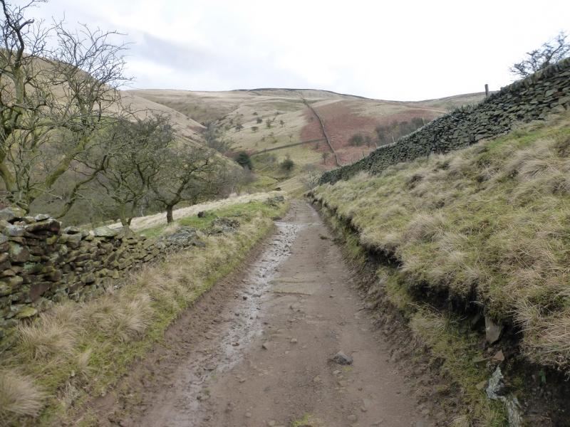
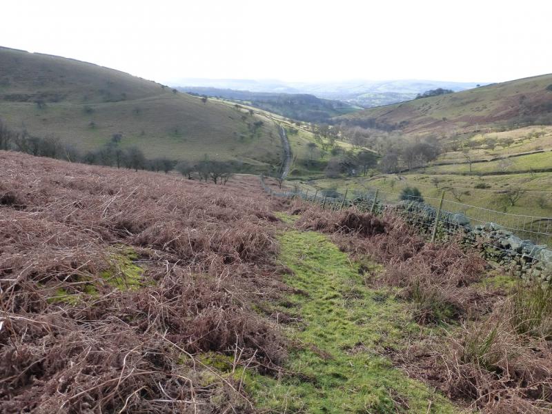
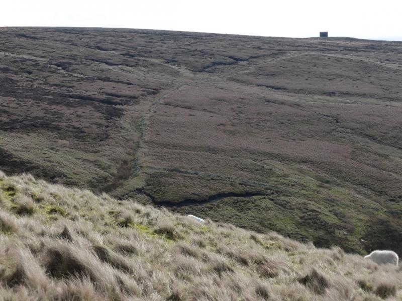
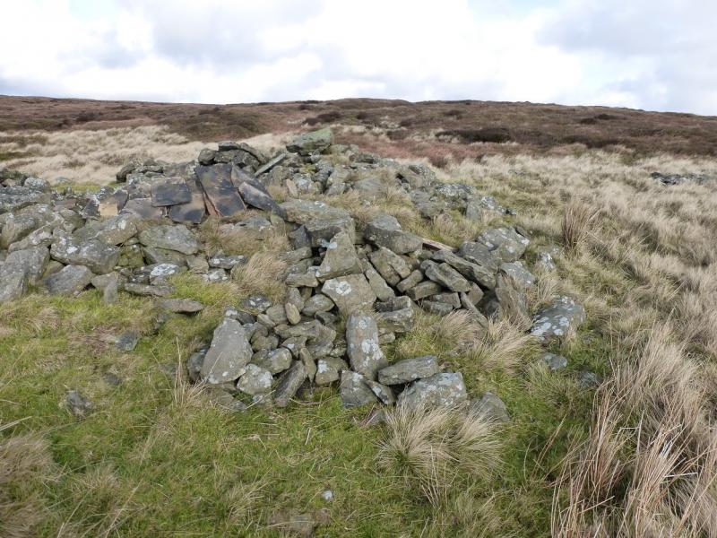
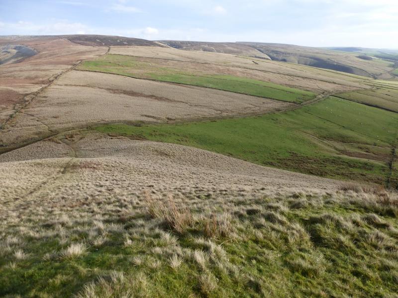
(2) The very boggy path to Rushup Edge descends SSE and is fairly obvious once one leaves the summit area. It is possible to avoid the bog by keeping about 50 m to the right of this path then gradually curving around to the SW to reach the “castle” which is the Cowburn Tunnel airshaft for the railway underneath. From the airshaft, a path goes SE and soon reaches a stone “igloo” which can be entered if one wishes. The path continues by a broken wall. Further on, look for a path going off right. Take this and reach a bridleway by a gate. If this path is missed, one joins the bridleway a little higher up. Follow the bridleway back to the start.
Notes
(a) This walk took place on 11th February, 2016.
Photos - Hover over photo for caption. Click on to enlarge. Click on again to reduce.