Get Lost Mountaineering
You are here: Scotland » 00 Galloway and the Borders » Cheviot and Teviot Hills
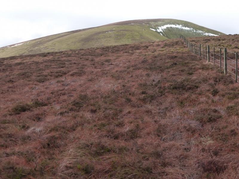
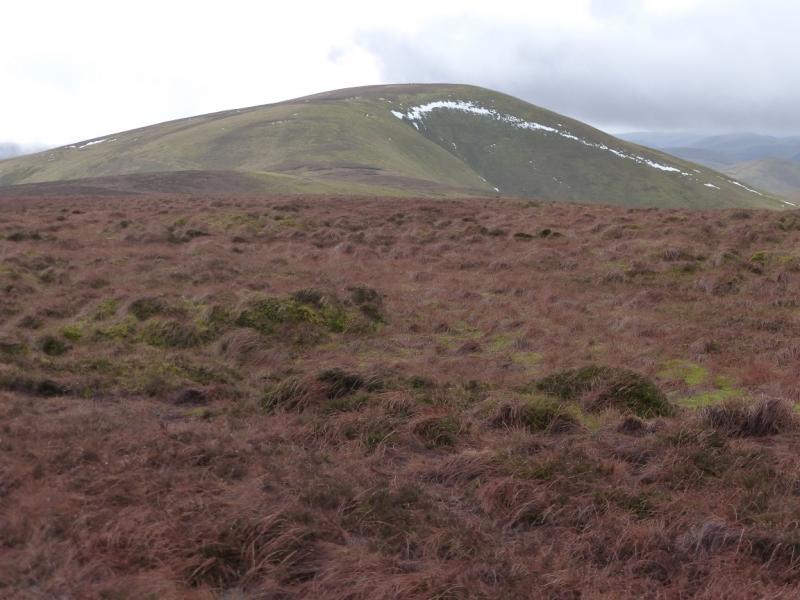
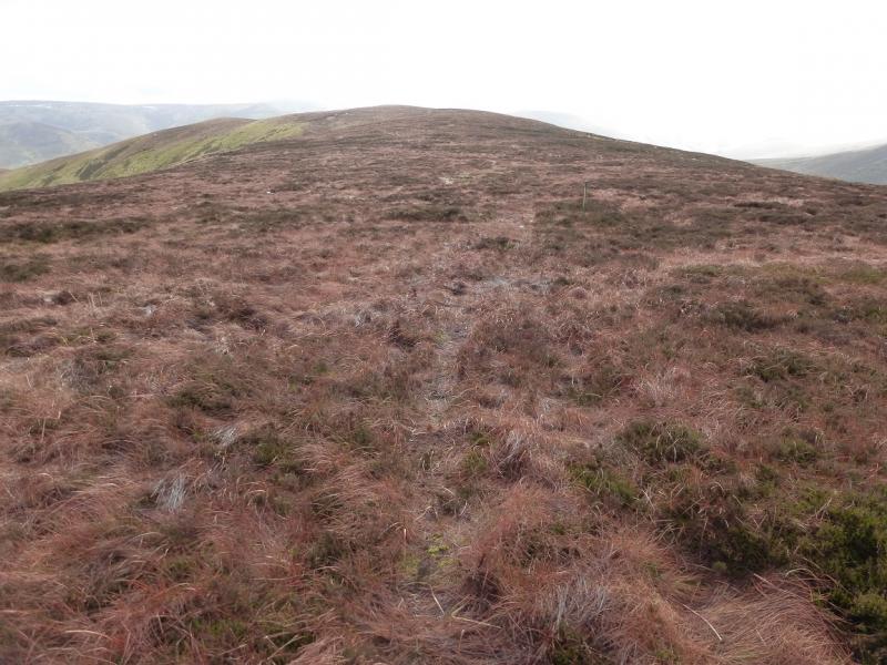
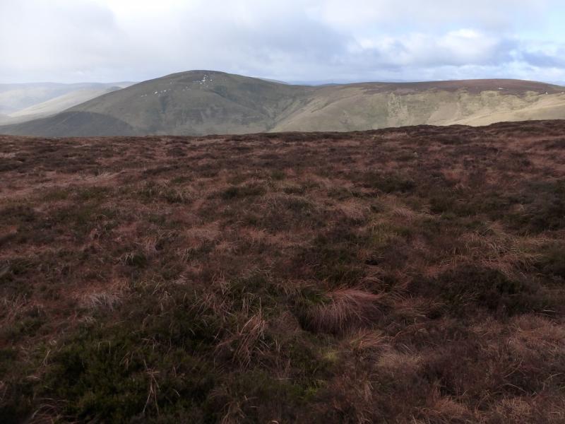
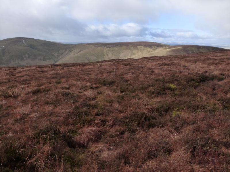
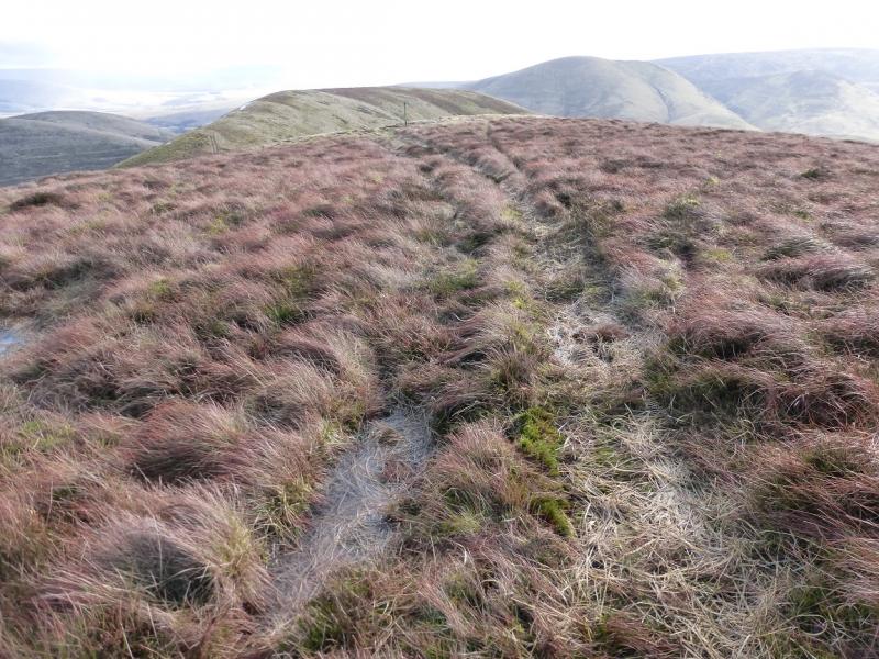
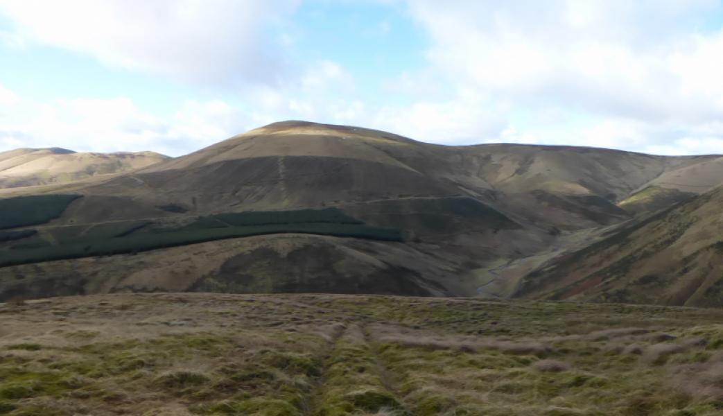
Cauldcleuch Head from near Billhope
Cauldcleuch Head from near Billhope
Start/Finish
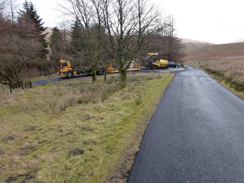
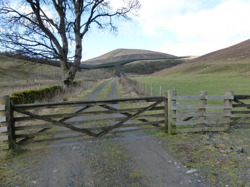
Car park at entrance to obvious large wood between Carewoodrig and Billhope. There is another car park, a disused quarry, about 500 m W towards Carewoodrig. Both Carewoodrig and Billhope lie on the minor road between the A7 and B6399. Both ends are signed for the Hermitage Castle which is actually quite close to the B6399. The wood is about 3 miles from the A7 and about 5 miles from the B6399. This minor road rises to about 320 m just to the west of the wood. In winter conditions, this road may be impassable. It also has exposed sections with unguarded drops.
Distance/Time
10 km About 4 hours
Peaks
Tudhope Hill, 599 m, NY 431 992.
Cauldcleuch Head, 619 m, NT 456 006.
OS 79: Hawick & Eskdale. (The whole route is on this map)
OS Explorer sheet 324: Liddesdale & Kershope Forest.
OS Explorer sheet 331: Teviotdale South/Hawick.
The route is on the top of 324 and the bottom of 331 which is awkward!
Introduction
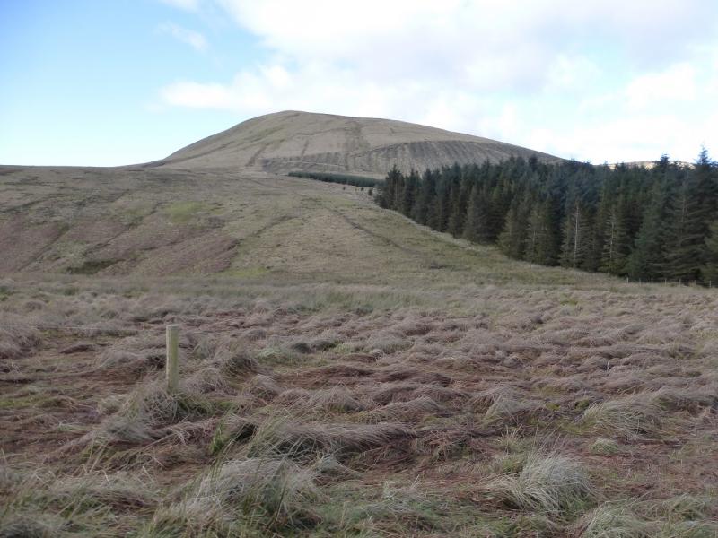
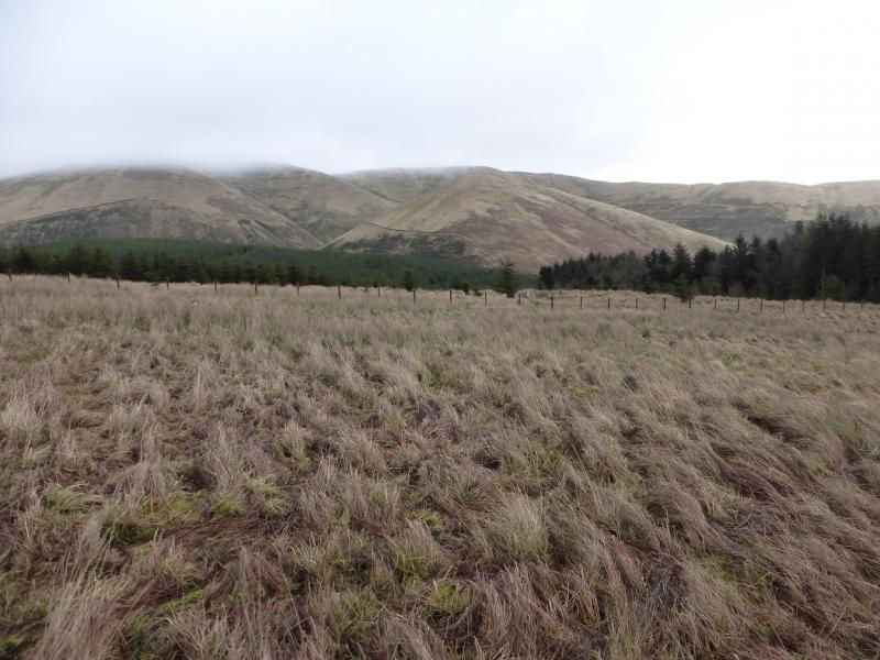
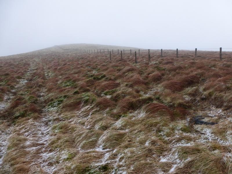
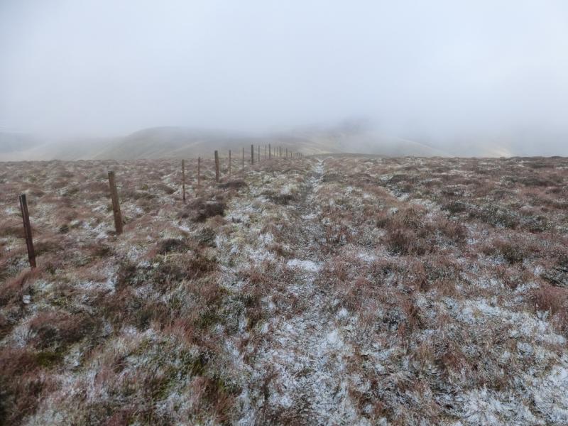
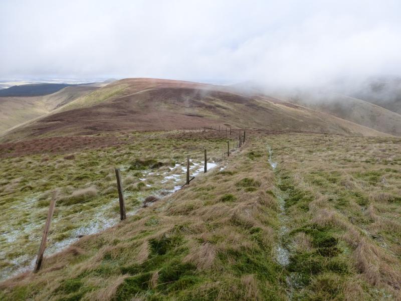
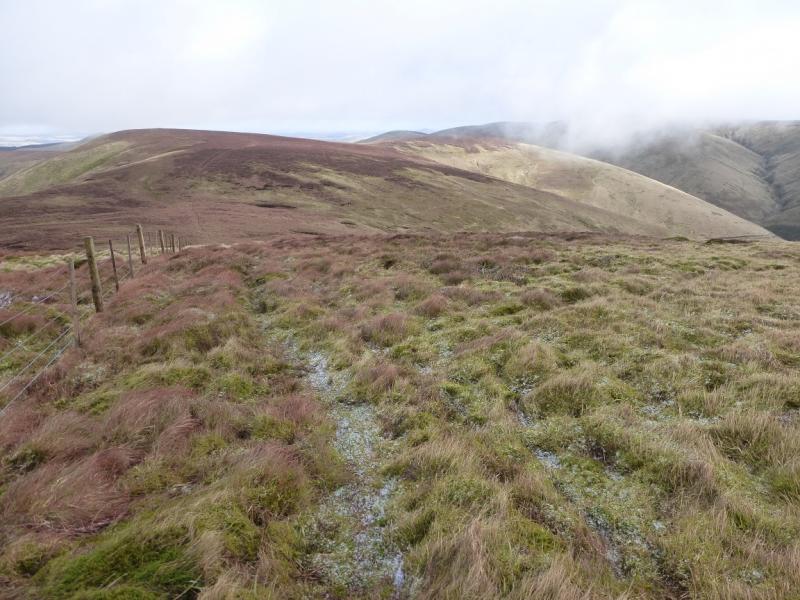
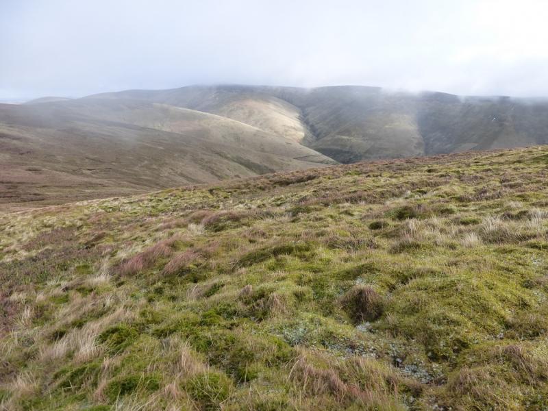
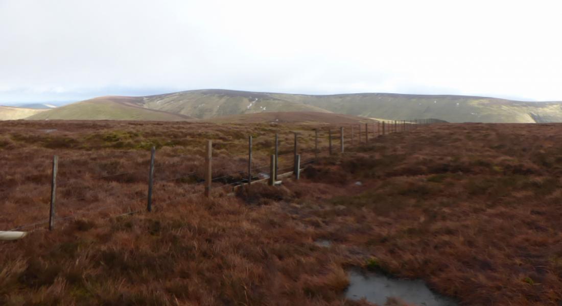
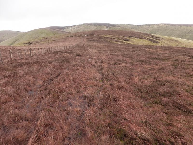
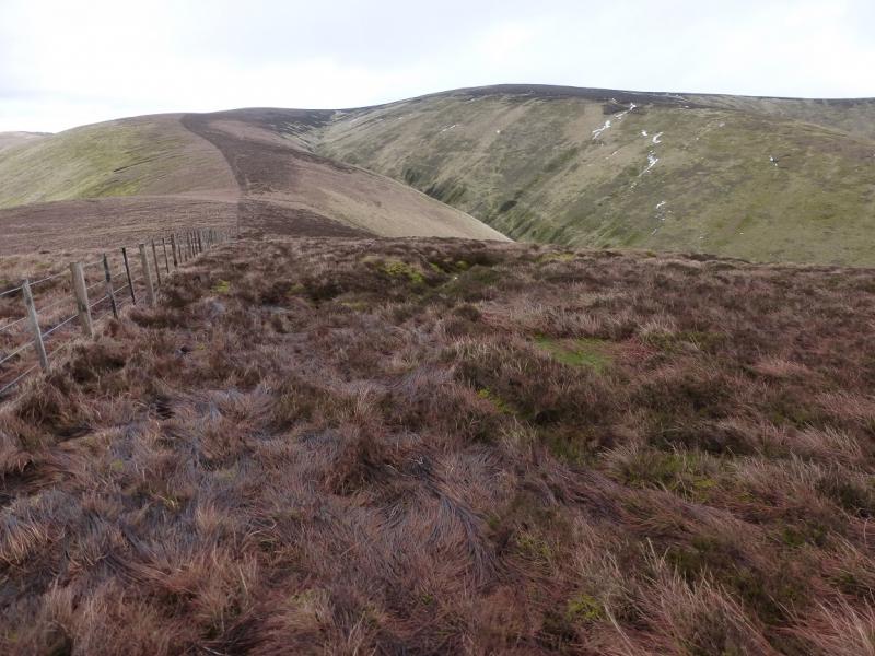
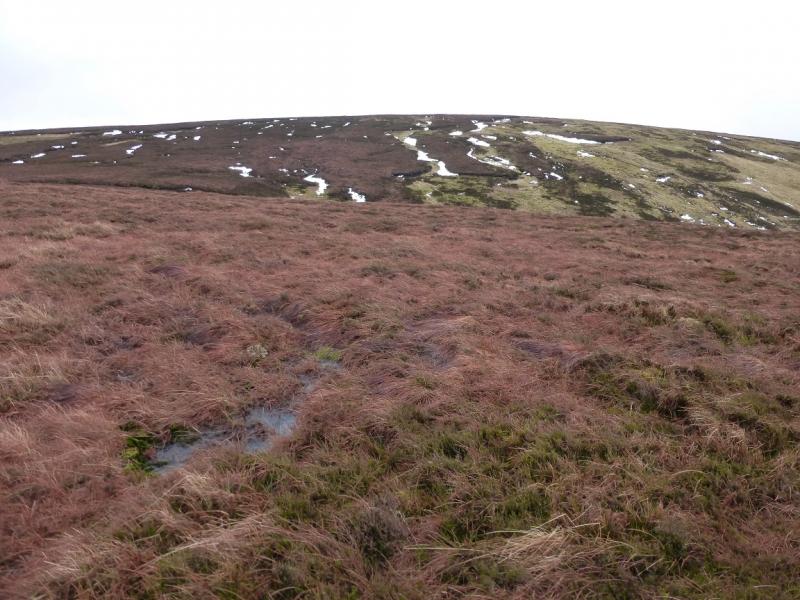
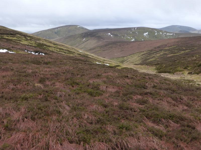
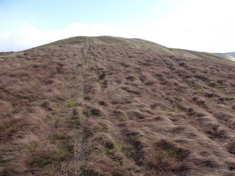
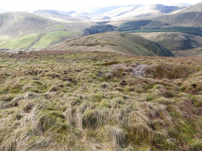
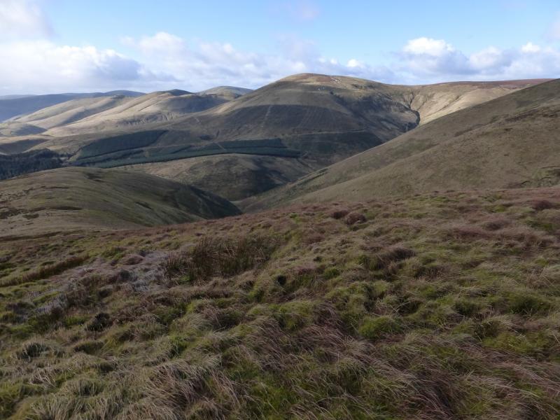
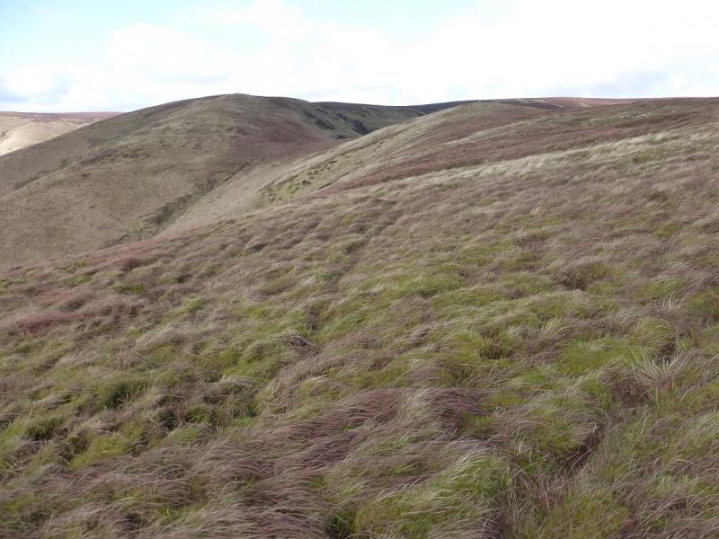
This is a high moorland hill which dominates the surrounding countryside and has good views in all directions. The route follows a fence line all the way to Cauldcleuch Head and some way down its south ridge, after which some posts and an intermittent ATV track help with navigation. The ground is rough, but not horrendous, moorland throughout and can be sodden in places but there are no bad boggy sections. This would be an ideal route on a clear winter's day with the ground covered in firm snow.
Route
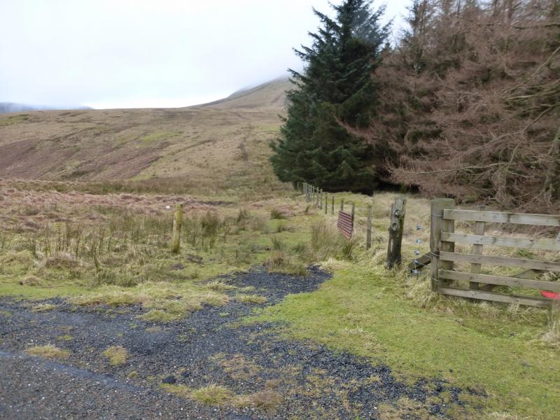
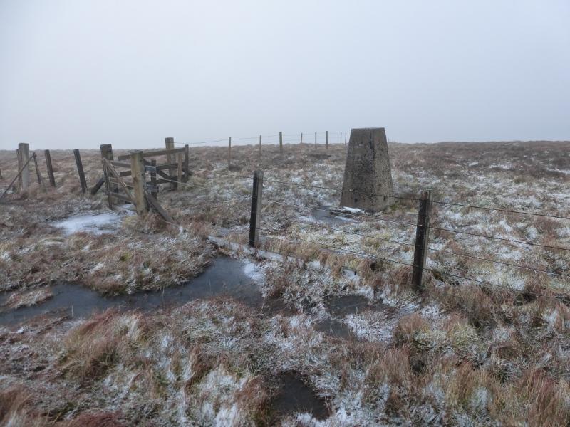
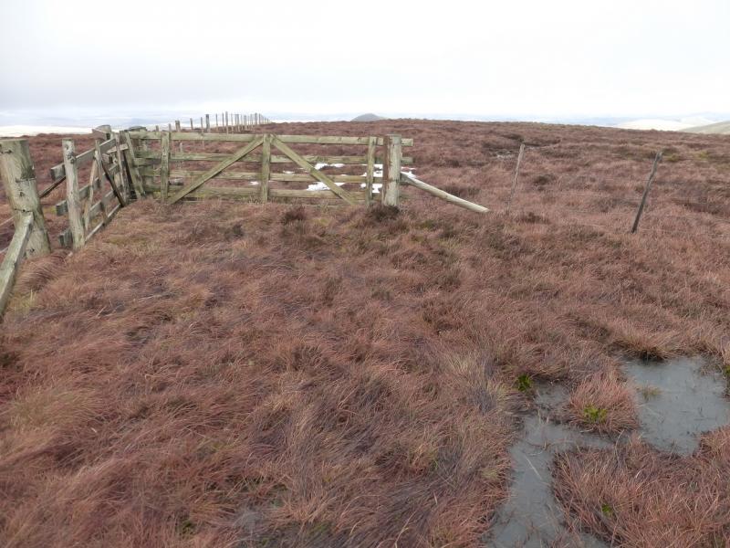
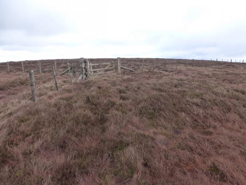
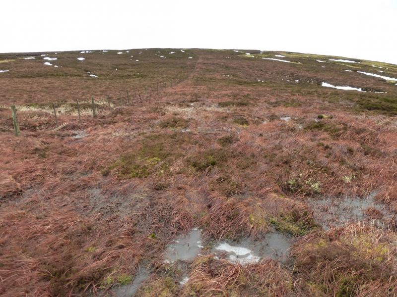
(1) Walk along the road to the W end of the wood then follow an ATV track up its side – this can be sodden in places. The fence continues beyond the wood and leads up steeper ground before the gradient eases and one reaches a fence junction on the top. Cross the fence which was followed up the S ridge to reach the trig point which marks the summit of Tudhope Hill, 599 m.
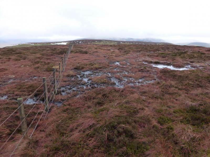
(2) Leave the fence and follow the one going roughly N (not shown on some maps). This leads down to a shallow col then up to another fence junction on the flat top of Millstone Edge. The OS give this a spot height of 567 m but there seems to be nothing to mark its summit. Go right at the fence junction, ESE, and follow the fence down, less than 30 m, to a shallow col then up, less than 20 m, to Langtae Hill. The OS have given this a spot height of 544 m but, again, there seems to be no cairn on this very flat top. Continue following the fence, now roughly NE, to reach another fence junction on a shoulder. Turn right, roughly ESE, and follow the fence which soon turns N and makes the short ascent up to another fence junction where there is the remains of a sign and two iron stakes which mark the summit of Cauldcleuch Head, 619 m. There is no cairn.
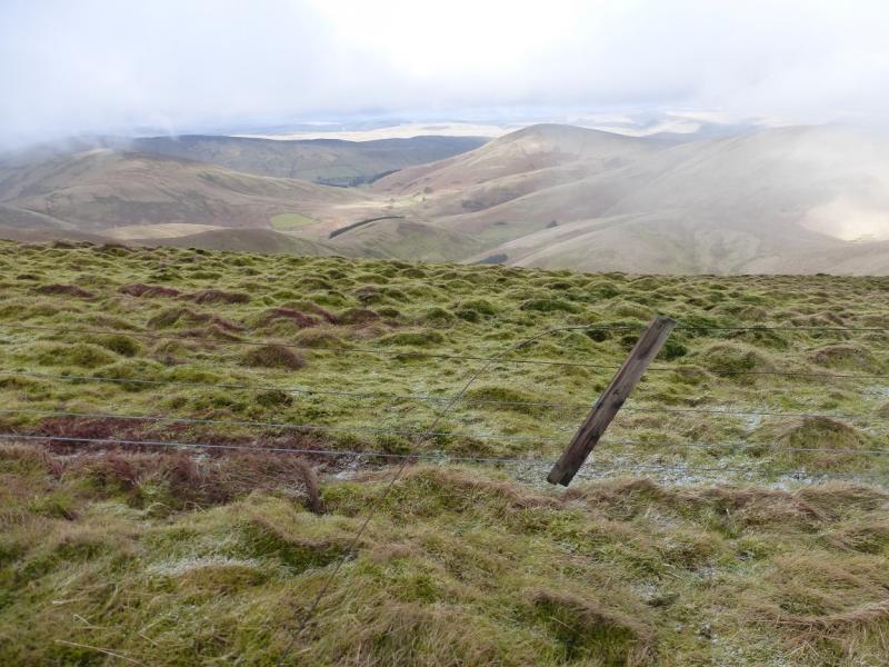
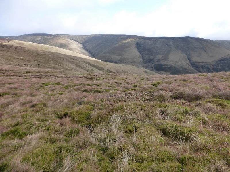
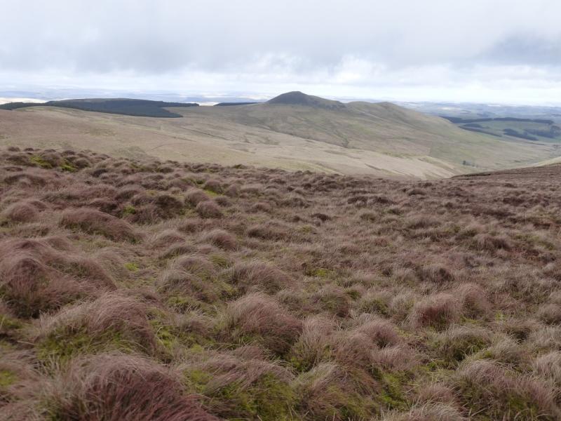
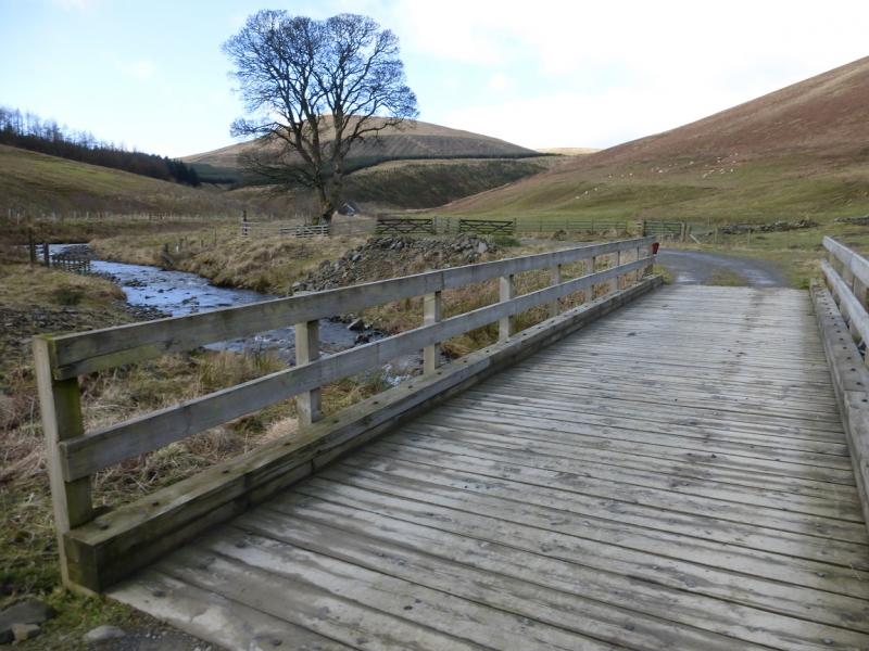
(3) Descend S, still following the fence, down the gradual, but rough, moorland slopes. When the fence turns ESE at a distinct corner, leave it and head SW holding to the broad crest known as Blackgrain Side. On 22/2/16, there were some old posts which could be followed but do make sure you are heading SW from the fence corner. Further on the line of posts goes more to the S and ascends to the flat Pennygant Hill. Continue, roughly SSE, down to a shallow col then up to the narrow crest of Stob Fell (OS spot height 518 but no cairn). Descend the S ridge for about 200 m then head almost due W down to South Mid Hill. Continue descending W. The slope steepens lower down. A new conifer plantation has been planted lower down but keep going. A fence just before the trees has a rough track just before it and the track can be followed down (roughly S/SW) to the main track by the Billhope Burn. The track is eroded and steep just before it joins the main track. Follow the main track S, past a cottage to reach the road at Billhope. Turn right, N, and walk, unfortunately uphill, for about 800 m back to the car park at the entrance to the wood.
Notes
(a) This walk took place on 22nd February, 2016.
Photos - Hover over photo for caption. Click on to enlarge. Click on again to reduce.