Get Lost Mountaineering
You are here: Scotland » 00 Galloway and the Borders » Dumfries and Galloway Hills
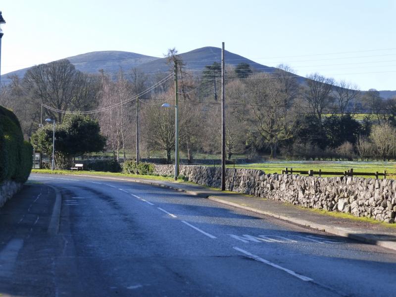
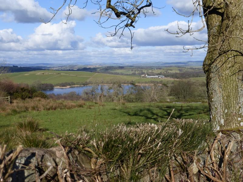
Criffel from Ardwall near New Abbey
Criffel from Ardwall near New Abbey
Start/Finish
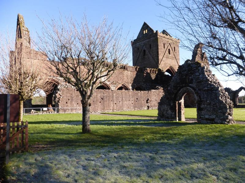
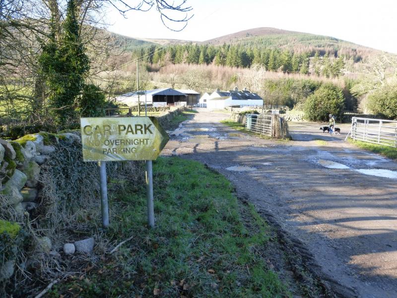
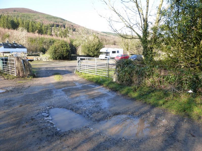
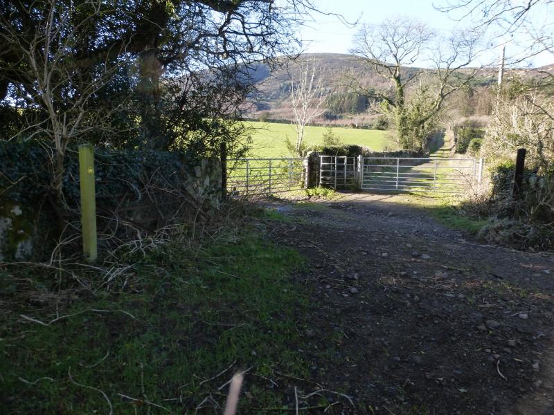
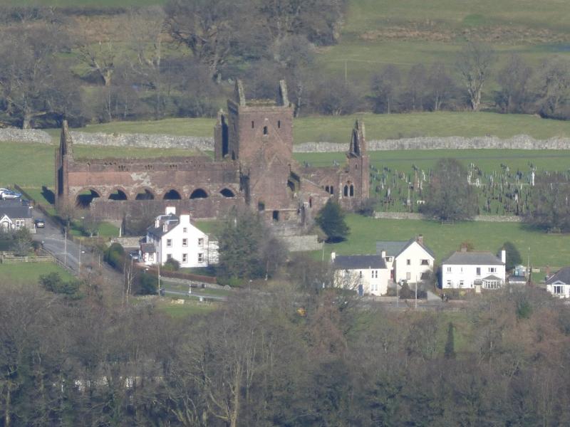
The turning for Ardwall is about 2 miles south of New Abbey on the A710, Solway Coast Road. The turning is not well signed and can be missed. Drive to the end of the road then continue a little further on a dirt track to reach the car park. New Abbey is about 6 miles south of Dumfries on the A710 which is well signed on all approaches to Dumfries; it is also called the Solway Coast Road. There are toilets in a car park in New Abbey next to the ruin of an old abbey which is well worth a look.
Distance/Time
6 km About 3 – 4 hours
Peaks
Criffel, 569 m, NX 957 619.
Knockendoch, c 445 m, NX 965 631. OS Explorer sheet 313: Dumfries & Dalbeattie.
Introduction
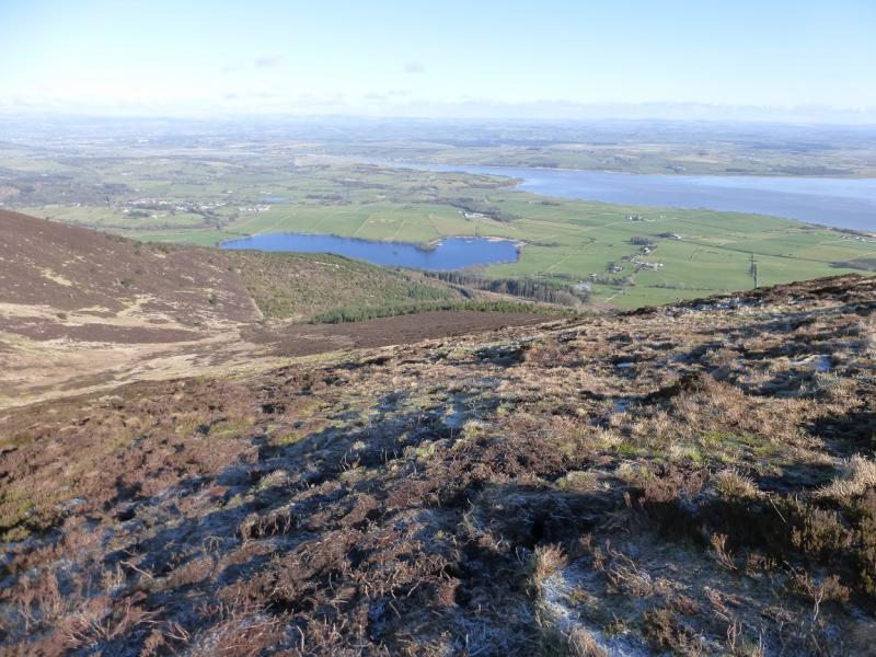
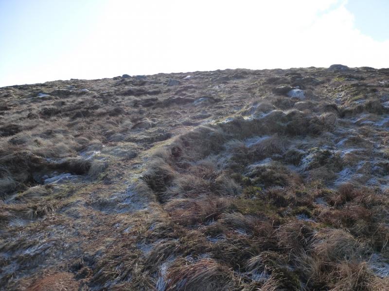
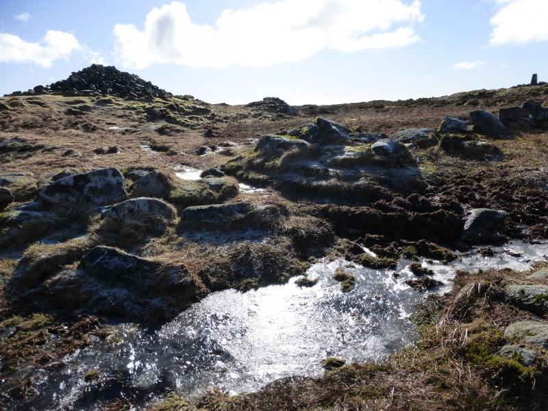
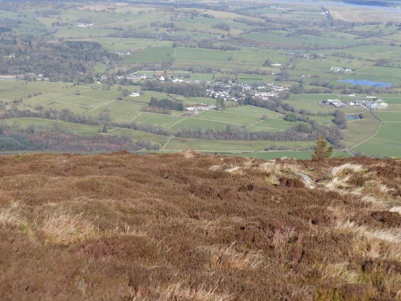
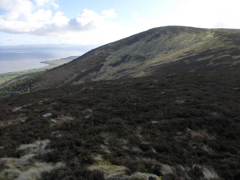
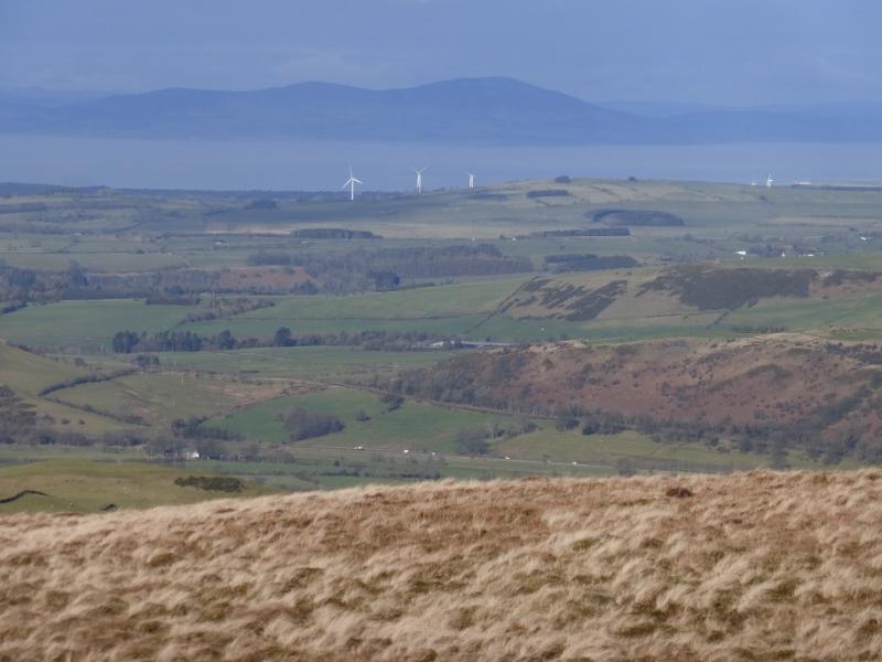
Despite its relatively low height, Criffel is a commanding hill – the highest in the area. It is well seen from England across the Solway Firth and also on the A75, approaching Dumfries from Gretna. On a clear day, the high Lakeland hills are visible especially Skiddaw although the sun may be in your eyes! The Merrick, Corserine and Carsphairn ranges will also be visible to the west. The natural going on the hill is rough and wet moorland. There is a new gravel path to the top of the forest but after that the ground can be very boggy indeed. Freezing conditions do not help as the ground then holds sheet ice!
Route
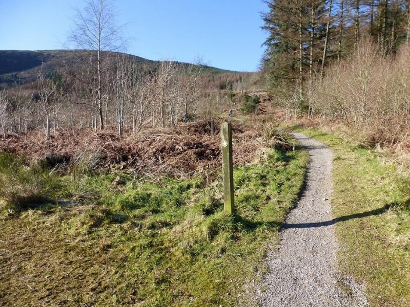
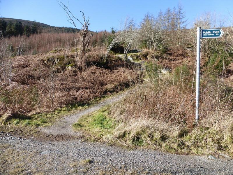
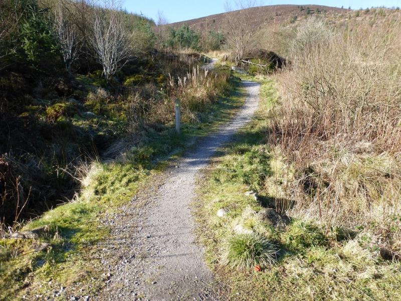
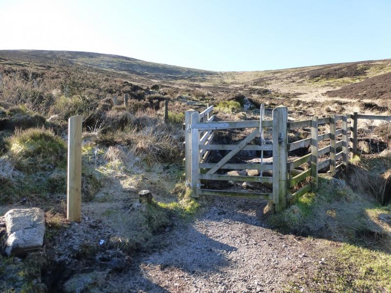
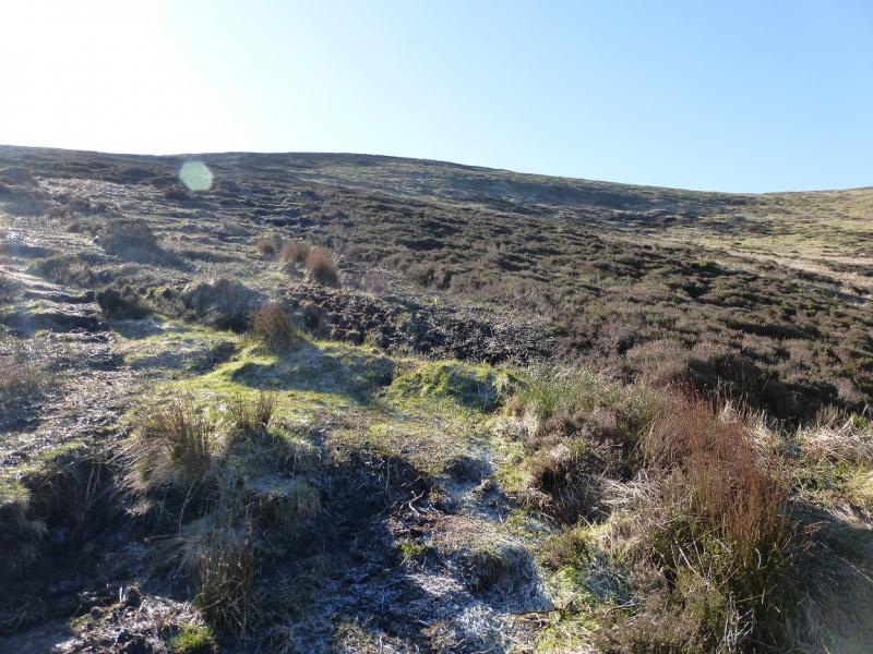
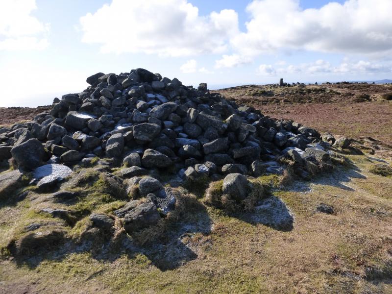
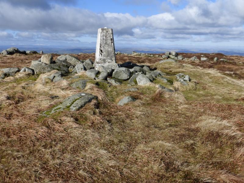
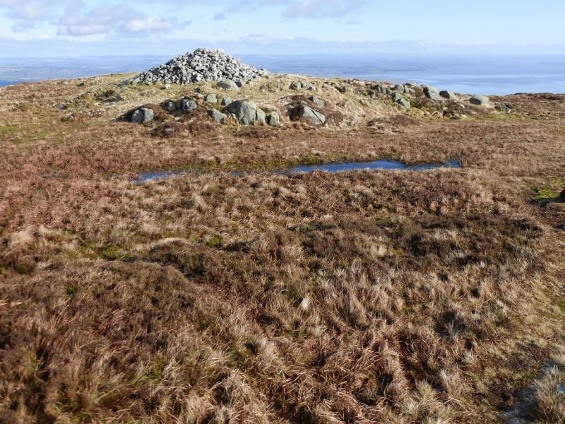
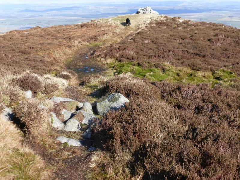
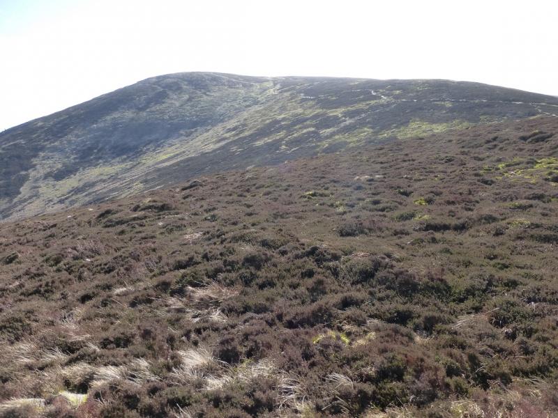
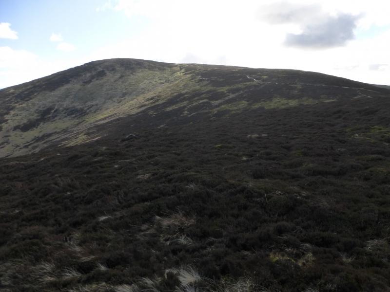
(1) Leave the car park, cross the lane (sign) and follow the track for about 100 m before another sign turns one right onto another track. Follow this up; it soon becomes a path and shadows the Craigrockall Burn, crossing some tracks on the way. At the top of the forest, the good path ends at a kissing gate. Immediately, there is a very boggy section and it remains boggy for some way up the moderately steep slopes. When it is not boggy, it is often mossy! One can easily see the many routes taken to avoid the worst of the ground. Eventually the gradient eases, as does the boggy nature, and the large summit cairn soon comes into view with a trig point nearby. It is hard to tell which of the two is the higher but one, or both, is obviously the summit of Criffel, 569 m. The summit cairn is actually called Douglas's Cairn after a previous Earl of Douglas.
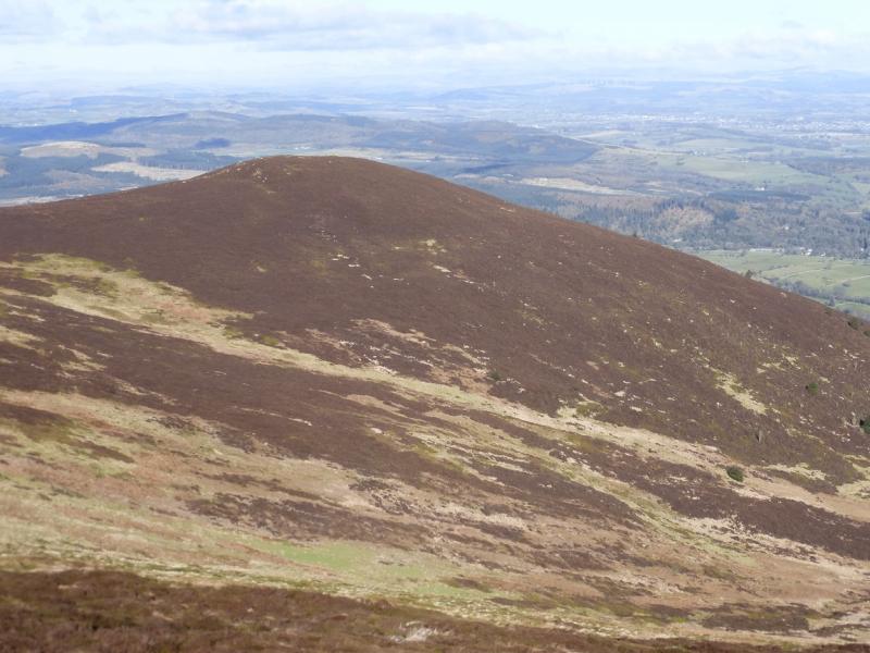
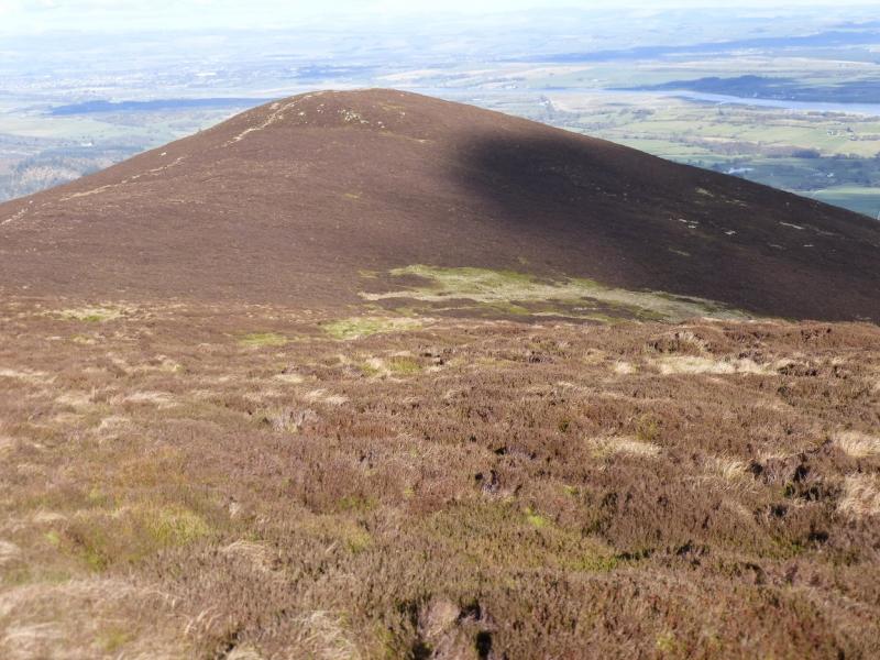
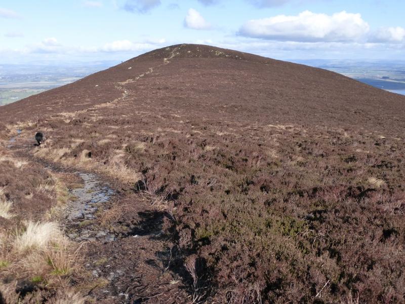
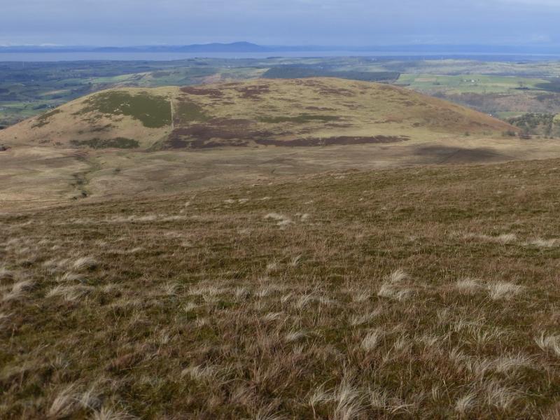
(2) Retrace to the edge of the summit plateau where, on a clear day, Knockendoch will be visible on the N end of a connecting ridge with an obvious path leading up from its S col to the summit. However, it is not obvious how this path connects to Criffel! Do not be tempted to aim directly for the col or to walk down the N ridge of Criffel as neither way has a path and the ground is rough and wet! There is a good path which makes a gentle descending traverse across the N flank of Criffel to the col. It starts lower down the N flank than one would expect so retrace a little way down the ascent path and keep looking left! From the col, spot height 429 m on the map, it is short ascent to the medium cairn which marks the summit of Knockendoch, c 445 m. The summit is not given a spot height on the map.
(3) Retrace back to the col and a little further then turn left, on a faint path, which leads down to the kissing gate and the start of the good path. The ground from the col is rough but more pleasant and not so boggy as the ascent up Criffel. The path is easy to follow until close to the kissing gate.
Notes
(a) This walk took place on 23rd February, 2016.
Photos - Hover over photo for caption. Click on to enlarge. Click on again to reduce.