Get Lost Mountaineering
You are here: England » Lake District » 2 Far Eastern Fells
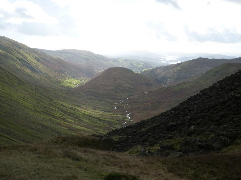
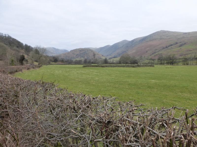
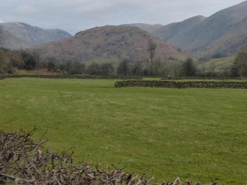
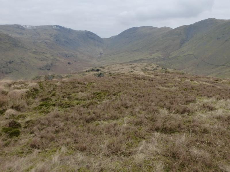
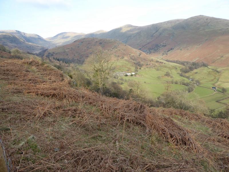
The Tongue from Town Head near Troutbeck
The Tongue from Town Head near Troutbeck
Start/Finish
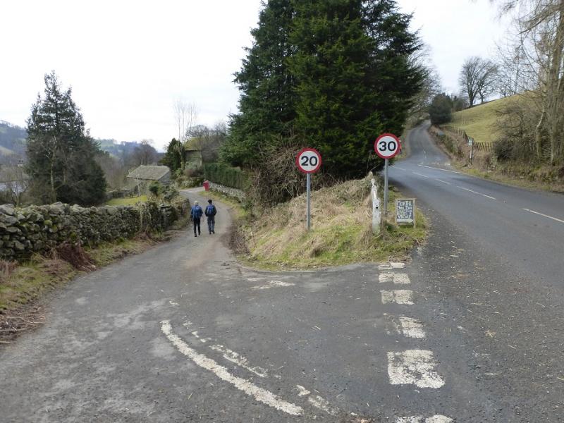
Park in a small rough lay by on the west side of the A592 just to the north of the Town Head and Troutbeck turnings not far from The Mortal Man public house (which is on the Troutbeck village road) and just after the Queen's Head which, on 26/2/16, was covered in scaffolding. The A592 is the Windermere to Ullswater road which leaves the A591 Windermere to Ambleside road at a mini-roundabout just to the north of Windermere. Coming from the Ullswater direction, one would have to drive over Kirkstone Pass (may be impassable in winter). The lay by is then on the right about 100 m before the turnings for Town head and Troutbeck village just before the Queen's Head.
Distance/Time
6 km About 3 hours
Peaks
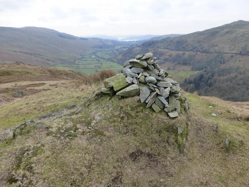
The Tongue, 364 m, NY 423 064. OS 1 : 50 000 , sheet 90.
OS 1 : 25 000 Outdoor Leisure 7, English Lake District SE Area.
Introduction
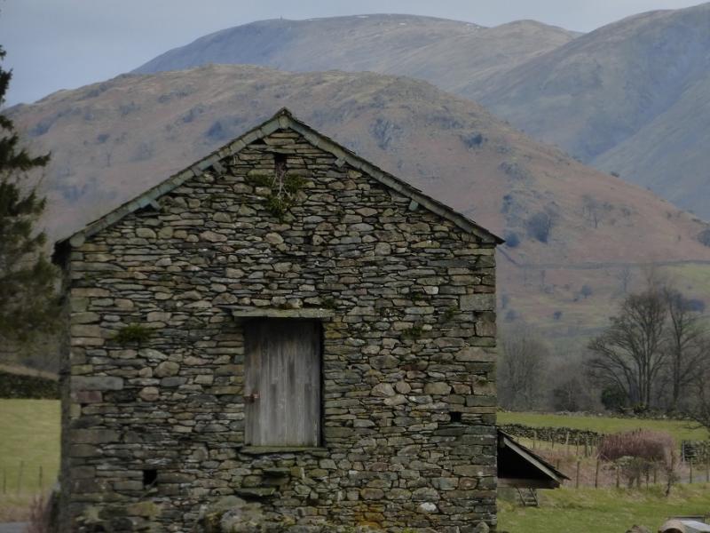
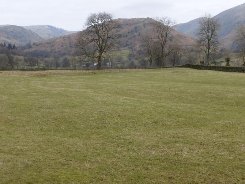
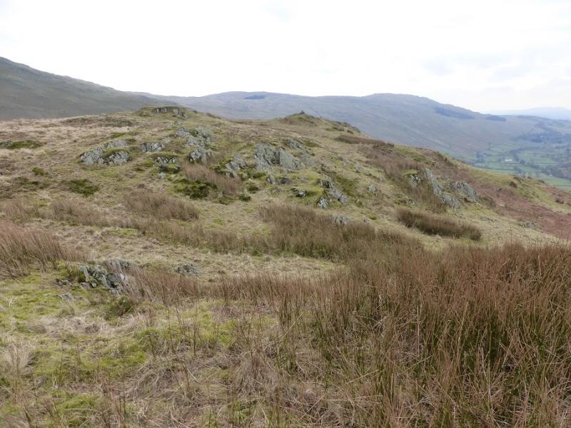
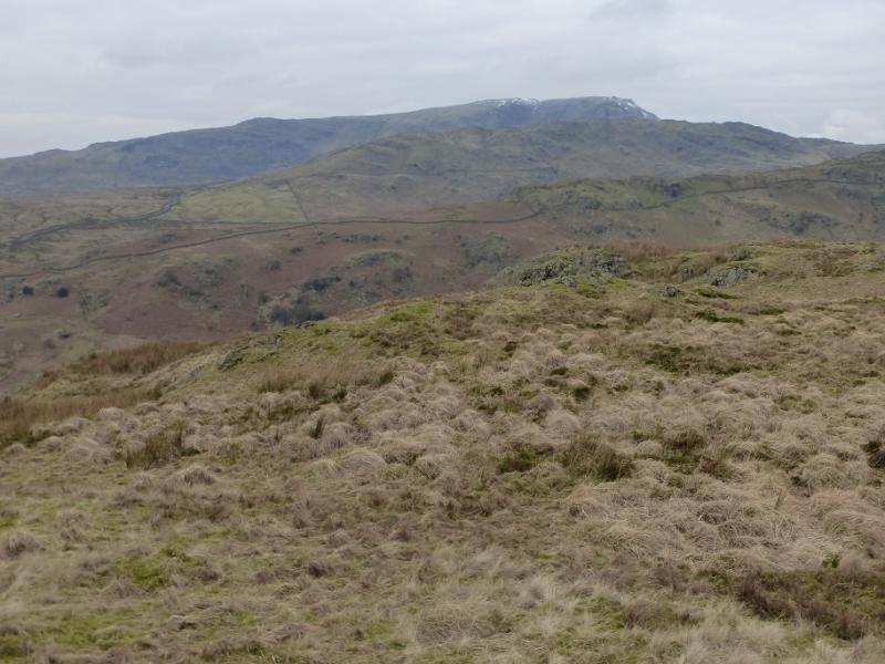
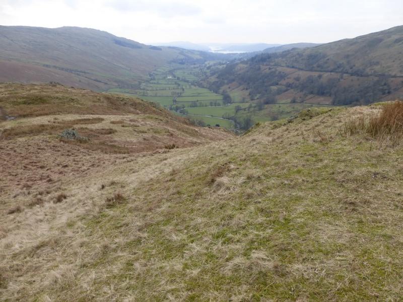
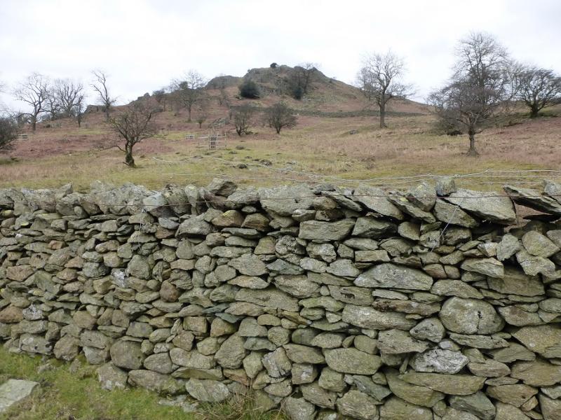
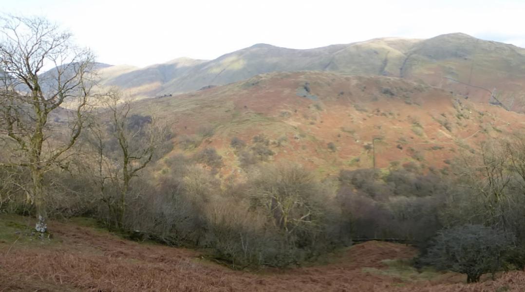
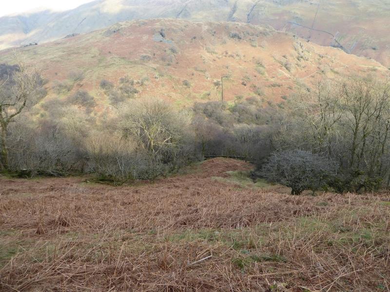
The Tongue (sometimes called Troutbeck Tongue) is effectively a long spur off the Stony Cove Pike to Thornthwaite Crag ridge. It offers good views of Stony Cove Pike, Threshthwaite Mouth, Thornthwaite Crag, Froswick, Ill Bell, Yoke, Sallows, Sour Howes, Wansfell and Windermere. Despite its relatively low height, it has some moderately steep slopes. There is a private tarmac road from Town Head to Troutbeck Park so cars are not allowed but one could easily cycle to the foot of the hill from Town Head. Bracken will be a problem on this hill in the summer. This route gives a reasonable traverse of the hill but it is moderately steep in places.
Route
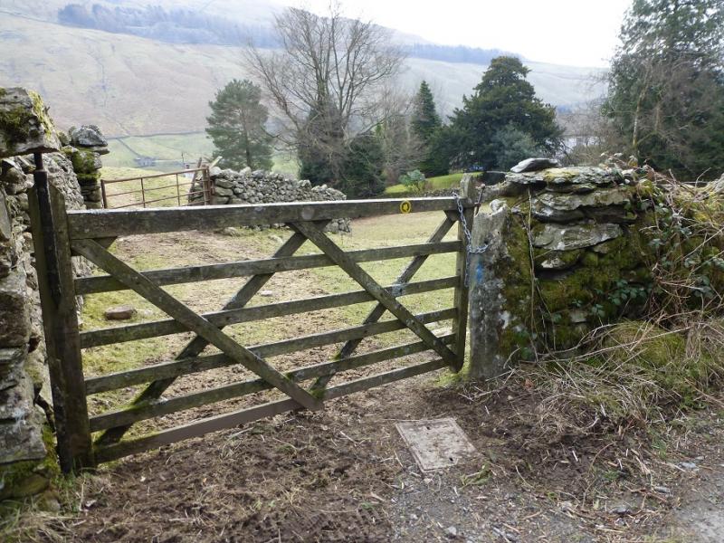
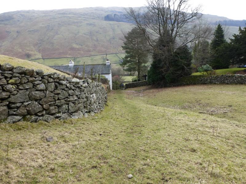
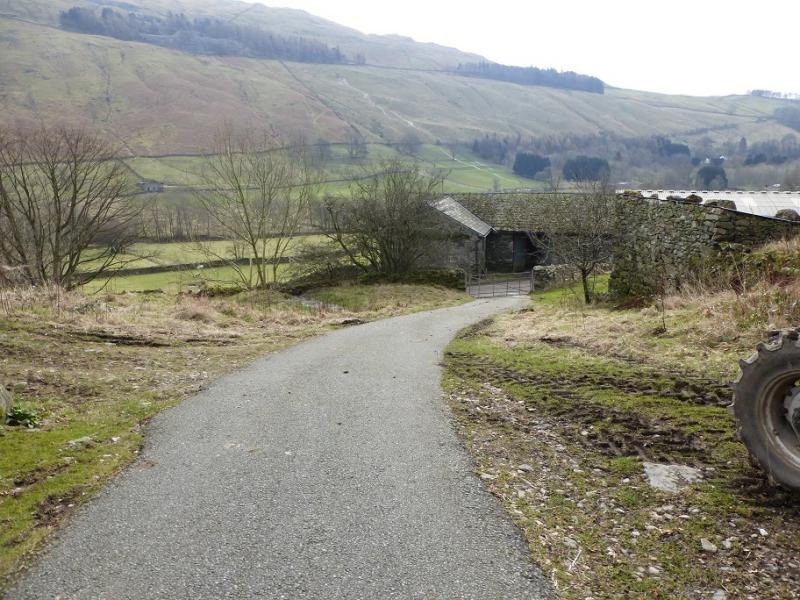
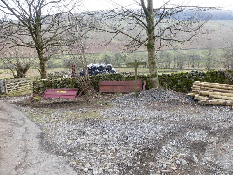
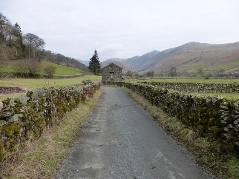
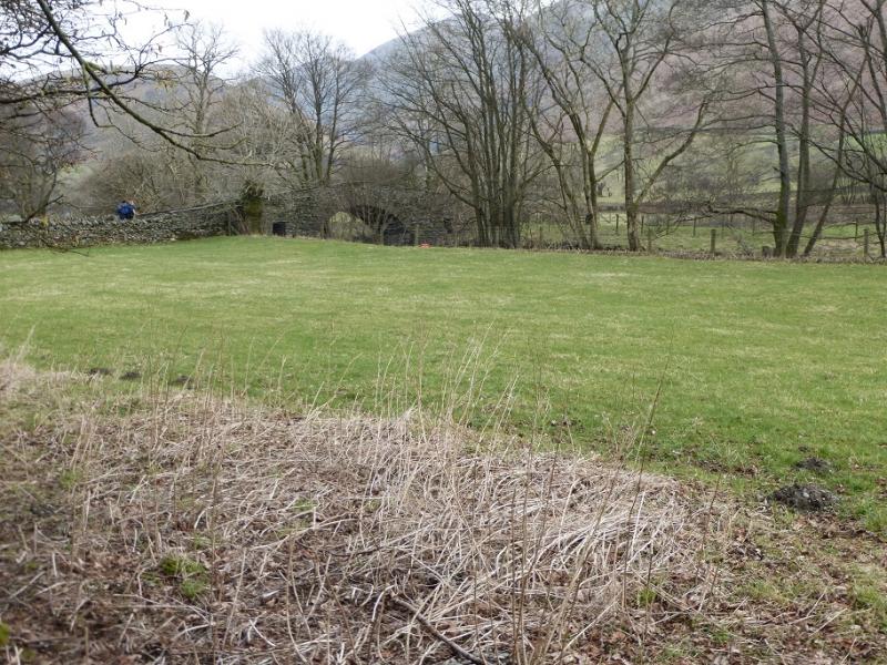
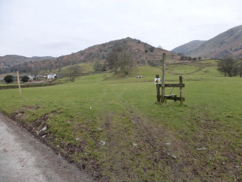
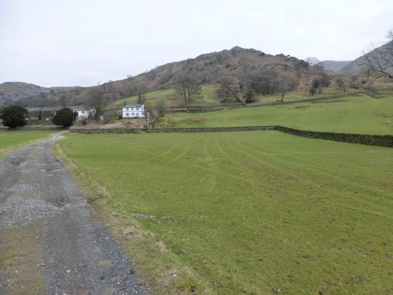
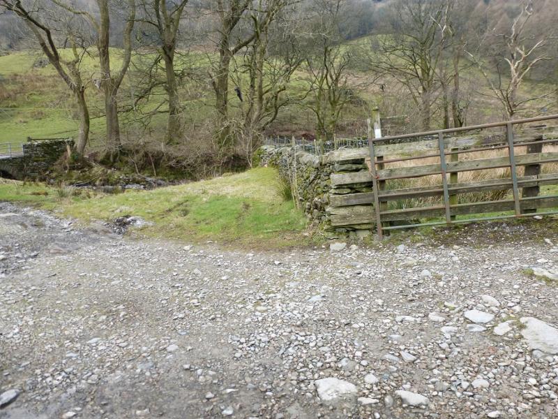
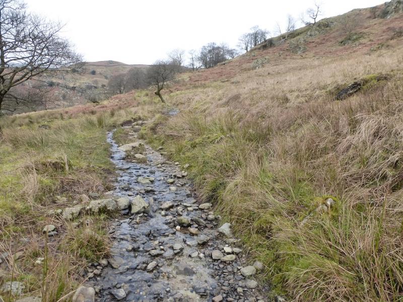
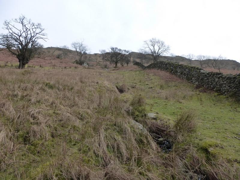
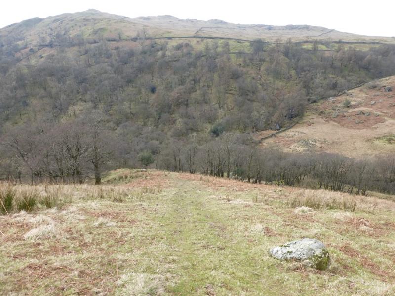
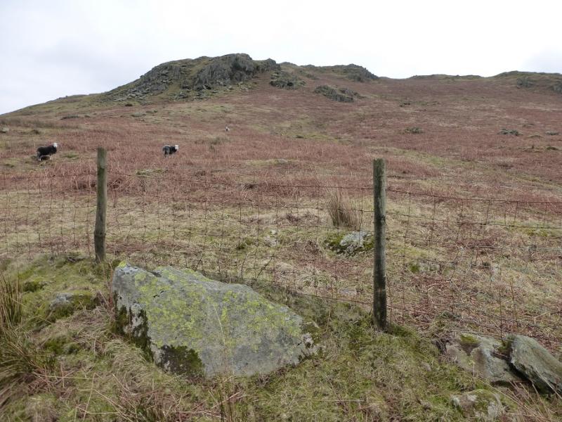
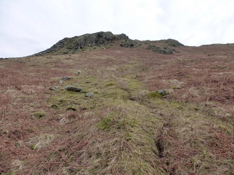
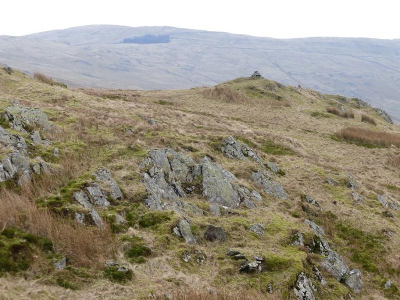
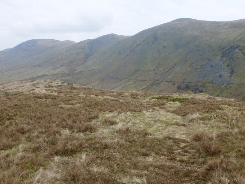
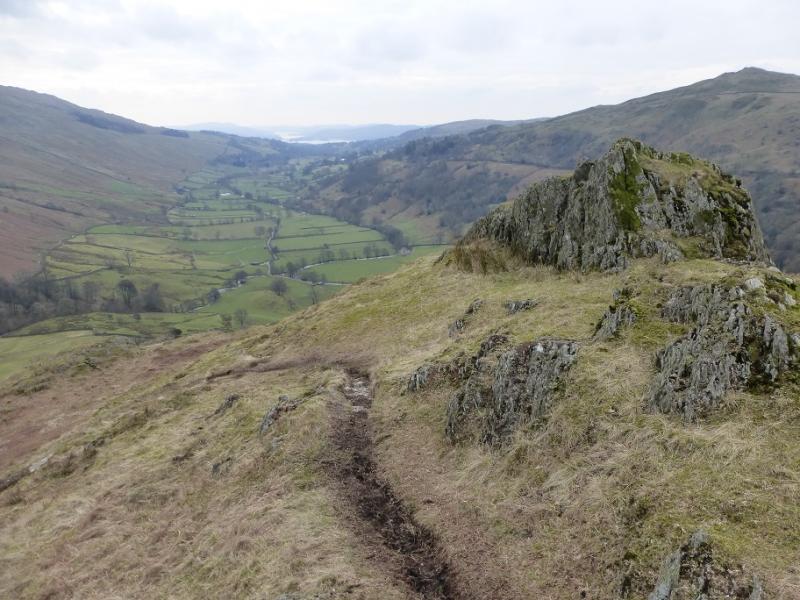
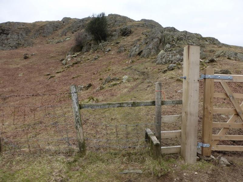
(1) Walk down the minor road, from the N, into Town Head but leave it at the first gate and drop down on the path then track to reach the private road at the bottom of the slope. Turn left and follow the road N. Cross the stone arched Ing Bridge then the flat Hagg Bridge where there is a sign post. Stay on the road and continue to Troutbeck Park. Go through the farm then turn right before a track crosses the river. The path/track heads N and is quite rough and stony. Gain some height then, as the track levels off, look for a rough ATV track going uphill to the right. This is about where the river splits with some minor waterfalls on the left tributary. Follow the track up, moderately steep in places. Look for a fence coming in from the right and head over to it as soon as possible. The track will take one to its highest point but there is no stile and it is a barbed wire fence. The only gate is lower down to the right which is why the fence should be picked up as soon as possible. Once past the fence, pick a way up to the crest, probably just to the N of the summit which is a small cairn marking the highest point on The Tongue, 364 m. There is a reasonable path along the crest.
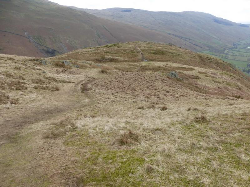
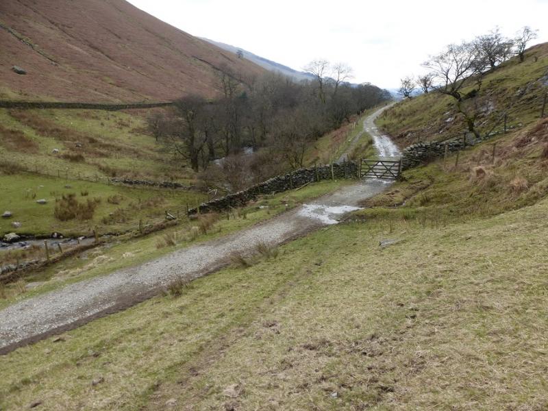
(2) Descend the obvious path down the S ridge heading for an equally obvious track below on the E side of the hill. Lower down, the path goes sharp left because of a wall then steepens before a short section of wet grass just before joining the track. Turn right, S, and walk towards Troutbeck Park. About 300 m before the farm, go through a gate (sign) to pick up a faint path (to the left of a muddy track) going almost directly back to Hagg Bridge. Walk back along the private road to Town Head.
Notes
(a) This walk took place on 26th February, 2016.
Photos - Hover over photo for caption. Click on to enlarge. Click on again to reduce.