Get Lost Mountaineering
You are here: Scotland » 03 North-west Argyll, Appin and Glencoe » Ballachulish & Connel to Loch Etive
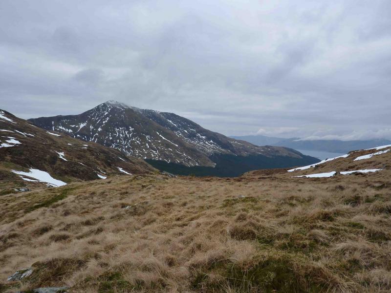
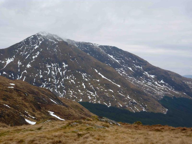
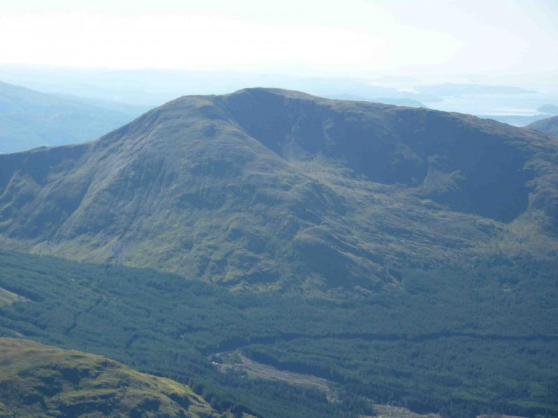
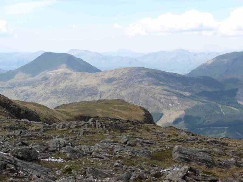
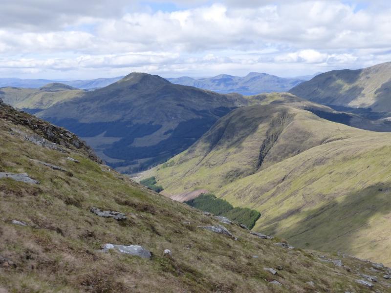
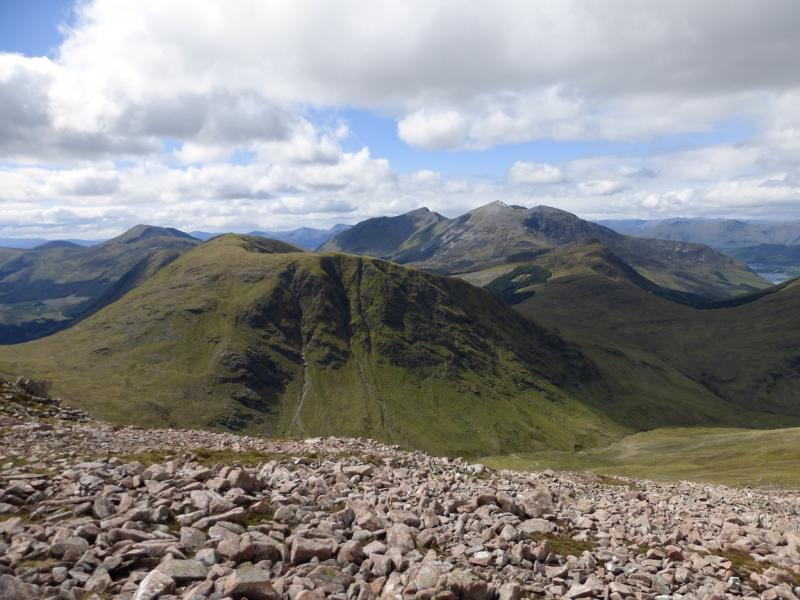
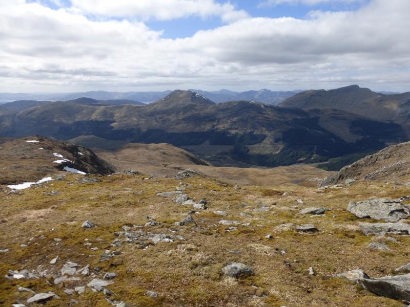
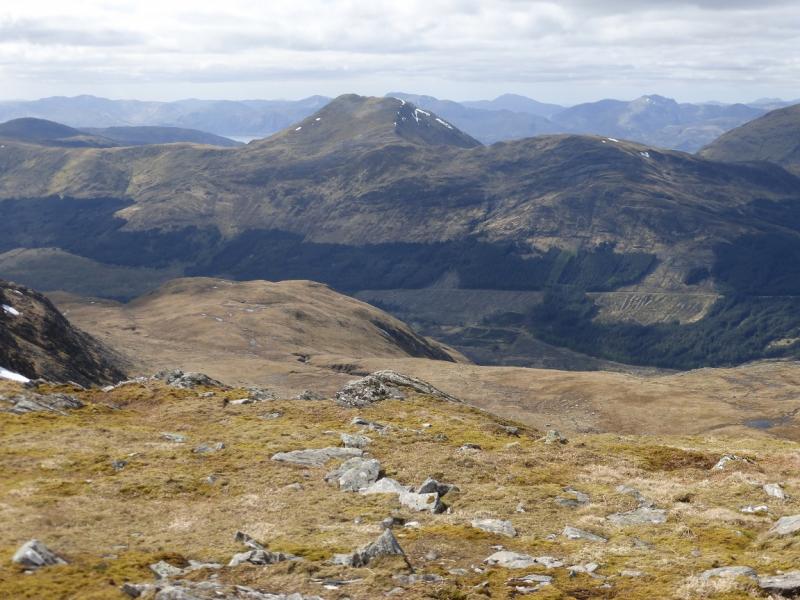
Fraochaidh from Ballachulish
Fraochaidh from Ballachulish
Start/Finish
Ballachulish village. There is a car park at the tourist information office which is signed off the main A82 main road.
Distance/Time
20 km Approx 8 hours.
Peaks
Fraochaidh, 879 m, NN 029 517. OS sheet 41.
Introduction
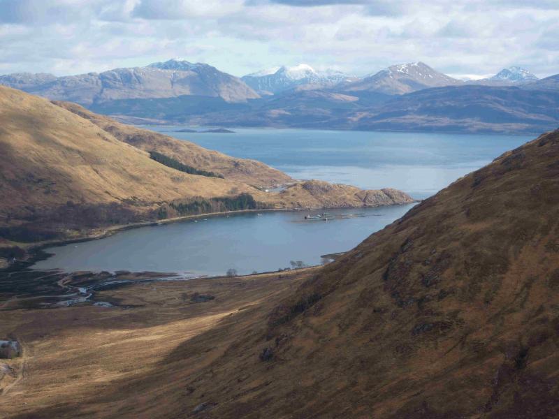
This Corbett takes some reaching and involves an extra 140 m of ascent over its summit height but there can be few better view points on a clear day. There is a 360o panorama which includes the Glencoe peaks, Mamores, the mountains across Loch Linnhe, the western seaboard and Glen Etive.
Route
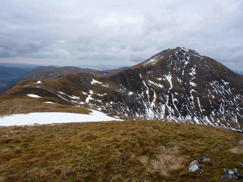
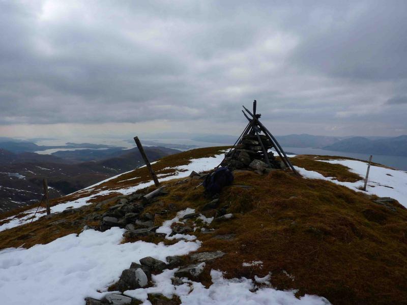
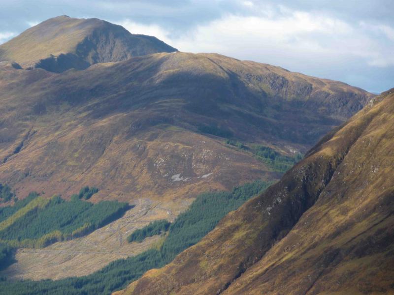
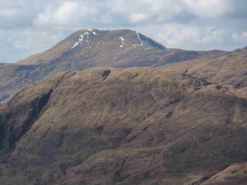
(1) Walk out of the car park on to the road and turn right past the hardware store. Turn left past the Co-op and playing fields. Cross the river and turn left to go past the school. Walk to the end of the road and continue on the track through some gates. The track soon becomes a path. Continue on the undulating path for about another 3 km until it descends almost to the river. Look out for a cairn, marked on the map, near to where the path splits. Take the left fork and follow the river bank to a large meander with a gravel bed on its N bank and a cluster of small trees/bushes on its N side. On the opposite side of the river is a single small tree/bush next to which is a cairn marking the start of the path up to the ridge. This cairn can be difficult to spot and might be washed away in a flash flood. Another indicator of the crossing point is that there is a green area of trees about halfway up the ridge at this point. Keen sighted walkers may also spot 2 posts on the crest of the ridge. On the approach, conifers can be seen poking out at the top of the ridge which is also the lowest point between the pointed Sgorr a’ Choise and the long ridge to Fraochaidh. From the cairn on the S side of the river, a wet path leads up to the crest of the ridge at the point where there is a large stile into the Glen Creran Forest at the boundary of the evergreen and deciduous trees. Do not enter the forest but stay on the ridge climbing SW on a faint path close to the forest boundary fence. Some rusty fence posts appear which go all the way to the summit but are intermittent in this section. Slightly higher up, a new low fence crosses the ridge (no stile on 15/3/10 but work is ongoing). Cross the fence at its highest point and follow a more distinct path up the ridge. On the first top is a low flattish cairn which is the only cairn on the ridge. From here the rusty fence posts become easier to follow with a distinct path always close by. The ridge undulates, adding over 100 m to the ascent, passing several tops and small lochans to reach point 718 then point 671 where it turns WNW to climb the steep narrow ESE ridge to emerge on a short level section, at the far end of which is the small summit cairn (with a metal fence post in it) of Fraochaidh, 879 m. The fence being followed converges with 2 others at the summit.
(2) Return the same way.
Notes
(a) This walk took place on 26th October, 1999 and 16th March, 2010.
(b) With 2 cars it might be possible to descend either towards Duror on into Glen Creran but there is much forestry plantation in both areas so some preliminary research would be needed to avoid having to negotiate going through these densely planted areas. However, on 14/5/15, substantial clearing had taken place and there is now an easy route out towards Duror. An approach to Fraochaidh form Auchindarroch, near Duror, has now been posted.
Photos - Hover over photo for caption. Click on to enlarge. Click on again to reduce.