Get Lost Mountaineering
You are here: Scotland » 00 Galloway and the Borders » Dumfries and Galloway Hills
Craignaw, Mullwharchar & The Merrick from Bruce's Stone
Craignaw, Mullwharchar & The Merrick from Bruce's Stone
Start/Finish
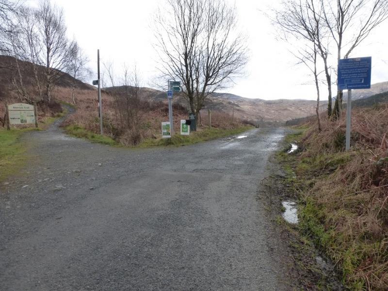
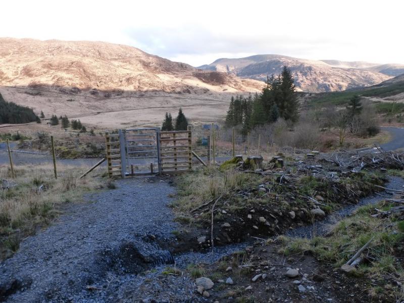
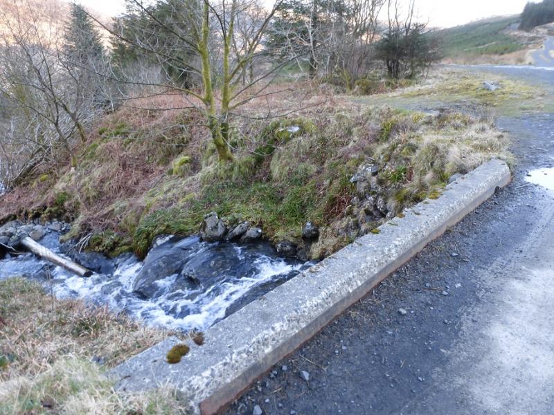
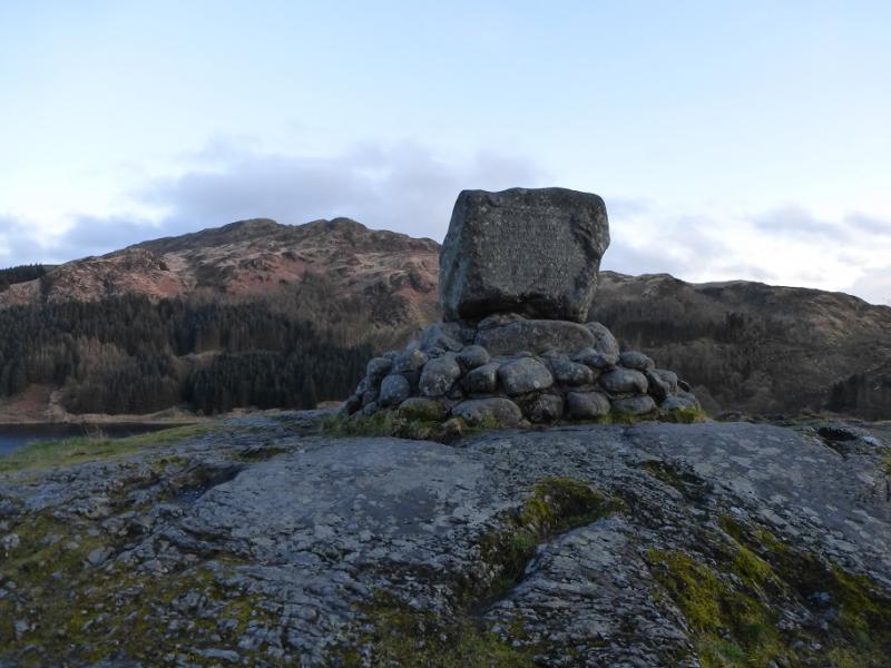
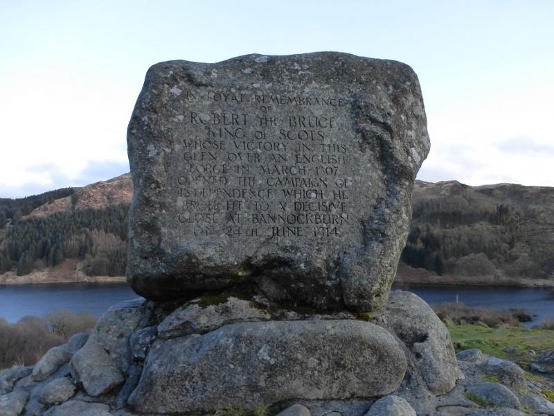
Bruce's Stone car park which is at the end of the public road in Glen Trool. From the A714 road between Newton Stewart and Girvan, turn off for Glen Trool, about 10 miles north of Newton Stewart. After just over a mile, turn right for Bruce's Stone from Glentrool Village. The road is narrow and crosses Stroan Bridge which was damaged during the storms of late 2015. This bridge is now very narrow and anything wider than a normal car will struggle to cross without scraping its sides. After the bridge, there is a visitor centre car park with toilets but continue past here for about another 3 miles to the end of the road where there are two car parks. The first is the larger and the second, about 200 m further, is smaller. Both are free. The second has a short path off to the right which leads to Bruce's Stone.
Distance/Time
19 km About 9 hours
Peaks
Craignaw, 645 m, NX 459 833.
Dungeon Hill, 620 m, NX 460 850.
Mullwharchar, 692 m, NX 454 866.
The Merrick, 843 m, NX 427 855.
Benyellary, 719 m, NX 414 839.
OS Explorer sheet 318: Galloway Forest Park North
Introduction
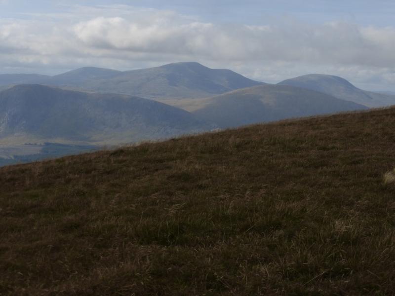
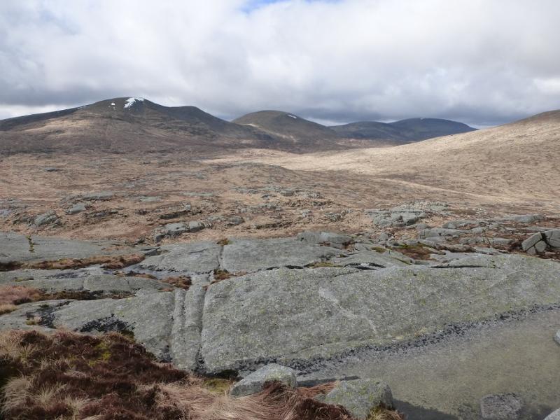
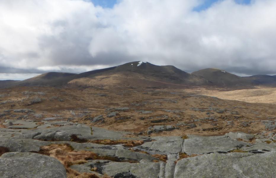
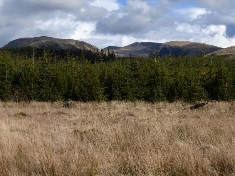
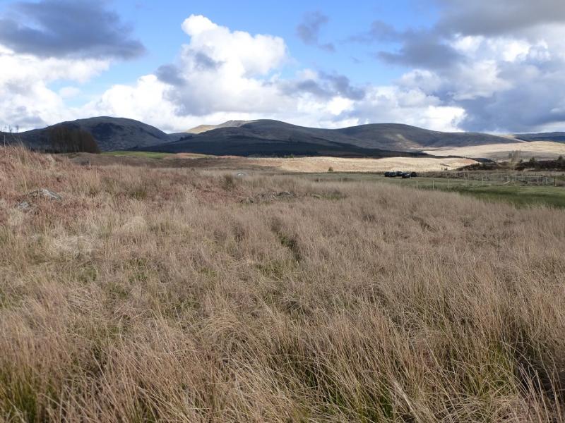
The Merrick is the highest peak in the Southern Uplands. This is a tough route with much pathless and rough terrain. The Gairland Burn path varies between excellent and horribly boggy! There are two significant river crossings (Mid Burn and the outflow from Loch Enoch) which will be awkward after rain and, perhaps, impossible after heavy rain. Navigation will be tricky on Craignaw, Dungeon Hill and Mullwharchar in mist so save this walk for a good day and enjoy the views especially to the Corserine range to the East. On a clear day, even Ailsa Craig, a unique island, off the Ayrshire coast will be seen.
Route
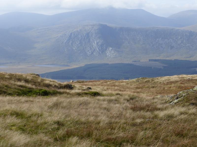
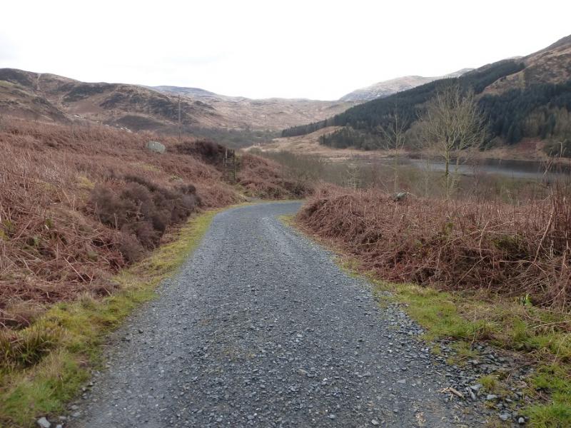
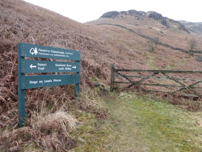
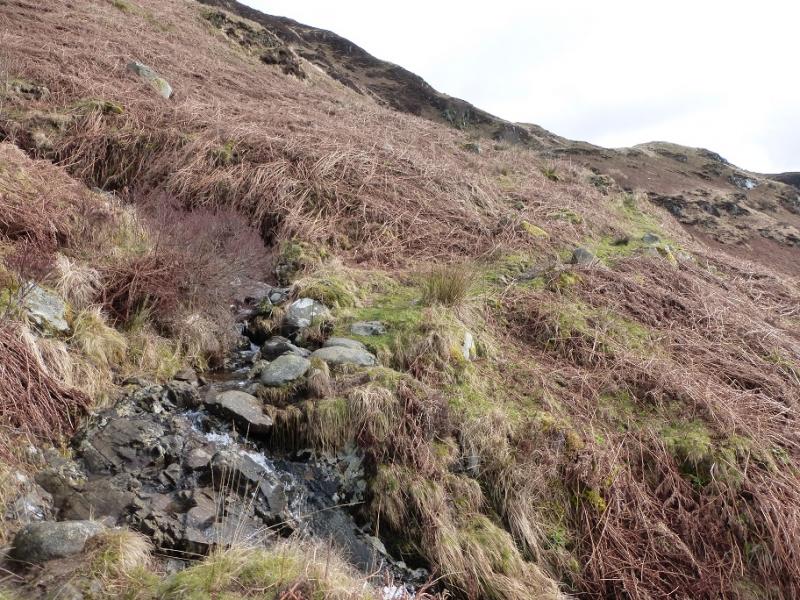
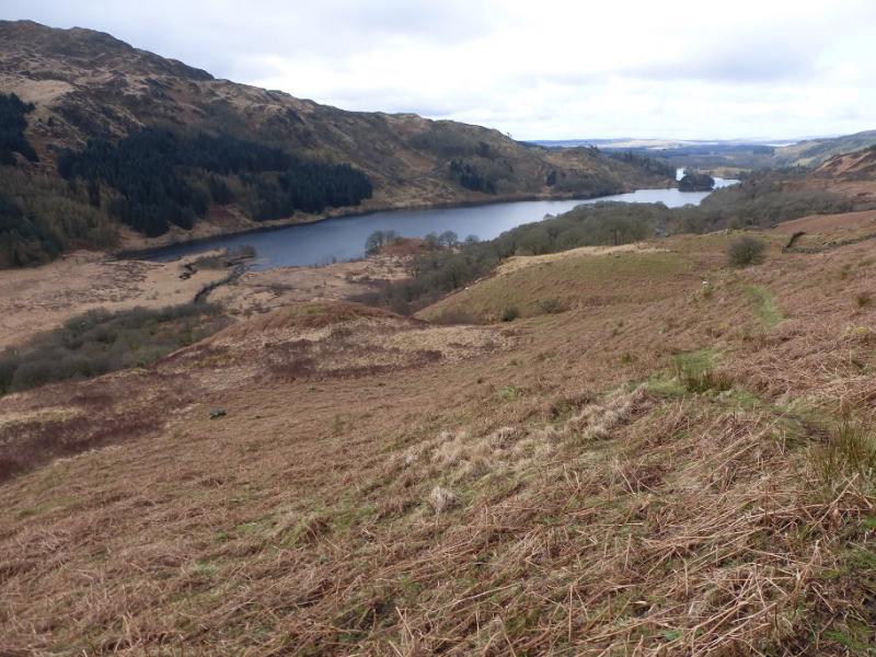
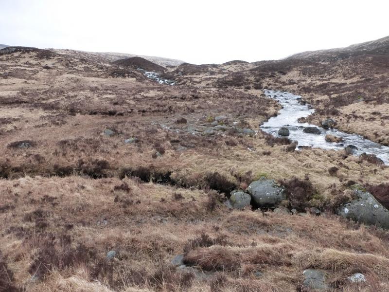
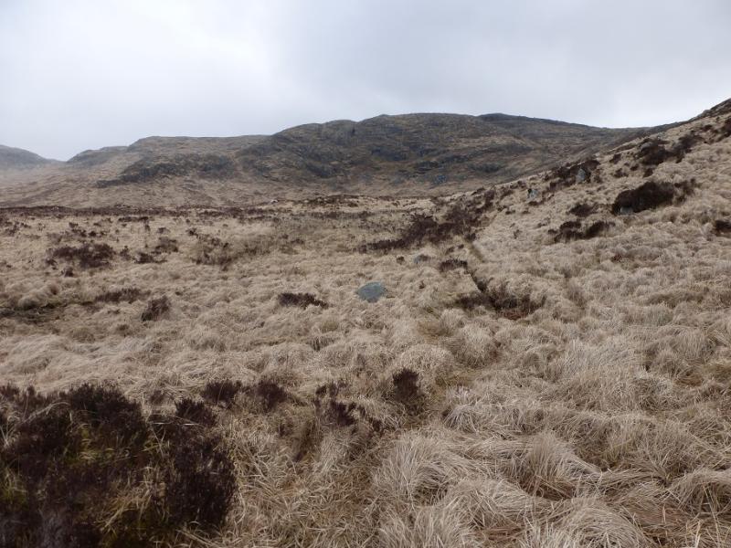
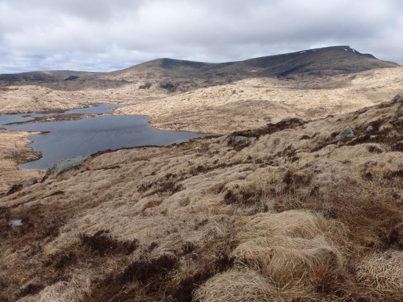
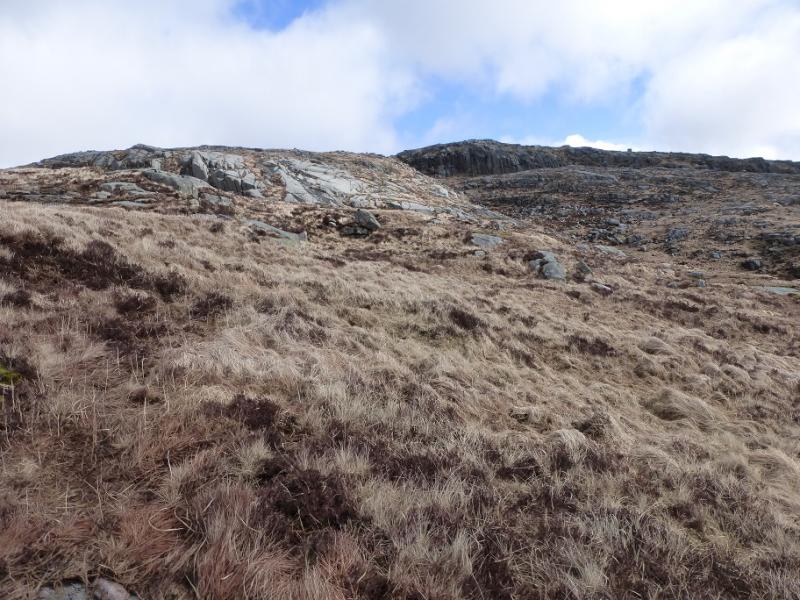
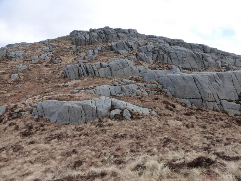
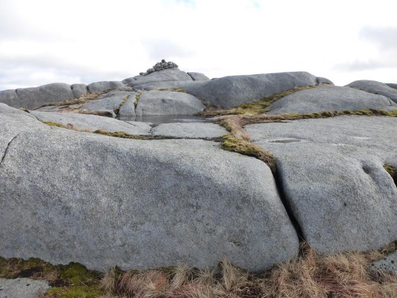
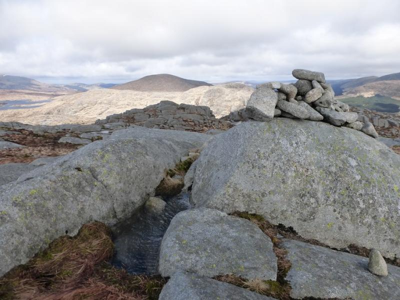
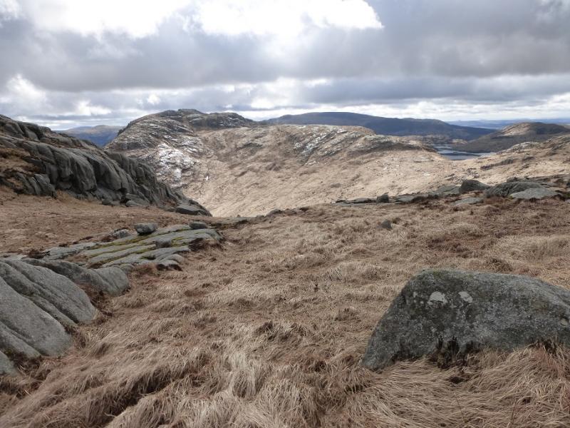
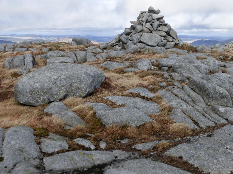
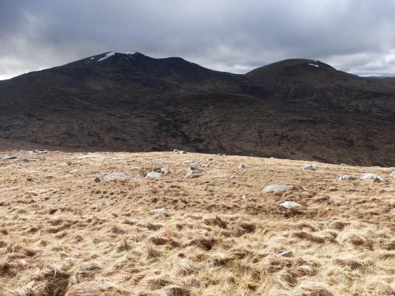
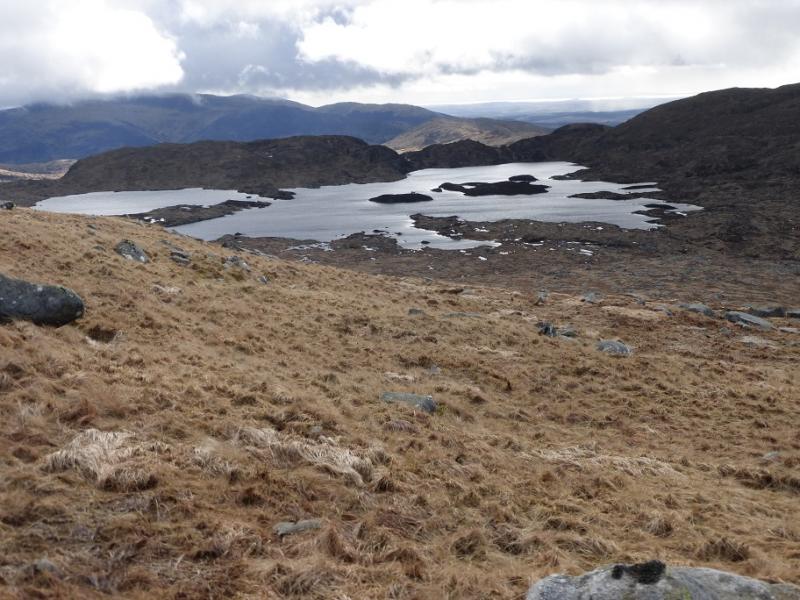
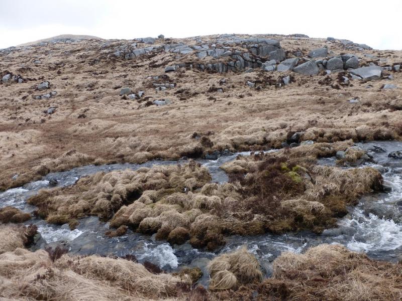
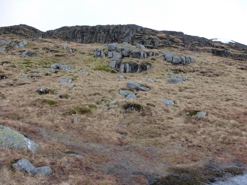
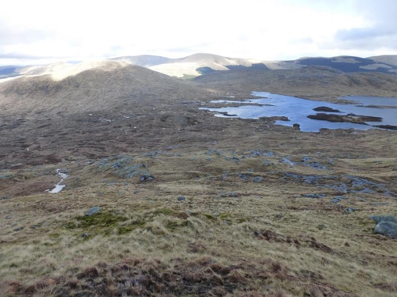
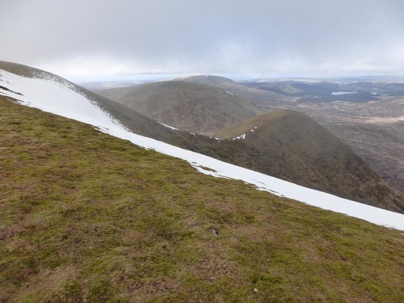
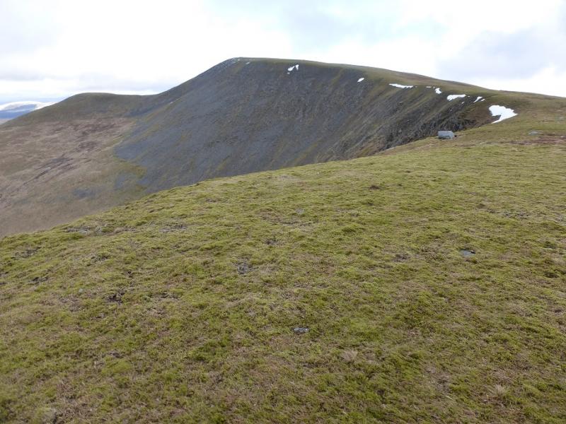
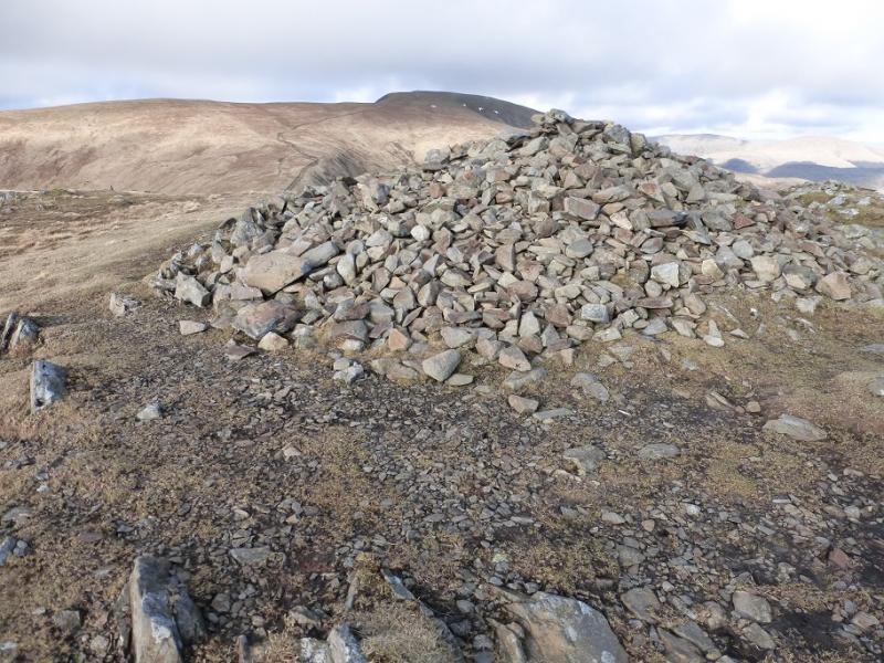
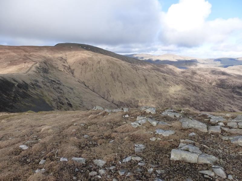
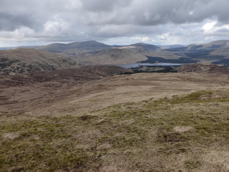
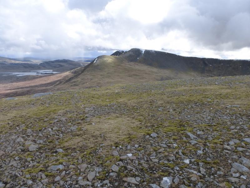
(1) Follow the track which is a continuation of the public road and descend, moderately steeply to reach the old bridge across the Buchan Burn. A little further, the signed path for the Gairland Burn forks off left. Follow this, ofteb boggy, path which traverses around the S and E flanks of Buchan Hill to reach the Gairland Burn. Follow the path up the W side of Loch Valley to reach Mid Burn, the short river between Loch Valley and Loch Neldricken. Soon reach a sheepfold. Look to cross the burn here (not easy after rain) as it may not be easier further upstream and it would be a long detour around Loch Neldricken. Once across, follow a faint path towards the E end of Loch Neldricken. A faint path, not easily spotted, starts to ascend from E of the loch. Follow this, it soon becomes difficult to follow, so pick a way up towards the ridge above on the right which then leads N to the crest at about Black Galry where the crest goes E, ascending gently, to reach a medium cairn on an outcrop which marks the summit of Craignaw, 645 m. The OS map seems to paint an over complicated picture of the crags on Craignaw but there are no difficulties to worry about in good weather.
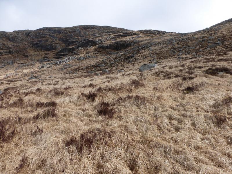
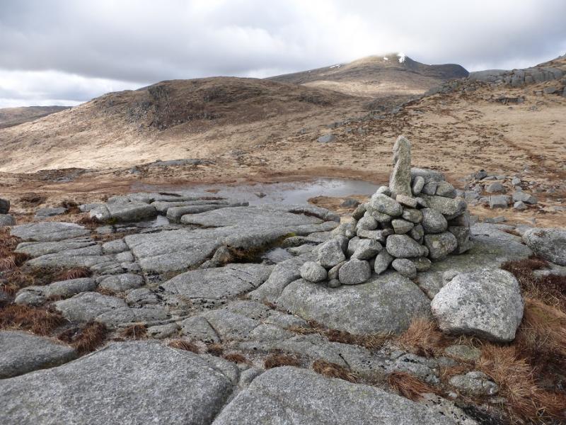
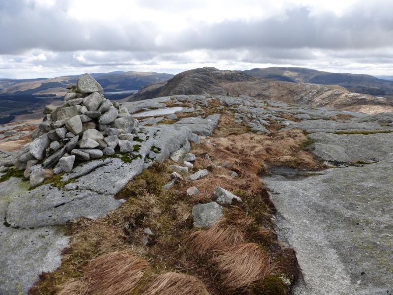
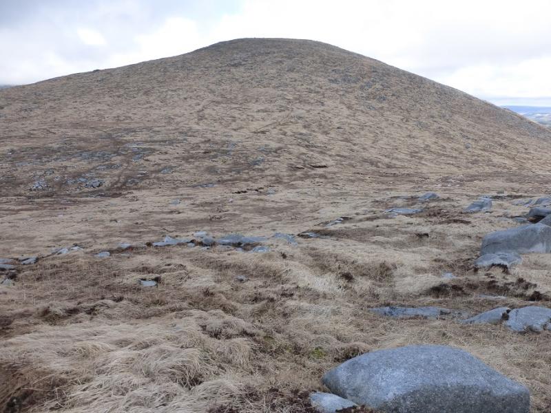
(2) Descend W then NW to gain the ridge leading towards point 572 and Craignairny. Avoid going N from the summit as the ground is steeper and more rocky. Once on this ridge, follow the crest down to a col (494 m) where there is a cairn. If not already on a path, a fairly obvious one leads up towards Craignairny but traverses across its SE flank before becoming fainter. Gain the ridge between Craignairny and Dungeon Hill then pick a way up easy outcropped slopes to reach a medium cairn on an outcrop which is the summit of Dungeon Hill, 620 m.
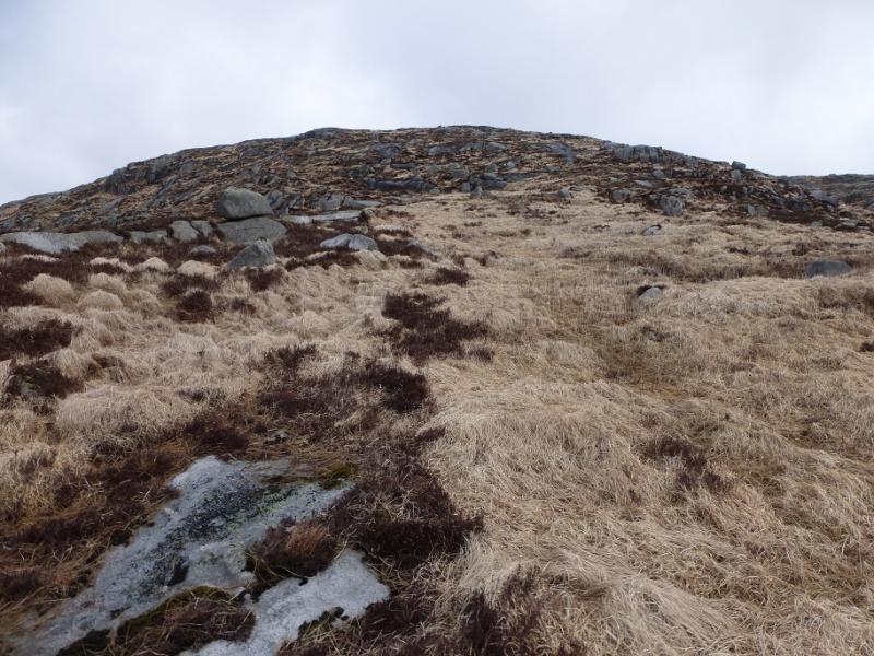
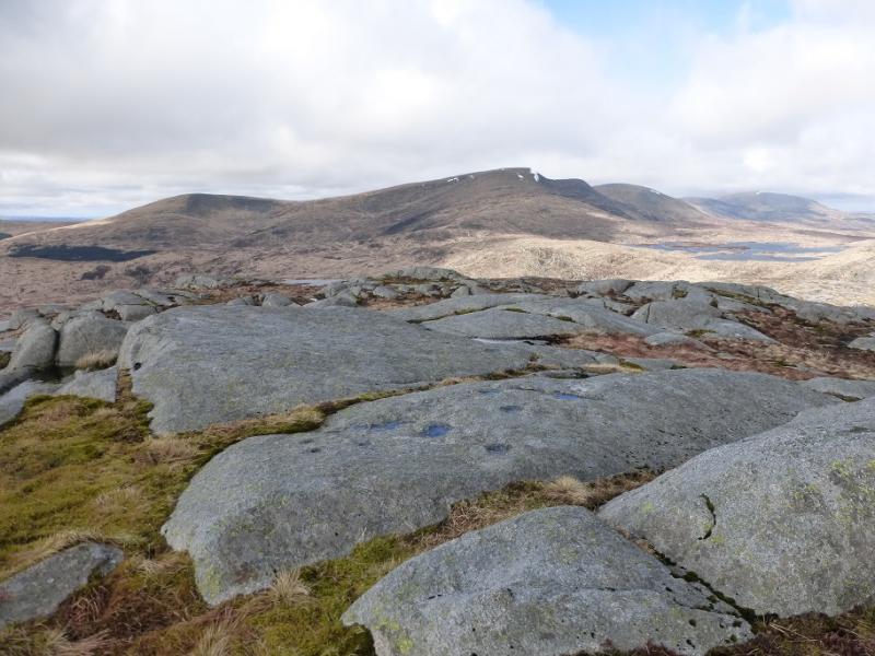
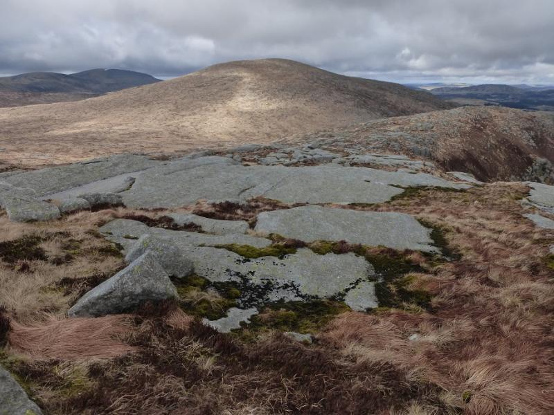
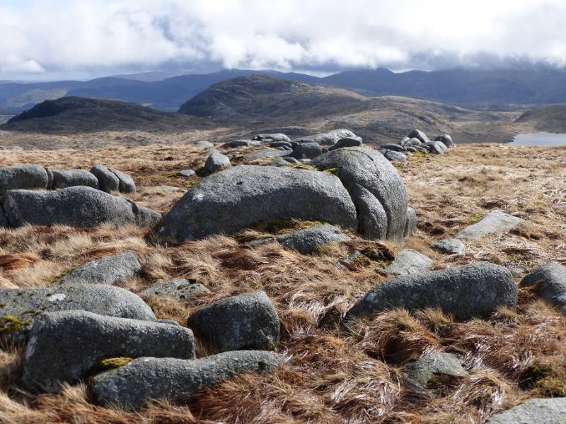
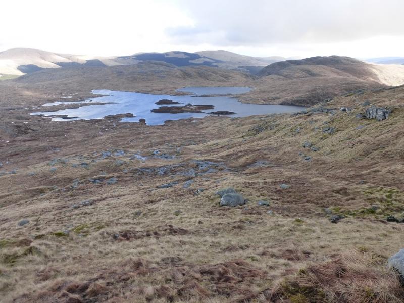
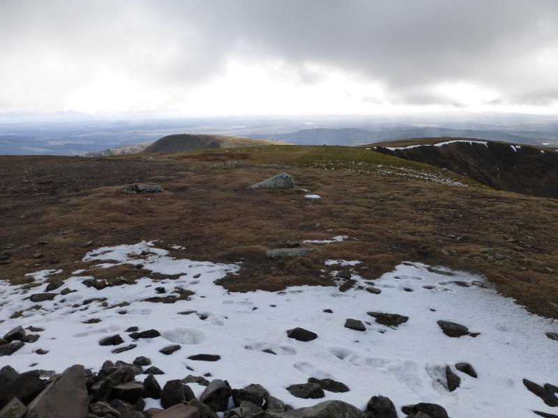
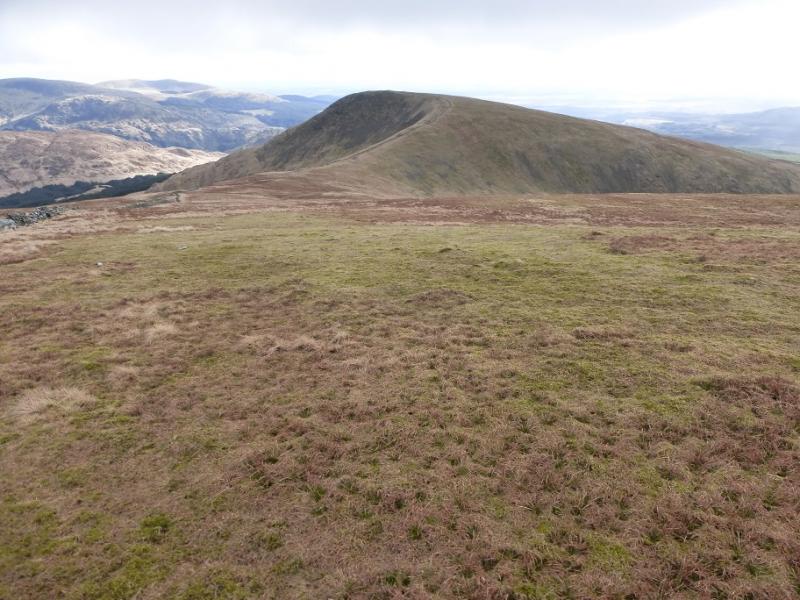
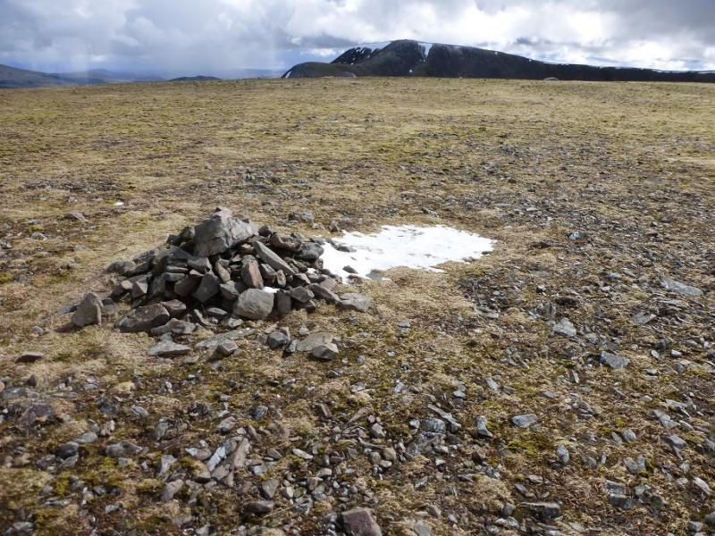
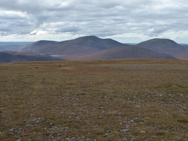
(3) Retrace W for a short distance until one can pick a way to the line, NNW, aiming for the col below the much less rocky Mullwharchar. A path seems to go up the S flank so follow this until it drifts E then continue N up to reach the summit plateau where a medium cairn marks the summit of Mullwharchar, 692 m. There are excellent views E to Carlin's Cairn and Corserine.
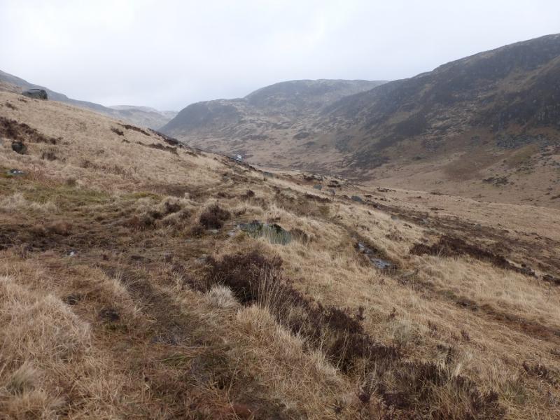
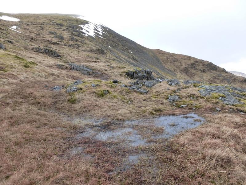
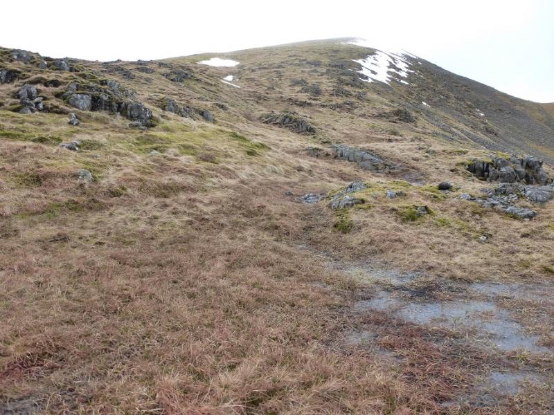
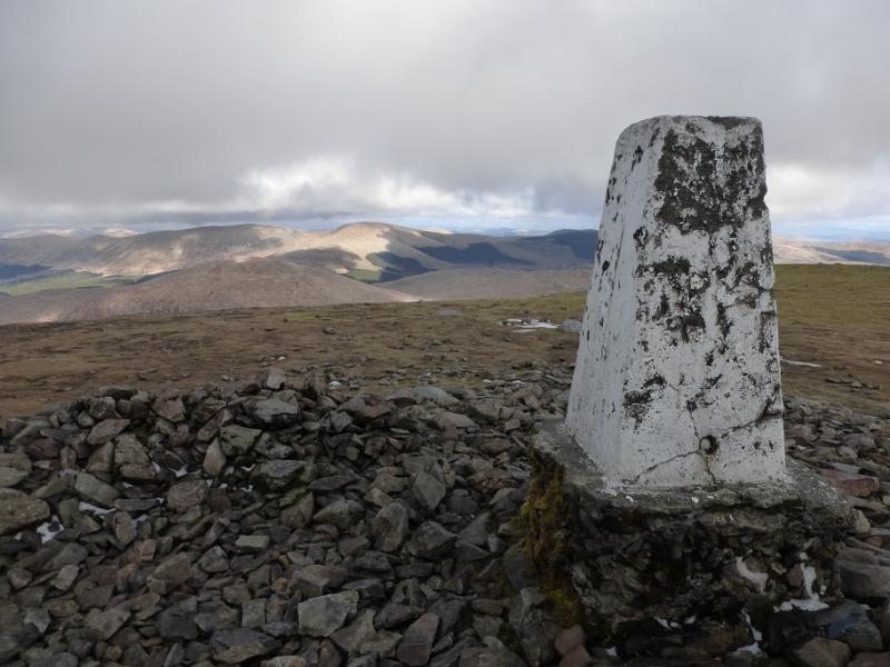
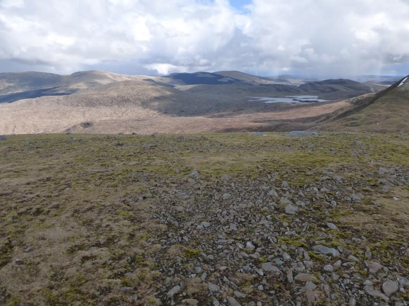
(4) Descend rough but mainly easy slopes, roughly SW, heading for the outflow of Loch Enoch. This may be awkward to cross after rain so use an island, slightly downstream, to ease the crossing. Once across, pick a way across rough and wet ground, heading roughly WSW towards the ESE ridge of The Merrick known as Redstone Rig. Once some height has been gained, the ground improves although it is moderately steep. A line of crags is easily weaved through. Continue up. After about 350 m of ascent from Loch Enoch, the angle finally eases and one can walk across the plateau, keeping to the edge on the right, to the trig point and shelter cairn which marks the summit of The Merrick, 843 m.
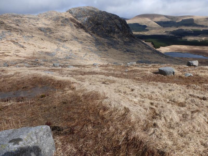
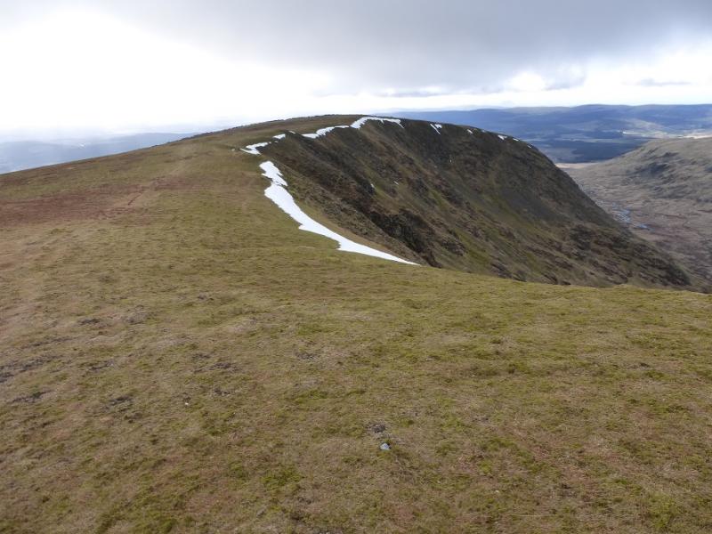
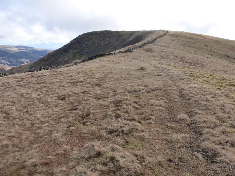
(5) The path SW to Benyellary is very obvious but it is worth walking around the corrie rim to the W top to enjoy the views back to the main summit. This top is uncairned. A wall leads S from it and this can be followed to reach the main path from The Merrick to Benyellary almost in the col. Continue on the path, by the wall, up a narrow, but easy, grassy ridge known as Neive of the Spit. At the highest point of the wall, go E for a short distance to reach the very large cairn which marks the summit of Benyellary, 719 m. There are fine views back to The Merrick.
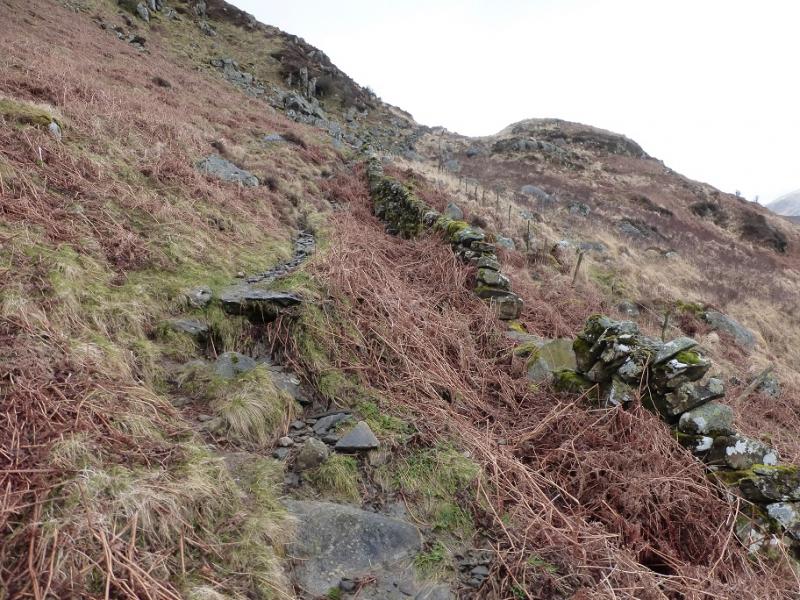
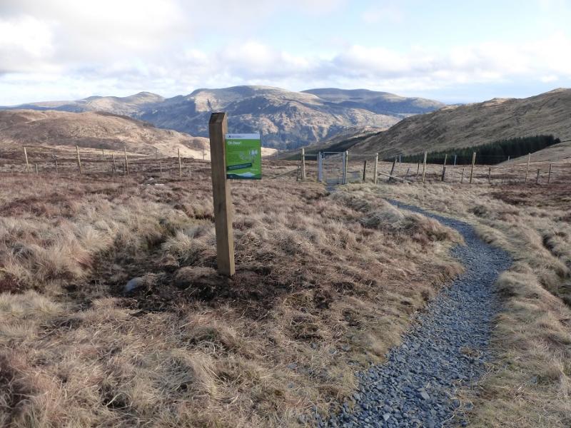
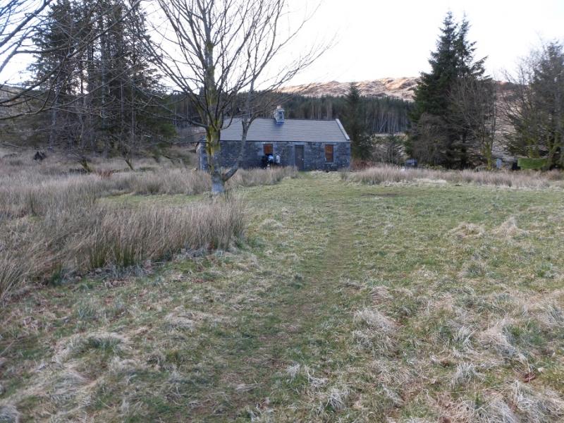
(6) Return to the wall and follow it down, SW. After about 500 m, a much improved path leaves the wall and heads S. Two fences are crossed by gates before entering the forest where the path is much rougher. Emerge onto a track. Turn right, W, cross a bridge then go immediately left onto the path again. Follow this down past Culsharg bothy then almost due S, shadowing the Buchan Burn. This section of path is also rough and can be boggy. The path returns one to the Bruce's Stone car park.
Notes
(a) This walk took place on 28th March, 2016.
(b) Other routes in this area are well described in the excellent “The Grahams and the Donalds” published by the SMC in 2015. This book is the final part of the “trilogy” with “The Munros” and “The Corbetts” being published previously. All of these books are well worth buying.
Photos - Hover over photo for caption. Click on to enlarge. Click on again to reduce.