Get Lost Mountaineering
You are here: Scotland » 00 Galloway and the Borders » Dumfries and Galloway Hills
Lamachan Hill and Millfore from Auchinleck
Lamachan Hill and Millfore from Auchinleck
Start/Finish
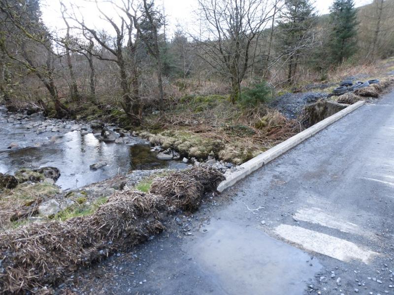
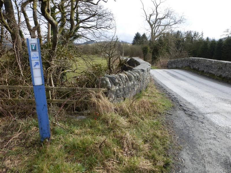
Auchinleck Bridge at NX 448 705. From Newton Stewart, drive to Minigaff then follow the road past Queen Mary's Bridge, New Galloway Lodge, Glenloise and Mattie White's Bridge. The public road ends a few hundred metres past Auchinleck Bridge. The nearest post code seems to be DG8 7AA which puts one on the right road but may try to take you up a rough track after Mattie White's Bridge! The public road goes all the way to the parking spots (room for about 5 cars) at Auchinleck Bridge.
Distance/Time
23 km About 9 hours
Peaks
Larg Hill, 676 m, NX 424 757.
Lamachan Hill, 717 m, NX 435 769.
Curleywee, 674 m, NX 454 769.
Millfore, 656 m, NX 478 754.
OS Explorer sheet 319: Galloway Forest Park South
Introduction
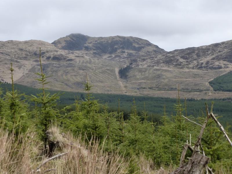
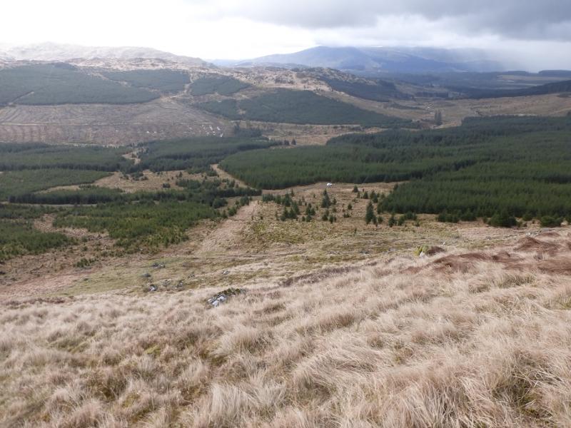
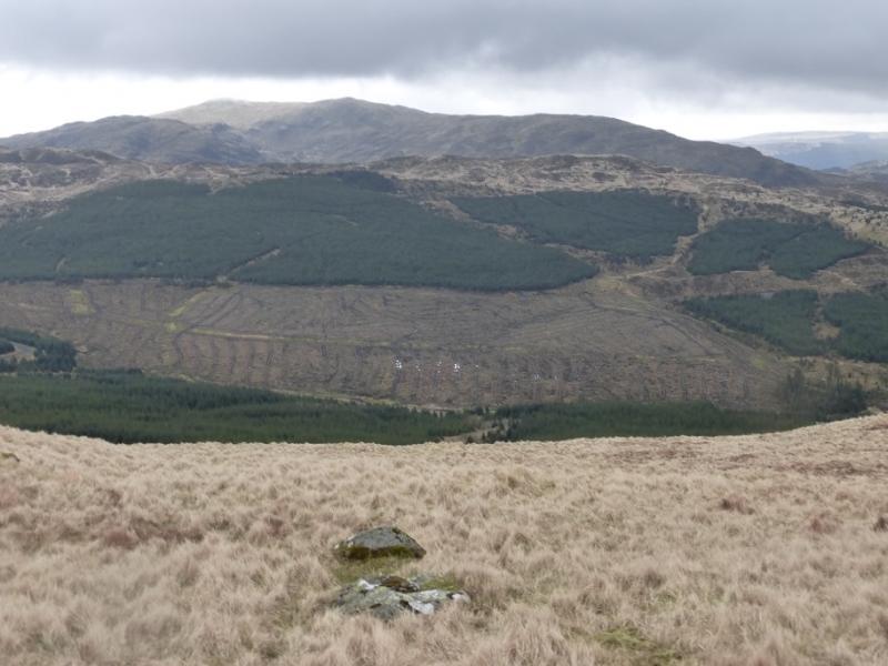
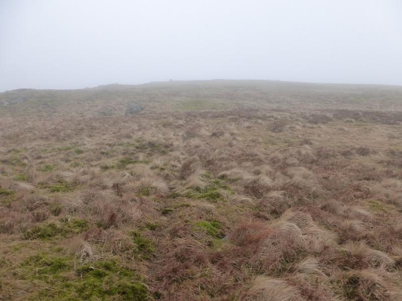
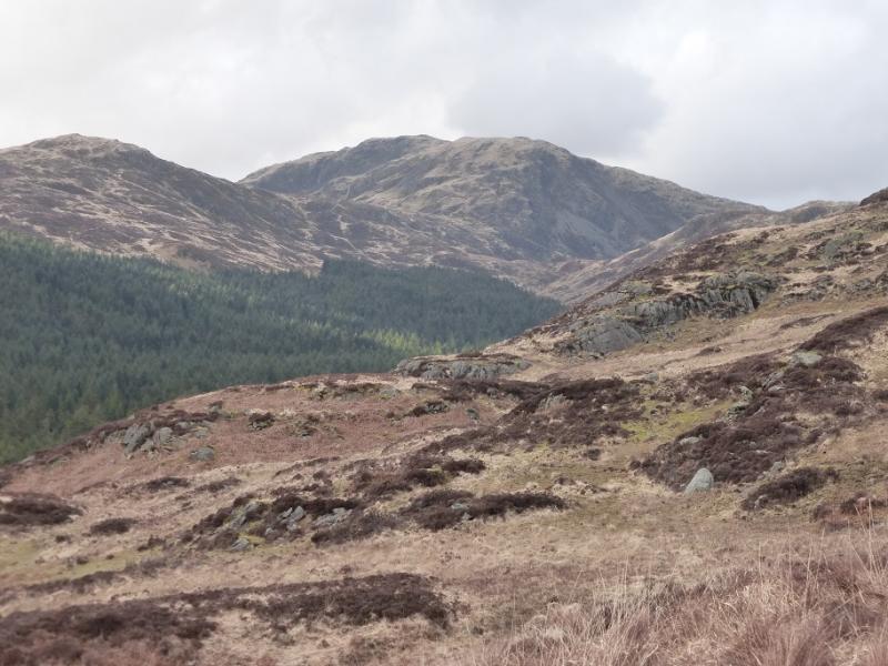
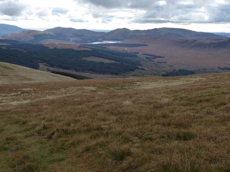
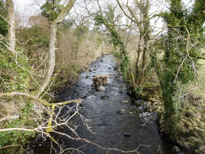
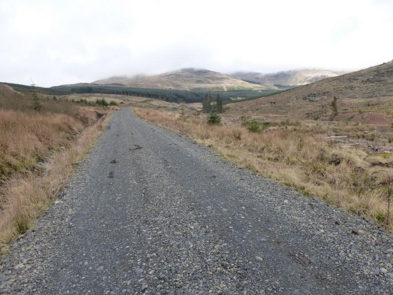
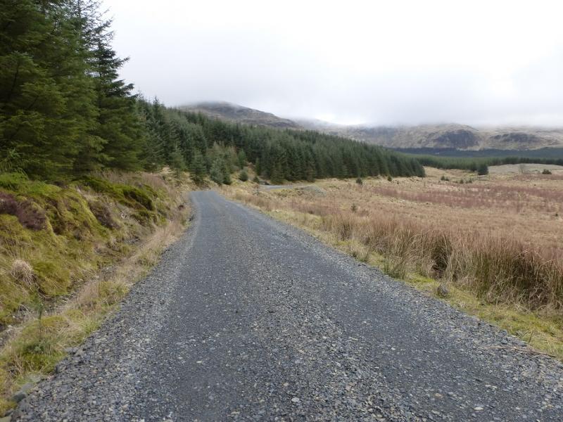
Most guides access these hills from Glen Trool to the north but this route is from the south which gives a more natural horseshoe with little retracing of the outward route. Navigation is fairly straightforward apart from between Curleywee and Millfore where it would be very tricky in mist especially on the ascent of Millfore. There are fine views north to the Craignaw, The Merrick and Corserine ranges and to the Cairnsmore of Fleet to the south. The ground can be rough in places but is not too bad and there are paths or tracks for much of the route. One could cycle for about 2 km up the Penkiln Burn track but this would only save about 4 km of walking. Curleywee is the finest peak in the range and some might say the finest in the area. The Pulnee Burn has to be crossed on the return and this may be awkward after rain.
Route
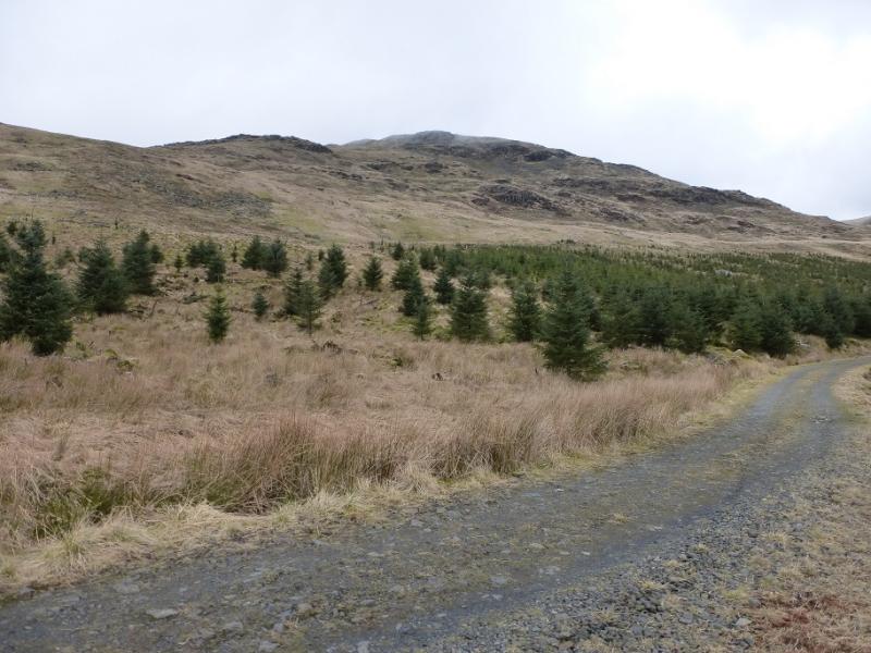
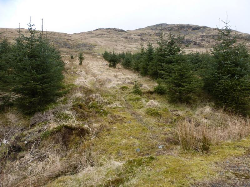
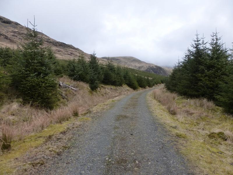
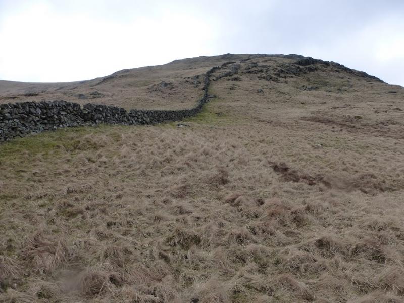
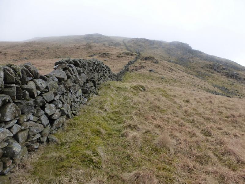
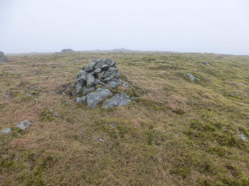
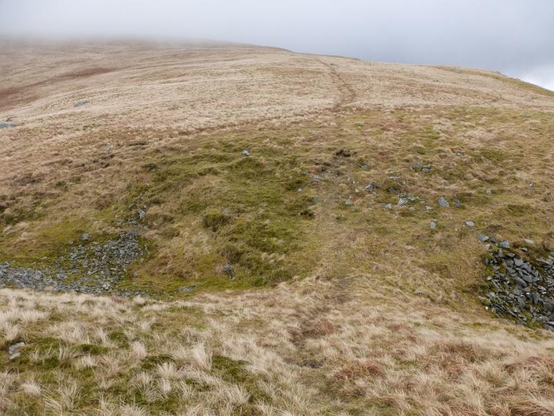
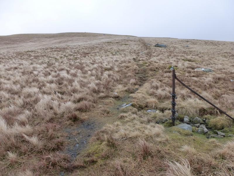
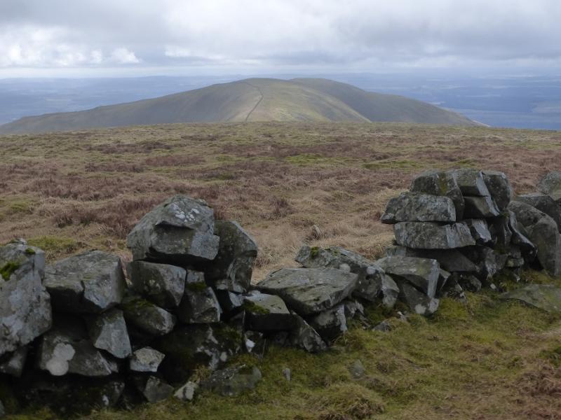
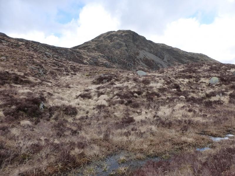
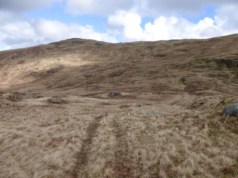
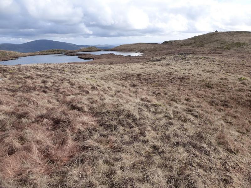
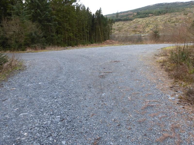
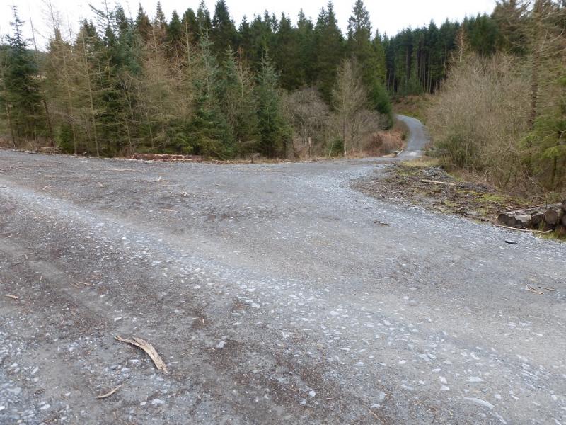
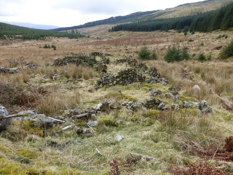
(1) From Auchinleck Bridge, walk up the obvious track which starts from the parking spots. Further on, it converges with the Penkiln Burn (which flows under Auchinleck Bridge). After about 2 km, note a track going off right to a bridge. This may not be shown on your map but will be used on the return. Continue for about another 3 km to reach the old ruins at Lamachan. Only the walls are left now and this could easily be missed leaving an extra 3 km along the track. Opposite Lamachan, on the left of the track, is a clearing. Take the more northerly firebreak which the map shows as curving round to rejoin the track after about 500 m. It is rough in the firebreak but there is a faint path and soon the track is rejoined. Turn right and, almost immediately, a faint path leads up the hillside. Follow this up. It can be difficult to follow once above the forestry. A fence is crossed. Continue up. The ground can be steep but the angle can be eased by drifting left and soon the wall on S ridge of Larg Hill is reached. Follow the wall up. When the angle eases, reach a wall junction. Cross the wall and go almost due N to reach two cairns not far apart. It is difficult to tell which is the higher so visit both to claim the summit of Larg Hill, 676 m.
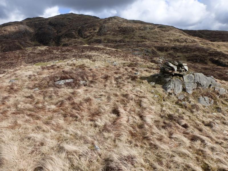
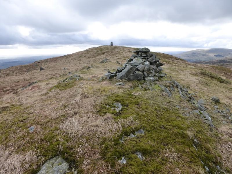
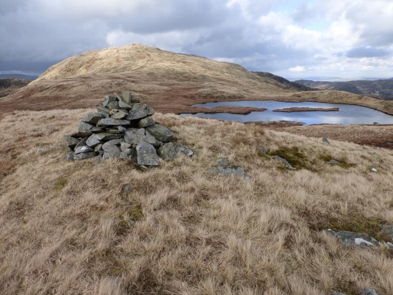
(2) A path leads N/NE along the crest and soon rejoins the wall before descending to a col known as Nick of the Brushy which has a “trench” in it. The continuation of the path is obvious and follows a line of old fence posts NE then N up Lamachan Hill. When the angle eases, reach a wall where there is a cairn and shelter cairn which mark the summit of Lamachan Hill, 717 m.
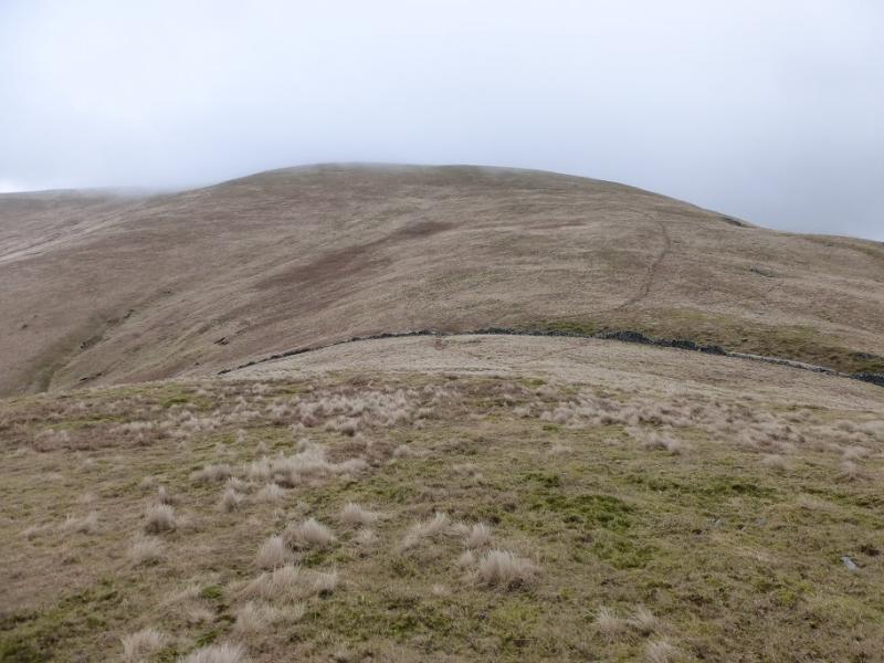
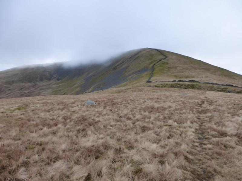
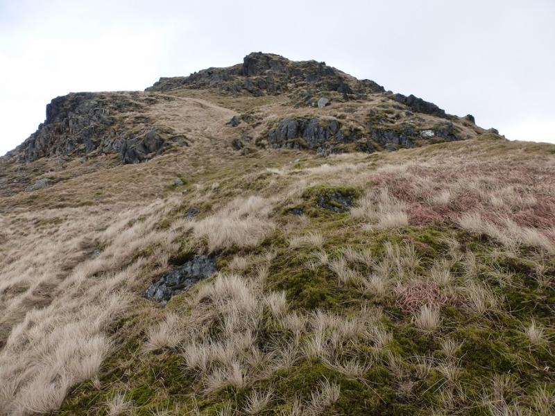
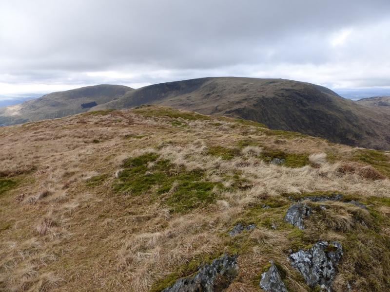
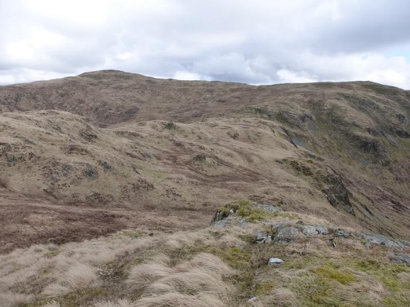
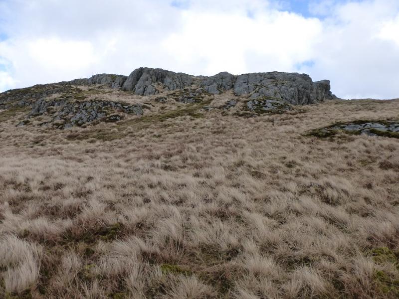
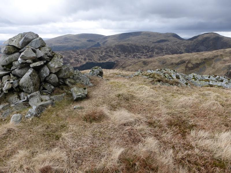
(3) The line of fence posts goes NE then ENE descending to a shallow col then ascending to Bennanbrack where there is a cairn on the summit. From here, the fence posts go down the ESE ridge although some will want to keep left of thie fence posts where the ground can be easier. There are a few minor tops on this ridge which can be by passed by a traverse path on the left. Reach the obvious col below Curleywee and cross an old wall. There seem to be two paths. One drifts round to the N then ascends the N ridge, the other heads up slightly to the right of a direct ascent. The latter route can be steep in places whereas the former is longer but less steep. After about 120 m of ascent, reach the medium cairn which marks the summit of Curleywee, 674 m. In clear weather, try to pick out a route up the complicated ridge to Millfore.
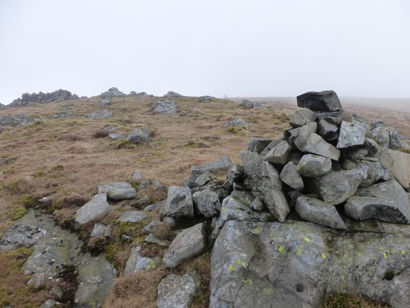
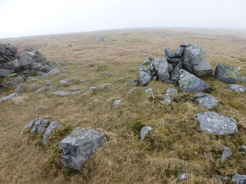
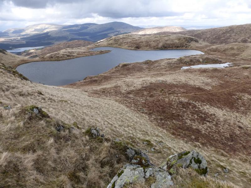
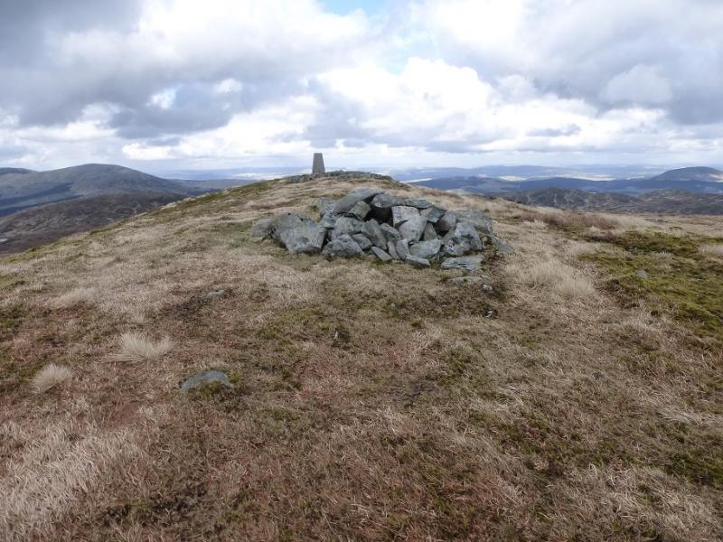
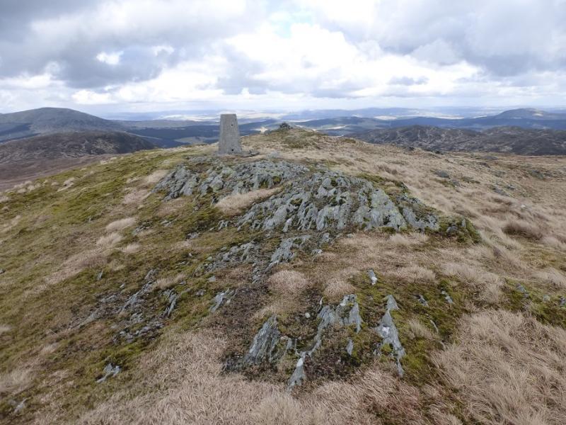
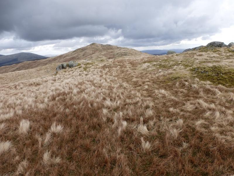
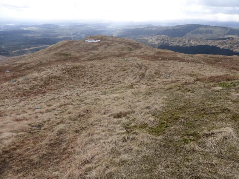
(4) Descend SSE, easily at first before the ground steepens when one continues S – there is a faint path in places. Take care on this descent. Reach a wall and follow it down towards a col. Leave it when it drifts right and continue down to a fence with a “gate” in it. Soon reach a rough track. Cross over and start picking a way up the complicated ridge leading to Red Gairy. There are many minor tops on this ridge – some are cairned – leading to much gain and loss of height. The highest such top is Gairy of Pulnee which is close to the distinctive White Lochan of Drighorn. By now an ATV track may have been spotted and this can be followed up onto the crest SW of the summit. To gain the summit more directly, the track can be left and a faint path followed to below the crags to the W of the summit then up onto the crest. The narrow grassy crest has a medium cairn and trig point which mark the summit of Millfore, 656 m. There is a lower cairn a little further to the N.
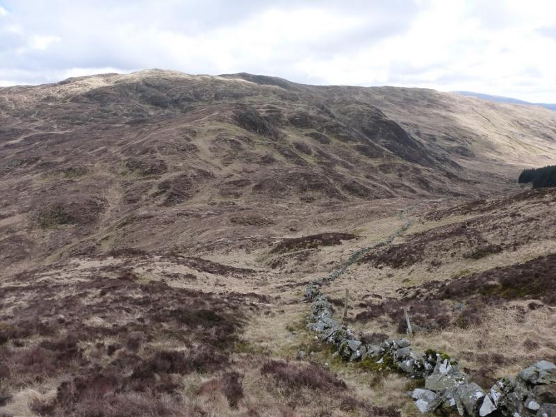
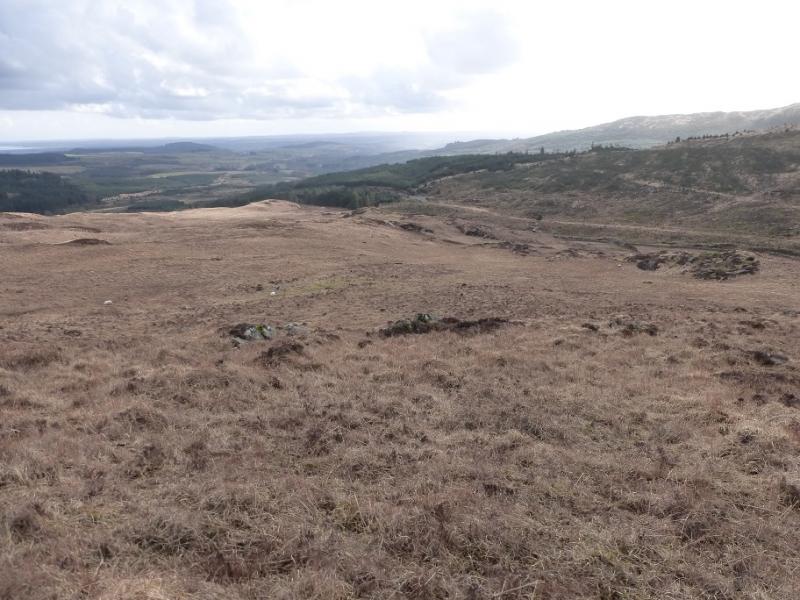
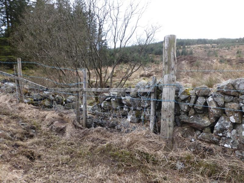
(5) Follow the crest SW to the cairned SW top. Continue, following the ATV track, down to Drigmorn Hill passing the lochan naed as Fuffock en route. Continue descending, still on the ATV track. Leave it lower down, near a cairned top, when it drifts off S. Aim for the Pulnee Burn where it enters the forest. In clear weather, the track about 100 m across the Burn will be seen. Aim to cross as close to this as possible. In mist, it may be necessary to pick up the burn further upstream so as not to miss the crossing. There is a wall before the stream which is unpleasantly guarded by triple strands of barbed wire. However, just before the stream enters the forest, there is a weakness where a short section of fence fills in a broken section of wall. Cross here (with difficulty after rain) then slowly and carefully pick a way through about 100 m of felled forest on wet and boggy ground. Soon reach the track. Follow this. Reach a T junction. Go left and soon cross the bridge to reach the outward track which leads back to Auchinleck Bridge.
Notes
(a) This walk took place on 29th March, 2016.
(b) Other routes are well described in the excellent “The Grahams and the Donalds” published by the SMC in 2015. This book is the final part of the “trilogy” with “The Munros” and “The Corbetts” being published previously. All of these books are well worth buying.
Photos - Hover over photo for caption. Click on to enlarge. Click on again to reduce.

![]()