Get Lost Mountaineering
You are here: Scotland » 00 Galloway and the Borders » Dumfries and Galloway Hills
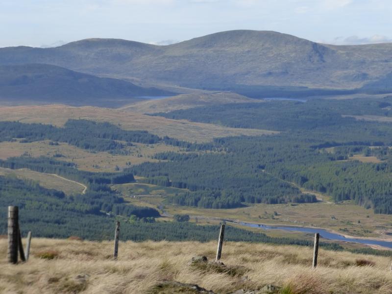
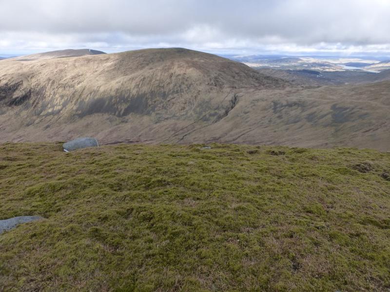
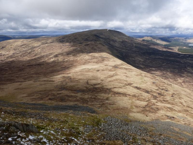
Tarfessock and Kirriereoch Hill from Kirriereoch
Tarfessock and Kirriereoch Hill from Kirriereoch
Start/Finish
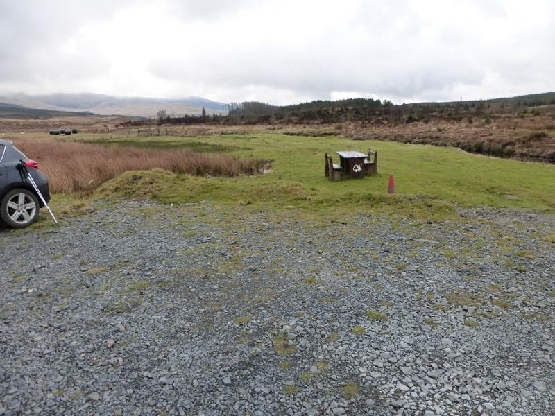
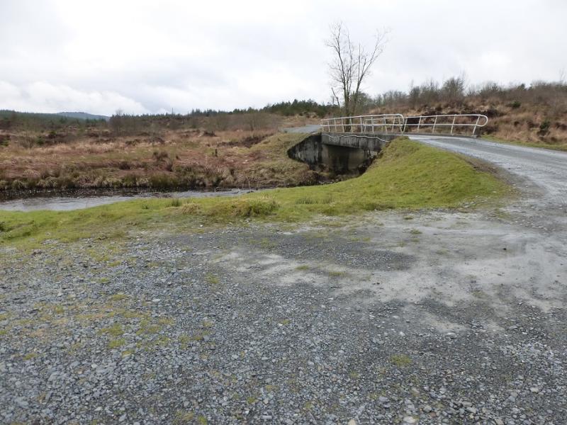
Kirriereoch picnic site (one picnic table!) at NX 361 887. This lies off the minor road between Glentrool Village and the Carrick Pass to Straiton and Kirkmichael. The turning for the picnic site is about 5 miles north of Glentrool Village and about 2.5 miles south of the road junction at Rownatree Bridge. The entrance to the track for the picnic site is well signed. It is a short distance along the track from the road to the bridge over the Water of Minnoch with the picnic site just beyond. There is parking for several cars.
Distance/Time
16 km About 6 hours
Peaks
Tarfessock, 697 m, NX 409 891.
Tarfessock South Top, 620 m, NX 413 886.
Kirriereoch Hill, 786 m, NX 420 870.
OS Explorer sheet 318: Galloway Forest Park South.
Introduction
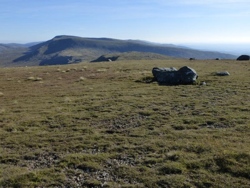
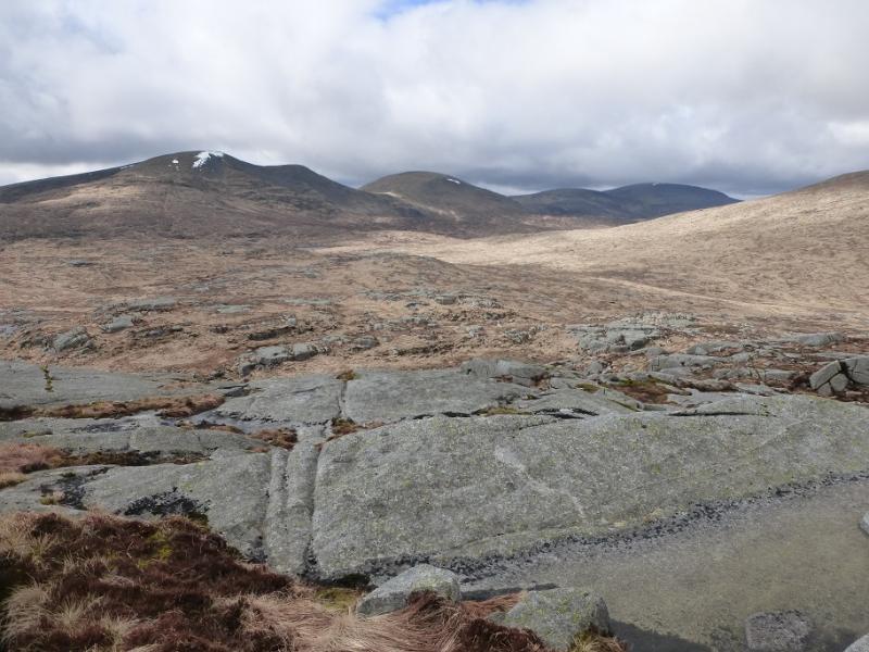
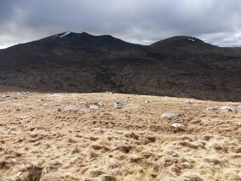
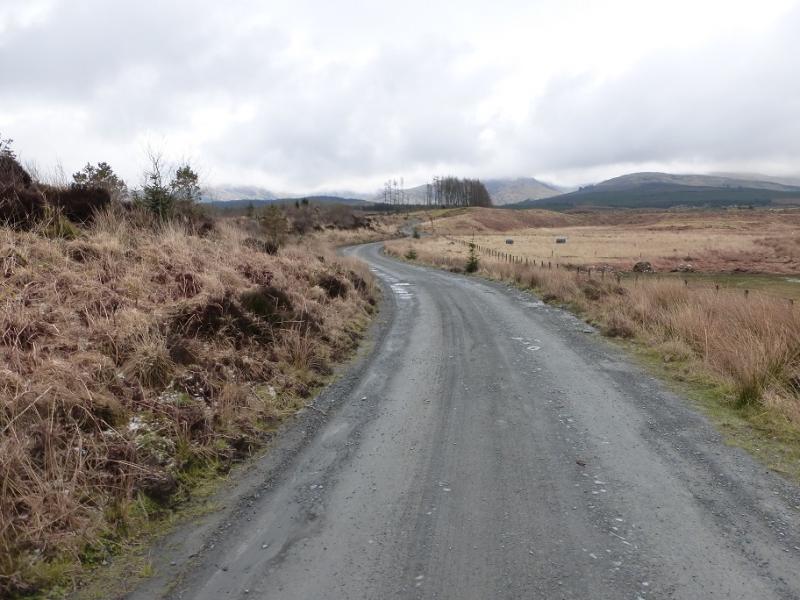
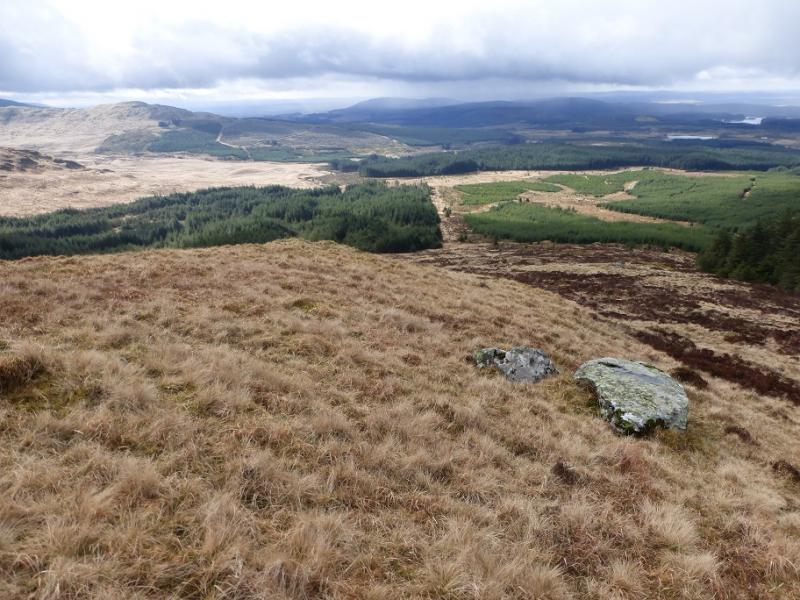
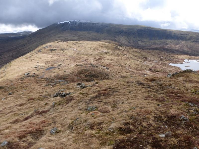
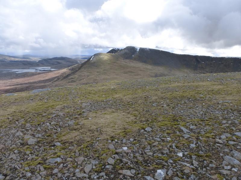
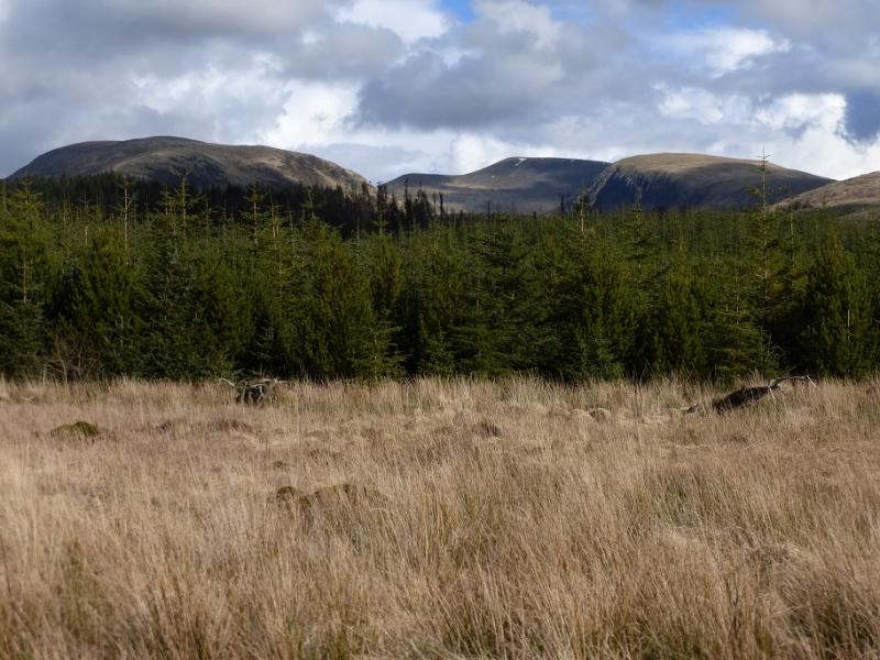
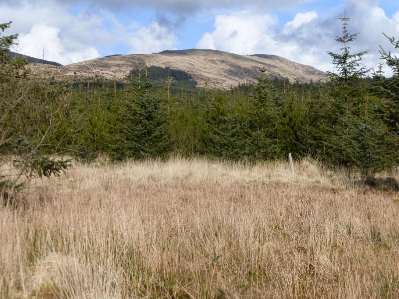
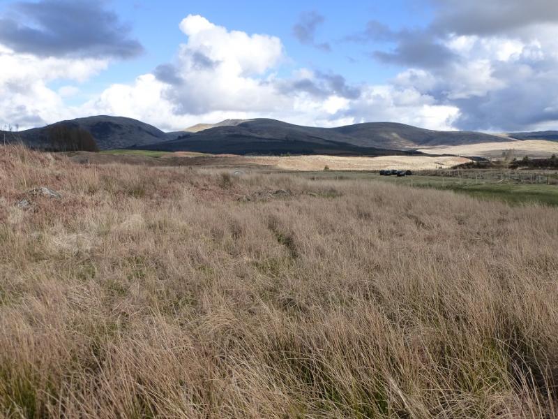
This is a pleasant horseshoe with good tracks and paths for much of the way although there is a short but very boggy section to regain the track on the return. Getting over the Cross Burn may be awkward after rain. The ascent of Kirriereoch Hill is very steep and will trouble many if under snow. There are excellent views to Shalloch on Minnoch, Merrick, Mullwharchar, Craignaw and the Corserine range. The unique island of Ailsa Craig will also be seen on a clear day. A bicycle could be used to cycle to the end of the track which saves about 8 km of walking. The ascent is not too steep.
Route
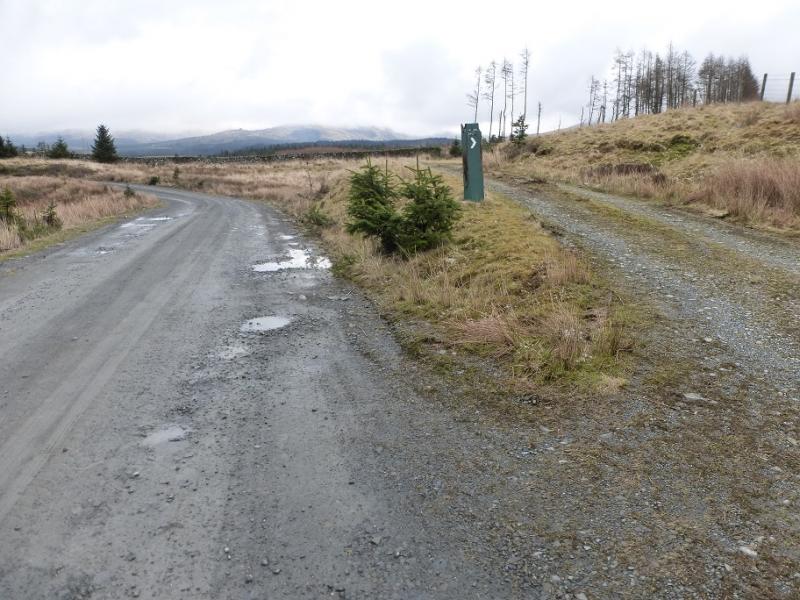
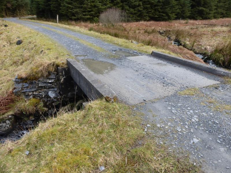
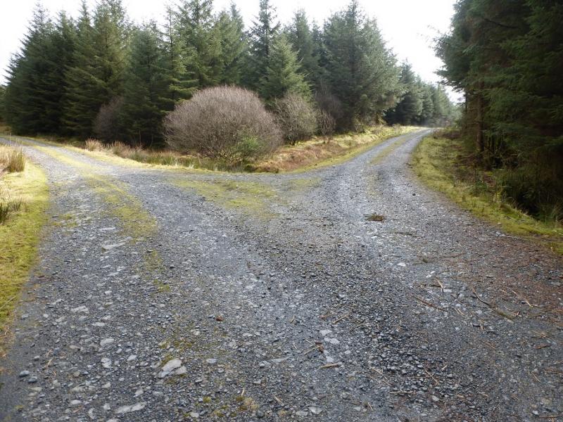
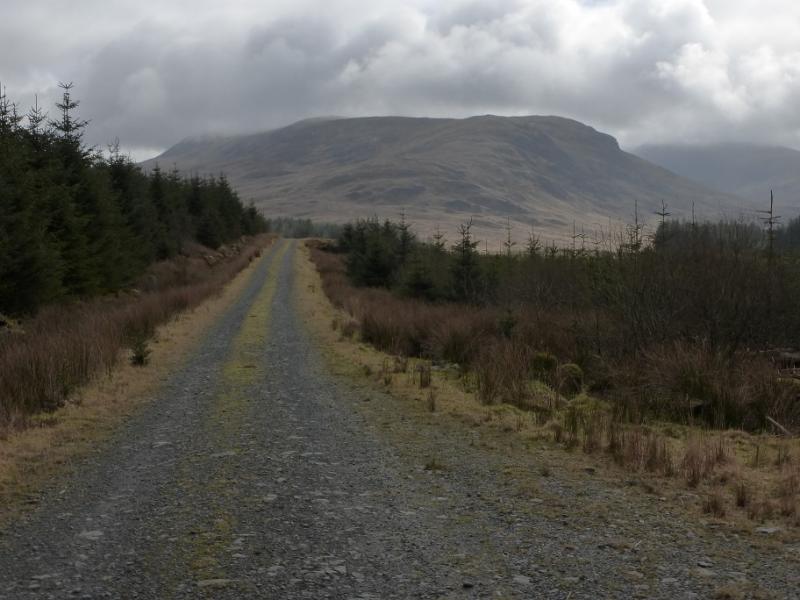
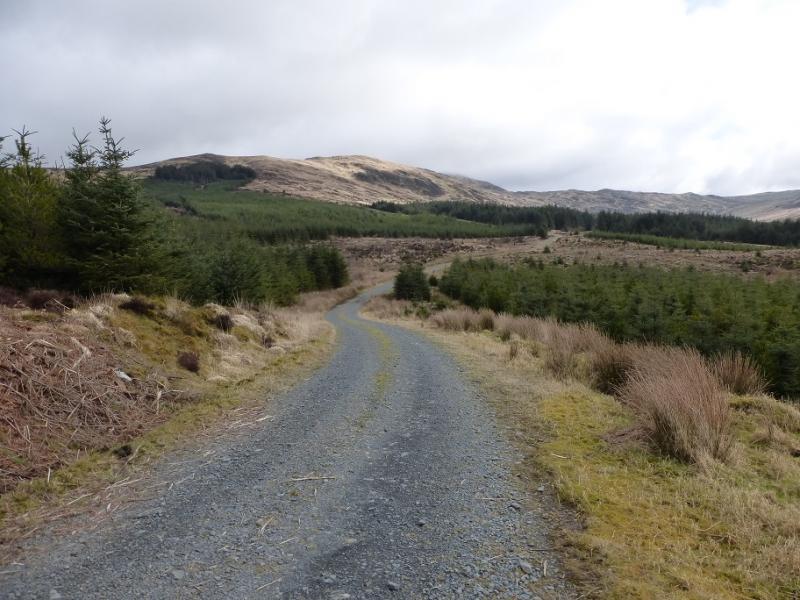
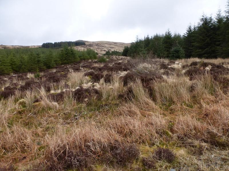
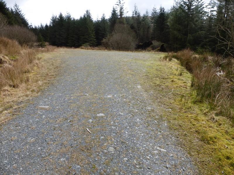
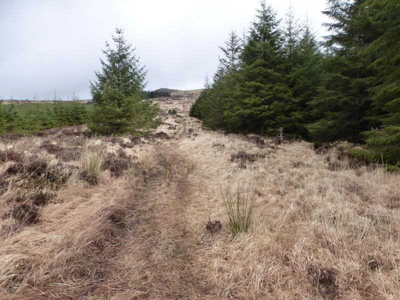
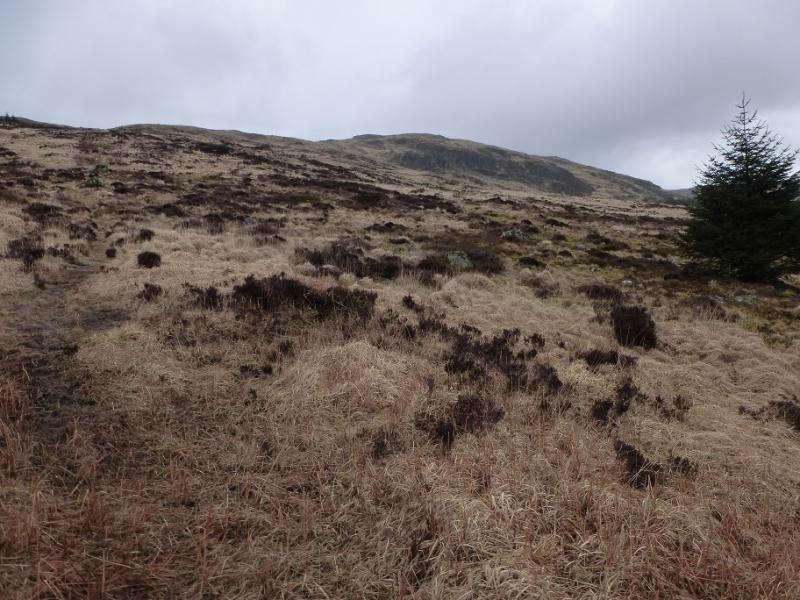
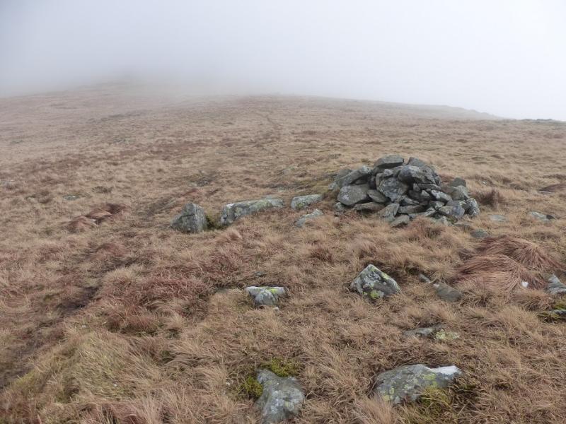
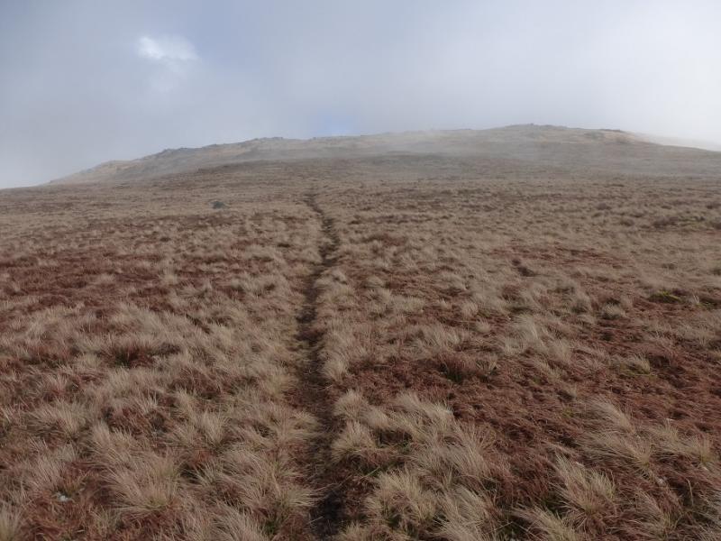
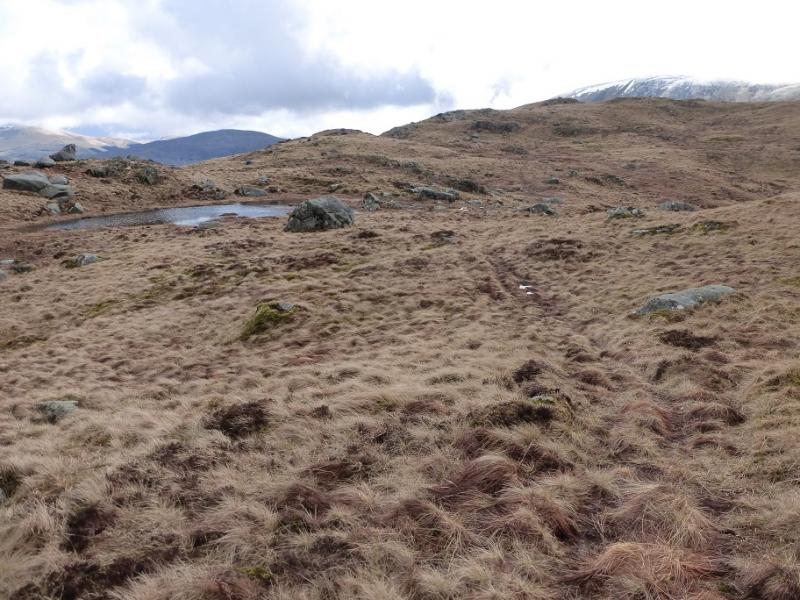
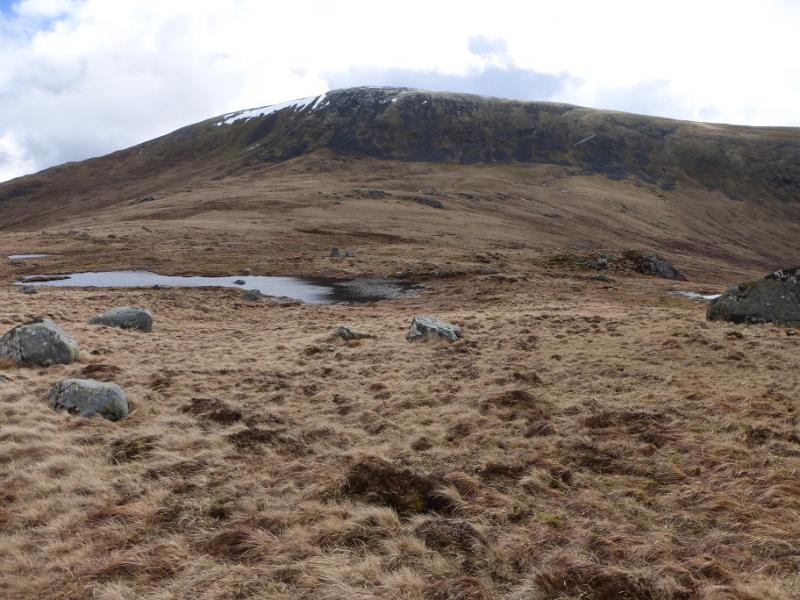
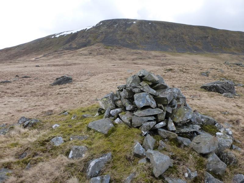
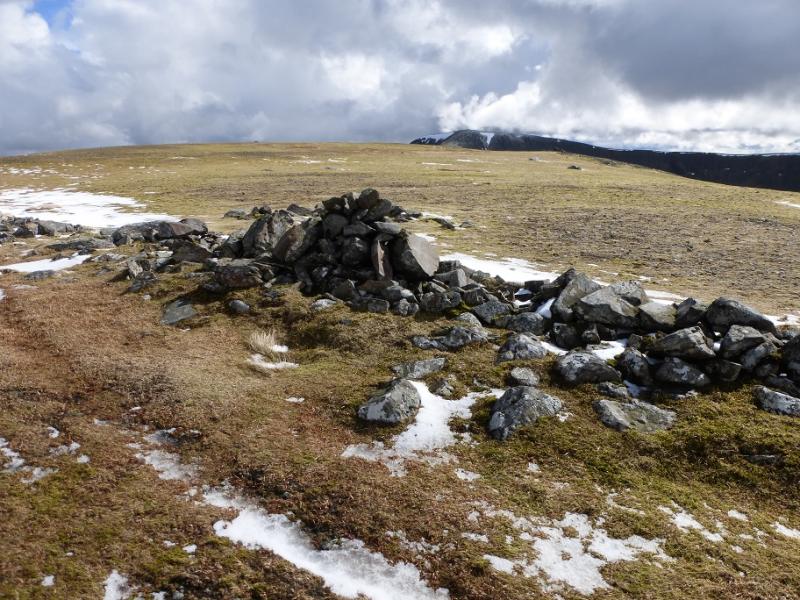
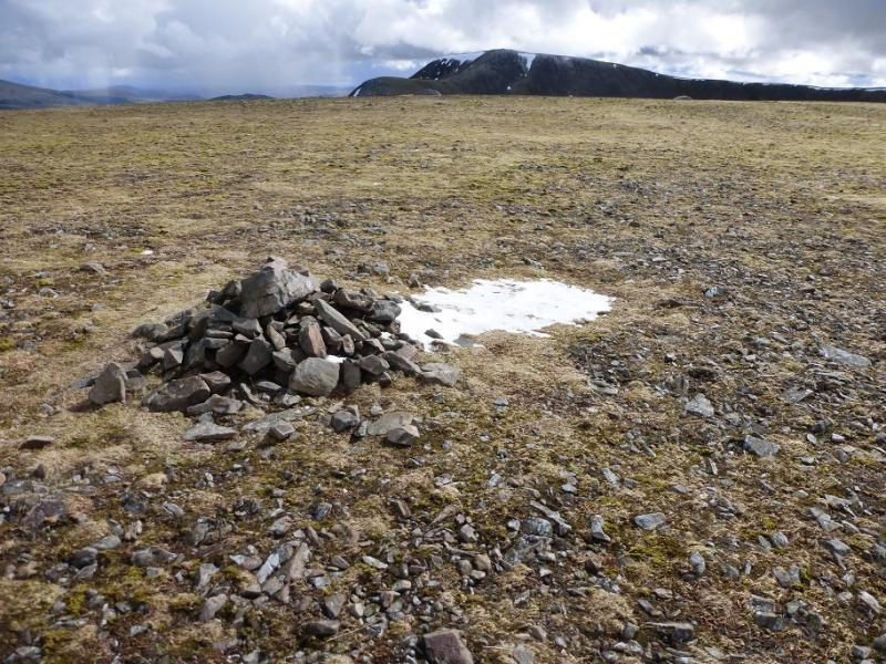
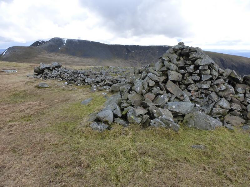
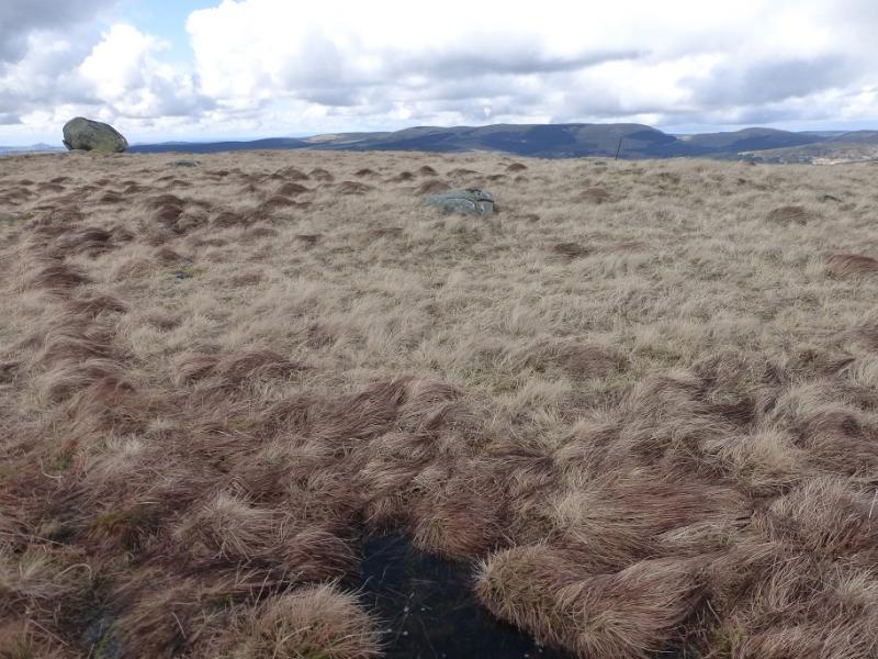
(1) Continue along the track to pass the end of the track leading to Kirriereoch Farm. About 300 m further, ignore the track on the right (leads towards Merrick). A bit further, ignore the track on the left and continue on the main track which soon ascends and crosses the flat bridge over the Pillow Burn. Continue and soon reach a junction. Take the right fork and follow the track to its end. There is a clearing both on the left, above the track, and on the right, below the track. The clearing below will be used on the return. About 20 m before the end of the track, on the left, a faint path goes uphill just to the left of the trees. There is now no fence post as described in the SMC guide (see below) but higher up there is a line of old fence posts. Ascend this path towards the W ridge of Tarfessock. Higher up, the fence drifts to the right although one could continue ahead to reach a minor top with a finger cairn on top. Follow the crest eastwards. There is a path but it can be difficult to follow in place. There is a cairn aon the crest and another to its N near some outcrops. If in doubt, stay on the centre of the crest to reach the medium cairn which marks the summit of Tarfessock, 697 m.
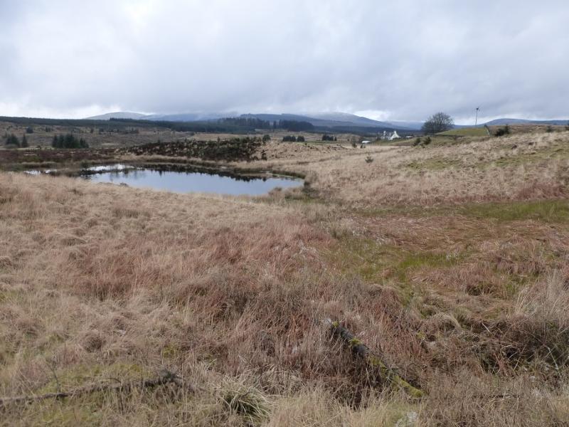
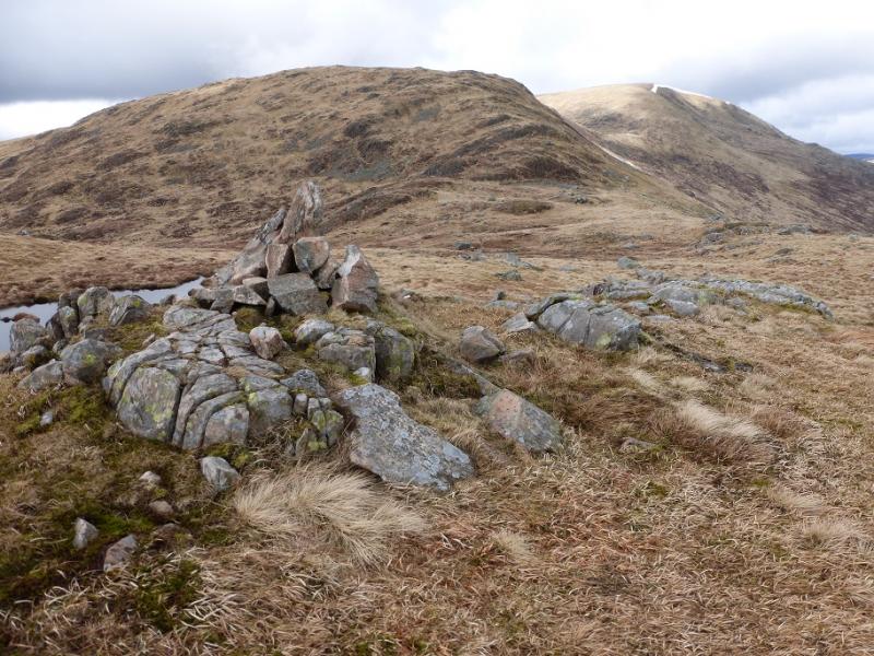
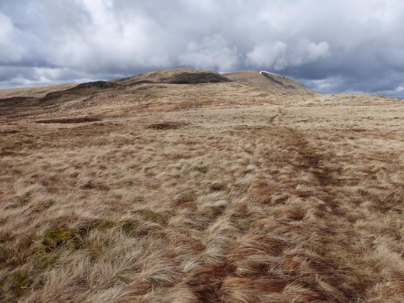
(2) Descend S to SSE along a complicated ridge studded with lochans. There is a path but, surprisingly, it is not that easy to follow. Reach a dip then follow the path up to a medium cairn which is the summit of Tarfessock South Top, 620 m.
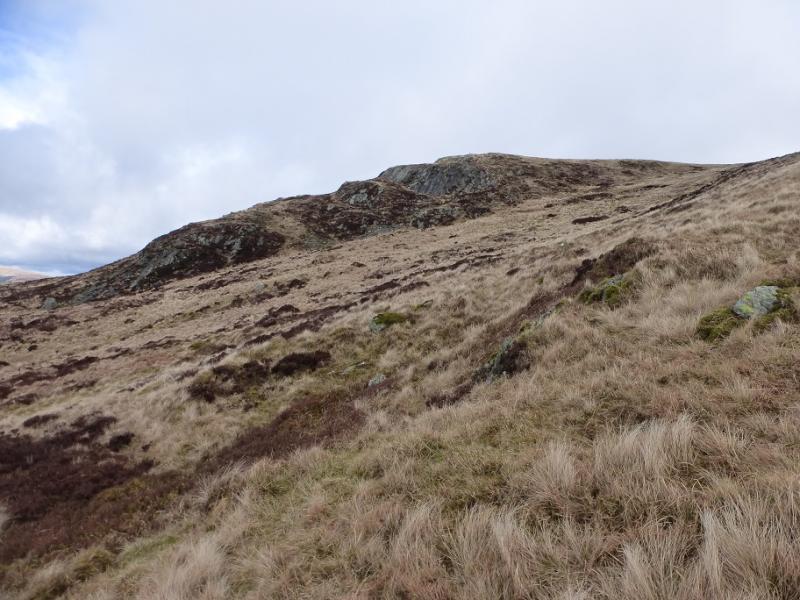
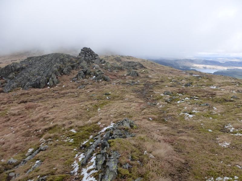
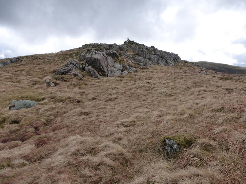
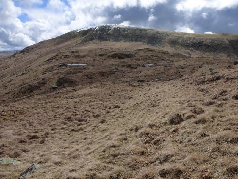
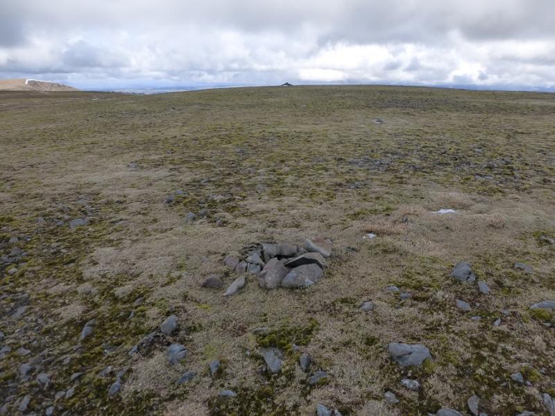
(3) Continue, past many more lochans, to reach a col and a fence. Cross the fence – no stile but quite easy. Ascend a minor top with a cairn on it then continue to the foot of the steep slopes of Kirriereoch Hill. These are a mixture of large scree and grass. The faint path guides one up the lower section after which there is no obvious single route. It is easier on the grass but some of the rocks give reassuring hand holds on the steep ground. The grass will be slippery when wet and thin snow may hide slippery rocks. The best overall line seems to be up the outside corner, well seen on the approach from Tarfessock. If taken slowly, the ascent presents no real difficulties and would not even rate as a scramble. Eventually, the angle eases and one continues to reach a wall with a cairn next to it. This is not the summit. Continue over the wall heading SE for about 180 m to reach a small cairn with an even smaller cairn (may not be noticed) further to the E. These are the highest points on Kirriereoch Hill, 786 m. Note that the largest cairn lies more to the W and is clearly lower.
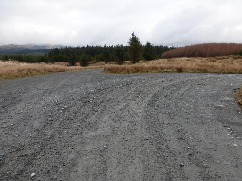
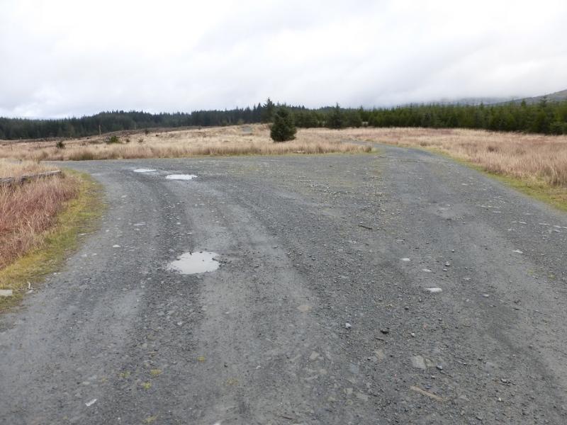
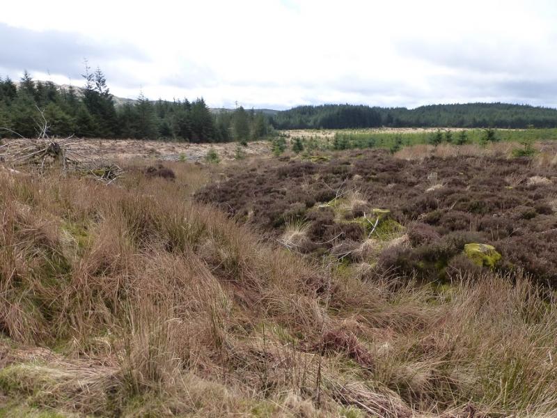
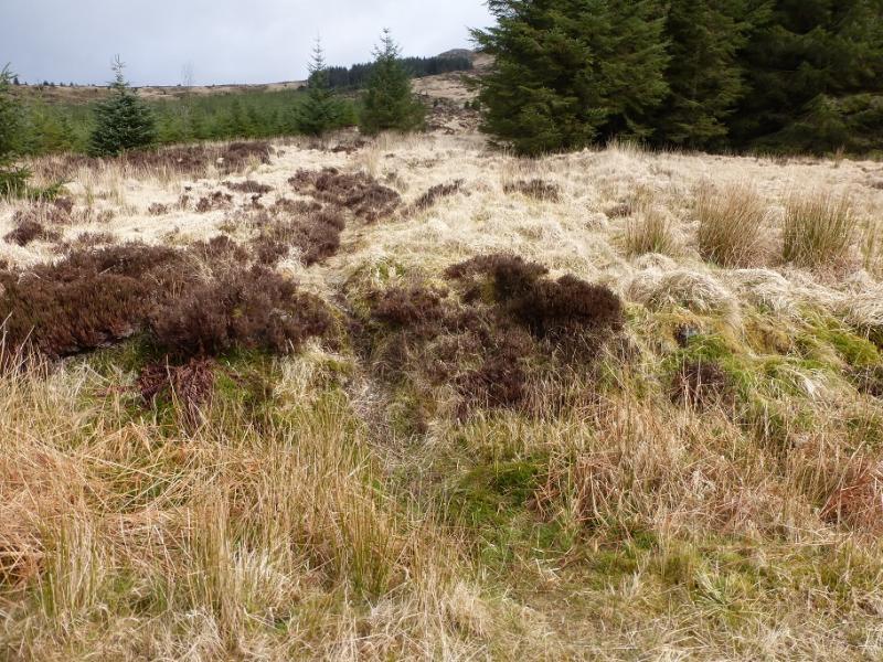
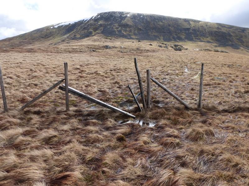
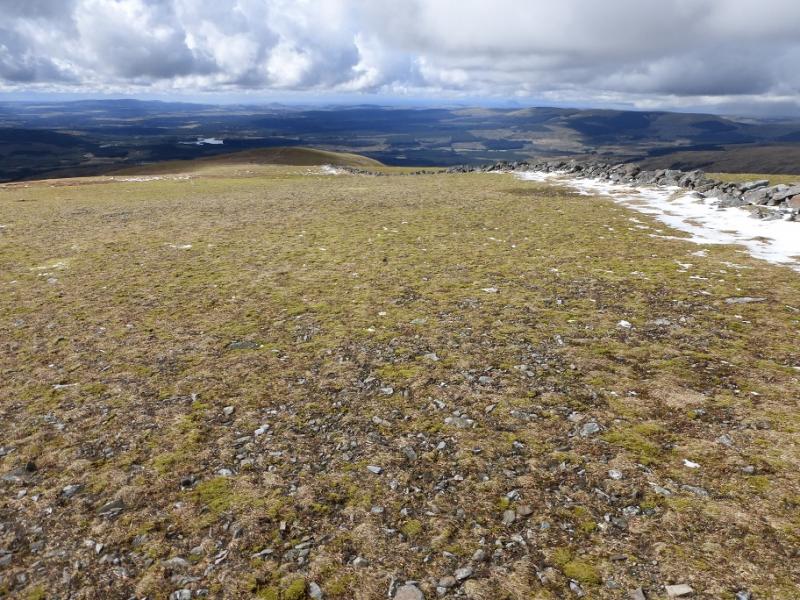
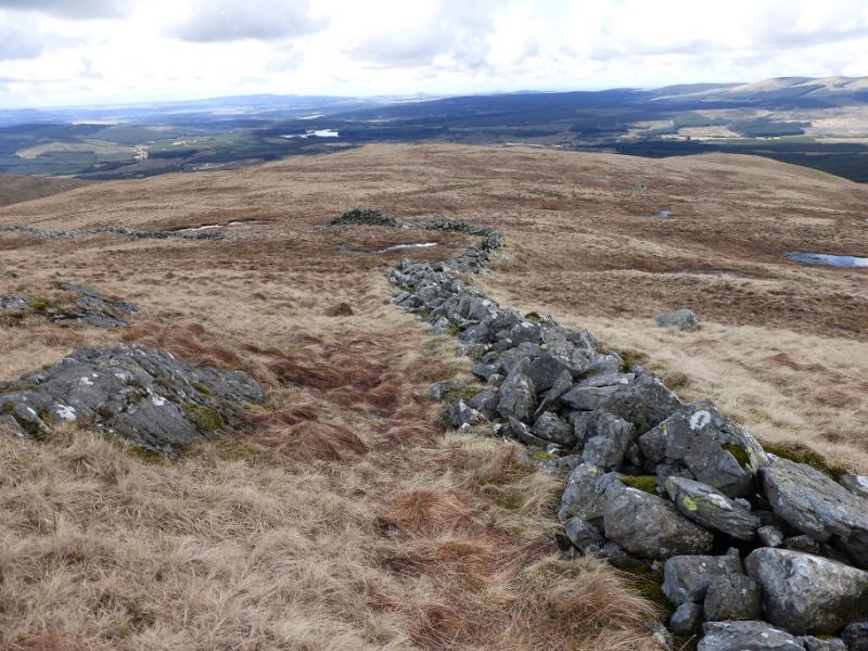
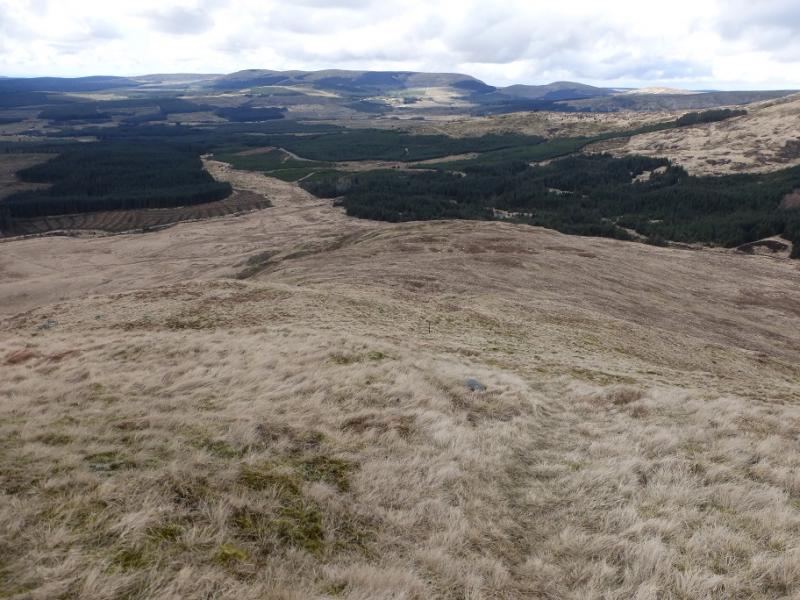
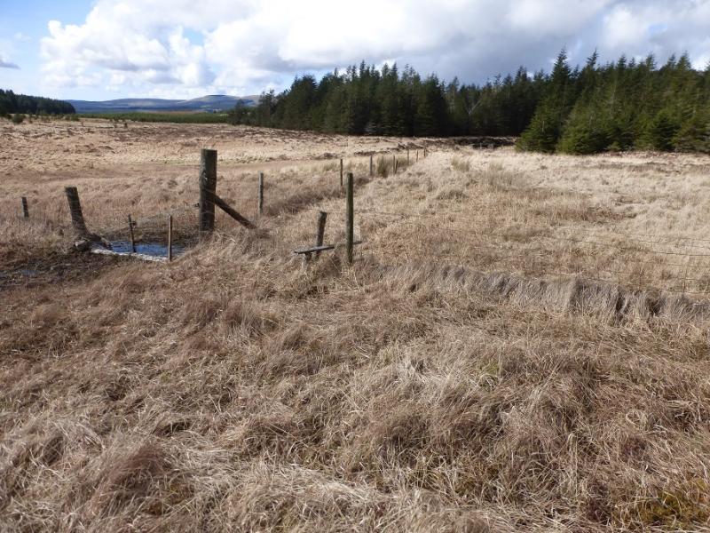
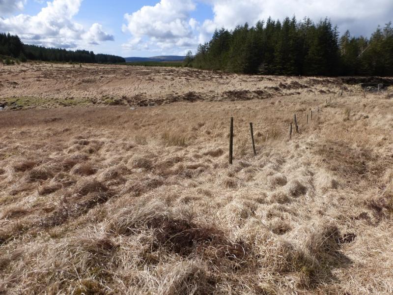
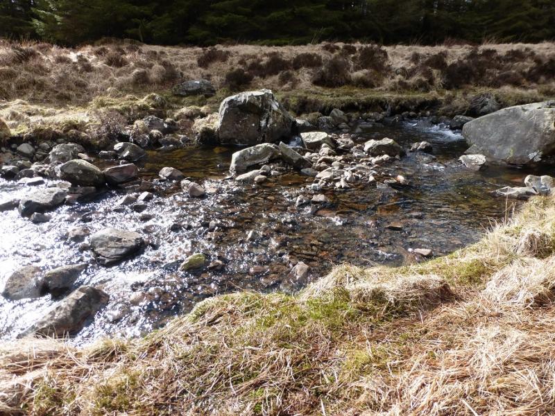
(4) Walk to the largest cairn then drift back to the wall and follow it down the W ridge for about 2 km until it turns left, S. Continue ahead, following a line of old fence posts until these drift right just before a solitary boulder known as the Carnirock Stone. Continue following the fence posts which lead down towards the forest. Reach an intact fence just before the forest and follow it left, W, to reach an old and simple stile. Cross over and follow a rough, wet path by another fence on the left. Follow this to reach the Cross Burn and cross over then rejoin the side of the fence, with the forestry on the right, for about 300 m, until the gap in the forest is reached. The ground can be very wet and boggy here with much moss so tread carefully. There is a faint path up the right hand side of the gap close to the trees and this leads to the end of the main track. Follow this back to the start.
Notes
(a) This walk took place on 30th March, 2016.
(b) Other routes are well described in the excellent “The Grahams and the Donalds” published by the SMC in 2015. This book is the final part of the “trilogy” with “The Munros” and “The Corbetts” being published previously. All of these books are well worth buying.
Photos - Hover over photo for caption. Click on to enlarge. Click on again to reduce.