Get Lost Mountaineering
You are here: Scotland » 06 Drumochter to Glen Shee » Tarf & Tilt Hills to Glen Tromie
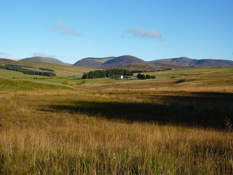
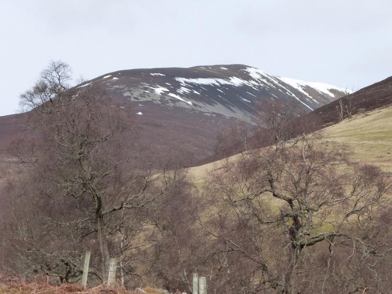
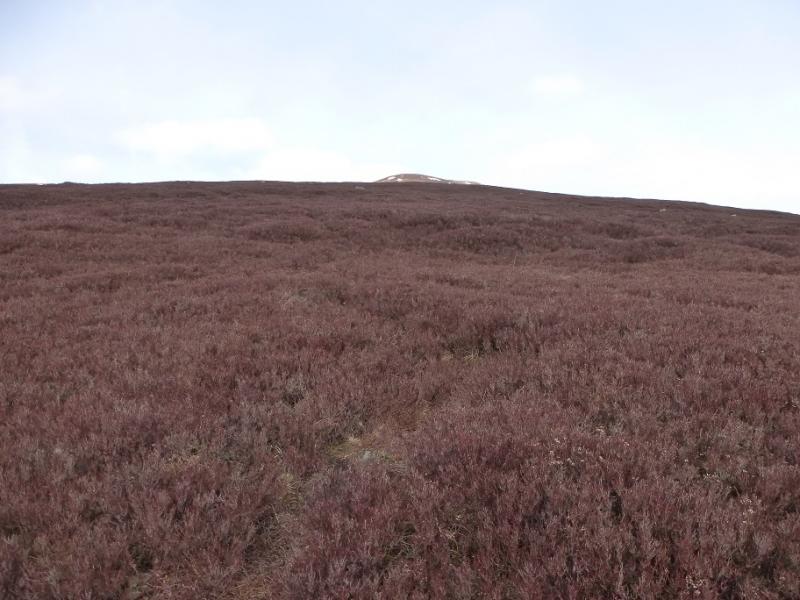
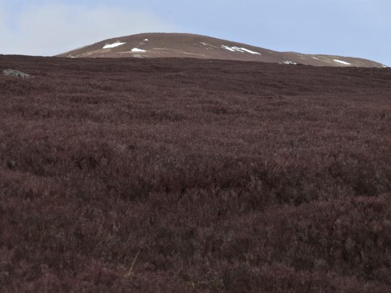
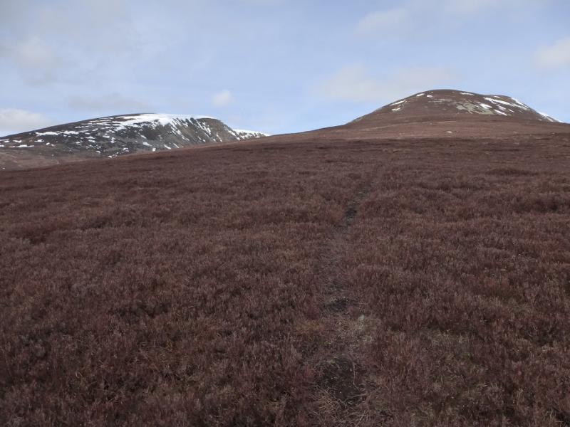
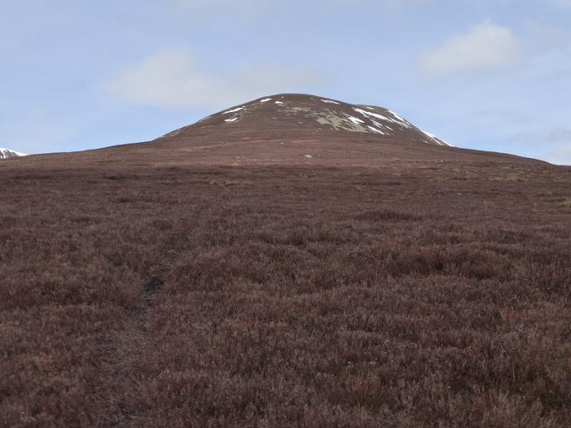
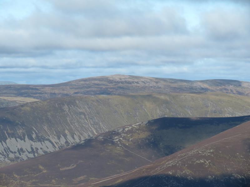
Beinn Mheadhonach from Blair Atholl
Beinn Mheadhonach from Blair Atholl
Start/Finish
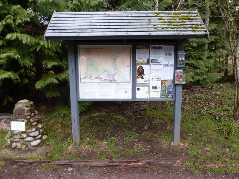
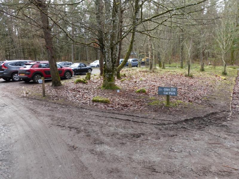
Car park just after the Old Bridge of Tilt between Blair Atholl and Old Blair. From the centre of Blair Atholl, take the minor road on the E side of the Bridge of Tilt and follow the signs to the car park where there is also a useful information board.
Distance/Time
20 km bike of which 10 km could be cycled.
About 5 – 6 hours with bike, 6 – 7 hours on foot.
Peaks
Beinn Mheadhonach, 901 m, NN 880 758. OS sheet 43.
Introduction
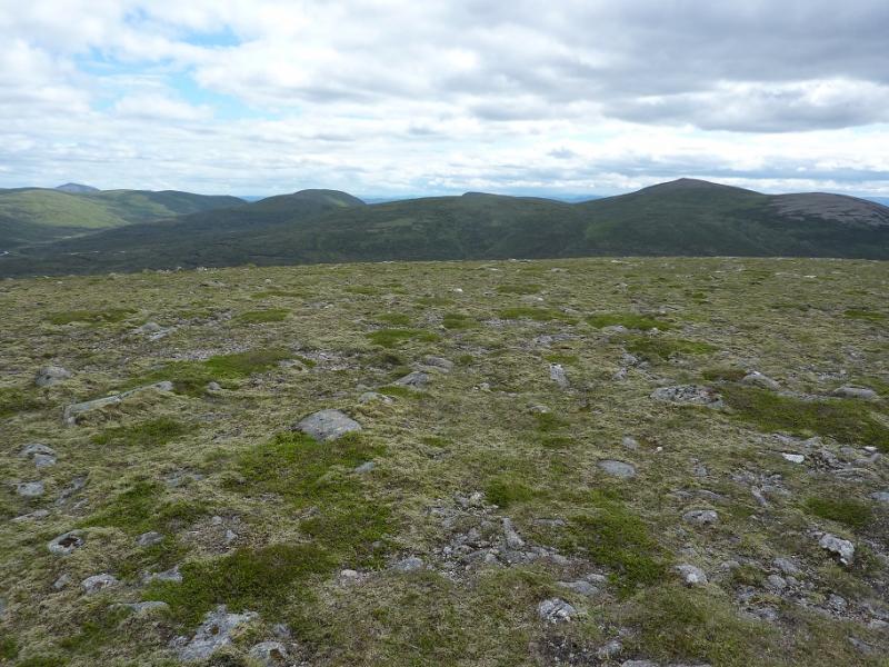
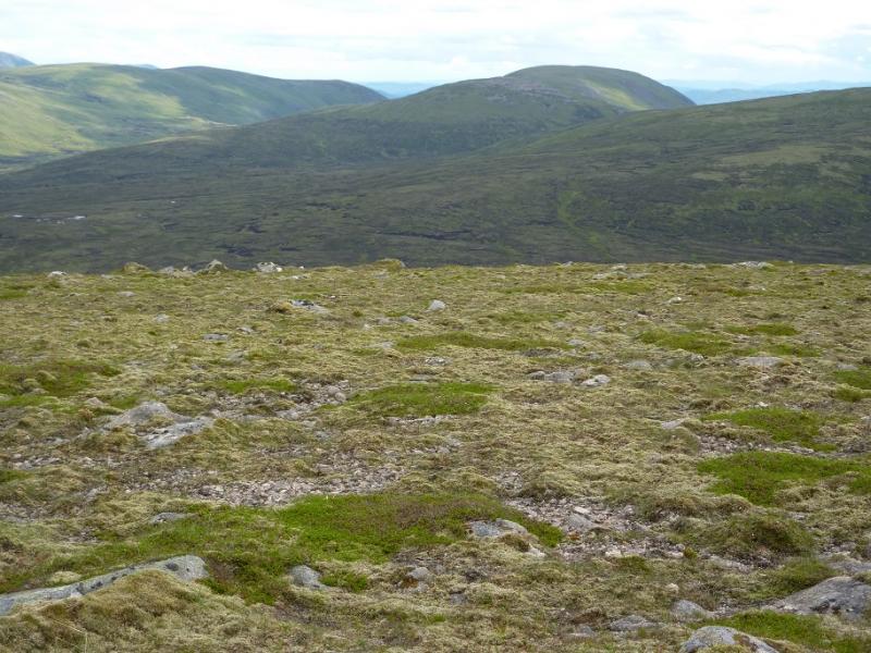
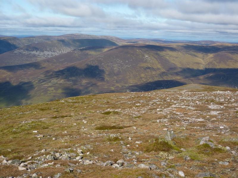
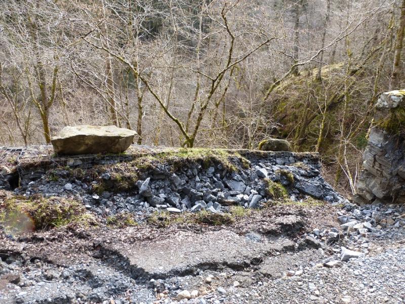
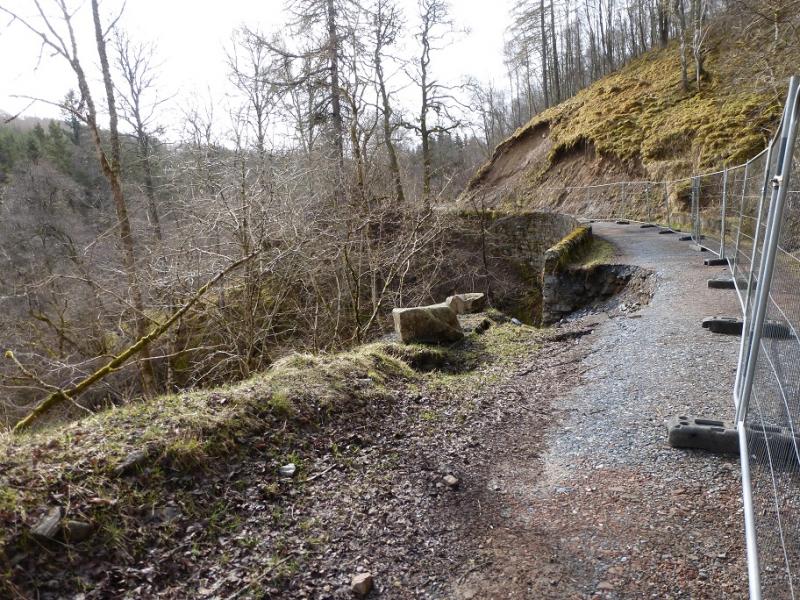
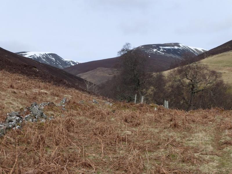
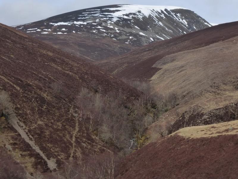
This is Scottish high moorland walking at its very best with good tracks and paths virtually all the way. The Glen Tilt track is maintained to a standard fit for ordinary cars so cycling up it presents few problems. There was a landslip during the winter of 2015/6 but this has not caused any access problems for walkers or cyclists. Given its position, on a clear day, there should be views to Beinn Dearg, Carn a' Chlamain and Beinn a' Ghlo and even to Cairn Toul. The notice in the car park gives details of any stalking in the main stag season or shooting on the firing range at other times. For those who have been here before, the toilets in Blair Atholl have moved to by the new Visitor Information Centre just before the turning to the Old Bridge of Tilt. They are no longer free!
Route
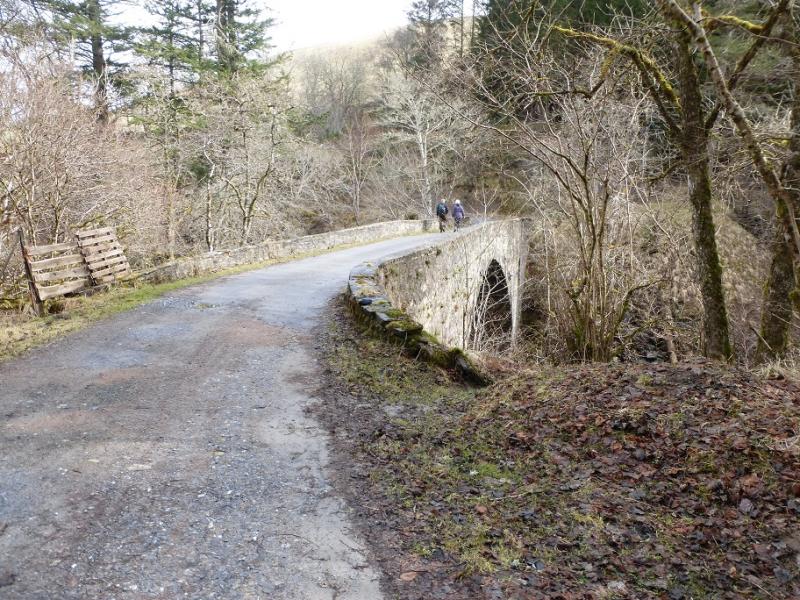
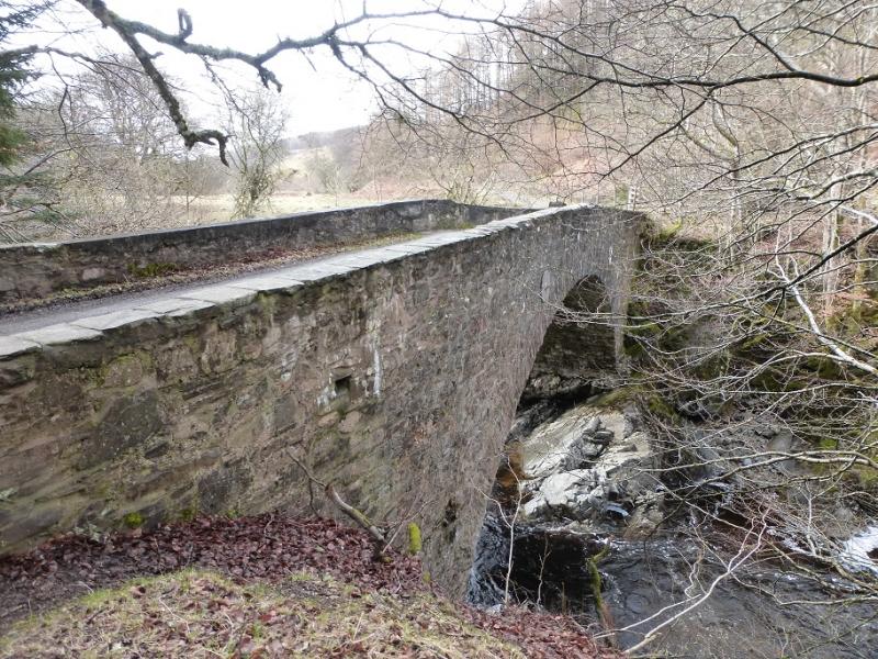
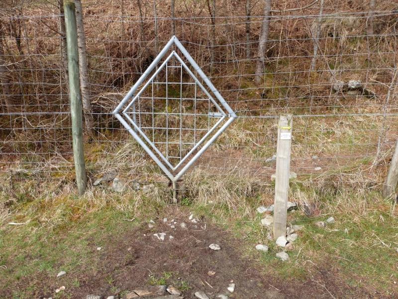
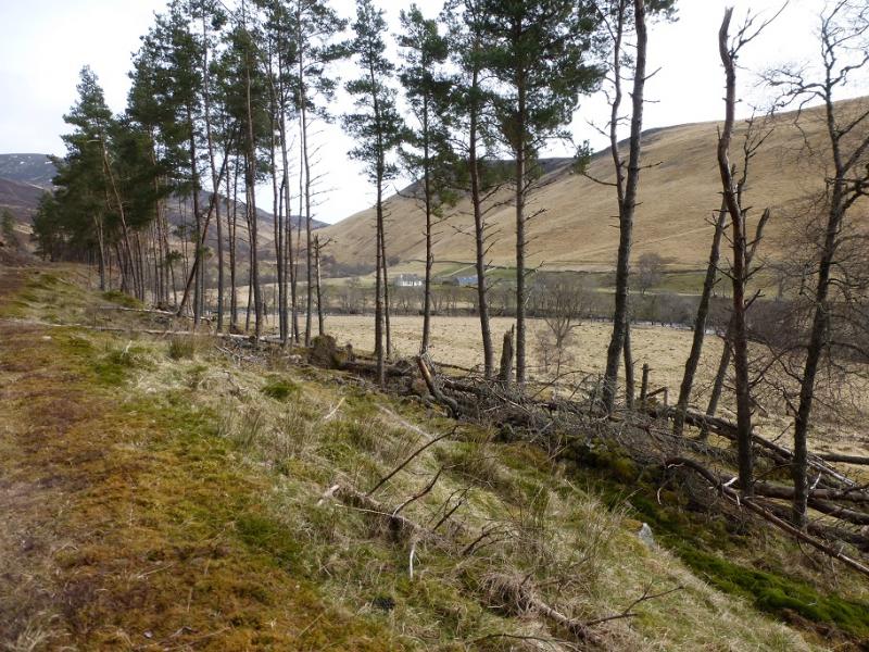
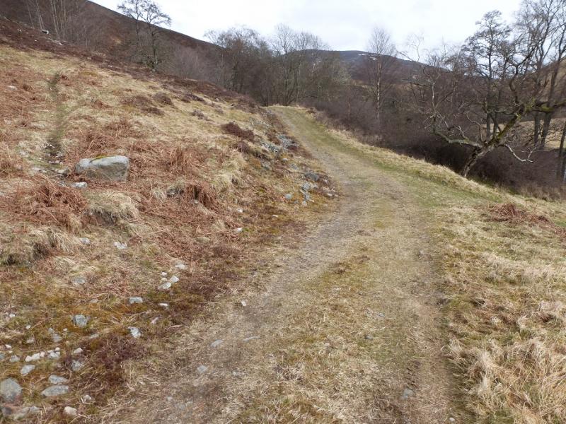
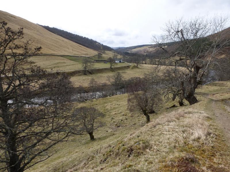
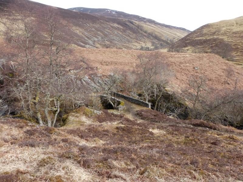
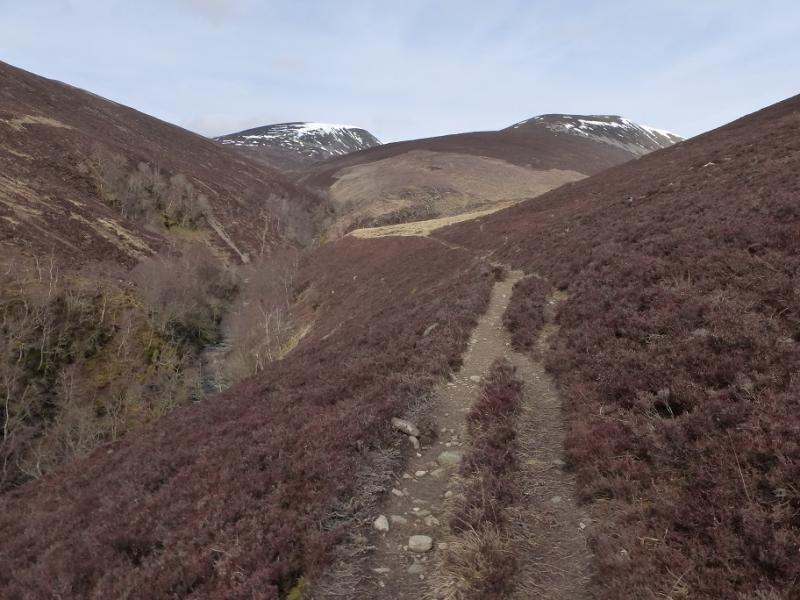
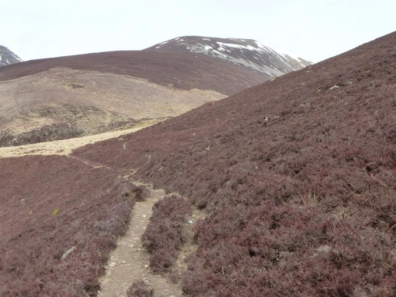
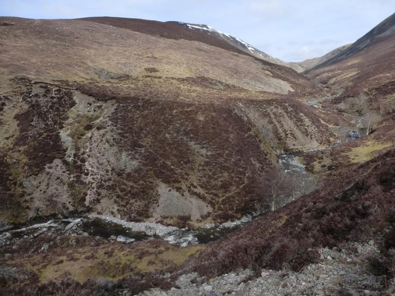
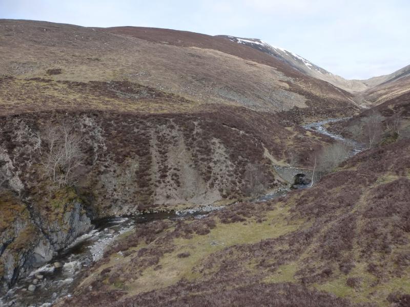
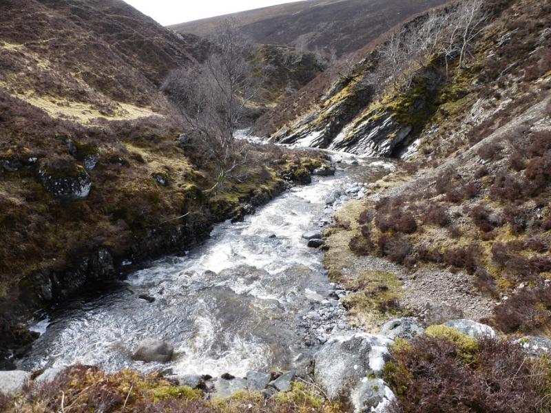
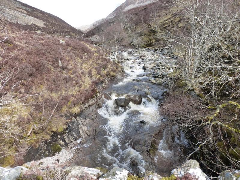
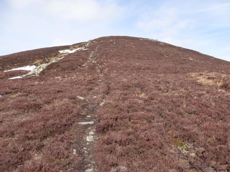
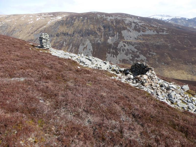
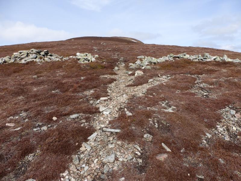
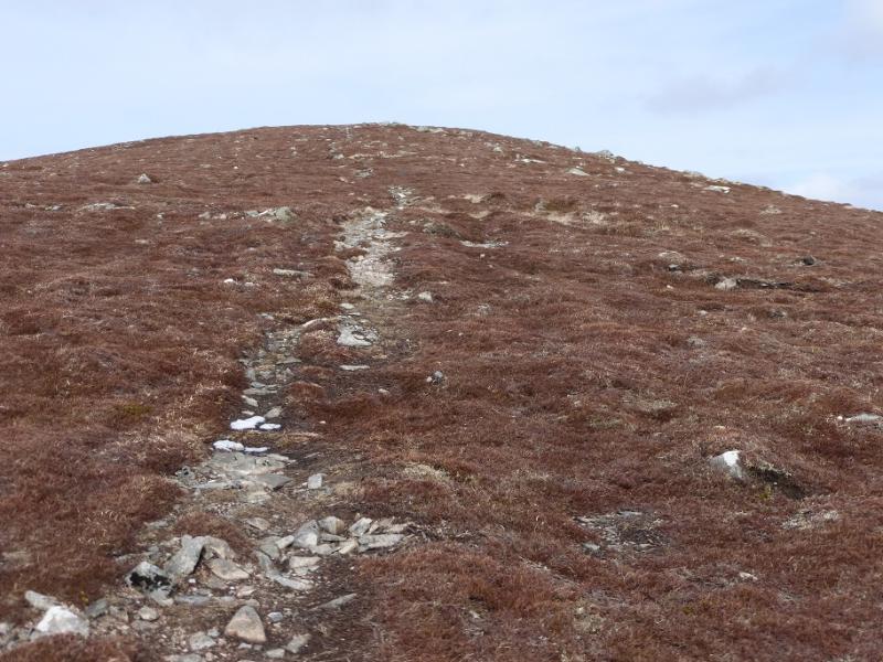
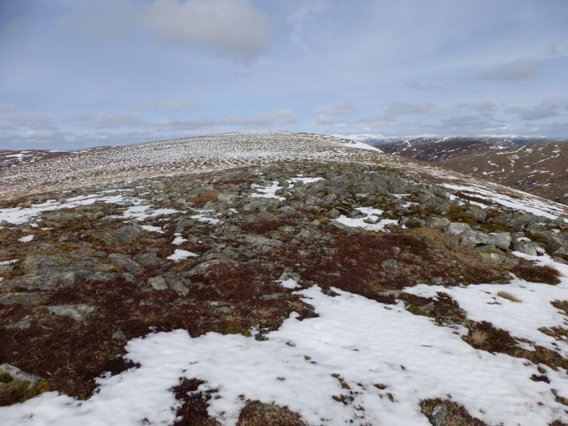
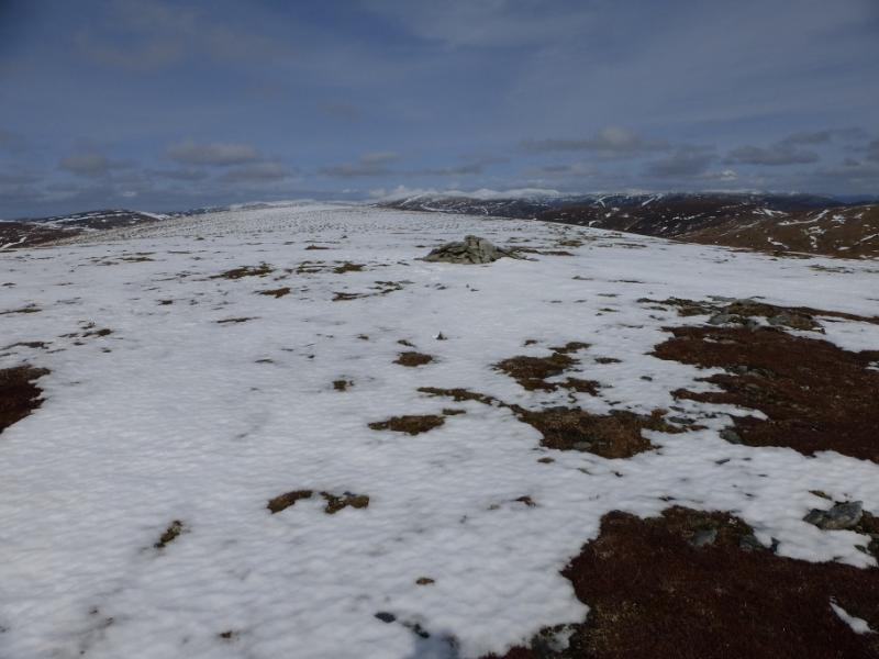
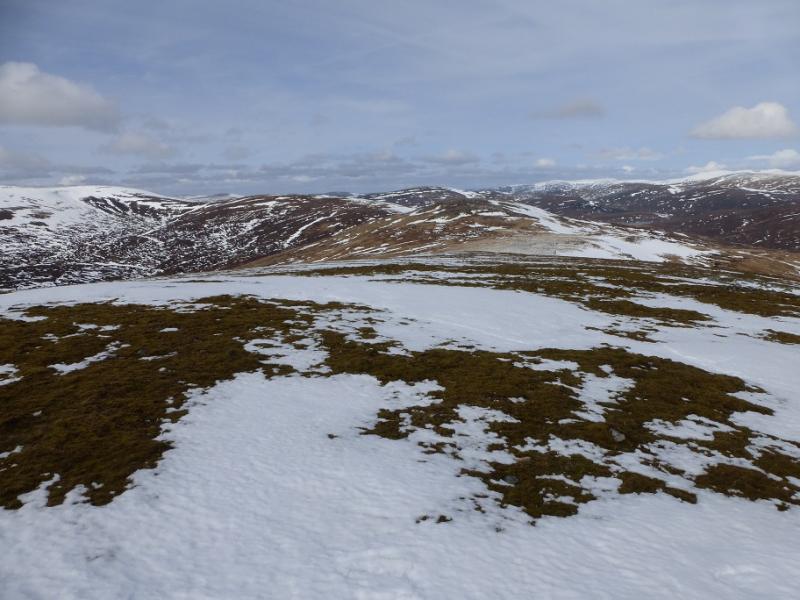
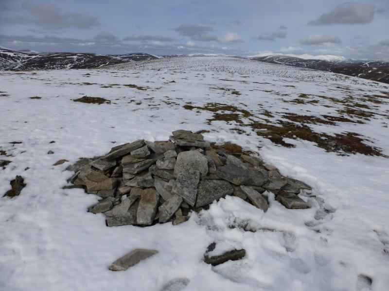
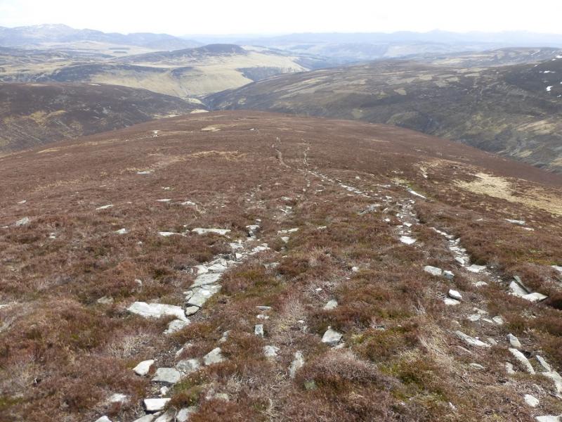
(1) Cross the road by the entrance to the car park and take the track through the stone gate posts. There is a notice on the left hand gate post saying how far it is to Marble Lodge (5 miles) and Forest Lodge (8 miles). Neither is visited on this route. Follow the track. After about 3 km, it crosses the River Tilt. Continue on the track for about another 2 km to reach Gilbert's Bridge – not obvious if you have your head down – just after exiting a wood and about 800 m before the cottage at Auchgobhal. Cross Gilbert's Bridge. About 50 m further is a diamond shaped gate by a locked gate which gives access to a rising track. Follow this track up until a path sign directs one off to the right, down towards the river. Follow the path which rejoins the track further on; the path avoids further ascending on the track. Continue on the track/path until it crosses the substantial Allt Mhairc by a stone arched bridge. Continue on the path as it heads NNW, shadowing the Allt Mhairc. Ignore any signs going right higher up and continue shadowing the burn. The path passes the confluence with the Allt Diridh and continues up the Allt Mhairc to reach a second stone arched bridge. Cross over and follow a path up the other side which soon makes a rising traverse to the right. The path can be difficult to follow in places but it eventually leads up on to the crest of the S ridge of Beinn Mheadhonach. Continue up the crest on the path. A pillar cairn next to a shelter cairn will be seen, off to the right, further up. This is about halfway up the S ridge. Continue up crossing a broken wall before soon reaching the start of the almost level summit crest. Further along is the largest cairn which is low and wide but it may not be the highest point which could be about 350 m further on. It is difficult to tell, visually, which is the higher point so visit both to be sure that you have reached the summit of Beinn Mheadhonach, 901 m.
(2) Return by the same route.
Notes
(a) This walk took place on 2nd April, 2016.
(b) It is possible to combine Beinn Mheadhonach with Beinn Dearg as they are fairly close. The route from Beinn Dearg goes over Elrig 'ic an Toisich and Carn a' Chiaraidh. There is no need to return over Beinn Dearg. From the NW col of Carn a' Chiaraidh, one can descend SW then ascend up to Meall Dubh nan Dearcag to rejoin the path from Beinn Dearg to the bothy below Druim Dubh if one has left a bike there. If attempting this on foot, one can return down the S ridge of Beinn Mheadhonach to reach the stone bridge over the Allt Mhairc then follow the path back to Glen Tilt.
(c) On returning to the Diamond Gate, it is much easier to return to Gilbert's Bridge and down the main Glen Tilt track. If one is tempted to take the track S from Diamond Gate then be aware that it climbs much higher than the main track in Glen Tilt from Gilbert's Bridge. Follow it to its highest point, passing several flag poles then a an old rough quarry. Soon after, a grassy track forks off left back to the main track in Glen Tilt. This alternative may be closed on some days when the firing range is in use so check the dates on the information board in the car park before setting off.
Photos - Hover over photo for caption. Click on to enlarge. Click on again to reduce.