Get Lost Mountaineering
You are here: Scotland » 01 South of Oban to Stirling and Fife » Ochil Hills
Ochils West: The Law, Ben Cleuch, Blairdenon Hill & Ben Ever from Tillicoultry
Ochils West: The Law, Ben Cleuch, Blairdenon Hill & Ben Ever
from Tillicoultry
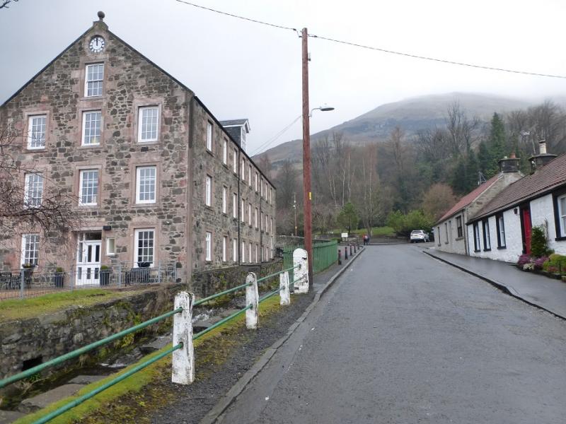
Start/Finish
Top of Upper Mill Street in Tillicoultry. The Woolpack public house is nearby. Tillicoultry is on the A91 Stirling to St. Andrew's road. Upper Mill Street leaves the A91 at the western end of the town by the Bridge Inn.
Distance/Time
17 km About 6 – 7 hours
Peaks
The Law, 638 m, NS 910 996.
Ben Cleuch, 721 m, NN 902 006.
Blairdenon Hill, 631 m, NN 865 018.
Ben Ever, 622 m, NN 893 001. OS Explorer 366: Stirling & Ochil Hills
Introduction
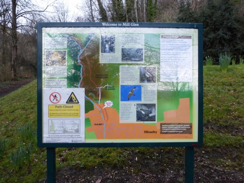
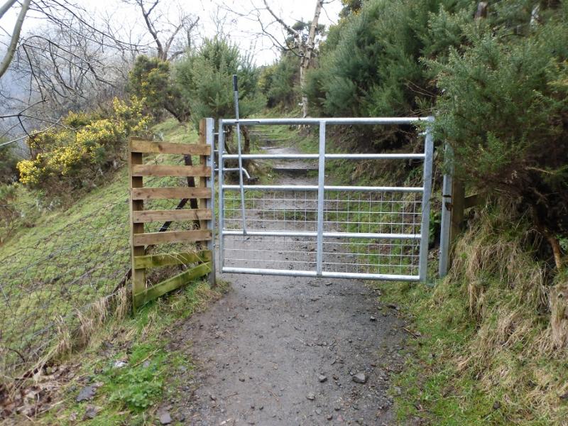
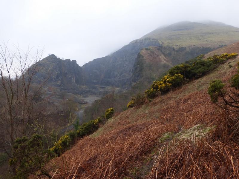
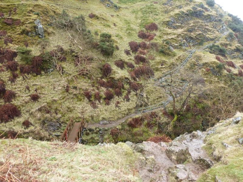
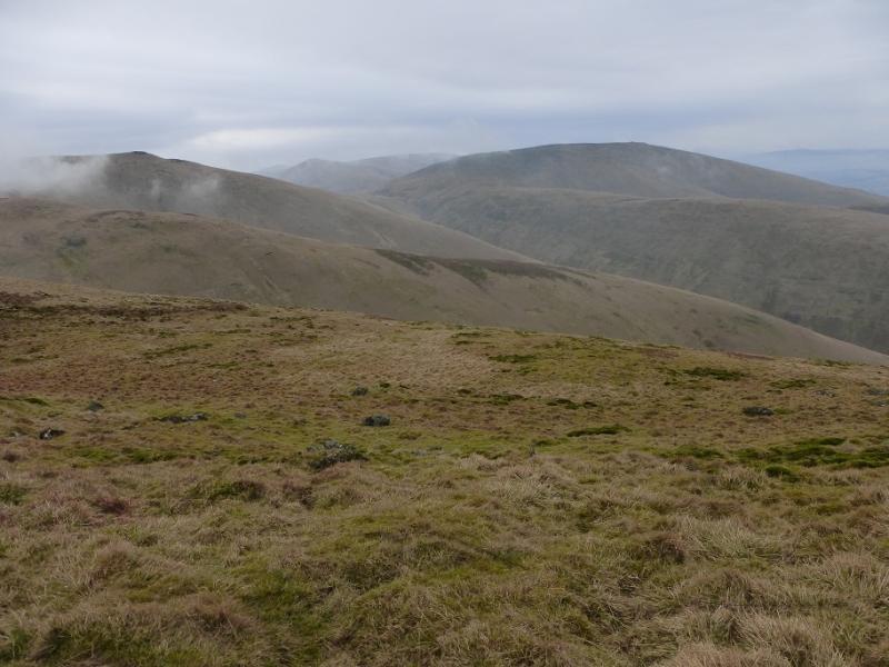
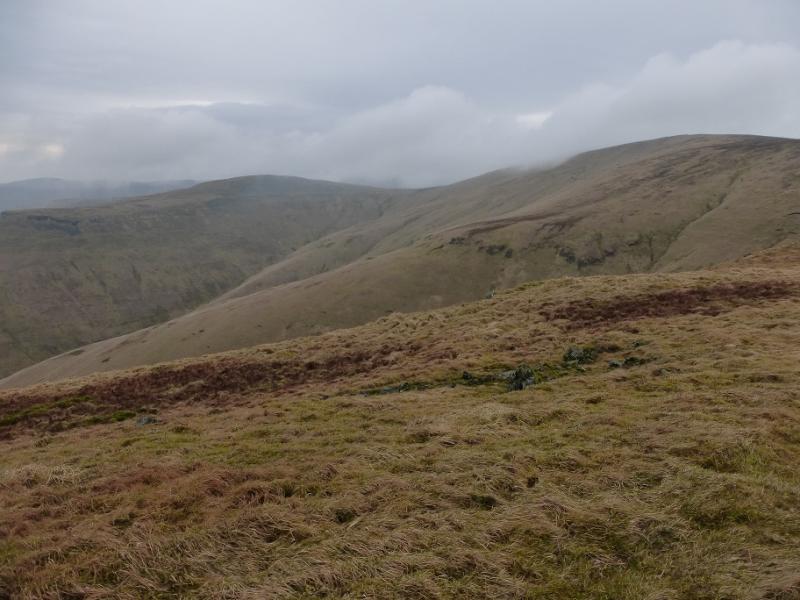
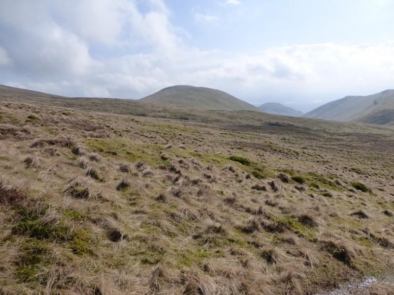
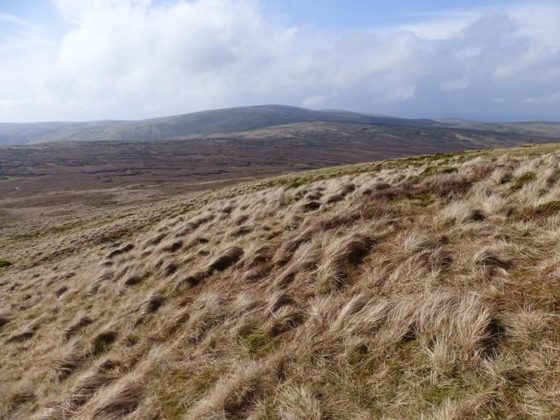
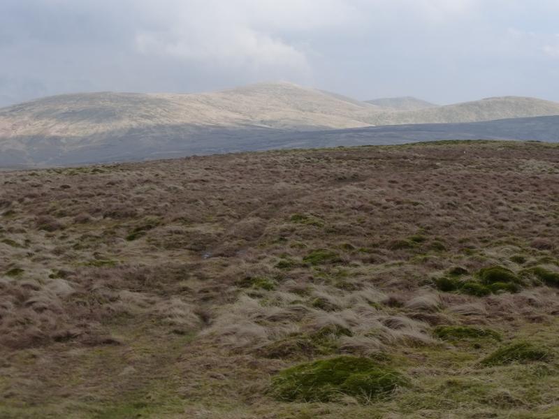
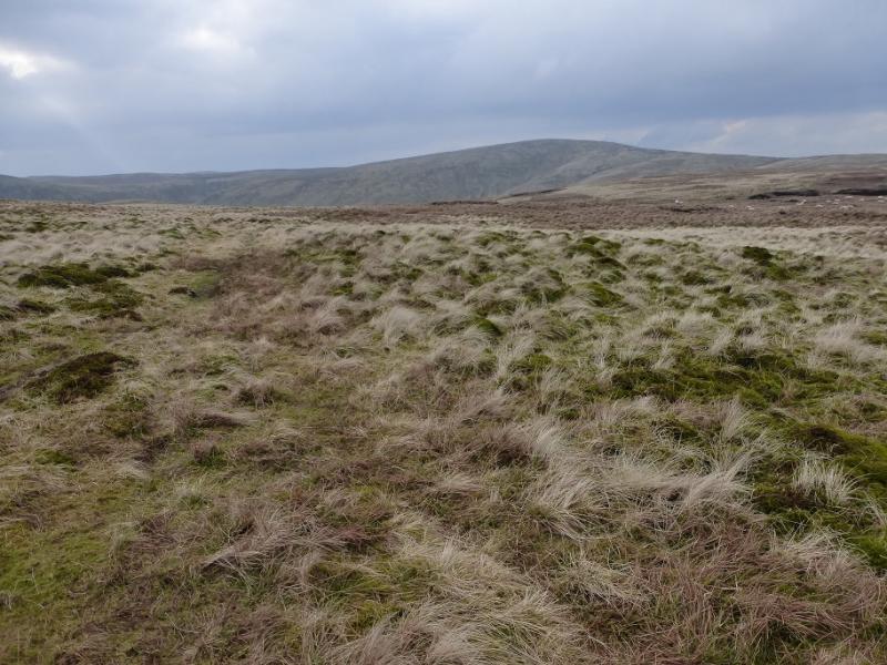
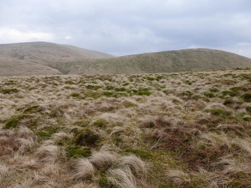
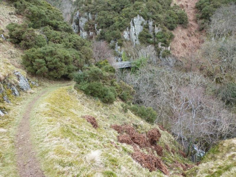
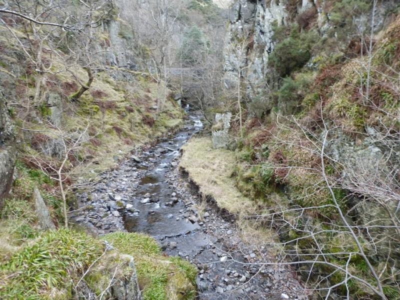
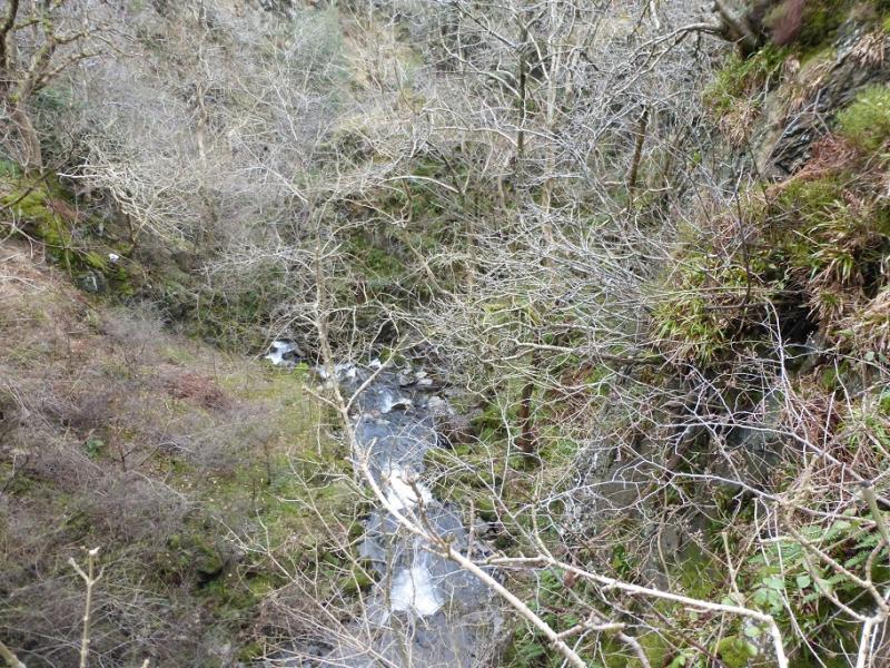
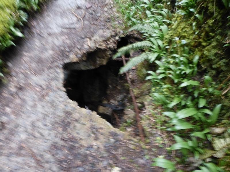
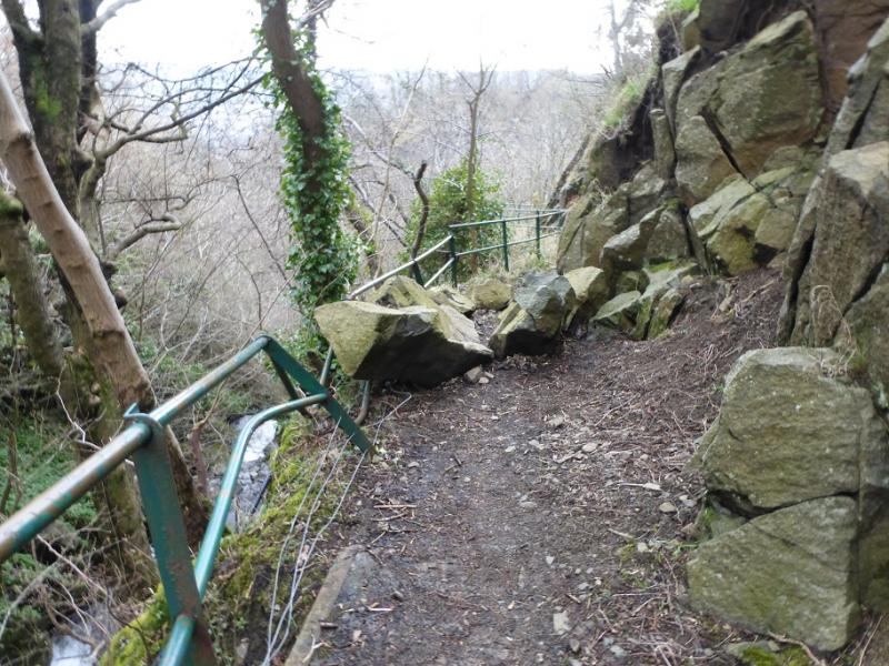
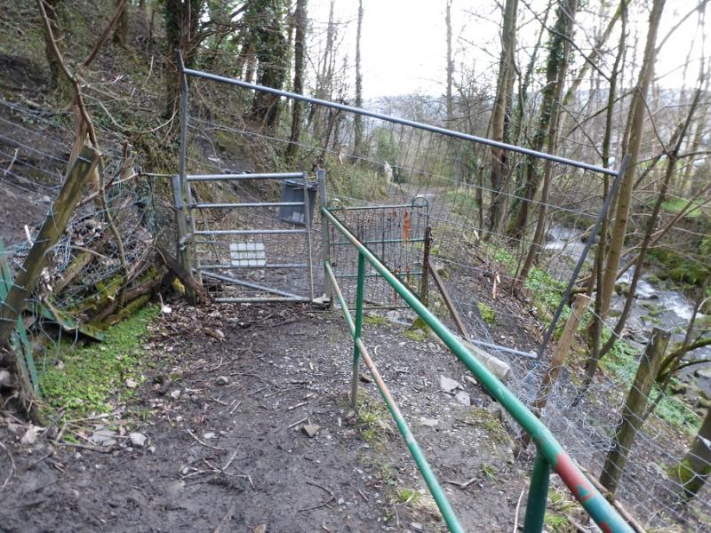
The Ochils contain many summits but, surprisingly, only one Graham showing how little drop most of the tops have. The Ochils dominate the view on the north side of the River Forth between Stirling and Kincardine. There are many paths but also some wet and boggy ground especially between Ben Buck and Blairdenon Hill. Rock falls and subsidence have damaged the path in the Mill Glen although it was just passable on 3/4/16. The path was fenced off at the bottom but no warning of this until it was reached. However, the fence was easily climbed over.
Route
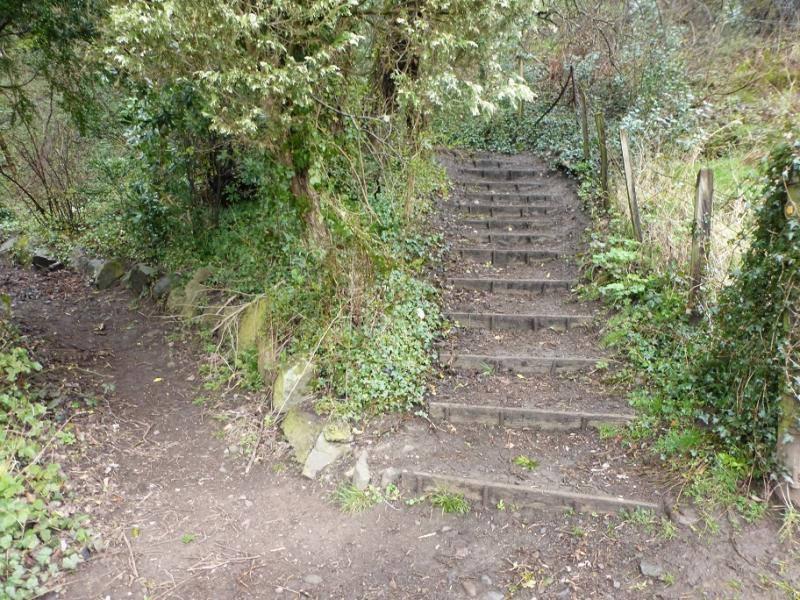
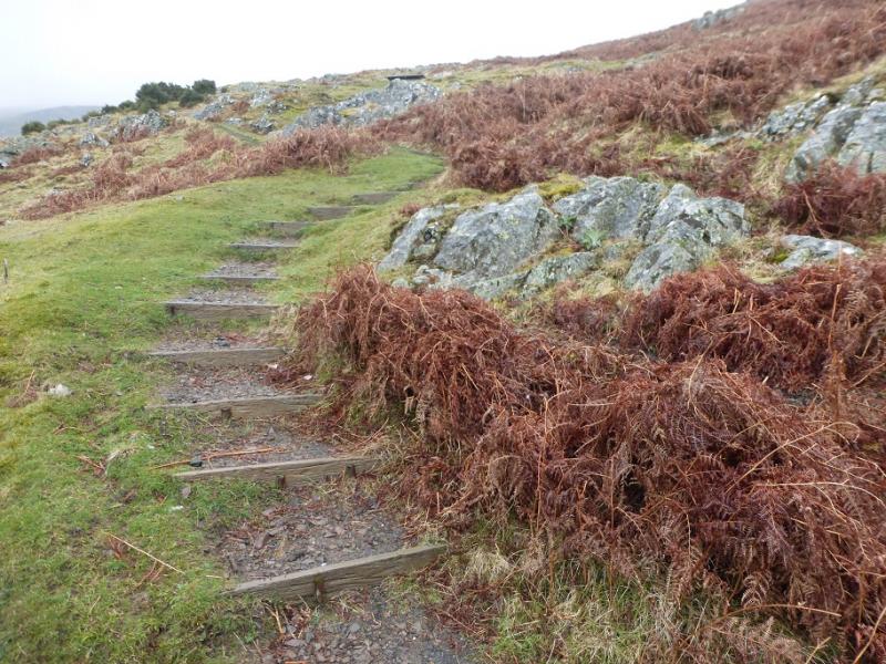
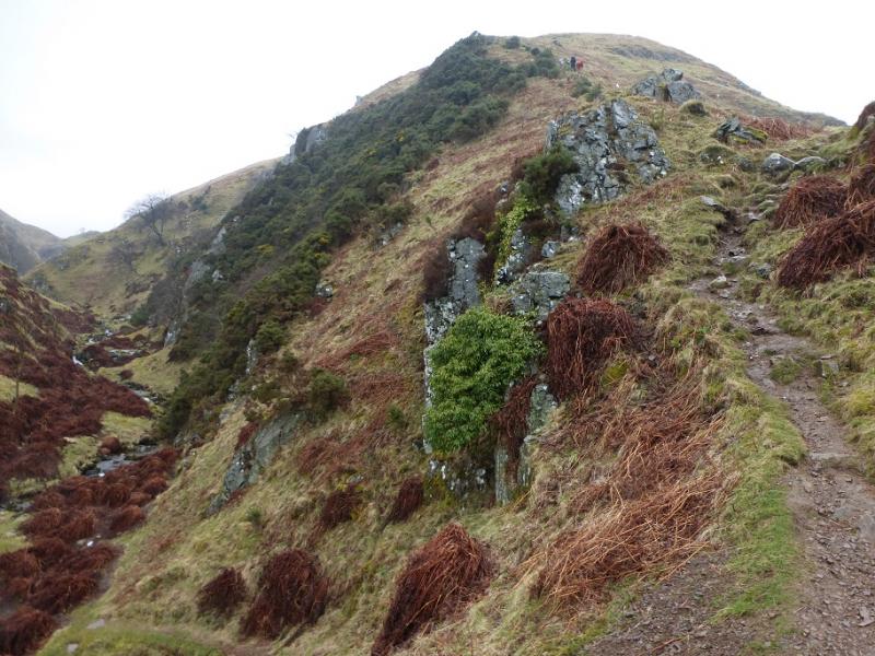
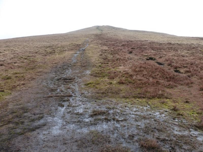
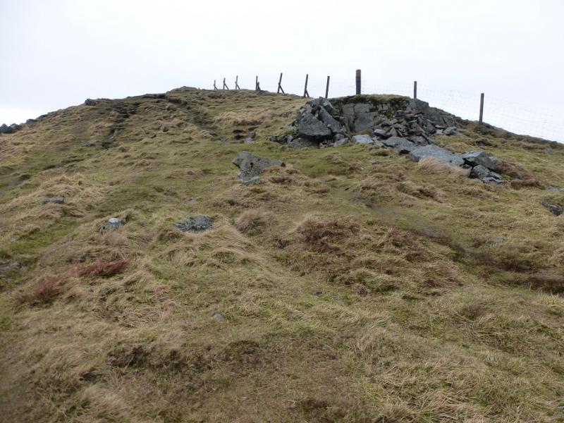
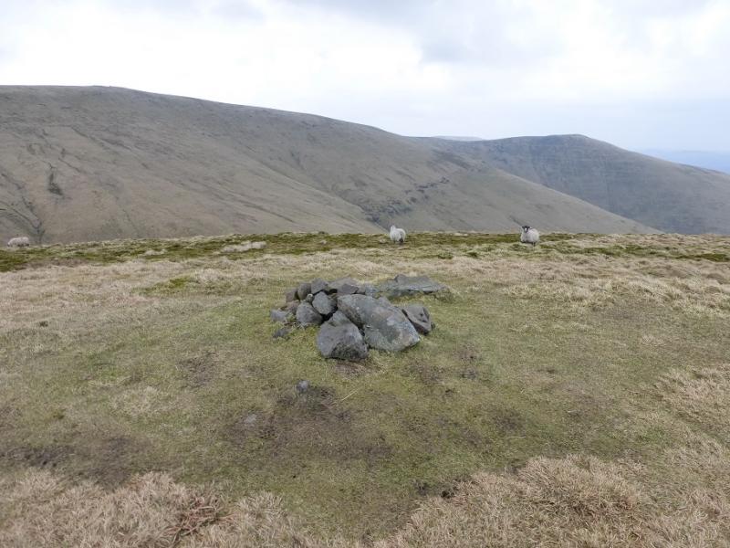
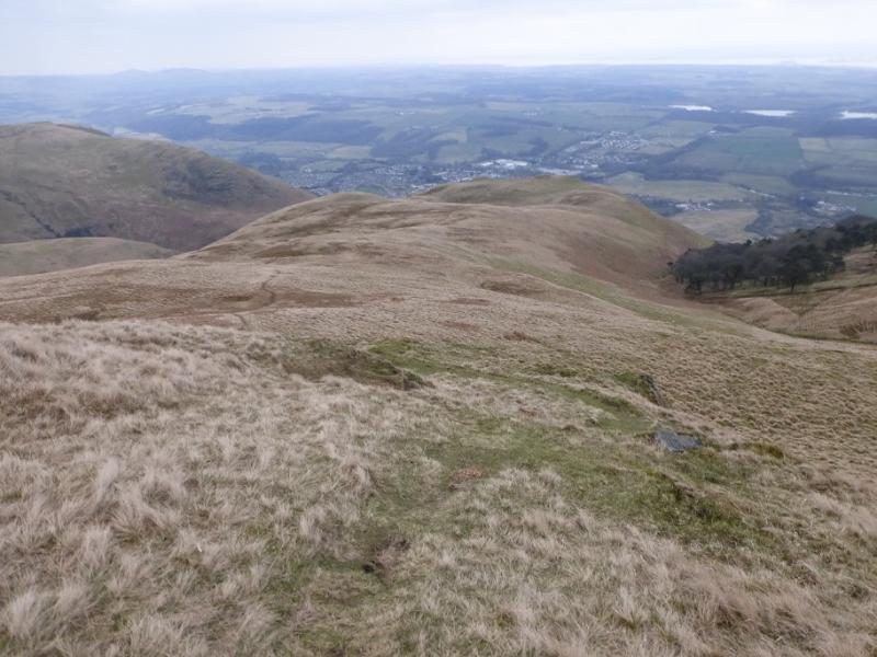
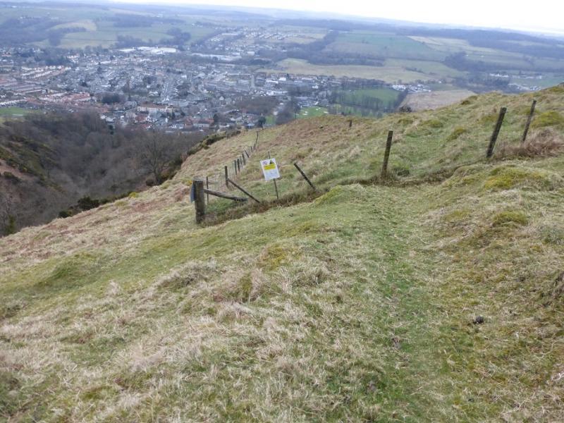
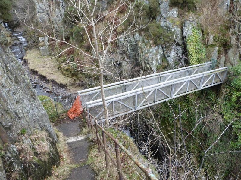
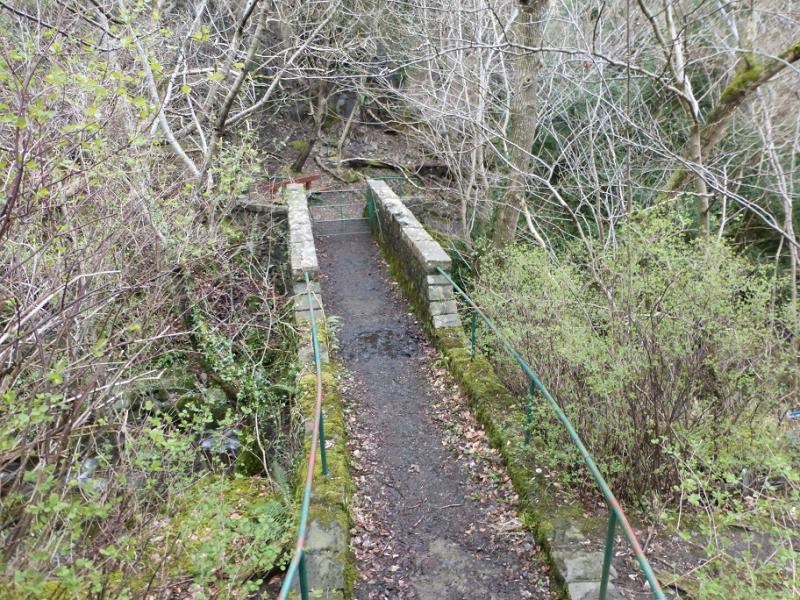
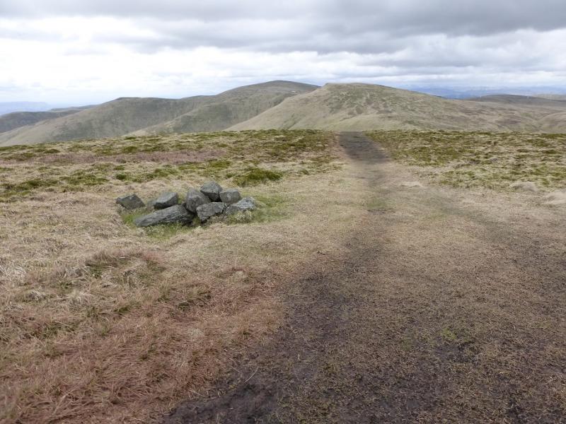
(1) From the top of Upper Mill Street, turn right and start on the path for Dollar. Almost immediately, leave the path and go up the obvious stepped path. This is the official alternative to the Mill Glen path. It leads uphill before traversing left and descending a little to reach the bridge at the top of the Mill Glen and the foot of the S ridge of The Law. Cross the bridge and pick a way up the short rocky section which is very straightforward but can be slippery when wet. Follow the very obvious path up the ridge. This is fairly steep and unrelenting. Higher up, a fence come sin from the right and soon after a shelter cairn is passed. A little further, reach a small cairn which is the summit of The Law, 638 m.
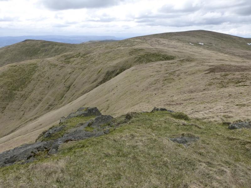
(2) Continue on the crest, descending slightly then ascending to reach the fence on the E ridge fo Ben Cleuch. Follow the fence W (left) to reach the trig point in a shelter cairn which is the summit of Ben Cleuch, 721 m. A viewfinder cairn is very close but is now so worn away as to be useless!
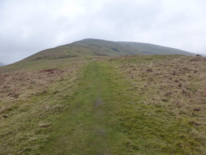
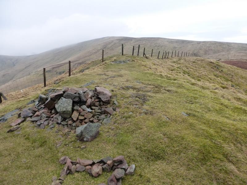
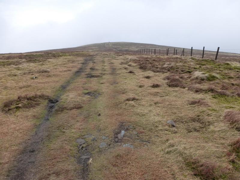
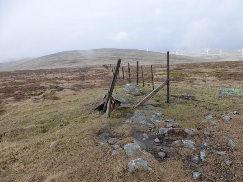
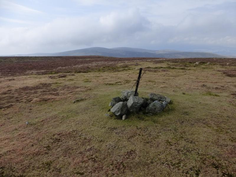
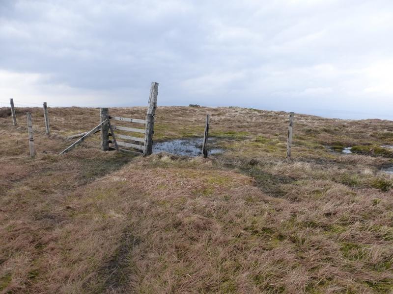
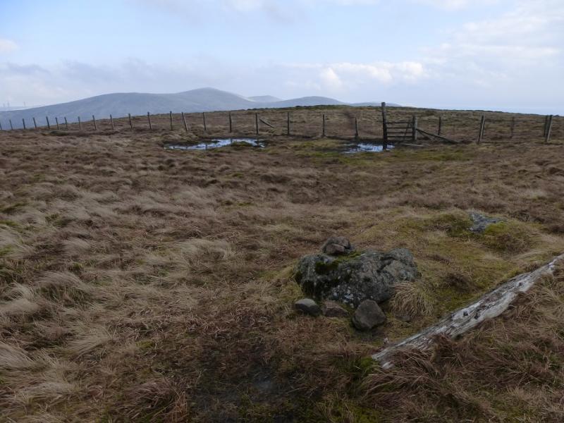
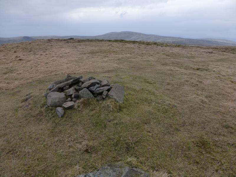
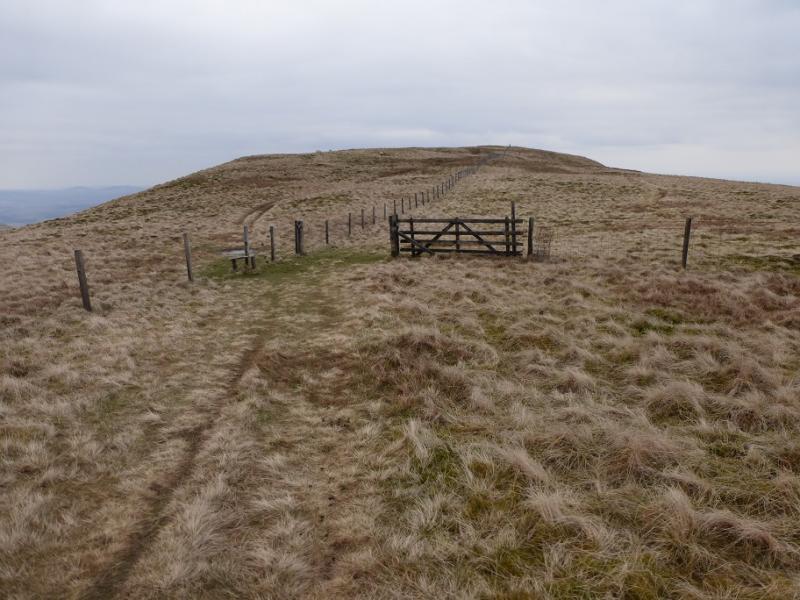
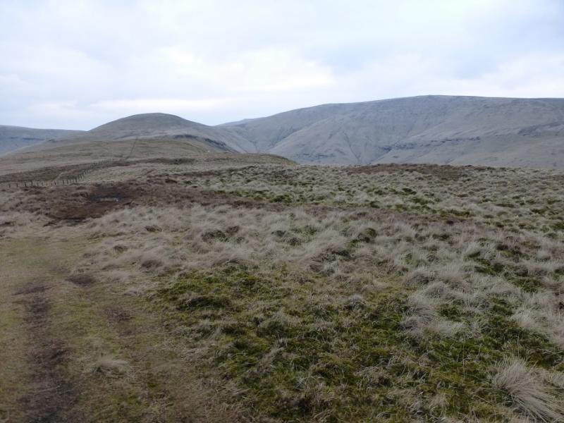
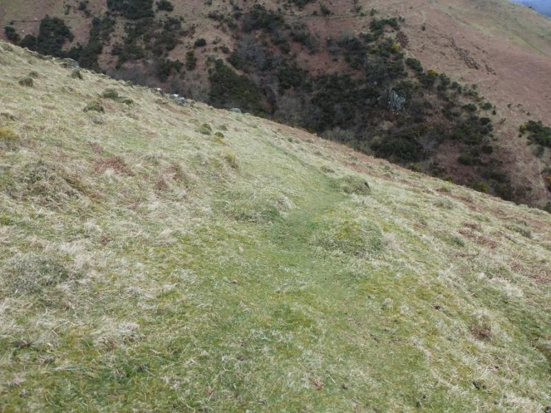
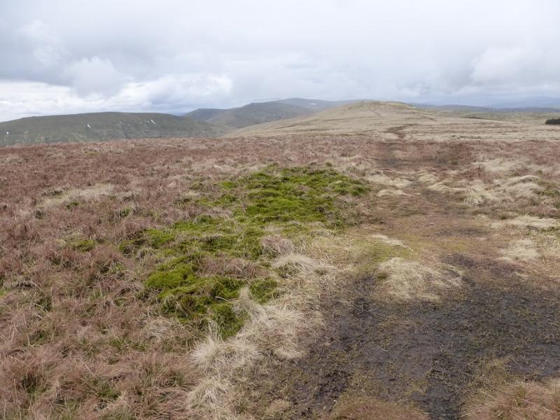
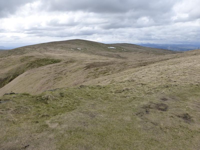
(3) Continue following the fence, descending NW. Reach a fence junction where a broken stile gives access to the fence heading NNW. Cross a shallow dip then ascend to the summit of Ben Buck where there is a small cairn. Turn left, roughly WSW, and follow a path down to a gravel track. Join the track and follow it uphill. It soon becomes a grassy ATV track. When it forks, take the right fork. When it forks again, also take the right fork. This track leads all the way to the summit of Blairdenon Hill but does not the direct route which would be very wet, mossy and boggy. Instead it goes around the peat hags on their W side before going up the gentle crest. A fence is crossed is crossed then a small cairn passed on a shoulder before a fence junction is reached just before the small cairn which marks the summit of Blairdenon Hill, 631 m.
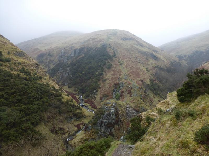
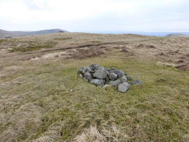
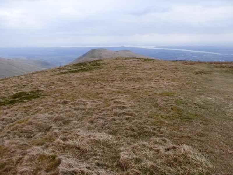
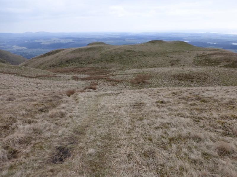
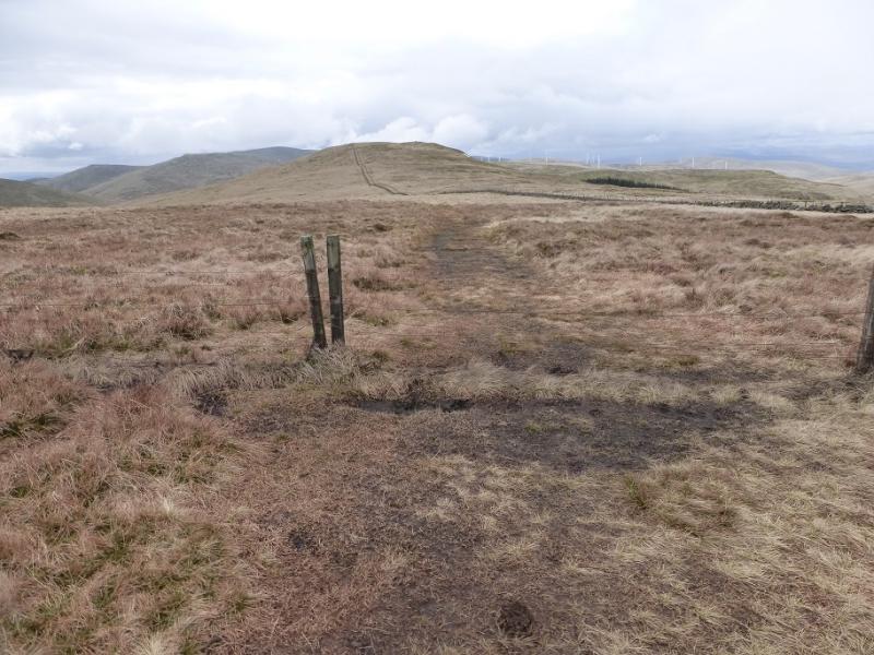
(4) Retrace along the track to the gravel track. Follow this downhill as far as the first small stream on the left. Leave the track and make a gently rising traverse SE across pathless ground aiming for the col between Ben Cleuch and Ben Ever. Below the col, the Benever Burn is easily crossed in a grassy gully before the col is soon reached by a gate. The track up Ben Ever is very obvious and goes up the crest. There are two cairns on the summit area. The W one is on the track, the E one (about 40 m away) is on the path. The E one seems slightly higher but there is very little in it so visit both to be sure of being on the true summit of Ben Ever, 622 m.
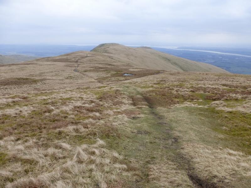
(5) Follow the track down the S ridge then up and over a minor top. Further on, the track switches to the left of the fence. Continue down until the track goes left towards the Mill Glen. Stay with the track as far as a large cairn where a path forks off left. Follow the path to reach a fenced off area where the path turns sharp left and descends to a lower path. Turn left here and follow the path which soon descends to a bridge across the Mill Glen. Cross over and follow the path down the glen. The path has subsided in places and there has been a rockfall but there are no difficulties. Eventually, reach the bottom where a fence may have to be climbed over. Soon after reach the start. To avoid walking down the Mill Glen, do not cross the brdige but go upstream, on a path, until the outward path can be followed back.
Notes
(a) This walk took place on 3rd April, 2016.
Photos - Hover over photo for caption. Click on to enlarge. Click on again to reduce.