Get Lost Mountaineering
You are here: Scotland » 01 South of Oban to Stirling and Fife » Dunoon, Lock Eck and Lochgoilhead
The Brack & Ben Donich from Ardgarten
The Brack & Ben Donich from Ardgarten
Start/Finish
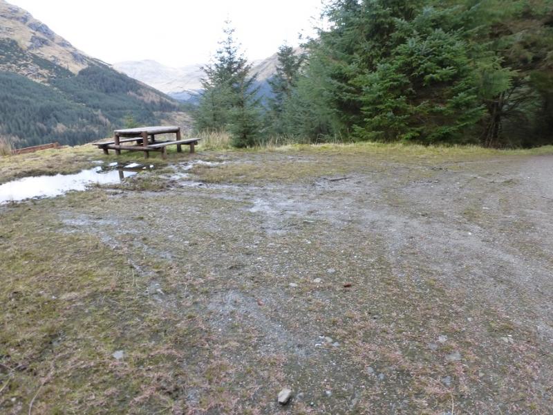
Forestry Commission car park at Ardgarten at NN 270 037 which is about 2 miles from Arrochar after the sign for the Forestry Cabins. There are toilets on the car park which is free.
Distance/Time
15 km About 7 – 8 hours.
Peaks
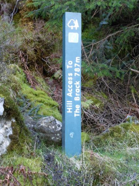
The Brack, 787 m, NN 245 030.
Ben Donich, 847 m, NN 218 043. OS Sheet 56: Loch Lomond & Inverary.
Introduction
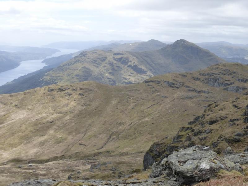
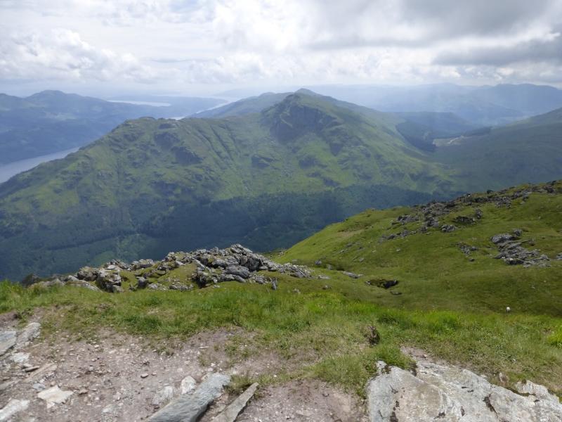
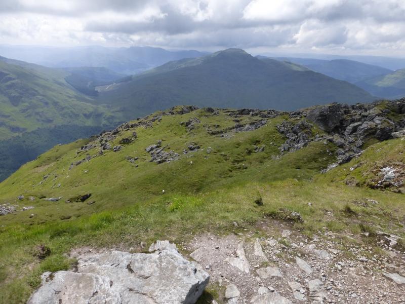
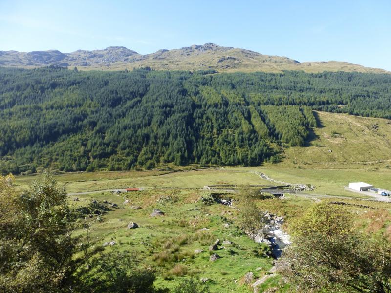
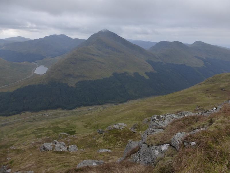
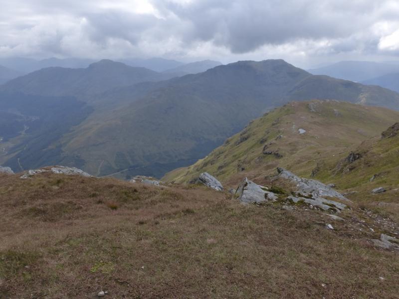
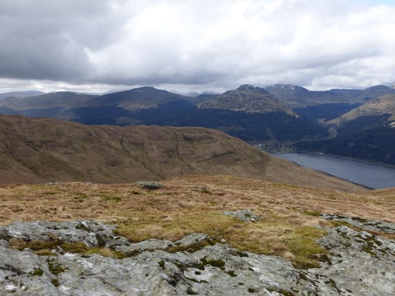
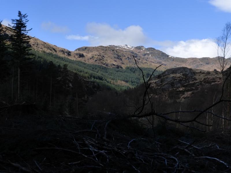
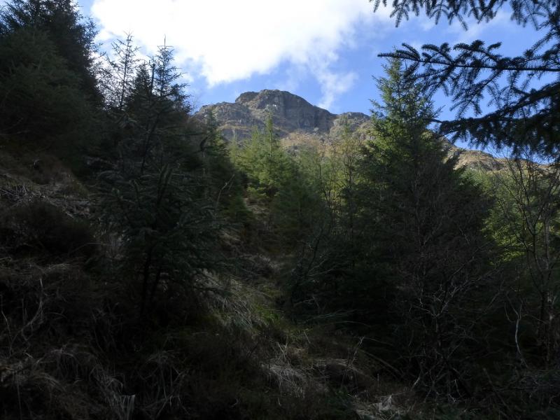
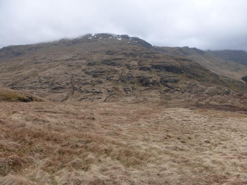
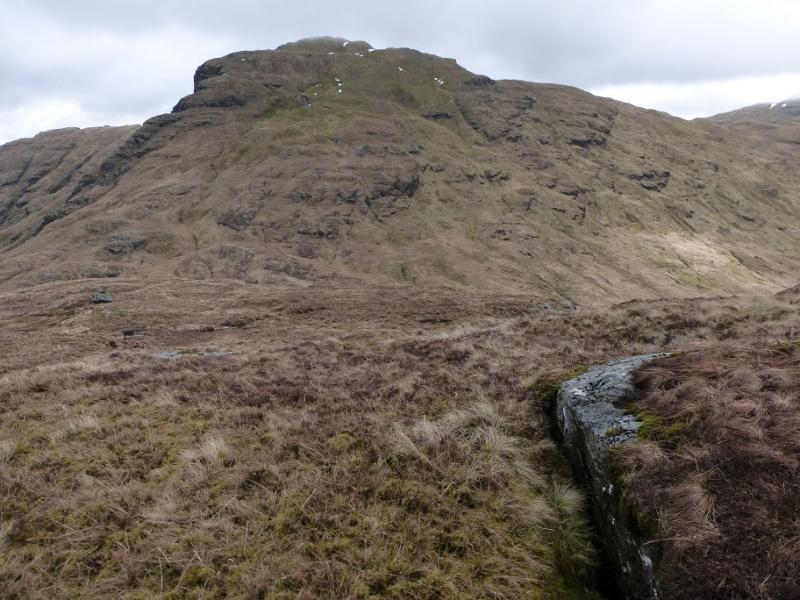
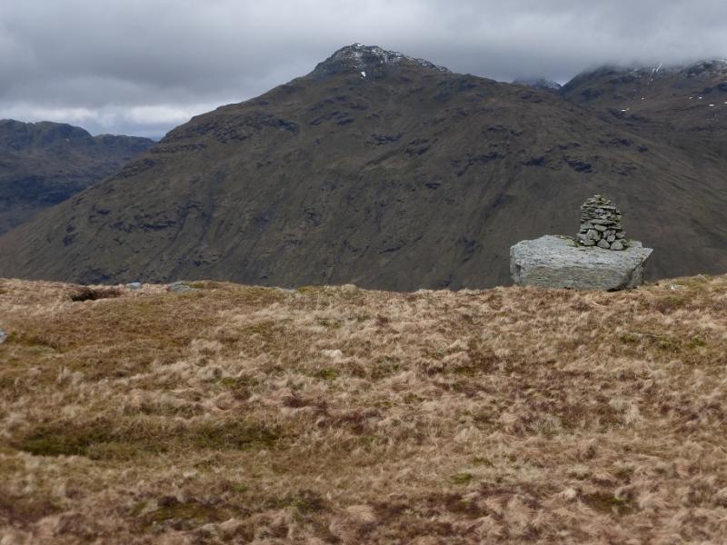
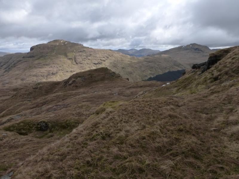
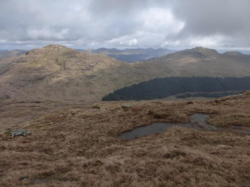
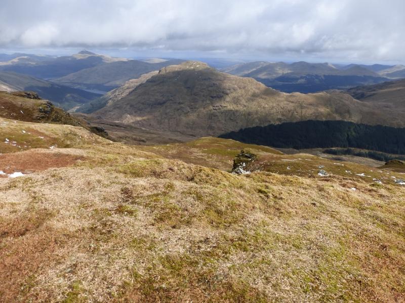
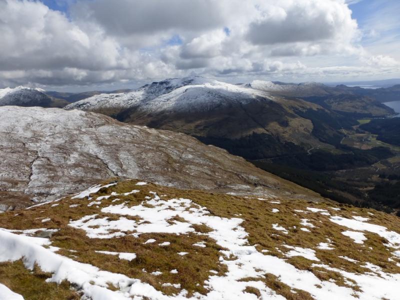
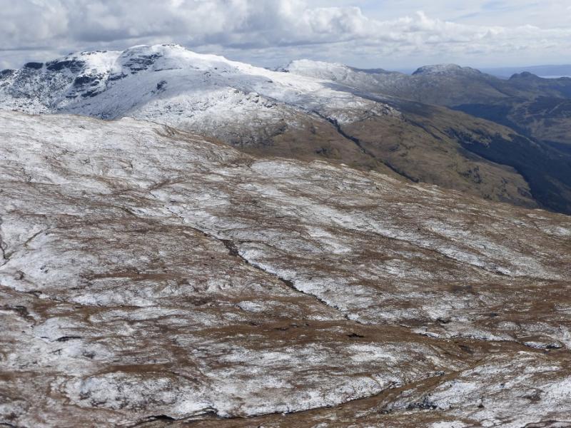
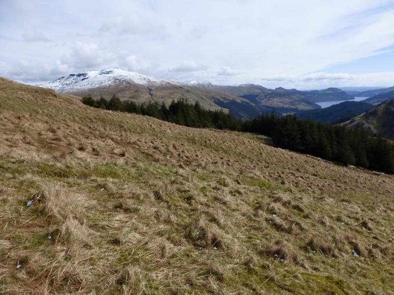
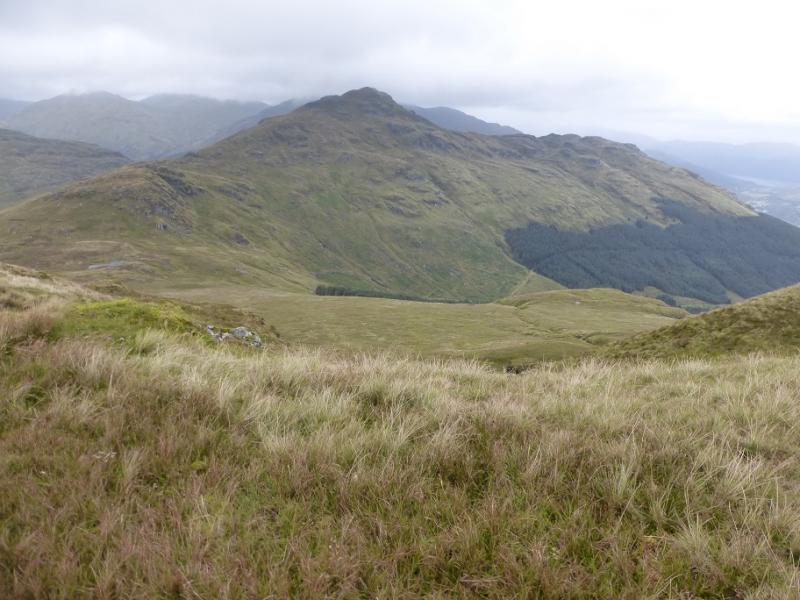
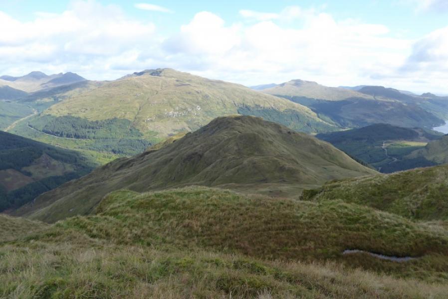
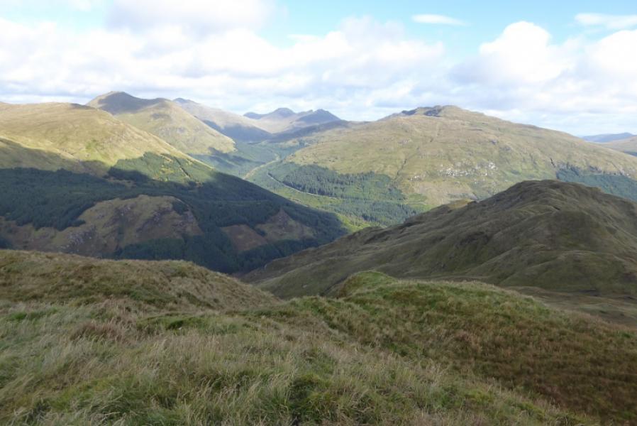
These are two rugged hills which tower over the west side of Glen Croe, the road which leads up from Loch Long to the Rest and Be Thankful pass. They are steep sided and pathless in places and offer a tough day. There are many crags, all of which are easily avoidable. They are fine view points for Beinn an Lochain, The Cobbler, Beinn Luibhean, Beinn Narnain, Beinn Ime and Ben Lomond. The return uses the forestry track from near the top of Glen Croe which could easily be cycled if one placed a bicycle there before setting off.
Route
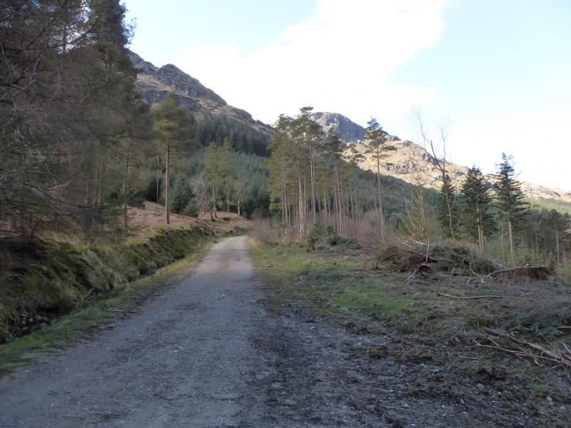
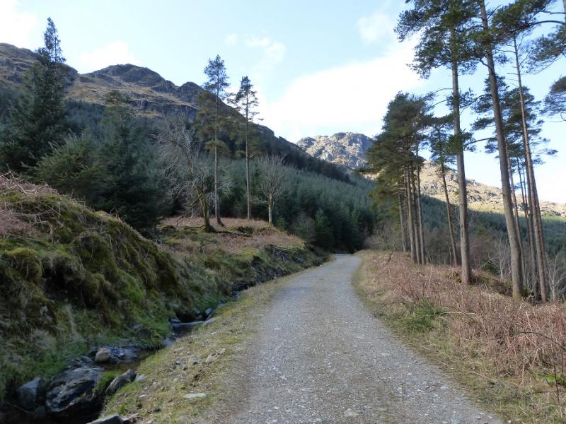
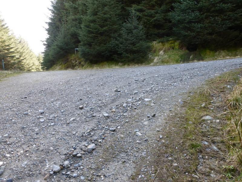
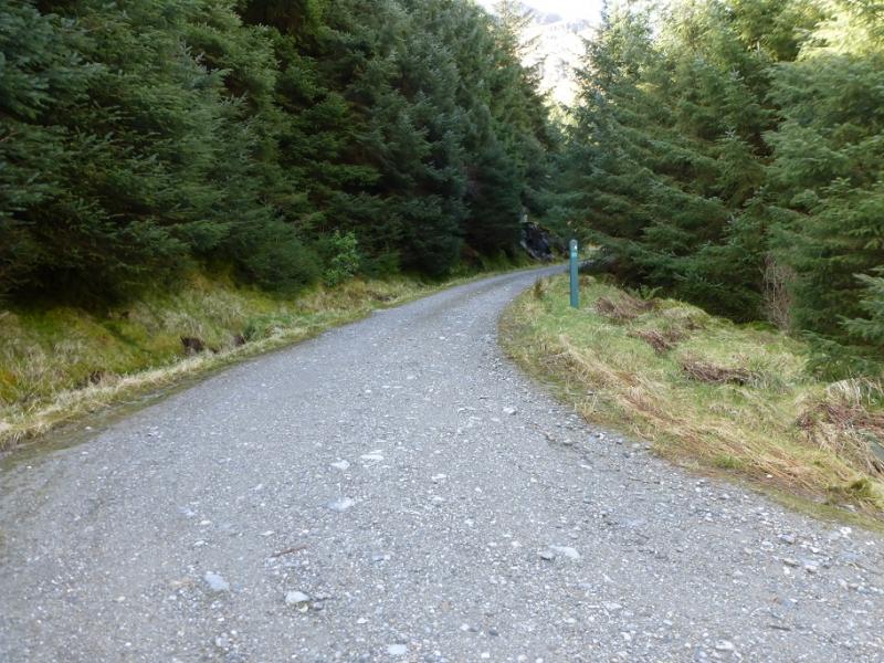
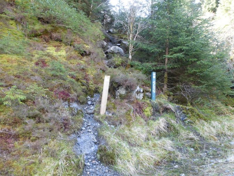
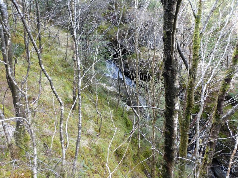
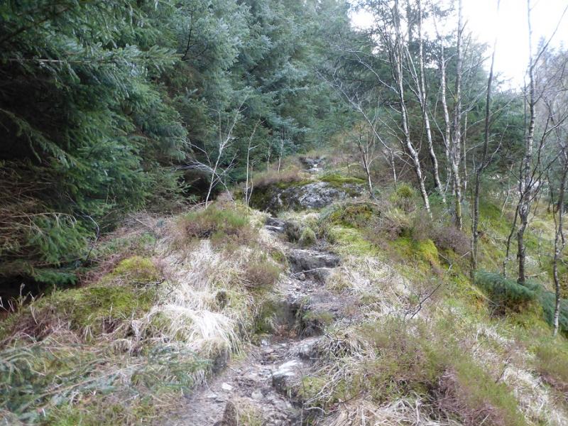
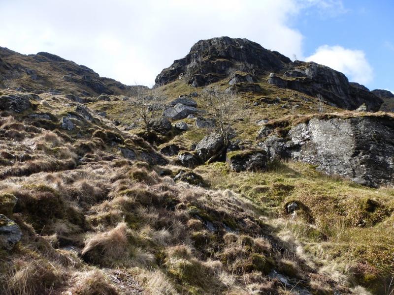
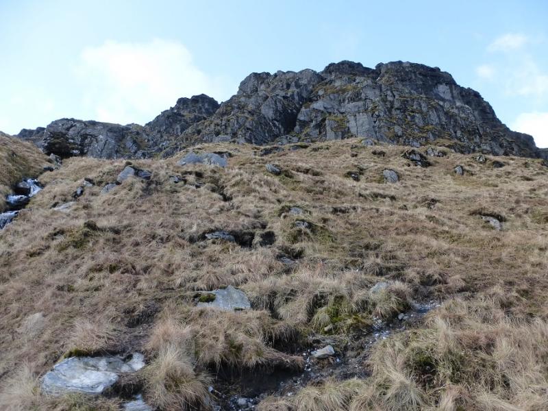
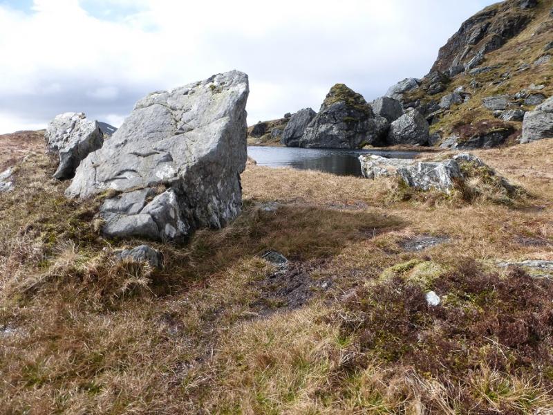
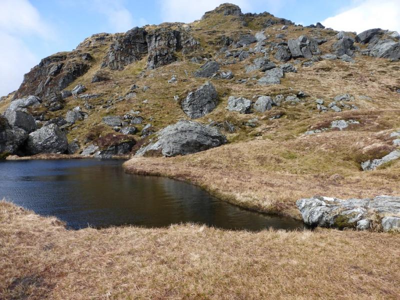
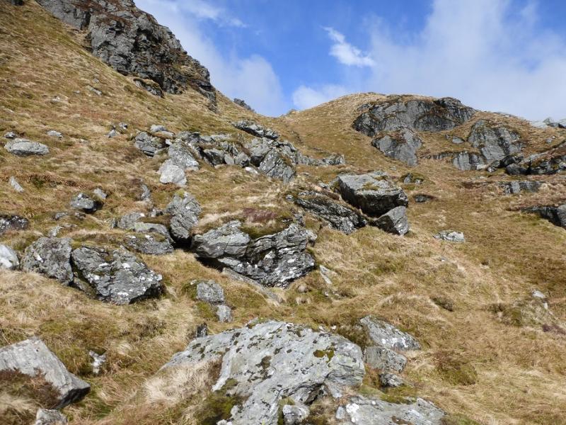
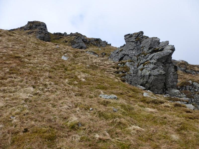
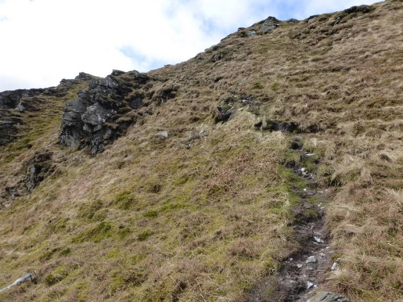
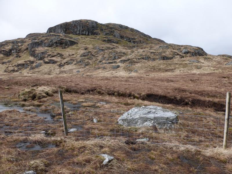
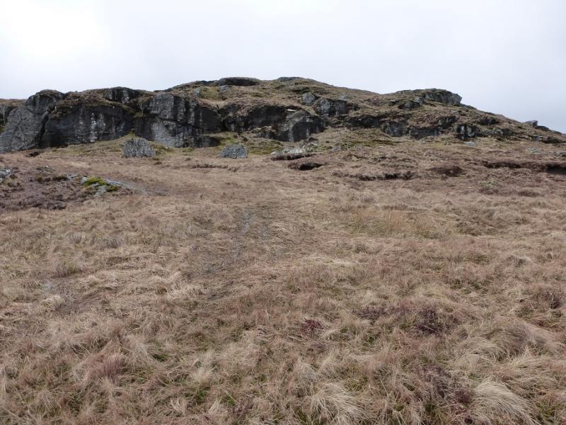
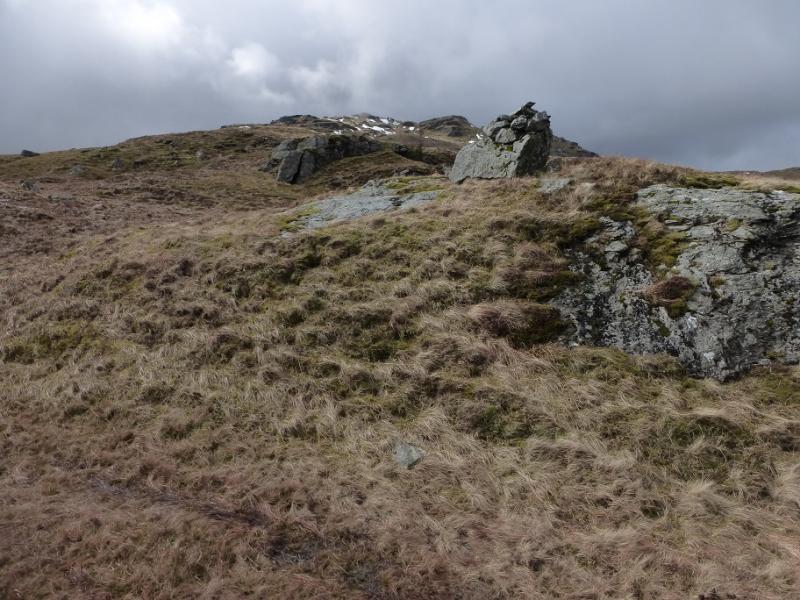
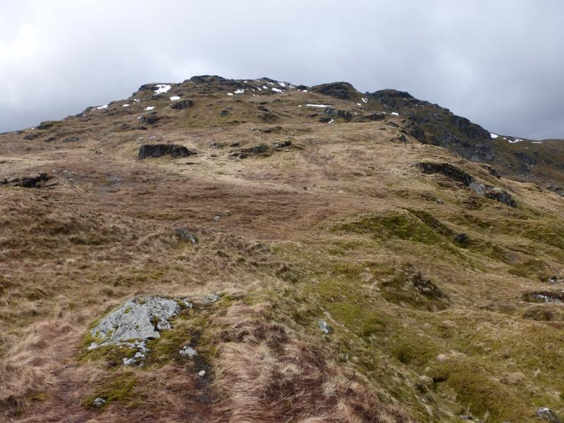
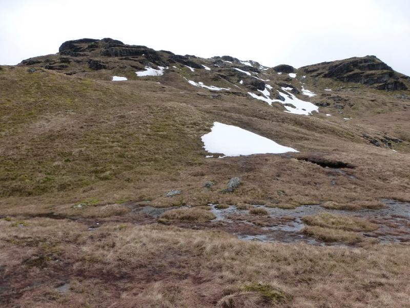
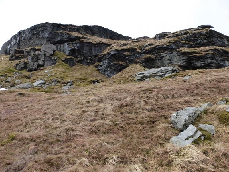
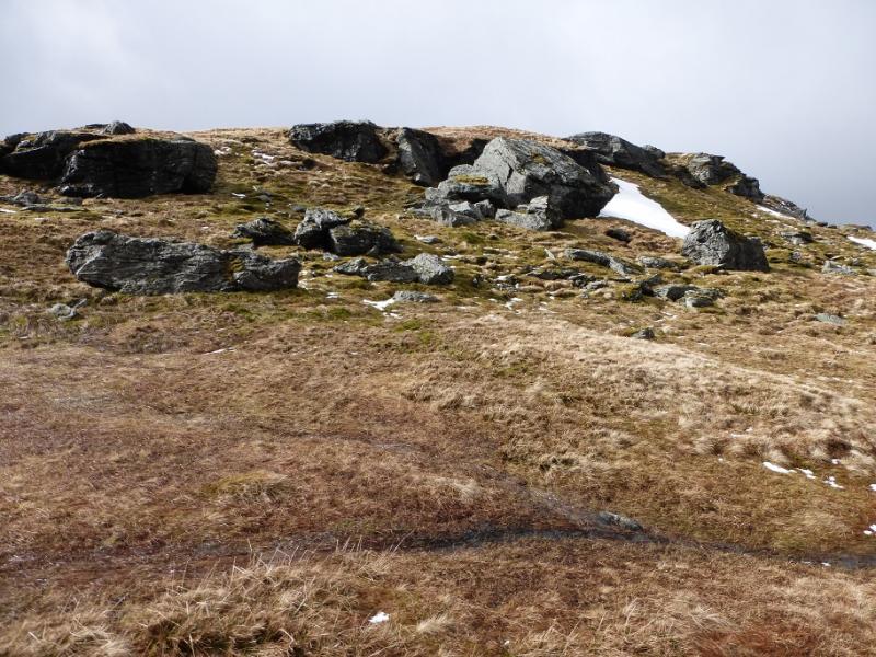
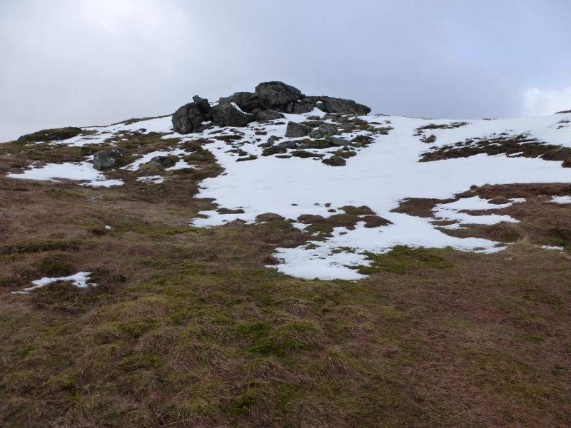
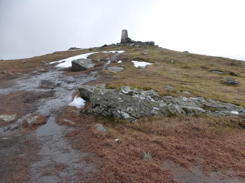
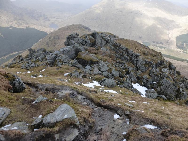
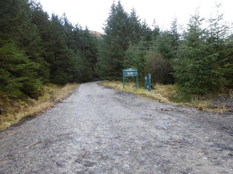
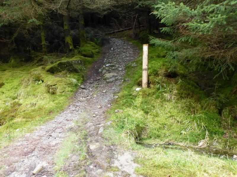
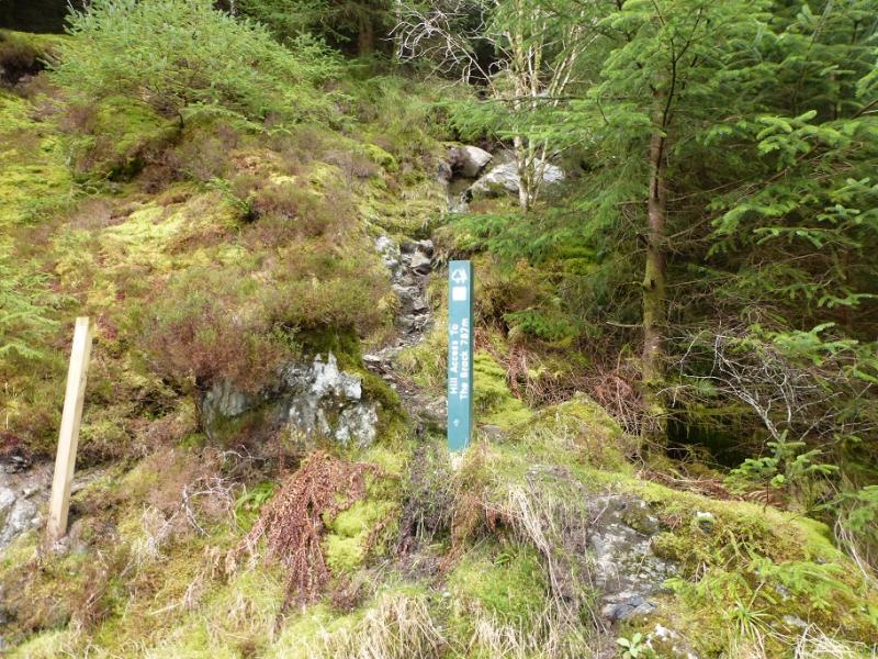
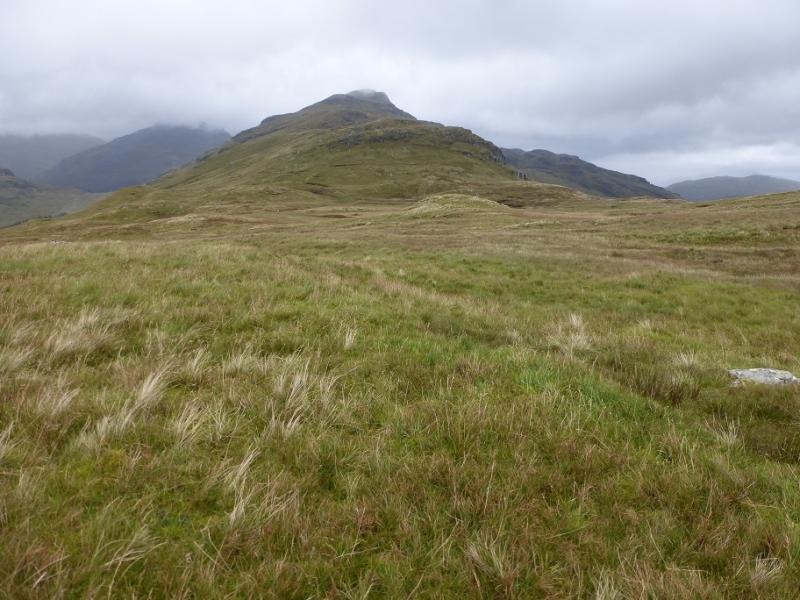
(1) Cross the bridge behind the car park and follow the track to the right for about 2 km to where it joins another track at a T junction. Turn right and within about 200 m reach the sign post for the start of the path up The Brack. This is rocky near the start then can be steep, rough and boggy. It follows a major stream up through a narrow fire break to reach a fence at the top of the forest. Soon after, the path crosses the stream and continues up its other bank with a line of crags off to the right. The path eventually leads to the E ridge where there is a small lochan. From here, continue up the E ridge, still on the path although it is faint near the lochan. Eventually reach the trig point which marks the summit of The Brack, 787 m.
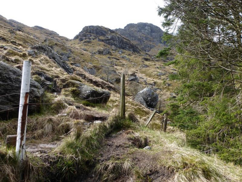
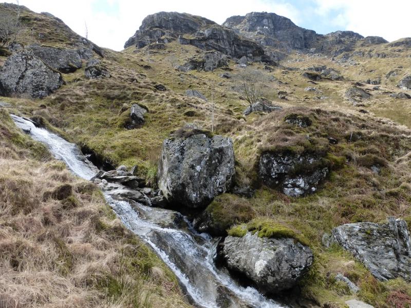
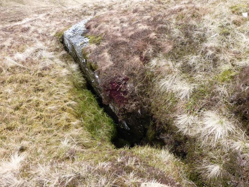
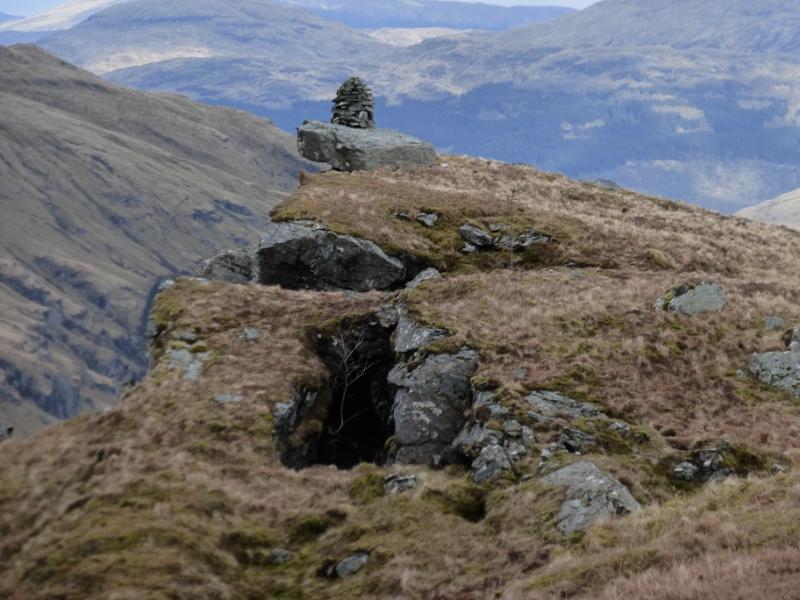
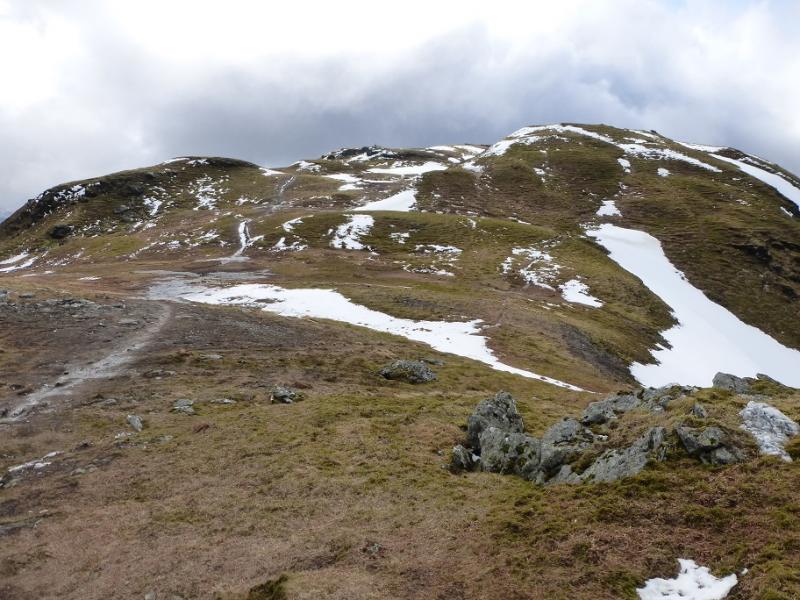
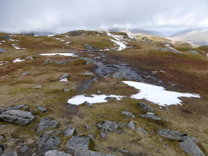
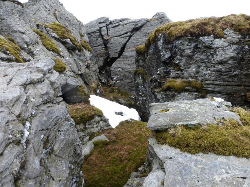
(2) Descend down the N ridge which is not as well defined as the map suggests. There is no obvious path but the ground is mainly grassy with most crags off to the right. Reach the col after a descent of about 400 m and cross the fence. Start up the E ridge of Ben Donich which is not well defined lower down with little hint of a path although the ground is not difficult. Higher up, two cairns are passed. The second one may have a cave below it. Continue up the ridge and eventually intersect with the path coming up the N ridge. Follow this left; it leads, after some distance, to a summit plateau where a trig point marks the summit of Ben Donich, 847 m.
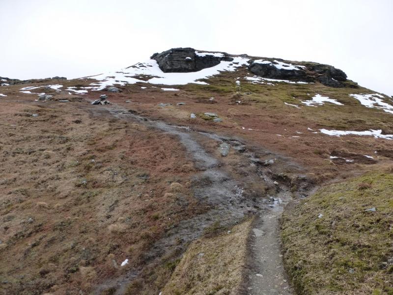
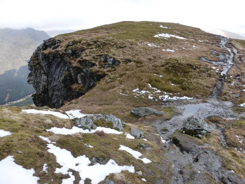
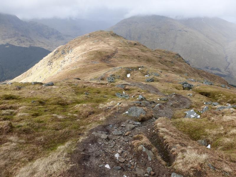
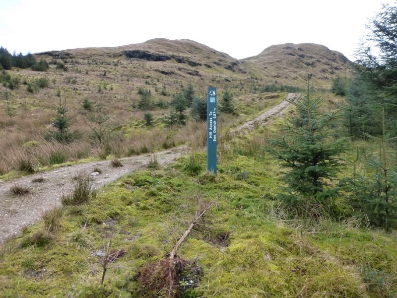
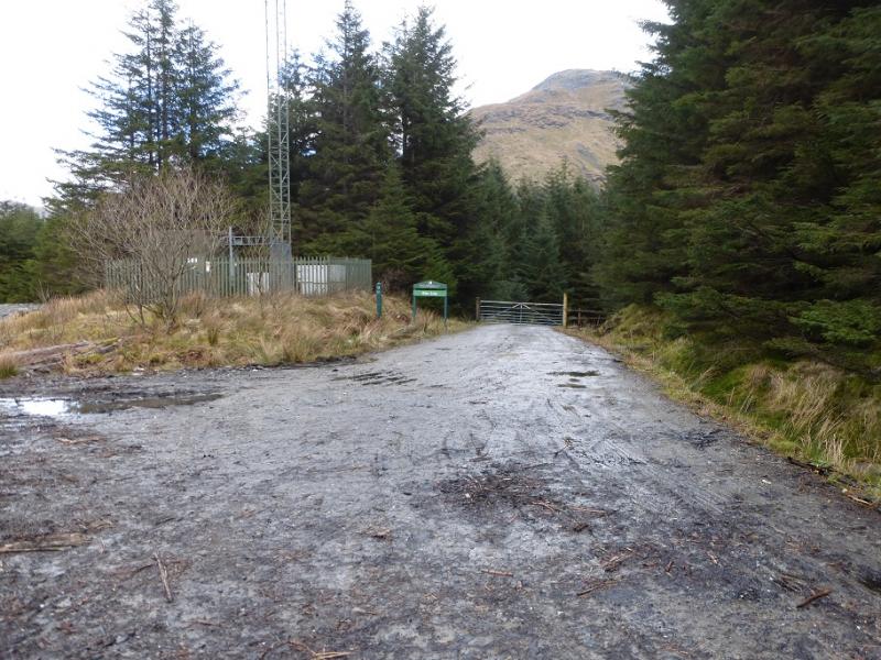
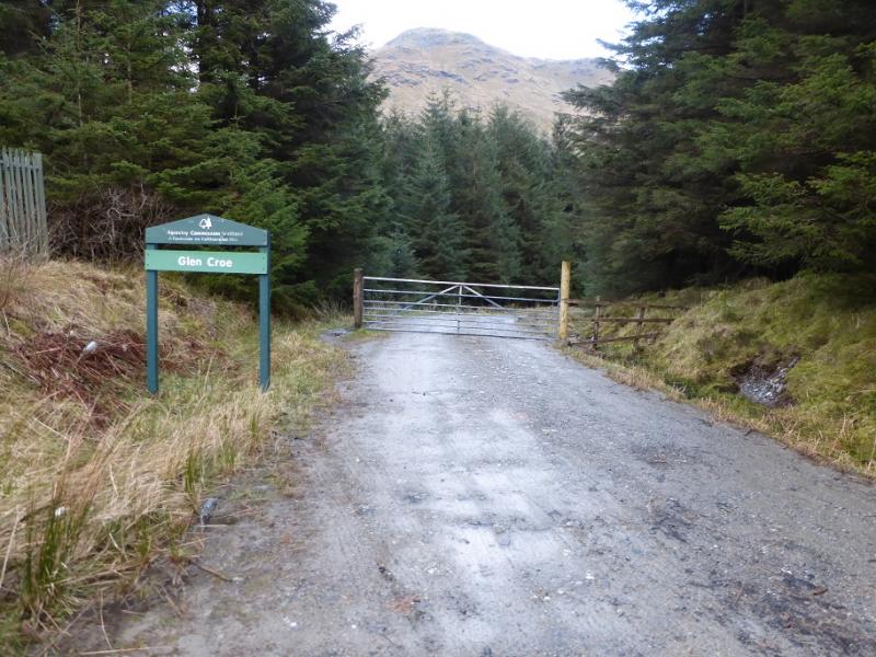
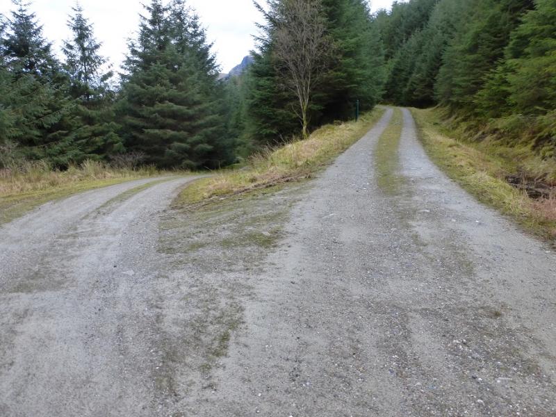
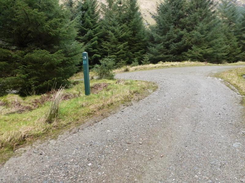
(3) Retrace along the very obvious path and follow it E, NE then NNE down the long NNE ridge. There is what seems to be a subsided section on the first level section. The path goes through this area where there are some fissures so care would be needed after heavy snow. There is an easy rock step up to exit this area before the path, now more boggy, continues down the ridge. Just above the forest, the path goes through a gate then continues down to a forestry track. Turn right and walk NE to soon reach a fork by an aerial. Take the right fork, signed Glen Croe. Follow the track down. At a fork, go right and continue past a picnic area then the path up to the col between the two hills before passing the start of the path up The Brack used earlier. Soon after, reach the T junction. Go left and follow the track for about another 2 km back to the car park.
Notes
(a) This walk took place on 7th April, 2016.
Photos - Hover over photo for caption. Click on to enlarge. Click on again to reduce.