Get Lost Mountaineering
You are here: Scotland » 01 South of Oban to Stirling and Fife » Ochil Hills
Ochils East: Innerdownie, Whitewisp Hill, Tarmangie Hill, King's Seat Hill & Andrew Gannel Hill from Glen Devon
Ochils East: Innerdownie, Whitewisp Hill, Tarmangie Hill, King's Seat Hill & Andrew Gannel Hill from Glen Devon
Start/Finish
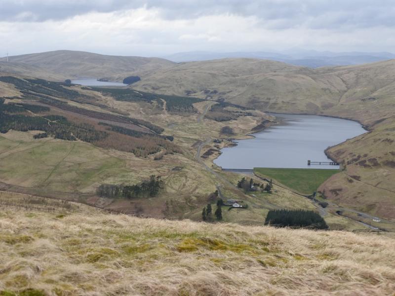
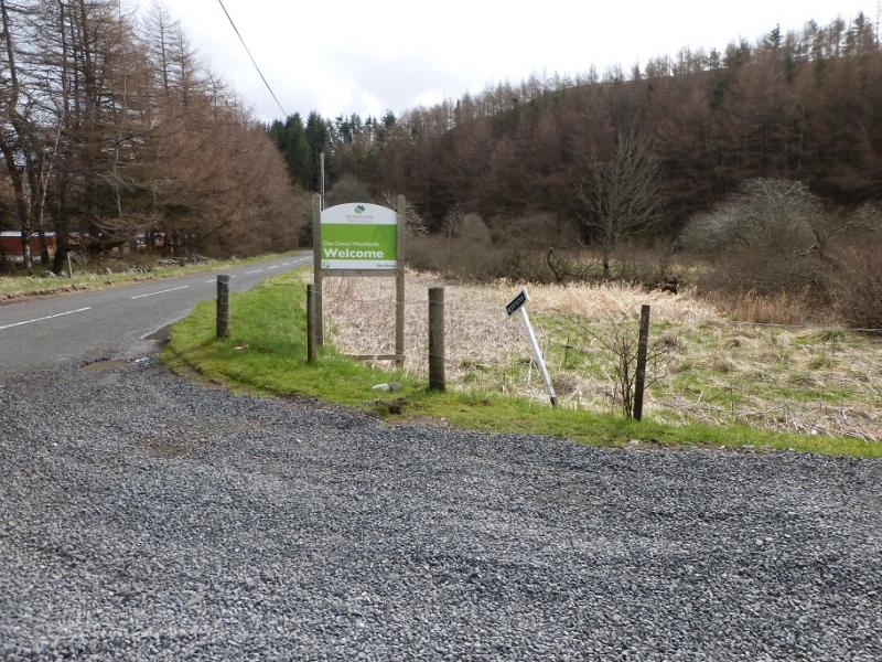
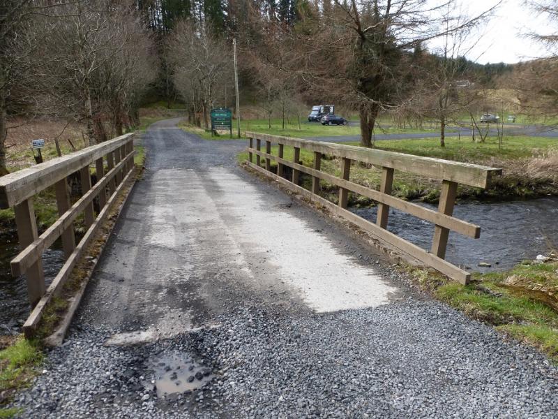
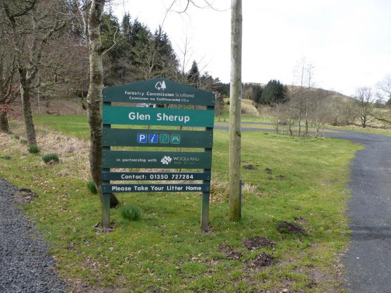
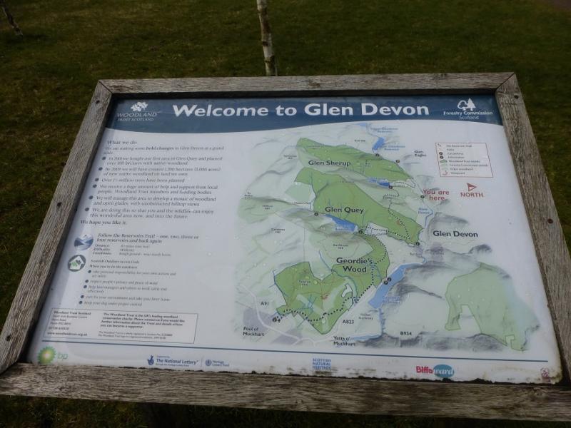
Forestry Commission free car park in Glen Devon which is on the A823 road between Dollar and Gleneagles. The car park is well signed as Glensterup and is across a bridge over the River Devon. The bridge is about 1.5 miles north of the Tormaukin Hotel and about 4.5 miles south of the A9 junction with the A823.
Distance/Time
21 km About 6 – 7 hours
Peaks
Innerdownie, 610 m, NN 966 031.
Whitewisp Hill, 643 m, NN 955 013.
Tarmangie Hill, 645 m, NN 942 014.
King's Seat Hill, 648 m, NS 933 999.
Andrew Gannel Hill, 670 m, NN 918 006. OS Explorer 366: Stirling & Ochil Hills
Introduction
The Ochils contain many summits but, surprisingly, only one Graham showing how little drop most of the tops have. The Ochils dominate the view on the north side of the River Forth between Stirling and Kincardine. There are many paths but also some wet and boggy ground although not much on the eastern end of the range.
Route
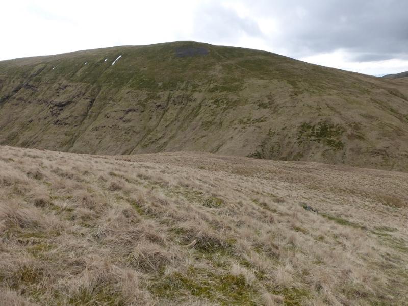
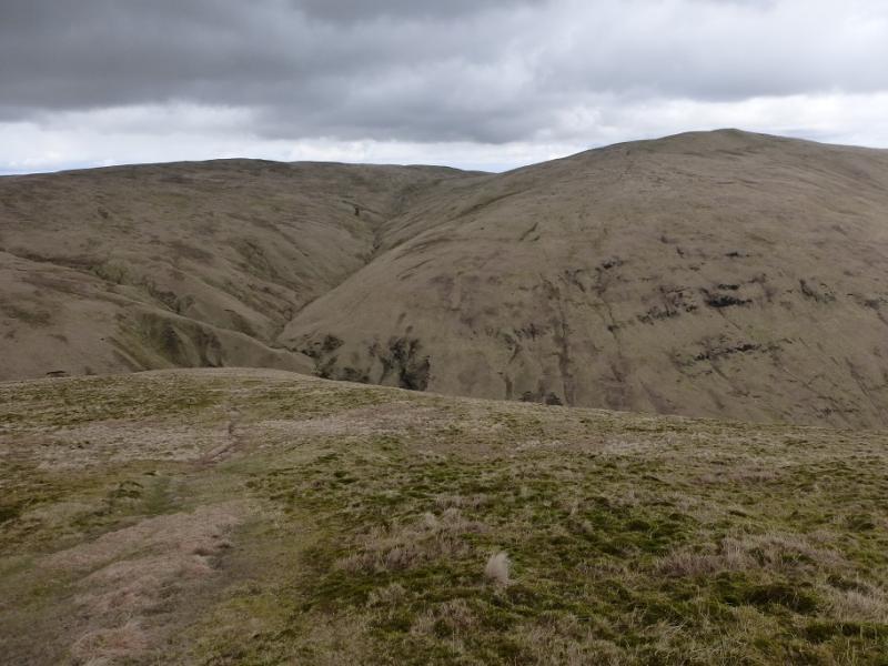
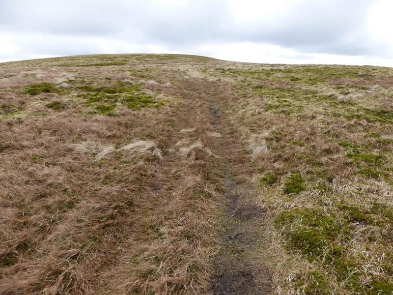
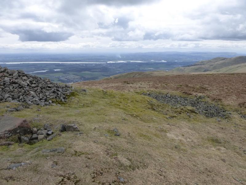
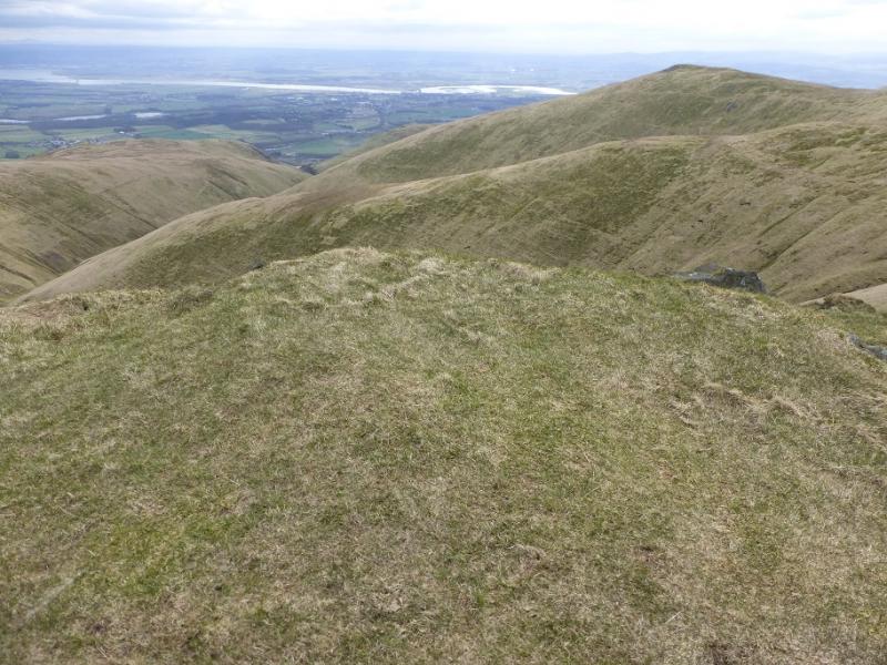
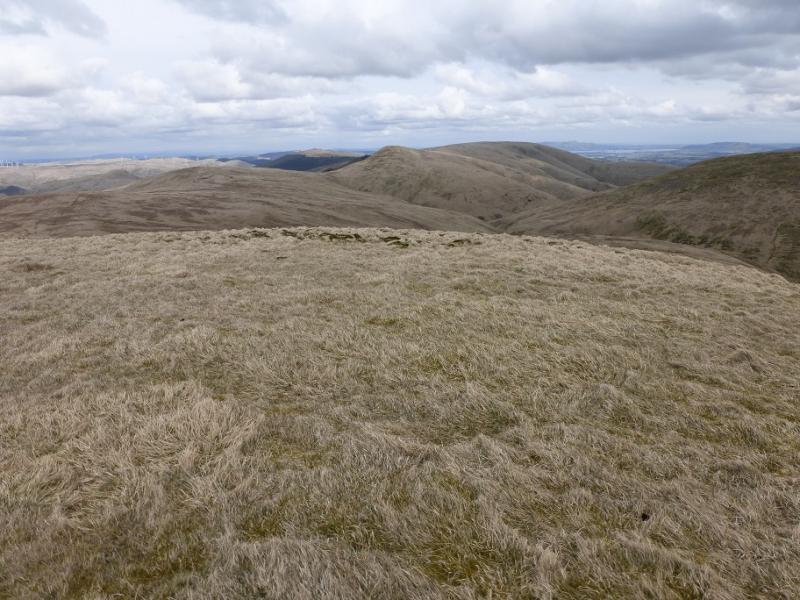
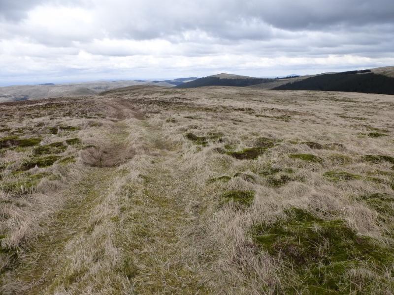
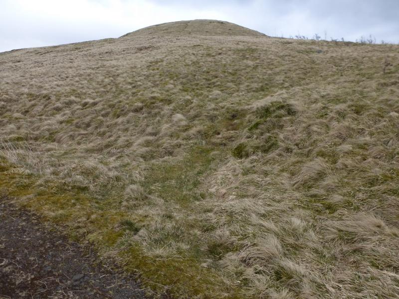
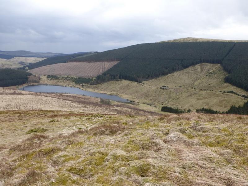
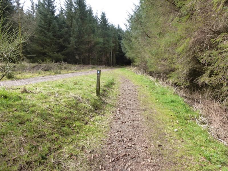
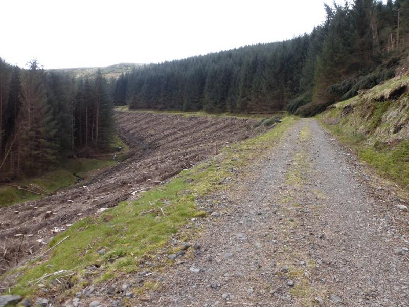
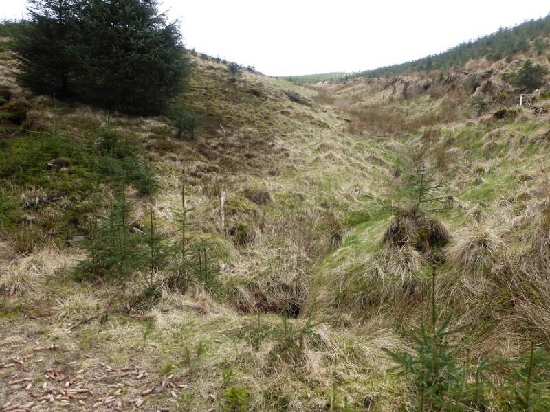
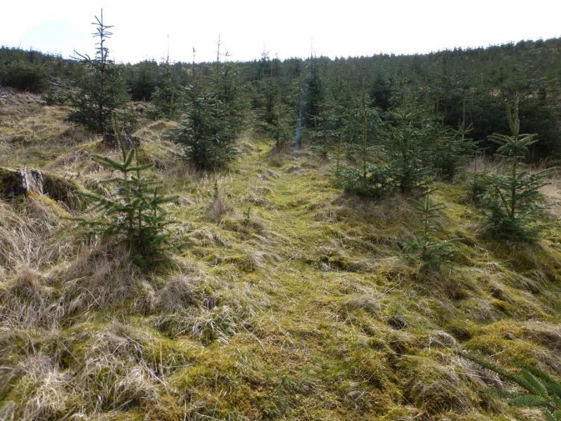
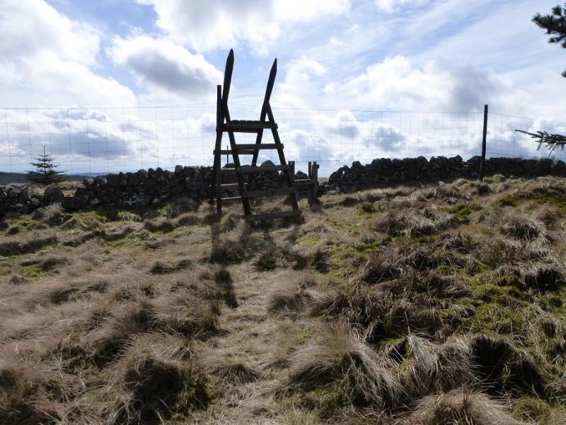
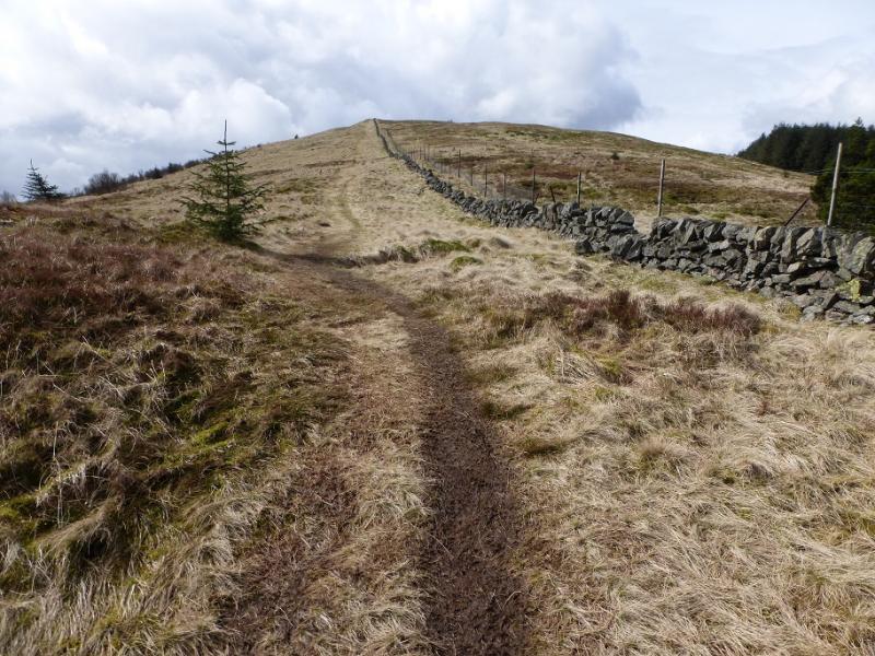
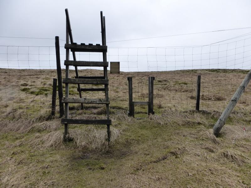
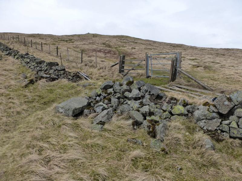
(1) Walk out of the car park on the path, signed for Glensherup Reservoir, by the information board. The path soon joins a track which is followed past the reservoir (below to the right). It then twists and turns before ascending almost due S above the Back Burn (on the left) around which the trees had been cleared on 8/4/16. At the top of this section of ascent and just before a hair pin bend, there is a clearing on the right down which a stream descends. Follow the faint path up this clearing; it has a few short wet sections. Higher up, the path passes through some scattered conifer seedlings and may be difficult to use when the trees grow larger. Further on, a narrow short fire break through mature trees leads to a stile by the wall up the NE ridge of Innerdownie. Follow the ridge up and, in anout 1 km, reach the medium cairn which is the summit of Innerdownie, 610 m.
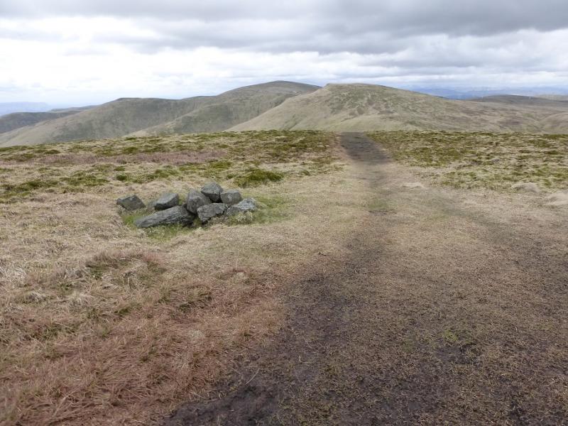
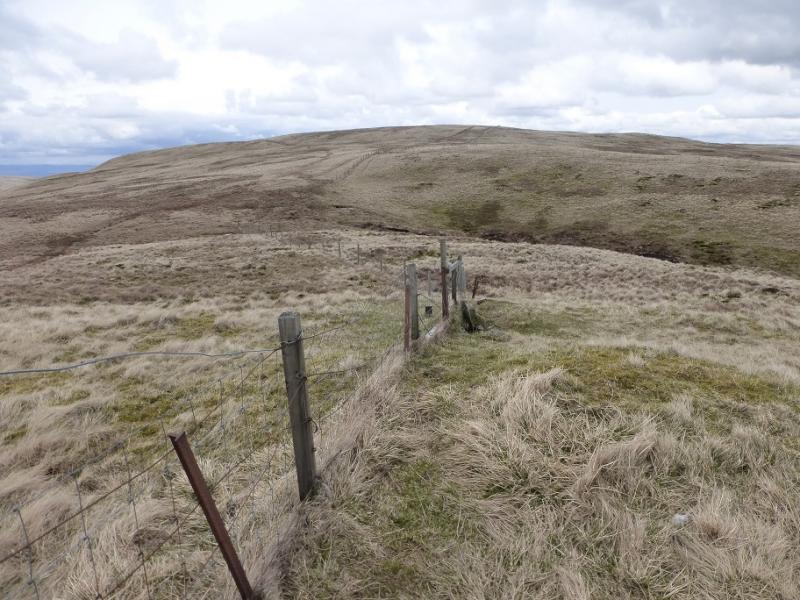
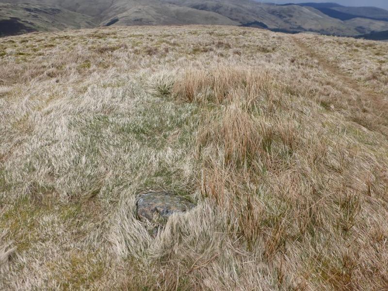
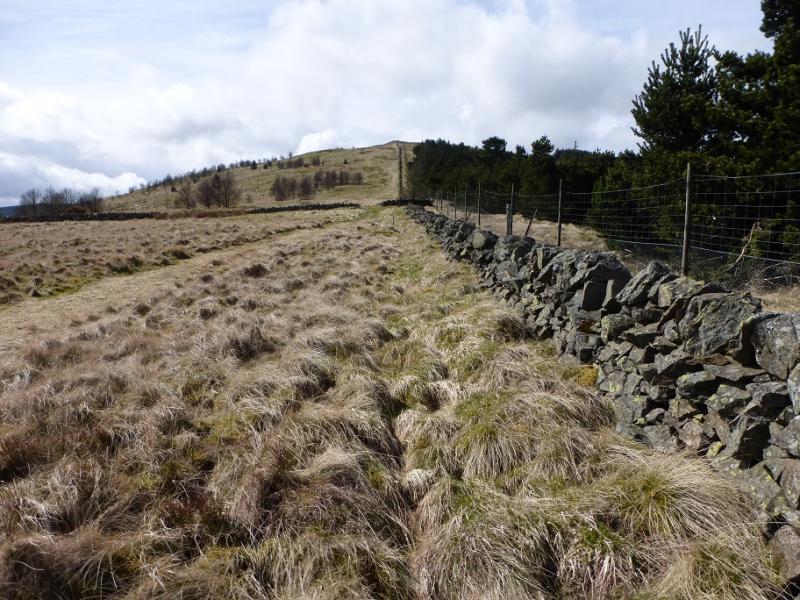
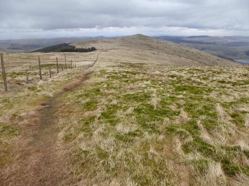
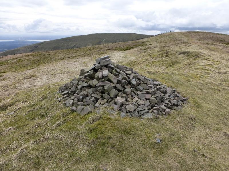
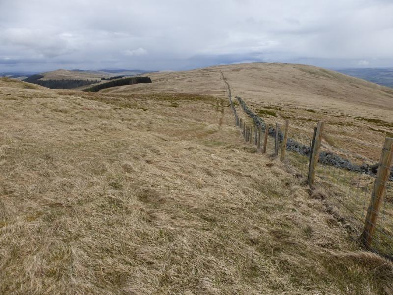
(2) Continue along the crest, gently descending to the shallow col known as Bentie Knowe and passing a shelter hollow. Continue following the wall/fence out of the col until a junction is reached. Cross over and continue in the same direction on a faint path to reach the medium cairn which is the summit of Whitewisp Hill, 643 m.
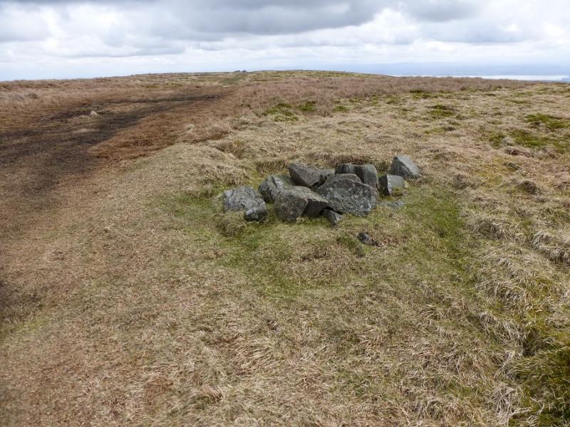
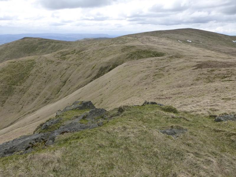
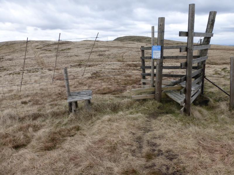
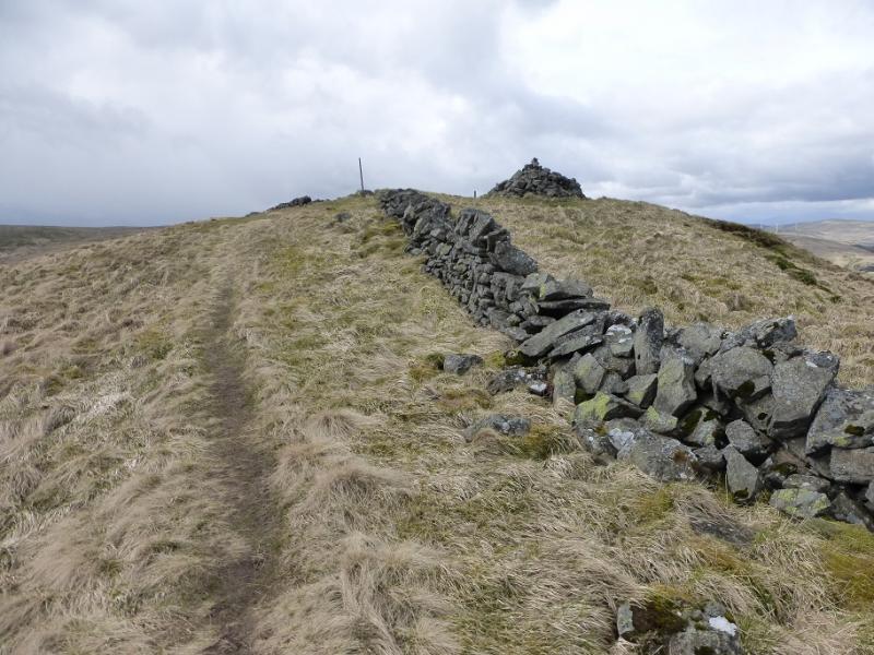
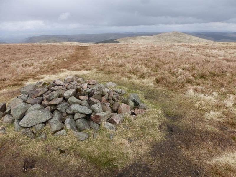
(3) The path turns right, W, and soon rejoins the fence/wall which is followed down to a very shallow col then up gentle slopes. The path splits; take the right fork through the wall and then a gate and follow it up to a large cairn. There is a smaller cairn nearer to the wall. It is difficult to tell which is the higher so visit both to claim the summit of Tarmangie Hill, 645 m.
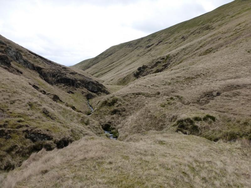
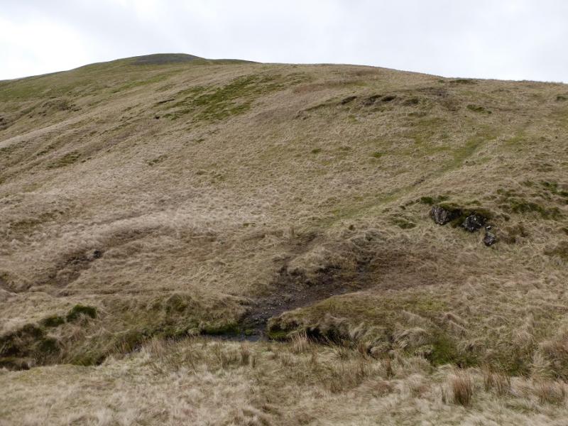
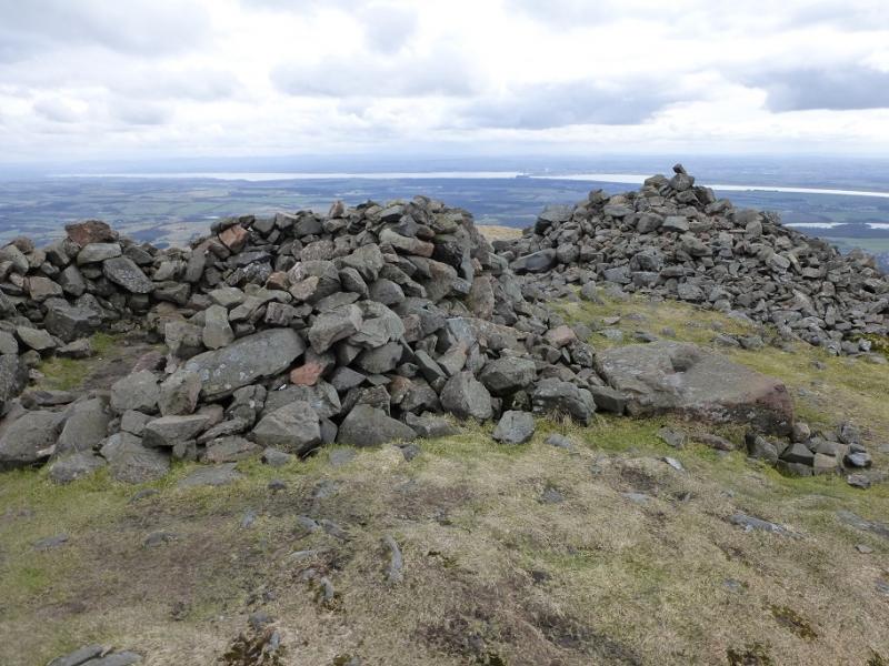
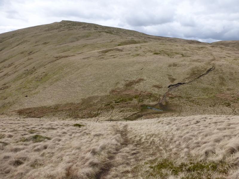
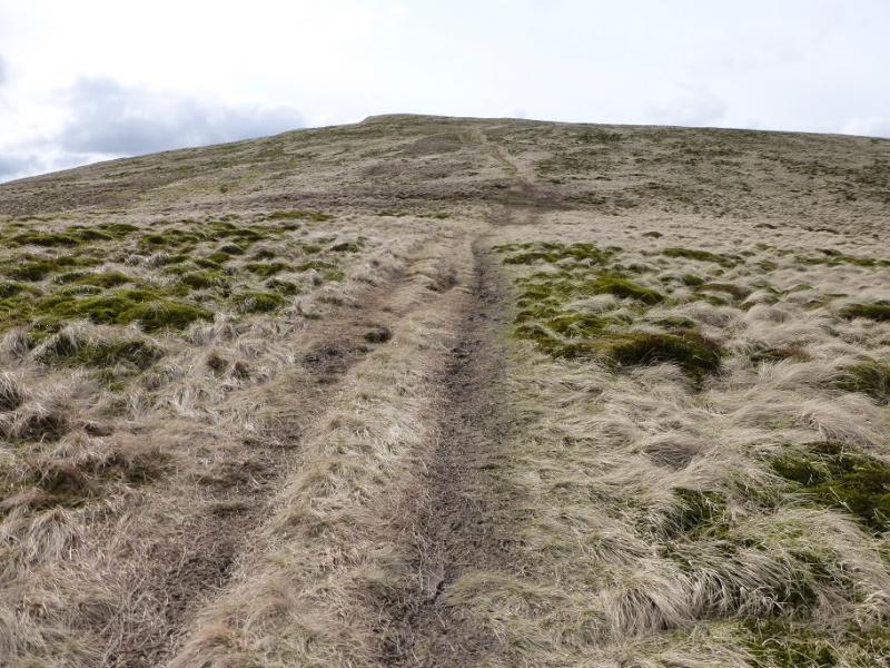
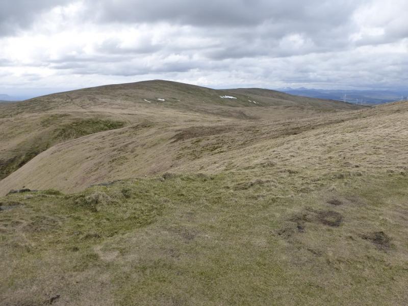
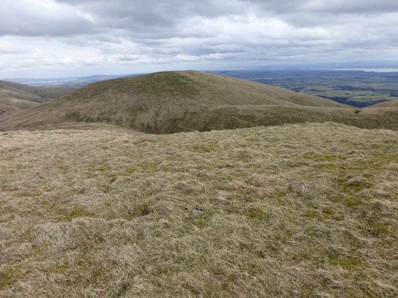
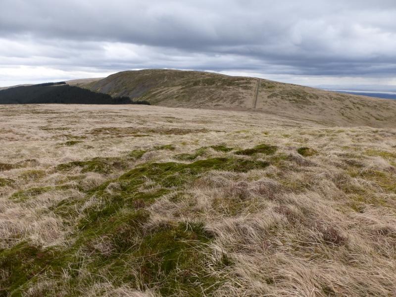
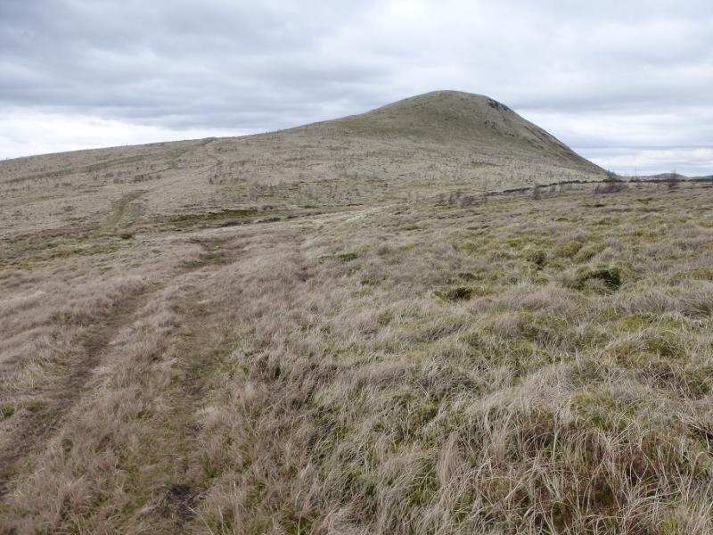
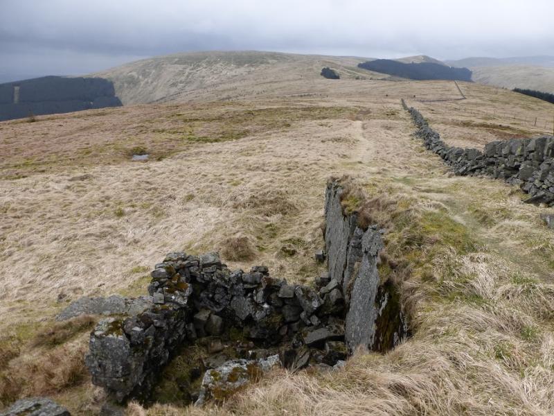
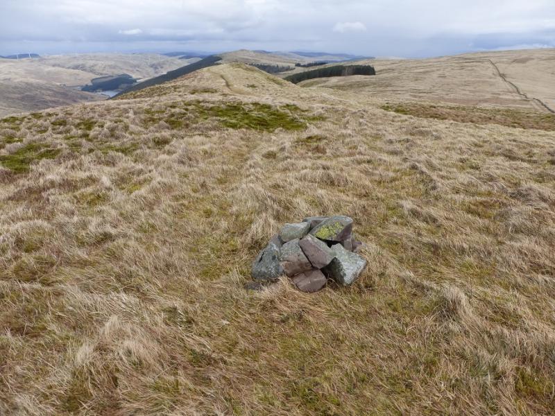
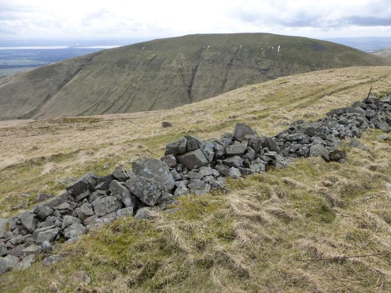
(4) Continue following the wall, descending to a corner where a path goes off SW descending towards the head of the Glen of Sorrow – the valley between Tarmangie Hill and King's Seat Hill. A lot of height is lost. At the bottom, follow the path across the burn and follow a path up the N ridge of King's Seat Hill, regaining all the lost height. When the angle eases, soon reach a small cairn which is the summit of King's Seat Hill, 648 m. The path continues to a much larger, but lower, cairn which can be visited. However, one will have to return to the smaller cairn.
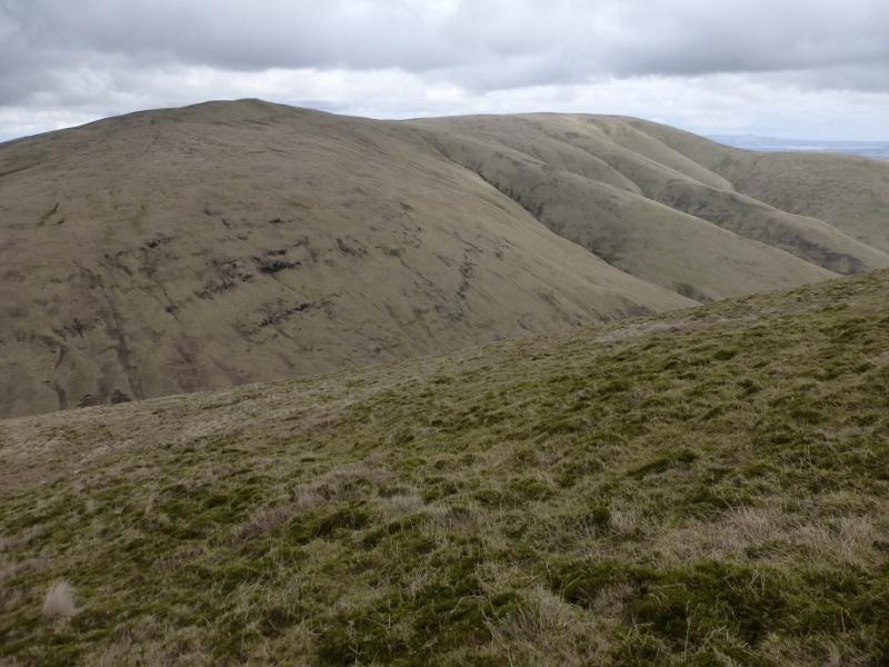
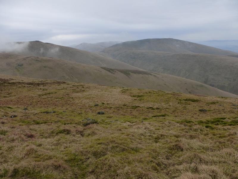
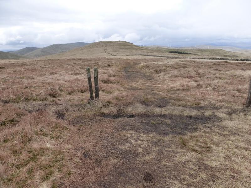
(5) From the small cairn, retrace the descent towards the Glen of Sorrow and take the first path forking off left. This is not the one from the cairn. Follow the path NW down to the narrow col then up the other side on an obvious path. Reach a small grassy plateau where the highest point seems to be overlooking the Gannel Burn – there is no cairn. The OS have the highest point further back, NW, by the fence but it is hard to tell which is the higher so visit both to claim the summit of Andrew Gannel Hill, 670 m.
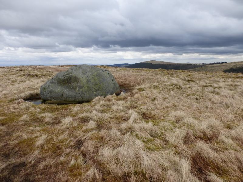
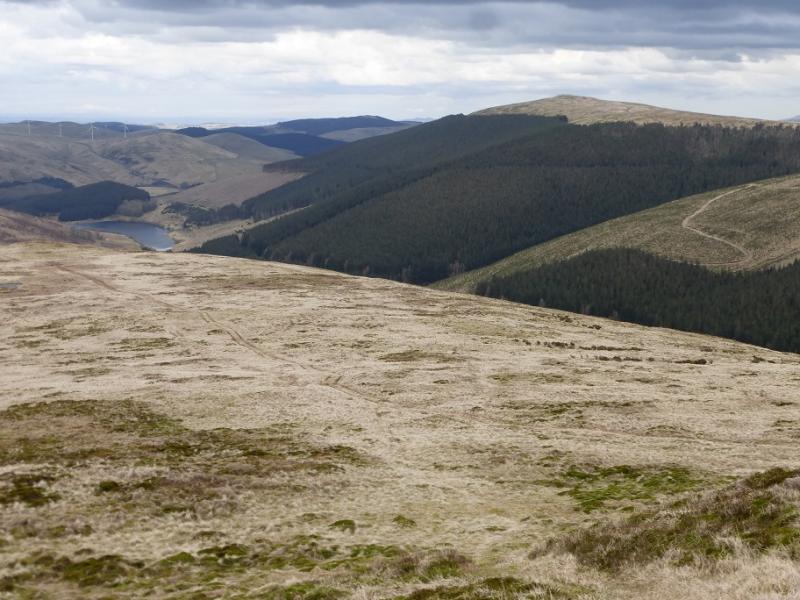
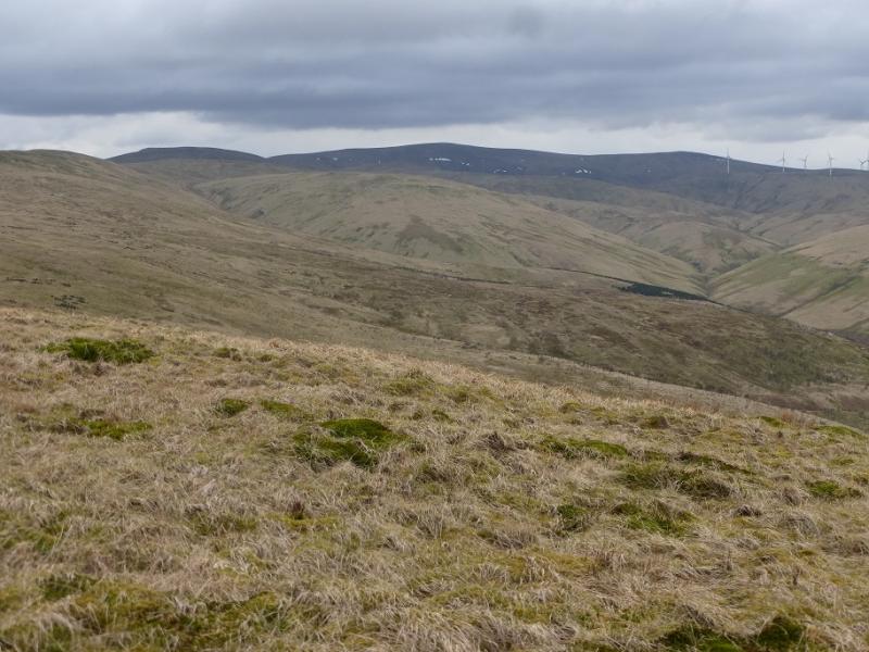
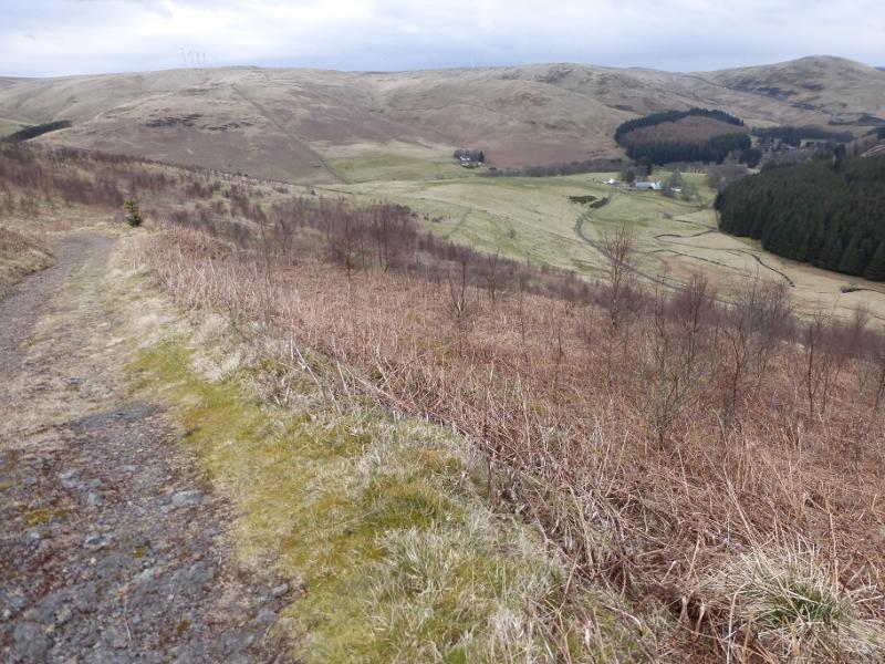
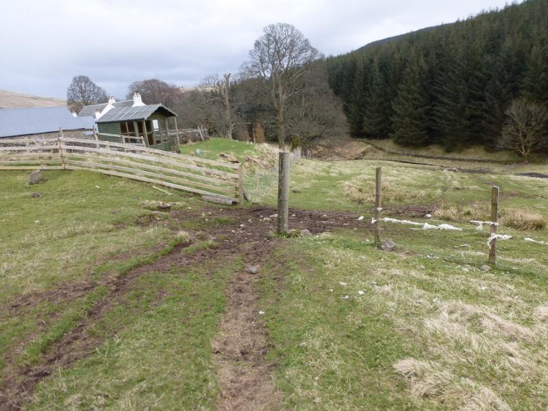
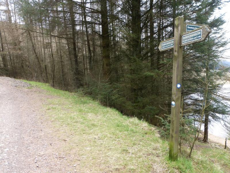
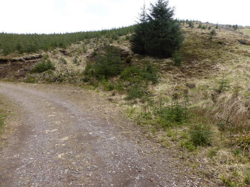
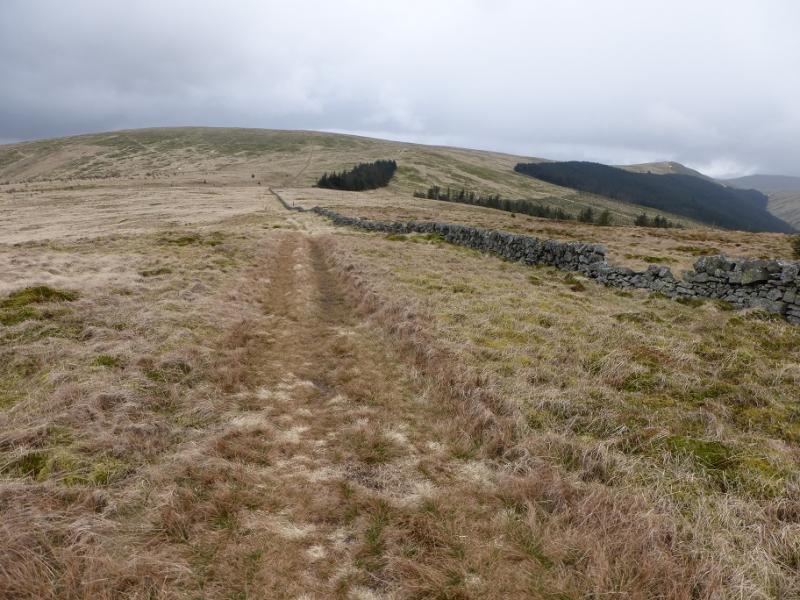
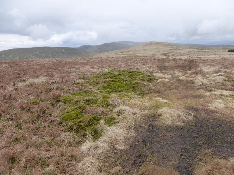
(6) Descend NE following the path by the fence and continue over Maddy Moss to a T junction then continue up an ATV on to and along Cairnmorris Hill. The track continues on to Scad Hill where there is a solitary large boulder then on over Mailer's Knowe before descending to a shallow col before a wall before Ben Shee. The track goes to the left of Ben Shee and is soon joined by a semi-gravel track. Follow this a little further until a faint path goes off to the right and ascends up to the top of Ben Shee wher ethere is no cairn. The path continues along the crest and soon forks. Take the left fork and follow it to rejoin the track which is then followed down to the farm at Wester Glensherup joining a tarmac road at a sign post. Cross over, no sign for this direction, and follow a path down to the Sherup Burn. Follow this back to the car park, crossing it before it flows into the River Devon. After rain, the crossing will be awkward so avoid it by following the road from Wester Glensherup to the A823 then reach the car park from the main road.
Notes
(a) This walk took place on 8th April, 2016.
Photos - Hover over photo for caption. Click on to enlarge. Click on again to reduce.

.JPG)