Get Lost Mountaineering
You are here: Scotland » 01 South of Oban to Stirling and Fife » Dunoon, Lock Eck and Lochgoilhead
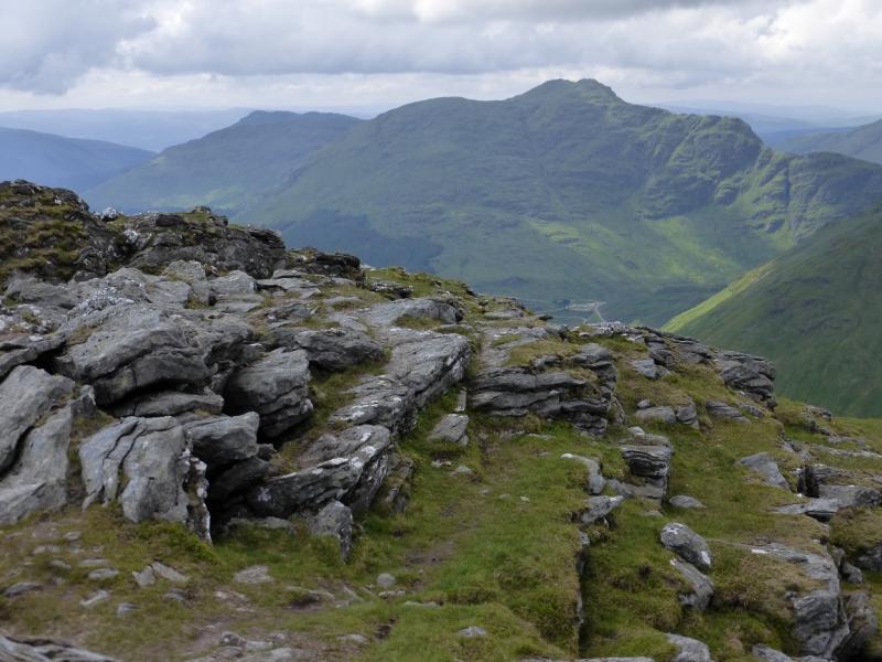
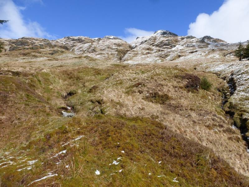
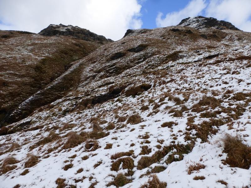
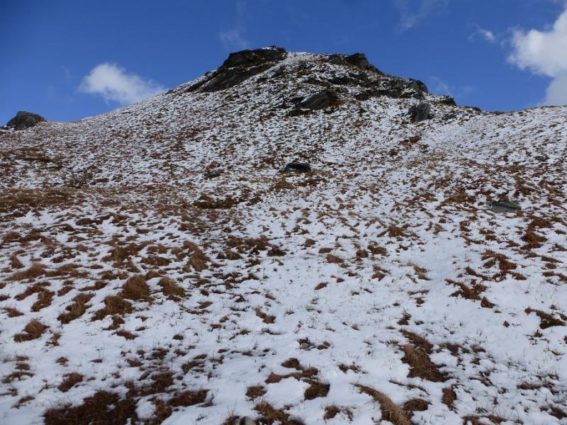
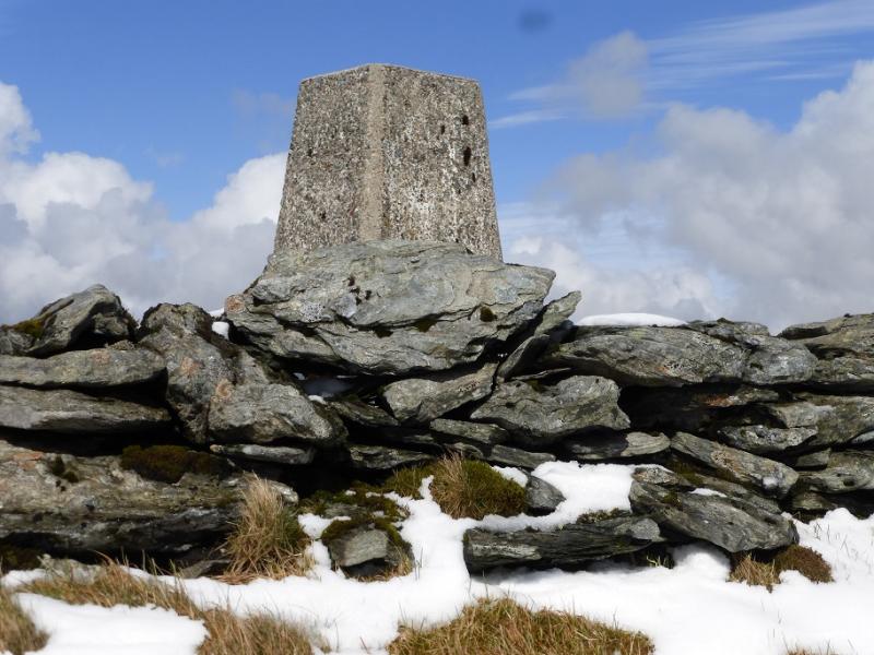
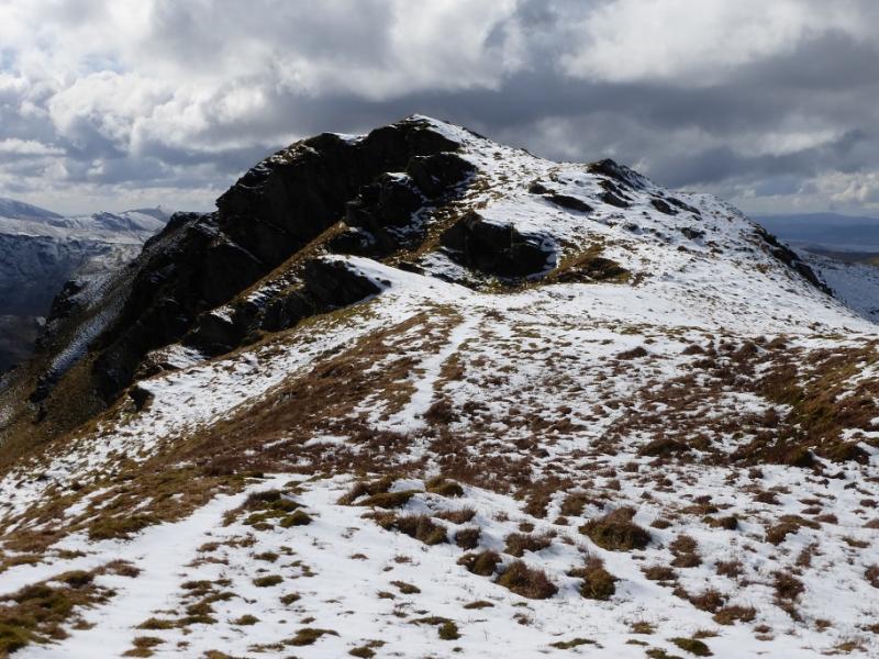
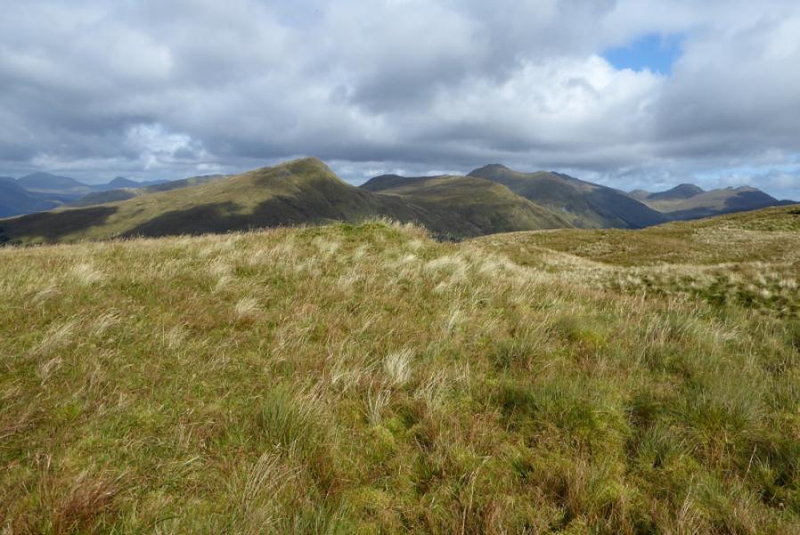
Stob an Eas from top of Hell's Glen
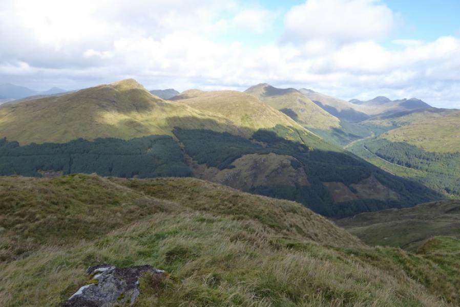
Stob an Eas from top of Hell's Glen
Start/Finish
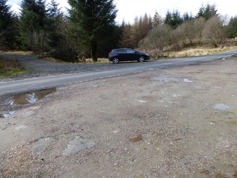
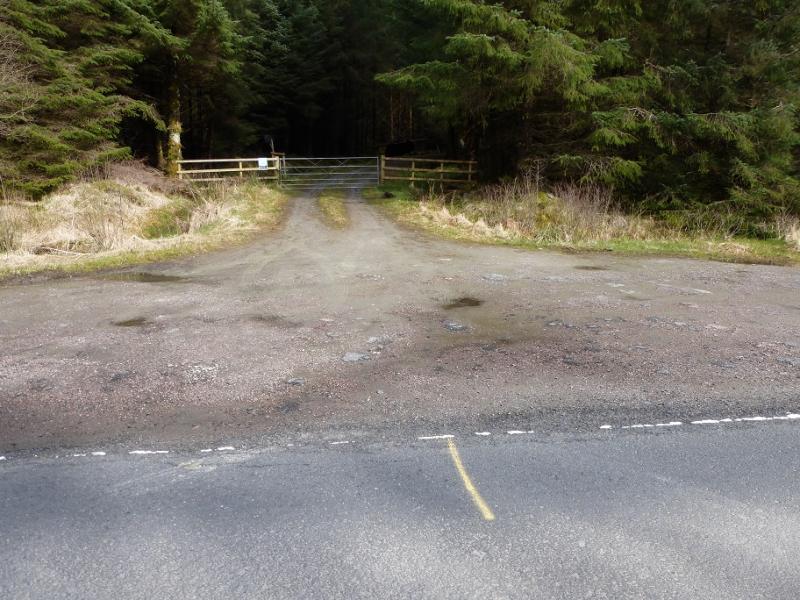
The top of Hell's Glen otherwise known as Gleann Beag where there is parking where tracks go left and right from the road, B839, at NN 167 064. Hell's Glen is a narrow road and lies between the B828 road from the Rest and Be Thankful and Lochgoilhead and the A815 road from Glen Kinglass to Strachur (then Dunoon). The B828 is also very narrow so it is much easier to access the start from the A815 giving only just over a mile of narrow road driving. If coming from Arrochar, go over the Rest and Be Thankful and down the other side, past Butterbridge, then drive through Glen Kinglass taking the A 815 before Cairndow – it is the only significant junction off Glen Kinglass. Follow the A815 for just over 2 miles to reach the B839. Note that in winter conditions, the Rest and be Thankful pass may be closed. The road is also prone to closures from landslides. If coming from Inverary, go around the head of Loch Fyne and through the hamlet of Cairndow then take the right turn on to the A815 shortly after entering Glen Kinglass. The turning for the B 839 is just over 2 miles down the A815.
Distance/Time
9 km About 5 – 6 hours.
Peaks
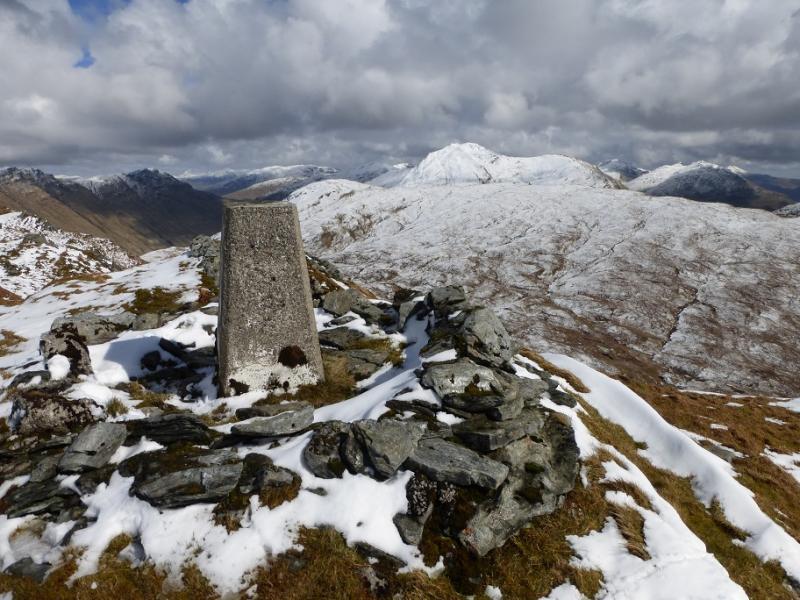
Stob an Eas, 732 m, NN 185 073. OS Sheet 56: Loch Lomond & Inverary.
Introduction
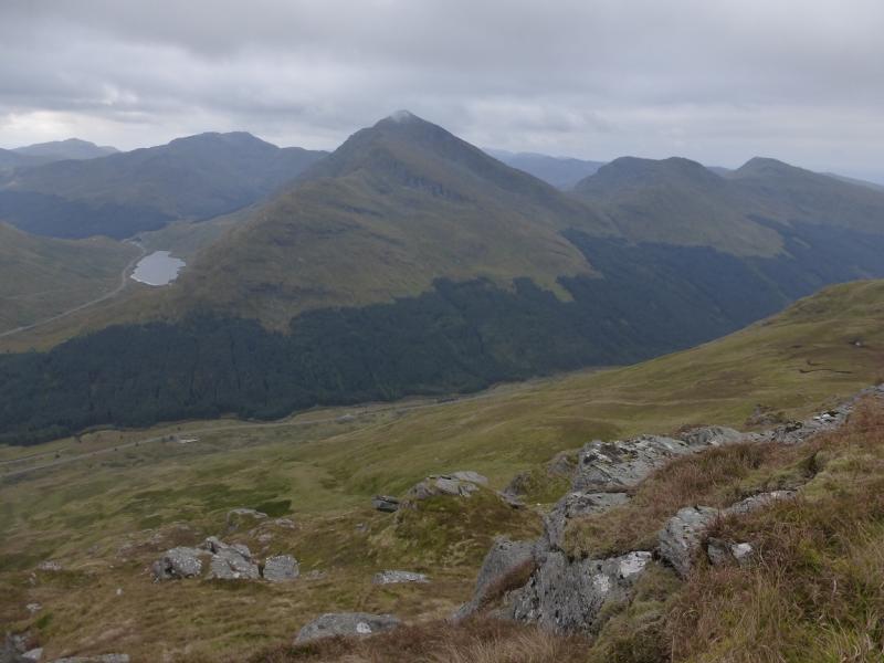
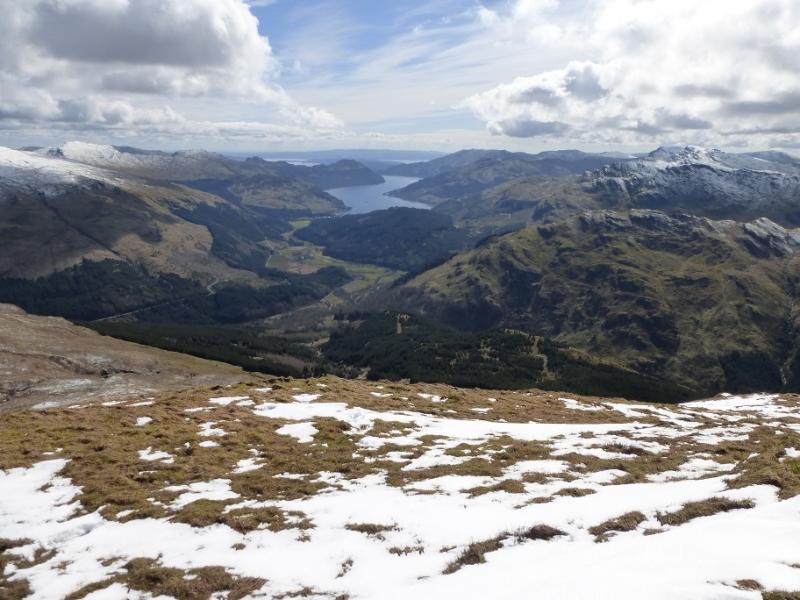
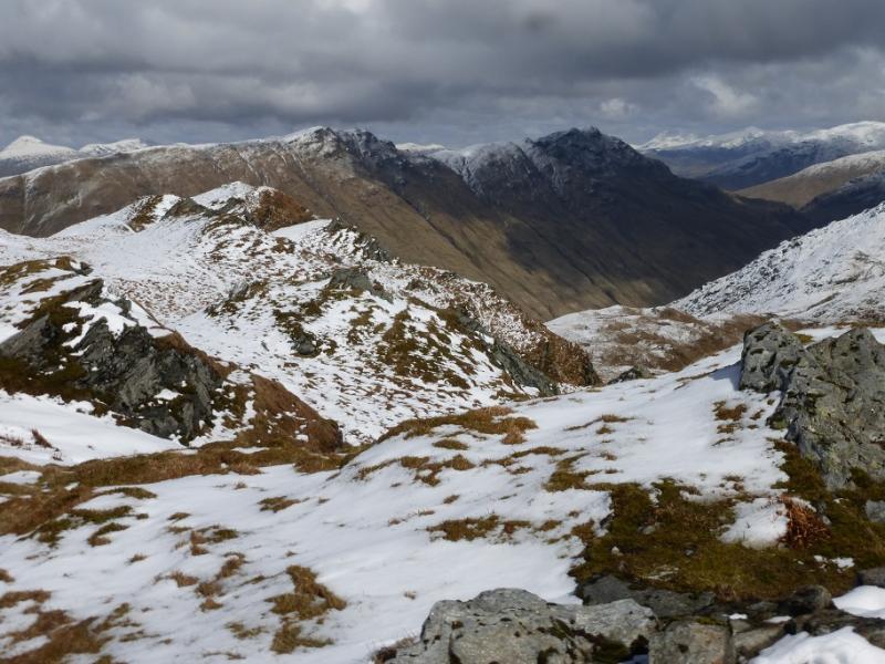
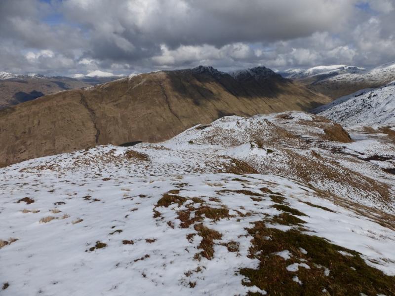
Stob an Eas is an attractive rocky and rugged mountain which should not be underestimated especially under snow when the ascent up its nose can be “interesting” especially to the inexperienced. In Summer conditions, the ascent is much more straightforward. A good track takes one through most of the forest before an unpleasantly boggy path continues to open hillside. Stob an Eas is an excellent viewpoint for Beinn an Lochain, Binnein an Fhidhleir, Ben Donich, The Brack, Cnoc Coinnich, Loch Goil and Cruach nam Mult which is directly across Hell's Glen. In good weather, one can see further afield to the Arrochar Alps.
Route
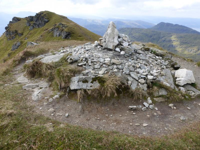
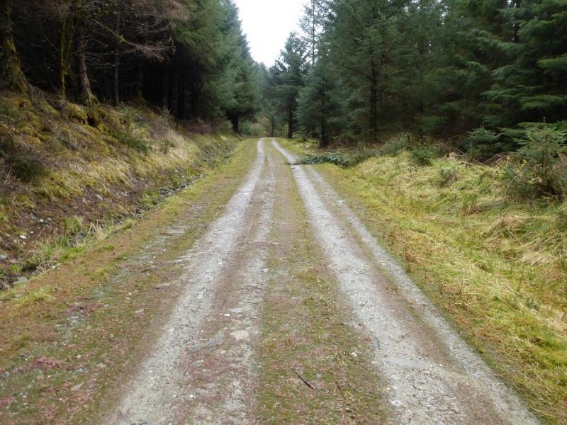
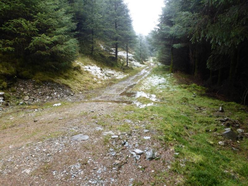
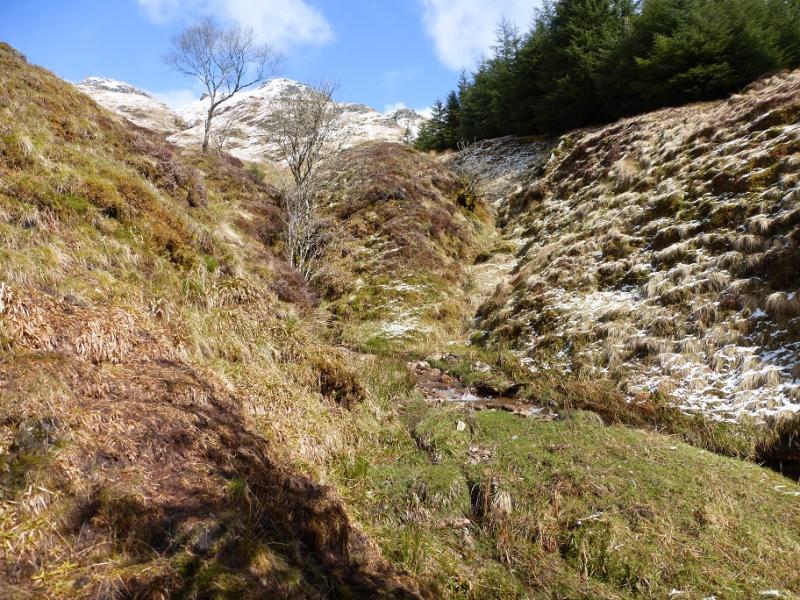
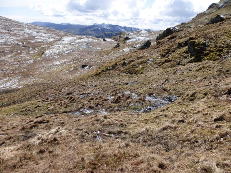
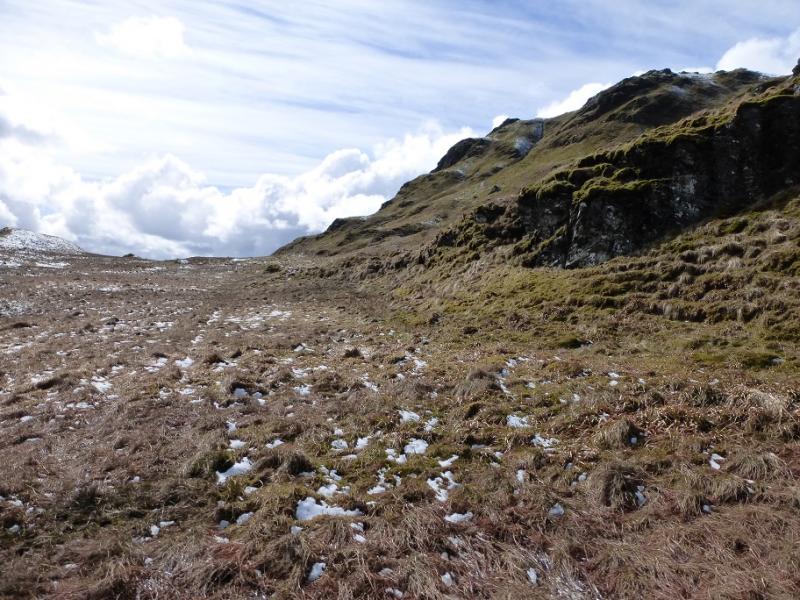
(1) From the top of Hell's Glen, take the track on the E side of the road and follow, for about 1.2 km, it to its end where it becomes a path which is horribly boggy in places. After about 800 m, the path reaches a significant burn with a clearing uphill. Leave the path here and go up the W side of the burn, crossing over when easy to do so. Continue up the E side. The path can be quite faint. The burn goes into a gorge so go up the ridge on its E side. This is steep and can be very slippery when wet or under snow; one could slide some distance. Easier ground may be found a little further E. Continue up with the ground gradually steepening. Any crags are easily avoided. When the gradient eases, the crest is soon gained and a trig point marks the summit of Stob an Eas, 732 m.
(2) Either retrace the outward route, taking care on the steep section, or continue along the crest, roughly NE, descending to the bealach with Beinn an t-Seilich at about NN 195 080. There are many steep crags to the right of the ridge so some will want to detour left in places but it is less steep than the ascent route. From the bealach, keep to the W of the glen floor which is quite boggy. Walk SSW then SW to cross the ascent nose of Stob an Eas to reach the ascent burn which flows down to the boggy path which is then retraced to the good track and the start. Note that there is a similar looking clearing further E which the burn in the glen between Stob an Eas and Beinn an t-Seilich flows down to. Don't be tempted to go this way.
Notes
(a) This walk took place on 9th April, 2016, and about 15 years previously.
Photos - Hover over photo for caption. Click on to enlarge. Click on again to reduce.