Get Lost Mountaineering
You are here: Scotland » 03 North-west Argyll, Appin and Glencoe » Glencoe
Meall Ligniche
Meall Ligniche Glencoe
Start/Finish
"Car park” just E of bridge below Signal Rock in Glencoe, NN120564.
Distance/Time
14 km Approx 5 hours
Peaks
Meall Ligniche, 772 m, NN 094 528. OS sheet 41.
Introduction
This Corbett is well back (S) from Glencoe about 2 km NW of the Munro Sgor na h-Ulaidh. Crossing burns after heavy rainfall can be a problem in this area but this route avoids any difficult crossings.
Route
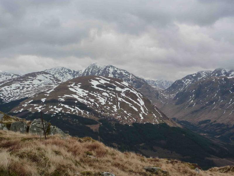
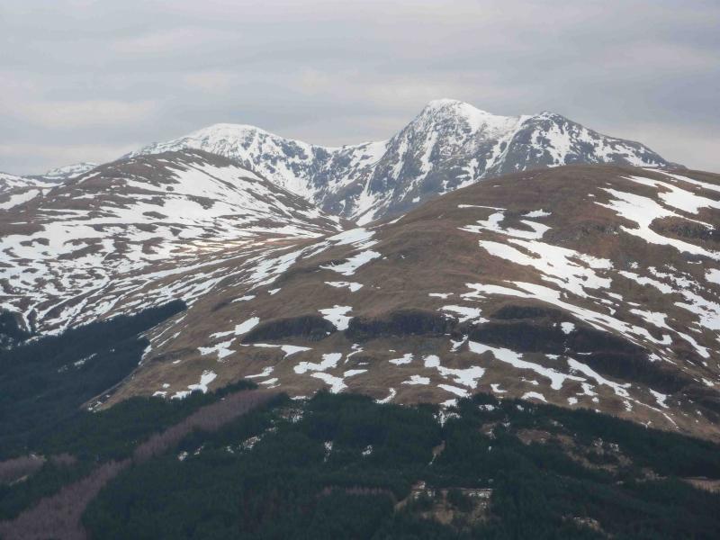
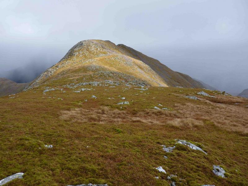
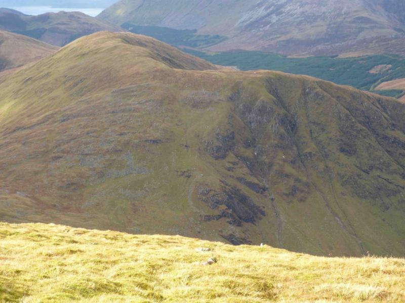
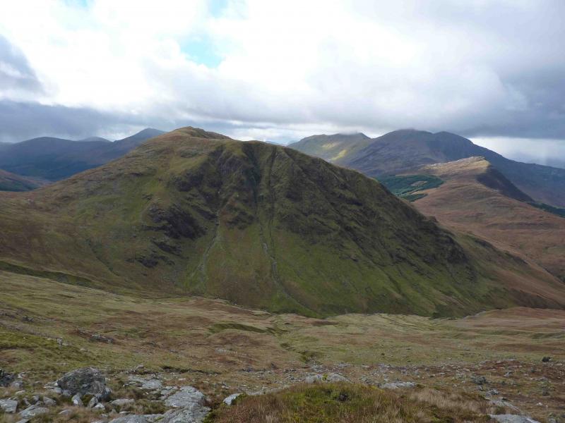
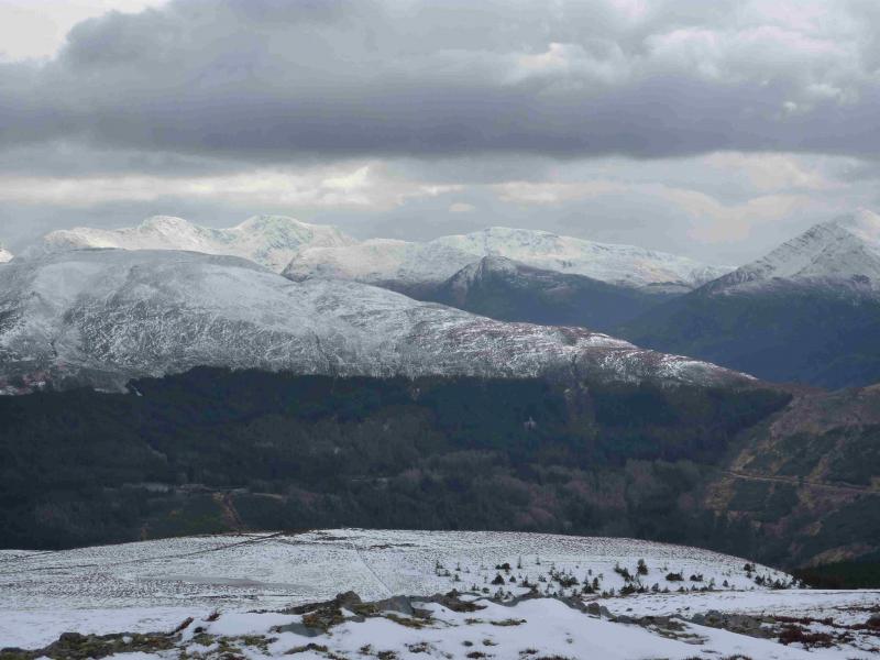
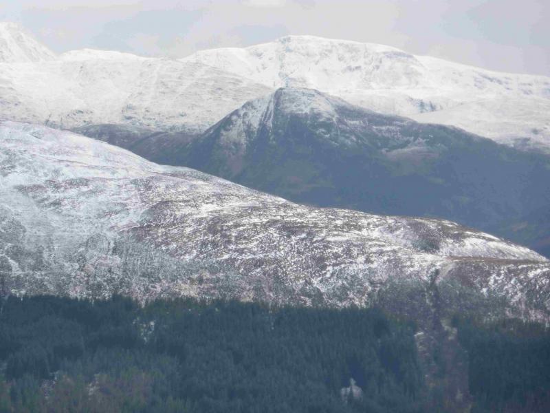
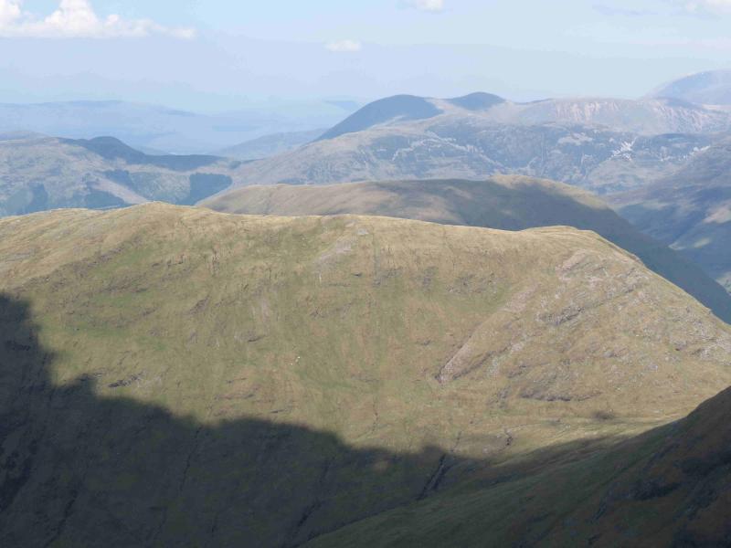
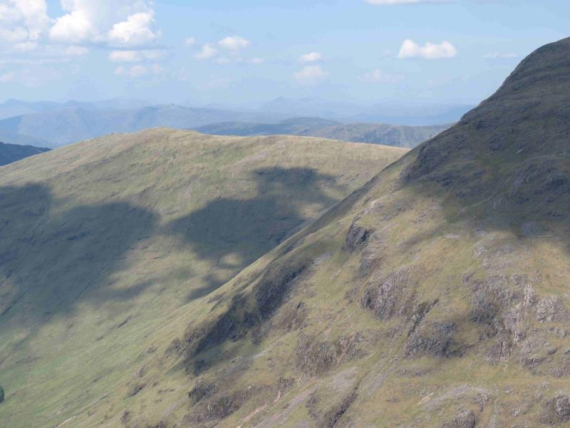
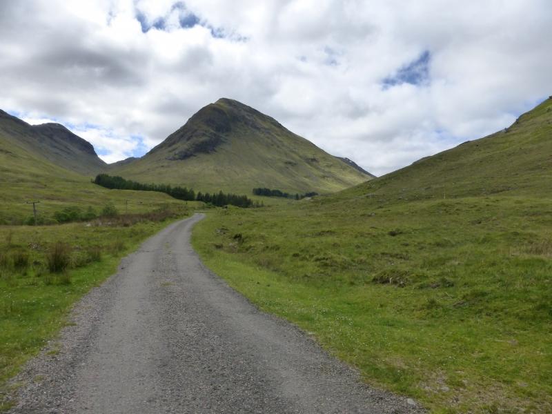
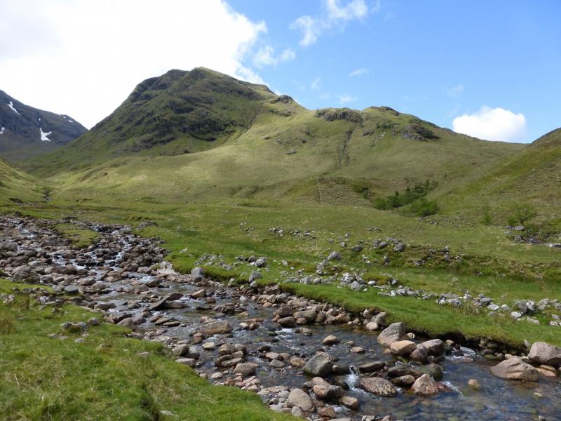
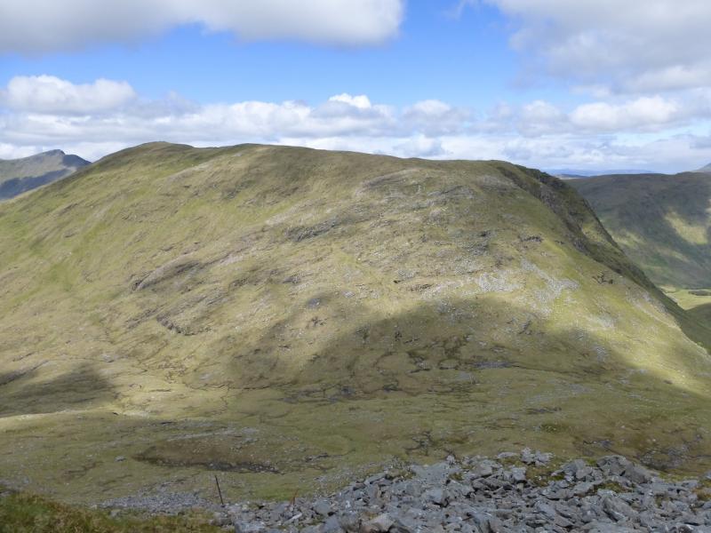
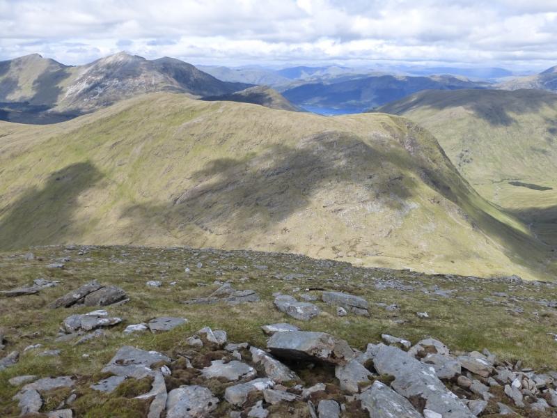
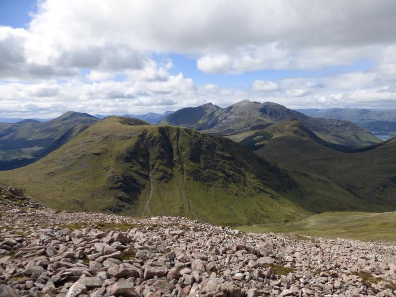
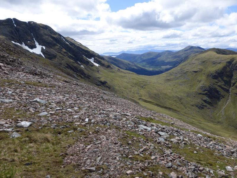
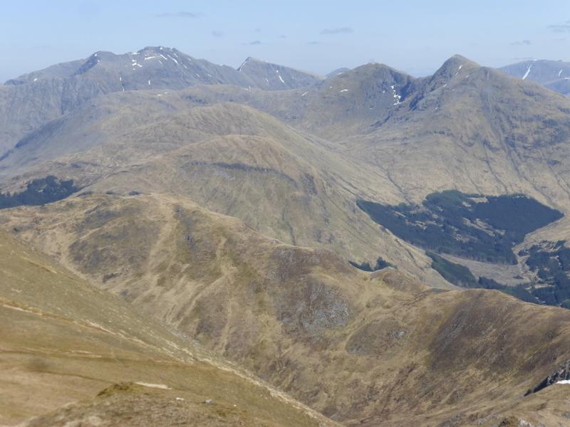
(1) Walk down the road (towards Glencoe village), cross the bridge over the Allt na Muidhe and take the track up Gleann leac na-muidhe. Shortly after the track crosses the river (bridge), take the short diversion around the cottages to rejoin the track higher up. Continue past the farm buildings to the end of the track which is further than shown on the 1991 OS map. The track continues as a footpath on the E side of the river. If the river is low, it is possible to cross near the confluence at NN106545 and ascend the N ridge of Meall Ligniche otherwise stay on the E bank and follow the path as if going to Sgor na h-Ulaidh passing below the craggy E face of Meall Ligniche. Continue for about 2 km, crossing several tributaries then climb SW to the bealach between Meall Ligniche and Sgor na h-Ulaidh at about NN104624. Pick your way NNW up grassy and rocky slopes to emerge on a curving ridge between Creag Bhan and Meall Ligniche. There is a good path and fence posts along this ridge which heads W to the summit of Meall Ligniche, 772 m, which is a small cairn on a rocky outcrop. In good weather there are fine views of the Glencoe mountains and beyond.
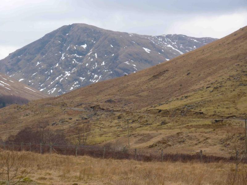
(2) Retrace along the ridge following the path after it diverges from the fence posts until it disappears on the S ridge of Creag Bhan. Continue down the crest of the N ridge taking care on the steeper craggier sections to reach the confluence on the outward route. Cross the river here and retrace the outward route. If the river is high, descend slightly to the W, aiming for about NN094543 where the burn can be crossed easily even in spate conditions. Continue on the N bank with a barbed wire fence on the left (N). Reach an old rusty gate which, surprisingly, opens easily, and go through it. Traverse the SE slopes of Meall Mor on intermittent paths to join the track just after it crosses to the W side of the river at about NN114554 and follow it back to the start.
Notes
(a) This walk took place on 17th November, 2009.
(b) The top Meall an Aodainn and the Grahams Sgorr a’Choise and Meall Mor could be included in this walk adding about an extra 3-4 hours.
Photos - Hover over photo for caption. Click on to enlarge. Click on again to reduce.