Get Lost Mountaineering
You are here: Scotland » 00 Galloway and the Borders » Cheviot and Teviot Hills
Windy Gyle & The Cheviot from Cocklawfoot
Windy Gyle & The Cheviot from Cocklawfoot
Start/Finish
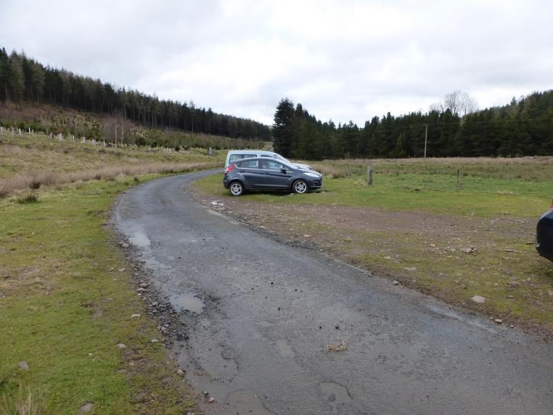
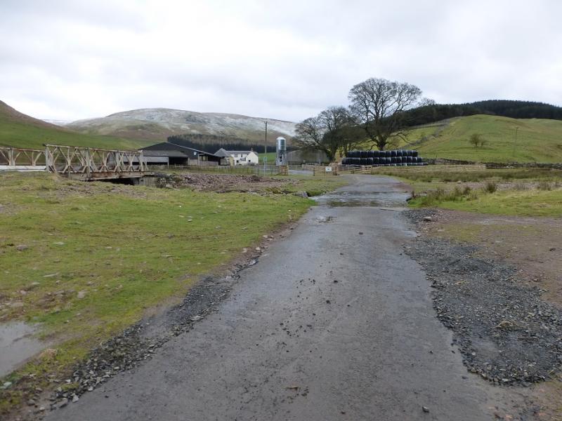
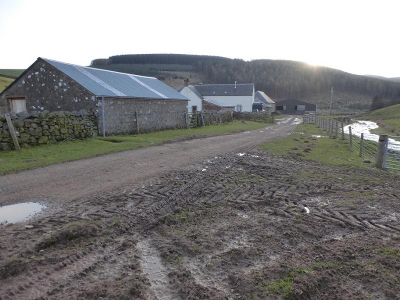
Rough parking area just before the river before the farm at Cocklawfoot, at about NT 852 187. This is at the end of about 6 miles of rough and narrow road which leaves the B6401 road, from Town Yetholm to Morebattle, about a mile south of Town Yetholm. Note that there is a ford on this road about a mile from its end. There is a weak bridge, if one wishes to avoid the ford, which is rated at 3 tons.
Distance/Time
20 km About 6 – 7 hours
Peaks
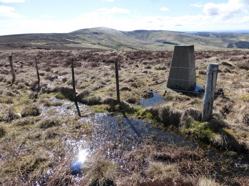
Windy Gyle, 619 m, NT 855 152.
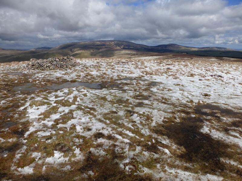
Cairn Hill West Top, 743 m, NT 895 193.
The Cheviot, 815 m, NT 908 205. OL 16: The Cheviot Hills.
Introduction
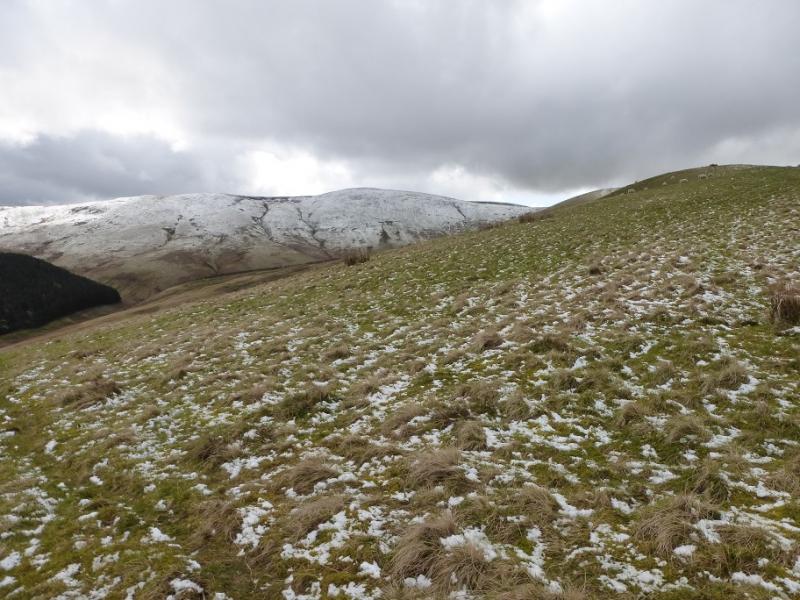
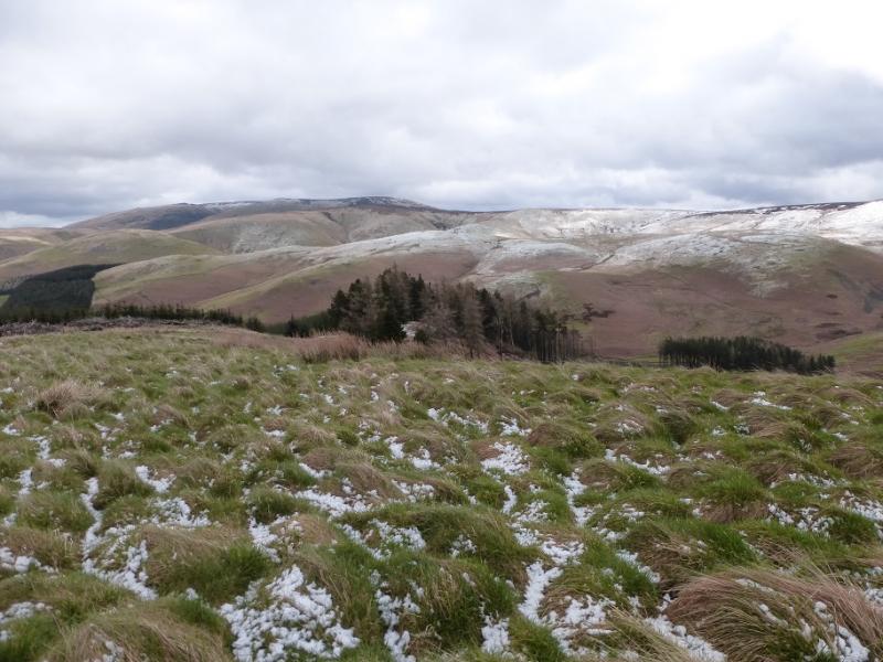
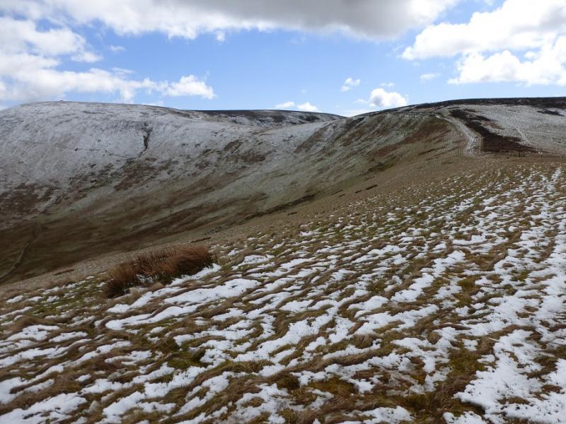
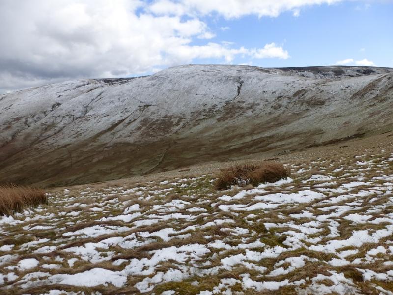
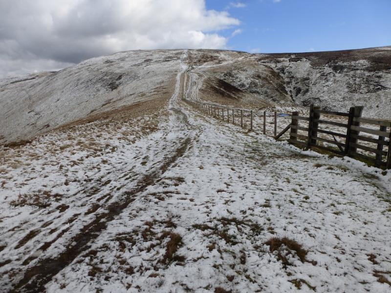
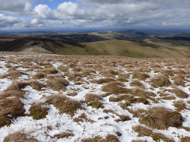
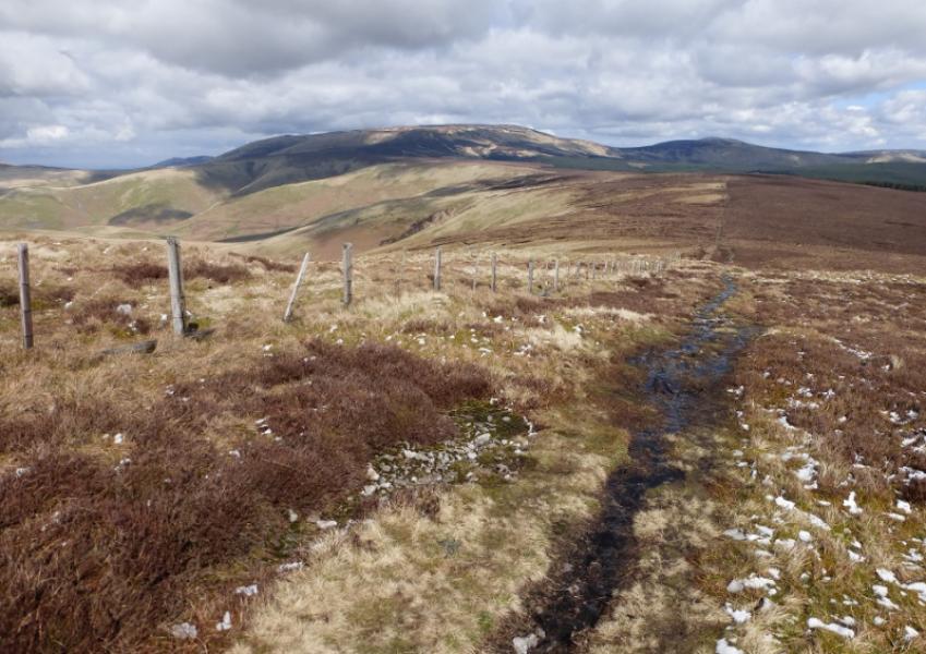
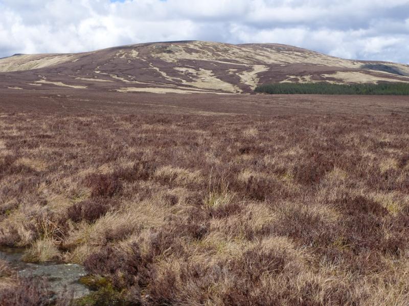
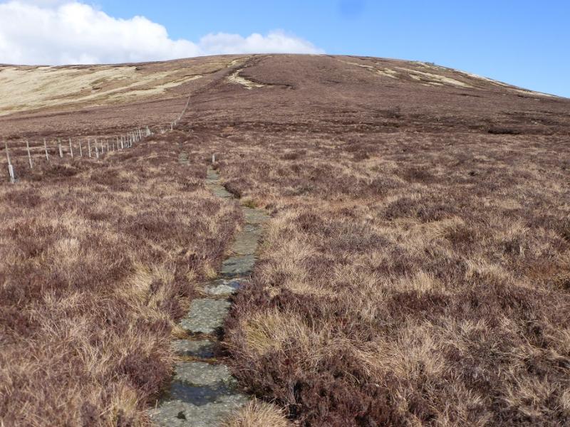
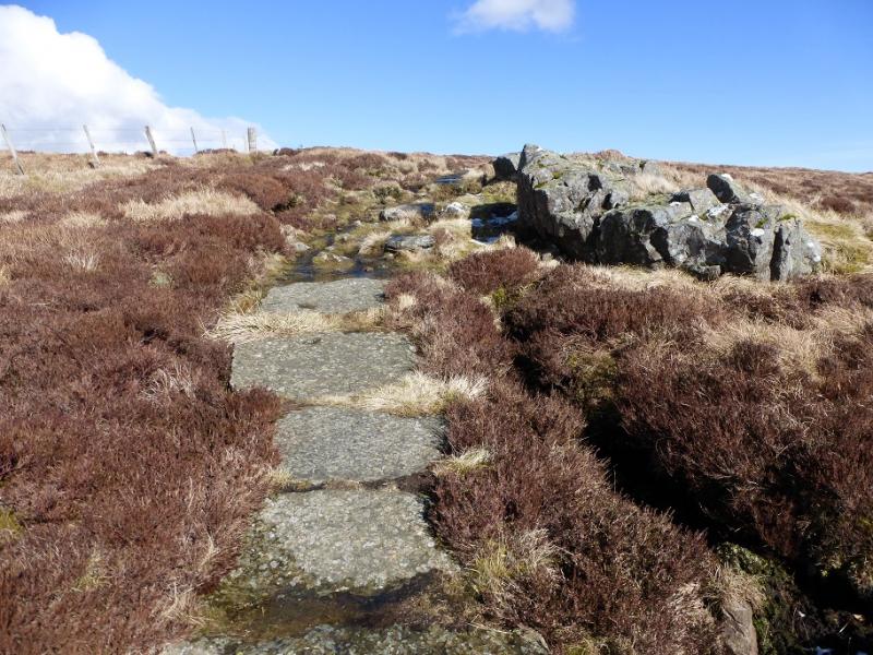
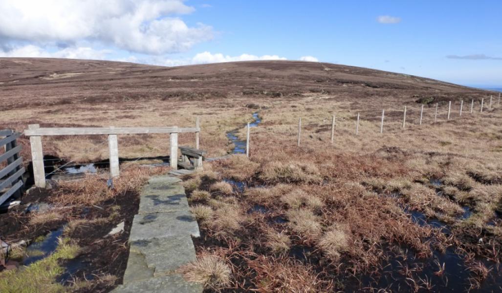
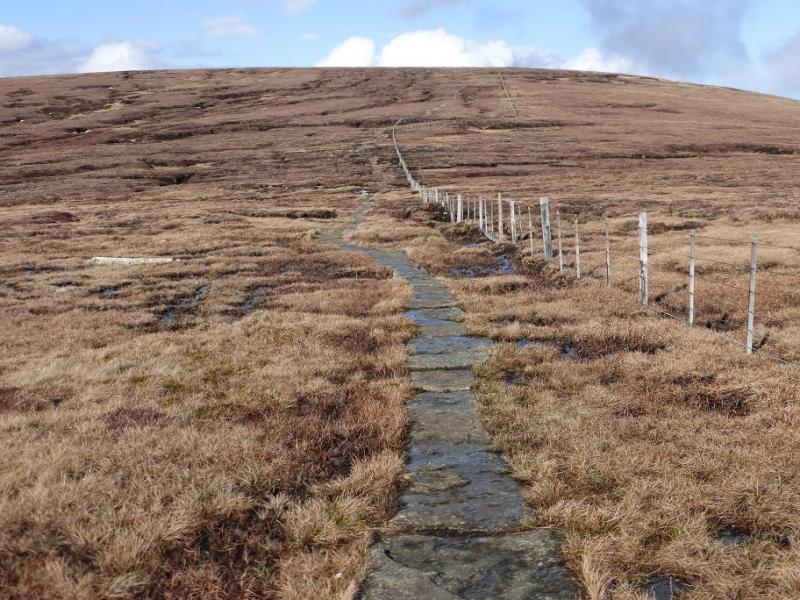
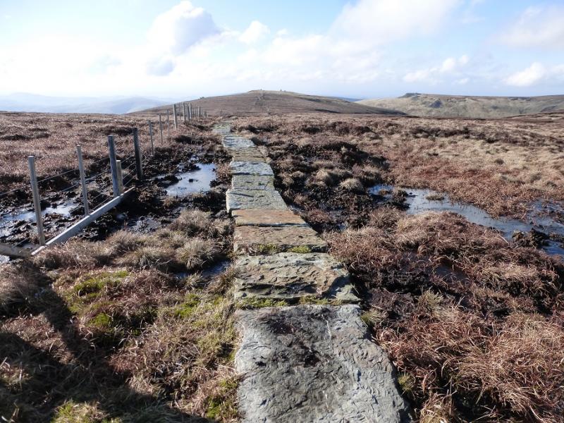
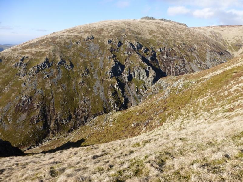
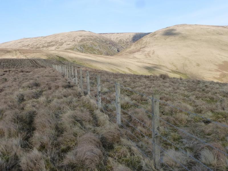
This walk starts and finishes in Scotland but crosses into England at times especially for the Cheviot whose summit is about 2 km inside England. This walk is classified as Scotland 0 because of where it starts and finishes. Much of the route follows the border where there is a fence as a guide but, in places, it does not exactly follow the border although it is quite close. The Donald Top of Cairn Hill West Top is little more than a minor “bump” of rough ground. There is no cairn and, even in good weather, it is not obvious where the ground is at its highest. This top looks at its most “significant” from Cairn Hill to its east. Much of the route also follows the Pennine Way. The path is slabbed in places but there are still some boggy sections so gaiters, or more, are essential. The Cheviot summit would be almost unreachable without the slabbed path. The Cheviot is on a spur of the Pennine Way which has to be retraced. Despite its height, there is virtually no view from the summit of The Cheviot as the surrounding ground is so flat and featureless. The best views are between Windy Gyle and Cairn Hill and from the Auchope Cairn ridge into Hen Hole – a deep ravine.
Route
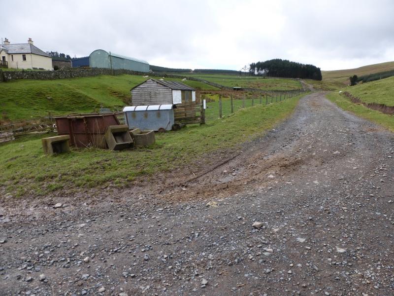
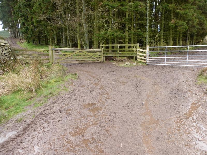
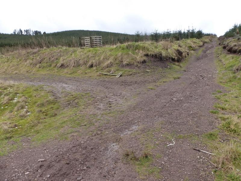
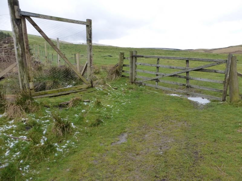
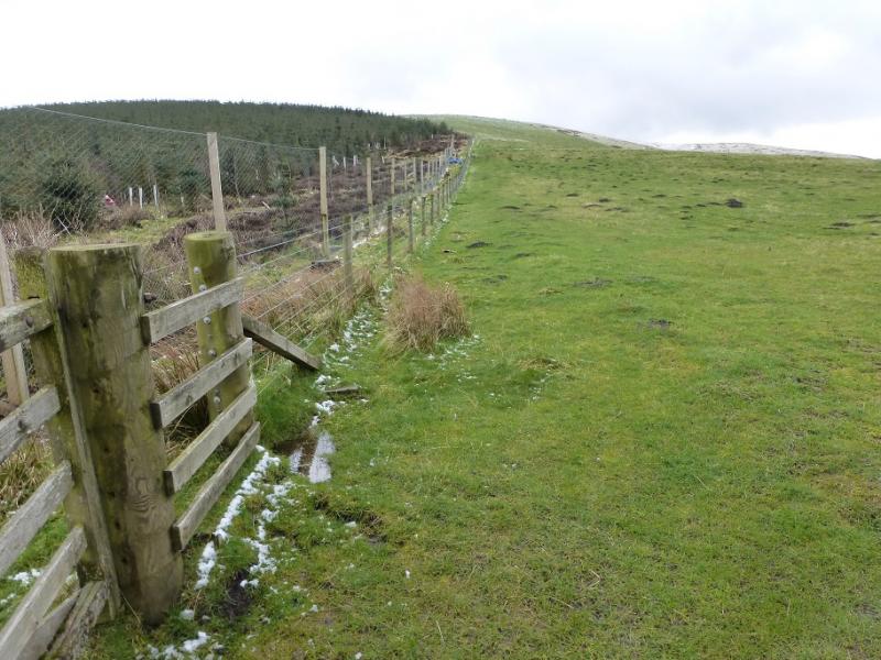
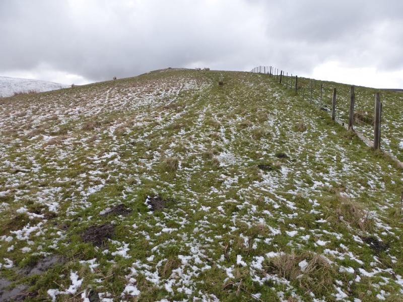
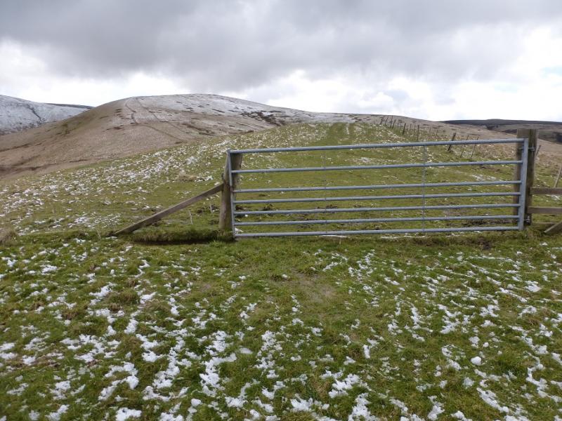
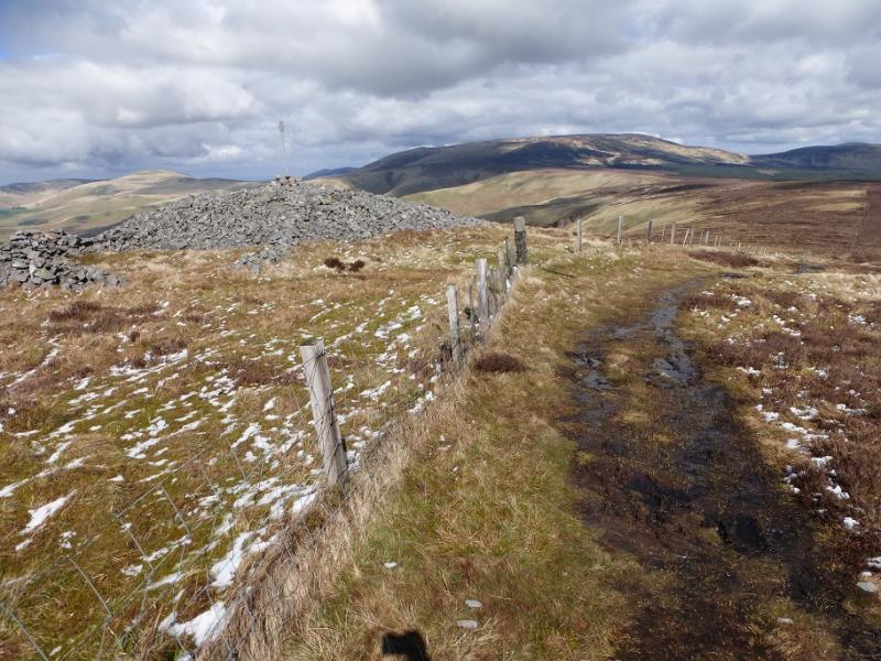
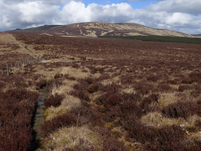
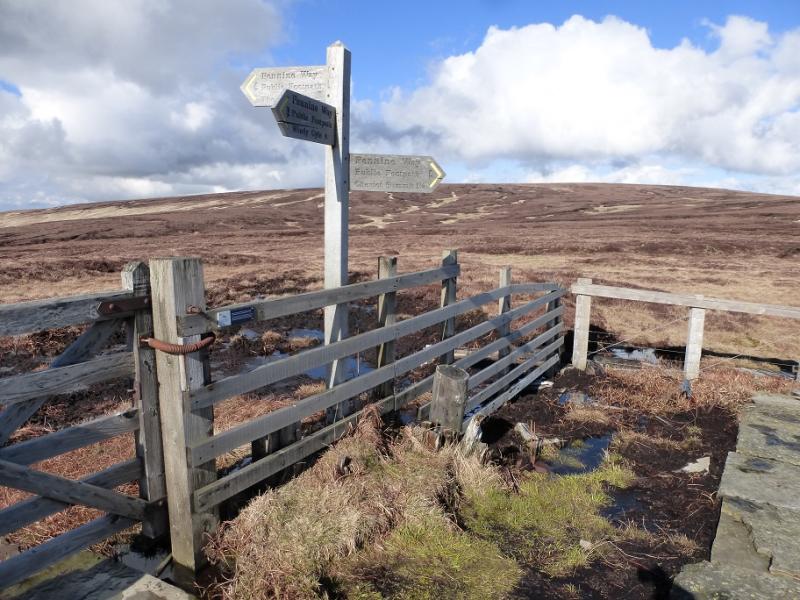
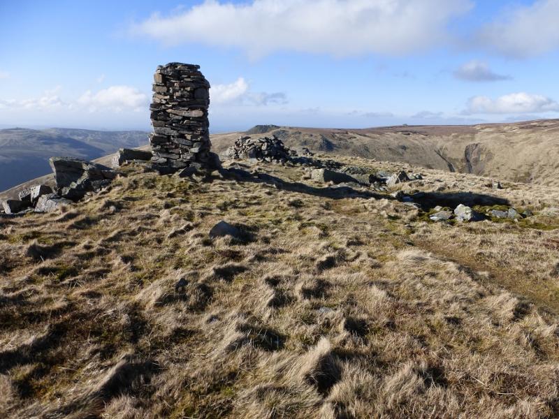
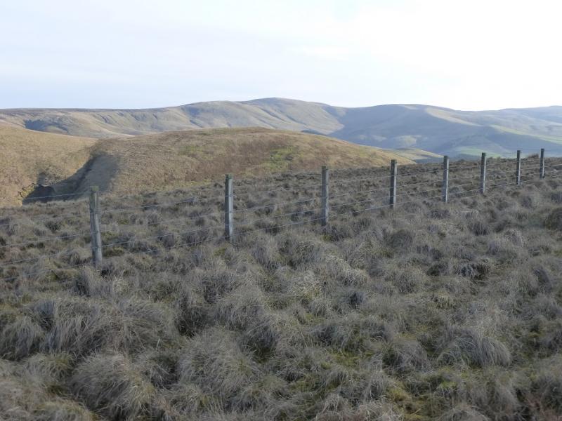
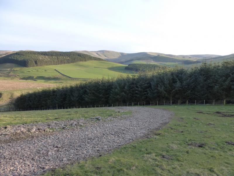
(1) Just before the parking area was reached, a track forked right, SSE. Gain this track and follow it to the farm at Kelsocleuch. Just before the farm, a track goes right, WSW. Follow this towards a wood where another track branches left, behind a wall and in front of the wood, heading S. Follow this track which soon turns SSW to go through the plantation to reach the open hill on the other side. Turn left and follow the edge of the wood S. At the end of the wood, follow the obvious fence up the crest known as Kelsocleuch Rig with a good path soon developing. Higher up, the Pennine Way comes in on a reverse right fork and the route becomes more boggy. Continue up, now heading ESE, and soon reach the huge cairn known as Russell's Cairn and the trig point which marks the summit of Windy Gyle, 619 m, which straddles the border.
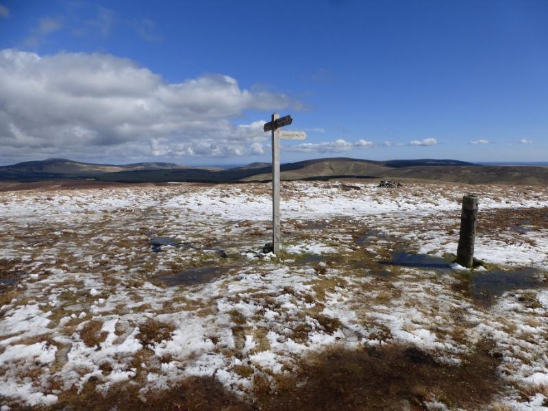
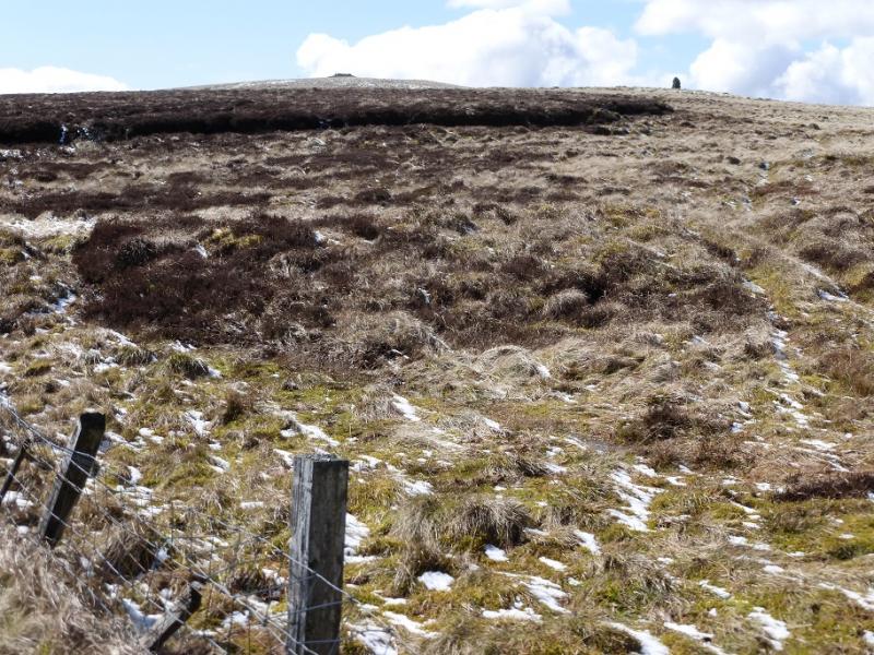
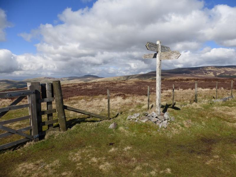
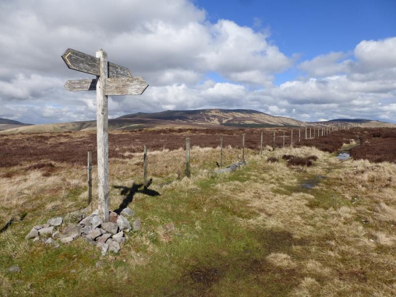
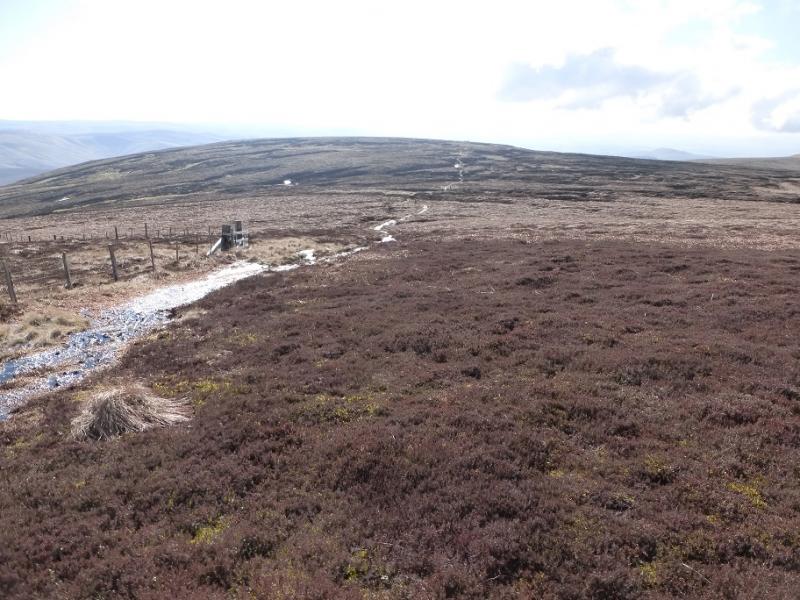
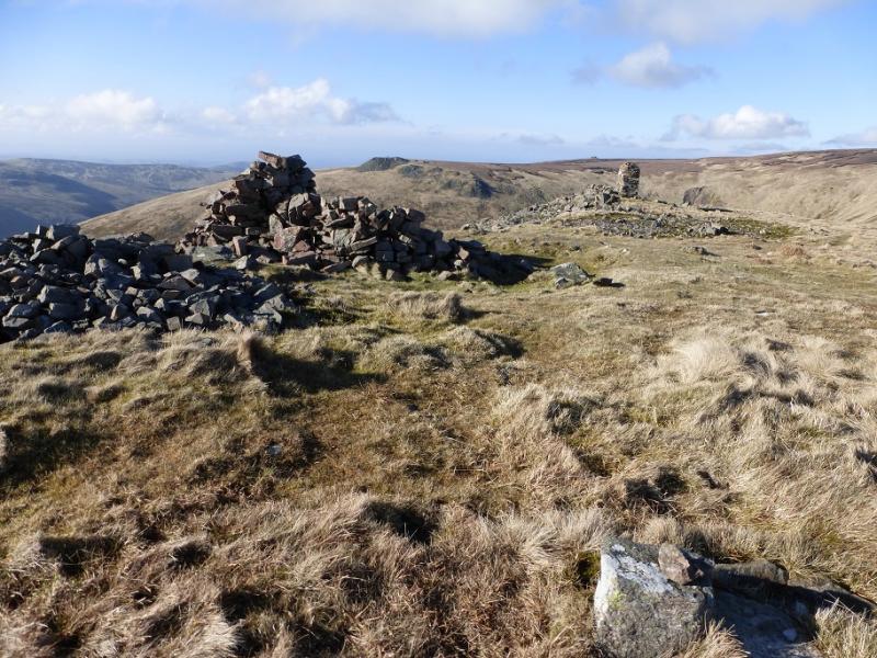
(2) A sign post indicates that the Pennine Way goes roughly E. The path soon deteriorates so keep looking across the fence as there is soon a better path on the English side. Follow the path, often slabbed, and fence, heading NE passing several cairns. A “crossroads” is passed after which the route is more NNE then N to reach a trig point known as King's Seat. This is not a summit, just a point on a shoulder. Continue, roughly N, before the fence and path start to curve around to the ENE and the ground steepens slightly on the rise to Cairn Hill West Top where there is a sign for the Cheviot. The highest point is just before this sign and is unmarked and almost impossible to be sure of where it actually is but this is Cairn Hill West Top, 743 m. It is the highest point on the border.
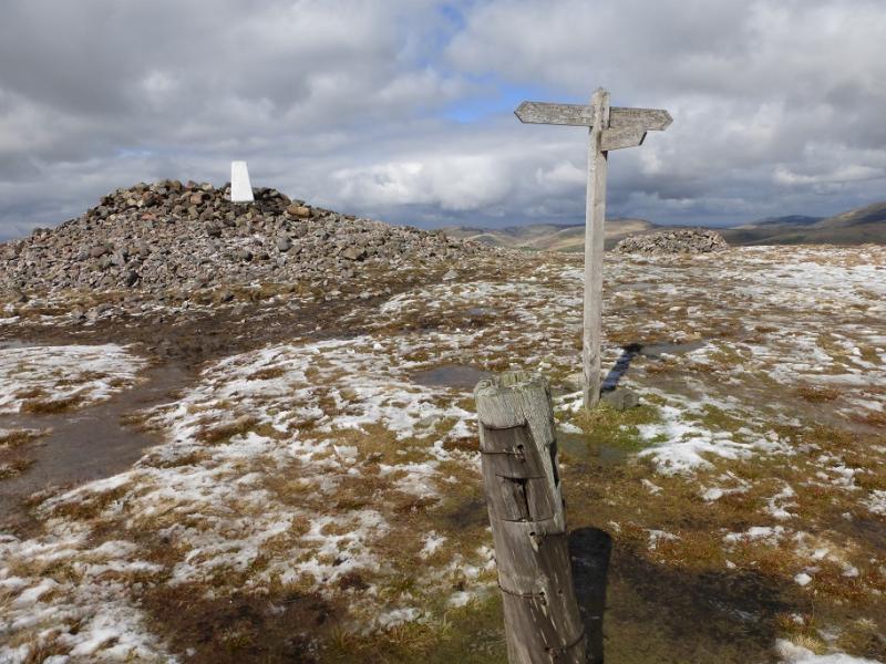
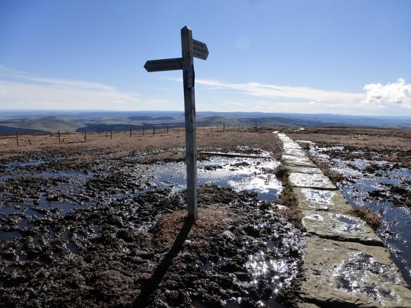
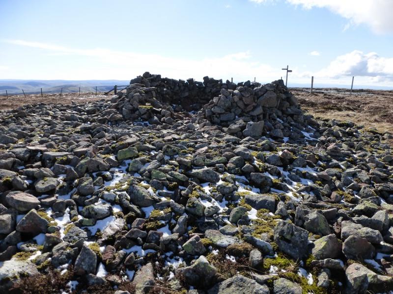
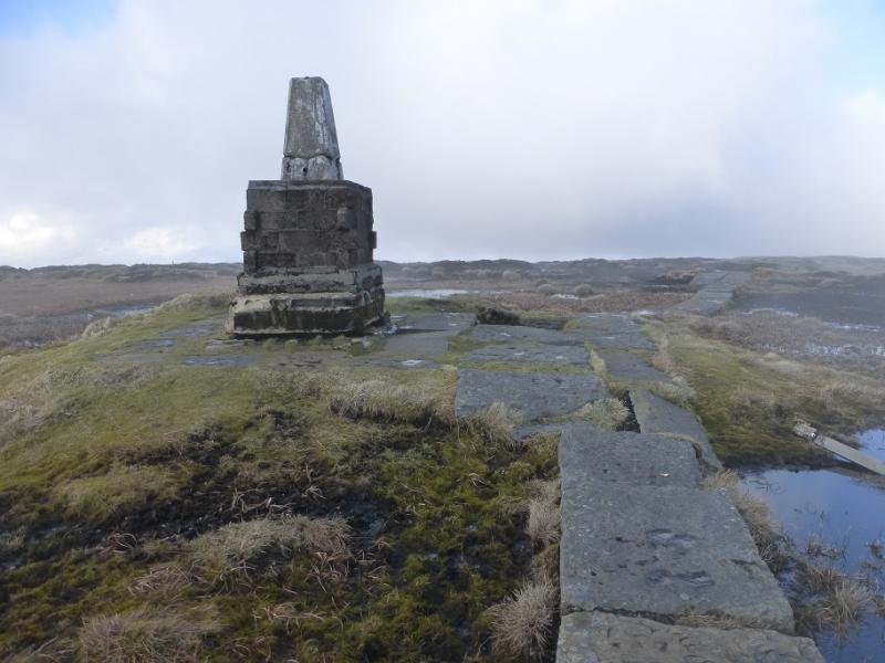
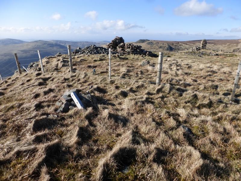
(3) Follow the slabbed path signed for The Cheviot and soon reach the summit of Cairn Hill, 777 m, where there is a huge shelter cairn across the fence. Continue on the path for about another km to reach a plinth with a trig point on top which is the summit of The Cheviot, 815 m. The ground around is almost all bog.
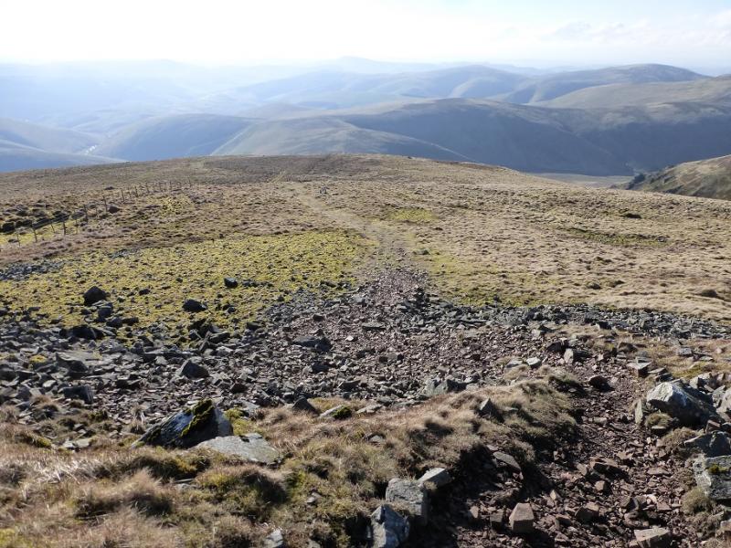
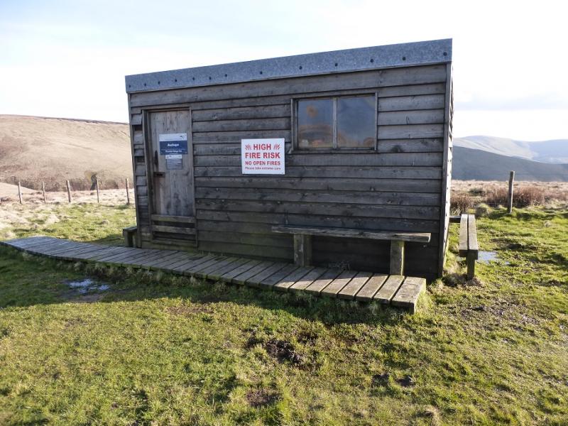
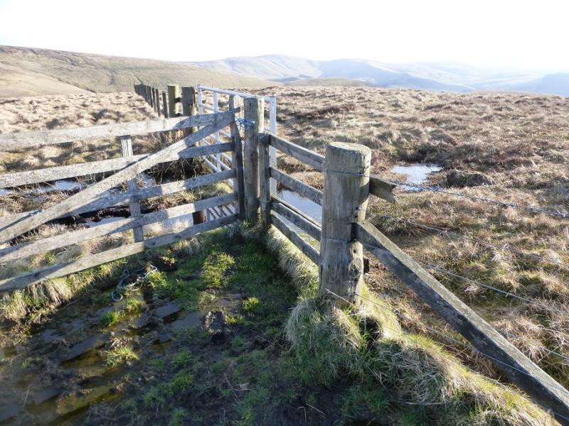
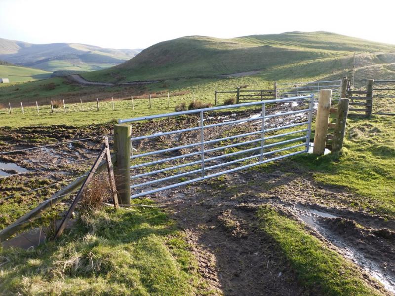
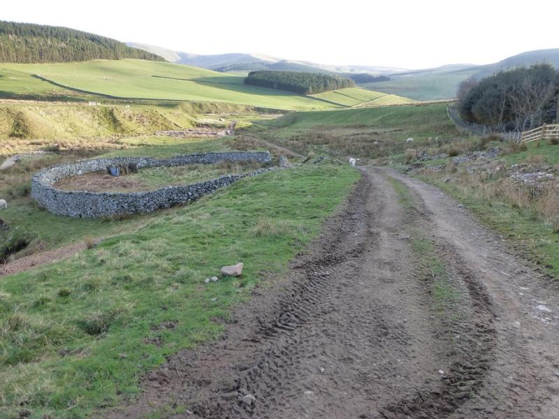
(4) Retrace over Cairn Hill then Cairn Hill West Top which looks a little more distinctive from this direction. Take the Pennine Way, NW, and soon reach the top with the Auchope Cairn and other cairns on it. The highest point seems to be a tiny cairn across the fence on the Scottish side yet it it is not considered to be a Donald Top. The route from here is not immediately obvious but it goes down, between the cairns, WNW, down a long broad ridge for nearly 2 km before reaching a dip. A short ascent up the other side soon leads to a Mountain Refuge Hut which is usually open but small. Continue, staying with the fence on the left – not straying right to pass the head of Red Cribs, a steep gully – to reach a fence junction. Follow the fence left, S, then SW down Auchope Rig for nearly 2 km to reach the first dip in the ridge. Cross over to the other side of the fence here and soon reach an obvious gravel track, heading roughly S off the ridge. Follow this track down past Cocklawfoot Farm to the start.
Notes
(a) This walk took place on 10th April, 2016, and about 15 years earlier.
Photos - Hover over photo for caption. Click on to enlarge. Click on again to reduce.