Get Lost Mountaineering
You are here: England » Peak District » Bleaklow & Howden Edge from Torside, Woodhead & Langsett
Margery Hill & Outer Edge from Langsett Barn
Margery Hill & Outer Edge from Langsett Barn
Start/Finish
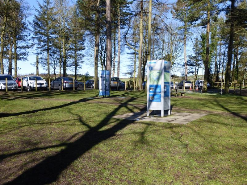
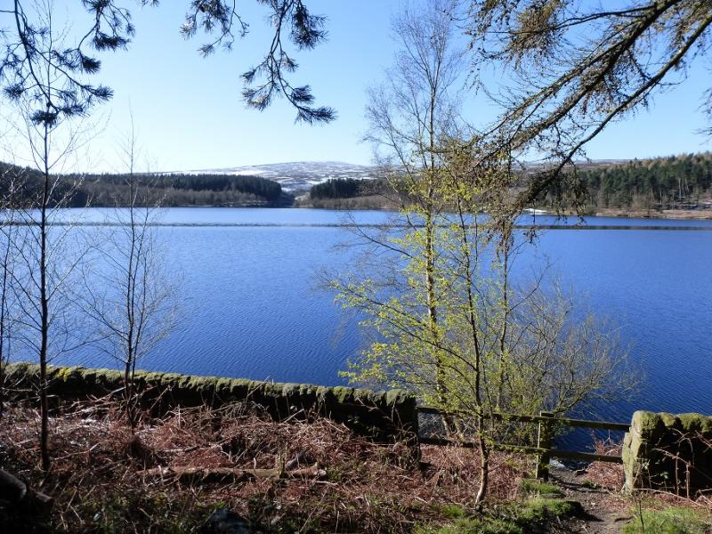
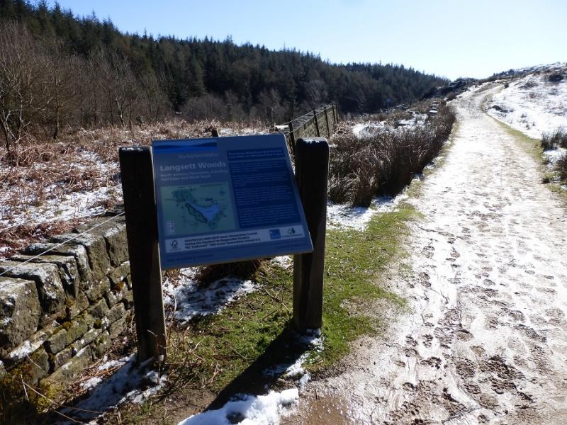
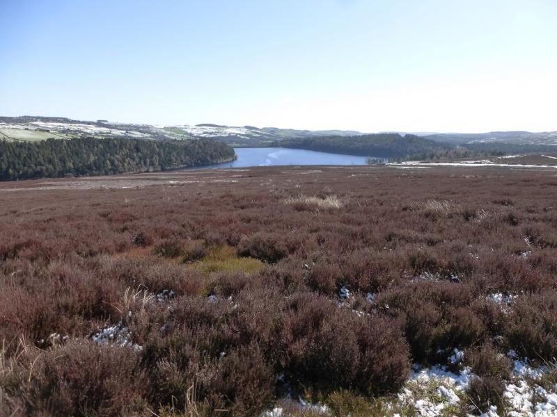
Langsett Barn car park (free on 17/4/16) which is just off the A616 road from junction 35A of the M1 to the roundabout where it meets the A628, Woodhead Pass by the Flouch Inn. The car park is about a mile south east of the roundabout. At weekends, the car park can fill up very quickly leaving one to look around for parking. There are toilets by the car park.
Distance/Time
15 km About 4 - 5 hours depending on ground conditions
Peaks
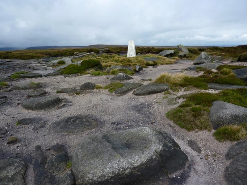
Margery Hill, 546 m, SK 188 967.
Outer Edge, 541 m, SK 177 969.
OS 110: Sheffield & Huddersfield. OS Outdoor Leisure 1: Dark Peak
Introduction
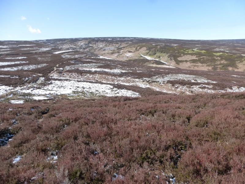
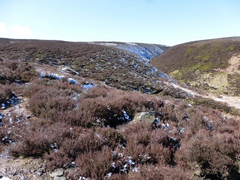
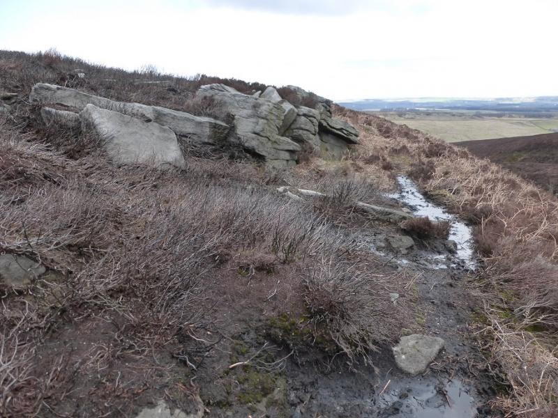
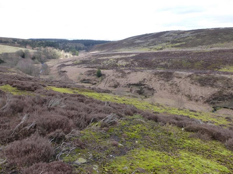
This is a good but strenuous walk with good moorland views in clear weather. Some of the going is boggy and gaiters are recommended in a wet spell when progress will be slow. Some of the route is pathless. There is plenty of time for this walk on a late-winter's day when the views are often at their best and the frozen ground is more pleasant to walk over. Snow and ice are not normally a problem but err on the side of caution if you have any doubts. There are no really steep sections. Crow Stones (below Outer Edge) is one of the finest outcrops in the area. Overgrown ferns may be a problem in summer especially when crossing Mickleden Beck at its foot.
Route
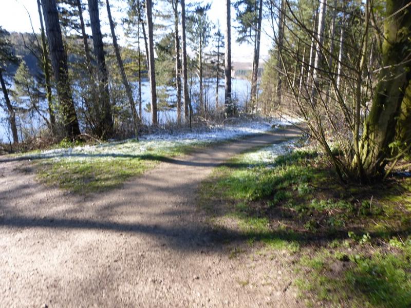
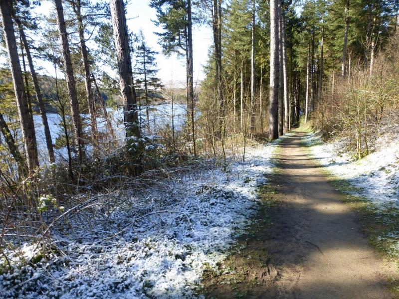
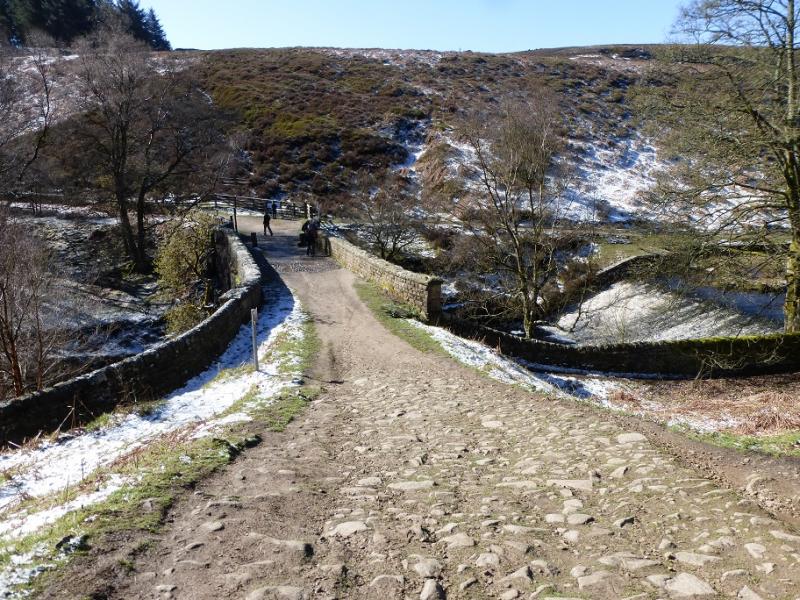
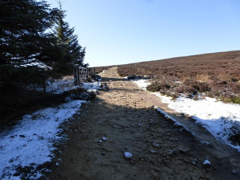
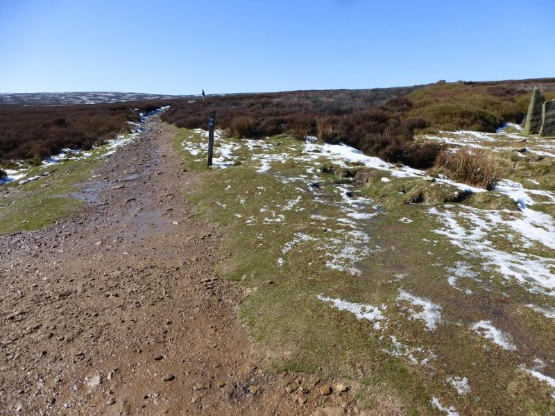
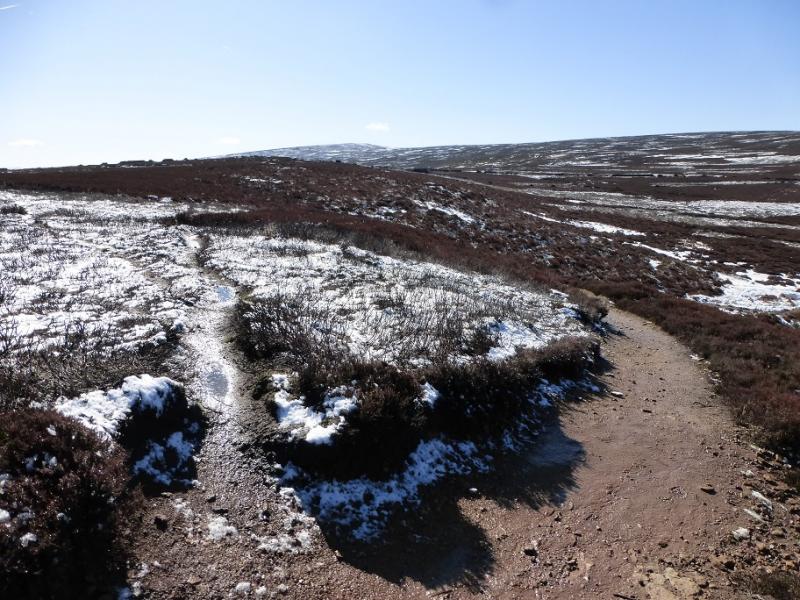
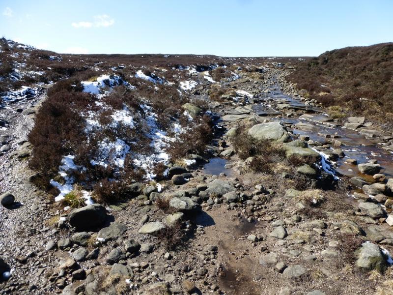
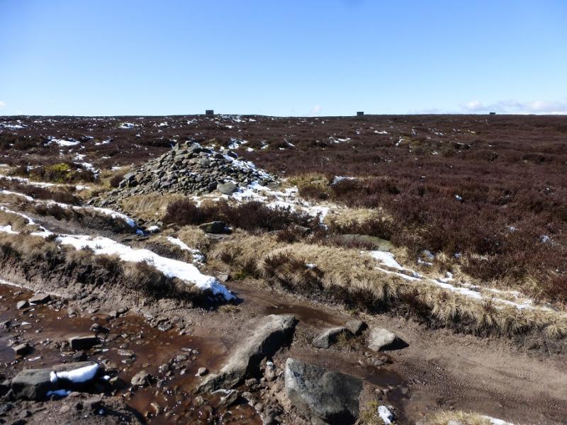
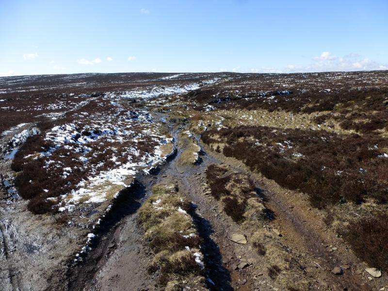
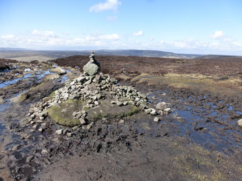
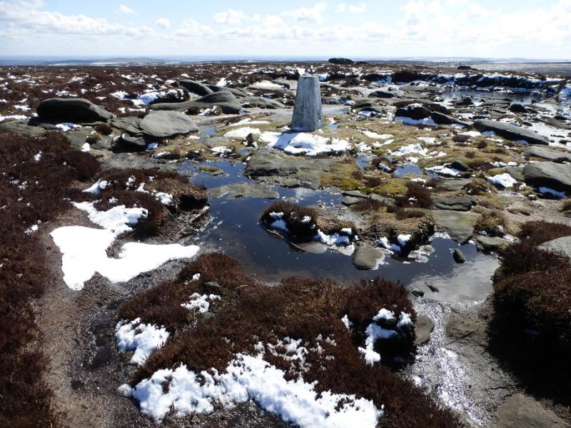
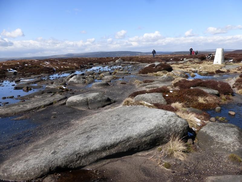
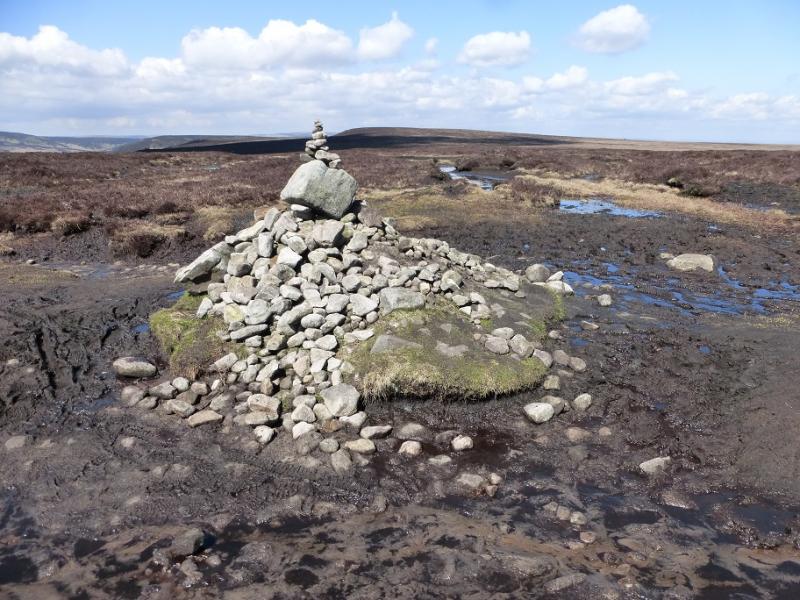
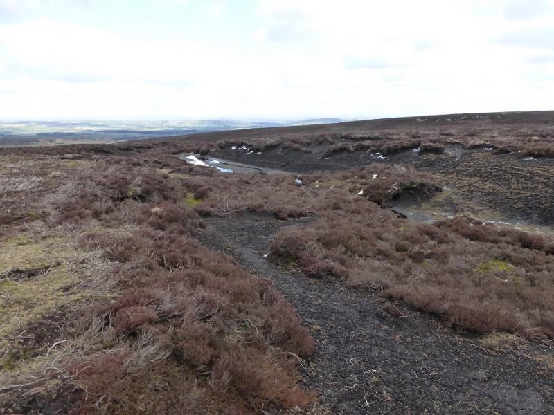
(1) Walk out of the bottom of the car park and soon pick up the main path heading NW with Langsett Reservoir below and on one's left. The good path leads to the NW corner of the reservoir before crossing the Little Don River by a substantial old stone bridge. Follow the path up the other side, roughly S then more SSW passing Hingcliff Hill on its E flank. Stay with the main path to reach Mickleden Edge with the obvious large clough containing Mickleden Beck on the right; one is now heading more to the S. Higher up, Mickleden Beck splits and the path, becoming more boggy, follows the left fork on a section known as Cut gate with the path going roughly SSW. There is little gradient now and the path can be very boggy in places necessitating significant detours. At the highest point is a cairn which signifies that one is now on the crest of the broad Howden Edge with Margery Hill about 500 m to the SSE and Outer Edge about 1500 m to the NW. Follow the obvious, but very boggy, path SSE, crossing a stile, to the trig point which marks the summit of Margery Hill, 546 m, which sits in a flat and wet boggy area although it is quite easy to reach the trig point. On a clear day, one can see the Holme Moss mast (slightly left) and the Emley Moor mast (slightly right).
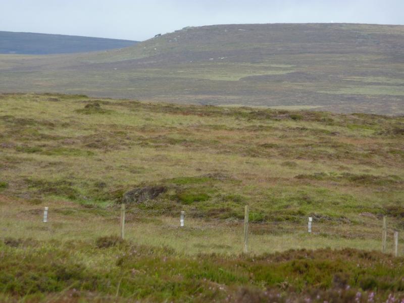
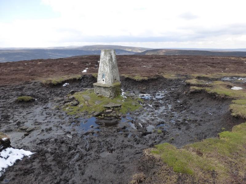
(2) Descend roughly NW back to the stile then continue, on very boggy ground, following the path back to the Cut Gate cairn. Go straight on, following the boggy path. There is a gentle descent then an equally gentle ascent which leads to the Outer Edge trig point, 541 m. As one approaches the shallow col between Margery Hill and Outer Edge, some strange “cairns” are seen on the skyline to the right of Outer Edge. These are actually isolated trees! A drier, but rougher, route between the two hills is to look for some short white marker posts on the right, E. These also have low cairns near them and can be followed until close the the summit of Outer Edge.
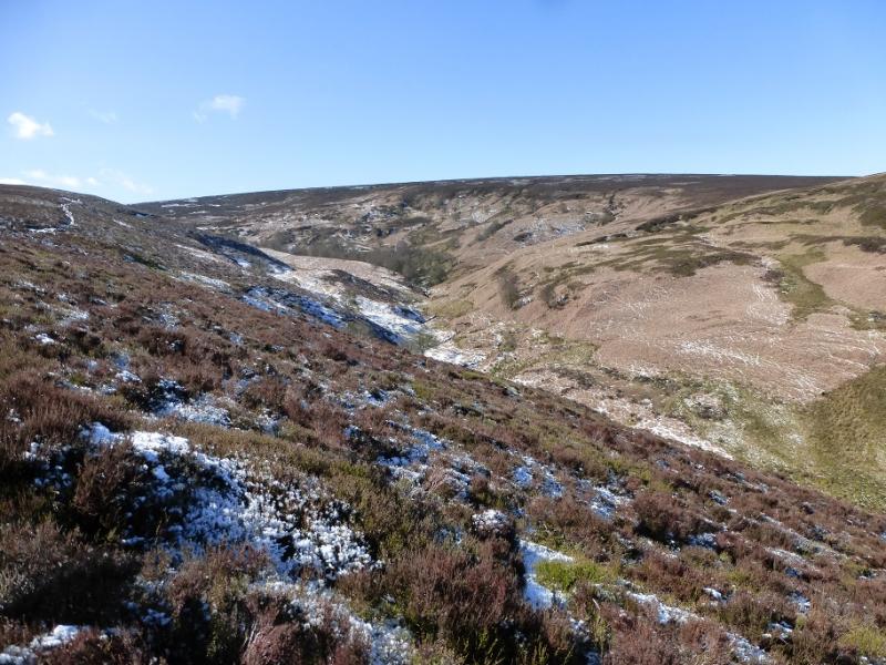
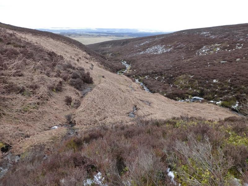
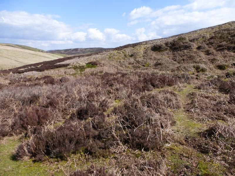
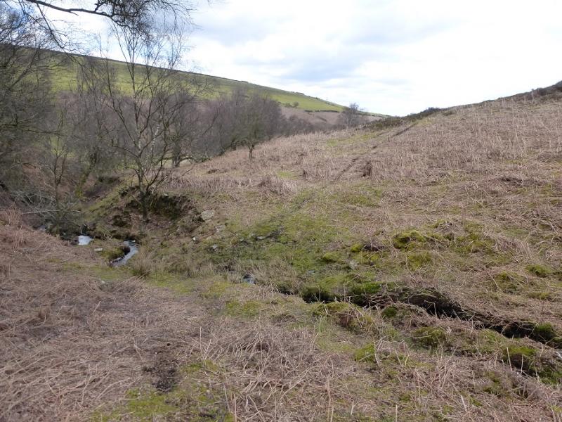
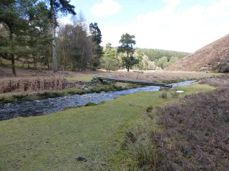
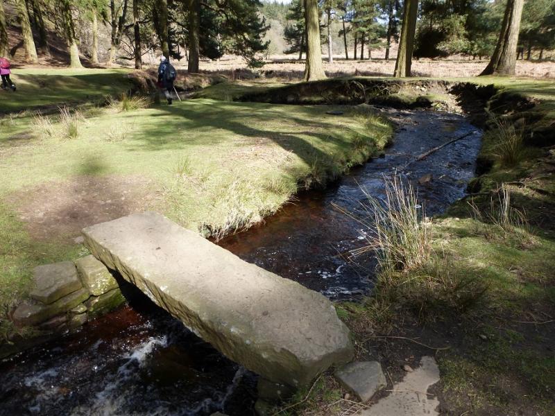
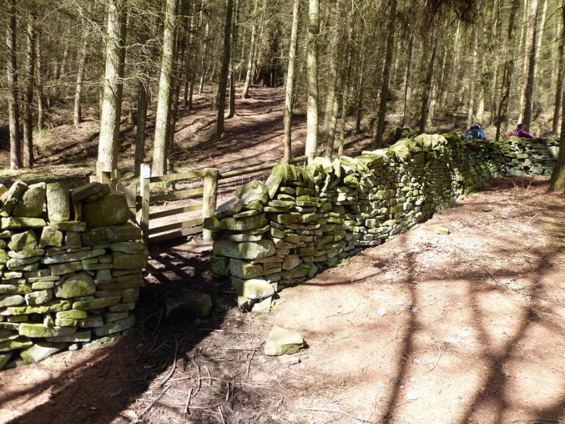
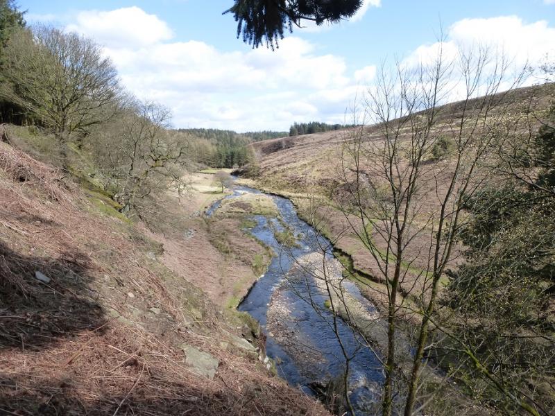
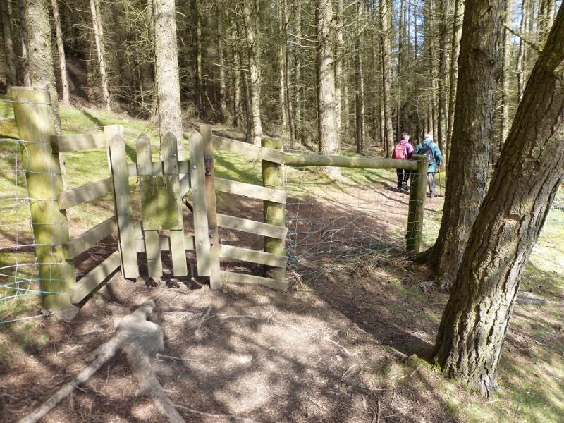
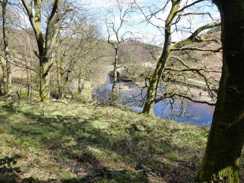
(3) Continue along the boggy crest using the very boggy path as a guide. A gully starts to develop not far to the E of the crest. This is a good navigational aid as it leads all the way down to the Little Don River. Follow the gully down; it merges with other gullies as it becomes increasingly defined and becomes known as Hordron Clough. Further on, a path becomes fairly obvious on the left, W, of the clough which helps with the descent. At the bottom, a path crosses the clough path and one turns right and follows this across the stream in Hordron Clough. The ground is a mixture of grass and heather, some of which has been burnt back. The path can be hard to follow at times so, if it is lost, just continue on the same line until it reappears. The abandoned farm at Hordron, high above the far side of the Little Don River should be fairly obvious. Reach Mickleden Beck, near its foot. Crossing over is normally easy but the clough is likely to be overgrown with ferns in the summer. Once over, pick up one of the faint paths and climb out of the clough then continue traversing on the E side of the Little Don River on the W flank of Hingcliff Hill. When some woodland is spotted, gradually converge with the Little Don River. There is a simple wooden bridge, with no guardrail, over the river at the foot of the wall descending NW down Hingcliff Hill. Cross the bridge and follow the obvious path by the river. Later pass through a gate in a wall. When it climbs high above the river, go through a second gate, in a fence, and follow the path through a wood with the river off to the right. Further on, the path appears to split with a muddy path going ahead and a better one cutting back up and left. Both rejoin later then a wooden bridge is reached with the major old stone bridge, crossed earlier, over the river off to the right. Go up the easy slope after the bridge, go right and rejoin the outward path not far form the old stone bridge.
Notes
(a) This walk took place on 17th April, 2016.
(b) If attempting this route in summer when the foot of Mickleden Beck will be overgrown then go W at the foot of Hordron Clough until one can reach the obvious grassy track slanting uphill. NE. One can then navigate back to the start, essentially shadowing the Little Don River. This alternative has not been checked out but seems fairly obvious on the OL map.
Photos - Hover over photo for caption. Click on to enlarge. Click on again to reduce.