Get Lost Mountaineering
You are here: England » Peak District » Kinder, Mam Tor ridge, Rushup Edge, Brown Knoll & Win Hill from Edale
Jagger's Clough, Ringing Roger Trig Point & Crookstone Rocks from Edale
Jagger's Clough, Ringing Roger Trig Point & Crookstone Rocks from Edale
Start/Finish
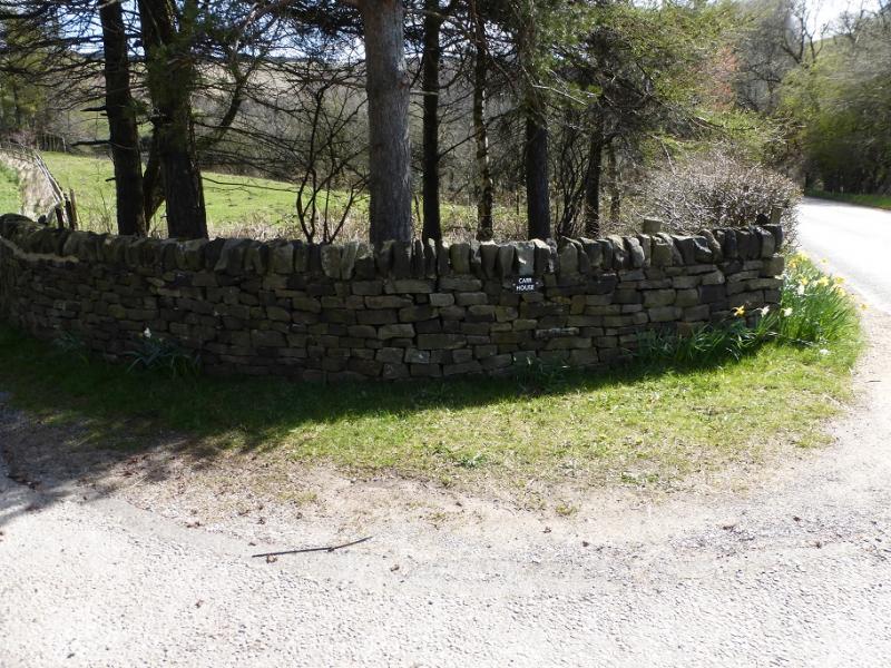
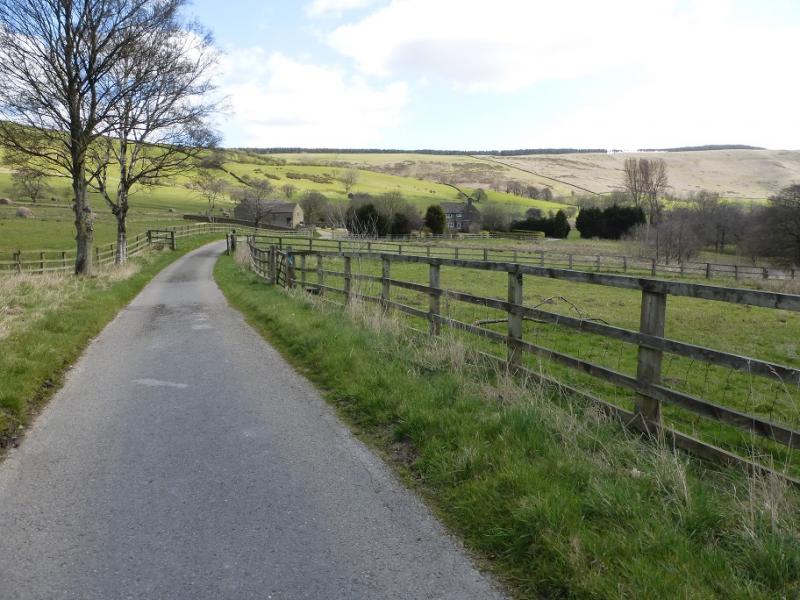
Large lay by on the Edale Valley road which is a few hundred metres E of the entrance for Carr House and about 1 km W of the track to Edale End. The lay by is just to the E of the end of the high railway bank above the road. There is no other suitable parking nearby so arrive early at busy times. The turn off for Edale from Hope, from The Hathersage to Castleton road, A625, is not that obvious and easy to miss. It is a right turn opposite a church on the left on the eastern end of Hope. Coming from Hope, the lay by is about half a mile after going under the railway. Coming from Edale village, go through Nether Booth then past the high embankment near Carr House.
Distance/Time
13 km About 4 – 5 hours
Peaks
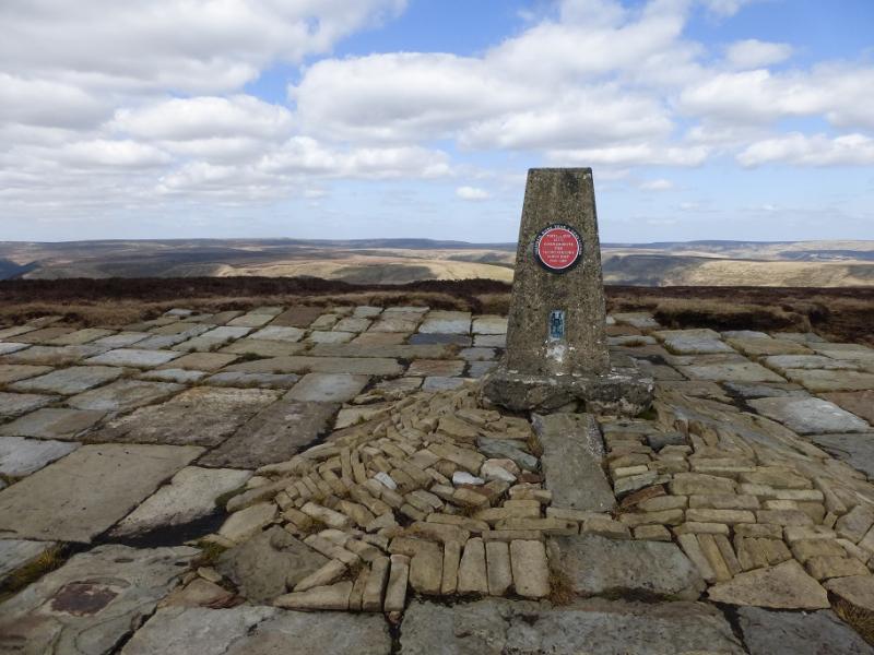
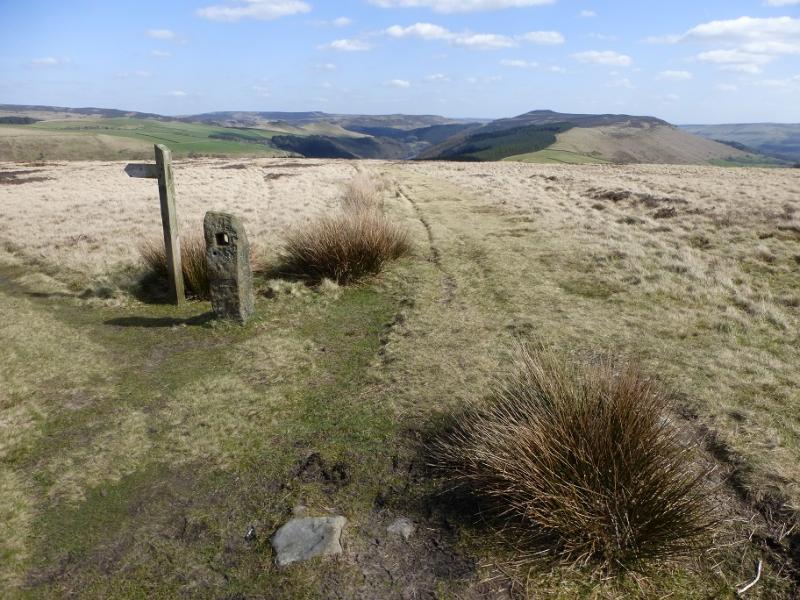
Ringing Roger Trig Point, 590 m, SK 129 878.
OS Outdoor Leisure 1: Dark Peak. OS 1:50 000 Sheet 110: Sheffield & Huddersfield.
Introduction
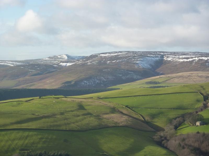
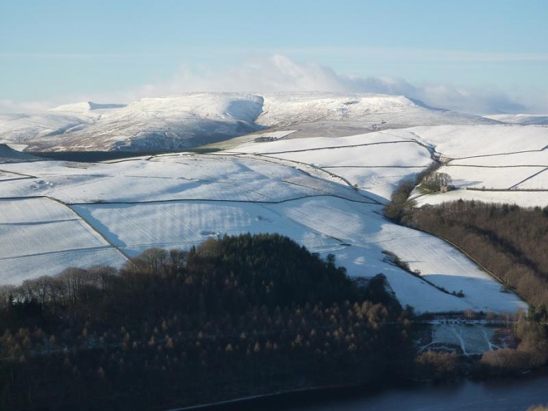
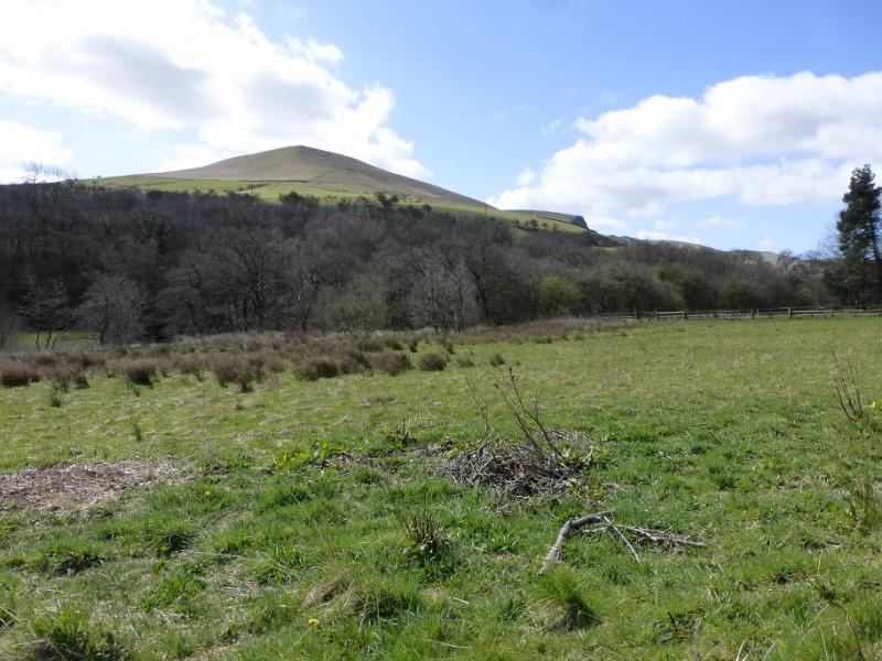
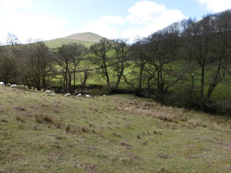
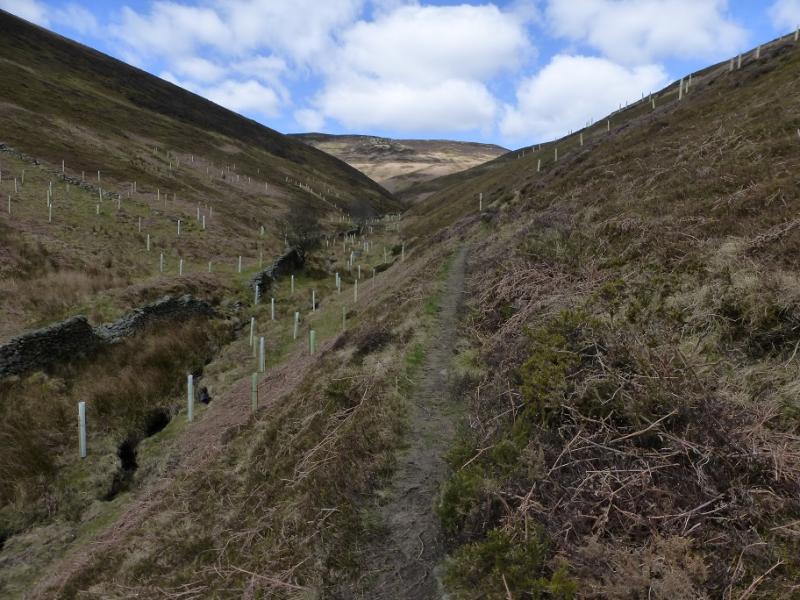
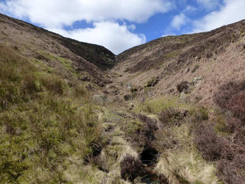
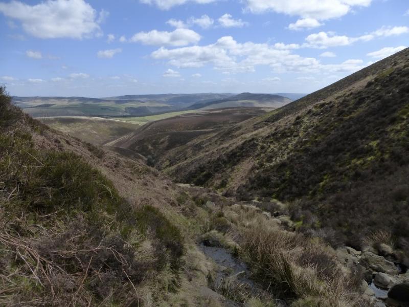
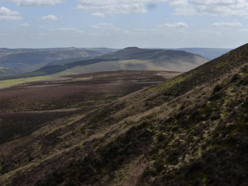
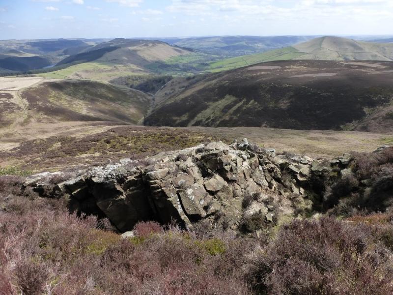
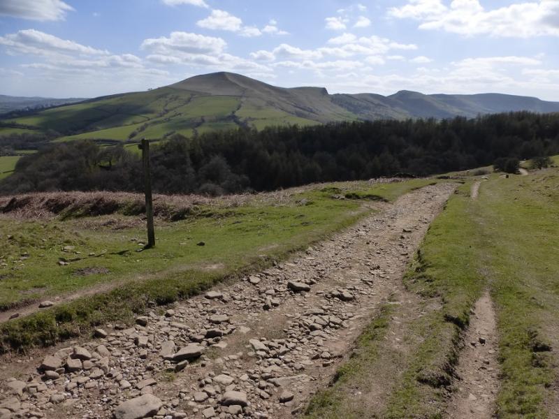
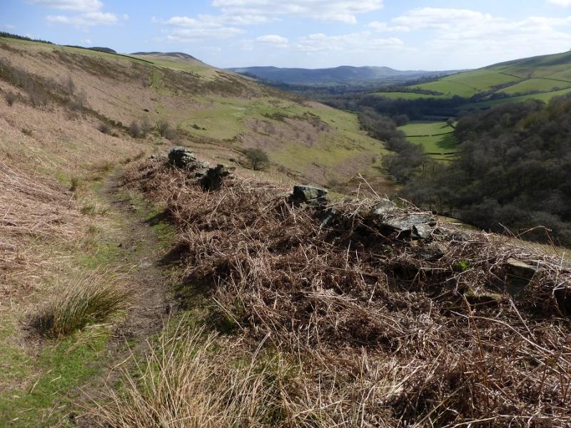
This walk takes longer than one might expect as the ascent of Jagger's Clough can be fairly slow. It is one of the longest cloughs on Kinder and is best ascended in a dry spell when the going is easier up the slabby stream bed. Jagger's Clough is well seen from the Derwent Edge and dominates the eastern end of Kinder. On a clear day, views are excellent and include the Derwent Edge, Bleaklow, Win Hill, Lose Hill and the Mam Tor ridge. On the return, there is an unusual view view of the top of Mam Tor over Nether Moor. It has a hint (only the slightest hint) of Great Gable about it.
Route
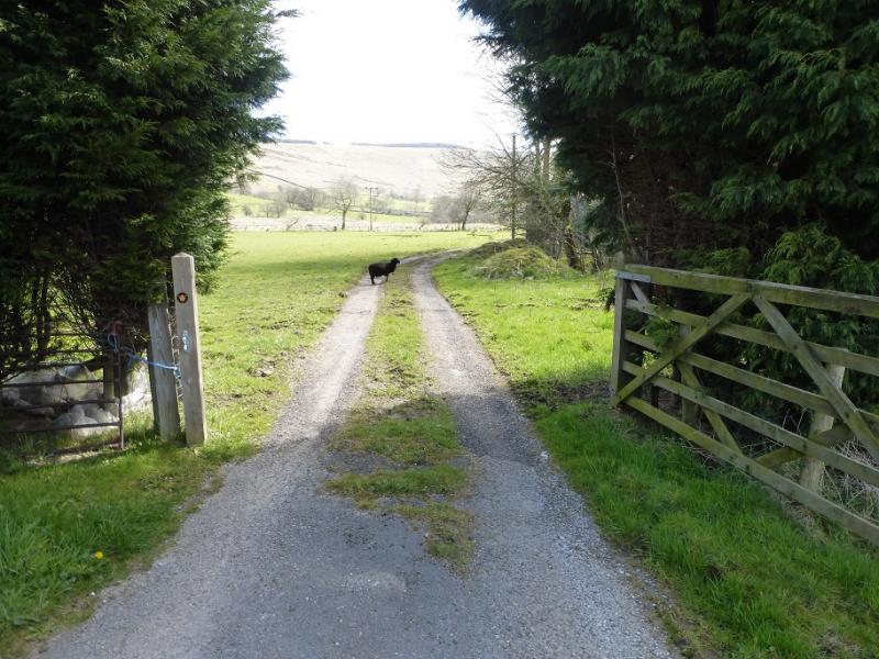
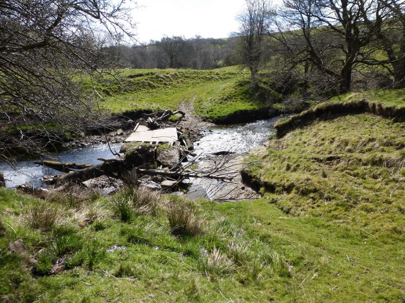
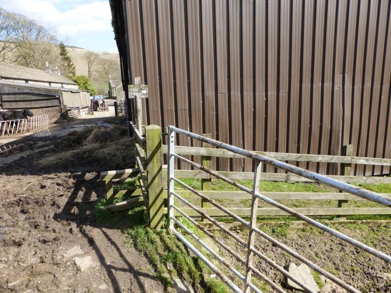
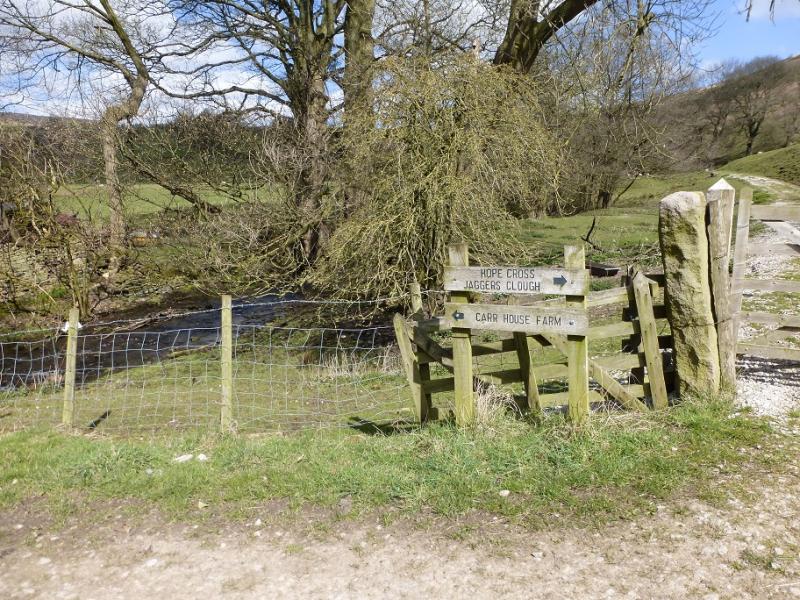
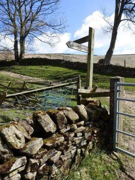
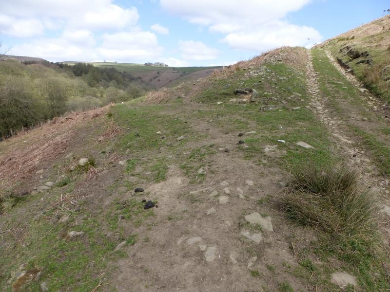
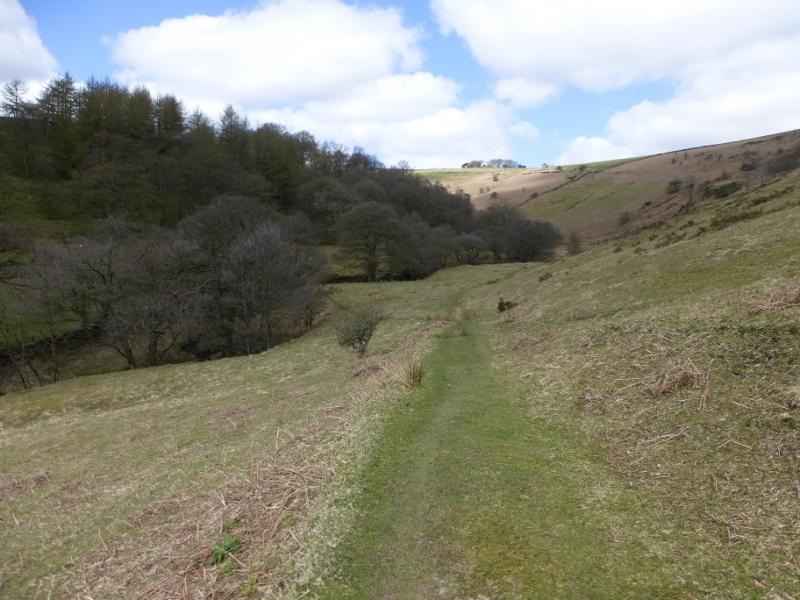
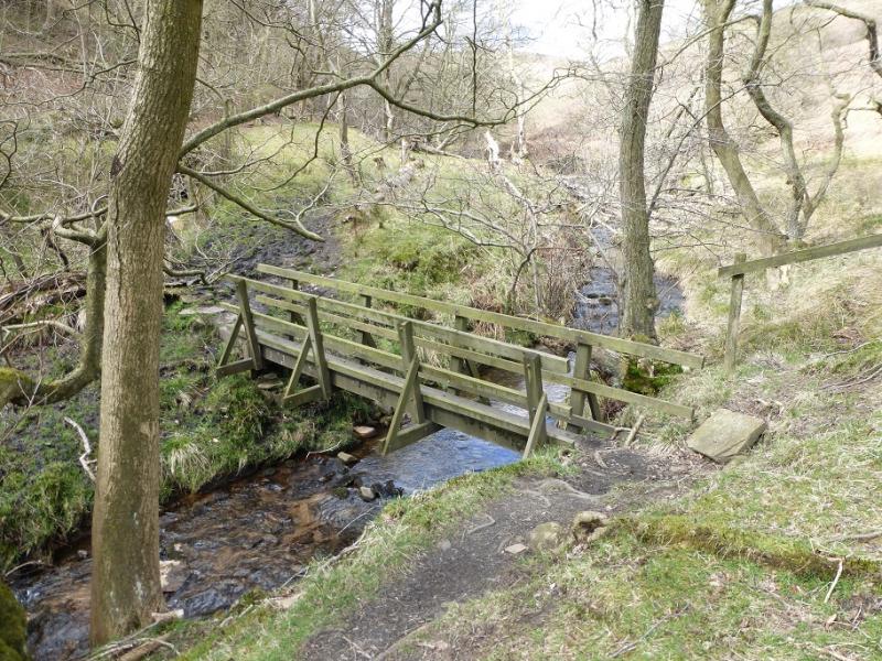
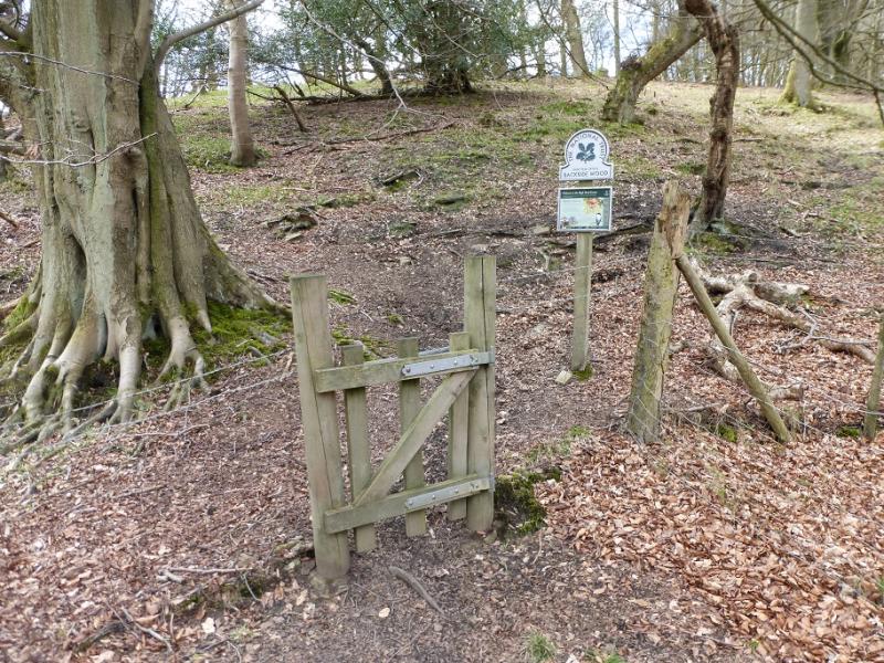
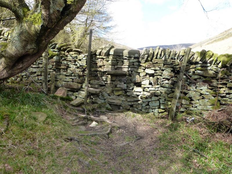
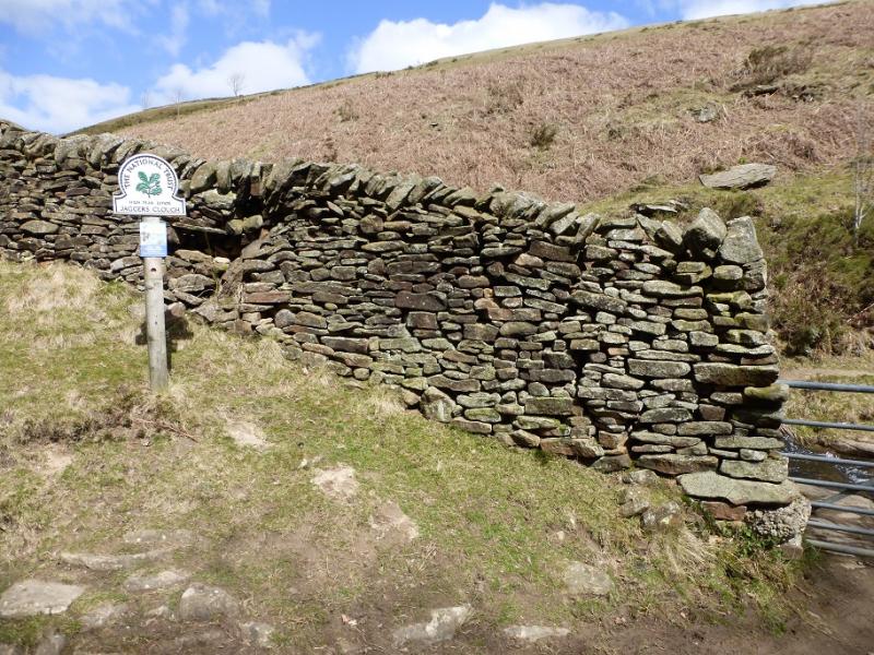
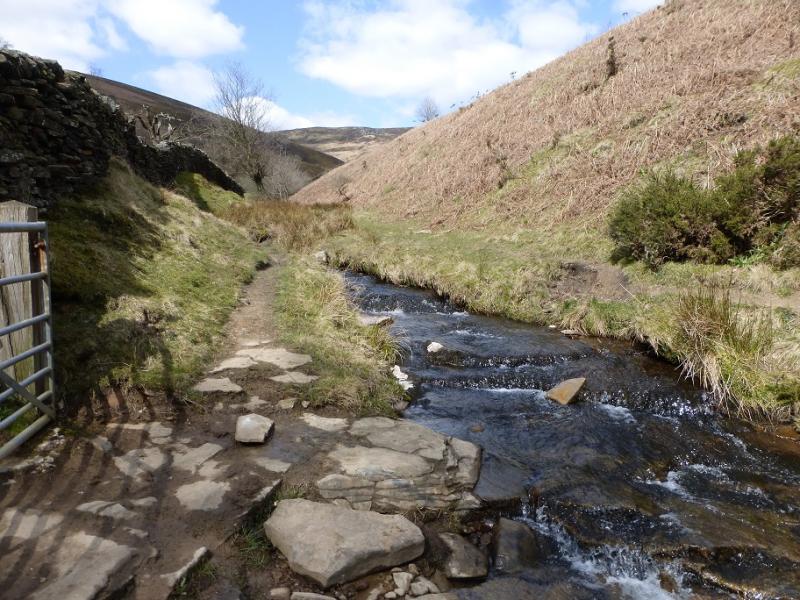
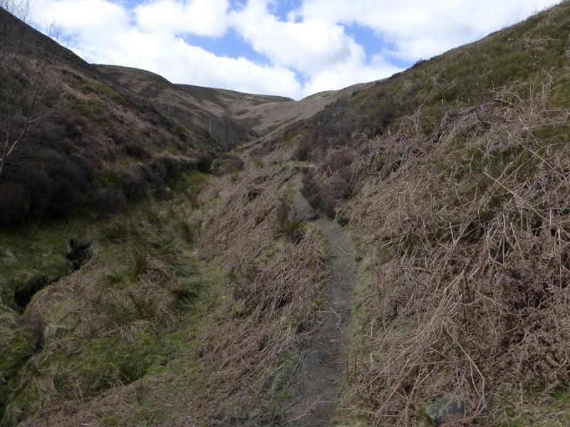
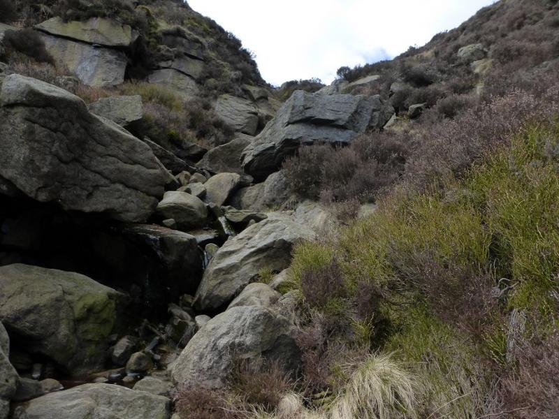
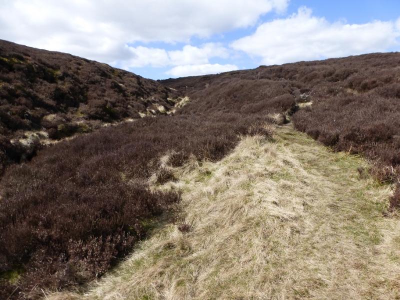
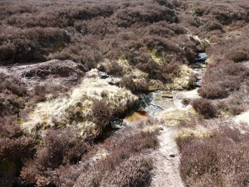
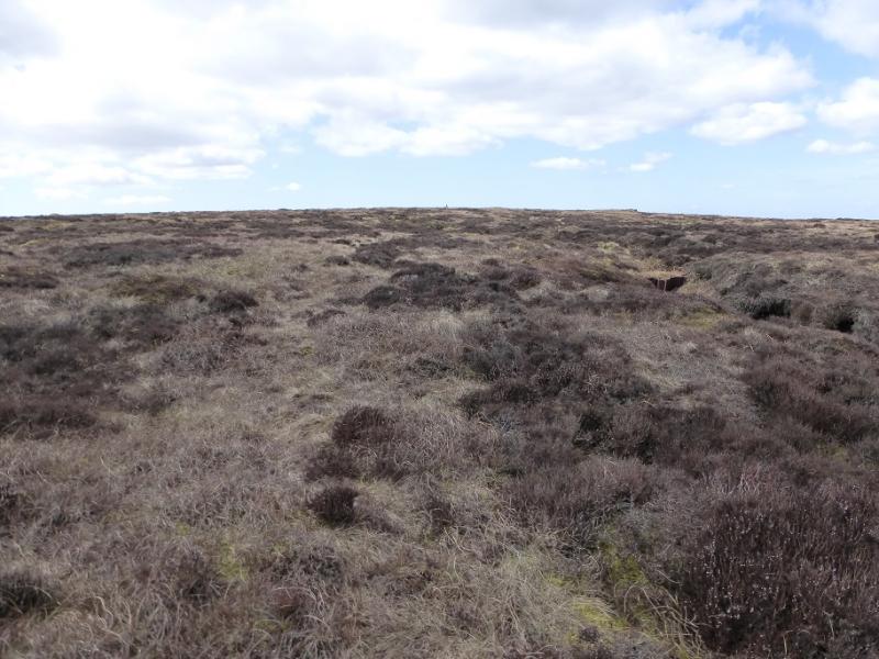
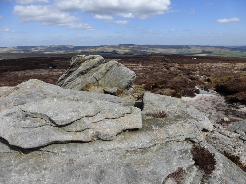
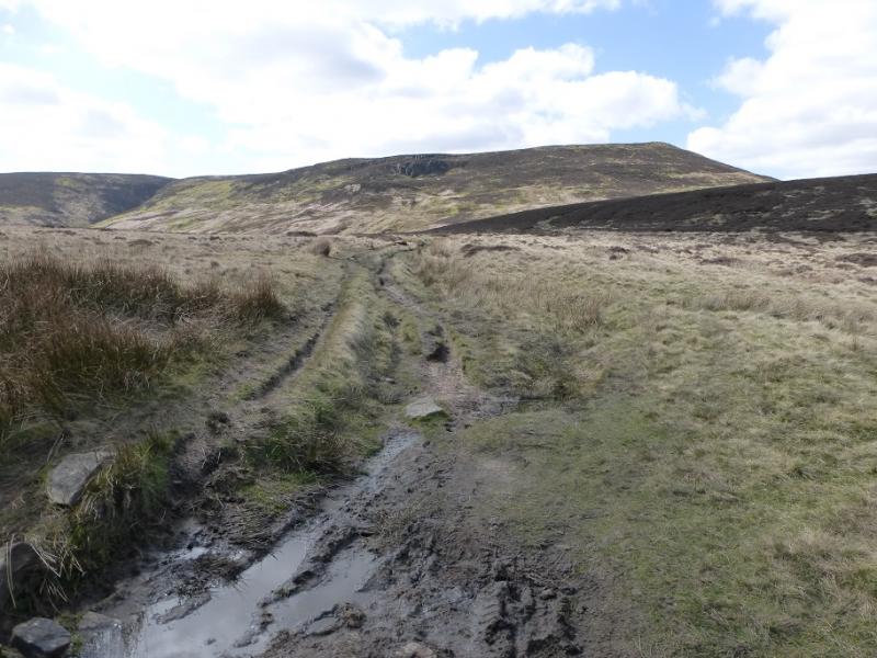
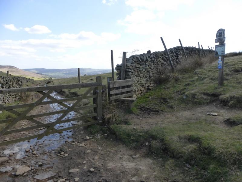
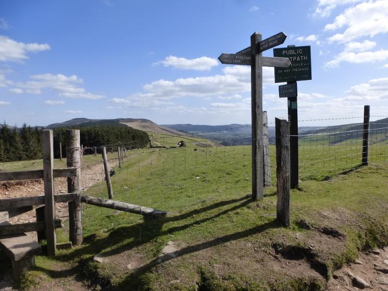
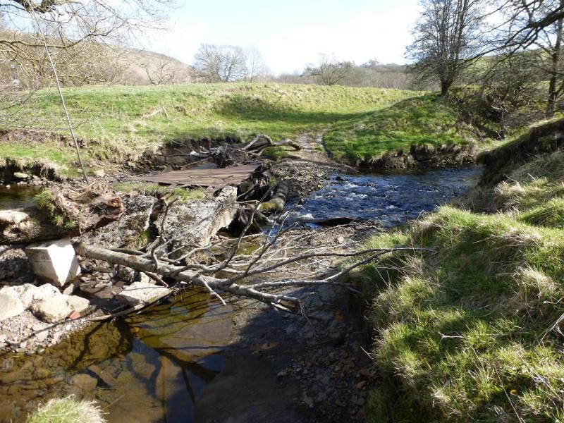
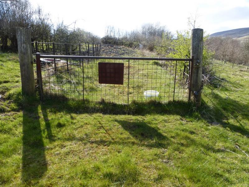
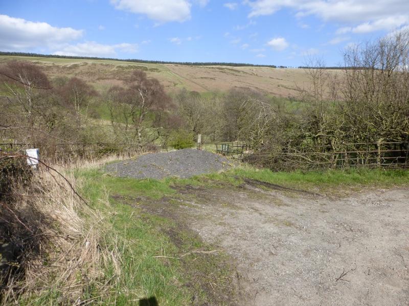
(1) From the lay by, walk W, along the road, for a few hundred metres to reach the entrance for Carr House. Follow the private road past the house and continue on the signed grassy track which leads to the farm at Edale End where a stile is crossed followed by a short detour to the right which leads to signs for Jagger's Clough by the main house. Go up the track to reach a gate. Immediately, fork left and follow a path to gradually descend to the stream. Continue on the path to reach a bridge which leads into Backside Wood (signed soon after). Follow the path, shadowing the stream, through the wood to emerge at a stone stepped stile. Cross over to join a very good track. It looks possible to take the path by the stream but it is fenced off further on so follow the track for about 100 m until it turns uphill and then join the path by the stream. Follow this path, eroded in places, for about 2 km. It steepens in places and will be boggy after rain. In a dry spell, walk in the slabby stream bed where possible. After the steepest and rockiest section (it isn't a scramble, though), the angle eases and most of the rocks are left behind. The main edge path is almost immediately crossed. Continue following the path (and stream until it runs out). Go almost due W. In clear weather, the white trig point will soon be visible and the path, faint in places, goes all the way to reach Ringing Roger Trig Point, 590 m. The area around the trig point has recently been slabbed making it ideal for picnics.
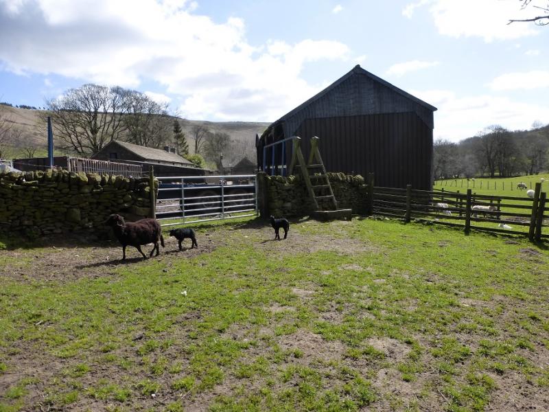
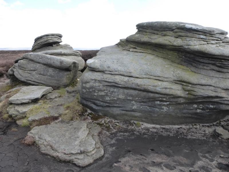
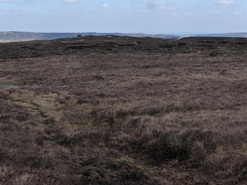
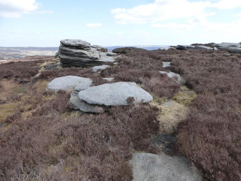
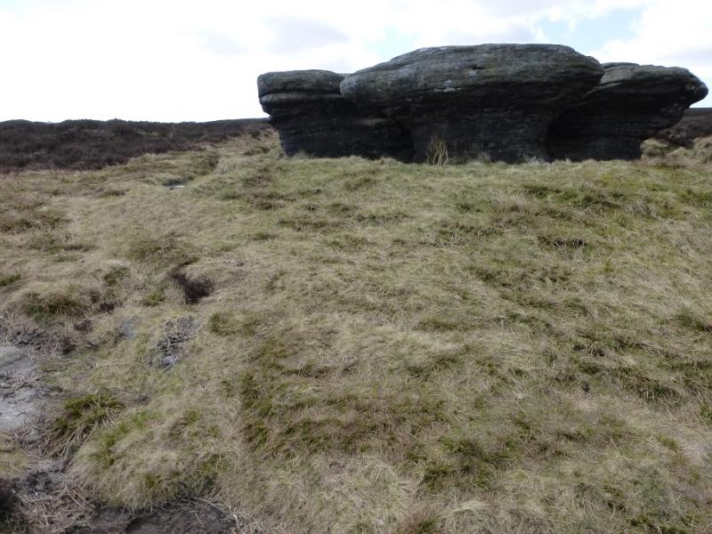
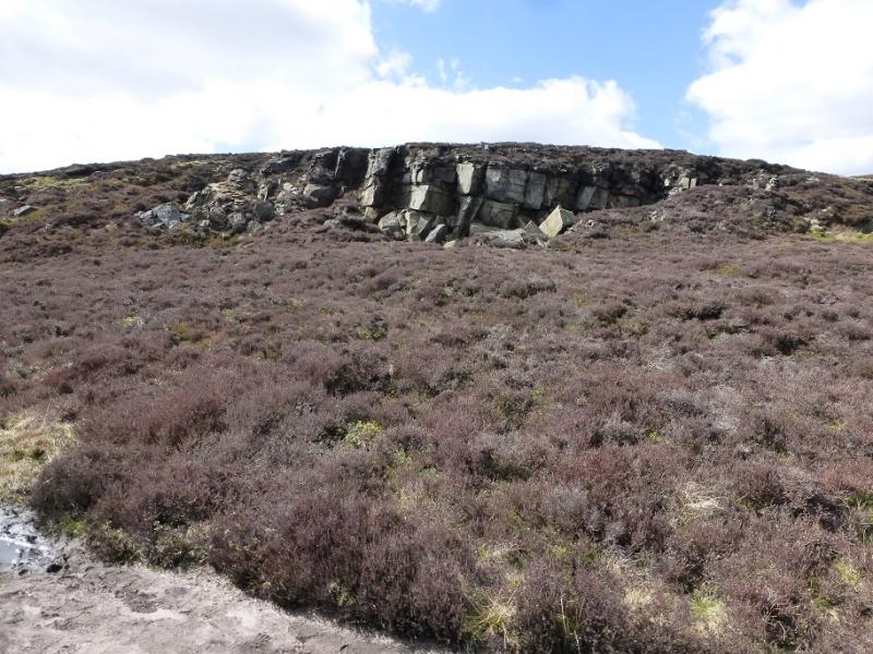
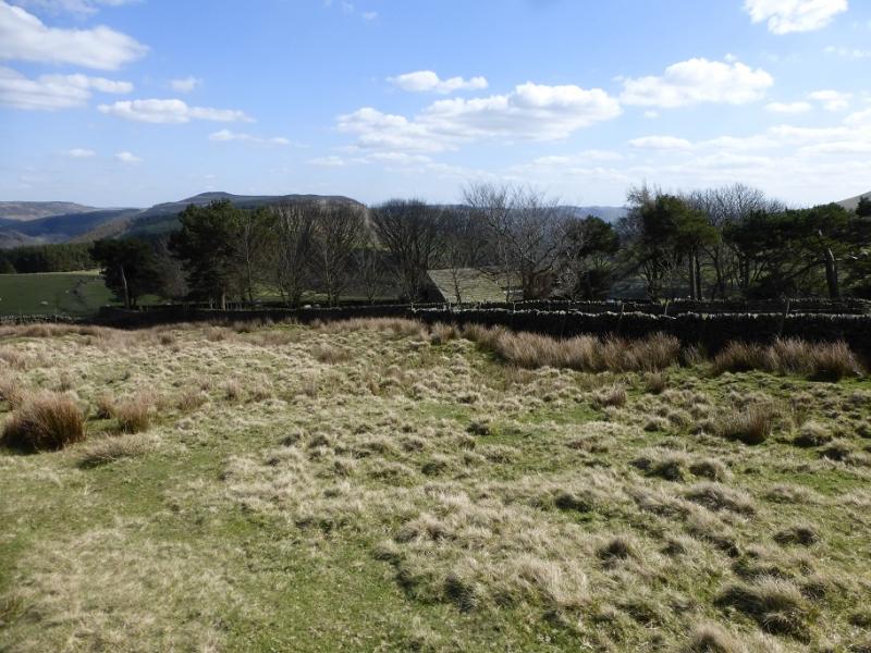
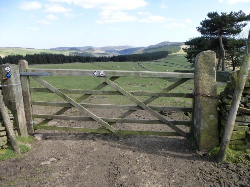
(2) Walk ENE, on a faint and boggy path through some peat hags, to reach an outcrop then continue to a larger one which is Madwoman's Stones. Continue in the same direction, on a more obvious and cleaner path, to reach another outcrop at a crossroads. Go straight on and follow the path which descends down Crookstone Hill to the SE of Crookstone Knoll. Some small cliffs are passed which are often known as Crookstone Rocks. There are good views down Jagger's Clough. The path continues down towards Crookstone Barn – a building in a walled enclosure. Unusually, a locked gate block direct access so go left along the wall then right at the National Trust sign. This is now the main path for Win Hill. Reach a signed crossroads and go right (Edale). This is a good modern track which was used earlier after Backside Wood. Follow the track down, for a short distance, to a sign by a fence corner. Take the grassy track and follow it down to the gate above Edale End. Retrace back to Carr House then the road back to the lay by. This section can be shortened slightly by crossing the remains of the bridge to the W of Edale End but a barbed wire fence impedes access. Once across the river, the track leads back to the road but a gate has to be climbed over. It is a short stroll along the road back to the start.
Notes
(a) This walk took place on 19th April, 2016
Photos - Hover over photo for caption. Click on to enlarge. Click on again to reduce.