Get Lost Mountaineering
You are here: England » Peak District » Bleaklow, Alport, Derwent Edge & Howden Edge from Derwent Valley
Grinah Stones & Barrow Stones via Linch Clough from King's Tree
Grinah Stones & Barrow Stones via Linch Clough from King's Tree
Start/Finish
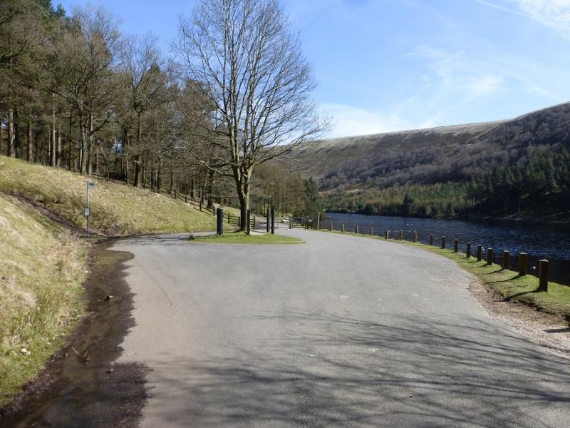
King's Tree (limited parking) which is the end of the minor road aout 5 miles past Fairholmes car park just to the S of the Derwent Dam. This is about 2 miles up the minor road, from the A57 (Snake Pass), on the W side of the Ladybower Viaduct which crosses the northern arm of Ladybower Reservoir. In winter, this road is often untreated and it can be quite hazardous under snow and ice. The A57 is usually gritted but it does not take much wintry weather to close the Snake Pass at its highest point, beyond the Snake Inn. On weekends and bank holidays, the minor road is closed beyond Fairholmes but a regular bus service runs to the end of the road. There are toilets and a snack bar at Fairholmes.
Distance/Time
14 km. About 4 – 5 hours.
Peaks
Grinah Stones, c580 m, SK 130 961.
Barrow Stones, c590 m, SK 133 968.
OS Outdoor Leisure 1: Dark Peak. OS110: Sheffield & Huddersfield
Introduction
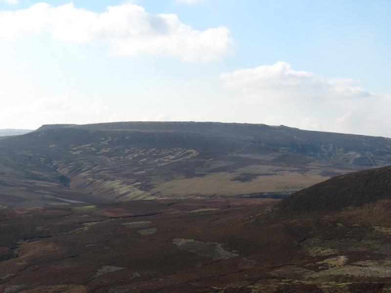
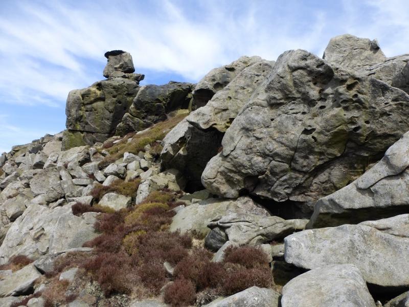
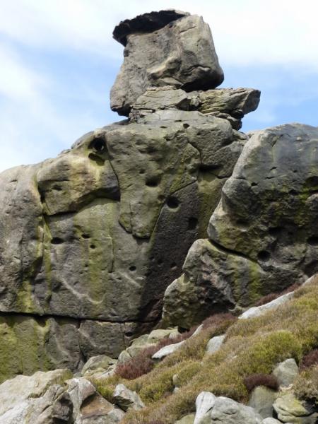
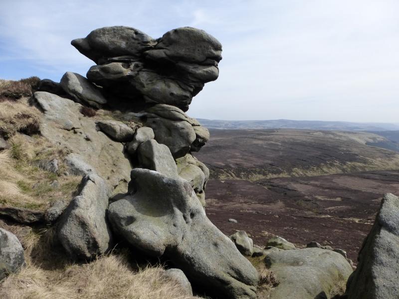
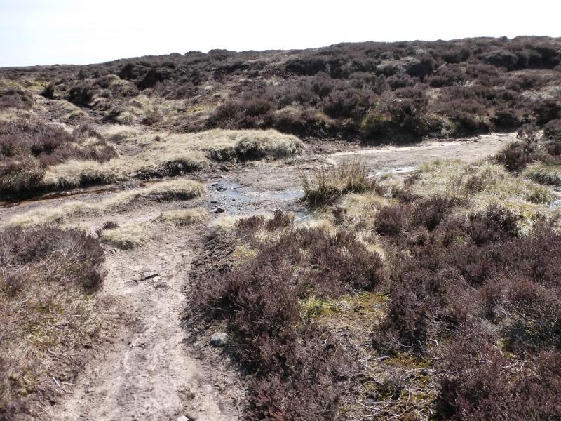
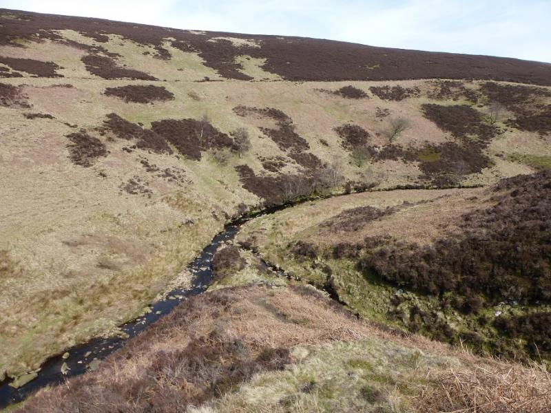
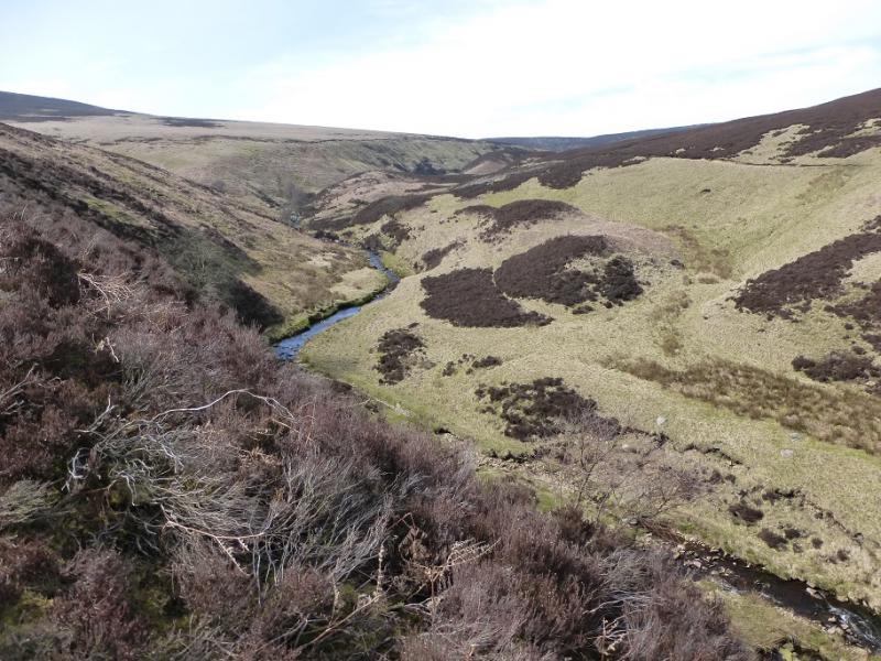
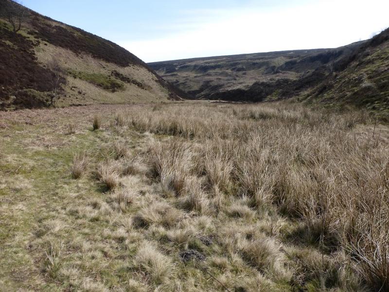
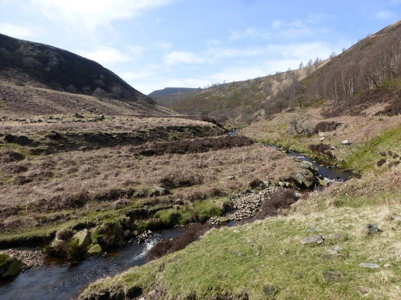
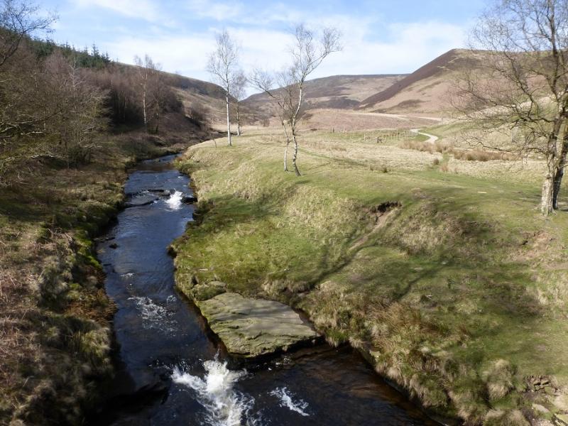
This is a good walk but some of the going is rough and boggy even in a dry spell so gaiters are recommended. Note that King's Tree is not accessible by car at weekends or bank holidays. There are fine views across the Derwent Valley to the Howden Edge. The River Derwent has to be crossed at the foot of Lower Small Clough and this will not be possible after recent rain. There is also a tributary of the River Derwent which can be awkward to cross after rain. This route picks its way up the interesting side of Grinah Stones which needs care but is straightforward. Few do this as they simply walk along the edge path above the stones.
Route
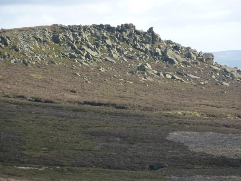
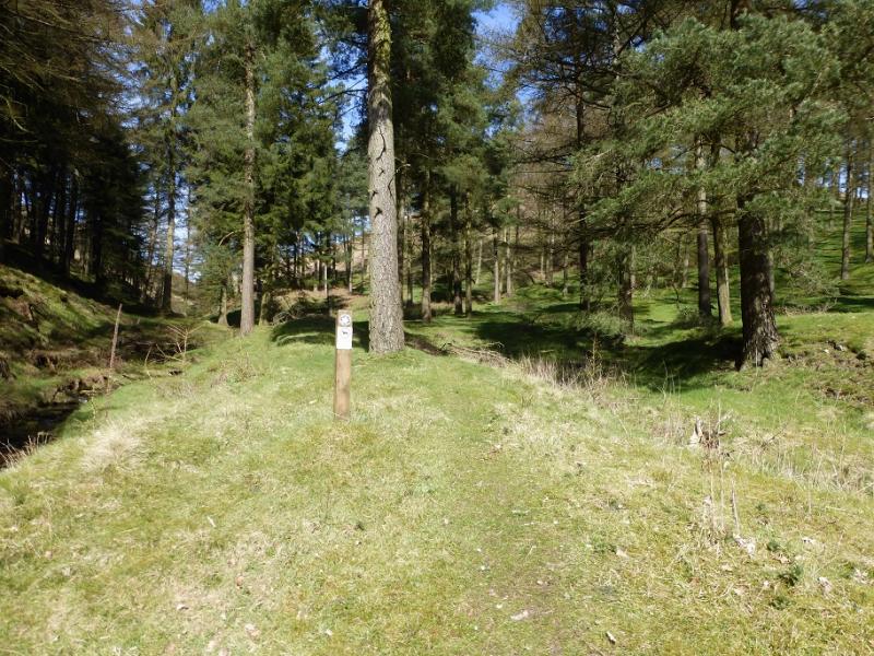
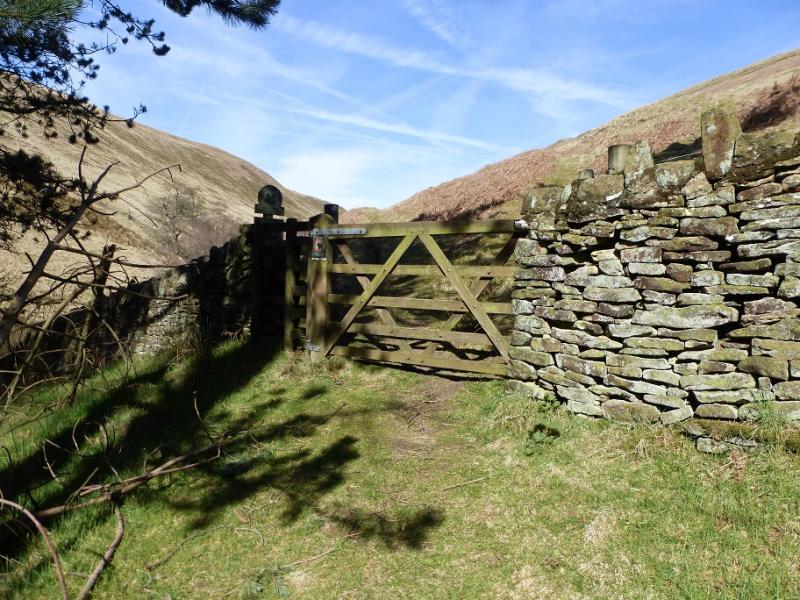
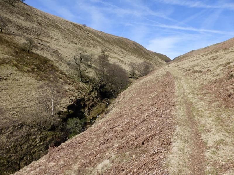
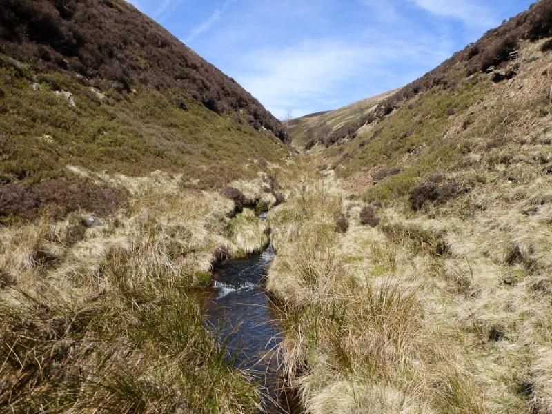
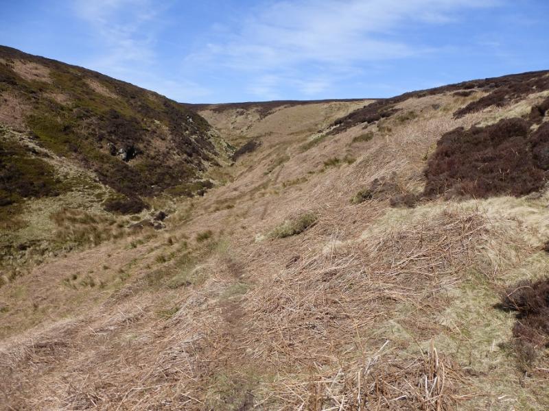
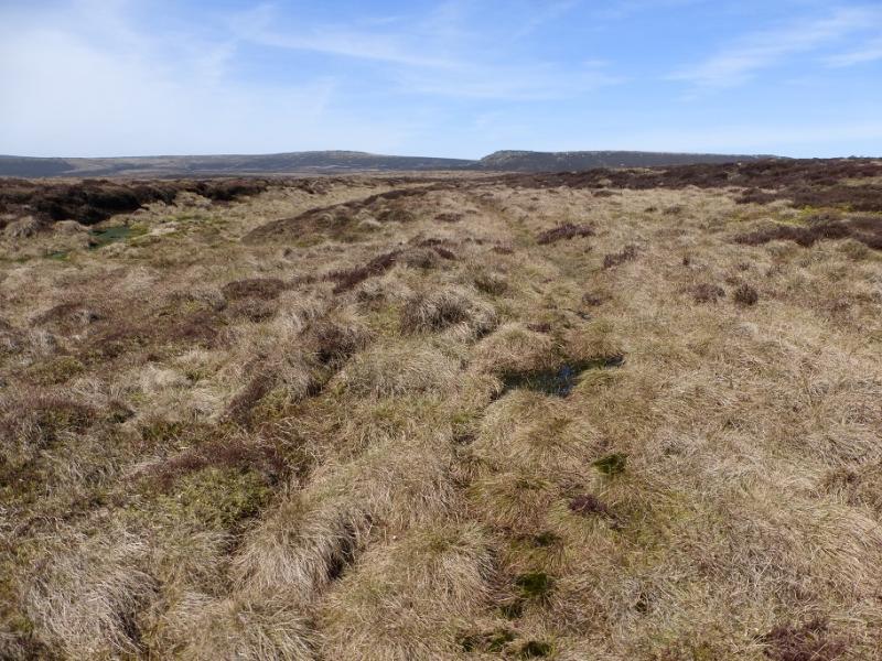
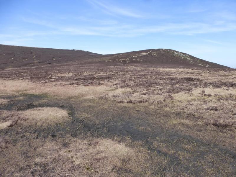
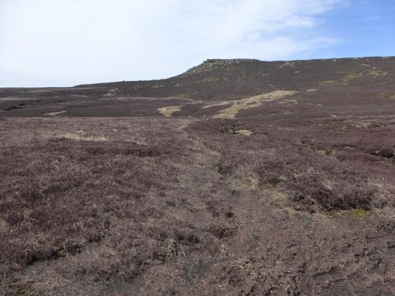
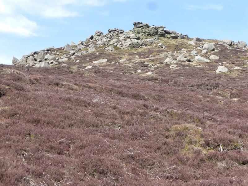
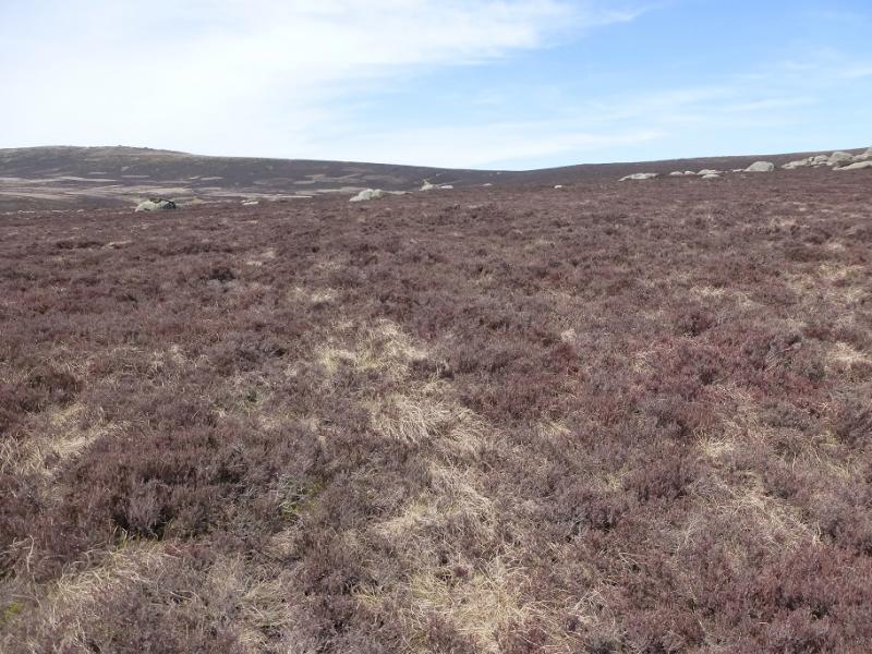
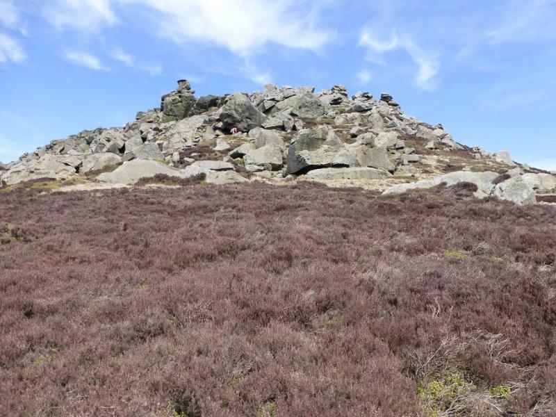
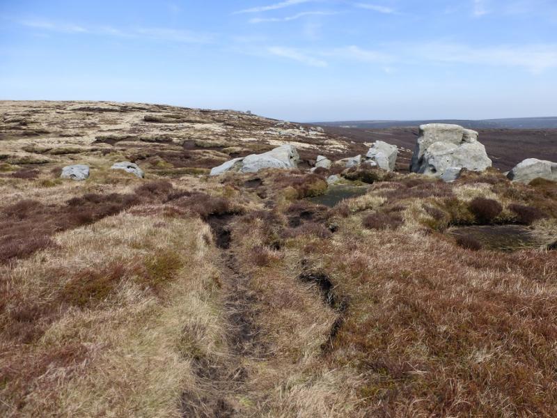
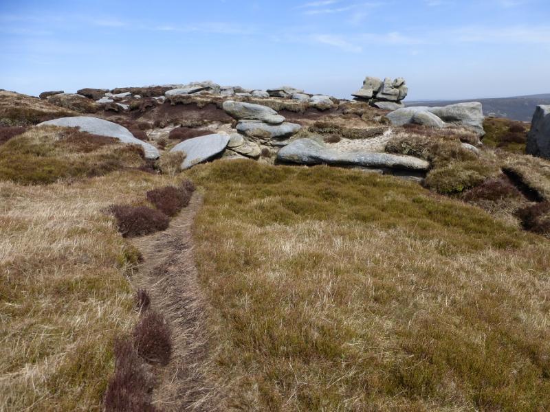
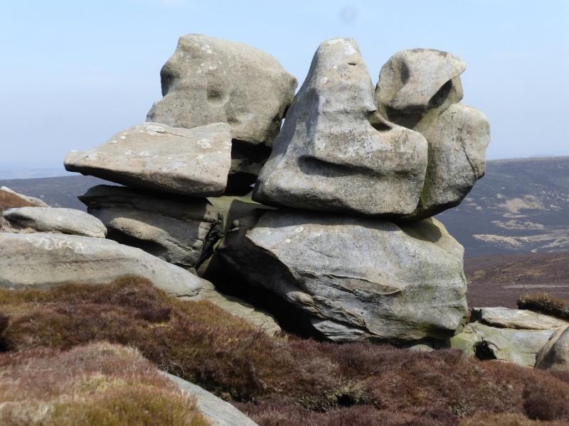
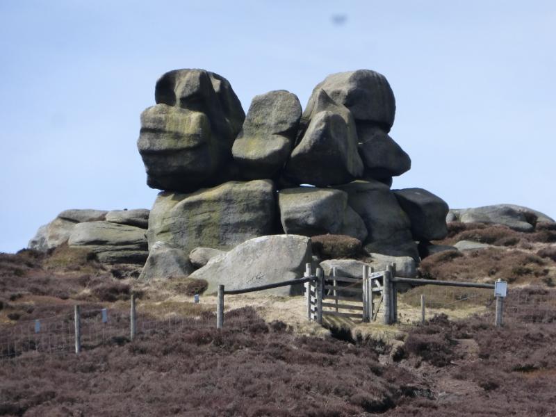
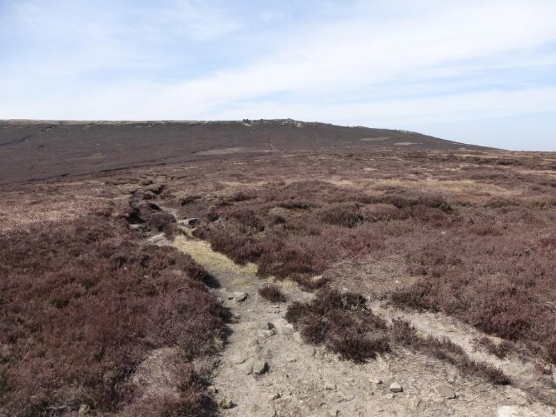
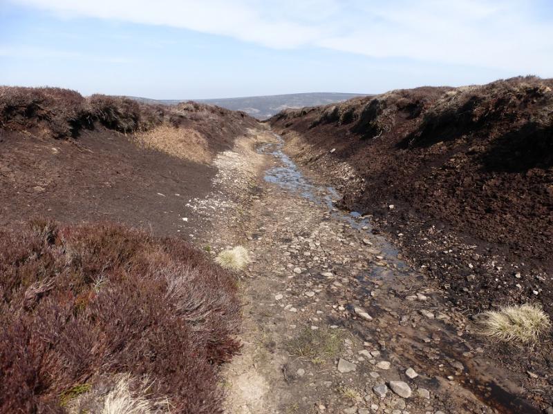
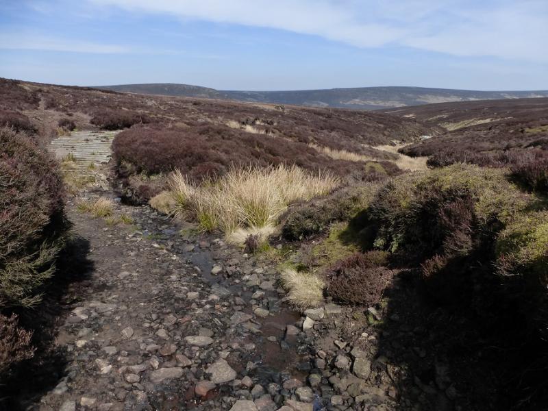
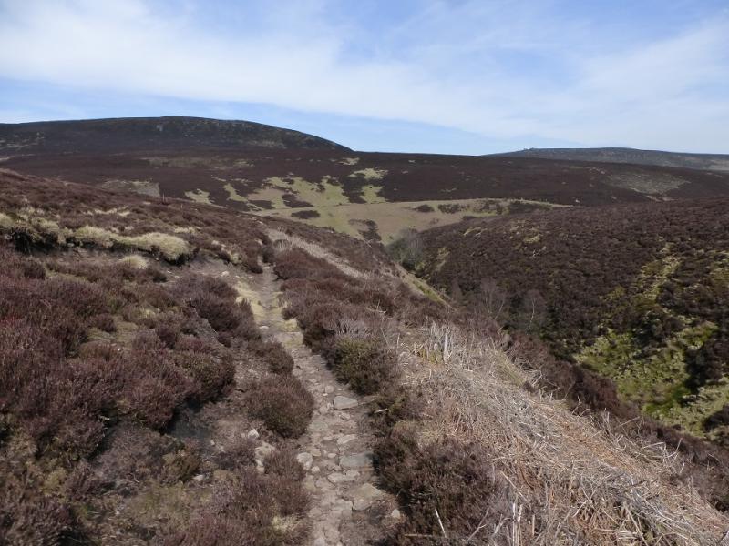
(1) Continue up the track from King's Tree but within 200 m, go left on the signed path. This goes through a short wood to a gate, after which there is a sign saying Linch Clough. Follow the path up the clough, easy at first but it becomes fairly faint higher up. Try to follow the clough, sometimes up its right bank, for as far as possible. When the angle eases, pick a route carefully as there is some deep heather around. Reach a very wide and shallow groove with a path and ATV track running along it. Follow this, roughly NW. Cross a very distinctive groove with a track in it; this will used on the return. Continue towards Round Hill on the boggy ATV track. In clear weather, Grinah Stones will be very visible. Before the foot of Round Hill is reached, the boggy track splits (not very obviously). Take the left fork which heads towards Grinah Stones. When the track turns S, go W using an old track through the heather. Follow this round (it can get faint) to reach a line of boulders. Follow these up (some rough heather) to the foot of Grinah Stones and pick a way up through them to the highest point which is not marked or obvious but this is Grinah Stones, c580 m.
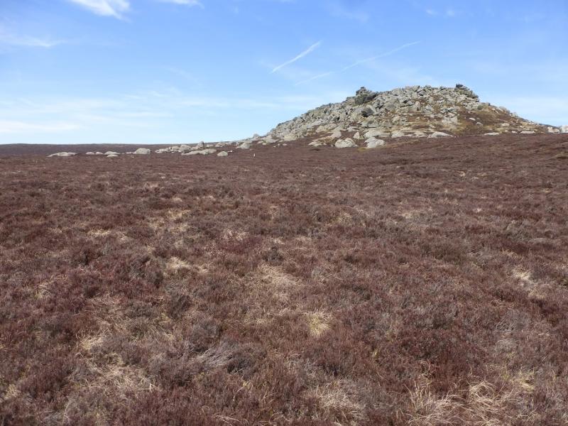
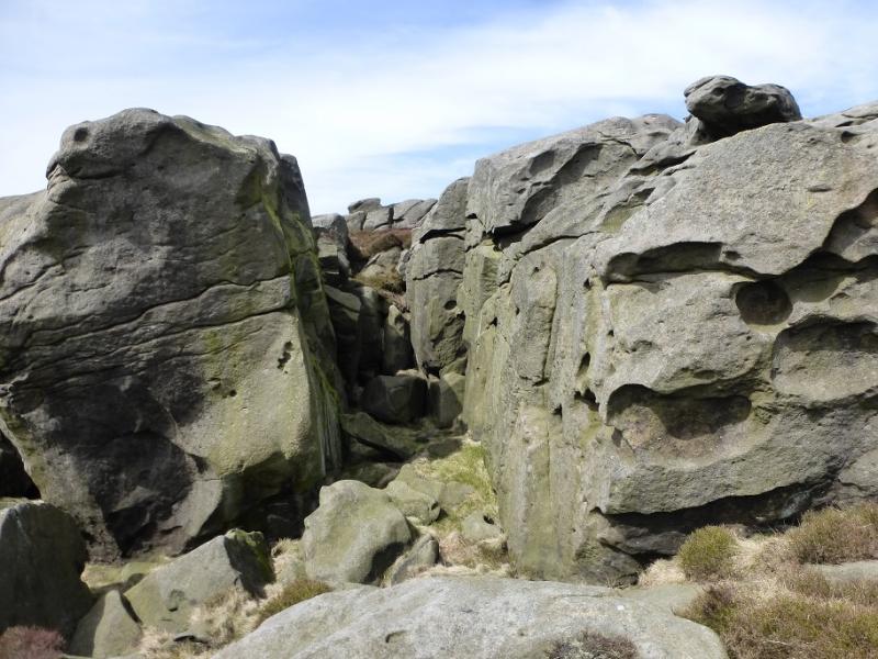
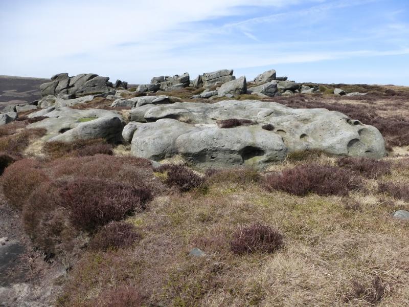
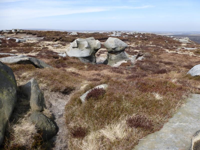
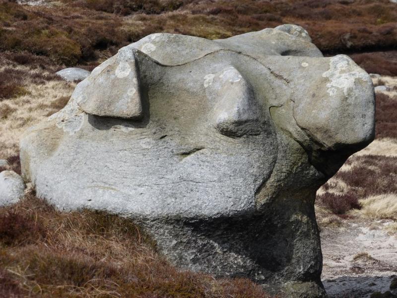
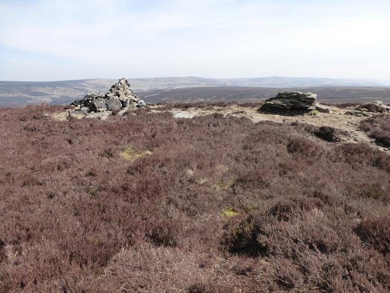
(2) Follow the obvious edge path NNE towards Barrow Stones which are not as dramatic but have some interesting shapes. Again there is no cairn or obvious high point but this is Barrow Stones, c590 m.
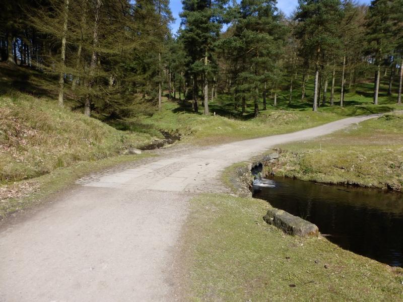
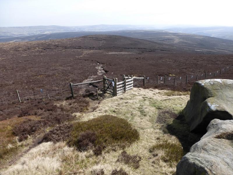
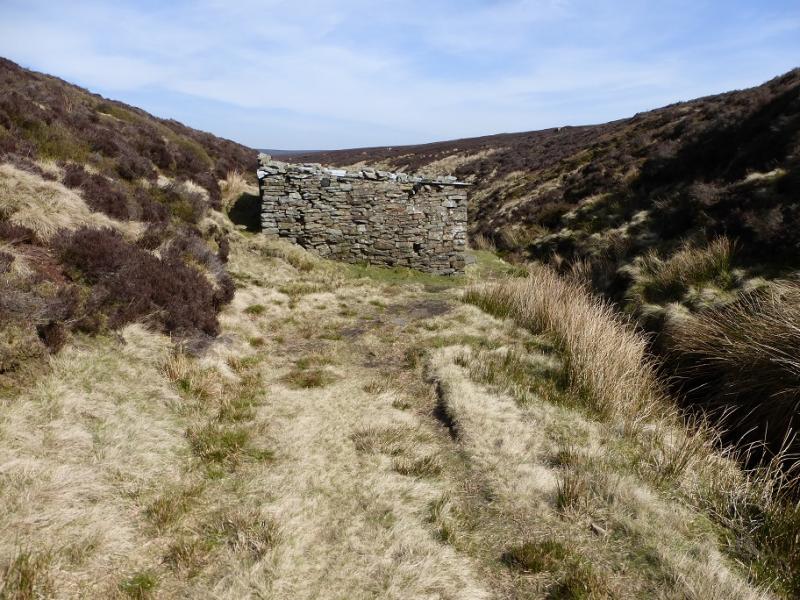
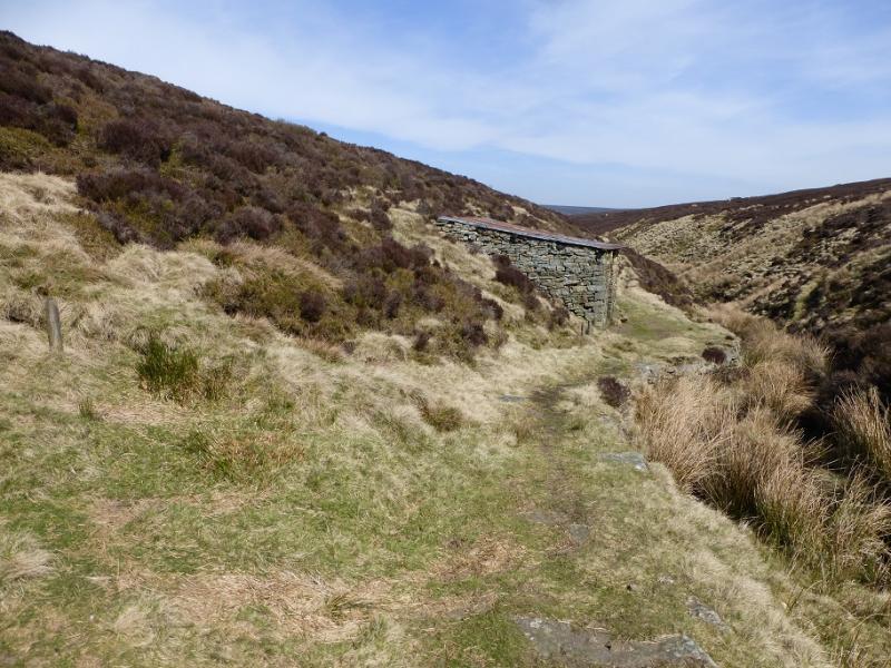
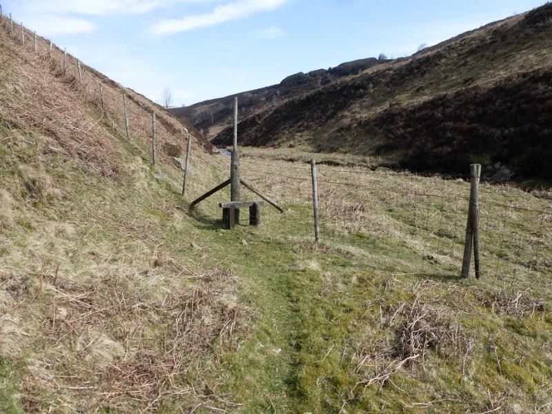
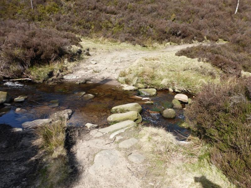
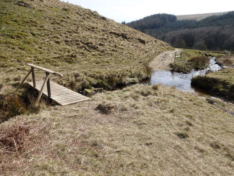
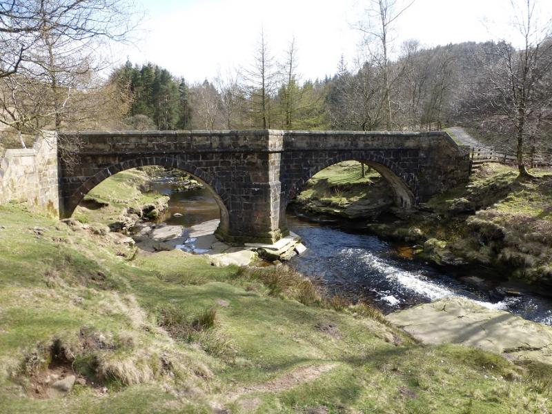
(3) Locate the gate in the fence to the E and follow the path to Round Hill where there is a cairn/shelter wall. Follow the path down its S ridge a nd rejoin the outward ATV track. Follow it back to where it crosses the obvious track in a cutting. Go left and follow the cutting down. This leads to Lower Small Clough. Two stone huts are passed, the second is an open shelter with a table and chairs! Continue down on the obvious path which is quite dry. Reach the River Derwent at the bottom of the clough. Cross the river as soon as possible and follow the path on its N bank. When a stile is reached, do not cross but follow the fence up to join the main track. Follow this back down the valley, crossing one significant tributary where there is no bridge. Cross the stream at the foot of Cranberry Clough then soon reach the Slippery Stones bridge. Cross over. It is just over 1 km along the track back to King's Tree.
Notes
(a) This walk took place on 21st April, 2016.
Photos - Hover over photo for caption. Click on to enlarge. Click on again to reduce.