Get Lost Mountaineering
You are here: England » Peak District » Bleaklow, Alport, Derwent Edge & Howden Edge from Derwent Valley
Alport Castles, Bleaklow Stones, Grinah Stones & Barrow Stones from Westend River Mouth
Alport Castles, Bleaklow Stones, Grinah Stones & Barrow Stones
from Westend River Mouth
Start/Finish
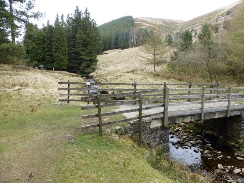
Mouth of the Westend River which meets the minor road up the Derwent Valley at the western end of the largest inlet to the north of Fairholmes. There is limited verge parking. It is about 3.5 miles past Fairholmes car park just to the S of the Derwent Dam. This is about 2 miles up the minor road, from the A57 (Snake Pass), on the W side of the Ladybower Viaduct which crosses the northern arm of Ladybower Reservoir. In winter, this road is often untreated and it can be quite hazardous under snow and ice. The A57 is usually gritted but it does not take much wintry weather to close the Snake Pass at its highest point, beyond the Snake Inn. On weekends and bank holidays, the minor road is closed beyond Fairholmes but a regular bus service runs to the end of the road. There are toilets and a snack bar at Fairholmes.
Distance/Time
14 km About 5 hours
Peaks
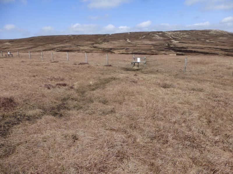
Westend Moor Trig Point, c500 m, SK 128 933.
Bleaklow Stones, c620 m, SK 112 965.
Grinah Stones, c580 m, SK 130 961.
Barrow Stones, c590 m, SK 133 968.
OS Outdoor Leisure 1: Dark Peak. OS110: Sheffield & Huddersfield.
Introduction
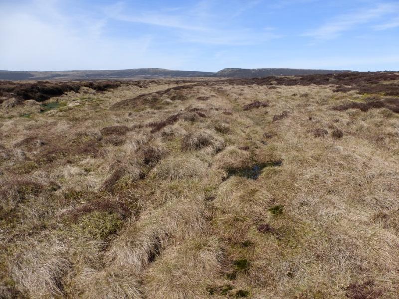
This is a fine ridge walk in the Dark Peak which, in good weather has good views towards Kinder, looks down on Alport Castles, visits Bleaklow Stones, Grinah Stones and Barrow Stones with good views N to Black Hill. Some of the going is boggy, even in a dry spell, and gaiters are recommended. The ascent from the start is a steep track. The final descent back to the start is a much gentler track.
Route
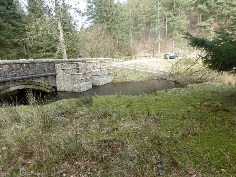
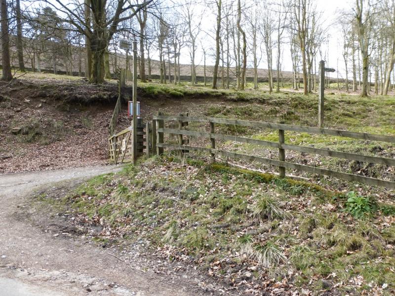
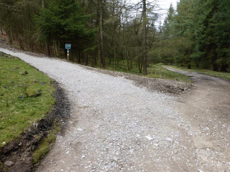
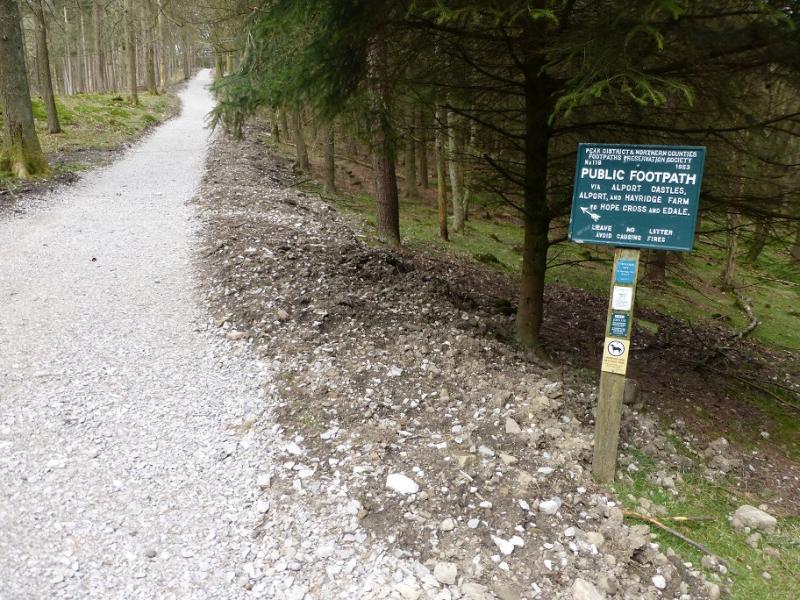
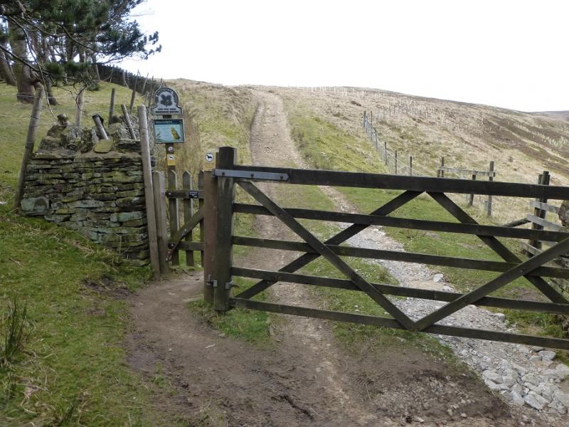
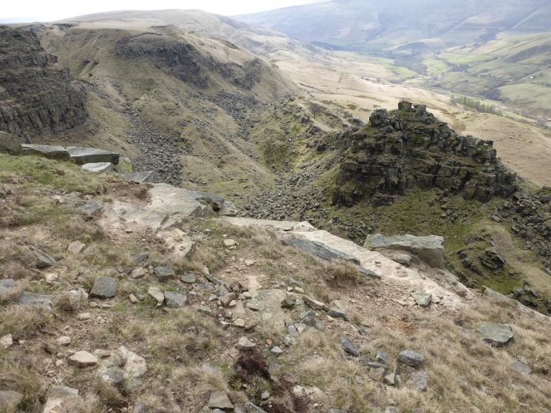
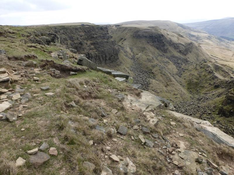
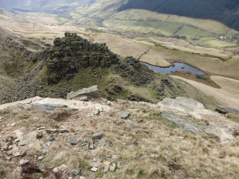
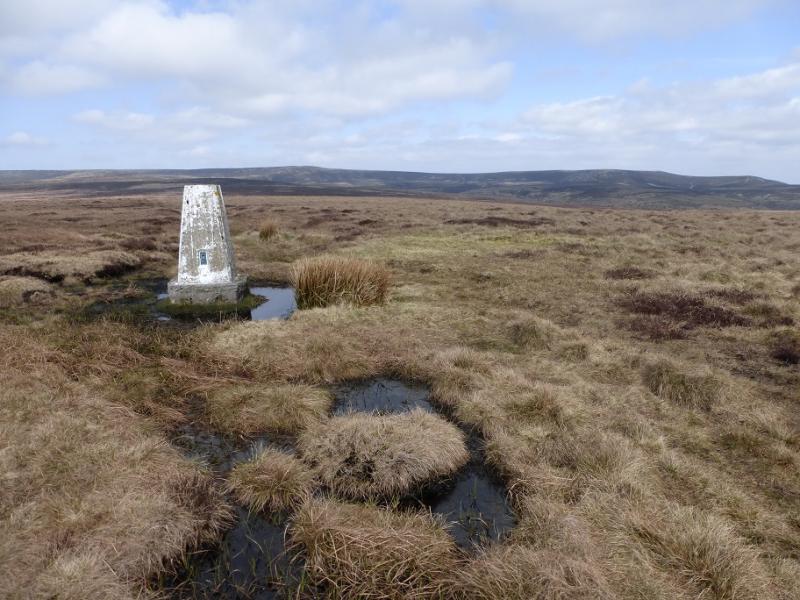
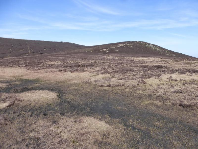
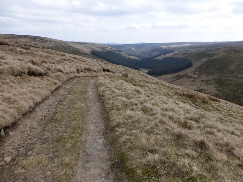
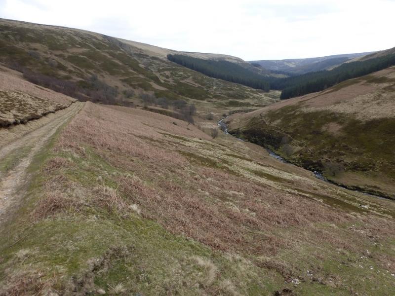
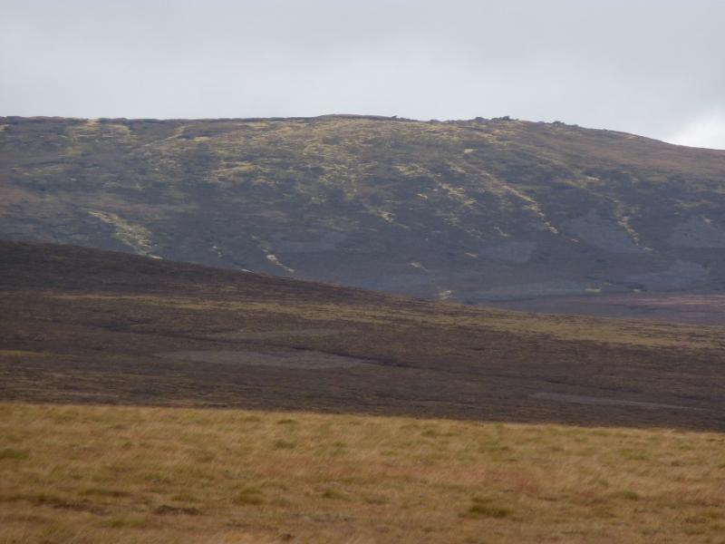
(1) Walk up the obvious track on the S side of the river. It soon splits. Take the left fork (signed) and follow it up quite steeply until it leave sthe forest. Continue on a more grassy track past lots of grouse butts until one reaches the crest of the Alport Ridge at a broken wall. Down the other side of the ridge is Alport Castles created by landslips over many years. Follow the path N along the edge which later crosses two fords (shown on map). At the second ford, go N on a more boggy path which leads to the trig point on Westend Moor, c 500 m. From here, there are good views of the Bleaklow ridge.
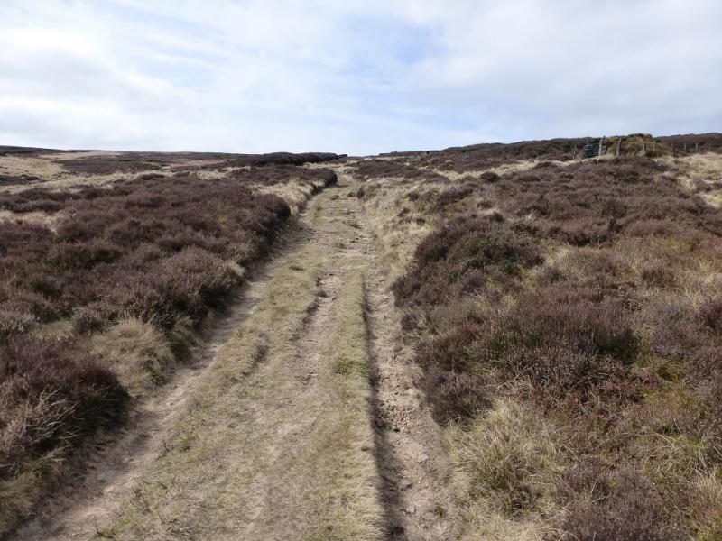
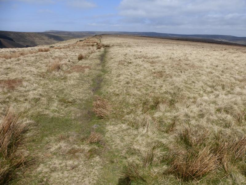
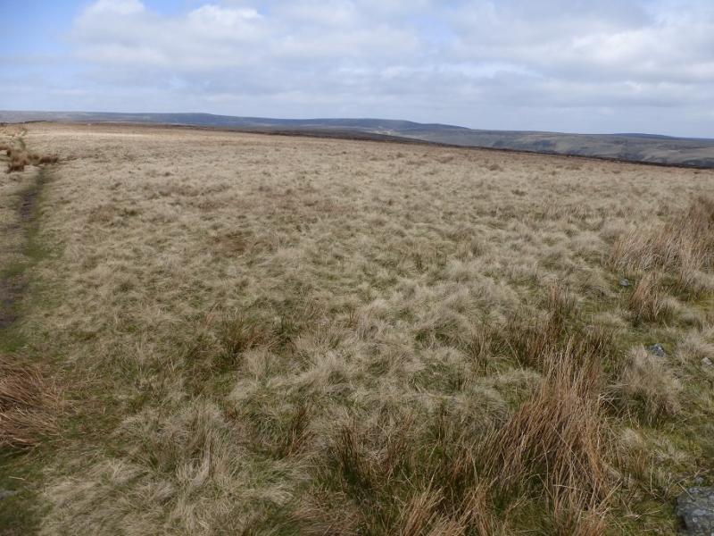
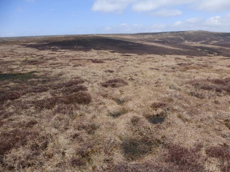
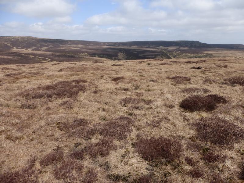
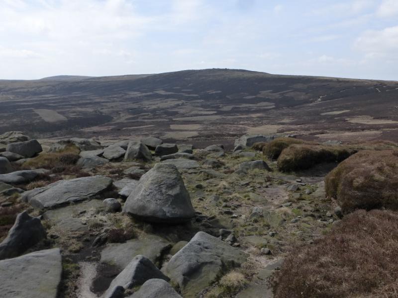
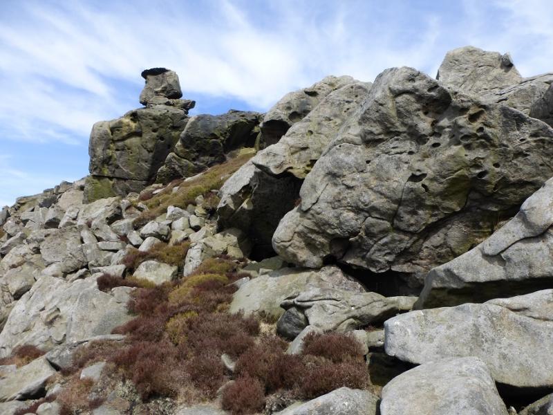
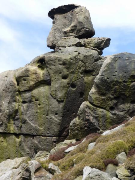
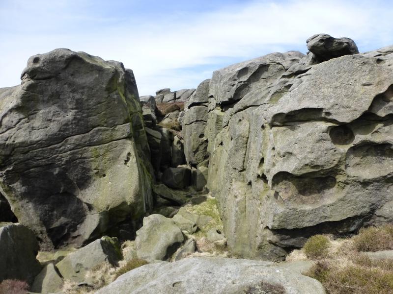
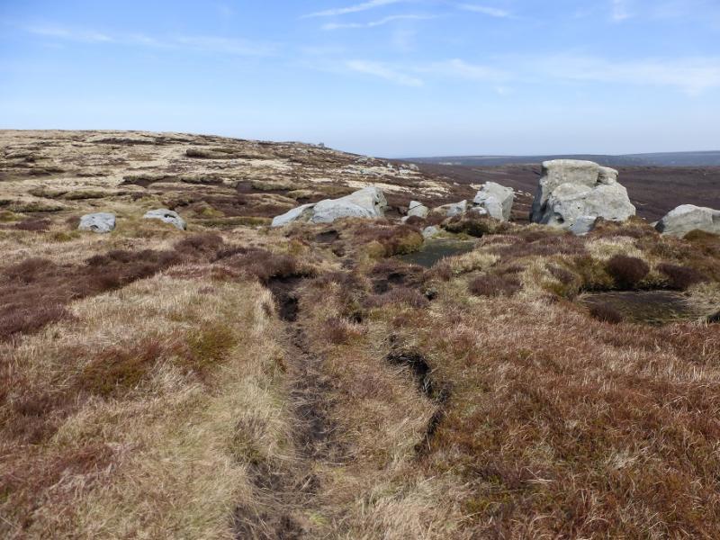
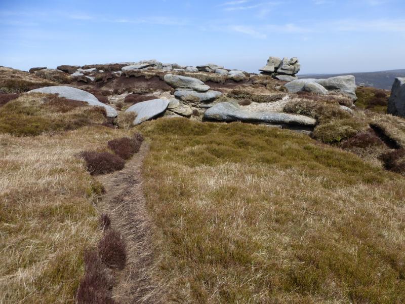
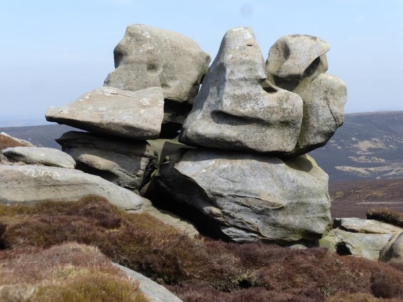
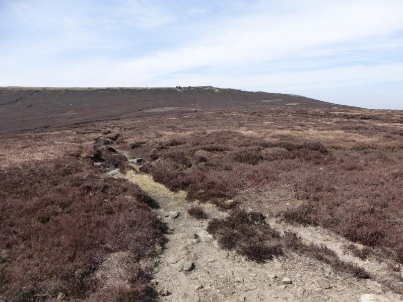
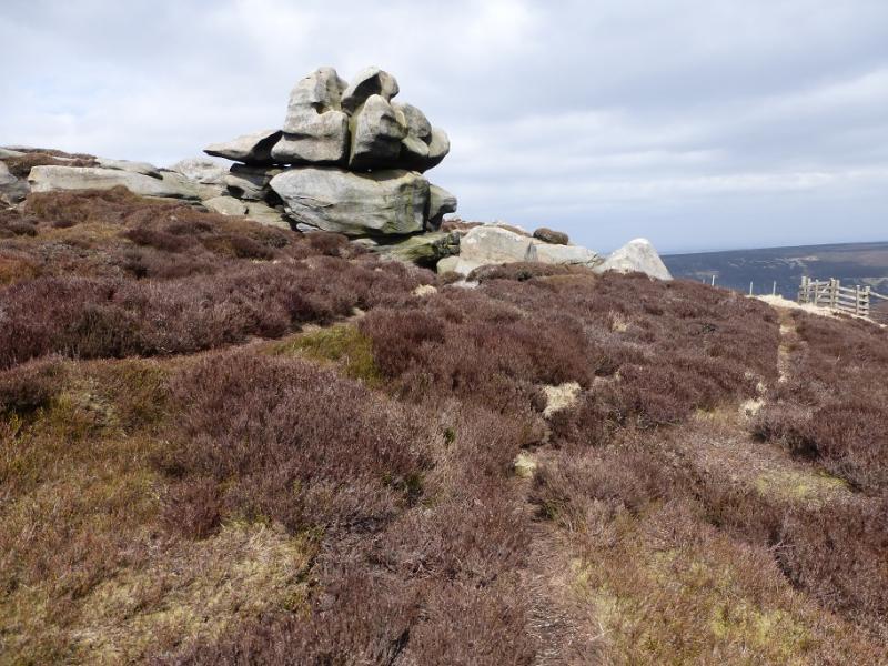
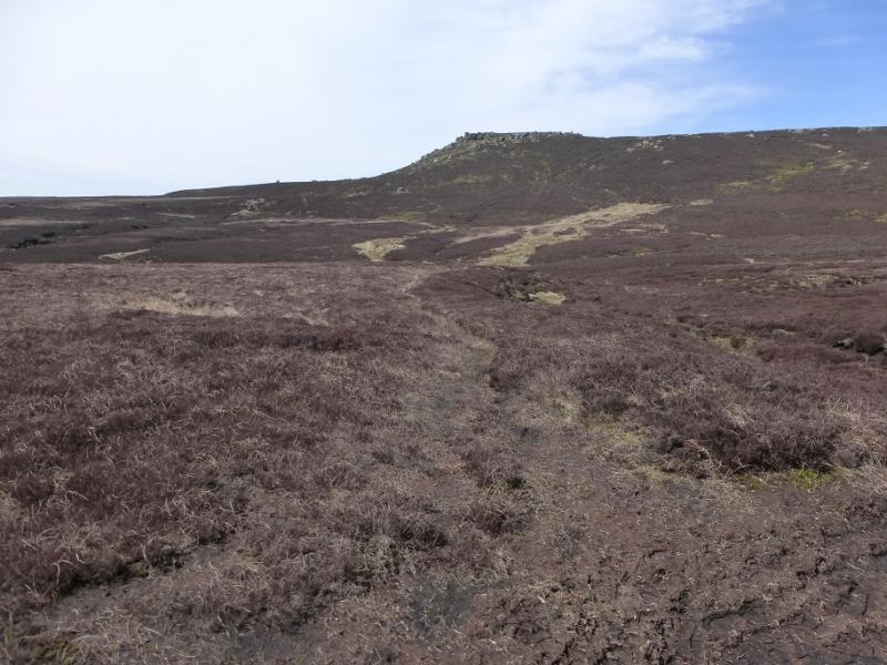
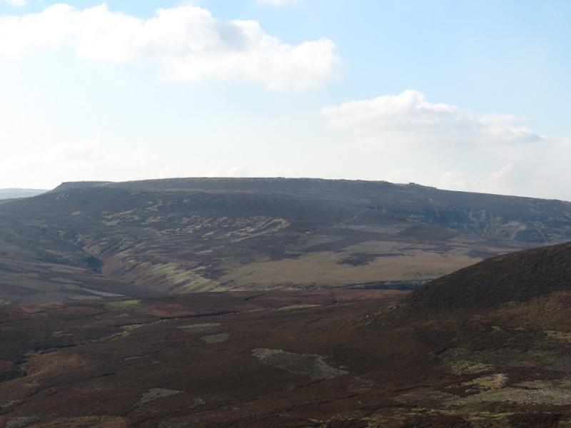
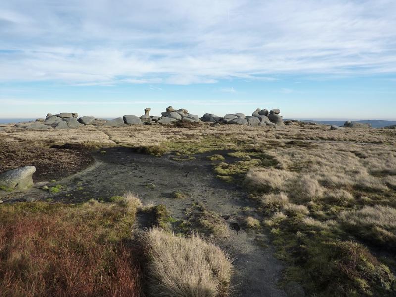
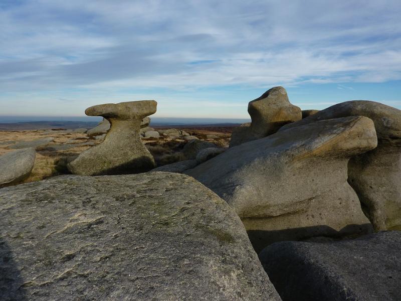
(2) Continue, descending roughly NNW, on more boggy ground with only hints of paths for about 700 m to the flattish hollow of Pt 499 at SK 124 938. Continue, ascending roughly NNW, for about 800 m the flattish top of Pt 535 at SK 119 945. Descend roughly W for about 500 m to reach a very broad col, c 500 m, at SK 115 945. There is more than a hint of a path on the N side of the Pt 535 mound which lead into the broad col. From the col, ascend, roughly N, for about 900 m, on to The Ridge which has a spot height at Pt 575, at SK 111 954. Continue ascending, still roughly N, for about 900 m to reach a cluster of large boulders and tors which is Bleaklow Stones, 620 m. Towards the northern end of these stones is a very distinctive one which resembles a blacksmith's anvil. There is plenty of shelter amongst the stones. Note that this section, from the trig point to Bleaklow Stones, is mainly pathless and none of the tops or hollows are marked by cairns. In thick weather, navigation is most difficult from the broad col to Bleaklow Stones. There is no summit cairn.
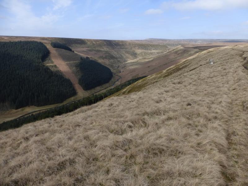
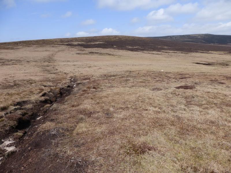
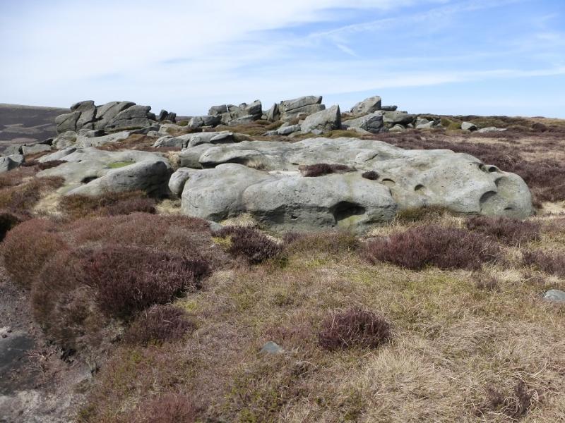
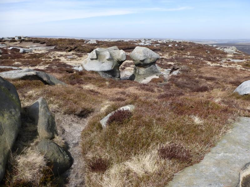
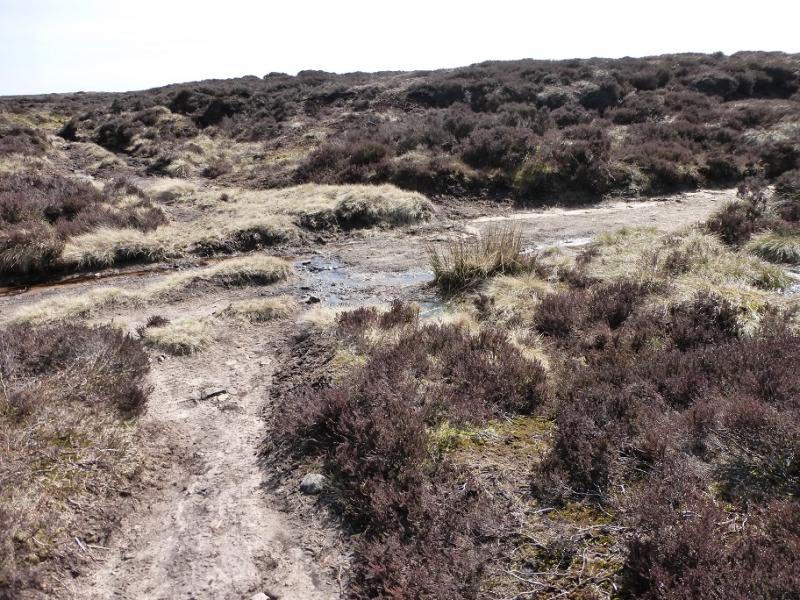
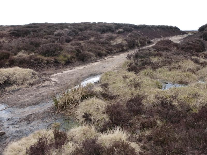
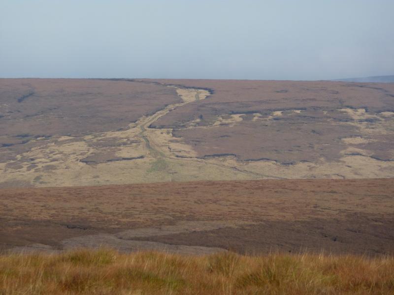
(3) Descend E to reach an obvious but boggy path which, in about 2 km, leads to Grinah Stones, c580 m, where, again, there is no summit cairn. In good weather, one should spot a track to the SE heading across Ridgewalk Moor. It is quite a rough heathery descent to reach this track and it is probably best to intercept at the obvious gate. Beyond the gate, the track ascends then flattens out and becomes quite wet and boggy. Follow the track until it meets a much better track (shown on the map) at about SK 140 965. Turn right on to the better track and follow it down for about 4 km until it reaches the minor road at the tip of the western inlet of the Howden Dam. From here, one can either walk back along the road or use the bus or bicycle options referred to earlier.
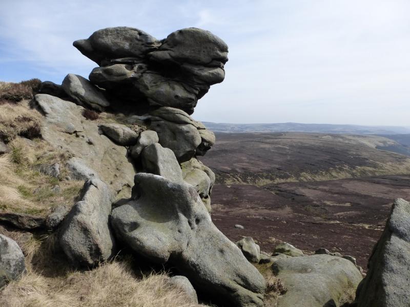
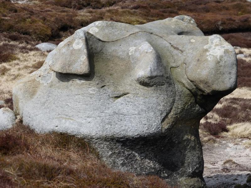
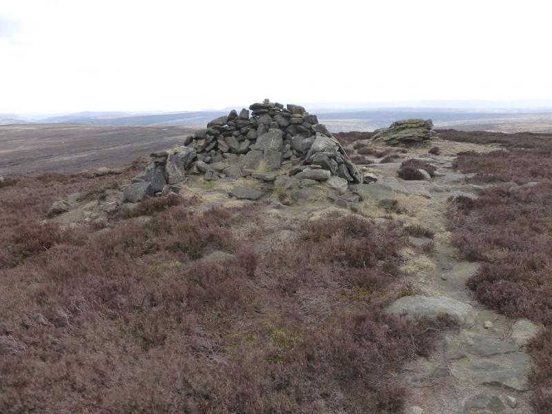
(4) Follow the obvious edge path NNE towards Barrow Stones which are not as dramatic but have some interesting shapes. Again there is no cairn or obvious high point but this is Barrow Stones, c590 m.
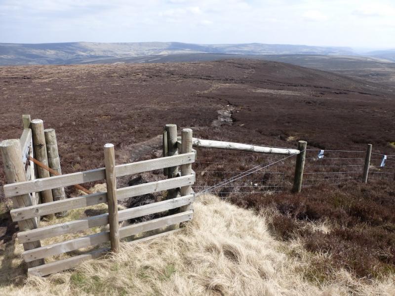
(5) Locate the gate in the fence to the E and follow the path to Round Hill where there is a cairn/shelter wall. Follow the path down its S ridge and join the ATV track along the crest of Ridgewalk Moor. Follow it to where it crosses the obvious track in a cutting. Go right on this track and follow it down into the Westend Valley. In 4 km it leads back to the start.
Notes
(a) This walk took place on 22nd April, 2016.
Photos - Hover over photo for caption. Click on to enlarge. Click on again to reduce.