Get Lost Mountaineering
You are here: England » Yorkshire Dales » Southern Area
Gordale Scar & Malham Cove from Malham
Gordale Scar & Malham Cove from Malham
Start/Finish
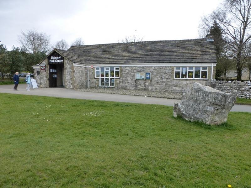
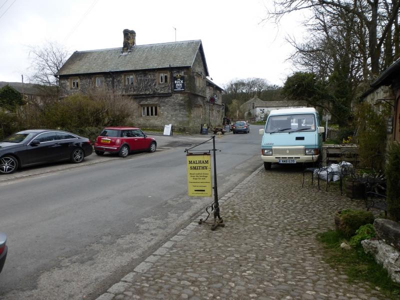
Malham Village where there is free parking on the lanes or pay and display in the National Park centre car park. If coming from the south, look to leave the A 65 around Coniston Cold. If coming from the north, look to approach via Settle.
Distance/Time
9 km. About 3 – 4 hours.
Peaks
No peaks as this is mainly an edge and moorland walk but the highest point is about 400 m.
OL10 Yorkshire Dales: Southern Area
Introduction
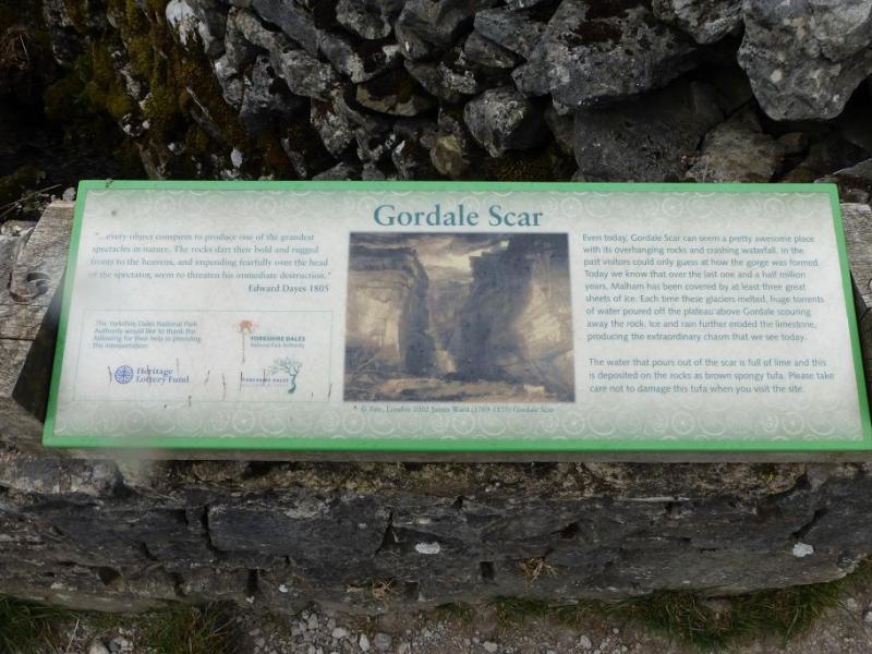
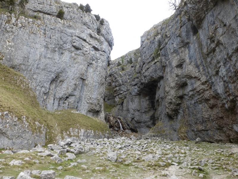
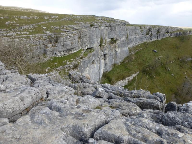
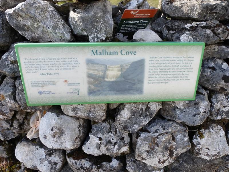
This is a fine walk in the heart of Limestone Country. It can include a short scramble up the lower waterfall in Gordale Scar but this is not recommended unless the rock is very dry as it is very slippery when wet. This route gives a steep alternative and allows the top of the waterfall to be reached but this involves much loss of height. Malham Cove is one of the most famous landmarks in England with its great limestone cliffs. The descent path safely descends the side of the cliff.
Route
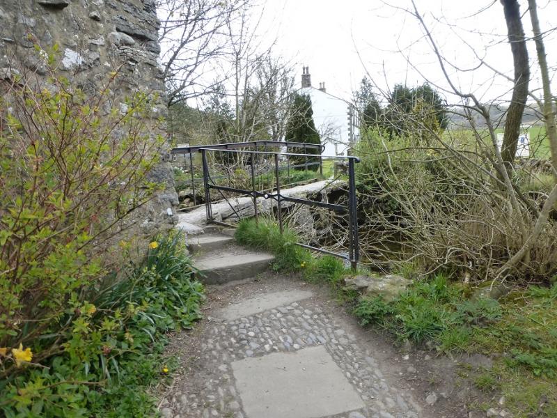
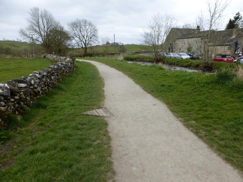
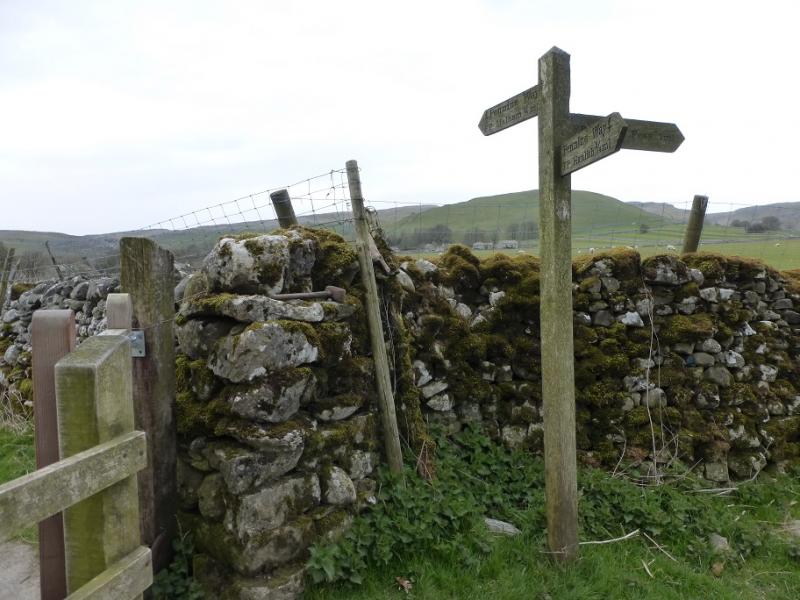
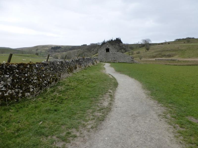
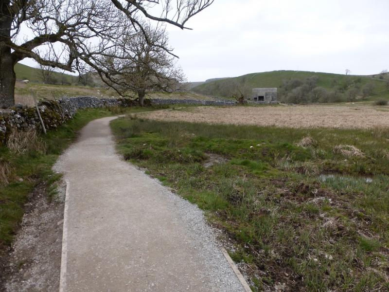
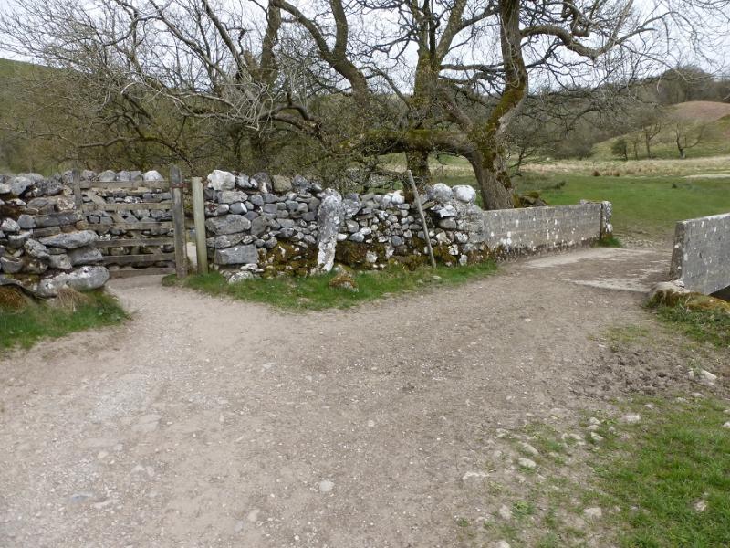
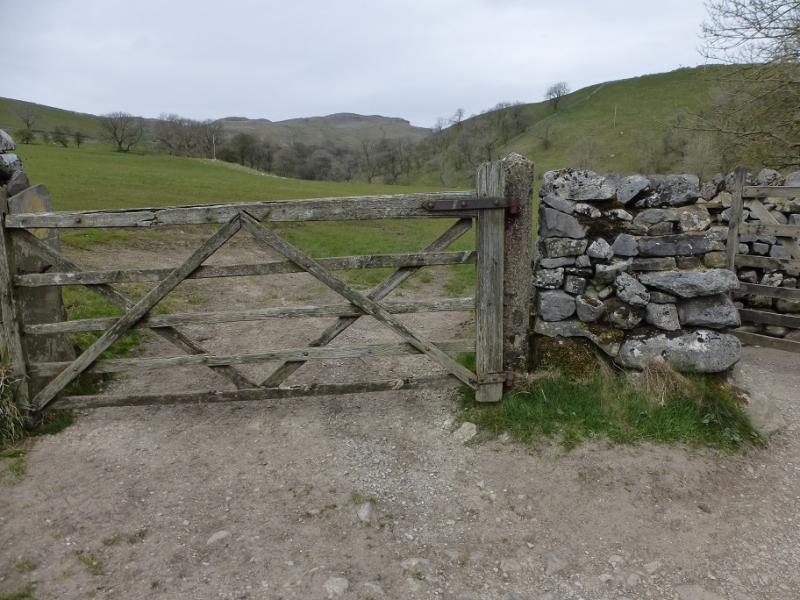
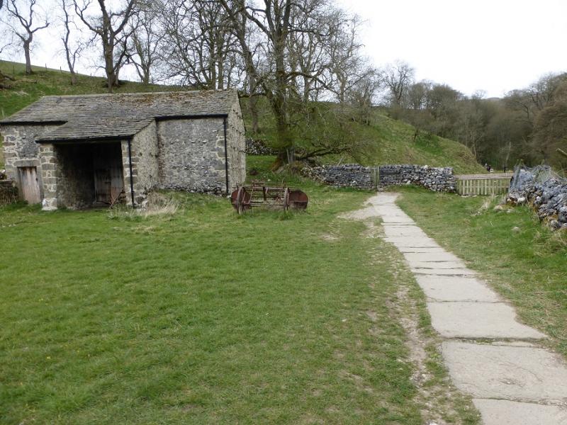
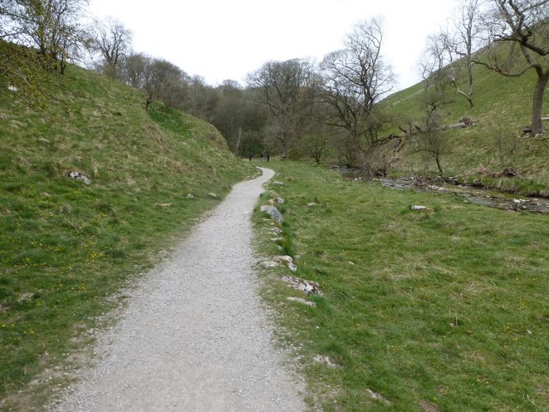
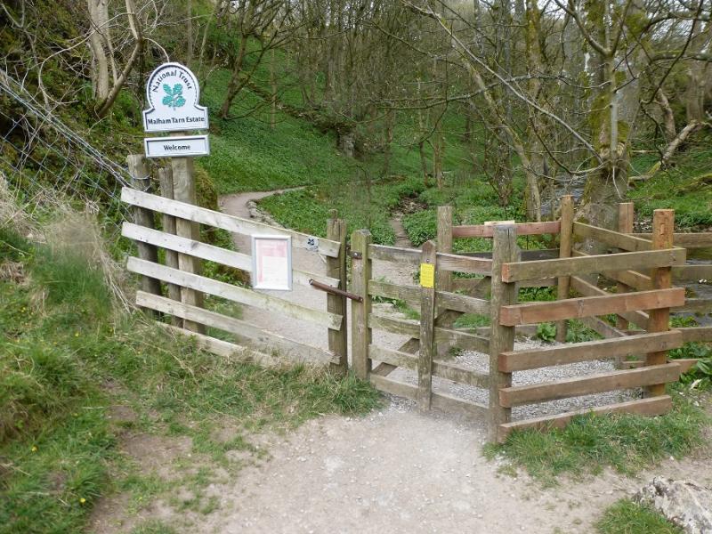
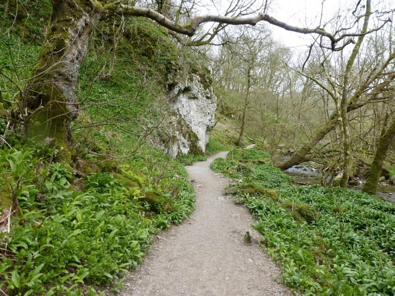
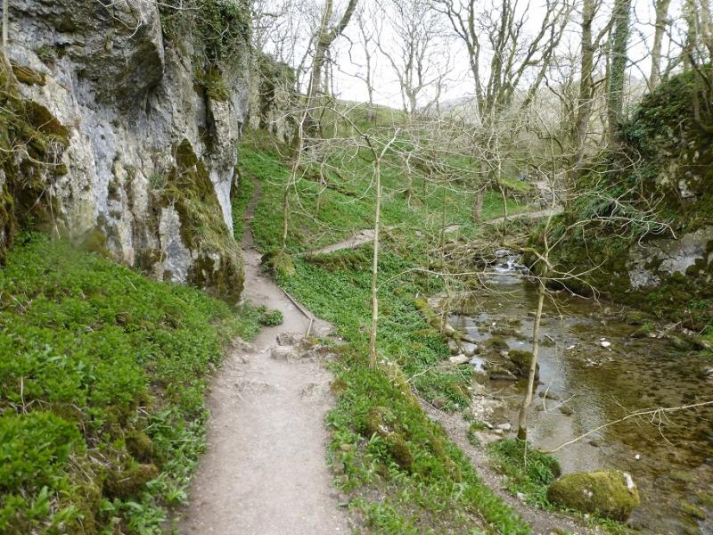
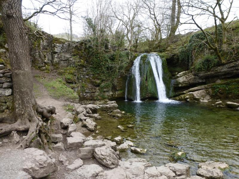
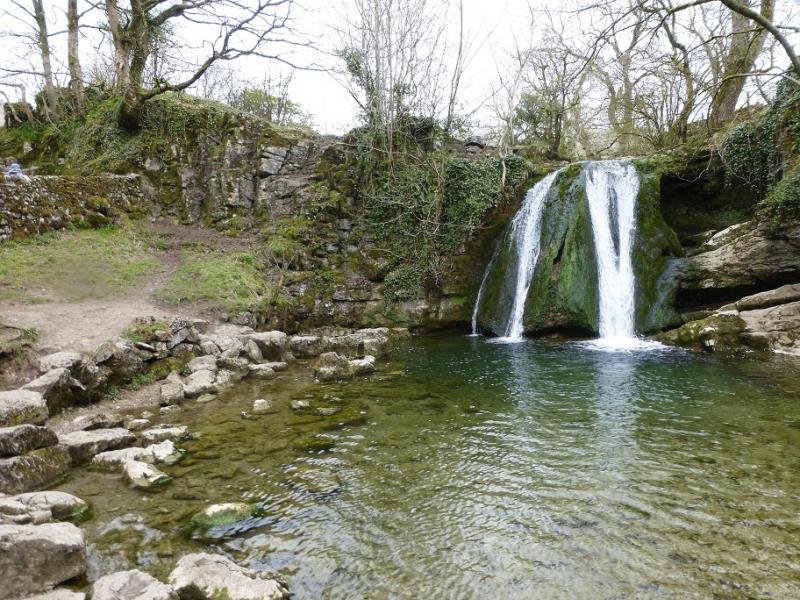
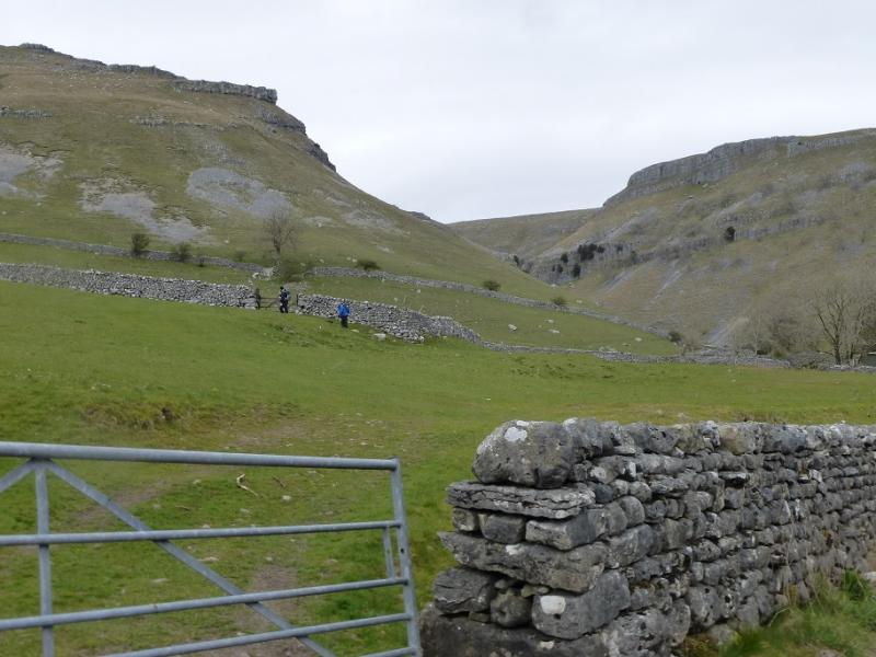
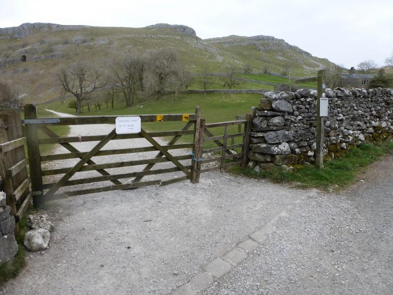
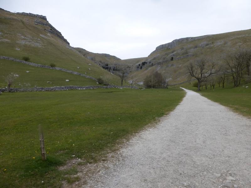
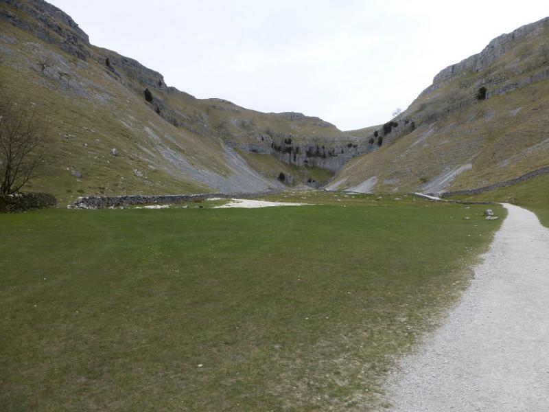
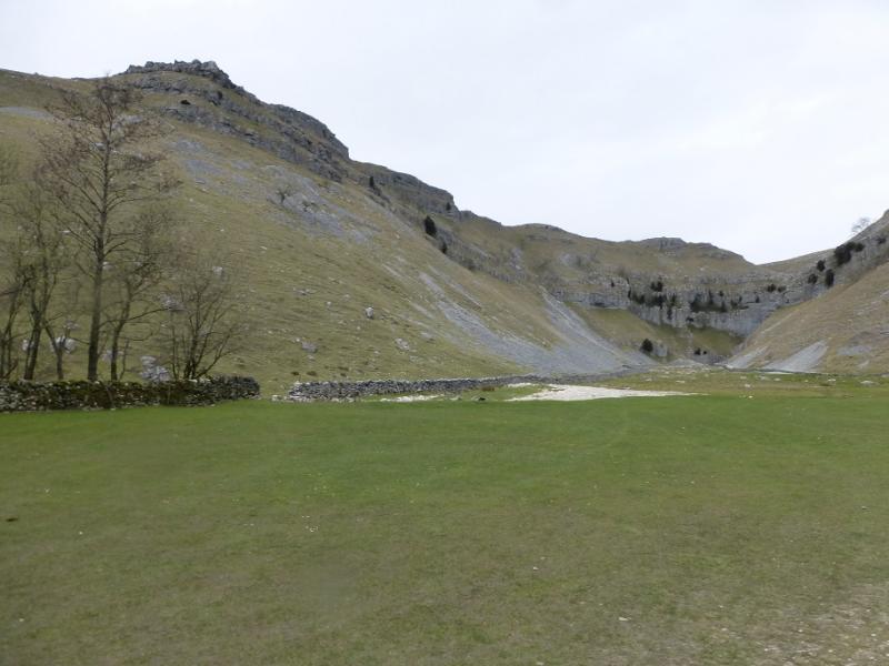
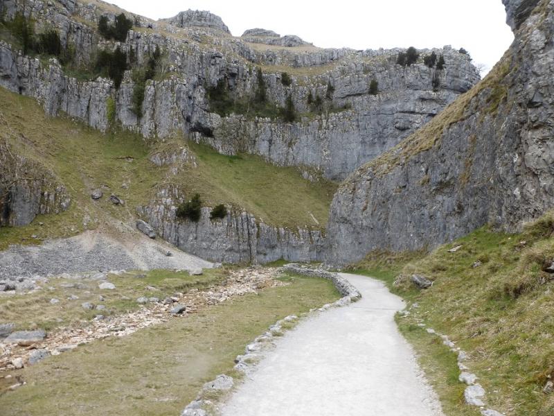
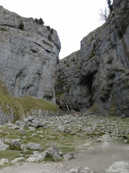
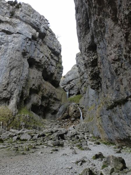
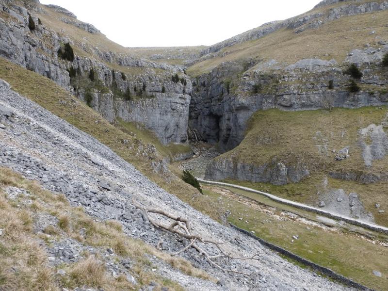
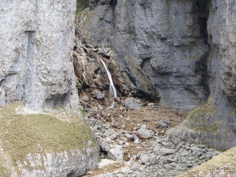
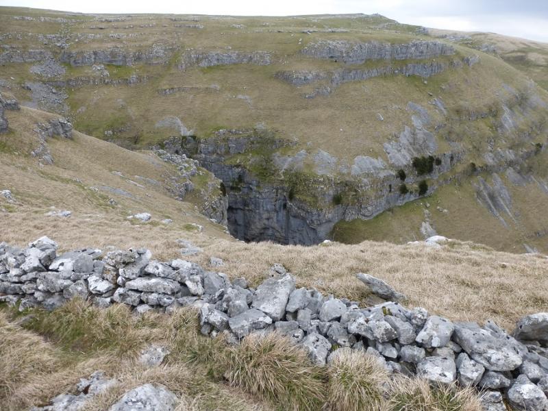
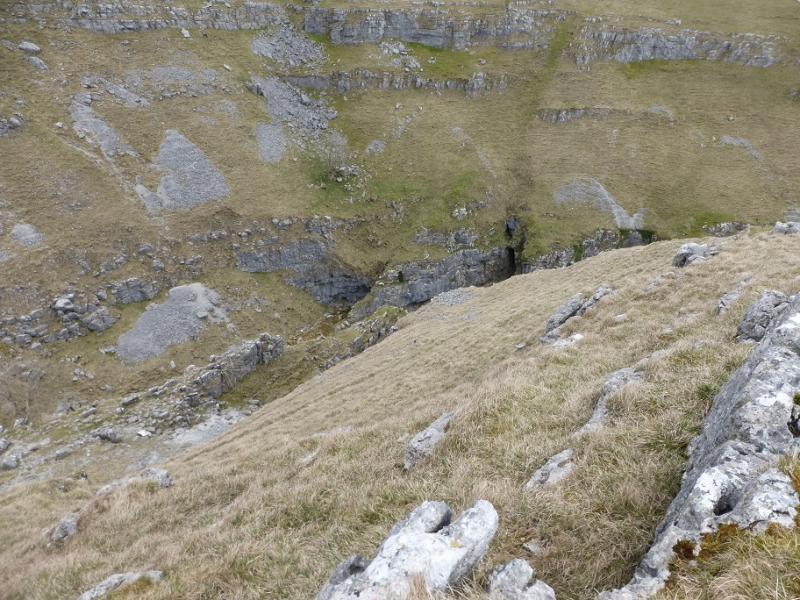
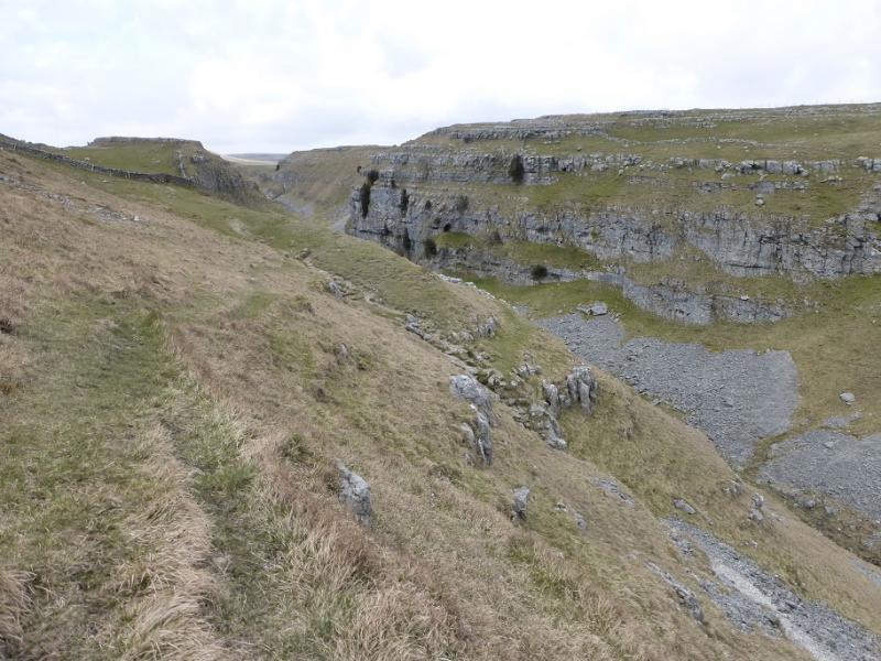
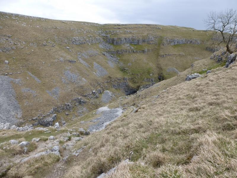
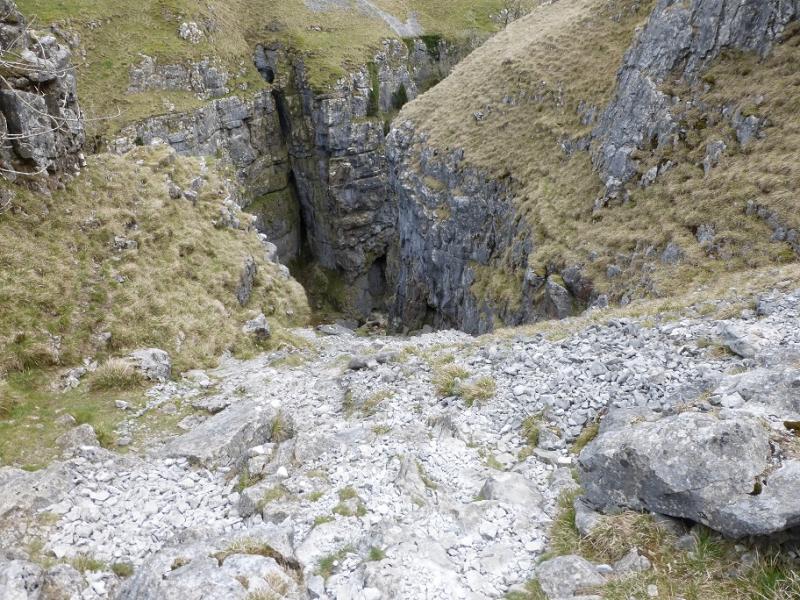
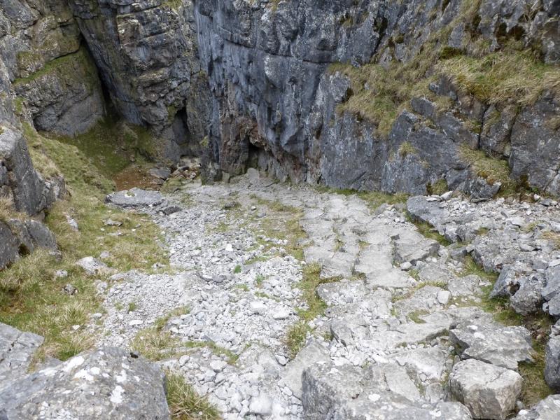
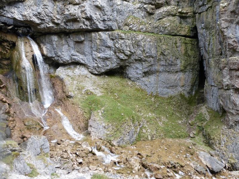
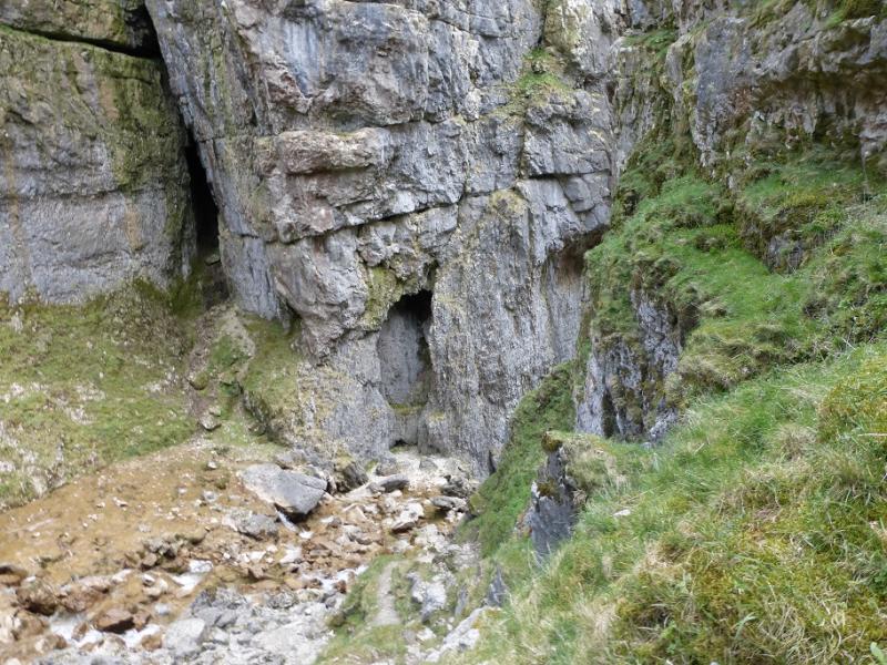
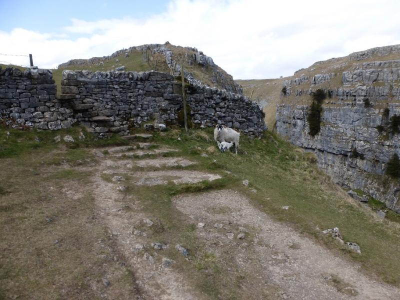
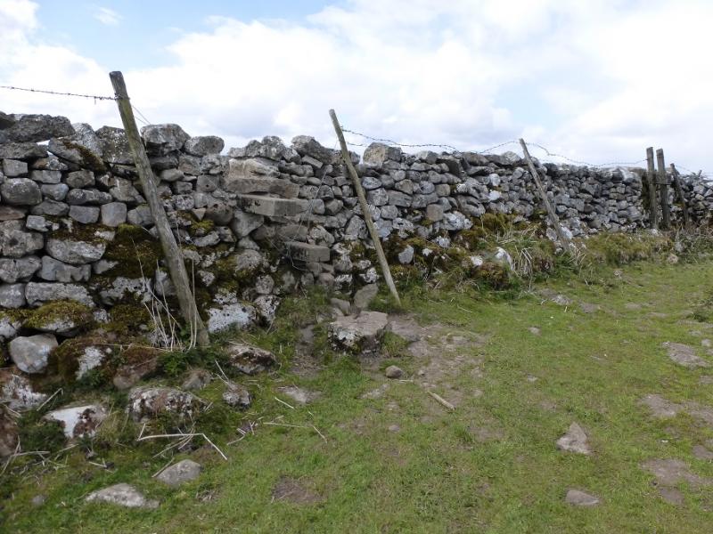
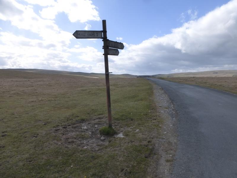
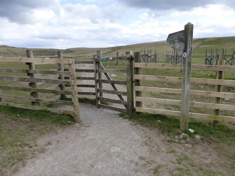
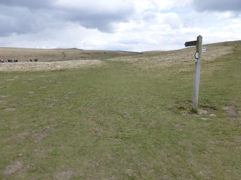
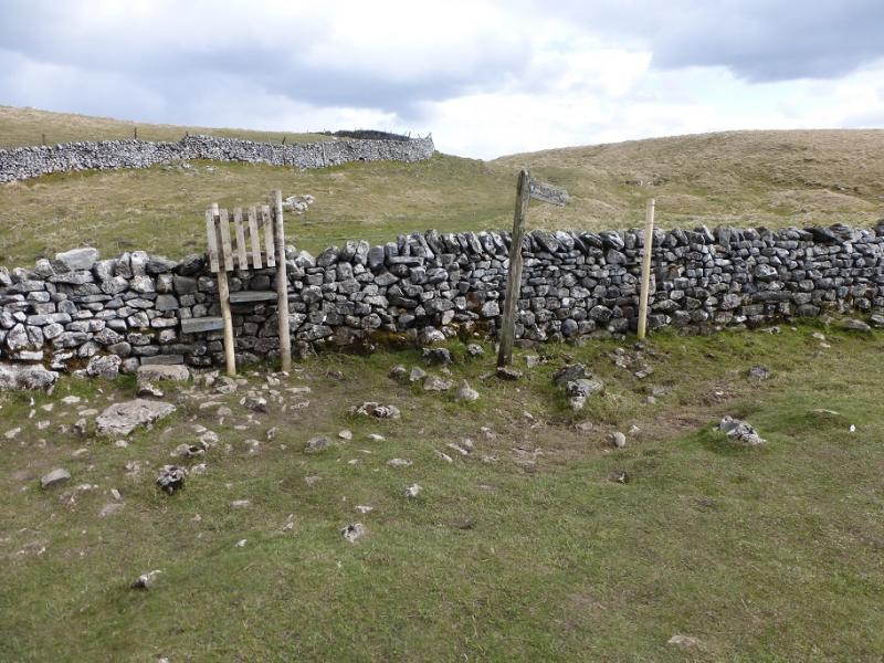
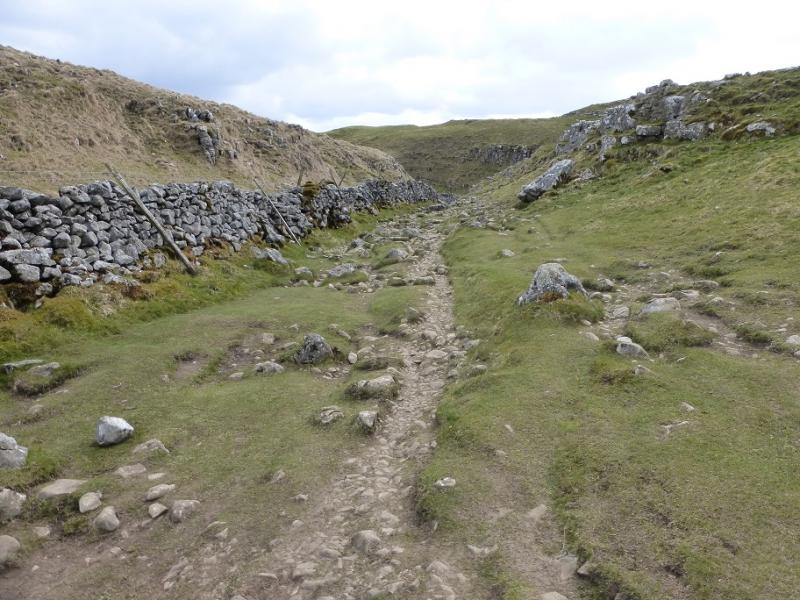
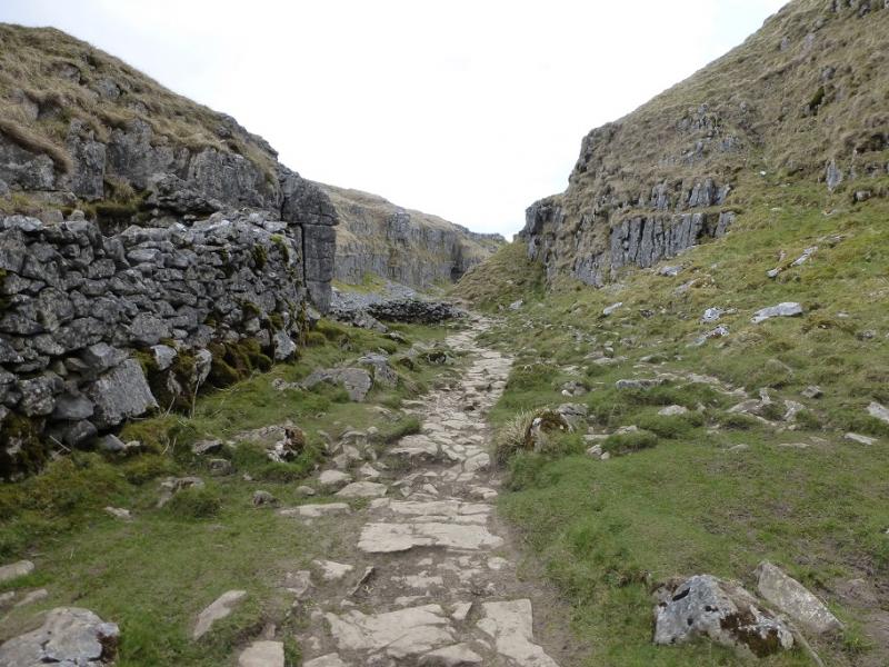
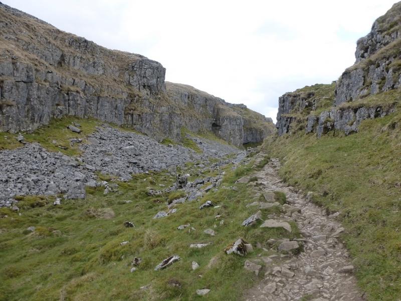
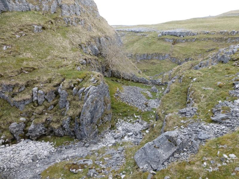
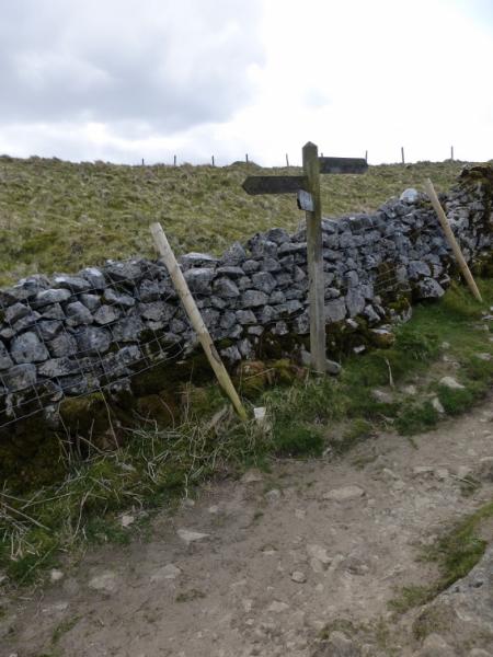
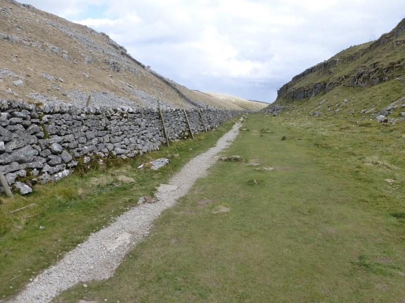
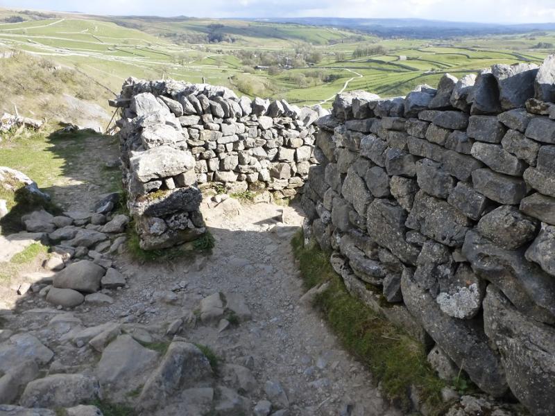
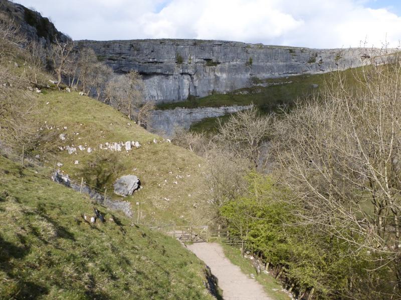
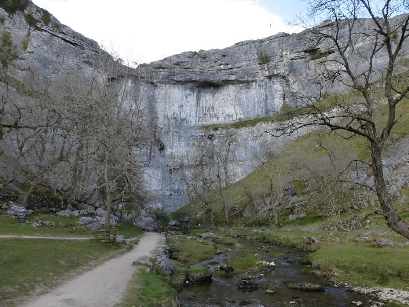
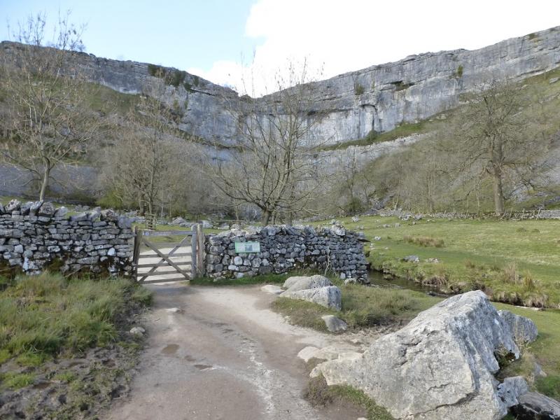
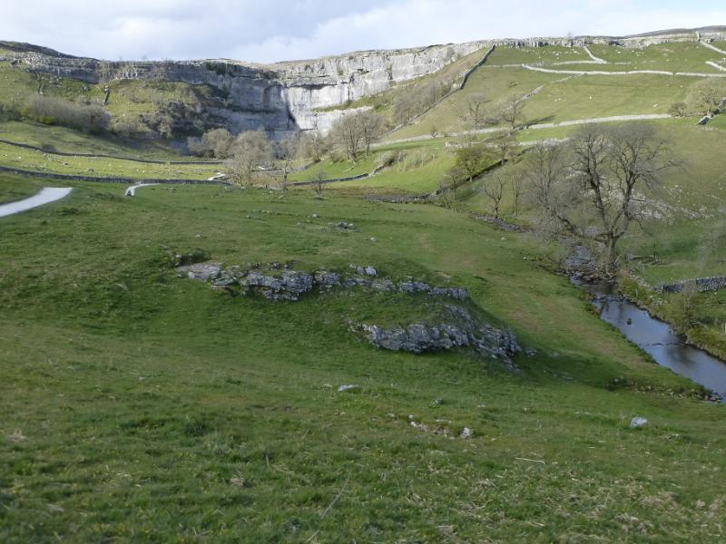
(1) From the National Park Centre, follow the road heading into the village. Note the river across the road which has to be crossed. In a dry spell it can be walked across to access the path on its far side otherwise use the bridge a little further upstream. Follow the well made path all the way to Janet's Foss which is a small waterfall. Continue and soon reach the minor road. Turn right and soon reach a gate giving access to the path to Gordale Scar which is, essentially, a limestone gorge with steep cliffs either side. The path leads to the foot of a small waterfall which is a serious obstacle and very serious when wet. It is possible to scramble up it when it is dry with the best line probably being in the middle. Once above this waterfall, the going is just a walk and a path, with old steps, leads up and out to the left. If the scramble is not for you then retreat slightly and follow a very steep path up the grass and scree on the W side of the gorge. In wet weather, this will be very slippery. Under snow, ice axe and crampons may be needed. The path is faint in places but leads up on to the top of the gorge where one can go N then find the path down, losing much height, to the top of the waterfall. This climb down has to be reversed. Follow the path out of the gorge from the top of the waterfall to reach a broad grassy area then follow the grassy path NW to reach a corner where a stile gives access to a minor road. This is Street Gate and there is an information sign.
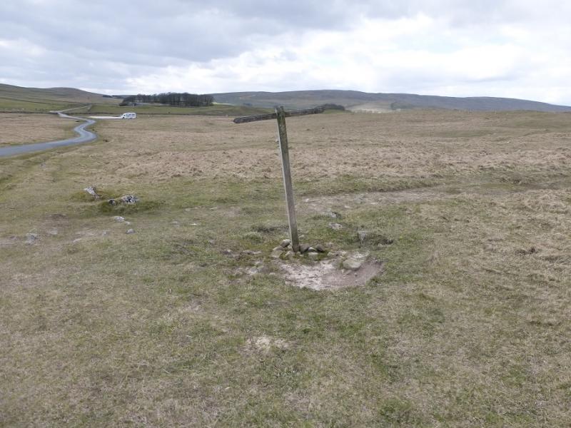
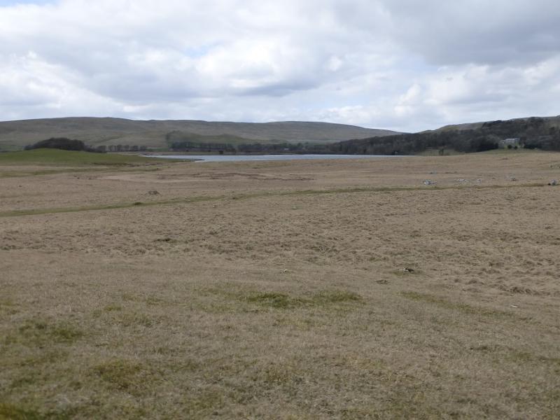
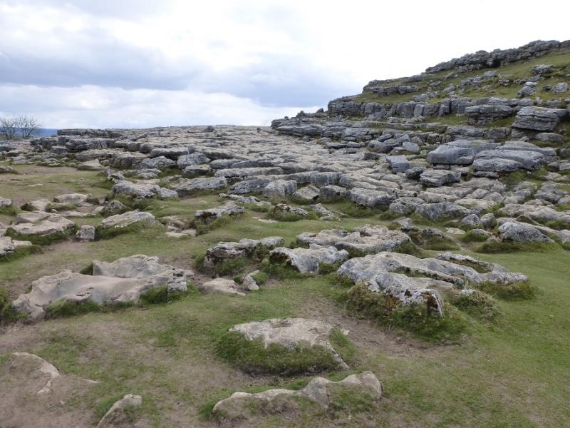
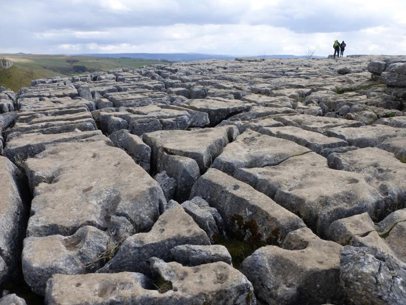
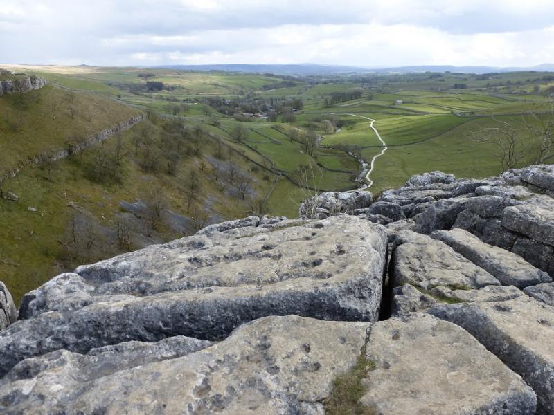
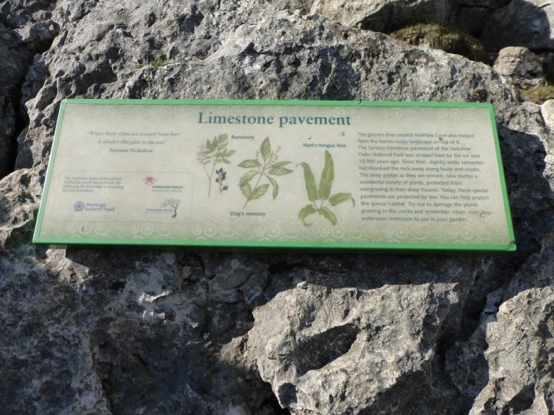
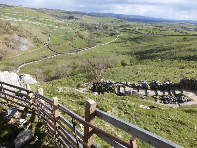
(2) Follow the road W for about 1 km to cross Malham Beck just after a car park. Soon after, a sign points on to a path towards Malham Cove. Follow the well signed path below Comb Hill then through Watlowes valley to reach a limestone pavement above Malham Cove. Cross the pavement to reach a wall where the descent path starts going left. Follow this down to the valley floor then follow it to the road and walk down the road back to the National Park centre.
Notes
(a) This walk took place on 25th April, 2016.
Photos - Hover over photo for caption. Click on to enlarge. Click on again to reduce.