Get Lost Mountaineering
You are here: Scotland » 00 Galloway and the Borders » Manor & Moffat Hills
Nether Coomb Craig, Hart Fell & Under Saddle Yoke from Blackshope
Nether Coomb Craig, Hart Fell & Under Saddle Yoke
from Blackshope
Start/Finish
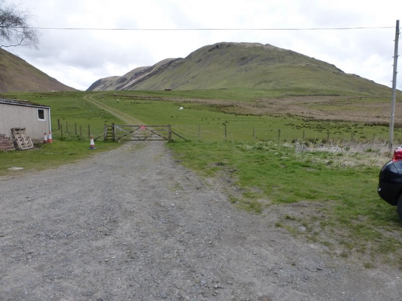
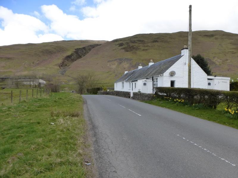
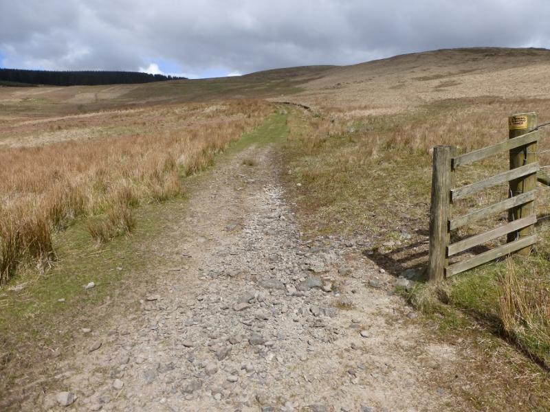
Rough parking area immediately to E of Blackshope Cottage on A708 road from Moffat to Selkirk. The cottage is about 6 miles from Moffat and just after the bridge over the Blackhope Burn. Park sensibly leaving easy access to the cottage's garage and to the gate up the Blackhope Valley.
Distance/Time
15 km. About 5 – 6 hours.
Peaks
Nether Coomb Craig, 724 m, NT 129 109.
Swatte Fell, 729 m, NT 120 115.
Falcon Craig, 724 m, NT 122 127.
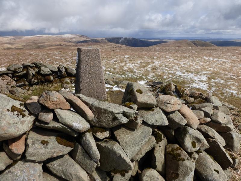
Hart Fell, 808 m, NT 113 135.
Under Saddle Yoke, 745 m, NT 142 126.
Saddle Yoke, 735 m, NT 144 123. OL Explorer 330: Moffat & St. Mary's Loch
Introduction
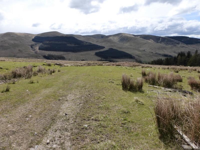
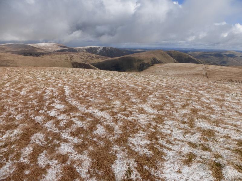
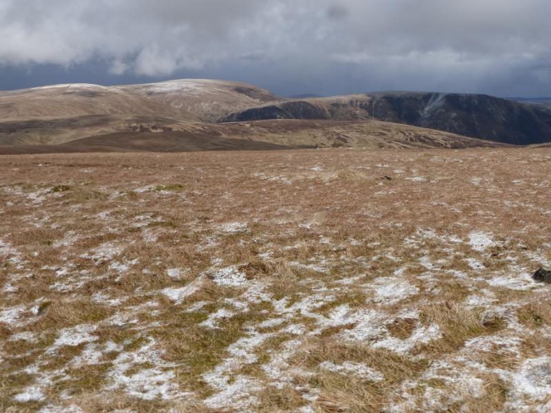
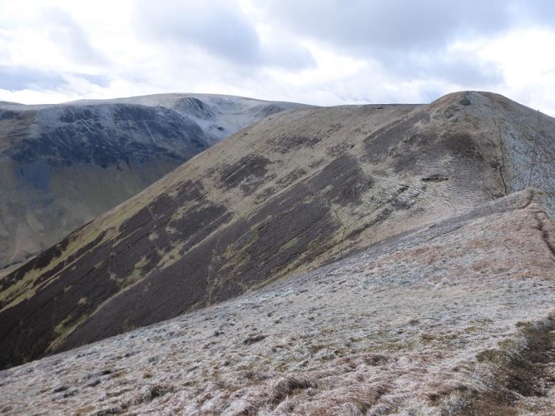
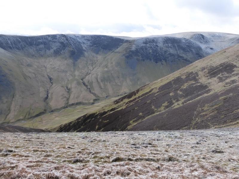
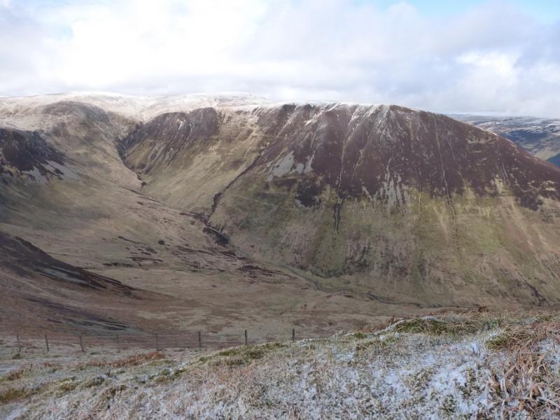
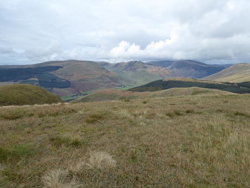
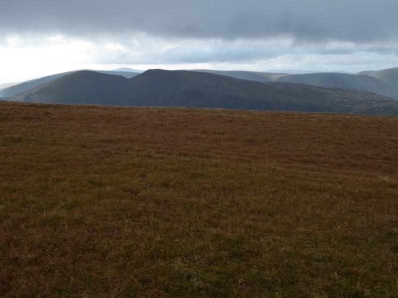
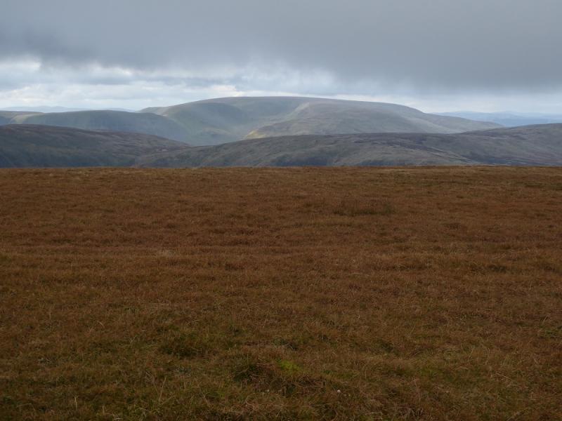
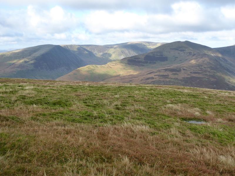
This is a strenuous walk around the Black Hope Valley with a steep ascent at the beginning and end. There are excellent views to other hills especially White Coomb and Carrifan Gans to the east and the Ettrick Hills across the A708. There seems to be some doubt as to where the highest point on Swatte Fell actually is. On some maps the name Nether Coomb Craig is some distance from the summit. This route was walked many years ago starting up the side of Hang Gill. On this occasion, a track was followed SSW from Capplegill but it did not save any time so best to slog up the side of Hang Gill! Note that many of the fences have signs on them saying they are electrified so aim to cross them at gates and stiles.
Route
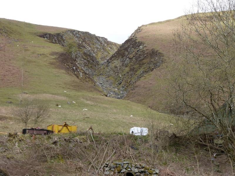
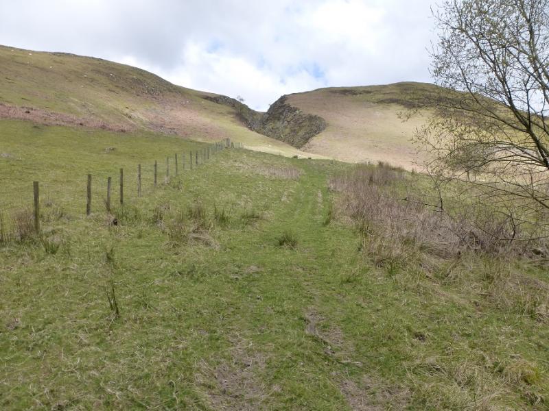
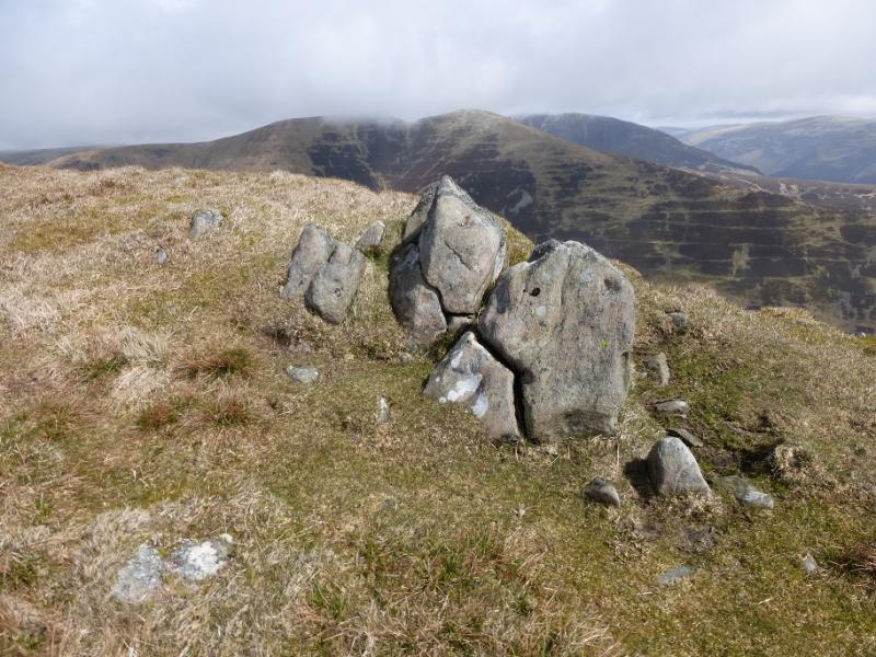
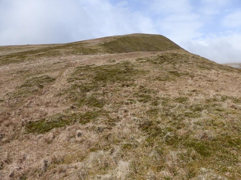
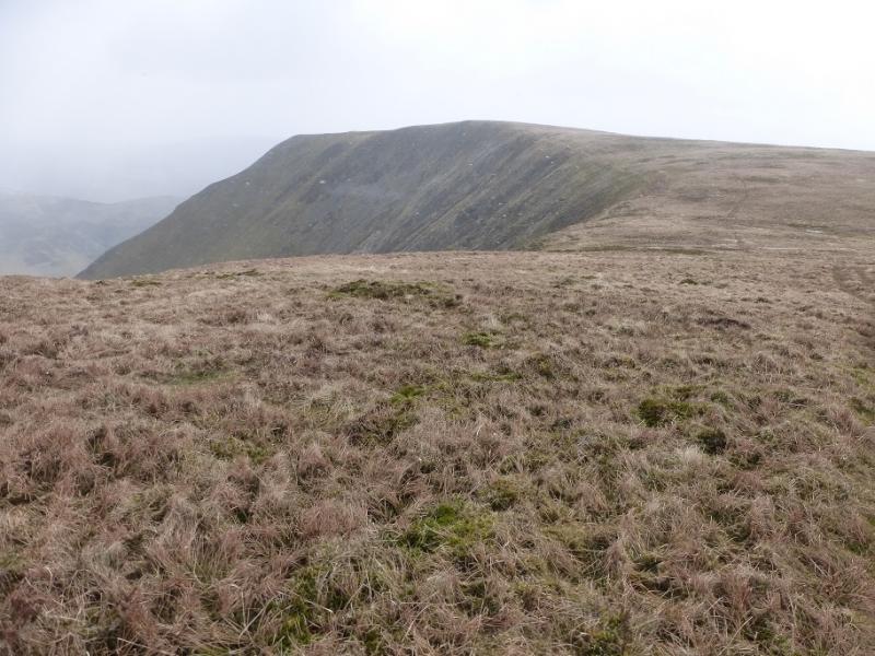
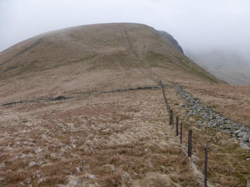
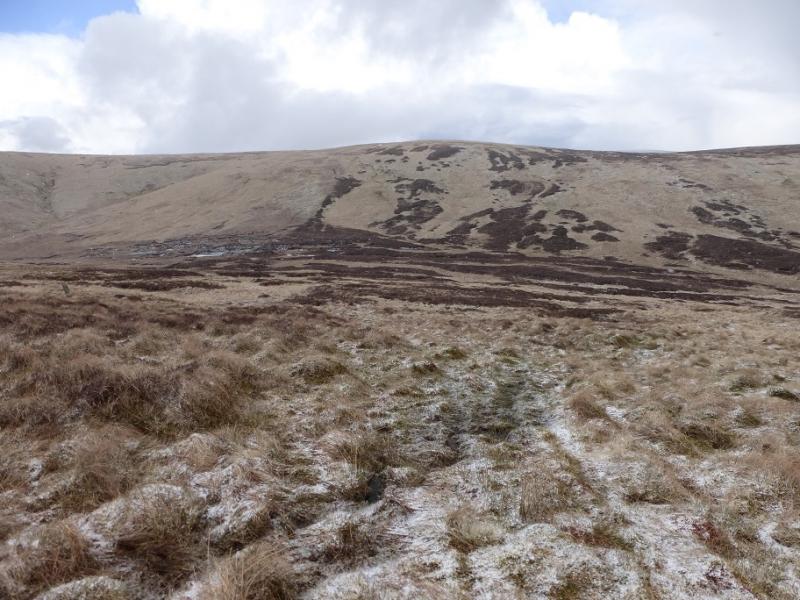
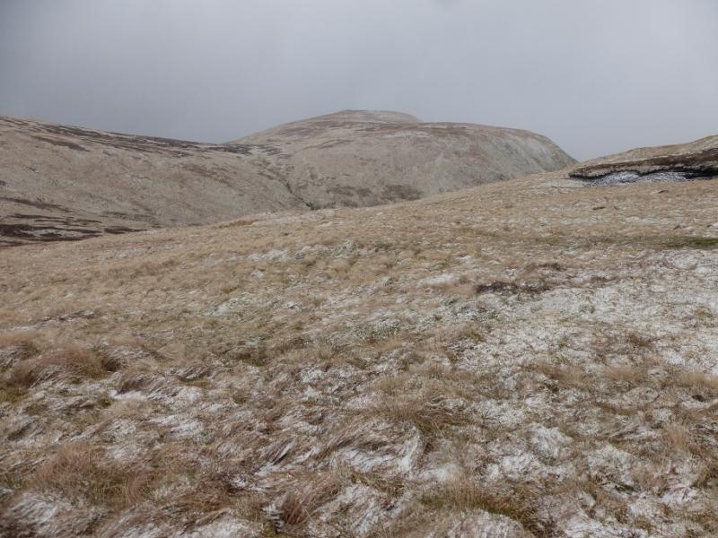
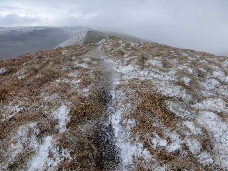
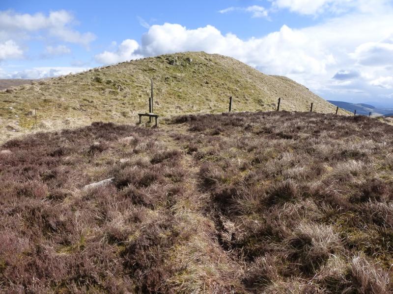
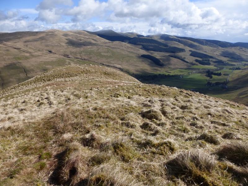
(1) Walk about 400 m along the road back towards Moffat to reach the reverse right fork going to the barn at Capplegill with Hang Gill looming above. Ignore the track (referred to above) which soon goes left through a gate and go straight up the side of Hang Gill (looks like a sloping rocky gorge) – there now seems to be a path on each side with the one by the fence looking more obvious these days. Go up the side of the gill then drift right to find a faint path which leads up the broad ridge to reach, after a few shoulders, the small cairn which marks the summit of Nether Coomb Craig, 724 m.
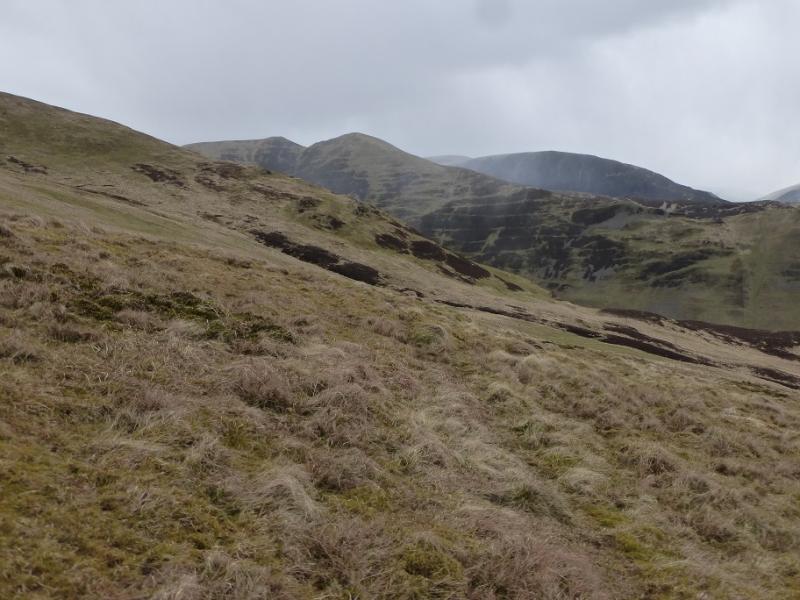
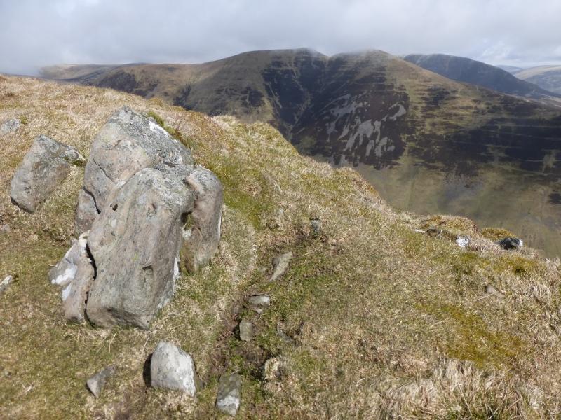
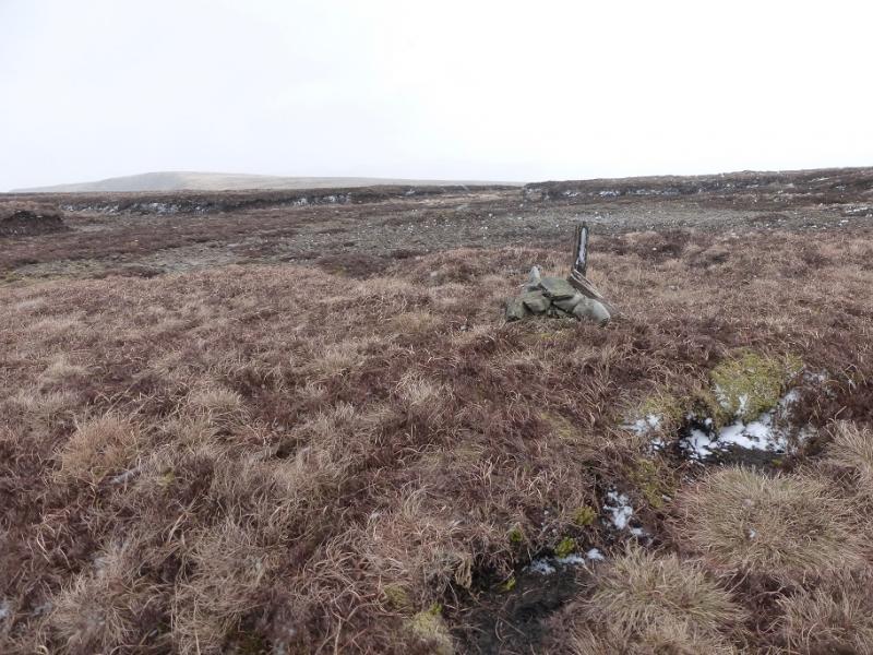
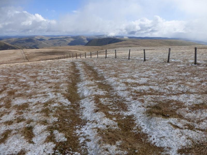
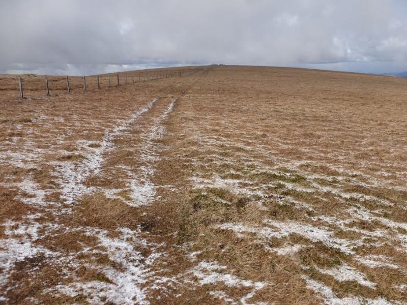
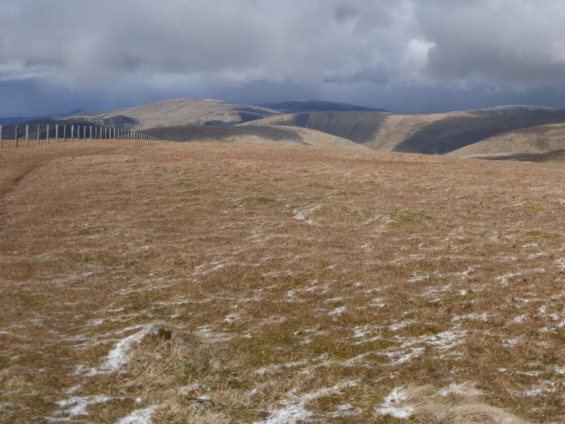
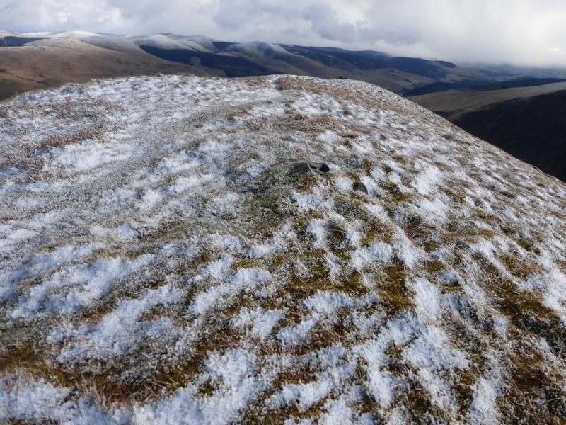
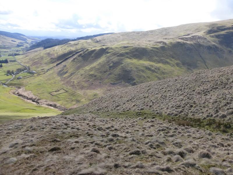
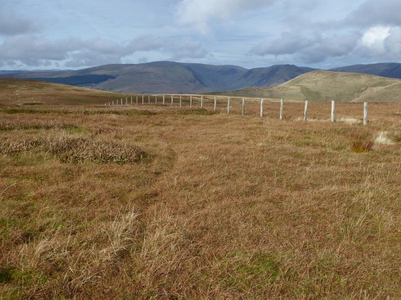
(2) Not far from here is a fence which actually goes all the way to the summit of Hart Fell which helps in mist. It is more interesting, though, to follow the edge where there is a path; an ATV track tends to follow the fence. On the next top there is no cairn but walking roughly NW from here towards the fence should result in a small cairn being passed in a dry peaty area. Continue to a gate in the fence which has a broken wall running close to it. Cross the fence and head SW following the fence as a slightly higher point may be in this area but nothing is marked; don't walk more than about 400 m. One of these is the summit of Swatte Fell, 729 m. Sooner or later, the OS will sort it all out!
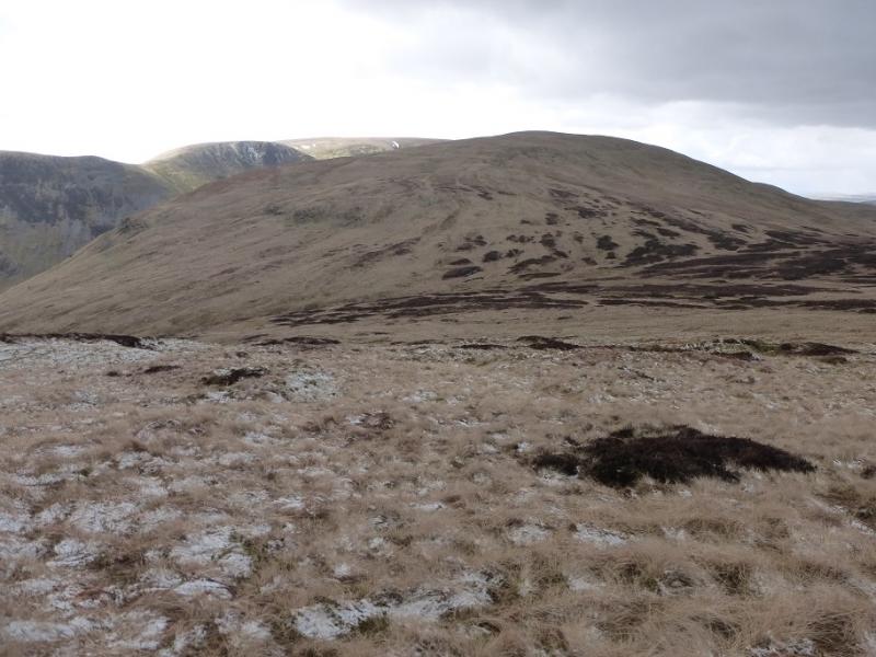
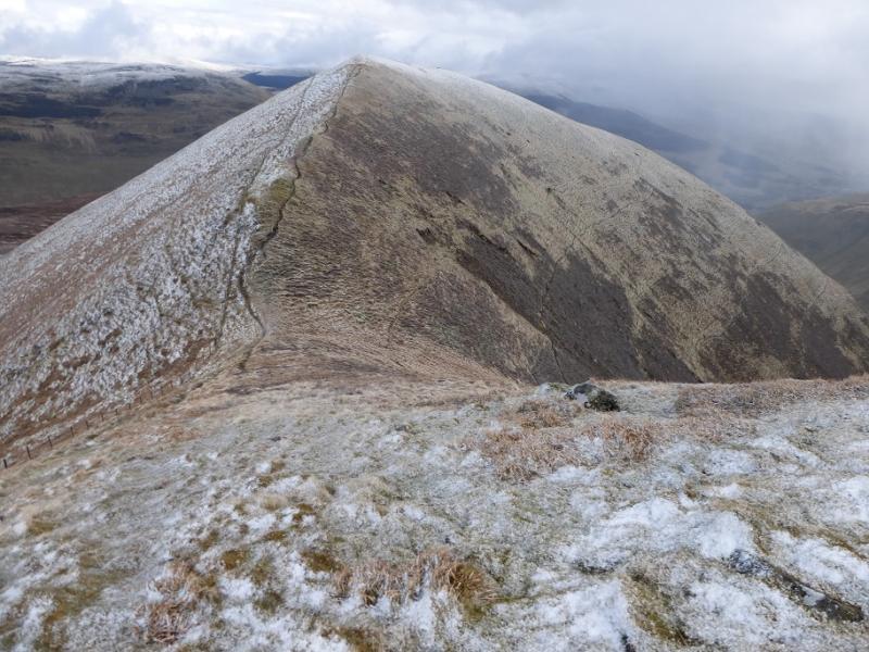
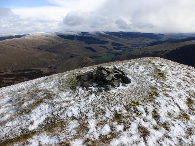
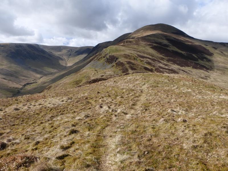
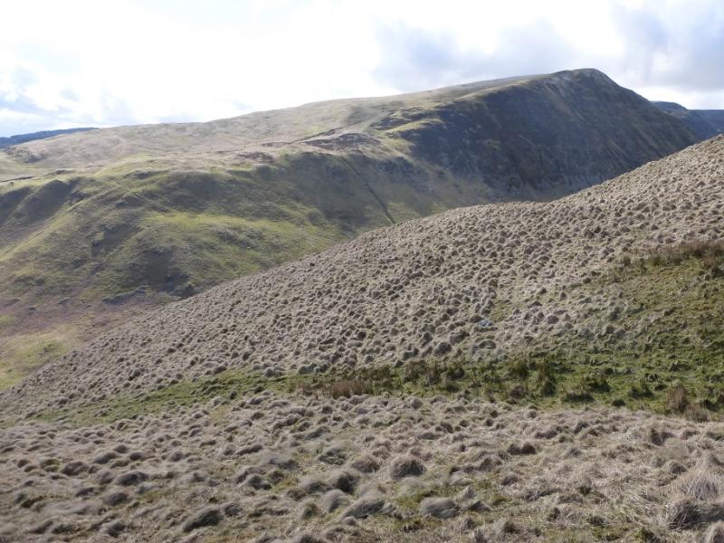
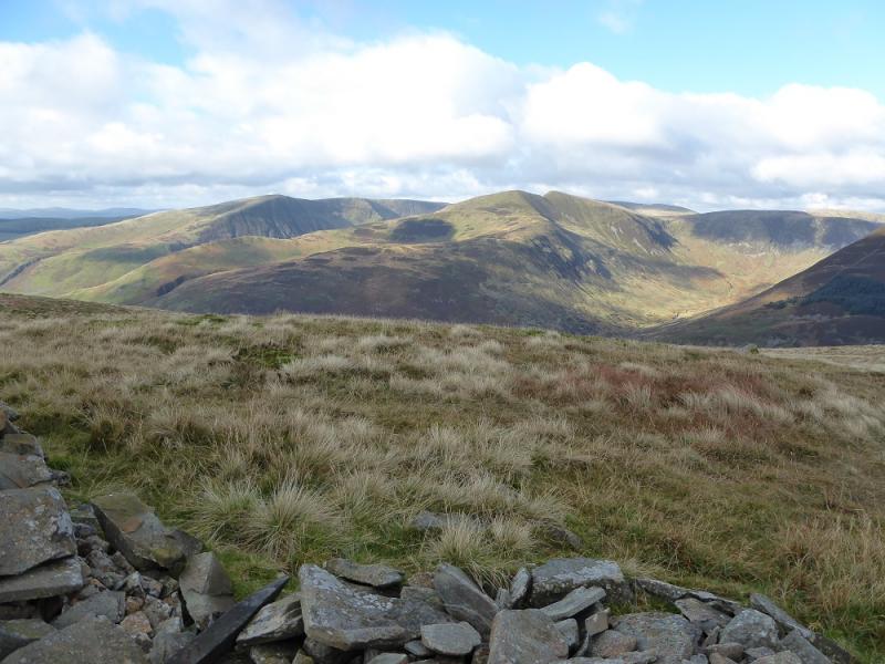
(3) Return to the fence but do not cross it. Instead continue to follow it down then up to the next top where a small cairn marks the summit of Falcon Craig, 724 m.
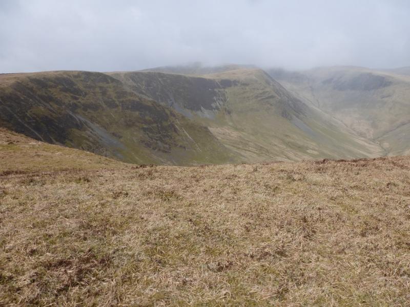
(4) Continue following the fence down into a col and cross the fence then follow an ATV track up the, initially, steep SE ridge of Hart Fell. Higher up the angle eases and soon the trig point, in a shelter cairn, is reached which is the summit of Hart Fell, 808 m.
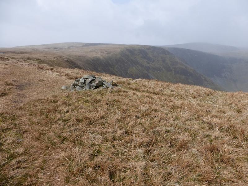
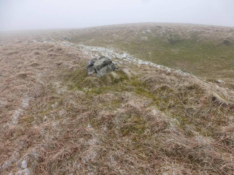
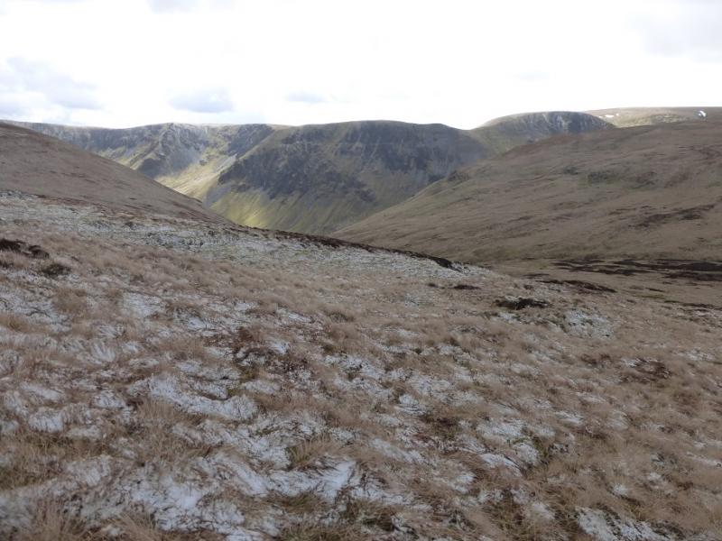
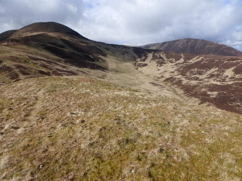
(5) Follow the fence going right, NE, ENE then ESE, over Hartfell Rig then down towards a peaty and boggy col. Avoid this on its S side then make a gently rising traverse, roughly SSE, to reach the foot of the N ridge of Under Saddle Yoke. Pick a way up, drifting right to find a good path which can be followed up to the summit where there is no cairn but this is Under Saddle Yoke, 745 m.
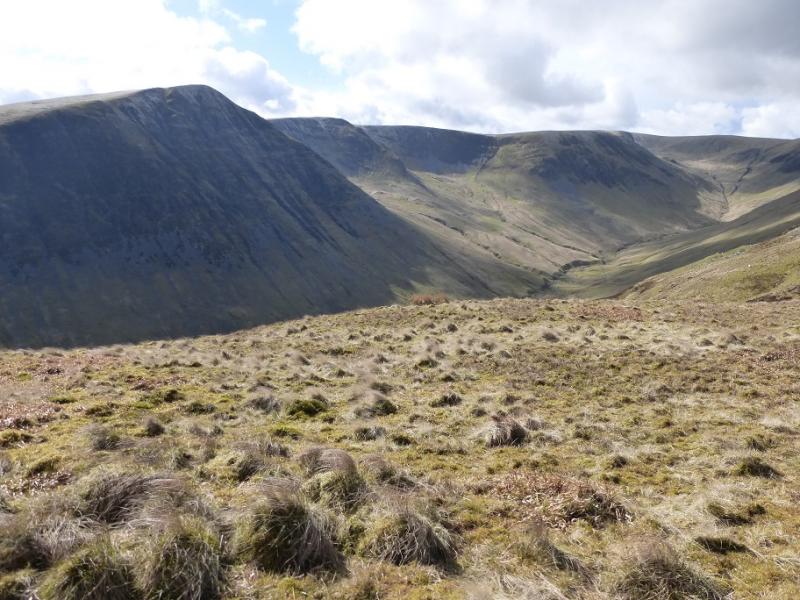
(6) Make the short descent into a very well defined col then the short ascent to the highest point of Saddle Yoke, 735 m, where there is also no cairn.
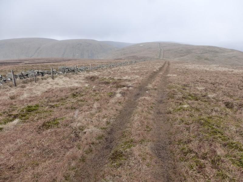
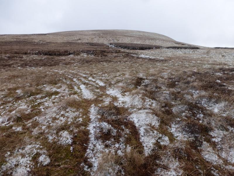
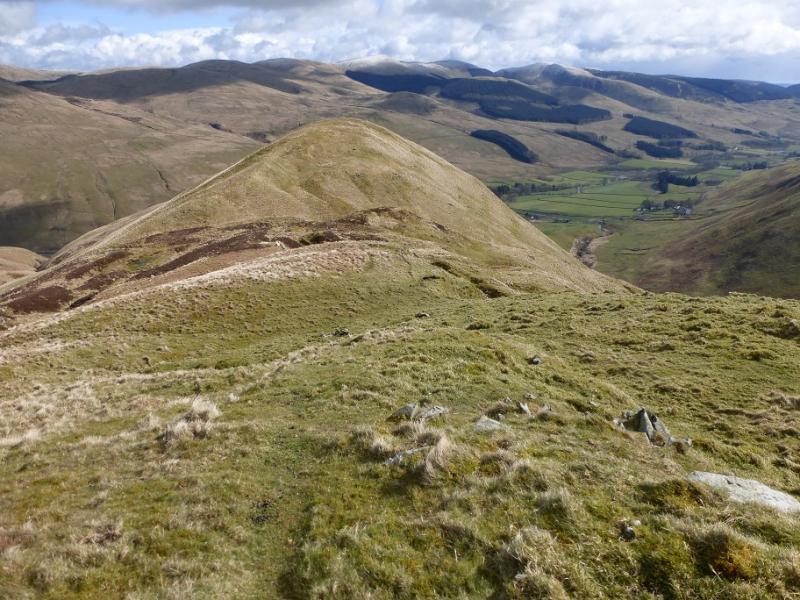
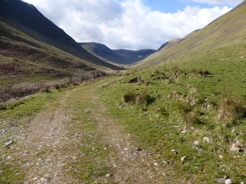
(7) Follow the path down the well defined S ridge over a few shoulders. Cross a stile and ascend to the last top on the ridge. Descend down the nose, still on the path. Lower down, this steepens and will be slippery when wet. When almost down, a wall will be seen ahead so drift right to pick up the valley track before the obvious gate. Follow the track back to the start.
Notes
(a) This walk took place on 26th April, 2016, and about 15 years earlier.
Photos - Hover over photo for caption. Click on to enlarge. Click on again to reduce.