Get Lost Mountaineering
You are here: Scotland » 03 North-west Argyll, Appin and Glencoe » Ben Cruachan to Bridge of Orchy & Tyndrum
Meall Tairbh & Ben Inverveigh
Meall Tairbh & Ben Inverveigh from Inveroran Hotel
Start/Finish
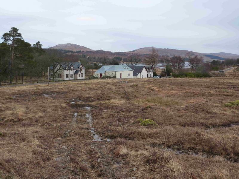
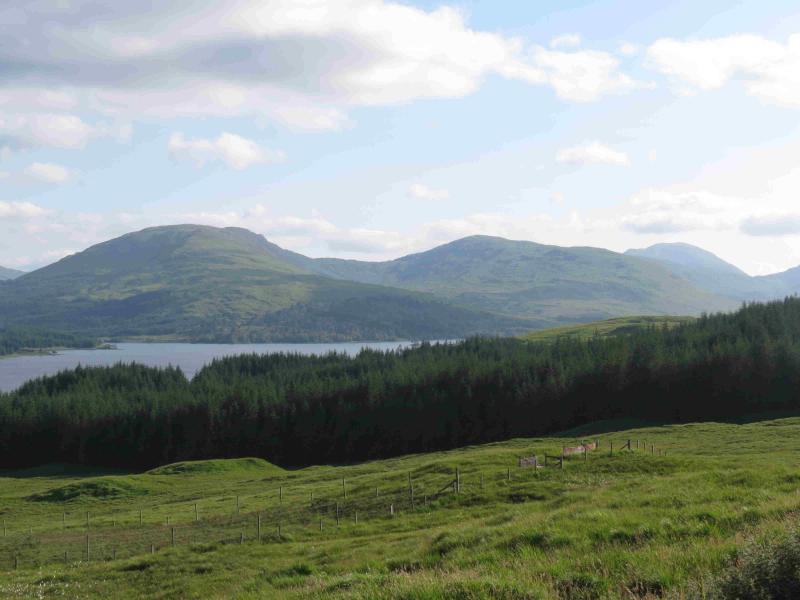
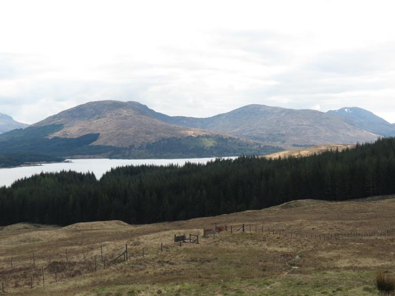
Inveroran Hotel which lies on the A8005 minor road to Forest Lodge and Victoria Bridge. This road leaves the A82, Crianlarich to Fort William road at the Bridge of Orchy Hotel. The Inveroran Hotel is just under 3 miles along this road and cannot be missed. There is plenty of parking nearby as the West Highland Way meets the road just before the hotel.
Distance/Time
13 km Approx 4½ hours.
Peaks
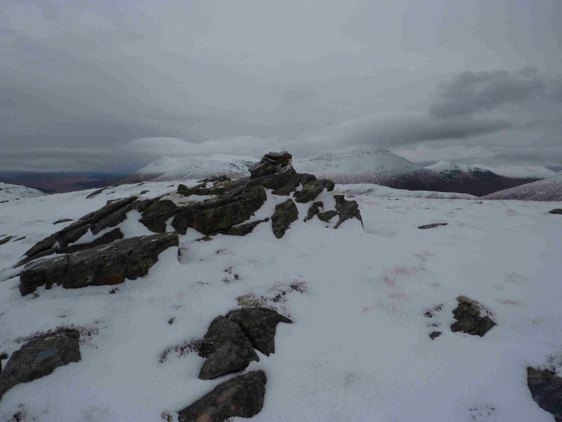
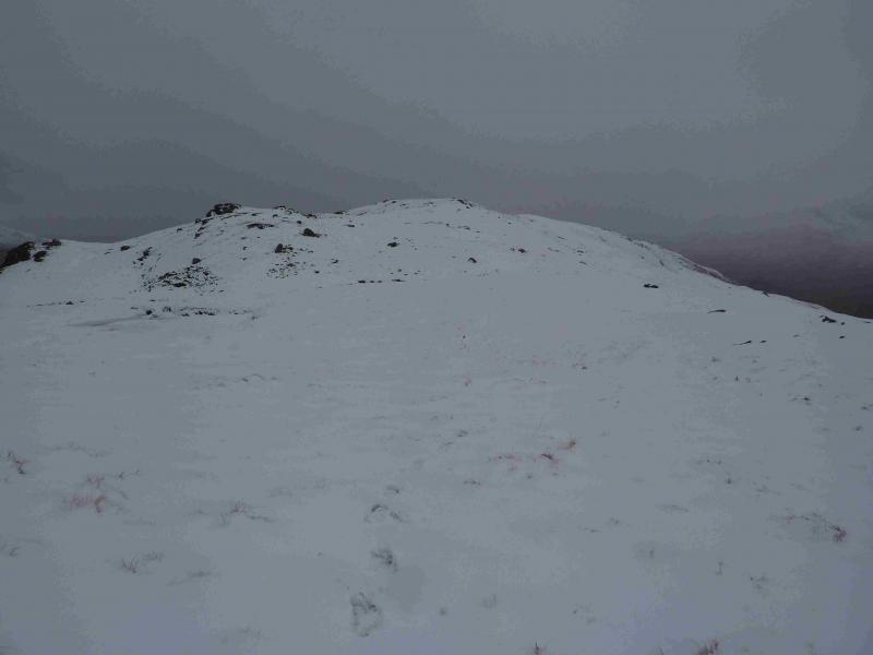
Meall Tairbh, 664 m, NN 251 375.
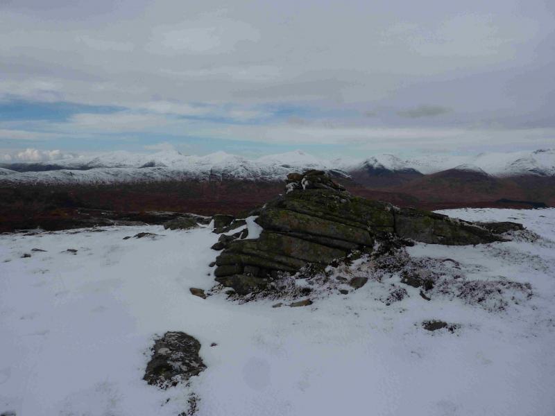
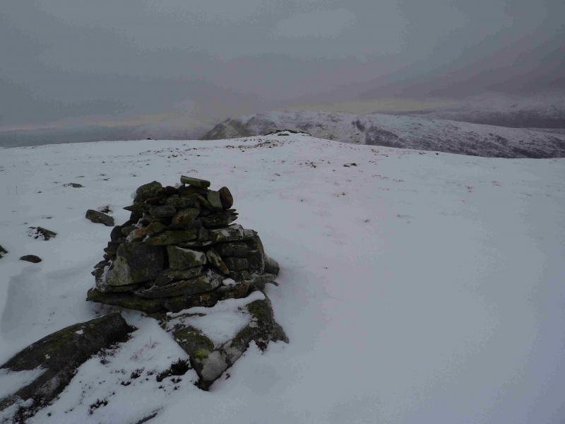
Ben Inverveigh, 636 m, NN271 381. OS sheet 50.
Introduction
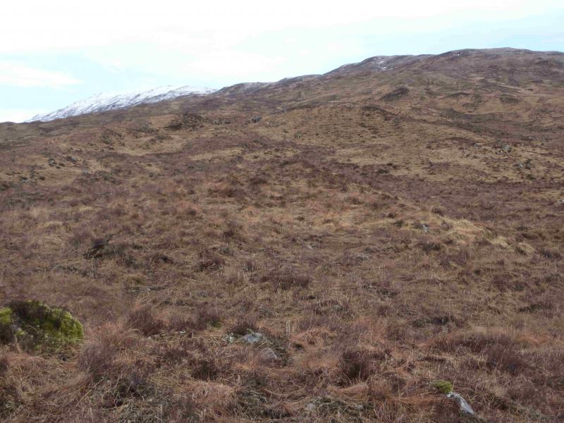
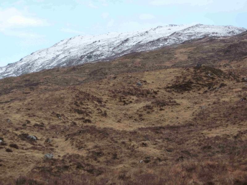
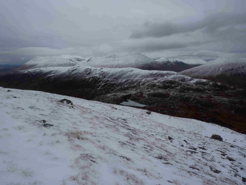
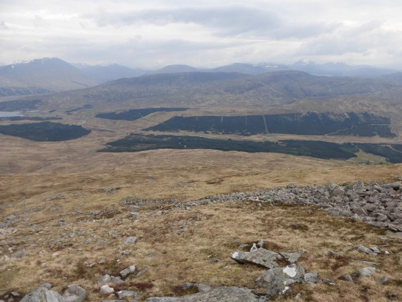
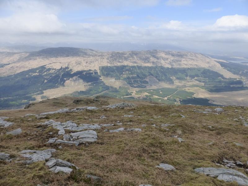
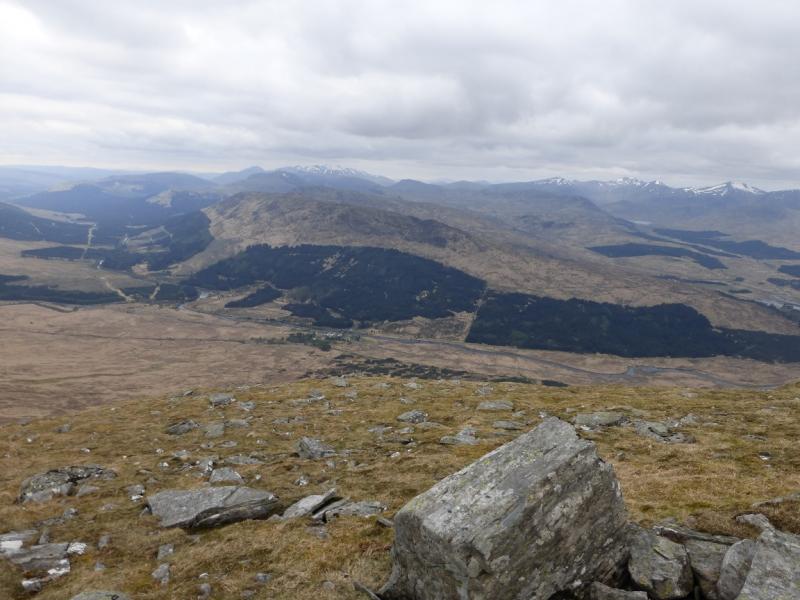
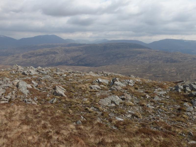
This is a rough moorland horseshoe. Both hills are over 2000 feet but only Meall Tairbh counts as a Graham as Ben Inverveigh is just under 10 m short of the relative height needed. The hills are reasonably attractive but their views are even better. There is a magnificent panaorama from Stob Choire Odhar through Stob Gabhar, Meall nan Eun, Stob Coir'an Albannaich, Glas Bheinn Mhor, Beinn nan Aighenan, Ben Starav, Beinn nan Lus, Meall Garbh, Beinn Eunaich, Beinn a' Chochuill, Ben Cruachan, Beinn Mhic- Mhonaidh, Beinn a' Chleibh, Ben Lui, Beinn Udlaidh, Beinn Bhreac-Liath, Beinn Odhar, Beinn Dorain, Beinn an Dothaidh and more! Save these hills for a good day.
Route
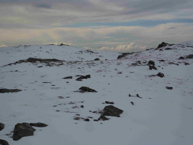
(1) Just past the hotel, towards Victoria Bridge, a rough ATV track leaves the road and starts ascending the lower slopes of Meall Tairbh. Follow this until it leaves the ridge to go up the burn then ascend grassy/heathery slopes SSW until the small cairn which marks the summit of Meall Tairbh, 664 m, is reached.
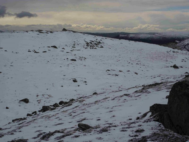
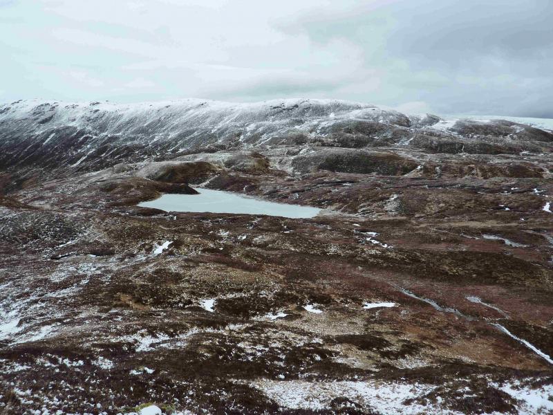
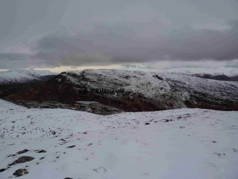
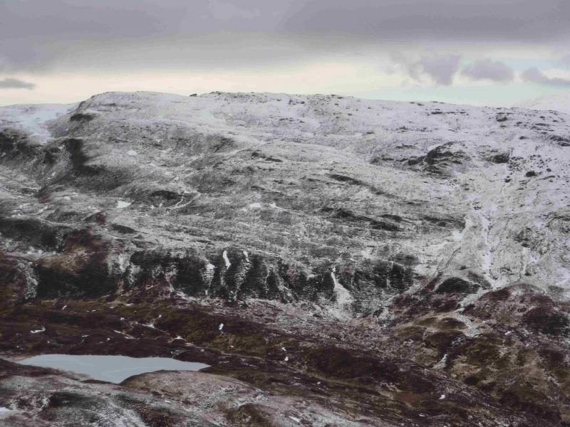
(2) Descend roughly east. In clear weather, one can aim for the obvious Lochan Coir' Orain which sits in the broad and complicated bealach. Continue east to gain the crest of Ben Inverveigh then follow this NE to the small cairn which marks the summit of Ben Inverveigh, 636 m.
(3) Continue NE along the undulating crest for about 3 km to meet the West Highland Way which can be followed NW back to the start. Alternatively, continue along the crest for about 2 km then trend left, down easy slopes, to intercept the West Highland Way nearer to the start.
Notes
(a) This walk took place on 28th October, 2002 and 16th March, 2013.
Photos - Hover over photo for caption. Click on to enlarge. Click on again to reduce.