Get Lost Mountaineering
You are here: Wales » North Wales » Snowdon Range
Snowdon Half Horseshoe from Pen-y-Pass
Snowdon Half Horseshoe from Pen-y-Pass
Start/Finish
Car park at Pen-y-Pass about 8 km S of Llanberis on A 086. Expensive (£10 per day) for cars but should be free for bikes. It is possible to get a mini-bus, called a Sherpa, from Llanberis (and other places) for about £1 per journey. Timetables are freely available from the local Tourist Offices.
Distance/Time
11 km About 6 – 7 hours
Peaks
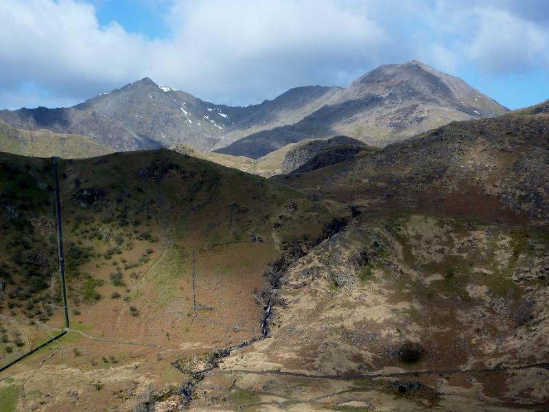
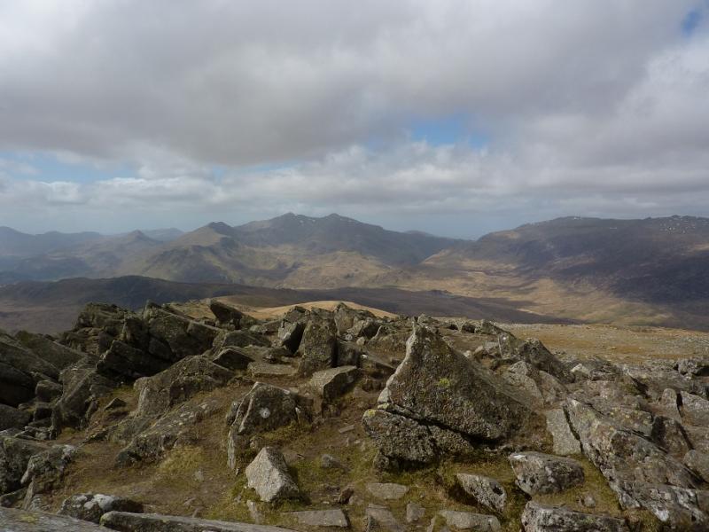
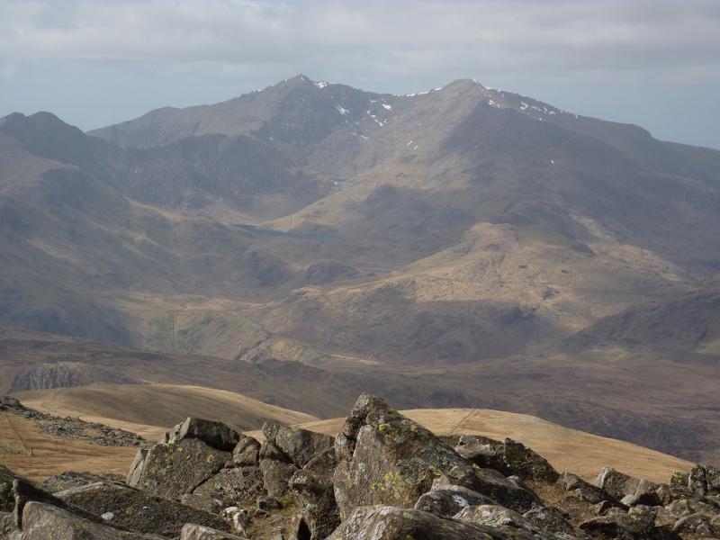
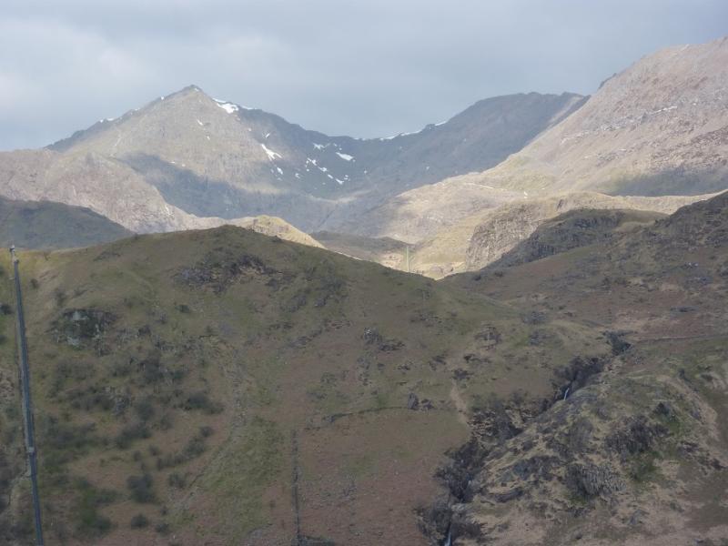
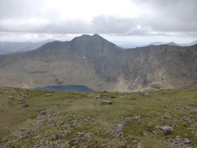
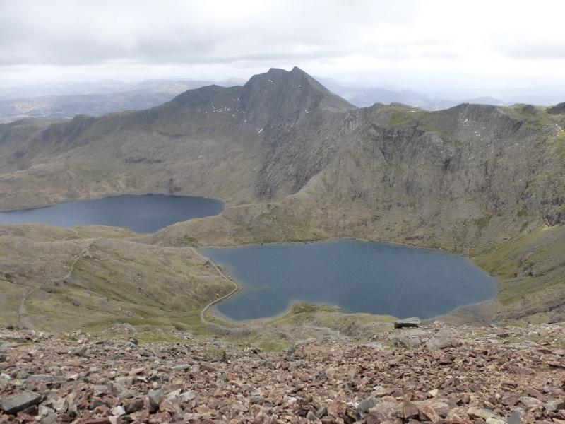
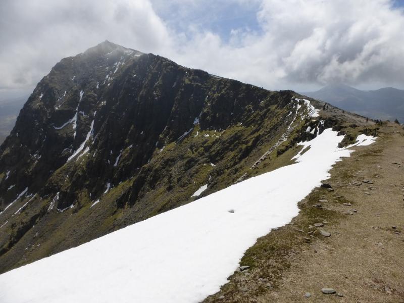
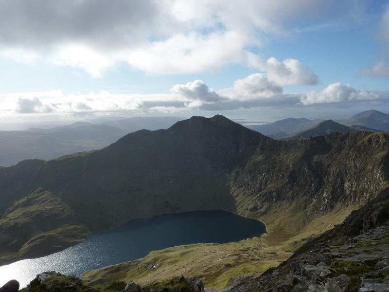
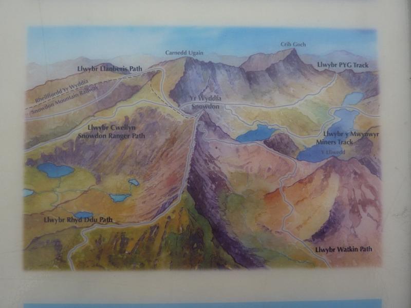
Crib Goch, 923 m, SH 624 551.
Crib-y Ddysgl, 1065 m, SH 610 551.
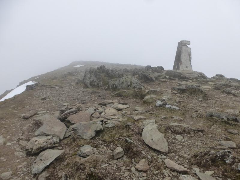
Snowdon (Yr Wyddfa), 1085 m, SH 609 543. OL 17: Snowdonia: Snowdon Area.
Introduction
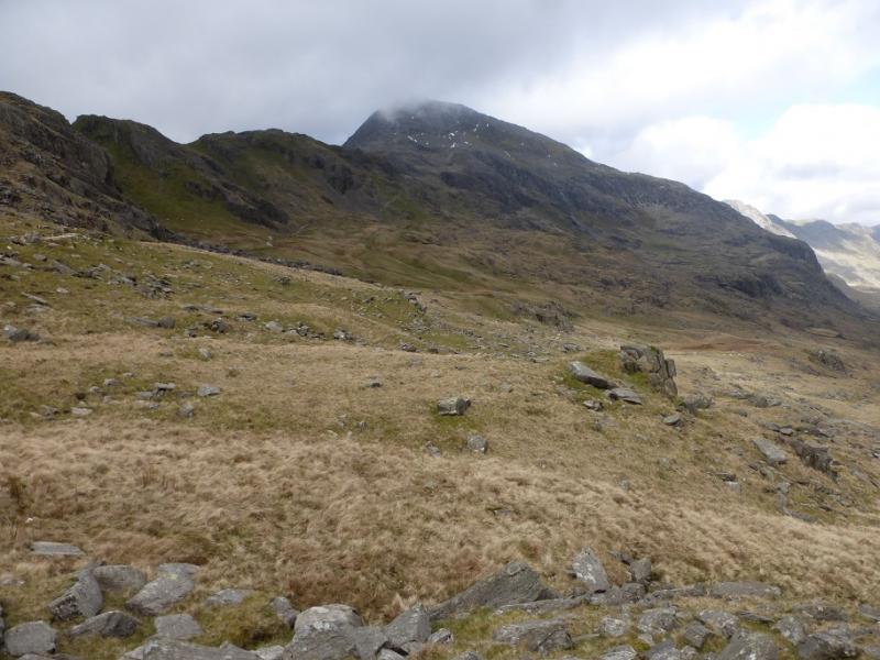
This is half (Y Lliwedd is omitted) the most famous walk in North Wales and should be kept for a good day with clear visibility, dry weather and little or no wind. The entire route is well walked and navigation should not be a problem. Ascending from the PYG path to the summit of Crib Goch requires care and good route finding as the route has become quite eroded and several “paths” now exist. In the wet this ascent is only for the very experienced and competent scrambler.
Route
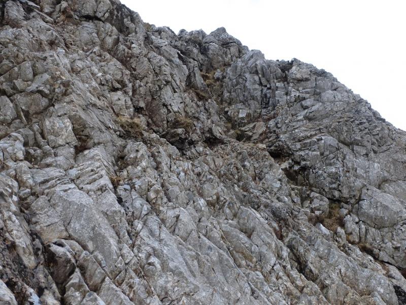
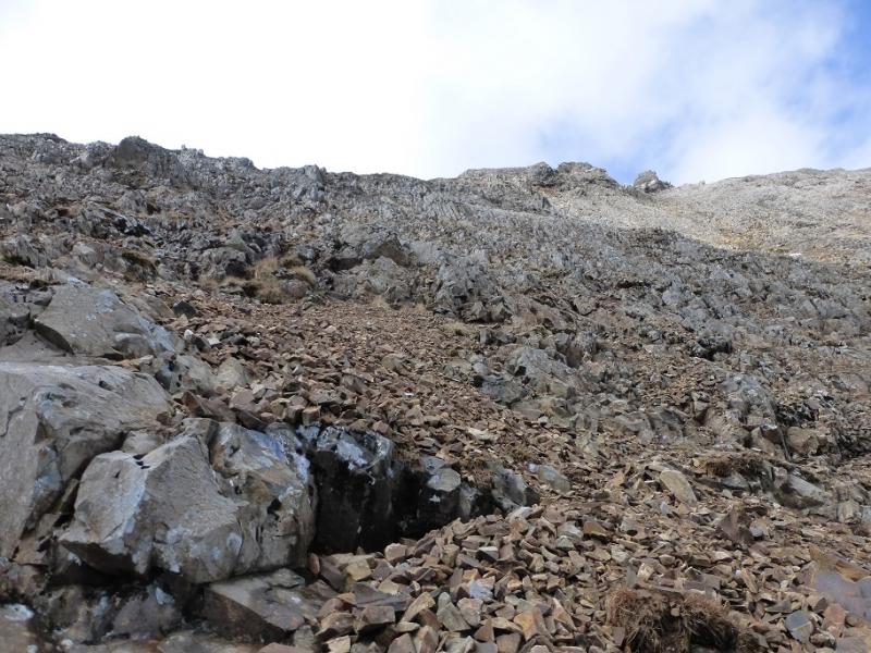
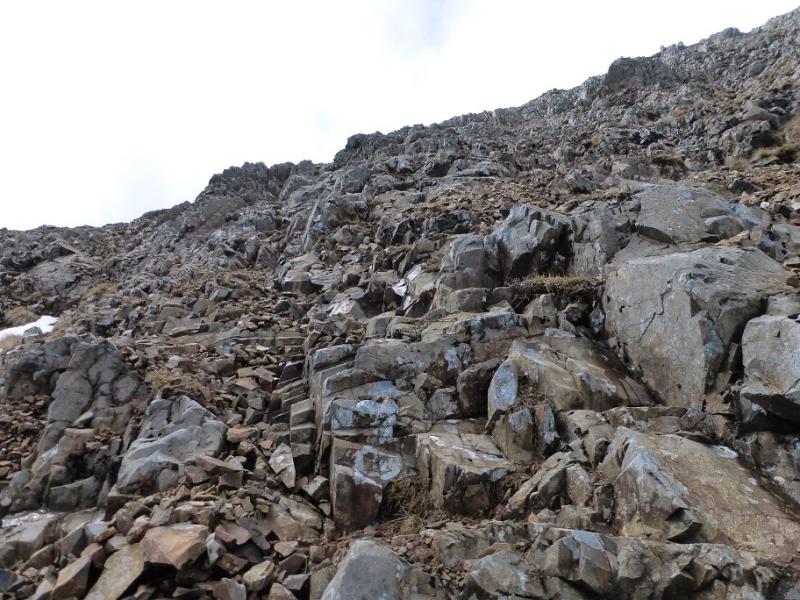
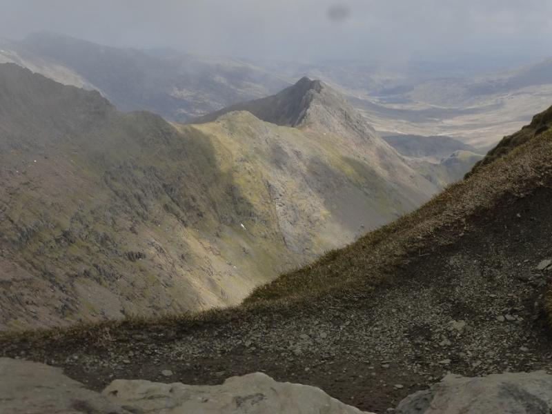
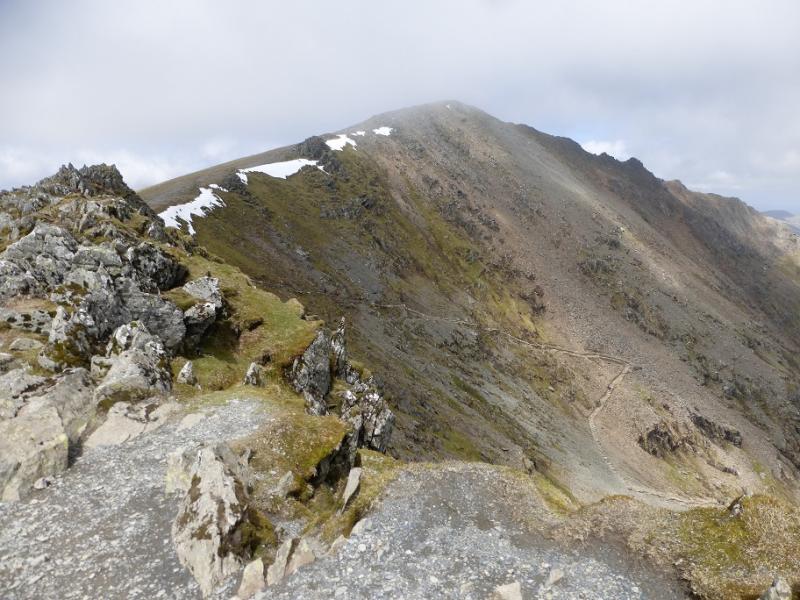
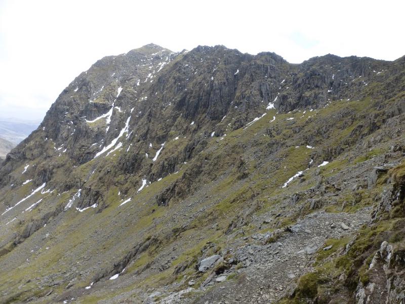
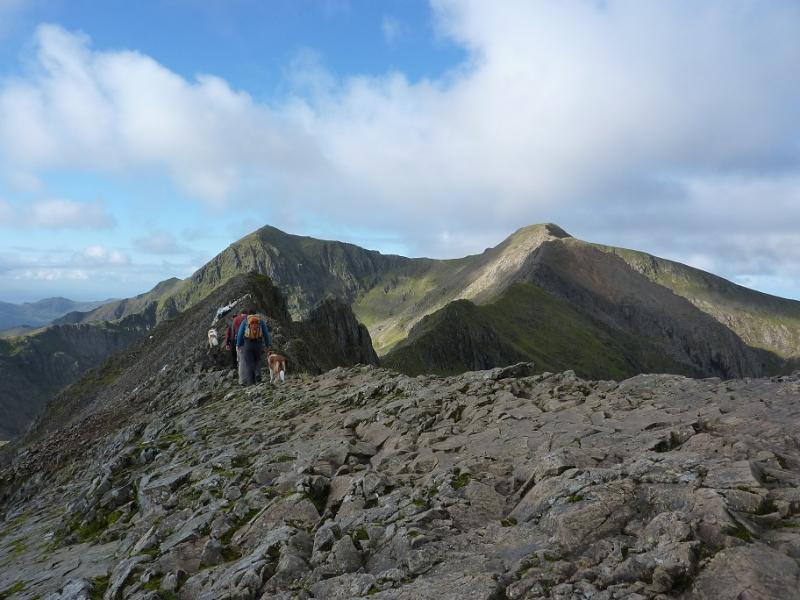
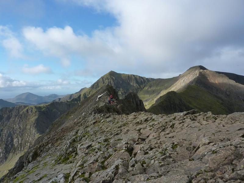
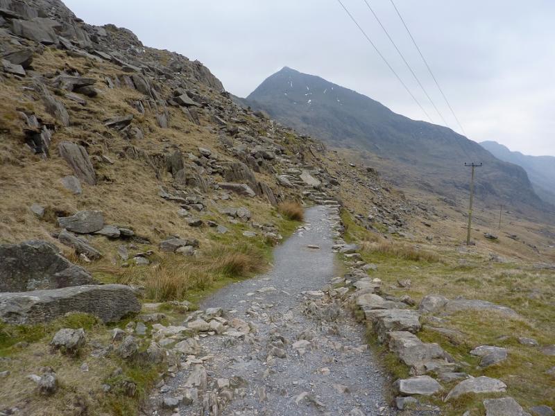
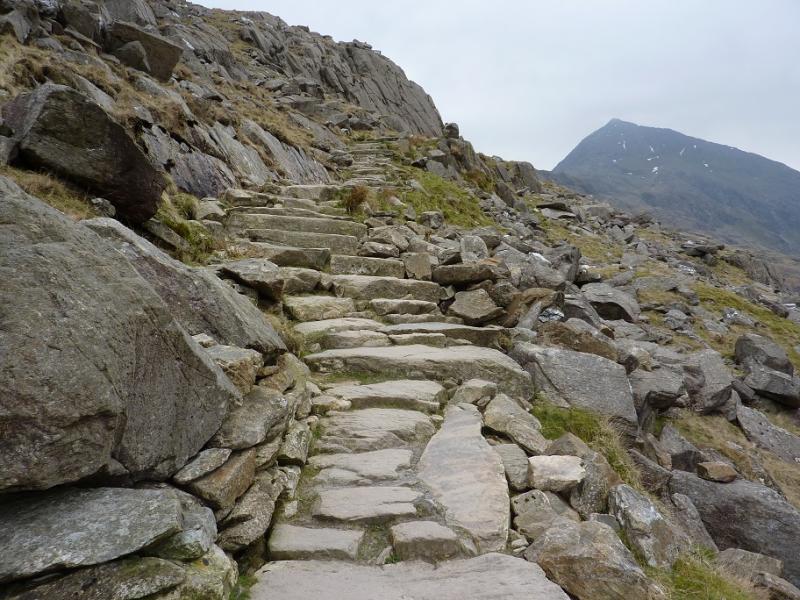
(1) From Pen-y-Pass car park, go to the NW (top right looking from entrance) corner of the upper car park where there is a “hole in the wall”. Follow the obvious path W which climbs gradually then passes into a col called Bwlch y Moch where there are two adjacent stiles. Leave the PYG path here and take the path heading towards Crib Goch, almost immediately above and slightly to the right. The path is easy to begin with then becomes steeper and exposed in places. Over use has created multiple paths so good route finding is essential but some scrambling will be necessary to reach the summit crest which is narrow and rocky. The ascent is much more difficult in the wet. The first top is Crib Goch E Top, 921 m then further along the ridge is the true summit of Crib Goch at 923 m.
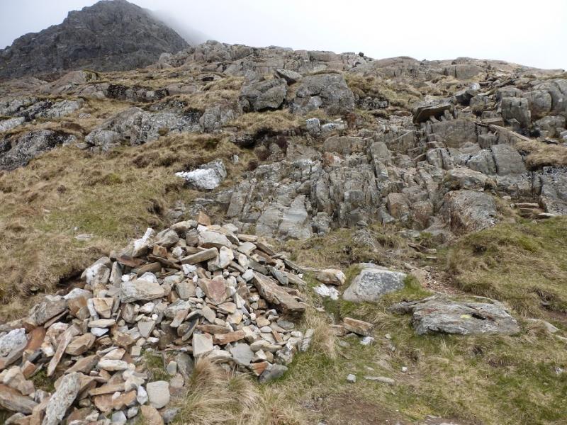
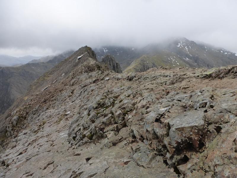
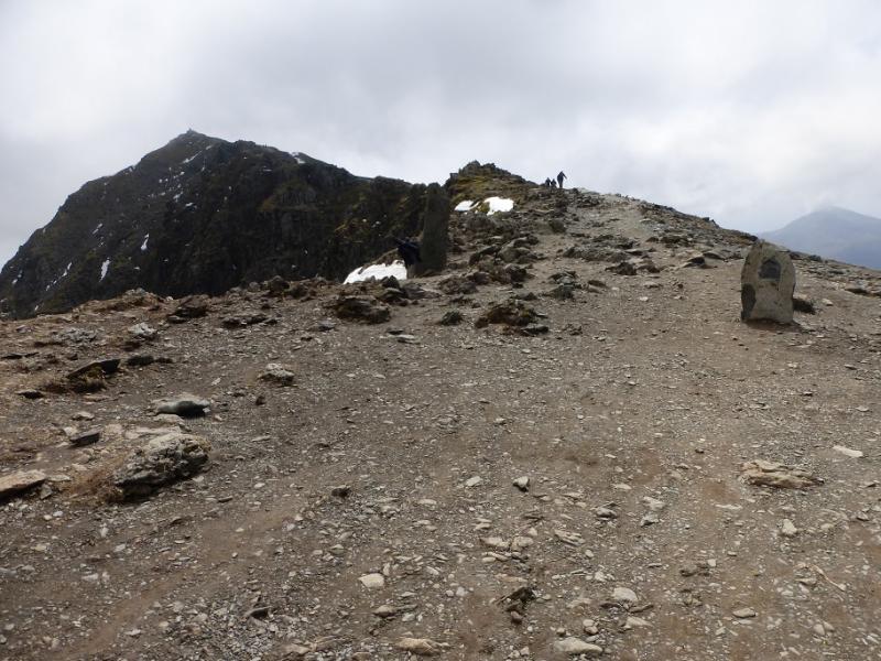
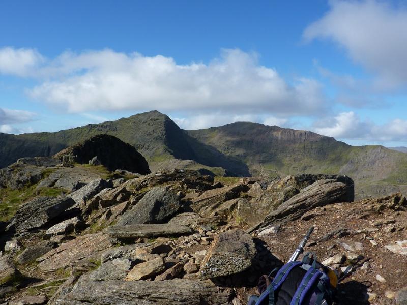
(2) Continue along the arête which is generally easy but there is some exposed short scrambling. It is usually easier to keep to the crest. Eventually, the difficulties end and you descend to the W col. Continue, on an obvious path, up the other side, with some scrambling to reach the summit cairn/trig point of Crib-y Ddysgl at 1065 m. Some people refer to this peak as Garnedd Ugain.
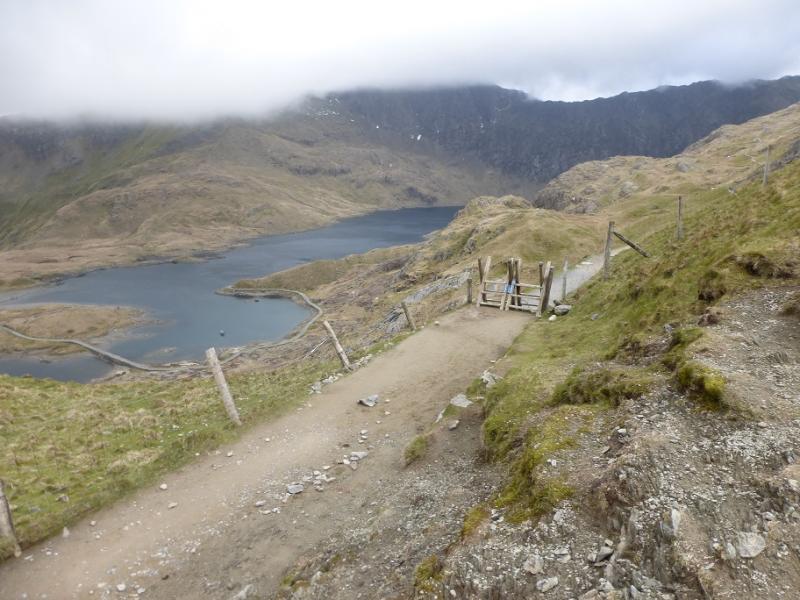
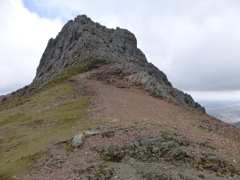
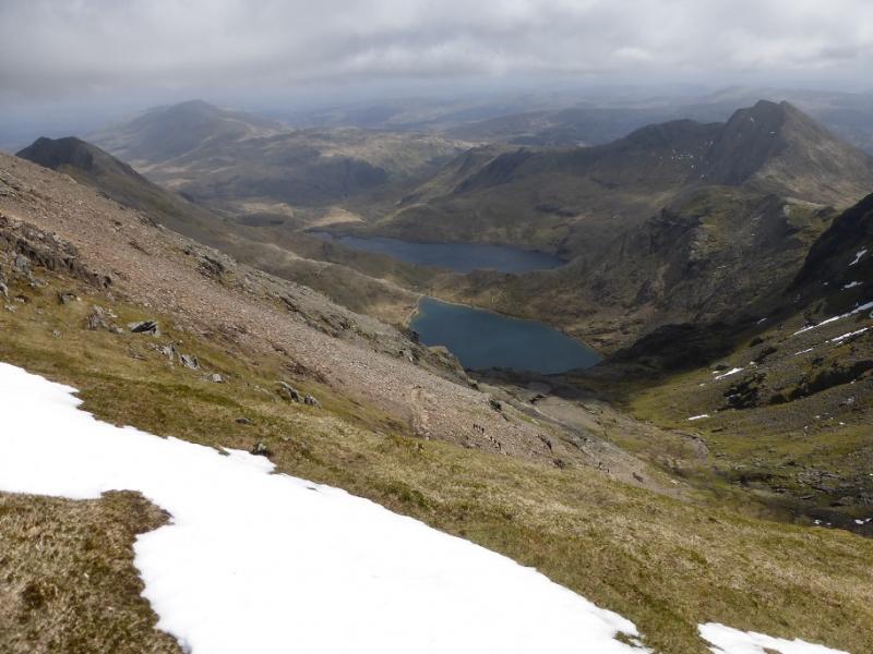
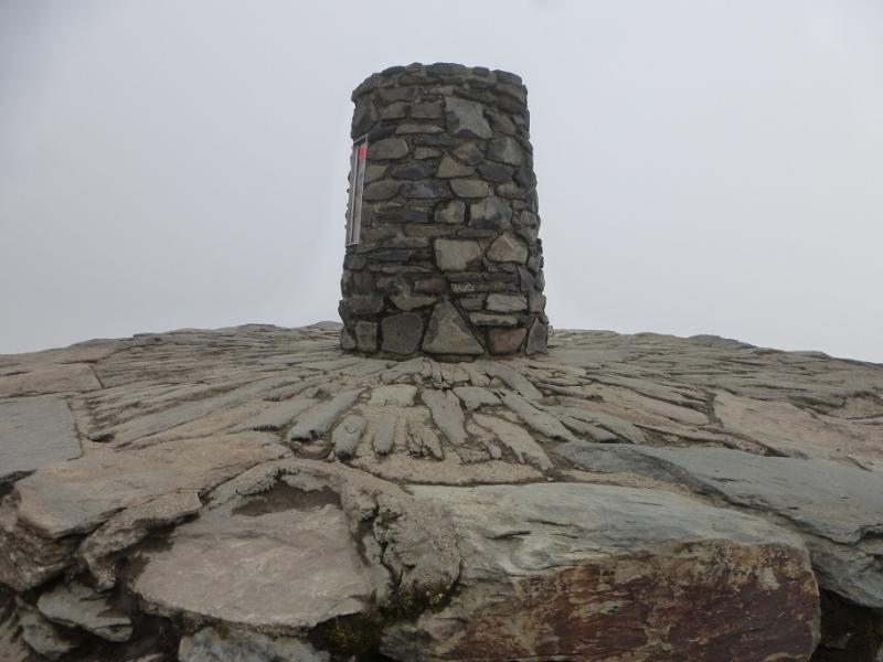
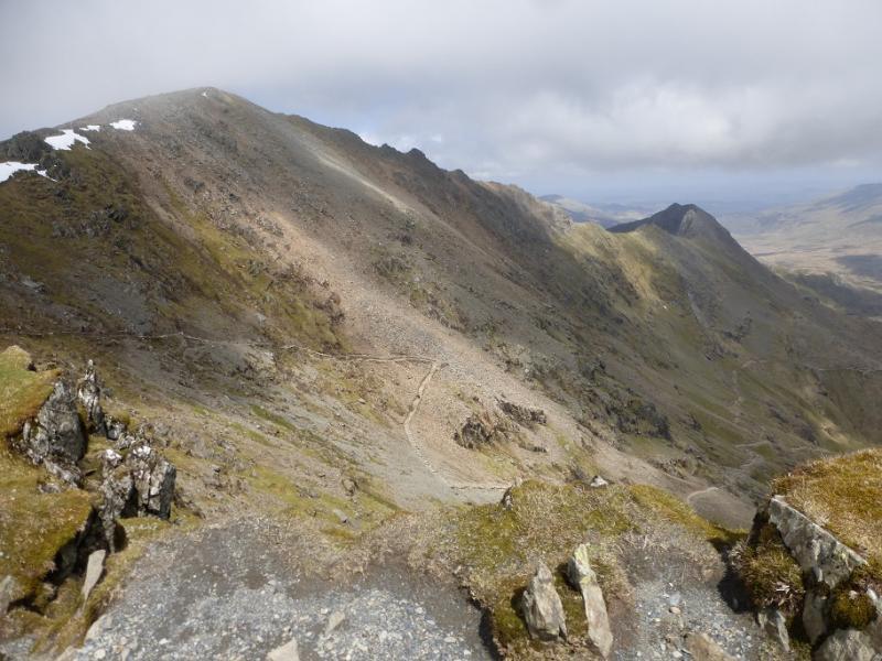
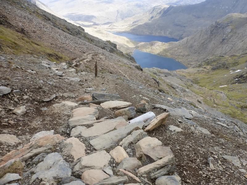
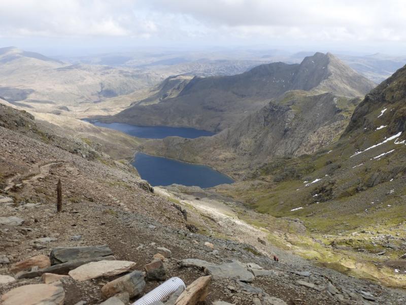
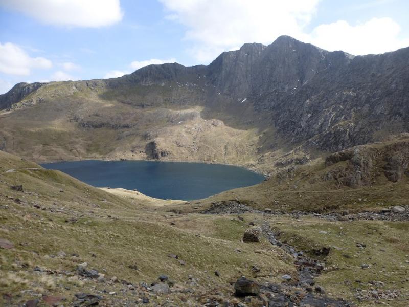
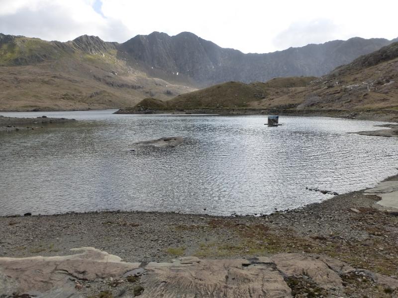
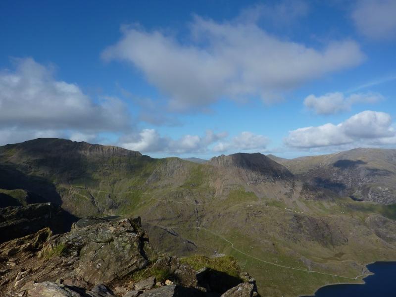
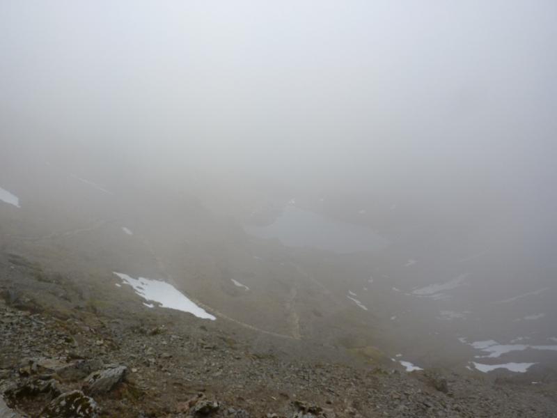
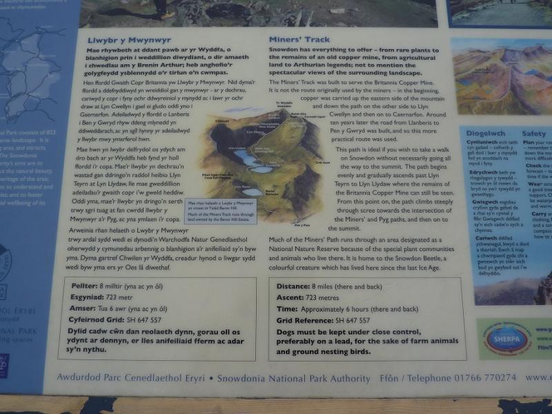
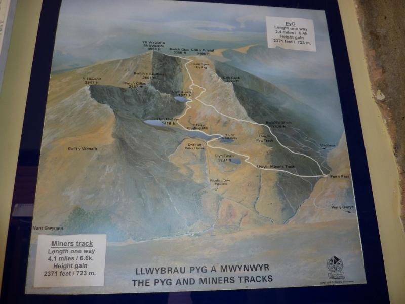
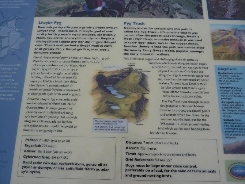
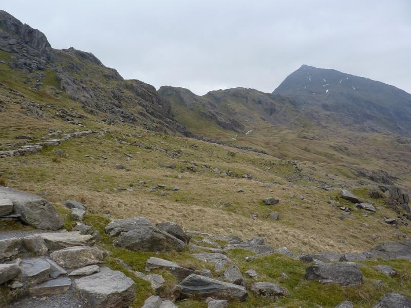
(3) Walk SW then S, descending slightly, on a broad grassy ridge to join the railway which is followed to the summit of Snowdon, 1085 m, where there is a café, not always open, and a large cairn on a plinth with steps. Note where the top of the PYG & Miners' tracks is crossed by two large marker stones.
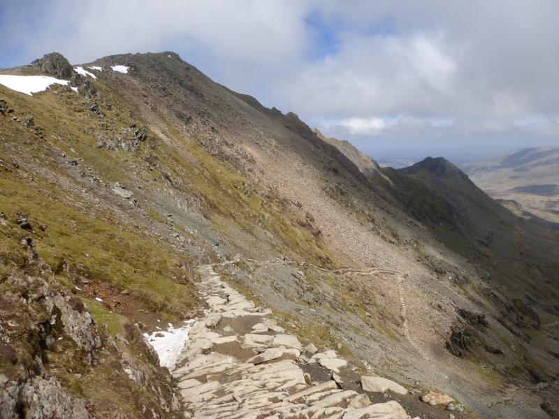
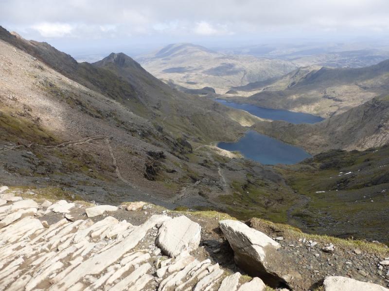
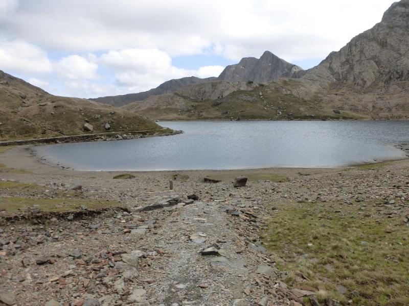
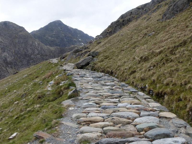
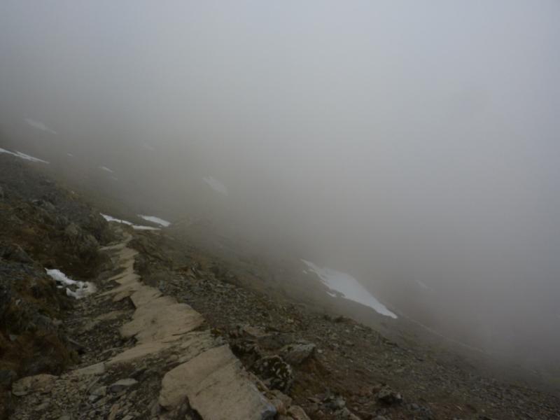
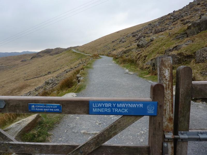
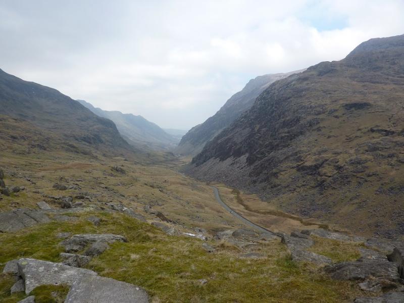
(4) Retrace to the marker stones and start descending the obvious path which is a combination of the PYG and Miners' track. The path has been worked on but is still rough and can be hard on the knees. Lower down, the path splits (not very obvious) and one can either descend to the lower path on the right which is the Miners' Track then follow it around the lakes back to the car park or one can stay on the upper PYG track and follow that back to the car park. Neither option is significantly easier than the other and both have rough sections. The choice may depend upon whether one wants to walk by the lakes in which case choose the Miners' track.
Notes
(a) This walk took place on 4th May, 2016, and several times before.
(b) This route would be a very serious undertaking in winter conditions and ice axe and crampons would be essential. The exit from the top of the PYG and Miners' track on to the Snowdon ridge can hold late snow.
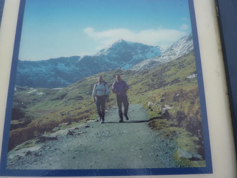
Photos - Hover over photo for caption. Click on to enlarge. Click on again to reduce.

.JPG)