Get Lost Mountaineering
You are here: Scotland » 17 Islands » Skye
Inaccessible Pinnacle, Sgurr Mhic Choinnich & Sgurr Thearlaich from Glenbrittle BMC Hut
Inaccessible Pinnacle, Sgurr Mhic Choinnich & Sgurr Thearlaich
from Glenbrittle BMC Hut
Start/Finish
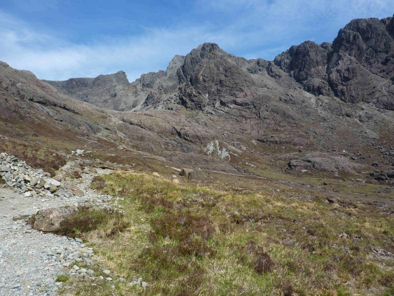
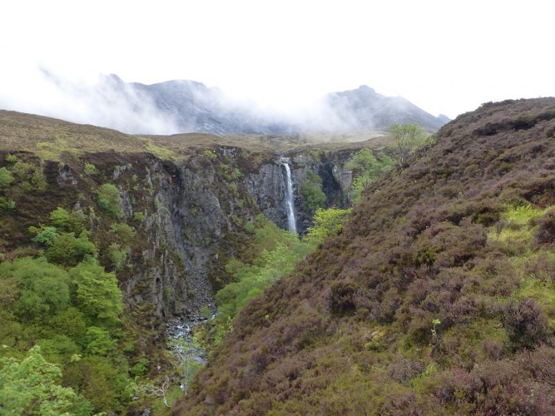
Glenbrittle BMC Hut which is about half a mile further down the glen from the youth hostel. Plenty parking is usually available except at busy times
Distance/Time
10 km. About 9 hours.
Peaks
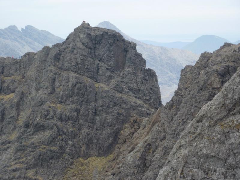
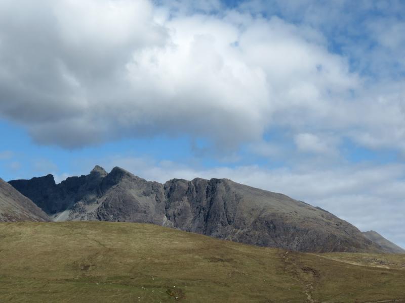
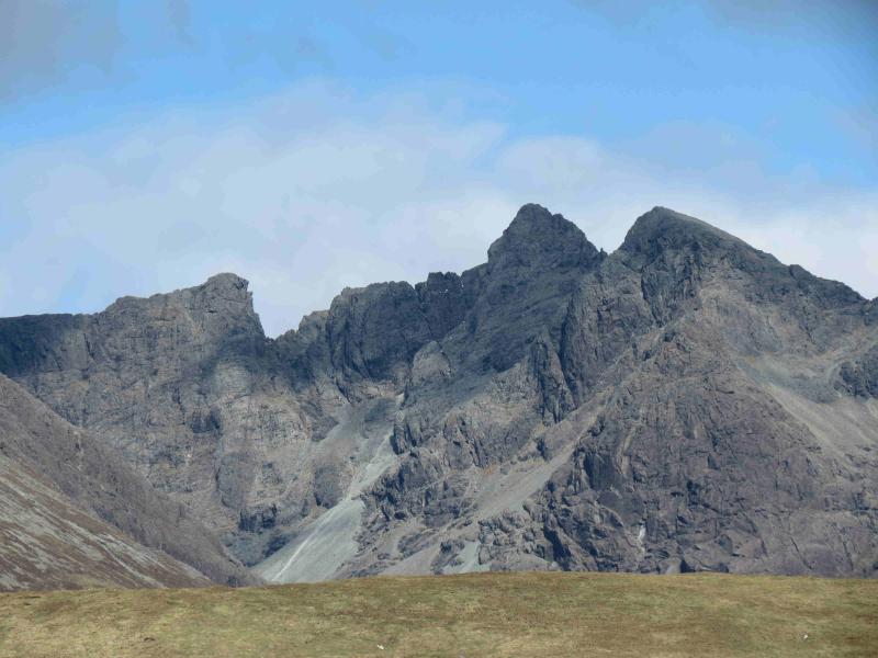
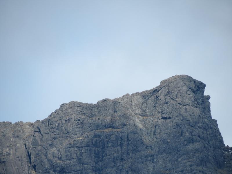
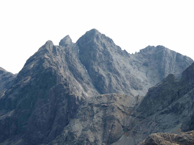
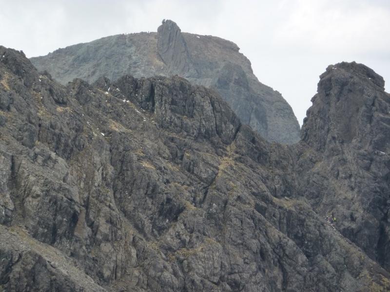
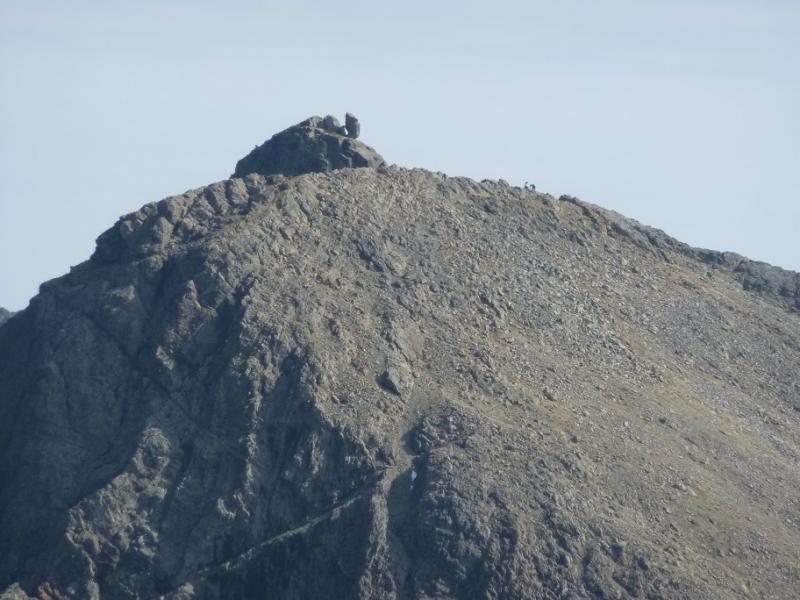
Sgurr Dearg – Inaccessible Pinnacle, 986 m, NG 444 215.
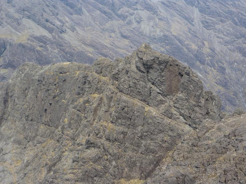
Sgurr Mhic Choinnich, 948 m, NG 450 210.
Sgurr Thearlaich, 978 m, NG 451 208. OS sheet 32 but see below.
Introduction
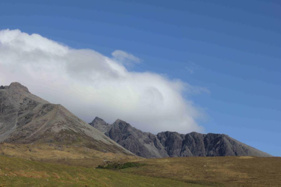
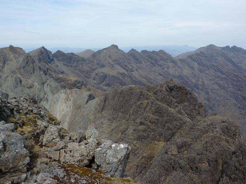
This is one of the hardest sections of the main ridge and is well beyond walkers who are not climbers or top scramblers. The ascent of the In Pin is an exposed climb (good holds) up a knife edge arete and the usual way off is to abseil. Sgurr Mhic Choinnich (different spellings exist) is a hard scramble especially descending via Collie's (Hart's) Ledge to the col with Sgurr Thearlaich. Sgurr Thearlaich is a climb up and down to its col with Sgurr Alasdair with some awkward slabs to be negotiated and these can be very slippery when wet. For walkers, there are two options: eithe rfind a climbing friend or hire a guide (most take up to 4 people). Guides can be found on the Walking Highlands website. Bear in mind that even the guides may not take on this route in poor weather; many now lower clients rather than letting them abseil to save time. It is not unusual for queues to form at the base of the In Pin and one can wait for well over an hour at busy times.OS sheet 32 covers the walk but some will prefer the Harvey map of the Cuillin. The SMT used to publish a very good map of the main Cuillin (not including the Blaven range) which had the contour map on one side (unfortunately without grid lines!) and a diagram map on the reverse similar in style to that used in the SMC Munros book. In clear weather, the diagram map is probably the most useful as the others can be over powering with all their contours. There are many guide books for Skye but the most popular and comprehensive seems to be the SMC Skye Scrambles and is well worth buying. Note that a compass is unreliable on the Cuillin so be extra prepared in bad weather to cope without one. A compass needle may spin.
Route
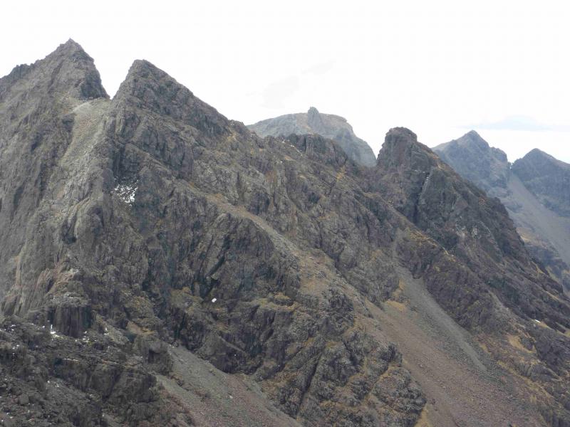
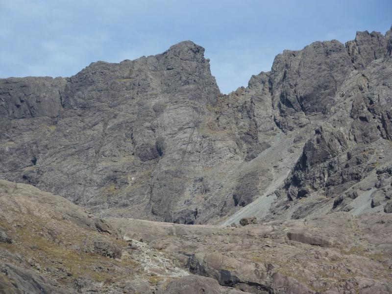
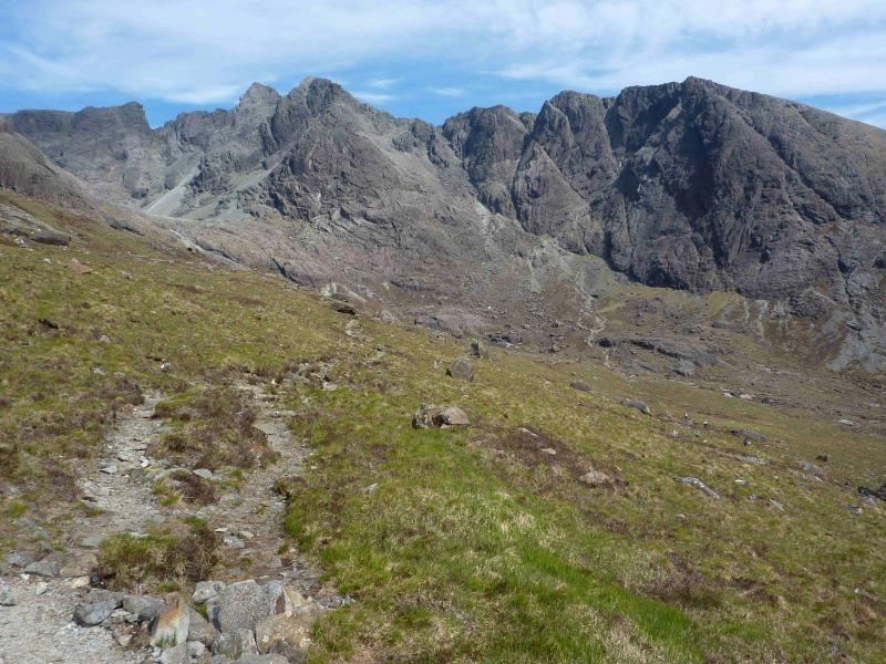
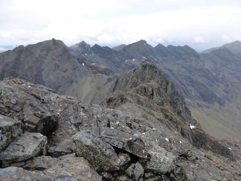
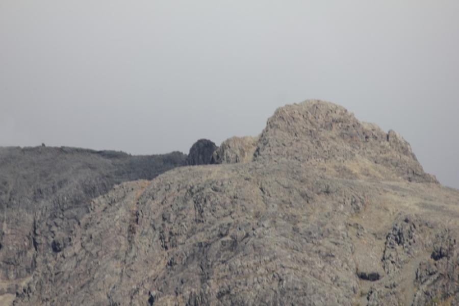
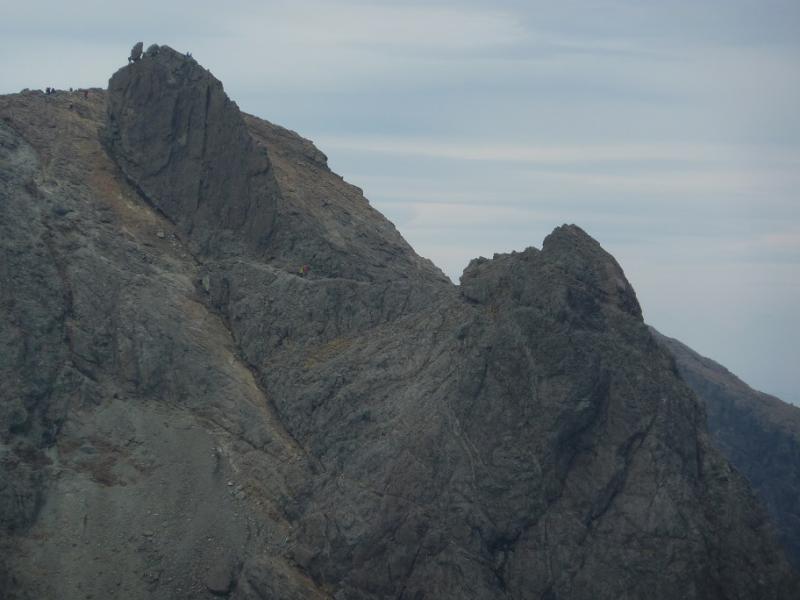
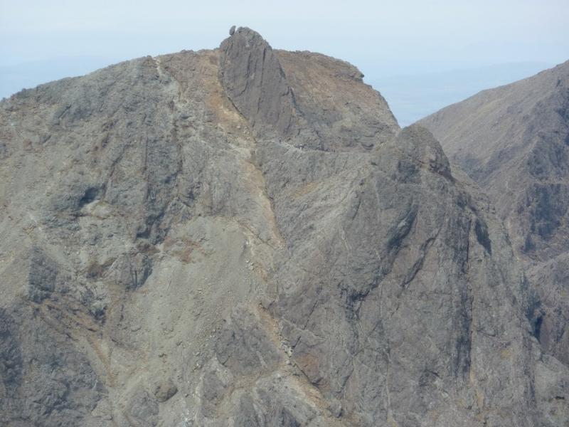
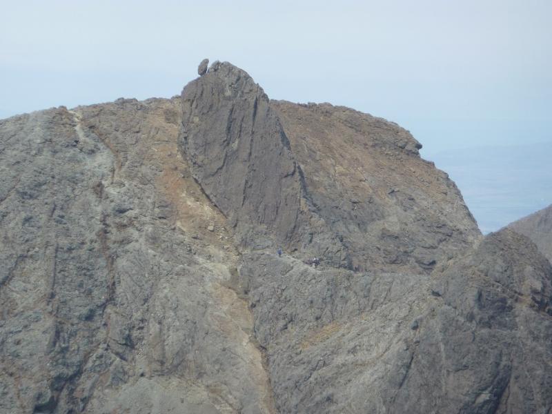
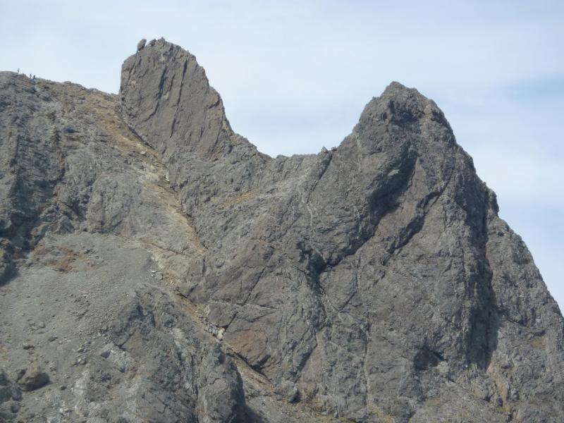
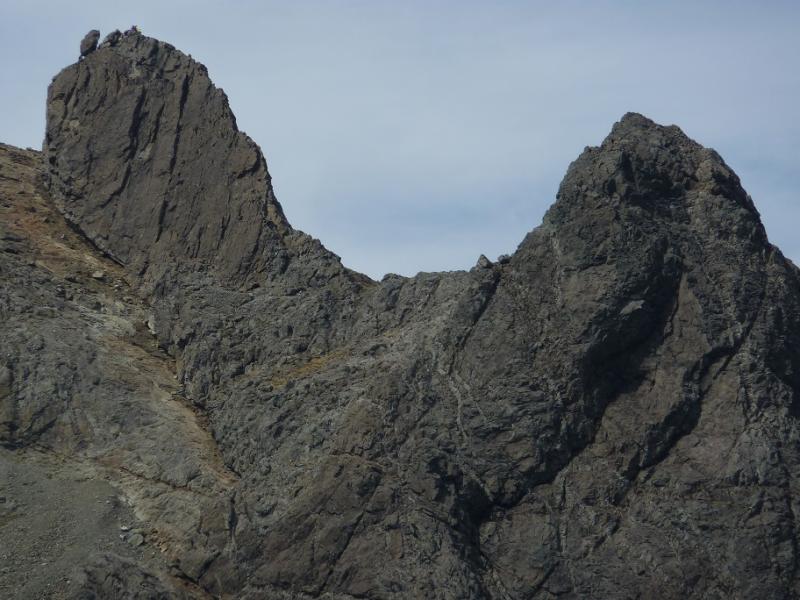
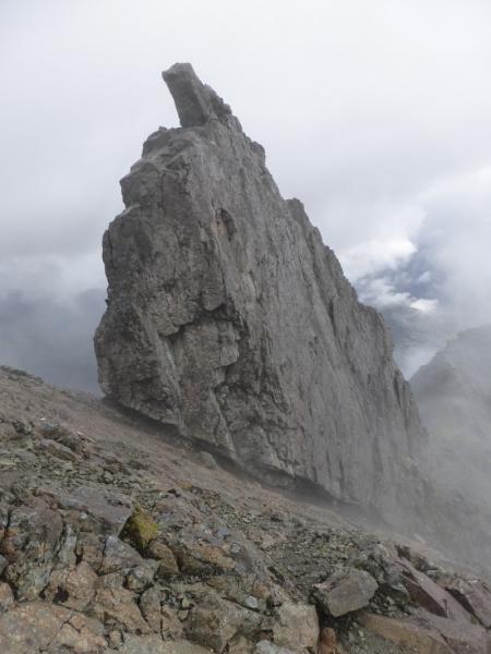
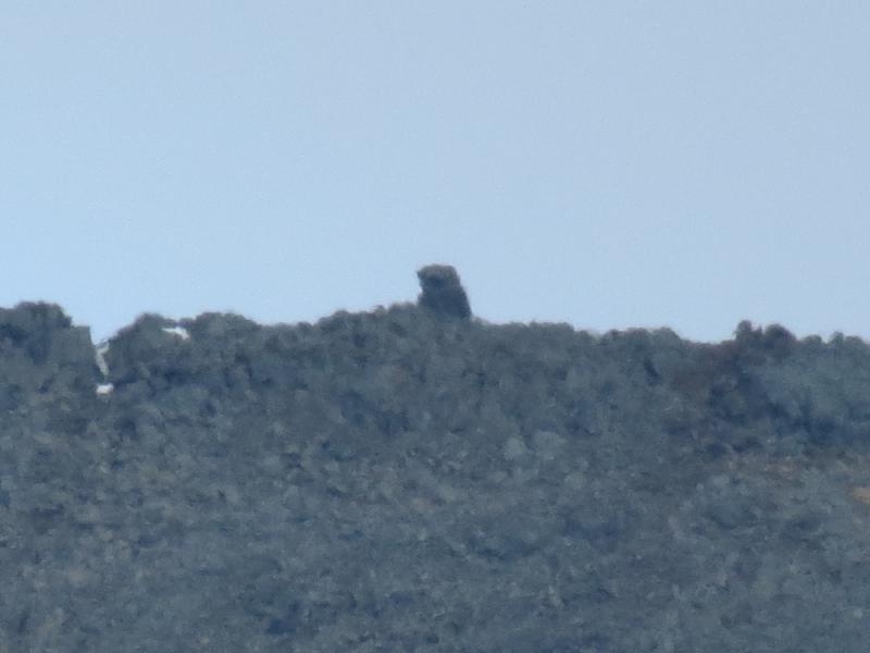
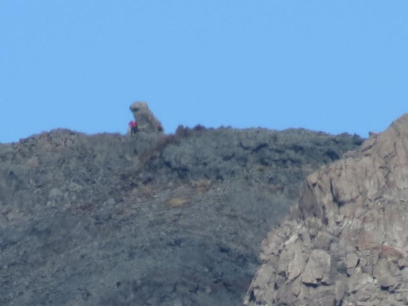
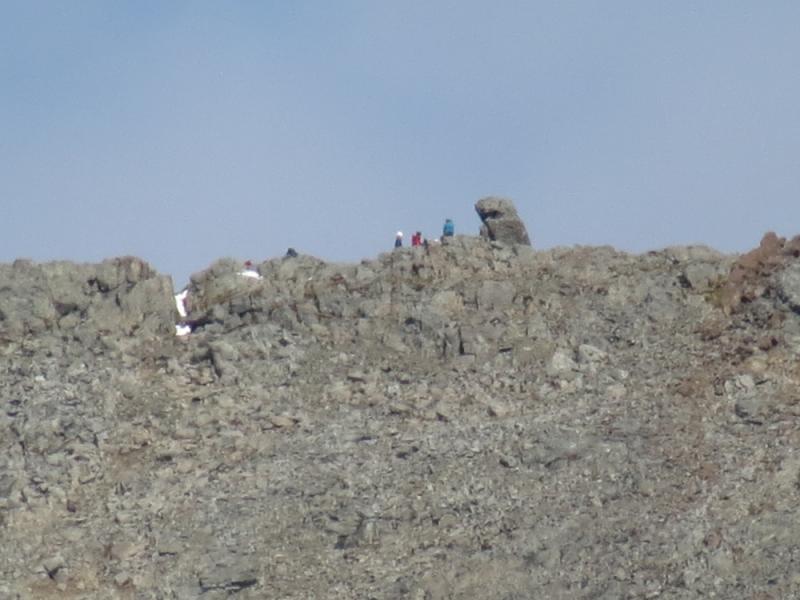
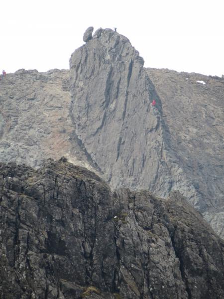
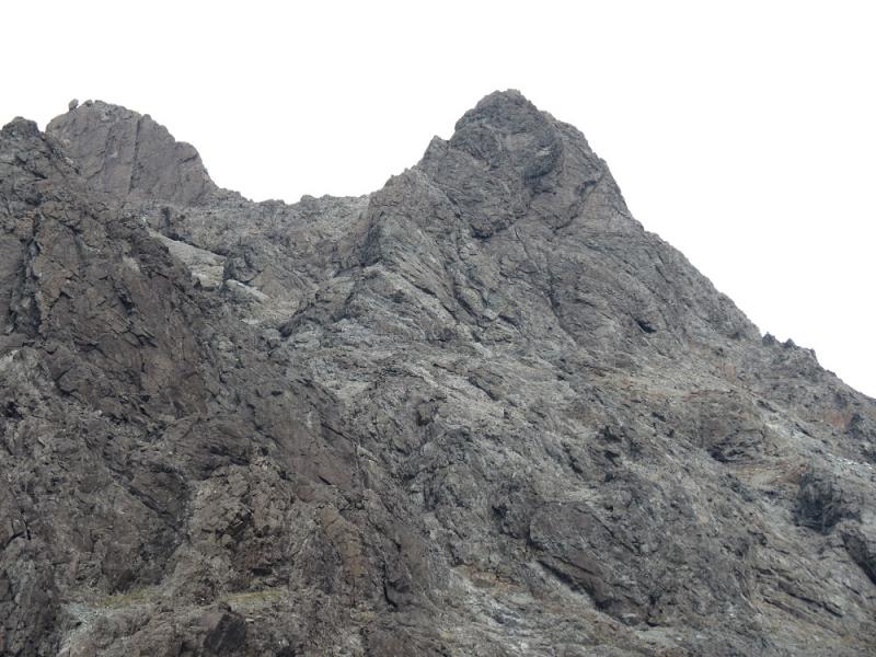
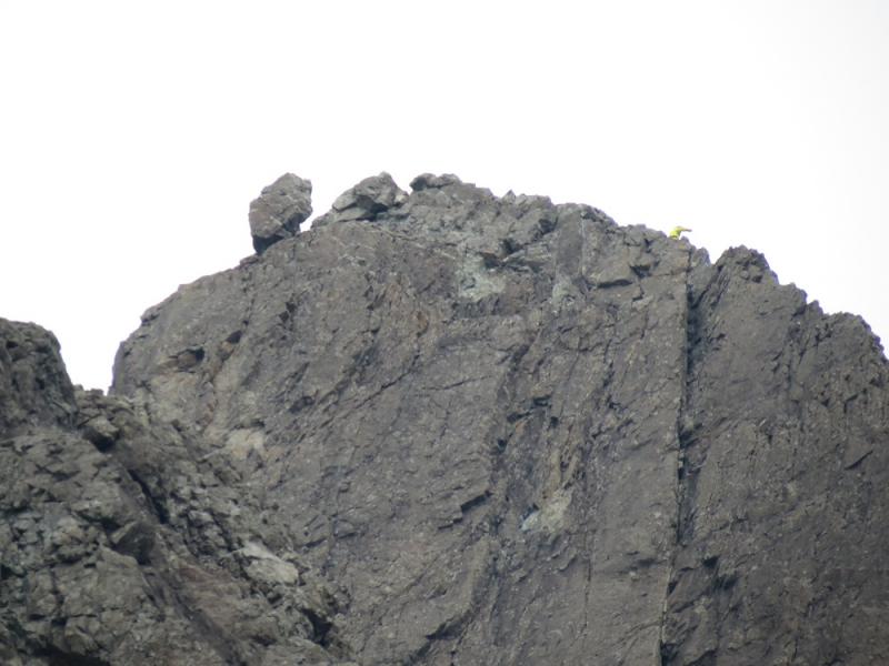
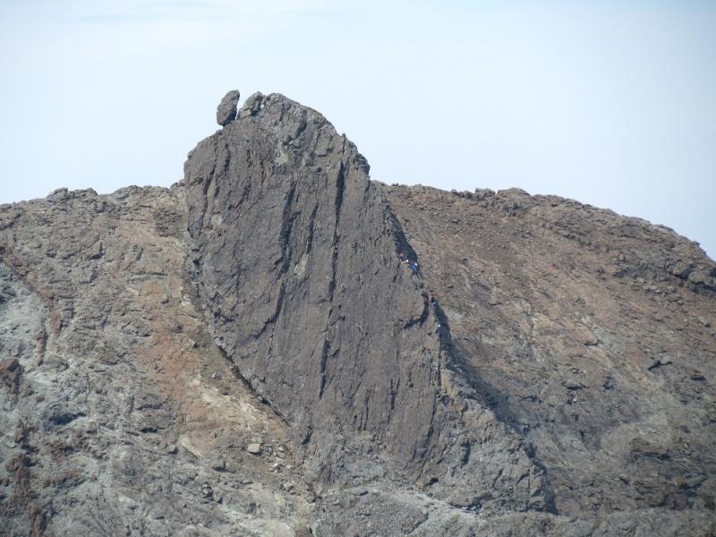
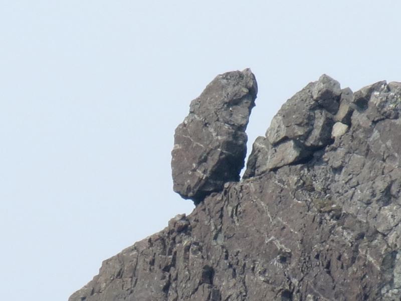
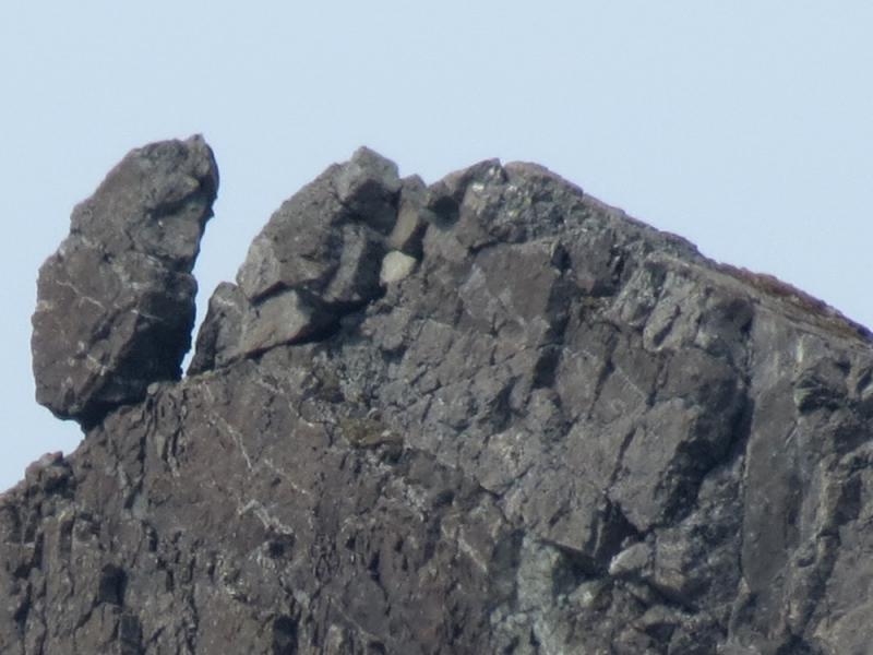
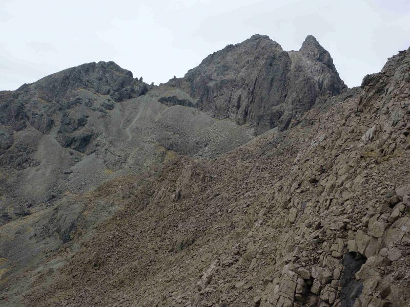
(1) Follow the path which starts opposite the BMC hut. It soon crosses a bridge then can be followed up. Aim for the nose of Sgurr Dearg and ascend it on a reasonable path which is steep and loose in places but not particularly difficult. Once the crest is gained, good route finding is necessary and the path is often below the crest on the right. Eventually, reach a point where the In Pin is obvious to the right with the abseil side closest to the Sgurr Dearg crest. Descend and walk around the right hand (south) side of the In Pin to reach the foot of its E ridge which is graded as a moderate rock climb. The ridge is gained by a short climb from the south side then followed up. It is possible to climb the ridge in two pitches with a belay about halfway up. The ridge is a very exposed knife edge arete with very good holds almost all the way. The summit was hit by lightning a few years ago and is now a gently sloping slab. There is some debate as to what now constitutes the official highest point but this is the summit of Sgurr Dearg – Inaccessible Pinnacle, 986 m. There is no cairn.
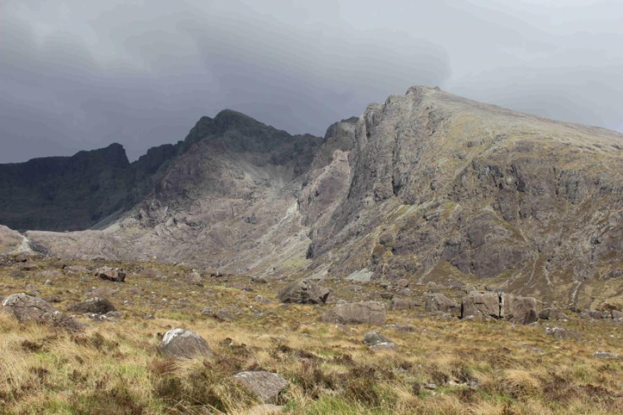
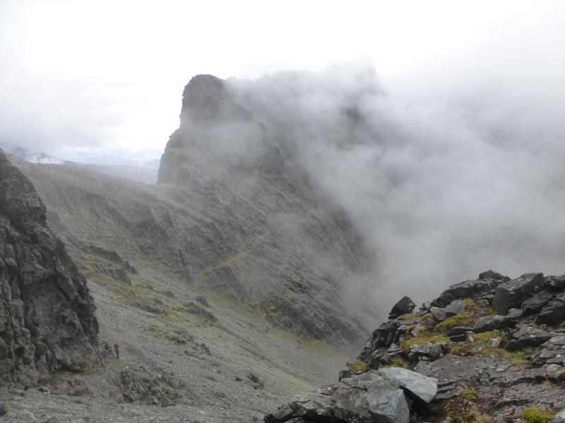
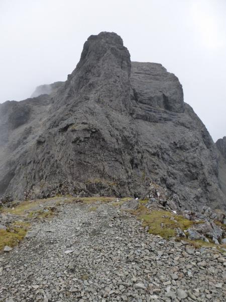
(2) Abseil or be lowered down the West side which is much steeper than the East ridge and can be very unnerving until one reaches solid ground below. Walk back around the In Pin and continue following the path which goes to the right of An Stac to, eventually, reach the col below Sgurr Mhic Choinnich. Pick a way up the North ridge. This is the easiest ascent of the three peaks but still a Grade 2 scramble so take it steady and reach the small cairn which marks the summit of Sgurr Mhic Choinnich, 948 m.
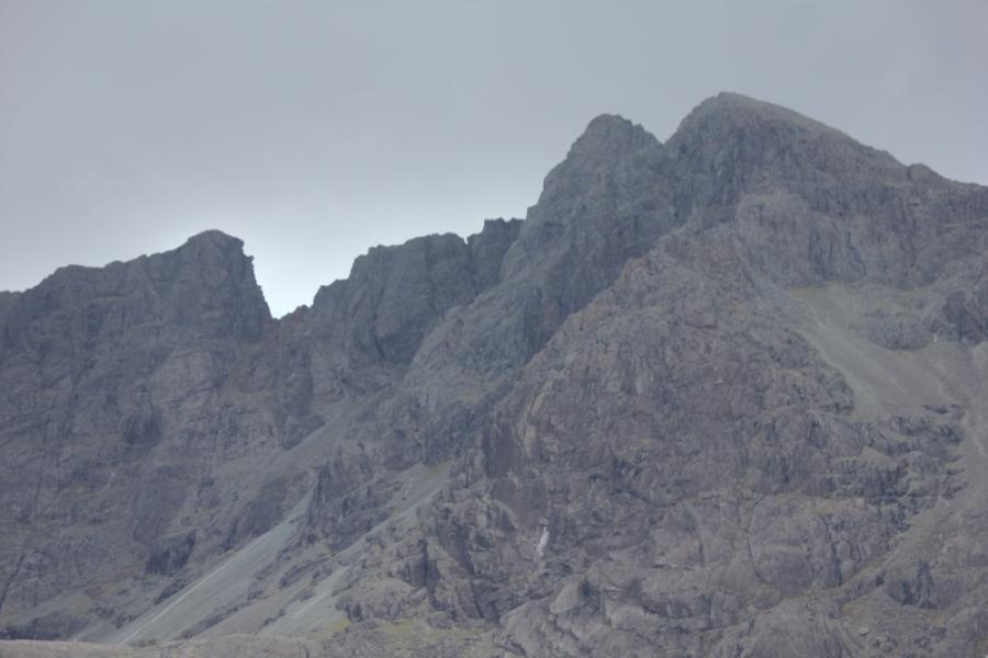
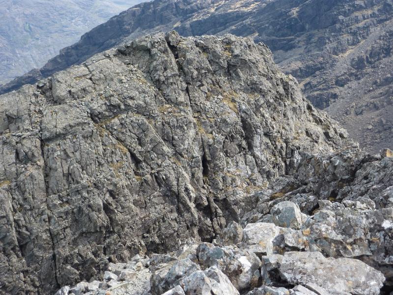
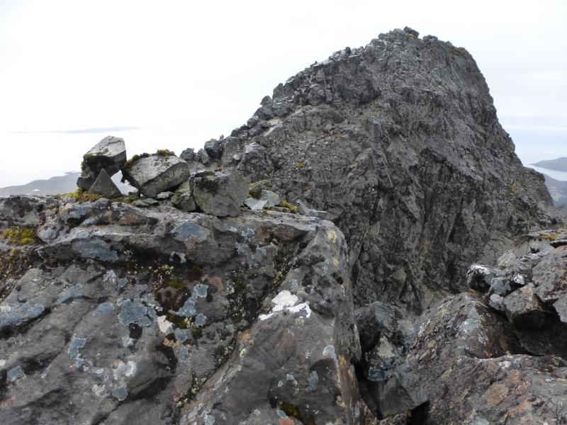
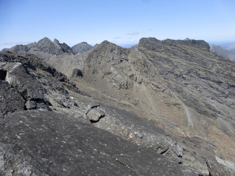
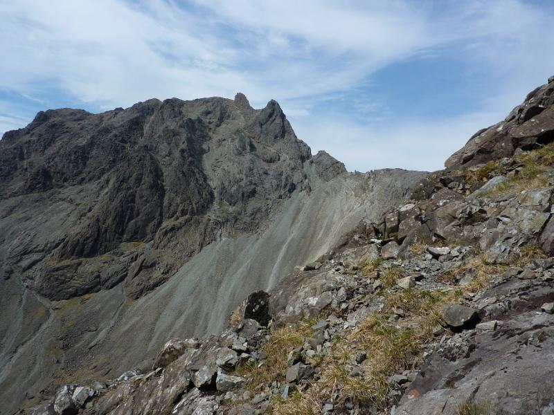
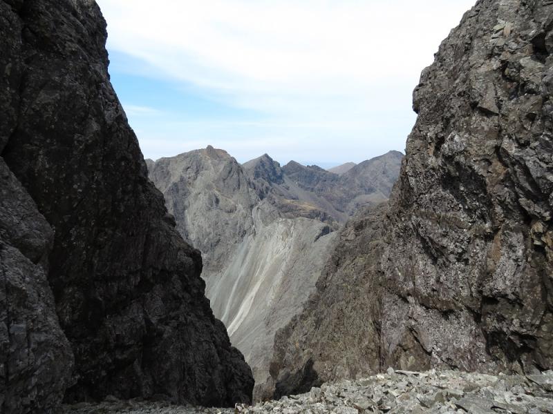
(3) Retrace down the North ridge to reach the start of a traversing ledge on the west (Coire Lagan) side. This is Collie's Ledge but some now call it Hart's Ledge. The ledge is easy at this end but, in places, it is more tricky with some scrambling and an awkward traverse/descent into the col below Sgurr Thearlaich. Pick a way up Sgurr Thearlaich with the “easiest” route going on to the East side with some awkward slabs, lethal when wet, and some short rock steps. In a few places, it seems like an easy path. Reach the small cairn which is the summit of Sgurr Thearlaich, 978 m.
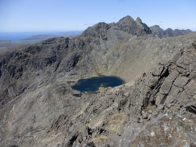
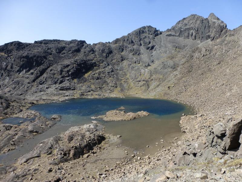
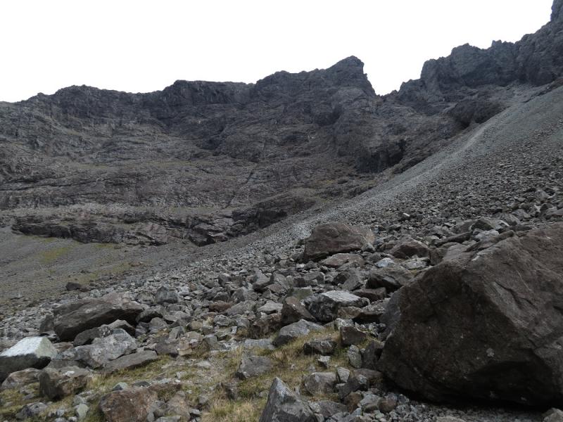
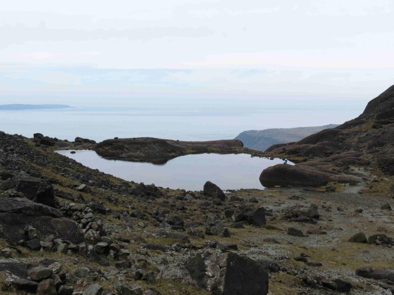
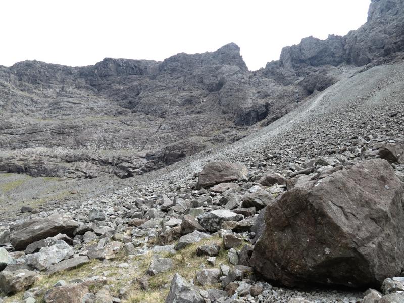
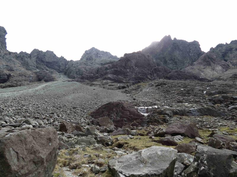
(4) Continue, descending the narrow crest with an awkward slippery slab below the summit. The aim is to reach a point where one can almost step on to the ground to the right. It is also possible to climb down more directly on this side (the Sgurr Alasdair side). Once down, walk up to the col between Sgurr Thearlaich and Sgurr Alasdair then take the path going N down the Great Stone Chute which is a very long scree gully. This is reasonable to begin with but becomes rougher and looser as one descends. The best line is often on the right. Eventually reach the floor of Coire Lagannot far from the lochan. Follow the fairly obvious path out of the corrie taking the right fork at each junction and continue down to rejoin the ascent route not far from the BMC hut.
Notes
(a) This walk took place on 23rd May, 2016. All three peaks had been ascended twice before in different combinations.
(b) Many will climb these peaks as part of the Cuillin Ridge traverse and more likely in the S – N direction.
Photos - Hover over photo for caption. Click on to enlarge. Click on again to reduce.