Get Lost Mountaineering
You are here: Scotland » 17 Islands » Skye
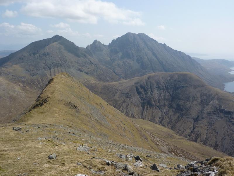
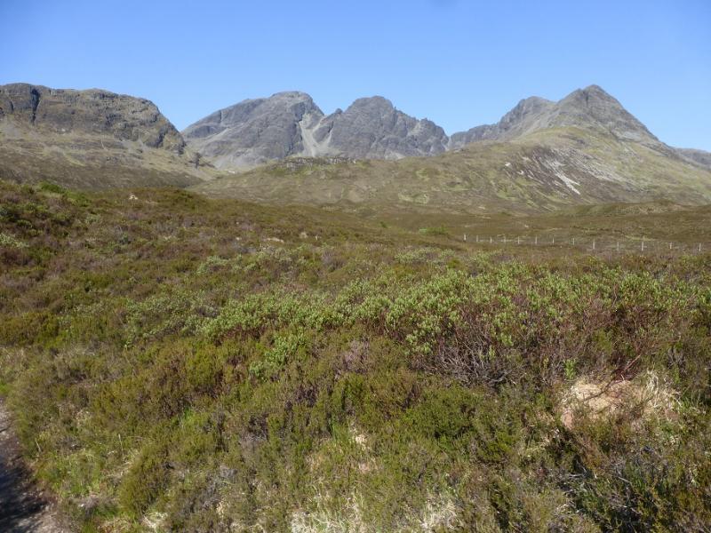
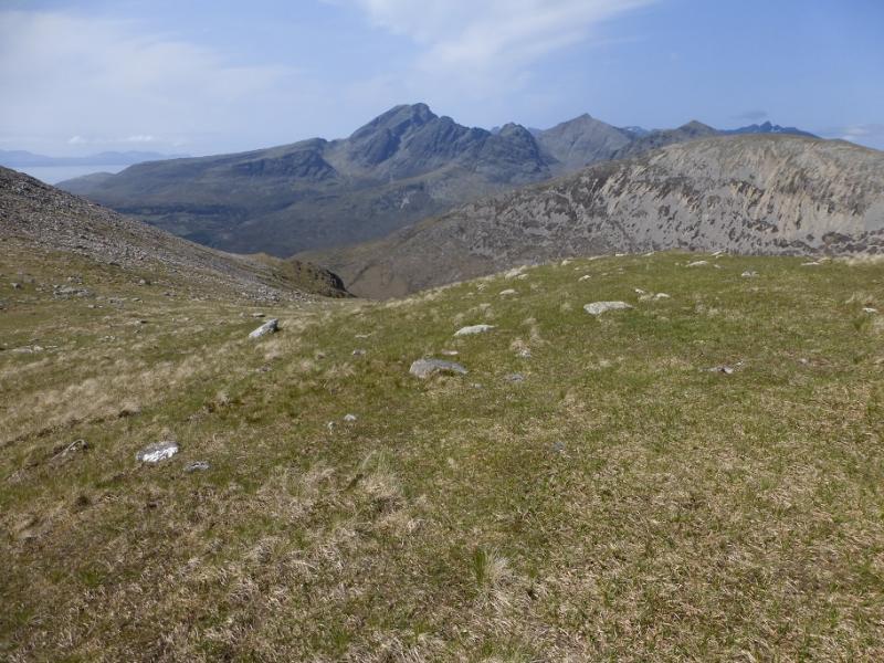
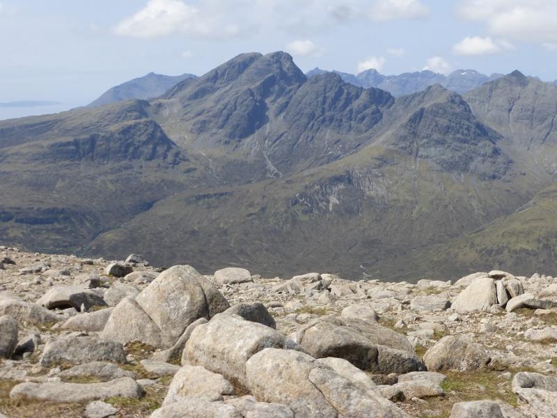
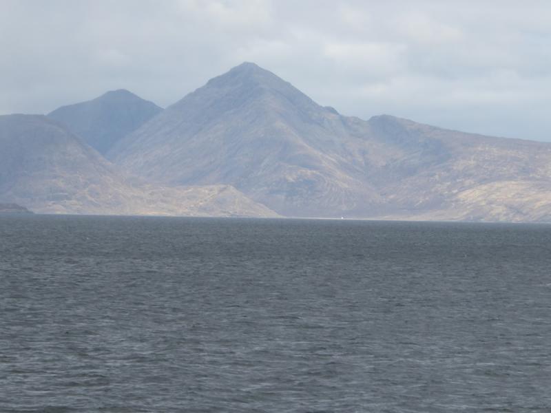
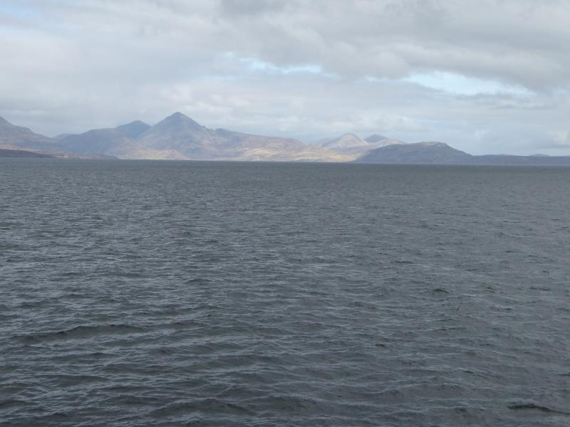
Bla Bheinn (Blaven) from Loch Slapin
Bla Bheinn (Blaven) from Loch Slapin
Start/Finish
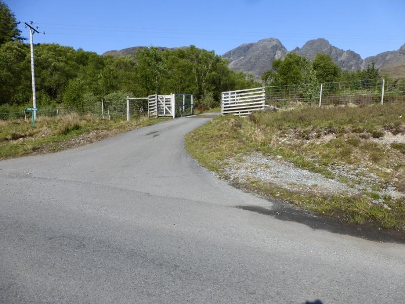
Car park (free) just north of the obvious large wood on the west side of Loch Slapin. This is reached by taking the road to Elgol from Broadford. The village of Torrin is passed through before going around the head of the loch. The car park is signed before the wood and is hidden from the road.
Distance/Time
8 km. About 5 – 6 hours.
Peaks
Bla Bheinn, 928 m, NG 529 217
South Top, 926 m, NG 528 215. OS sheet 32 but see below.
Introduction
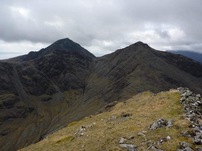
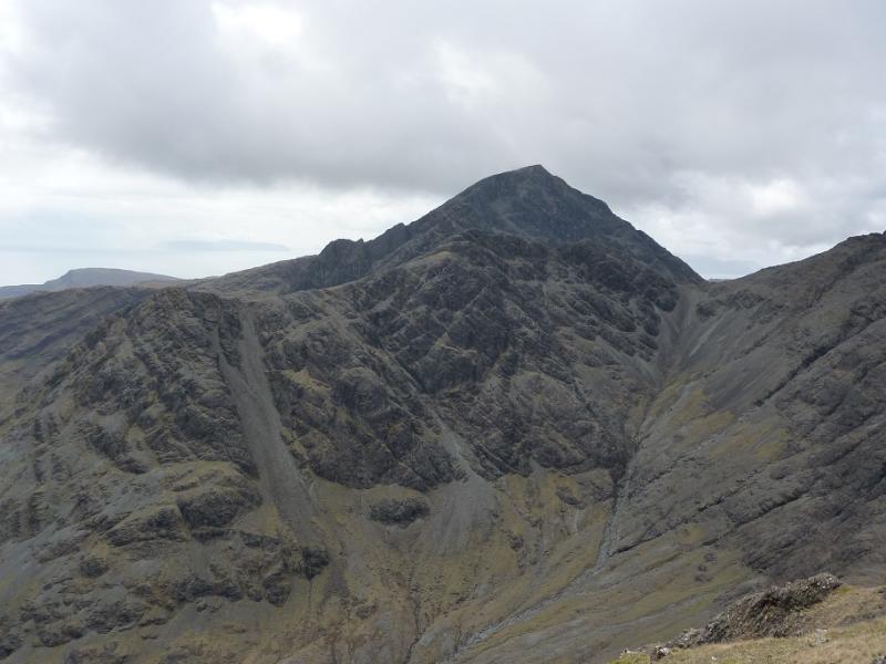
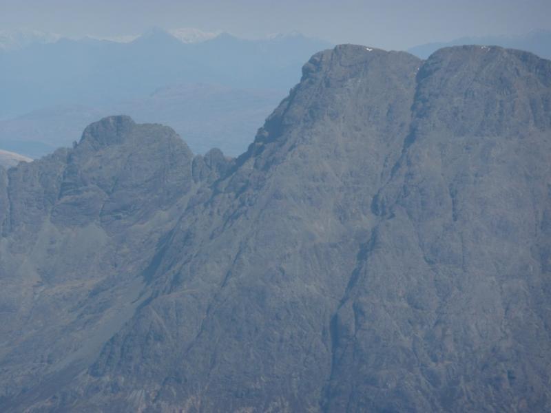
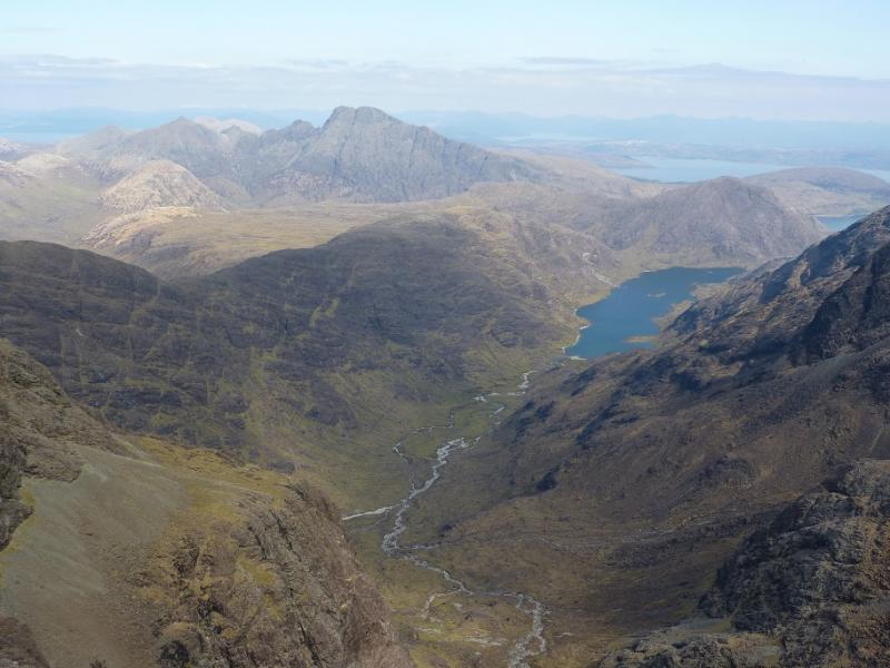
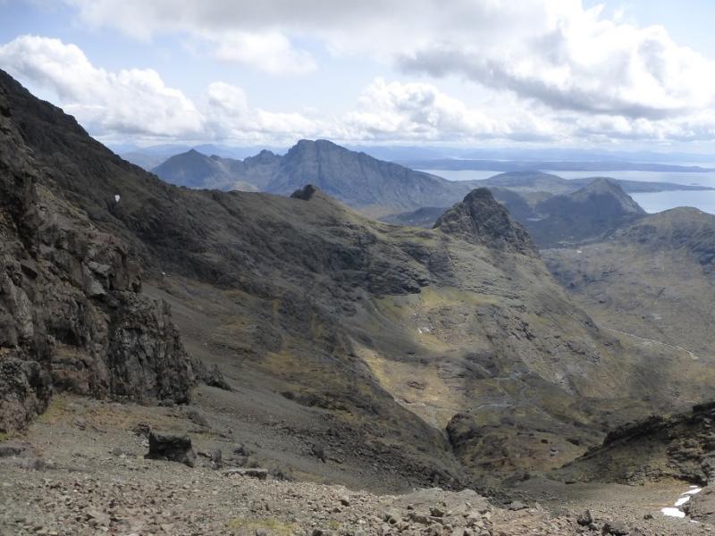
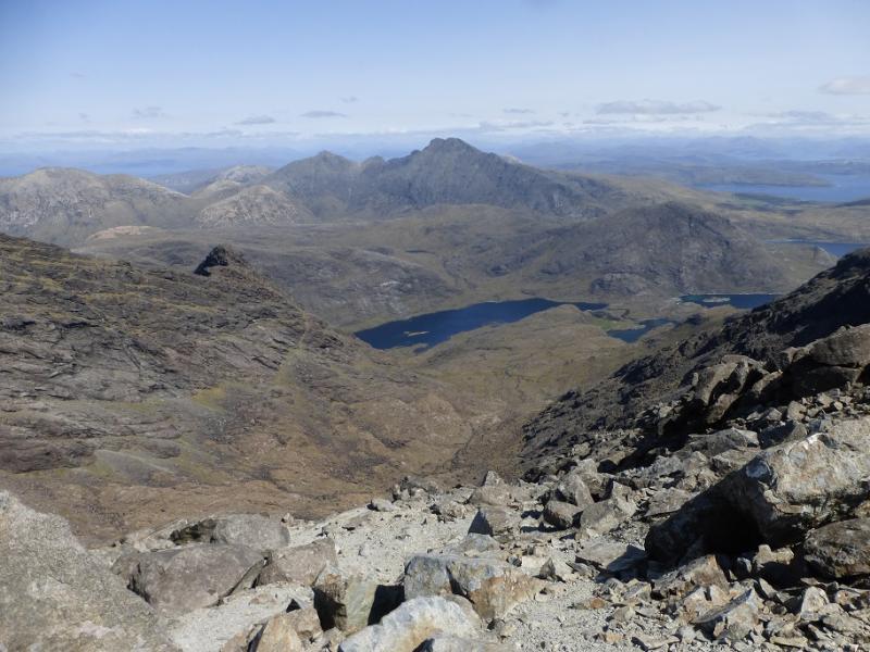
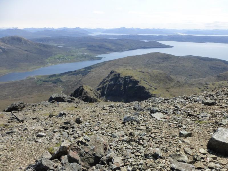
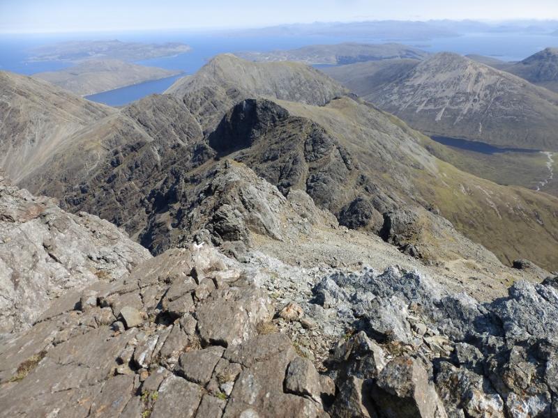
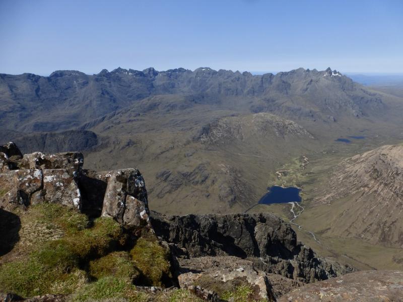
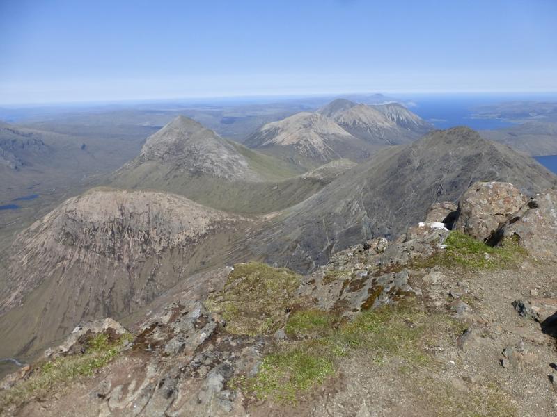
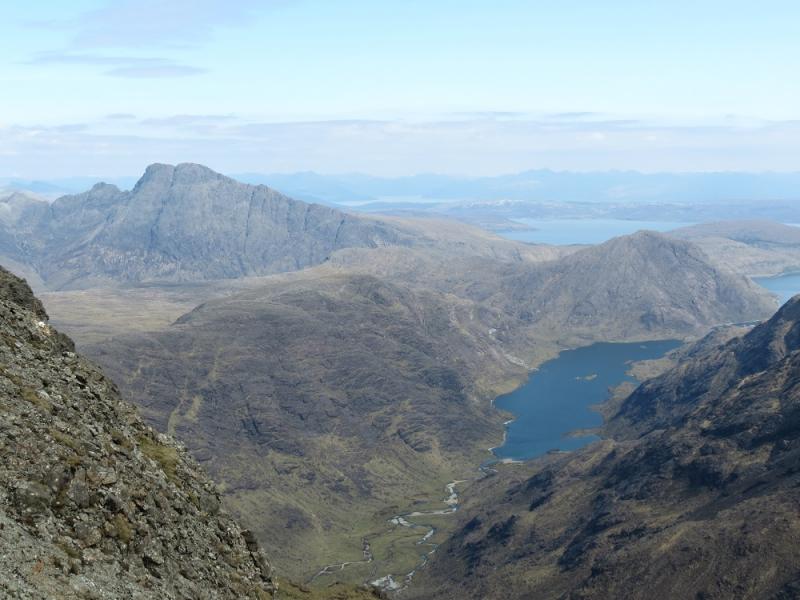
Bla Bheinn or Blaven is the only Skye Munro off the main ridge but is composed of similar rock. The route to its summit is a walk although hands will be needed in a couple of places. The path is steep scree in places and will be strenuous. It is easy to miss the ascent path from the bottom of Coire Uaignaich. The south top is close and only 2 m lower with little drop in between. There is a path but, on the south side, it is a rocky ledge with some exposure although there are good handholds and it should not be a problem in dry, clear conditions. The descent down the south east ridge is as steep and as rough as parts of the ascent. The views from the summit are awesome, especially to the main Cuillin ridge.OS sheet 32 covers the walk but some will prefer the Harvey map of the Cuillin. The SMT used to publish a very good map of the main Cuillin (not including the Bla Bheinn range) which had the contour map on one side (unfortunately without grid lines!) and a diagram map on the reverse similar in style to that used in the SMC Munros book. In clear weather, the diagram map is probably the most useful as the others can be over powering with all their contours. There are many guide books for Skye but the most popular and comprehensive seems to be the SMC Skye Scrambles and is well worth buying. Note that a compass is unreliable on the Cuillin so be extra prepared in bad weather to cope without one. A compass needle may spin. Most walkers will not need a guide for Bla Bheinn. A few may need a guide if the South Top is to be included.
Route
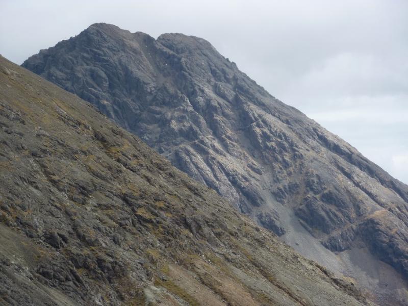
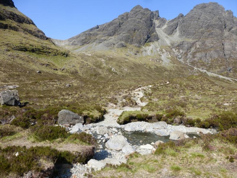
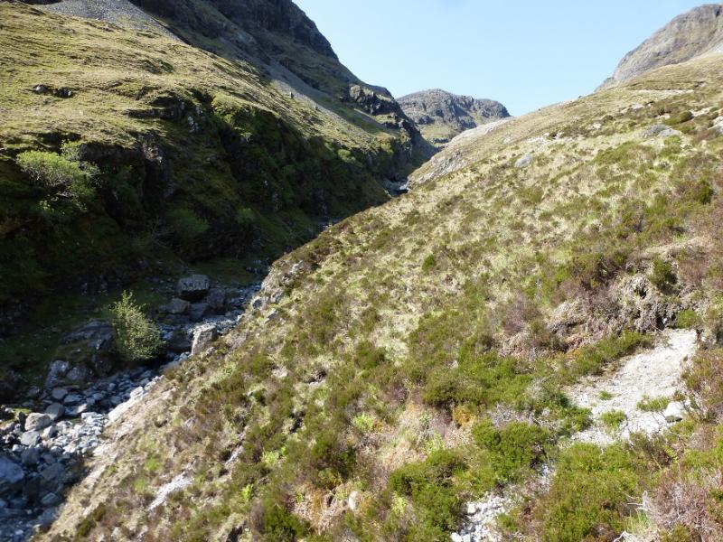
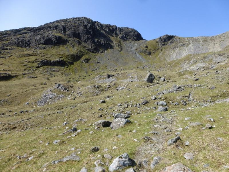
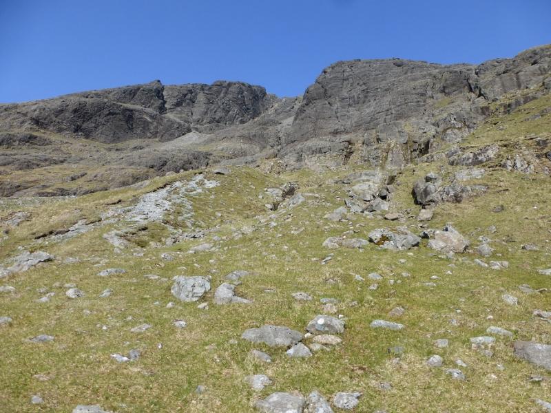
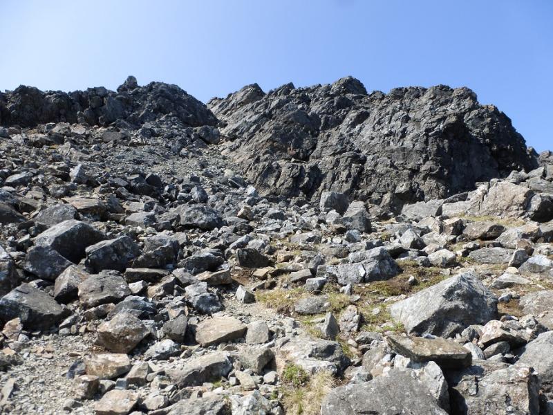
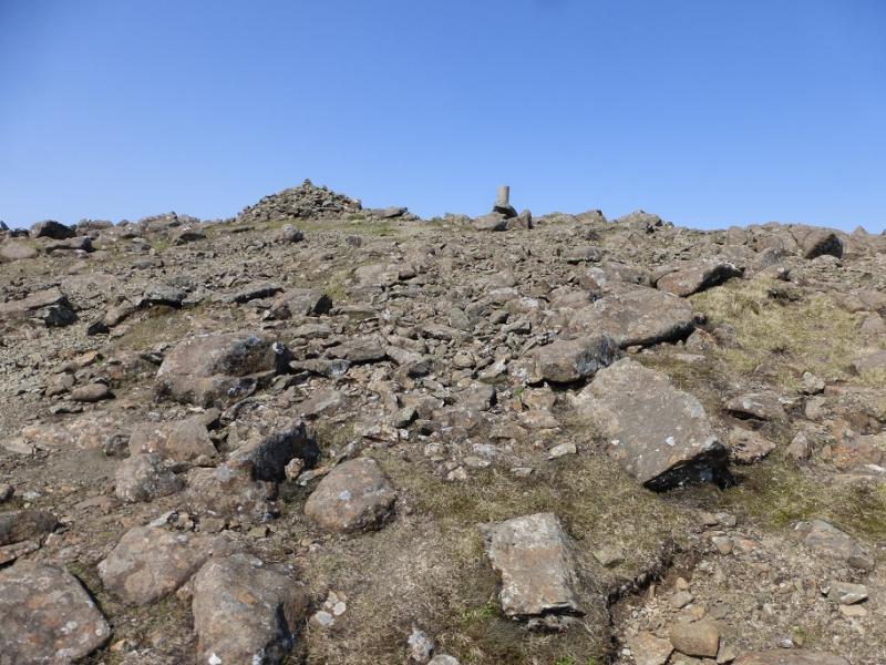
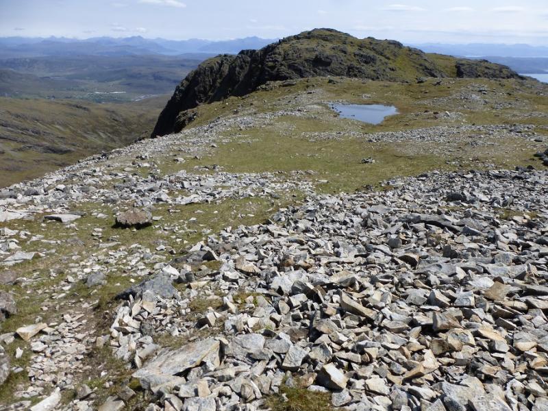
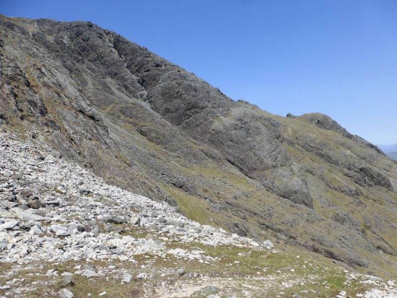
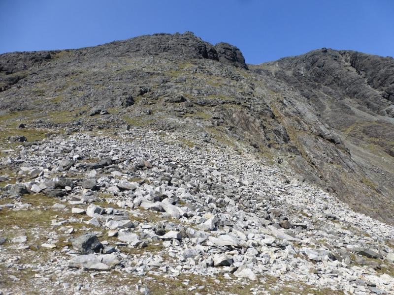
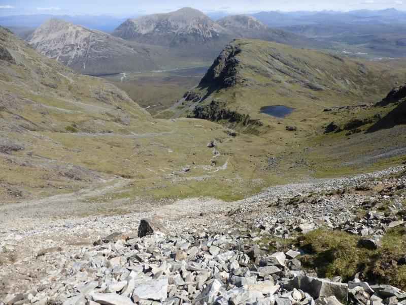
(1) Walk back, N, along the road and cross the bridge then take the obvious path heading W on the N side of the Allt na Dunaiche. Follow the path, through gentle woodland at first then oo to the open hill. In a couple of places, there is a steep drop on the left. Later on, cross the river (may be difficult in a wet spell) then cross back again soon after. The path now climbs more steeply and is looser as well as heading SW. The angle eases as lower Coire Uaigneich is entered. The continuation is not obvious from here and many people mistakenly cross the corrie to ascend scree tojoin the far ridge which is the SE ridge and leads to the S Top. The correct route is not to cross the corrie floor but to follow the path up a grassy rib. Higher up, the path becomes indistinct but curves around to the right through a short wet section before becoming obvious again. Follow the path up; it is steep, loose and eroded in places but, eventually, the crest is reached and the path goes left at a more gentle angle with much less scree. It leads to a rocky groove with an awkward boulder at the bottom but it is not too difficult to by pass and ascend the groove. There may be an easier way on the other side of a rocky rib to the left of the groove as, once one is at the top of the groove, a path appears from this direction. Continue up and soon reach the cairn and circular trig point which is the summit of Bla Bheinn, 928 m.
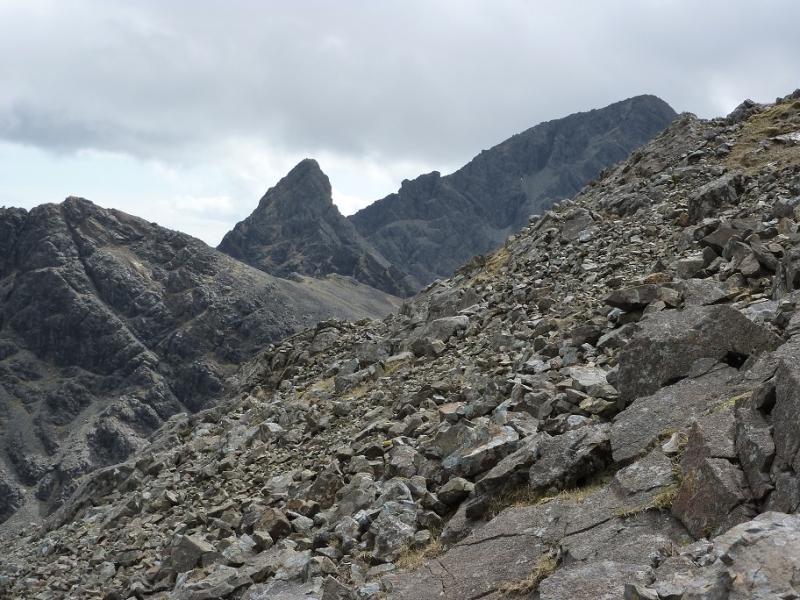
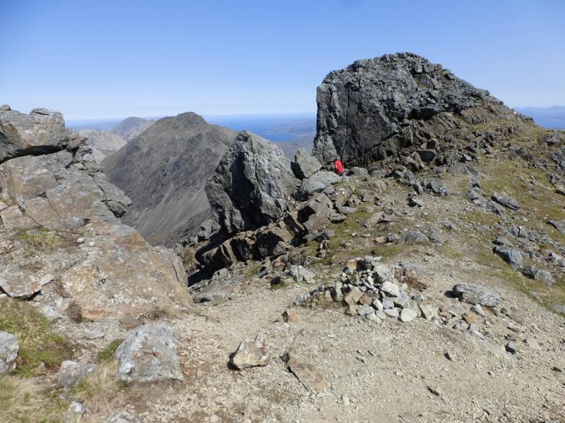
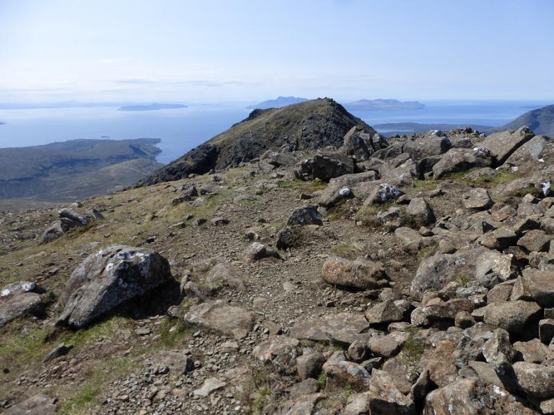
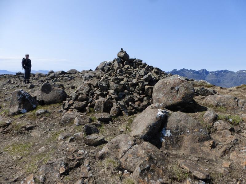
(2) Walk S, descending on a fairly obvious path to the dip between the two summits. There are various ways up to the S Top from here but the most frequented goes up the right hand side of a gully on a rocky ledge which has a significant drop on its left. The ledge is wide enough to walk on and the rocks above it offer plenty of reassuring hand holds; it is more of an exposed walk than a scramble. There is a rock to step over about halfway but it is straightforward. The ledge section is short and one is soon ascending up to the large cairn which marks Bla Bheinn's South Top, 926 m.
(3) Walk S from the summit for about 100 m then go left down an obvious path which is the start of the SE ridge. At first, this is pleasant but lower down becomes increasingly steeper, looser and more eroded so care is needed. There is the occasional small cairn especially near the top. At the foot of the ridge, there is more level and more grassy ground with a lochan beyond. Before the lochan, turn left at a cairn then leave the crest at the second cairn and follow a path down through the scree (not as bad as the lower SE ridge) to reach the corrie floor. Aim for the obvious two large boulders then continue and soon rejoin the outer path.
Notes
(a) This walk took place on 26th May, 2016 and twice before, once including the Clach Glas traverse for which climbing skills are needed or a guide.
Photos - Hover over photo for caption. Click on to enlarge. Click on again to reduce.