Get Lost Mountaineering
You are here: Scotland » 17 Islands » Skye
Beinn Dearg Mhor & Beinn na Caillich from Strollamus
Beinn Dearg Mhor & Beinn na Caillich from Strollamus
Start/Finish
A rough lay by a few hundred metres east of Strollamus opposite a very high wall with a house behind it. Strollamus is about 3 miles west of Broadford on the Sligachan road.
Distance/Time
10 km. About 5 – 6 hours.
Peaks
Beinn Dearg Mhor, 709 m, NG 587 228.
Beinn na Caillich, 732 m, NG 601 233. OS sheet 32.
Introduction
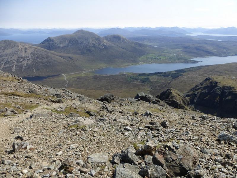
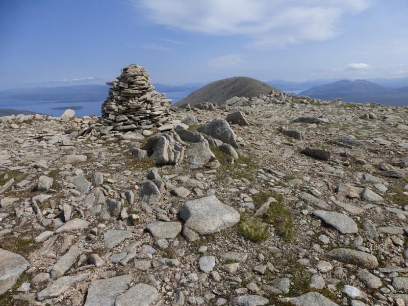
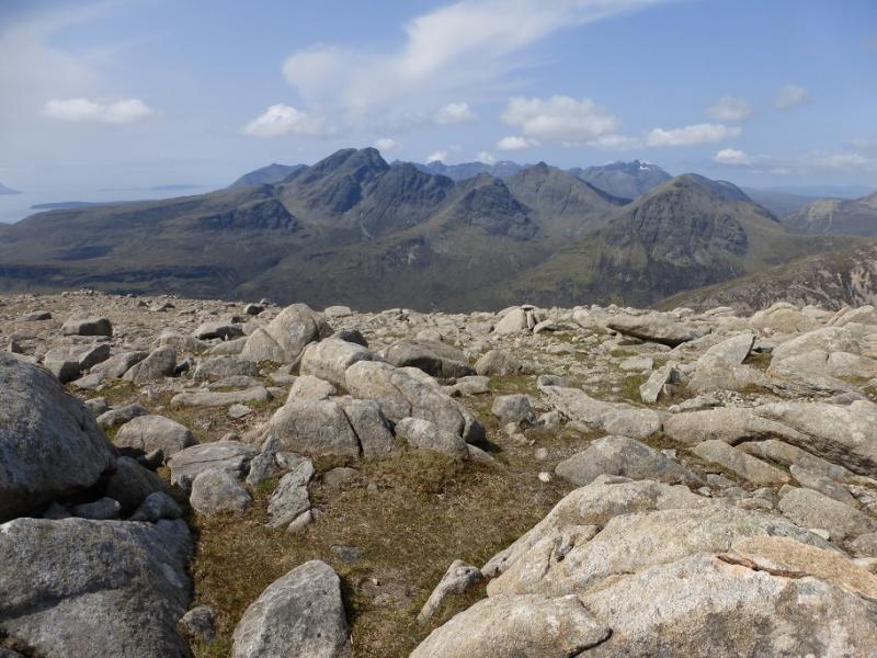
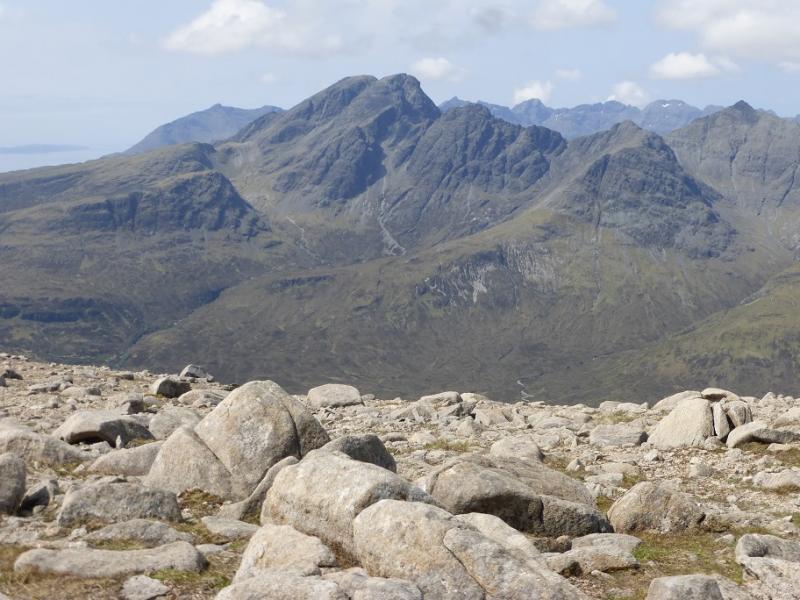
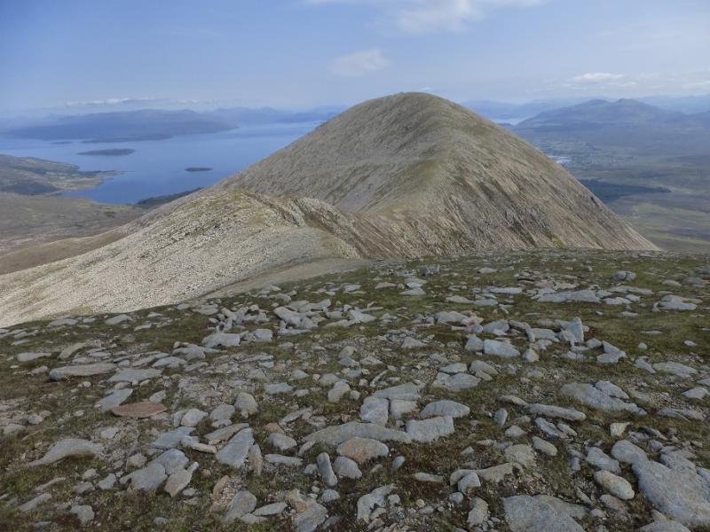
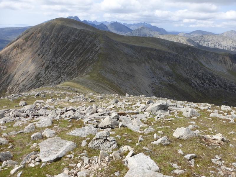
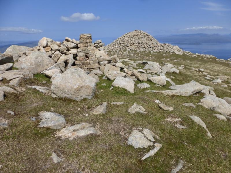
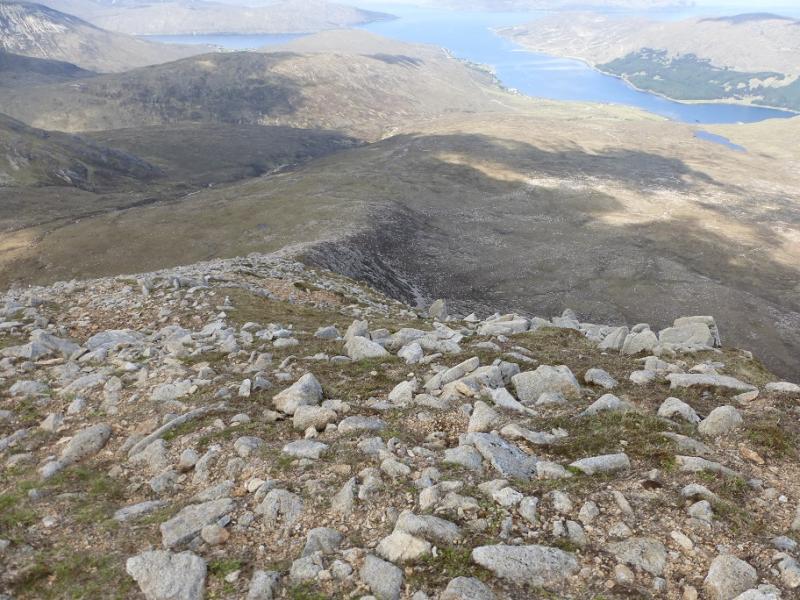
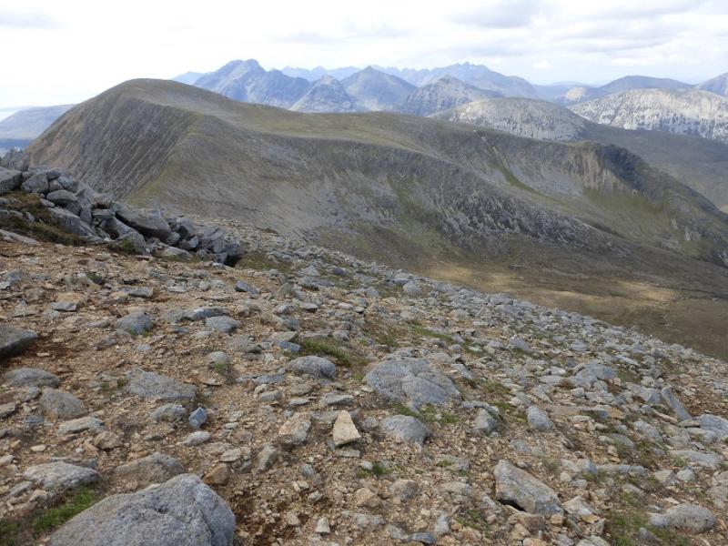
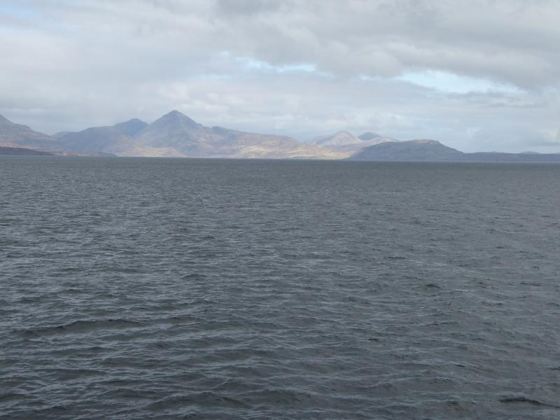
These two hills offer a good day when higher hills, especially the Black Cuillin are in cloud. They offer excellent views to the Glamaig range and to the Bla Bheinn (Blaven) range as well as to Raasay and the mainland beyond. There is a huge cairn on the summit of Beinn na Caillich which may be from ancient times.
Route
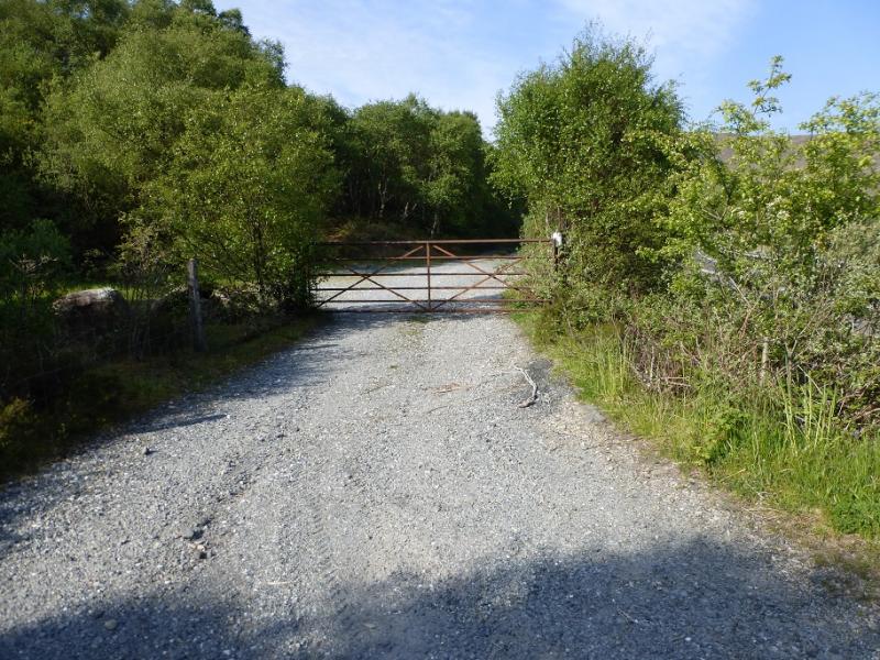
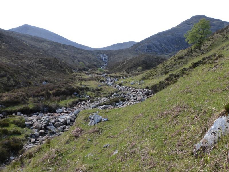
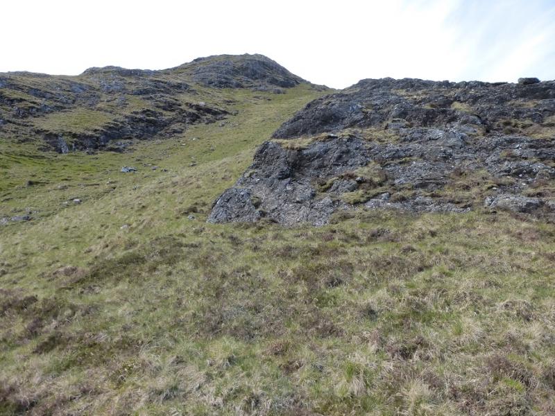
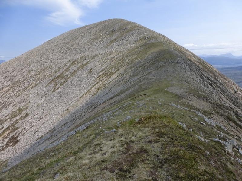
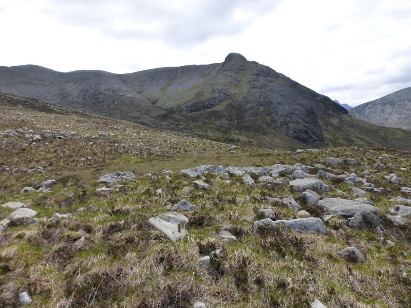
(1) From the lay by, walk W for about 200 m, to reach the start of a track which leaves the road and heads almost due W and would eventually reach Luib. After abaout 800 m, cross a bridge then take the path on the W side of the Allt Strollamus and follow it S for about 1 km then follow the left fork, fainter path, up the Allt na Teangaidh where there is an old water works weir further up. The ground is now rougher and wetter. Ahead is an obvious water slide with the prominent crags of Creagan Dubh to the right. There are scrambling options on the crags, many of which are slabby. For walkers, one can stay to the right of the water slide then head up the steep grassy slope gradually going right. Follow this to its top then continue along the undulating ridge, over much easier ground, to reach the large cairn which marks the summit of Beinn Dearg Mhor, 709 m. A possible better alternative is to ascend the easy angled ramp on the W side of Coire Reidh but this has not been checked out. It is clearly less steep than the steep grassy slopes.
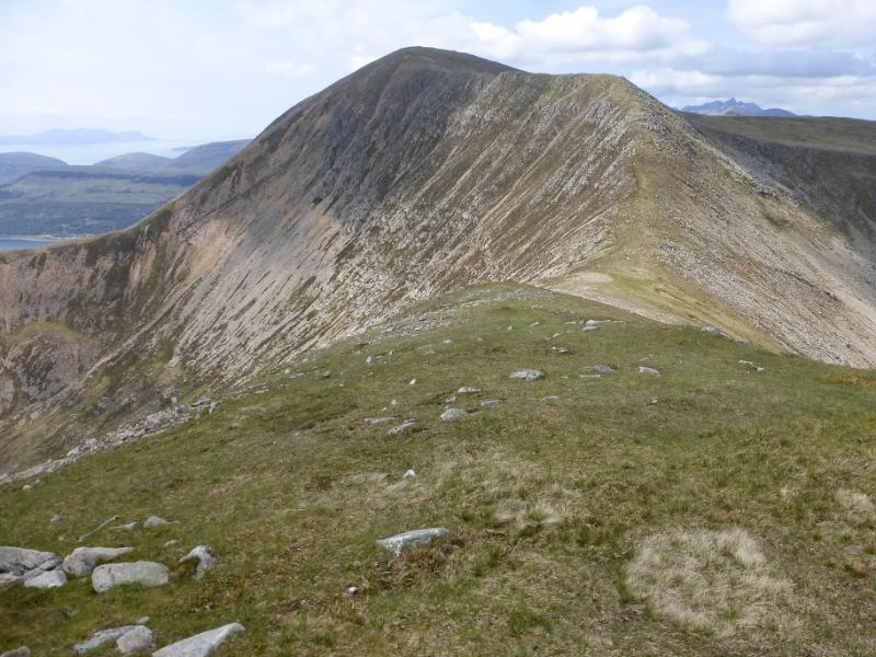
(2) Descend NE down a path on a well defined ridge which curves around to the E then ascends the W ridge of Beinn na Caillich where there are a few scree sections. Higher up, the route goes NE, with the angle easing, and soon the trig point is reached which marks the summit of Beinn na Caillich, 732 m. A little further is a huge cairn.
(3) Descend the NNW ridge which soon becomes well defined but has several boulder fields. The best route, with a path, is to keep well to the right and this will avoid most of the rocky ground until the angle eases and one is on a mainly grassy gentle ridge to the E of the Allt na Teanagaidh. There is actually a faint path along this ridge which gradually drifts off the left side and can be followed, albeit faint in places, to reach the outward track E of the Allt Strollamus which is then followed back to the start.
Notes
(a) This walk took place on 27th May, 2016, and about 15 years earlier from Old Corry which is not as good a route being rougher, steeper and wetter.
Photos - Hover over photo for caption. Click on to enlarge. Click on again to reduce.