Get Lost Mountaineering
You are here: Scotland » 03 North-west Argyll, Appin and Glencoe » Glencoe
Sgor na h-Ulaidh
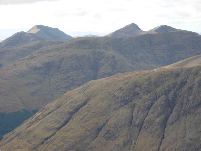
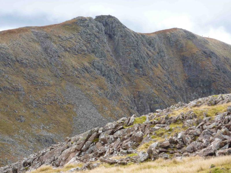
Sgor na h-Ulaidh from A82 at bottom of Glencoe
Start/Finish
Unofficial car park on A82 just past the bridge over the Allt na Muidhe at the foot of Glencoe at about NN 120 564 and before Signal Rock car park.
Distance/Time
15 km Approx 7 hour
Peaks
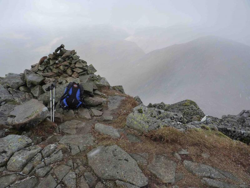
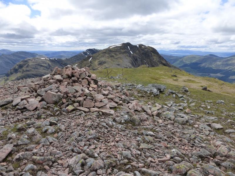
Sgor na h-Ulaidh, 994 m, NN 111 518.
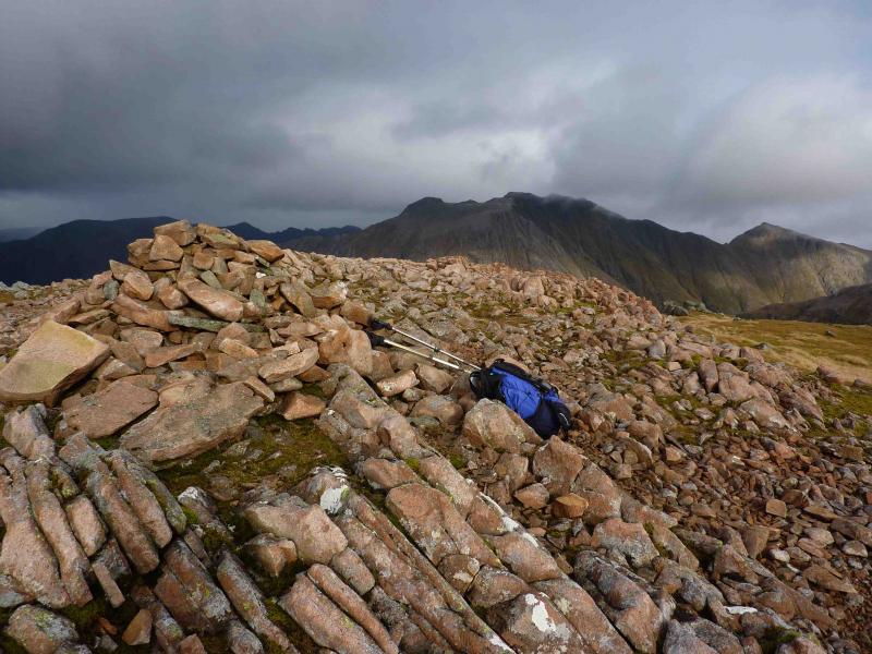
Stob an Fhuarain, 968 m, NN 118 523. OS Sheet 41.
Introduction
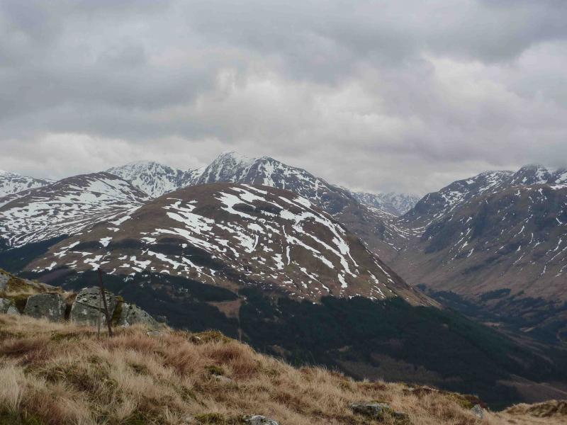
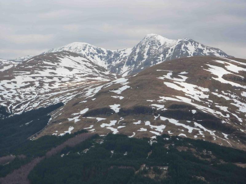
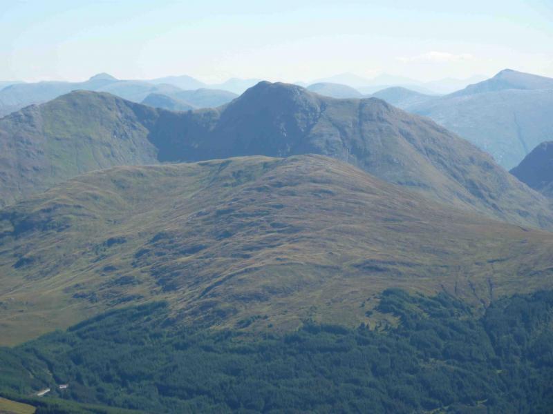
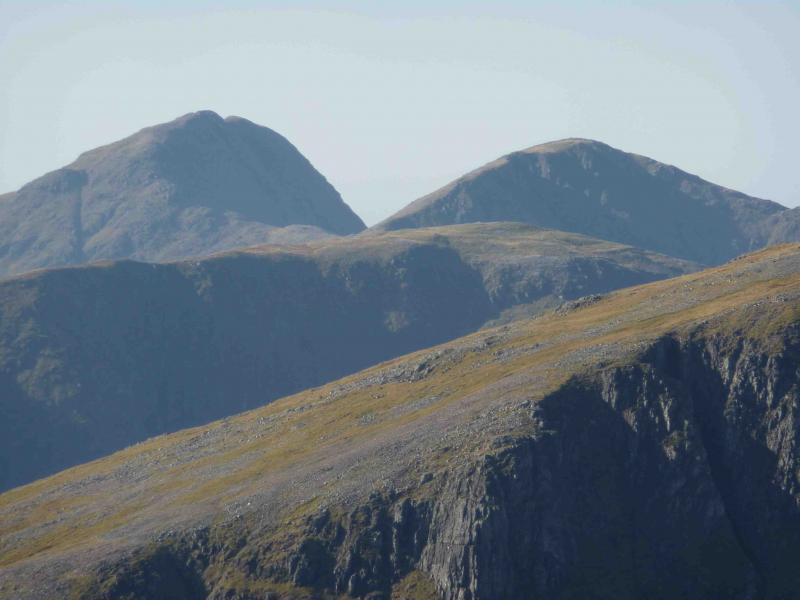
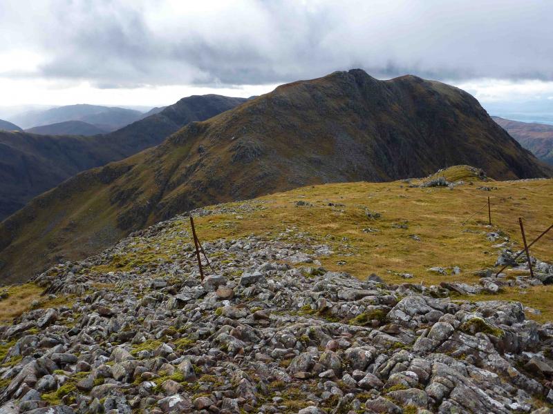
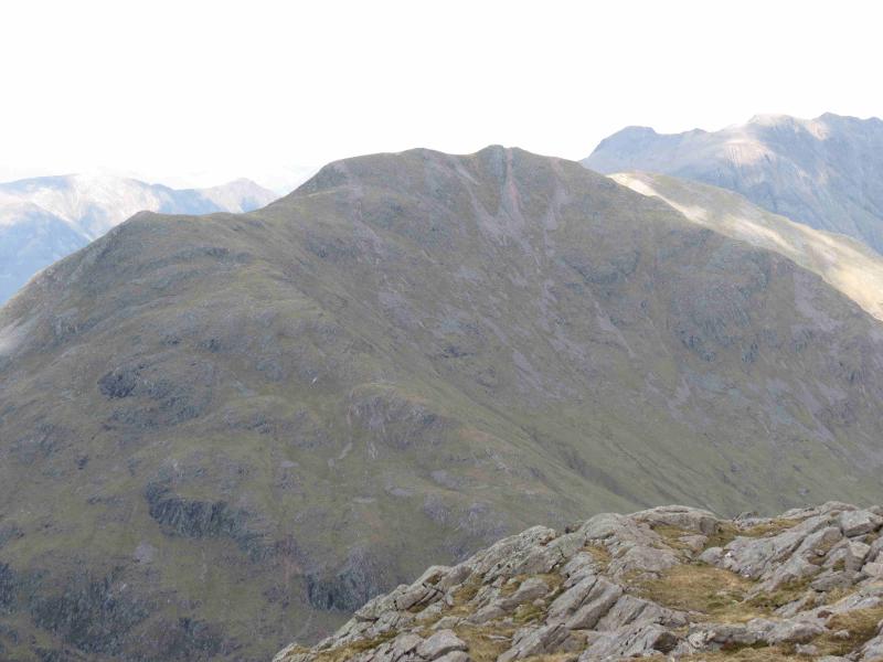
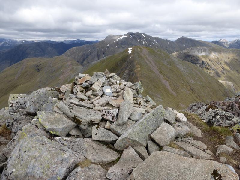
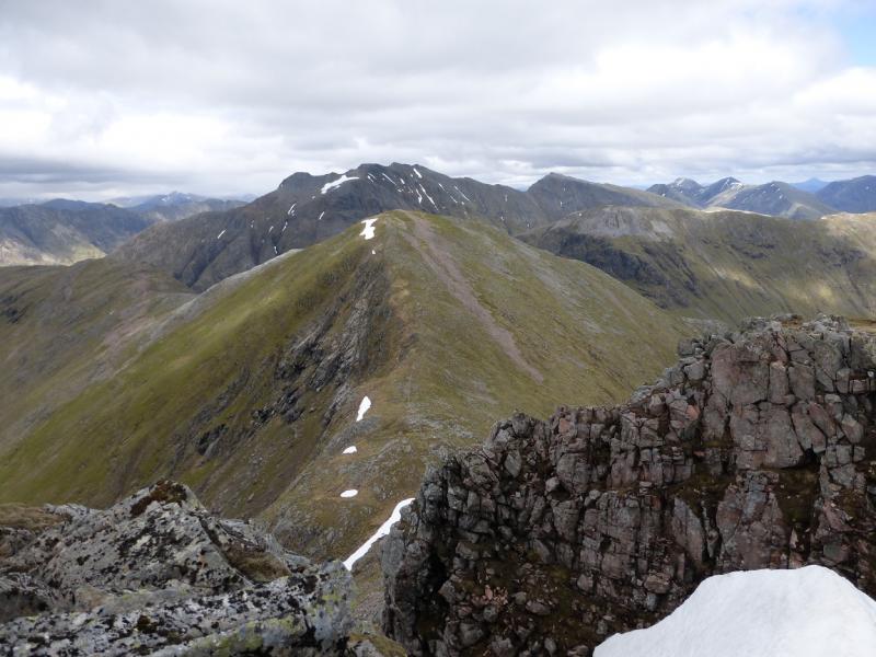
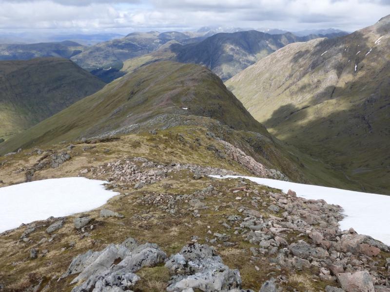
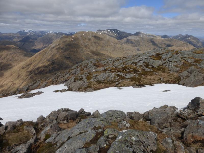
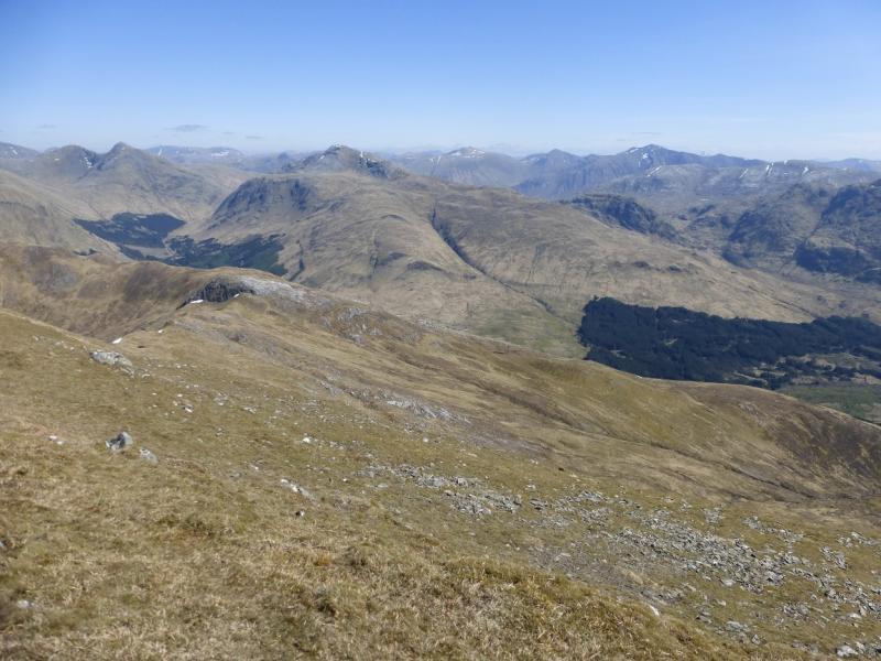
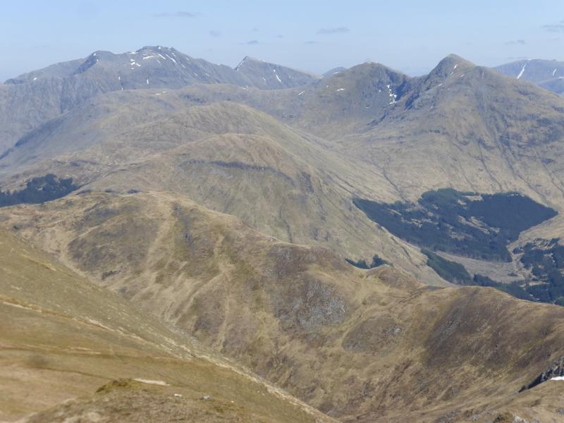
This is a fairly straight forward walk, in non-winter conditions, although there are some steep grassy sections. There are excellent views of the Bidean massif, the other Glen Etive peaks, Beinn Fhionnlaidh, Aonach Eagach, Ben Nevis and Beinn a’ Bheithir. This route does not involve any retracing of steps whilst on the actual mountain. The only retracing is on the outward track and path.
Route
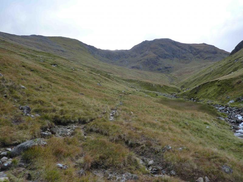
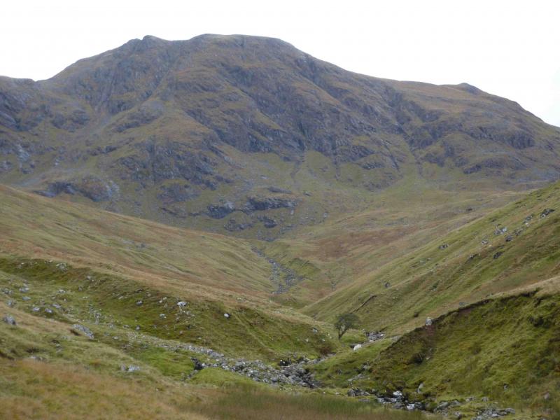
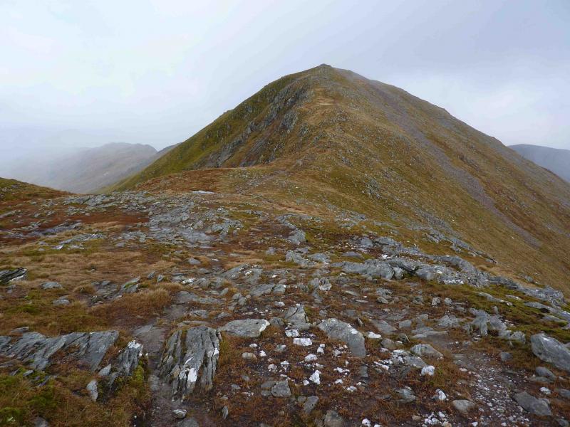
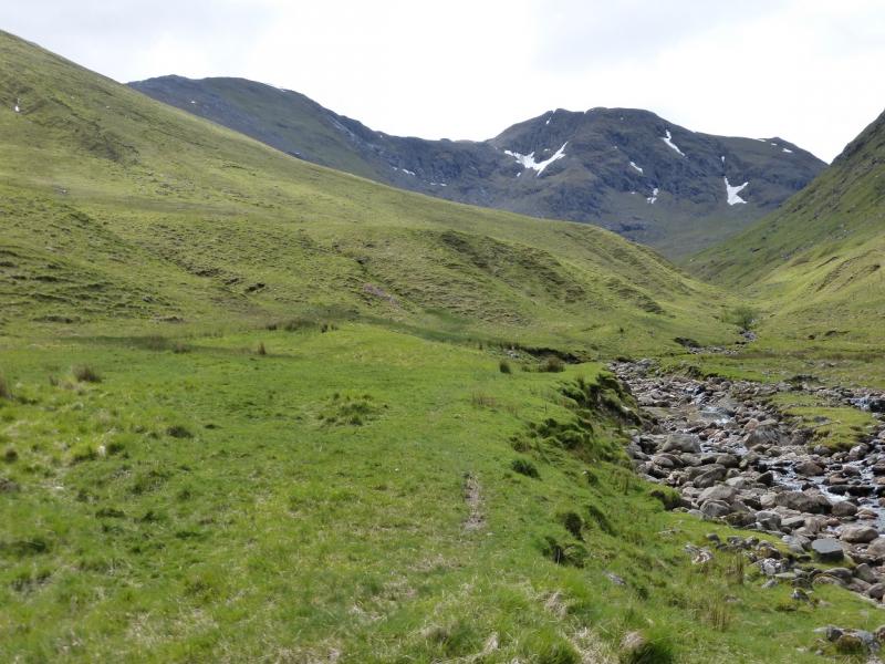
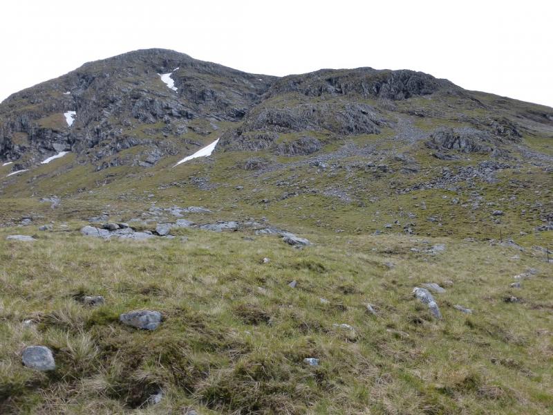
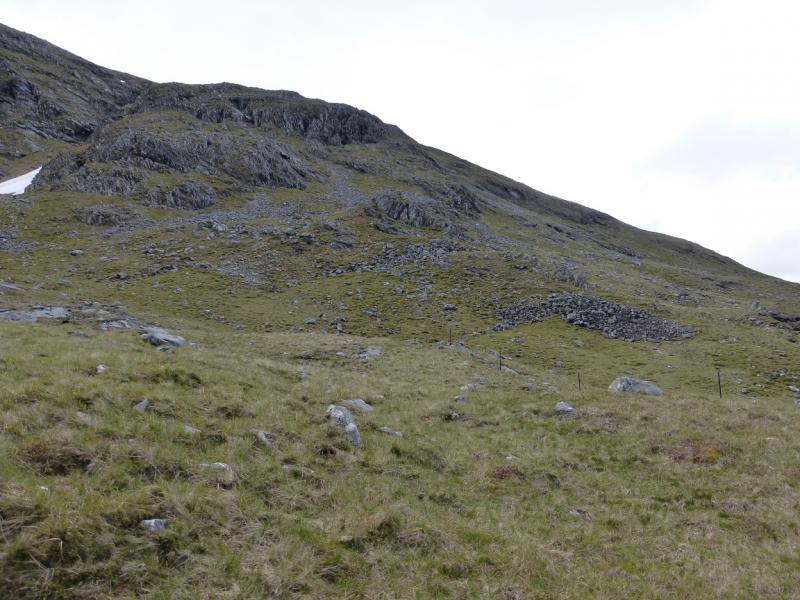
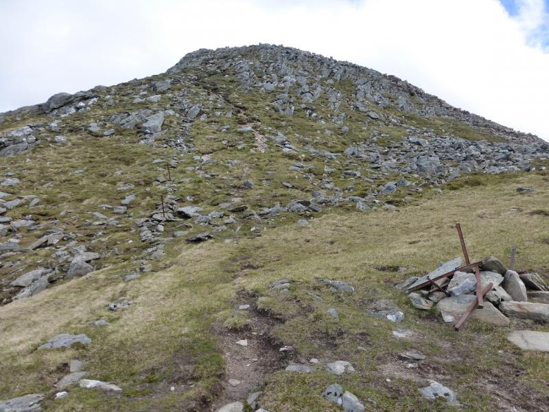
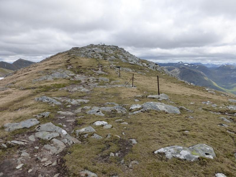
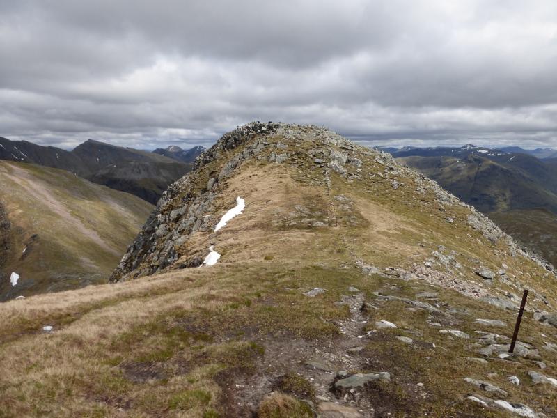
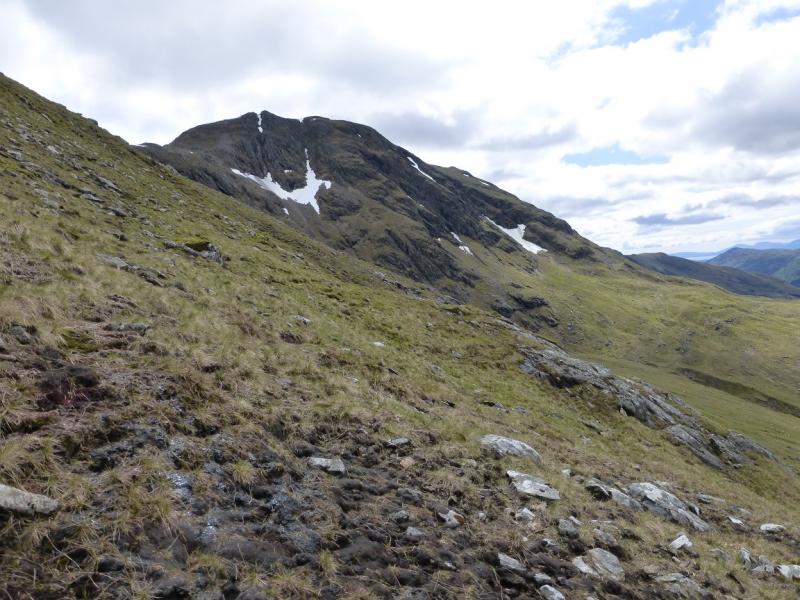
(1)Walk down the road (towards Glencoe village), cross the bridge over the Allt na Muidhe and take the track up Gleann leac na-muidhe. Shortly after the track crosses the river (bridge), take the short diversion around the cottages to rejoin the track higher up. Continue past the farm buildings to the end of the track which is further than shown on the 1991 OS map. When the track becomes a footpath, follow it S up the E side of the Allt na Muidhe. This path has a few boggy sections. When the path becomes faint, cross the burn and head SW up easy grassy slopes to reach the grassy bealach between Meall Ligniche and Sgor na h-Ulaidh. Climb roughly S on mainly grassy slopes which are steep in places – trending right, W, to find easier ground and eventually reach the crest of the ridge leading to Corr na Beinne. Avoid going around the ridge on to the Glen Etive side as the ground is generally steeper and looser. Once on the crest of the reasonably well defined ridge, continue ascending it until the gradient eases. Walk across a short grassy plateau then up easy slopes, following a good path, to reach the large summit cairn of Sgor na h-Ulaidh, 994 m.
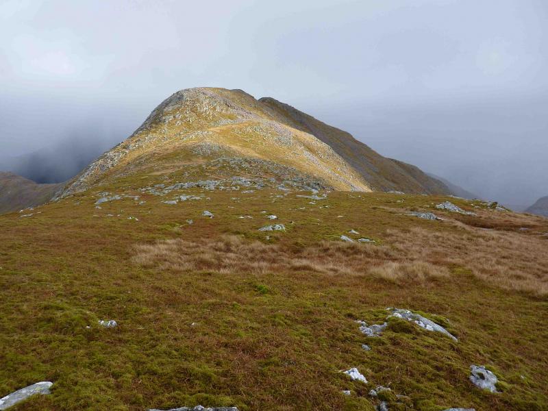
(2) Descend slopes which are initially rocky and bouldery but soon reach a good path which zig-zags down, roughly NE, to reach a grassy bealach. Ascend the other side, still on a good path, to soon reach the medium cairn of Stob an Fhuarain, 968 m.
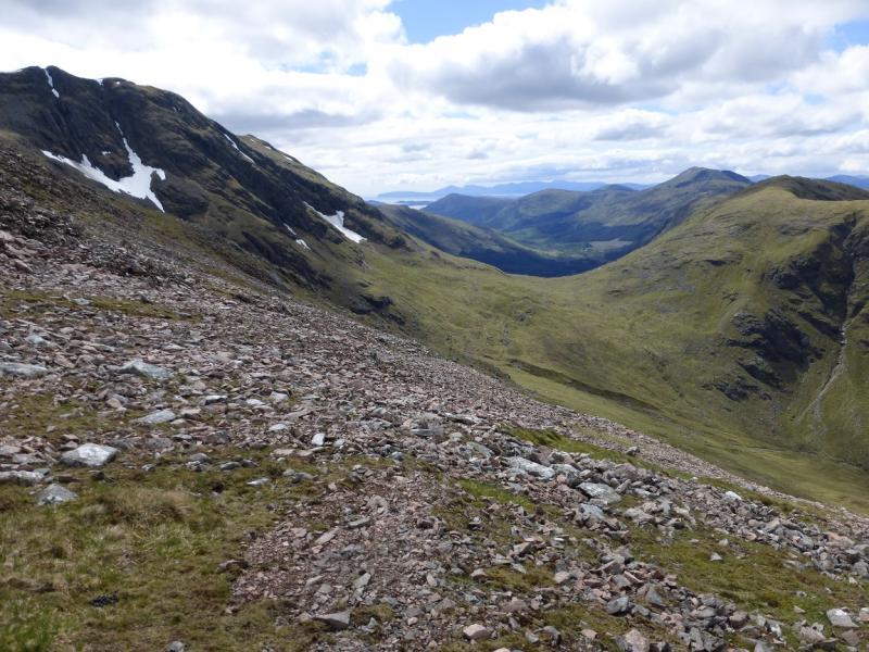
(3) Descend N on a good path to a bealach then pick a way (no paths) NW down mainly grassy slopes to reach the path along the Allt na Muidhe and retrace the outer route.
Notes
(a) This walk took place on 19th October, 2010
(b) An alternative ascent of Sgor na h-Ulaidh from its bealach to Meall Ligniche roughly follows the line of old fence posts then drifts left around the base of some crags before picking a way up through broken and loose rock to rejoin the line of fence posts. There is a faint path most of the way, including through the broken rocks, but there is some exposure and this is not for the faint hearted even in summer comditions.
Photos - Hover over photo for caption. Click on to enlarge. Click on again to reduce.