Get Lost Mountaineering
You are here: Scotland » 11 Kintail and Glen Affric to Loch Ness » Glen Affric to Loch Duich
Mullach na Dheiragain & Sgurr nan Ceathreamhnan from Killilan
Mullach na Dheiragain & Sgurr nan Ceathreamhnan from Killilan
Start/Finish
Car park at the entrance to the Inverinate Estate at Killilan. The signed turning for Killilan is about a mile west of the bridge at Dornie. The narrow road follows the NW side of Loch Long (well named!) for about 5 miles. The car park is just after the right turn for Cams-luinie which is just after a major bridge over the River Ling. There is a fair amount of parking but it can fill up early as many long walks start from here. Dornie is about 9 miles east of the Kyle of Lochalsh on the A87 road from Invergarry.
Distance/Time
20 km bike + 20 km walk. About 12 hours.
Peaks
Mullach Sithidh, 974 m, NH 082 264.
Mullach na Dheiragain, 982 m, NH 080 259.
Carn na Con Dhu, 967 m, NH 072 241.
Sgurr nan Ceathreamhnan, 1151 m, NH 057 228.
West Top, 1143 m, NH 053 228.
Stuc Bheag, 1075 m, NH 053 237.
Stuc Mor, 1041 m, NH 053 242.
Stuc Fraoch Choire, 918 m, NH 052 253. OS Sheet 25.
Introduction
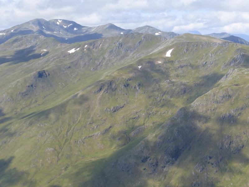
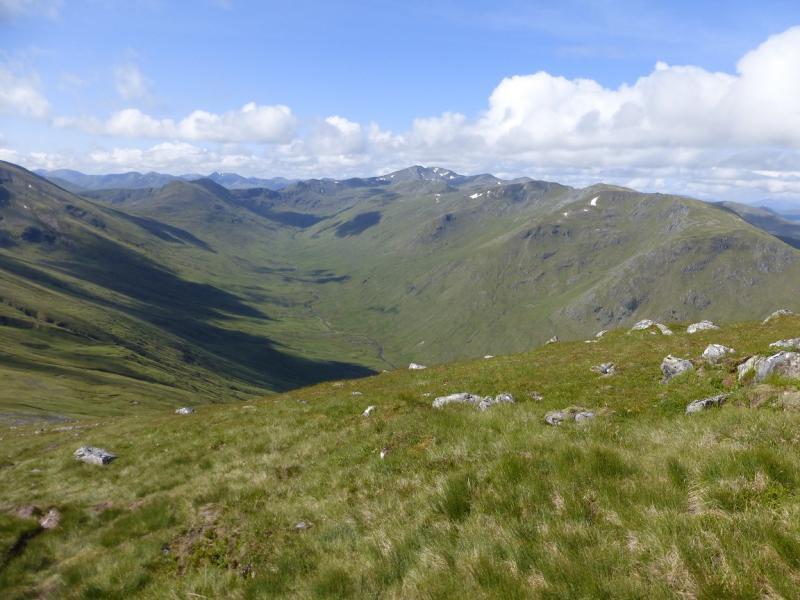
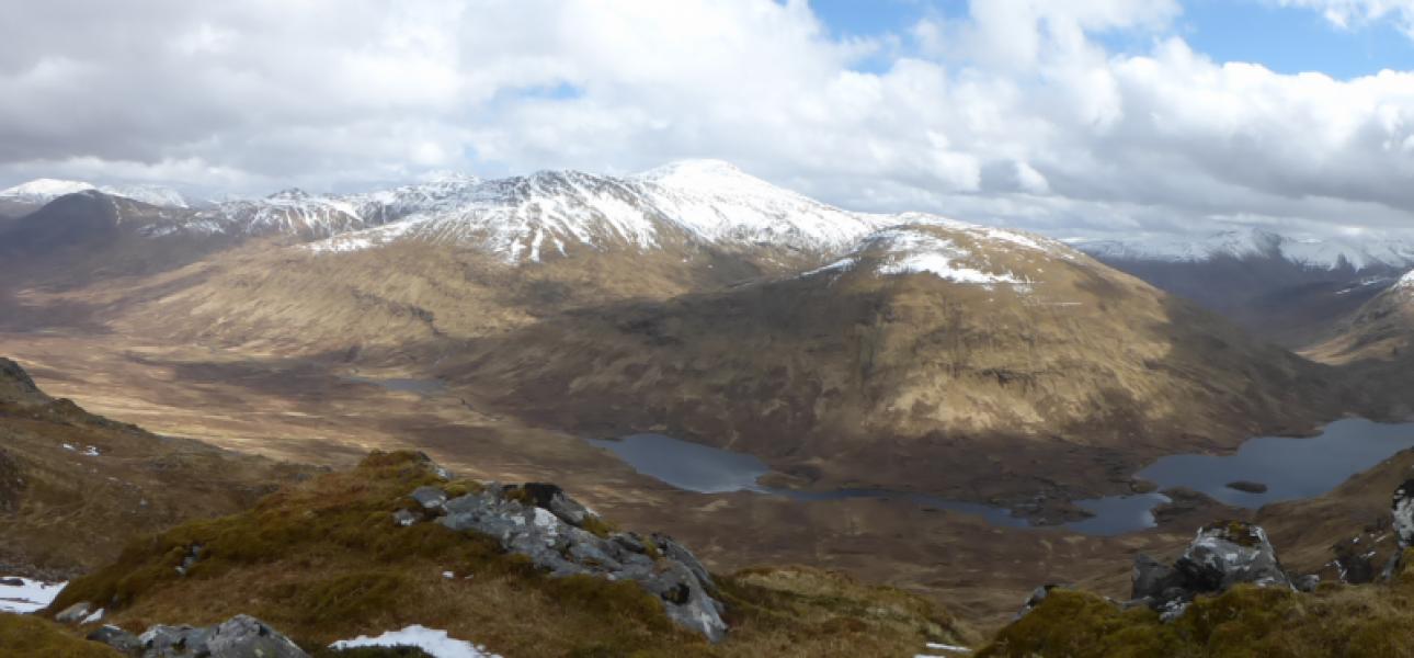
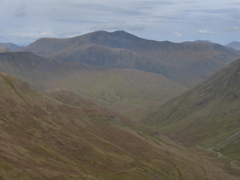
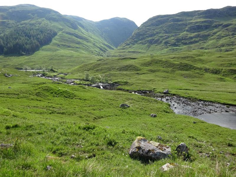
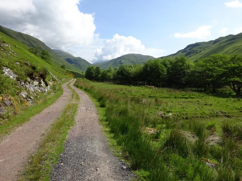
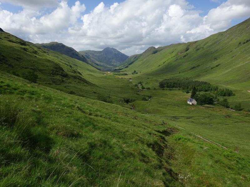
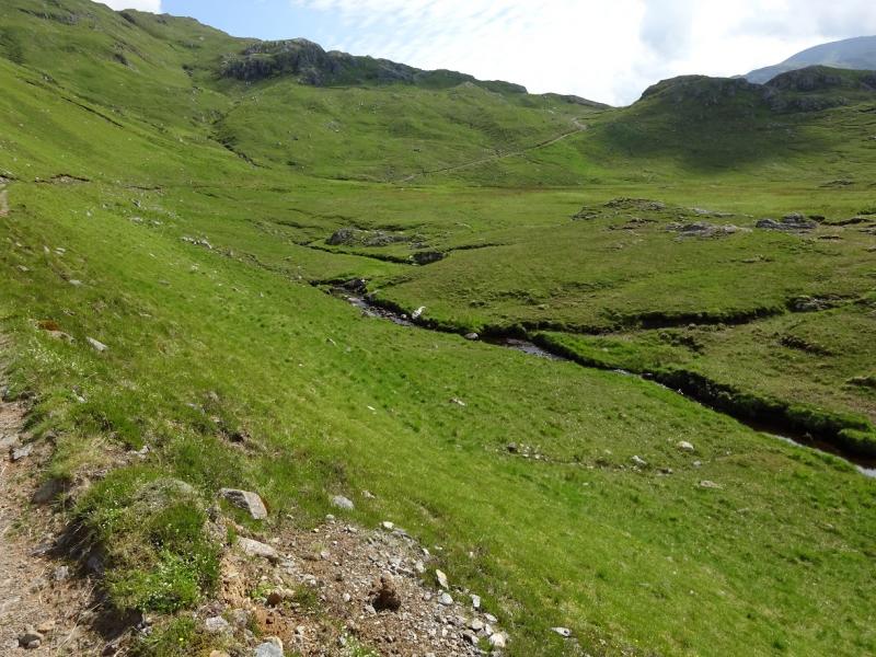
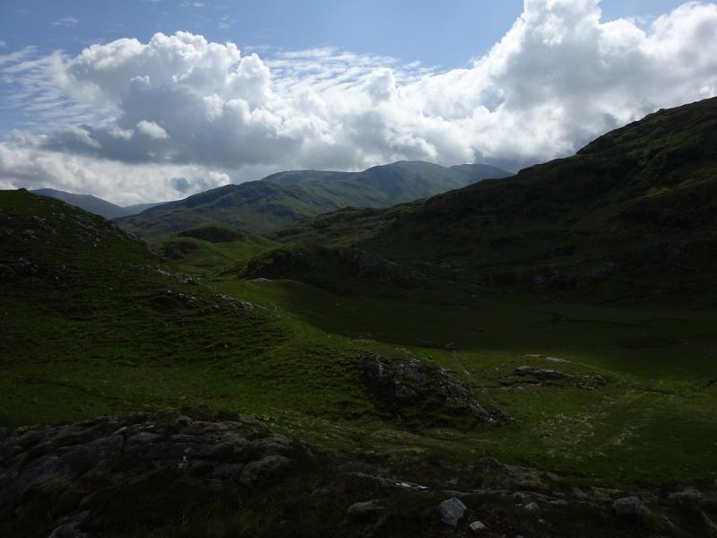
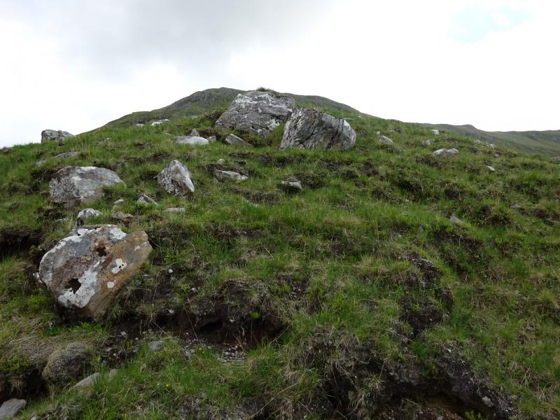
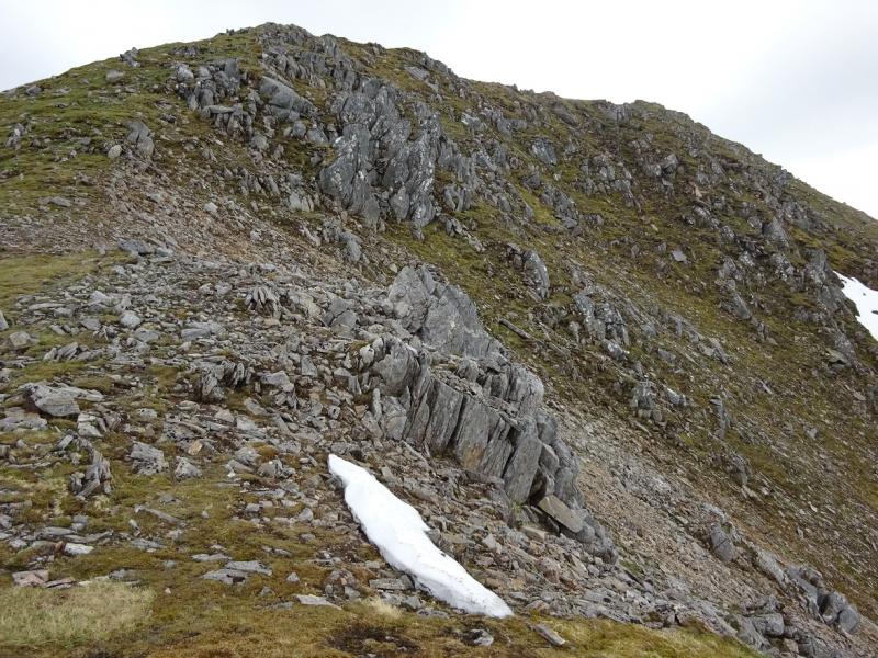
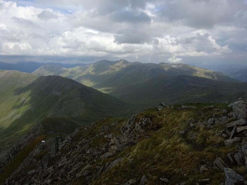
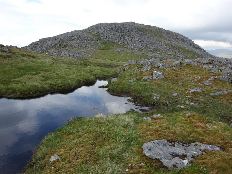
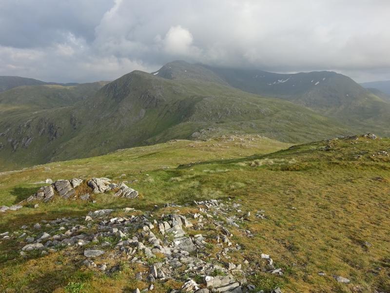
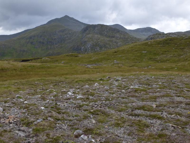
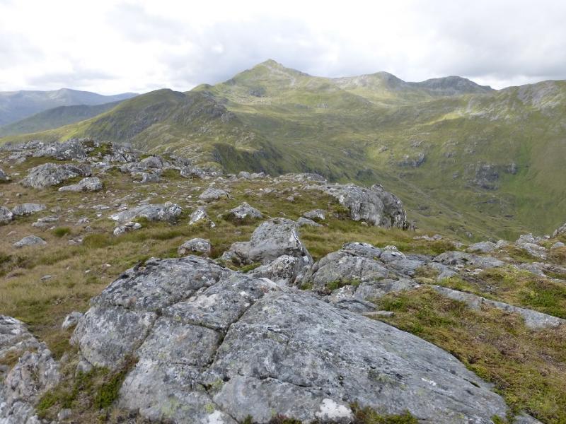
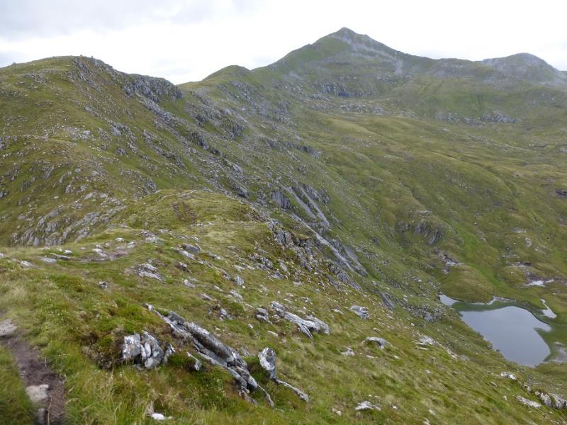
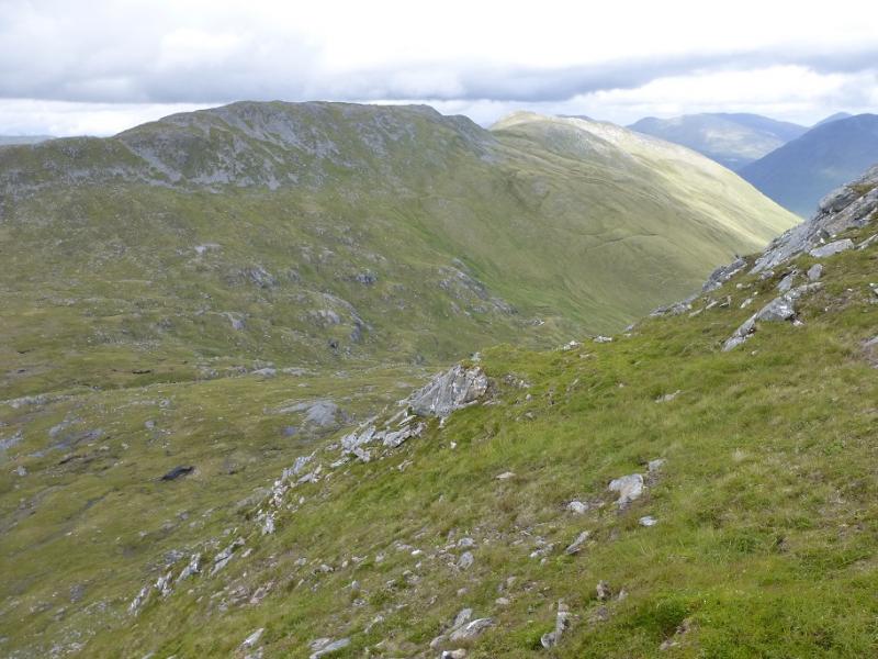
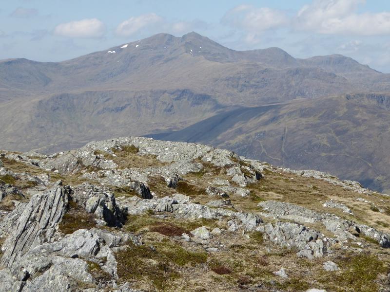
This is a massive walk which is tough in places and would be much longer without a bicycle. Glen Elchaig is a lovely glen which is pleasant to cycle up with no major climbs and part of the way is a tarmac road. There are paths for much of the way although the ascent described up on to the crest of Mullach na Dheiragain is pathless. It can be difficult to locate and follow the path coming off the north end of Creag Ghlas as the small lochan it is shown as starting at did not seem to be there on 9/6/16! Once on Stuc Fraoch Choire, do not underestimate the time to return to the bike, it is a long way down! Note that the eastern Munro top (Stob Coire na Cloiche, 915 m, NH 075 227.) of Sgurr nan Ceathreamhnan is not included in this route as it would add more to an already very long day. This will be included when An Socach is revisited. Do save this walk for a very clear day, not just for easier navigation, but because the views are superb in all directions but especially to the other Glen Affric hills to the east and the Killilan Forest hills. These high hills can also hold snow well into late Spring.
Route
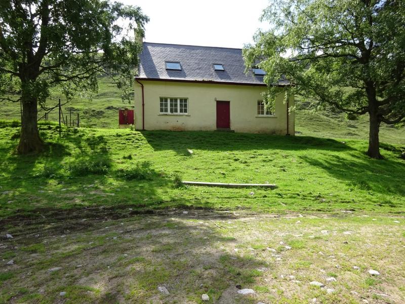
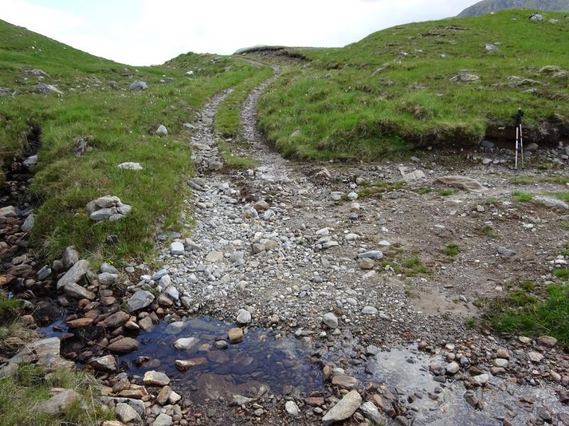
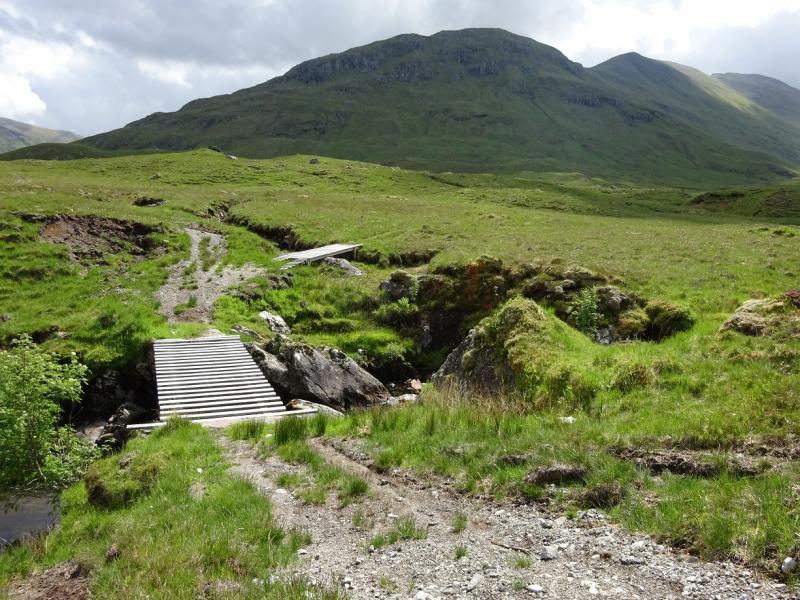
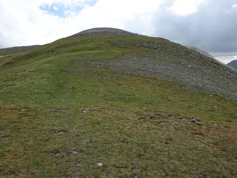
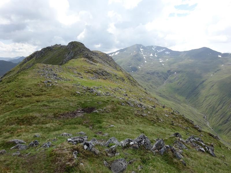
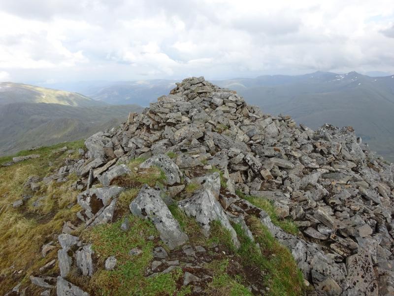
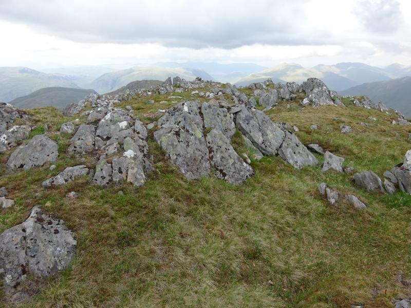
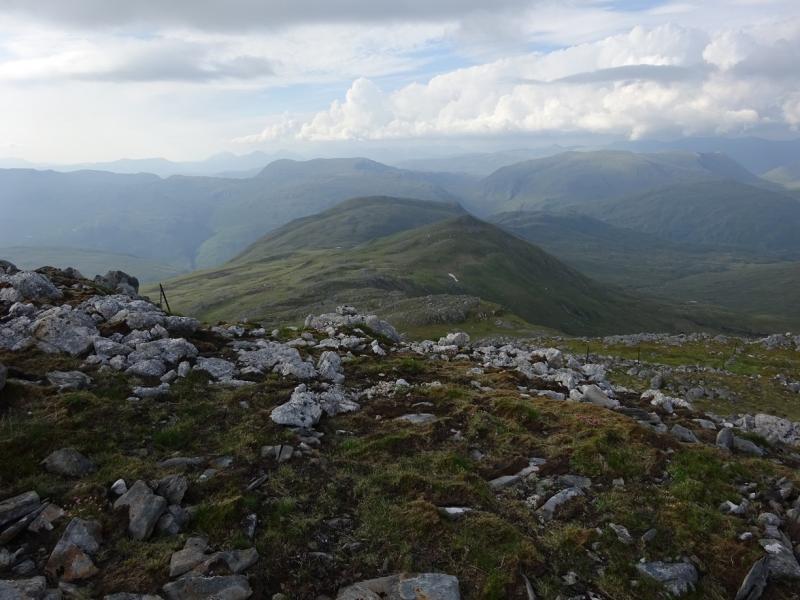
(1) Cycle up Glen Elchaig to Carnach which is just past Loch na Leitrach. Leave bikes here. Continue on foot for about 2 km to Iron Lodge then take the track which climbs steeply heading roughly NE then SE. Follow this past Loch an Droma until it splits then take the branch going S. A bridge gives an easy crossing of an otherwise difficult river. Continue, S, down Gleann Sithidh on a reasonable track. Many continue to the end of the tracj then pick a way up on to the crest but it is possible to pick a way up a steep, but mainly grassy ridge with any crags easily avoided, to reach the crest which is then followed S and a well defined crest leads up to a flat area where a medium cairn marks the summit of Mullach Sithidh, 974 m.
(2) The main summit is only about 1 km away. Descend roughly S on the obvious path then up to a similar top where a medium cairn marks the summit of Mullach na Dheiragain, 982 m.
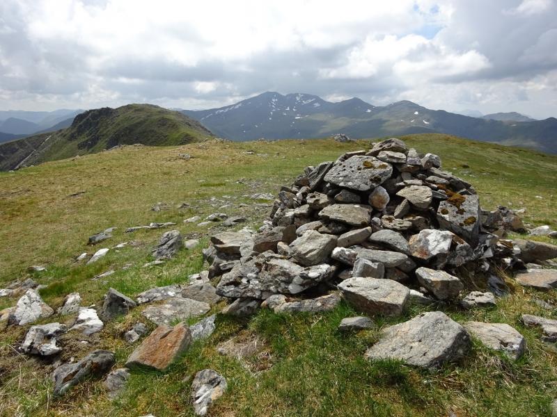
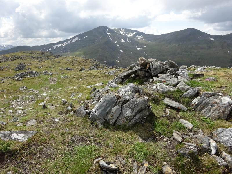
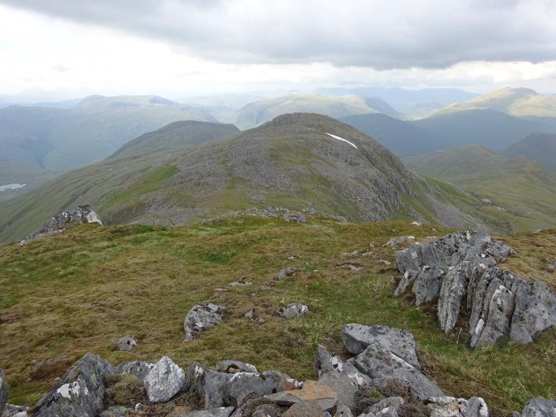
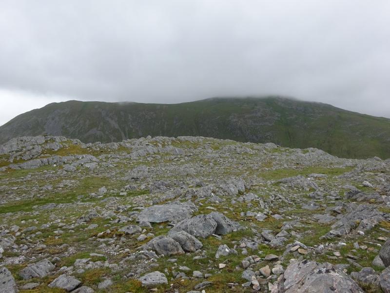
(3) Continue along the crest, descending roughly SSW on the still obvious path to reach a dip on the ridge then make a more gradual ascent up a long ridge where the highest point is not that obvious but is about the last top on the crest. A small cairn marks the summit of Carn na Con Dhu, 967 m. It would not be obvious in mist.
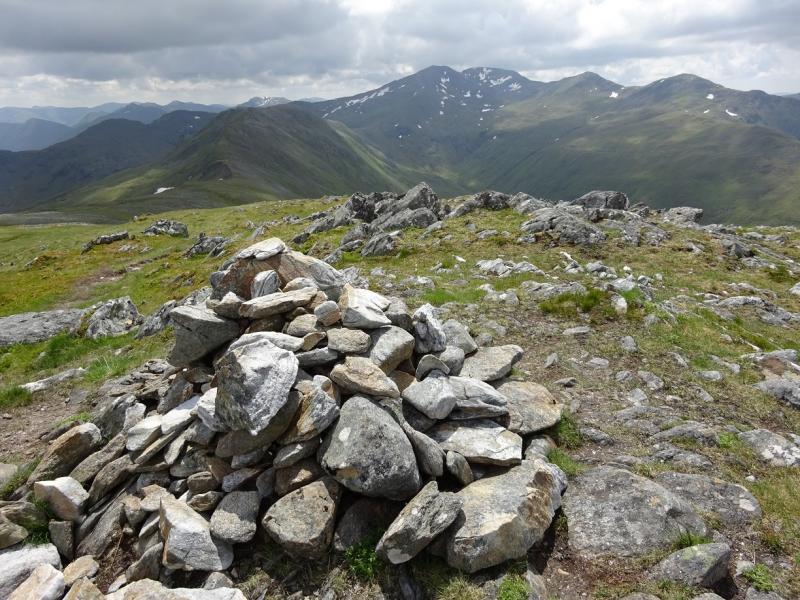
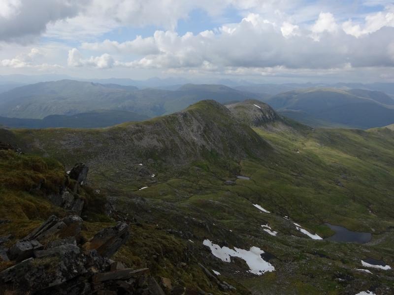
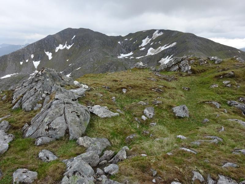
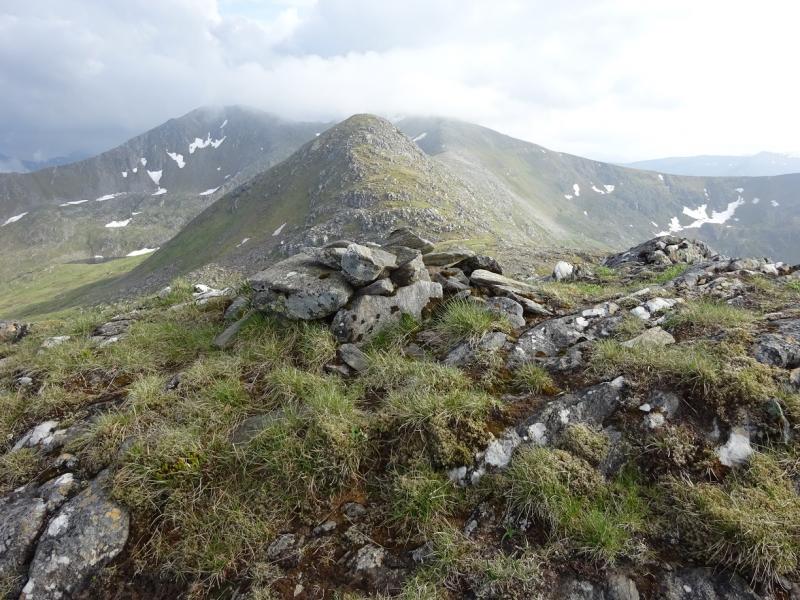
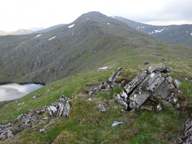
(4) Continue along the crest and descend down to the col. The continuation up the steeper NE ridge of Sgurr nan Ceanthreamhnan is very obvious. A large cairn marks the summit of Sgurr nan Ceathreamhnan, 1151 m.
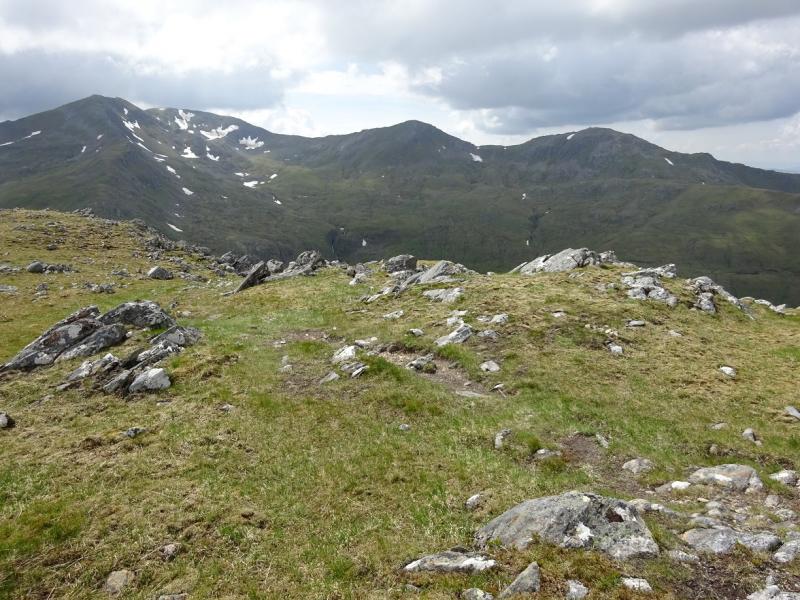
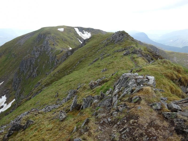
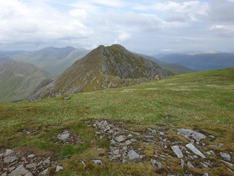
(5) The West top is less than 1 km away along a narrow crest and could be awkward for the inexperienced under winter conditions. The route is obvious and there is a path which leads up on to the flat suumit area where a medium cairn marks the summit of Sgurr nan Ceanthreamhnan, West Top, 1143 m.
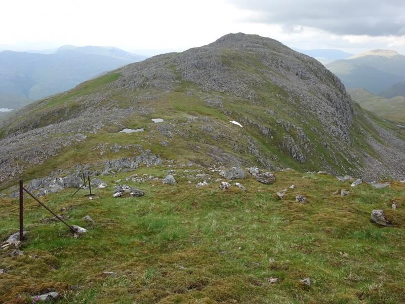
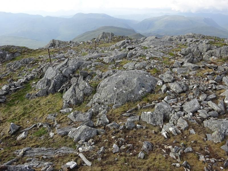
(6) From here onwards, there is a path but not as distinct as previously. Some old fence posts help but, in clear weather, the route is obvious with a straightforward descent then short ascent to the small outcropped plateau. A small cairn marks the summit of Stuc Bheag, 1075 m.
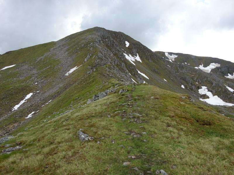
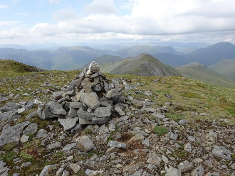
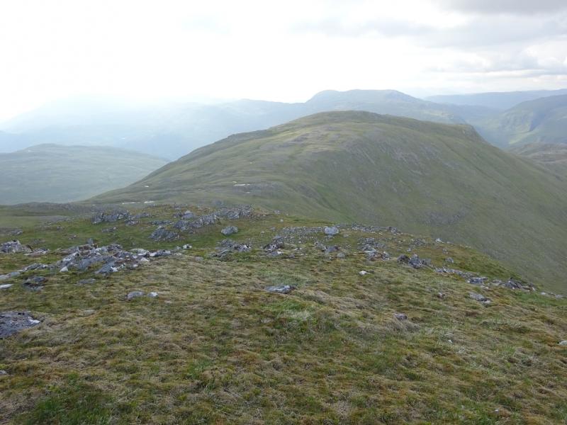
(7) It is a very similar walk down to the col (where fence posts end) then up similar slopes to reach a similar small cairn which marks the summit of Stuc Mor, 1041 m.
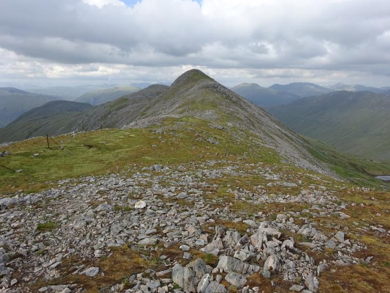
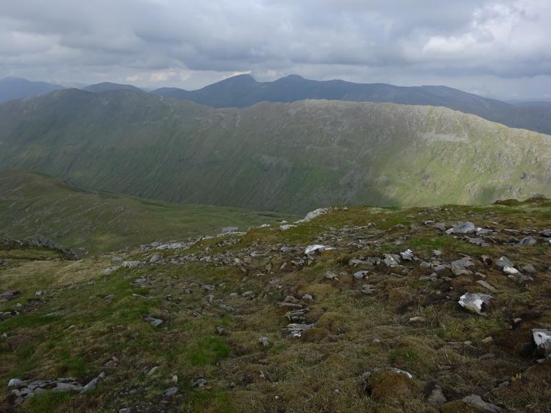
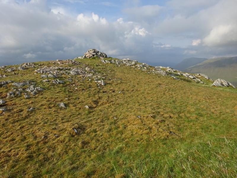
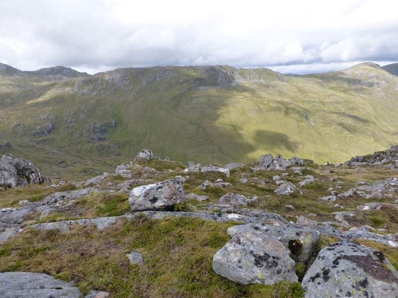
(8) From here, Stuc Fraoch Choire can seem lower than the top beyond, Creag Ghlas. It is about double the distance between the previous two tops and the ridge is not quite as well defined as it looks on the map although the steep ground falling east off the crest can help. A small cairn marks the summit of Stuc Fraoch Choire, 918 m.
(9) It is a long and rough way back to Carnach and there are two choices. On 9/6/16, the route continued along the crest and over Creag Ghlas (summit cairn) but the route is not as obvious, no paths, as previously and the crest “wiggles” a little especially in the col which could be quite confusing in mist however, one knows when the summit is reached and it is a fine viewpoint. From the summit go down the easy N ridge towards Loch Sgurr na h-Eige (no path). Even in clear weather, there is no sign of a path or track below. Leave the ridge lower down and aim for the smaller lochan where the path is shown. On 9/6/16, this was never seen! It can take some finding but the faint path can be located and followed roughly N; it is often in a shallow groove and never reaches the stream flowing out of Loch Sgurr na h-Eige. It turns W when the gradient eases then goes N again, crossing a stream which eventually flows down to Carnach. The path can still be difficult to follow but tracks will appear. These can be confusing so use the stream as a good guide. Eventually a well defined, but rough track, leads down to Carnach and the bikes. It can be more pleasant to stay off the track! The alternative to this descent over Creag Ghlas is to descend from Stuc Fraoch Choire, heading roughly WNW to pick up the path past Loch Lon Mhurchaidh and continue to Carnach. There is no path from Stuc Fraoch Choire to the path in the glen and it can be rough going. The stream goes over a cliff as a spectacular waterfall with the path drifting to the north before joining the above track lower down. This descent was used about 15 years ago.
Notes
(a) This walk took place on 9th June, 2016, and about 15 years ago. The above tops were also climbed from Glen Affric about 25 years ago on a 16 hour day!
Photos - Hover over photo for caption. Click on to enlarge. Click on again to reduce.