Get Lost Mountaineering
You are here: Scotland » 11 Kintail and Glen Affric to Loch Ness » Glen Affric to Loch Duich
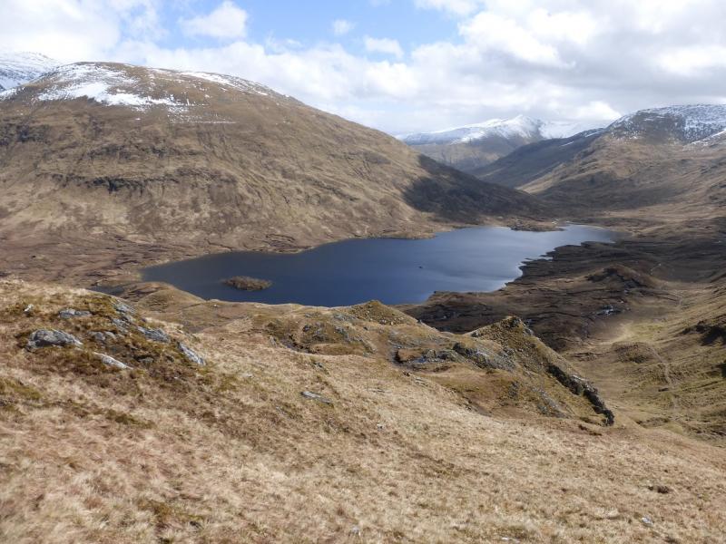
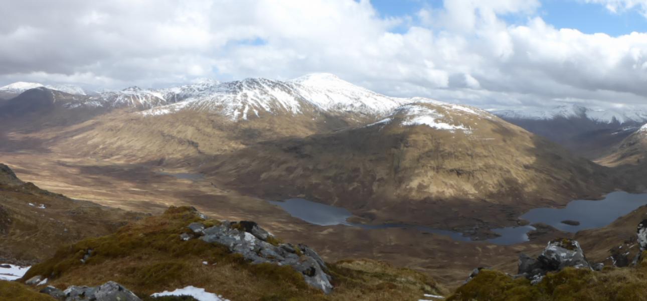
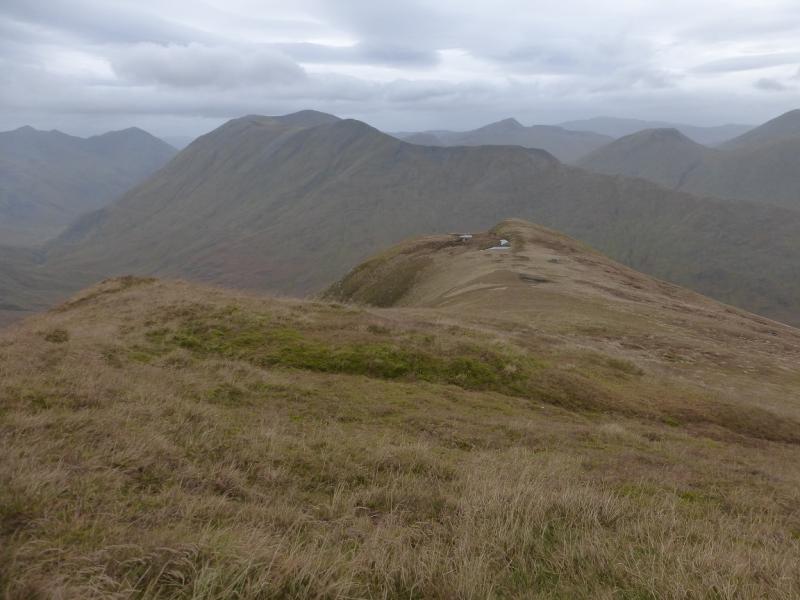
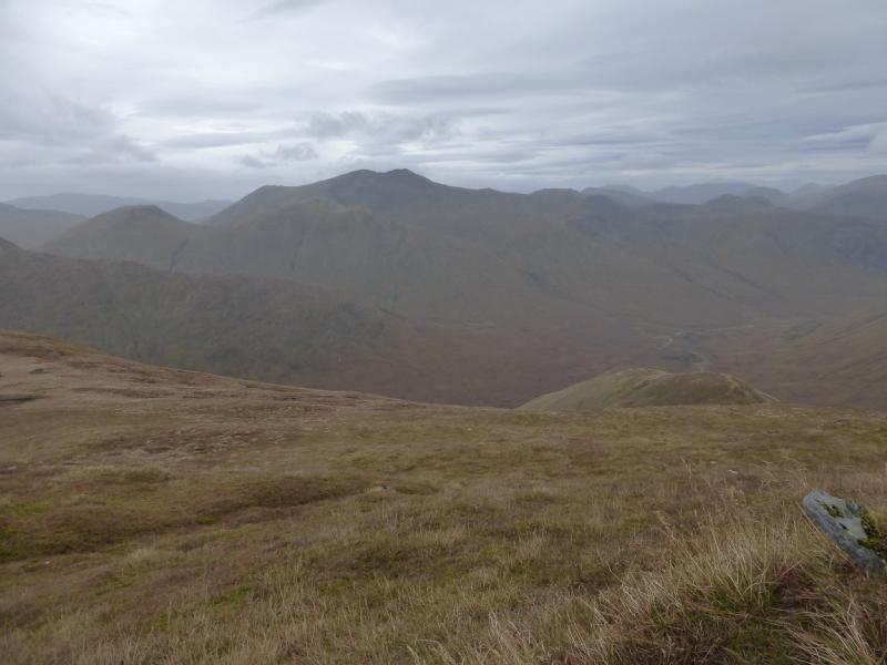
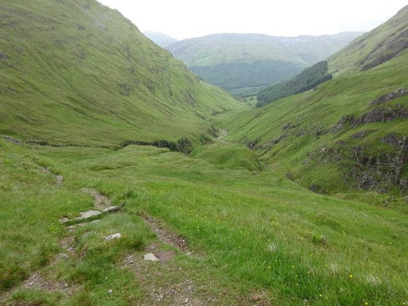
Sgurr Gaorsaic from Dorusduain
Sgurr Gaorsaic from Dorusduain
Start/Finish
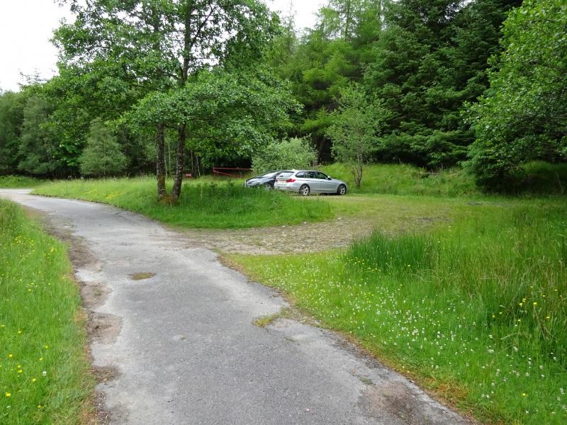
Old forestry car park at Dorusduain which is not used very much these days. From the western end of the Shiel Bridge causeway, take the minor road to Morvich. After about a mile, fork left on to the rough tarmac road. The private road sign does not apply. Continue following the road. There is a barrier further on but, if down (very rare), it is a height barrier to stop high vehicles such as camper vans not cars. Continue on the track and reach the small car park. Do not try to drive further as you will soon reach a locked gate. Shiel Bridge is about 15 miles east of the Kyle of Lochalsh on the A87 road to Invergarry.
Distance/Time
16 km About 6 -7 hours
Peaks
Sgurr Gaorsaic, 839 m, NH 036 219. OS sheet 33.
Introduction
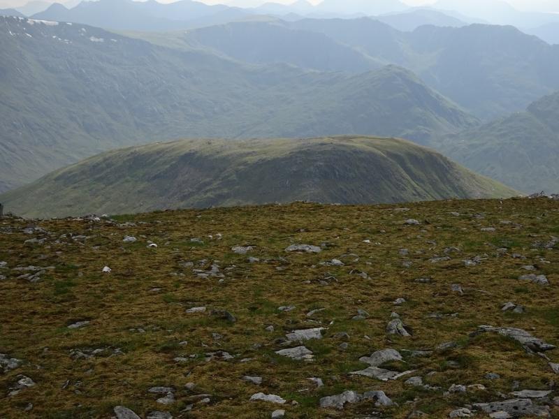
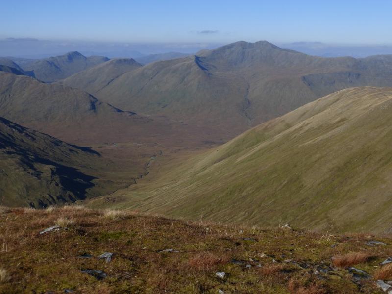
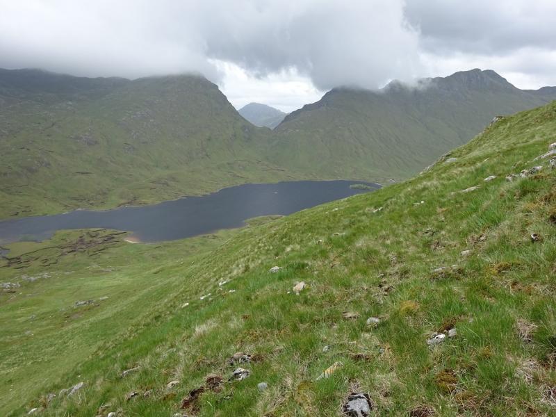
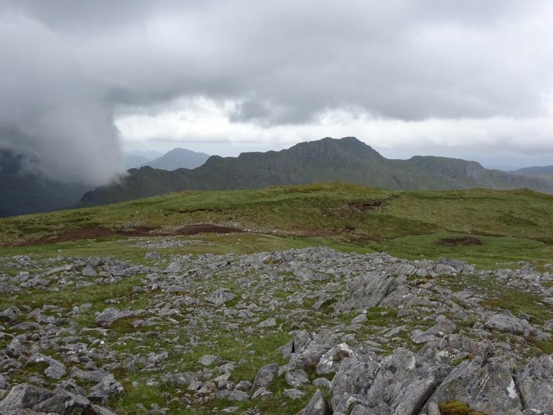
This is a longish walk which is rough in places and involves crossing a pass on the outward and return route. The route given is quieter than the usual alternative in the notes below and avoids a river crossing, which can be very awkward in wet weather. There are good views which include Beinn Fhada, Sgurr nan Ceanthreamhnan and upper Glen Affric. Navigation is not too difficult in mist as a fence goes to within about 100 m of the summit.
Route
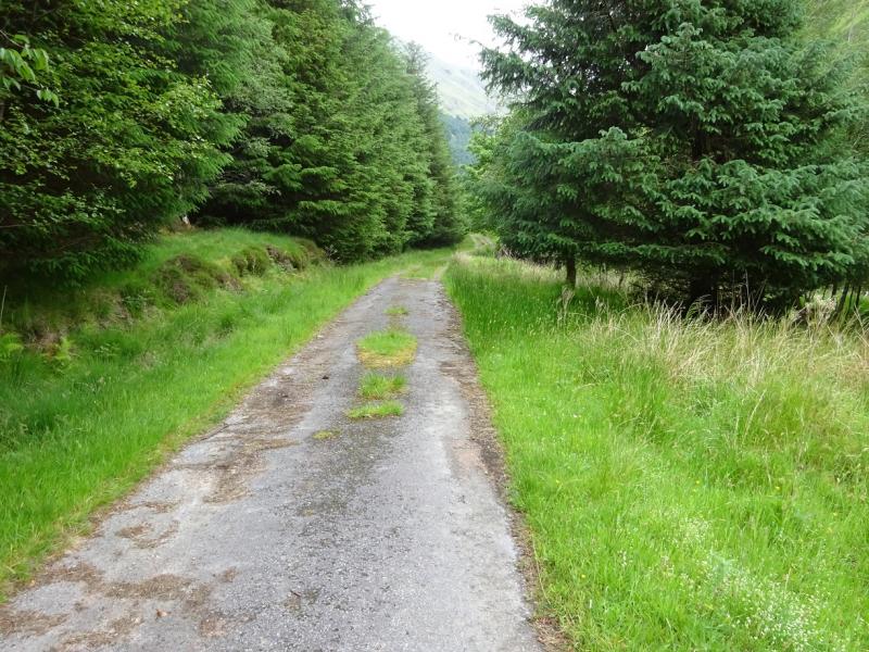
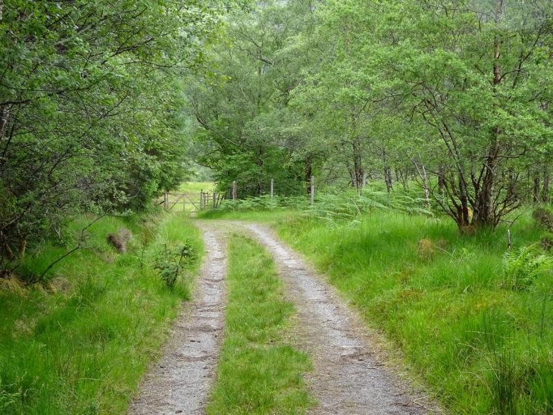
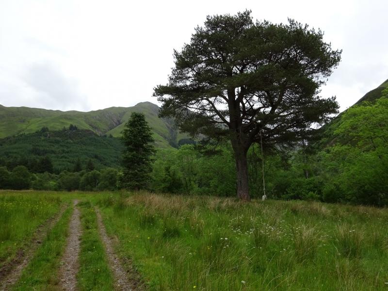
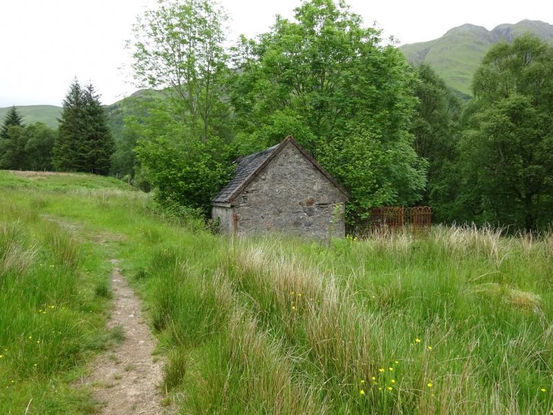
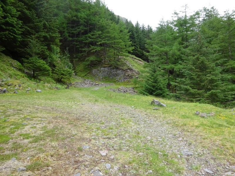
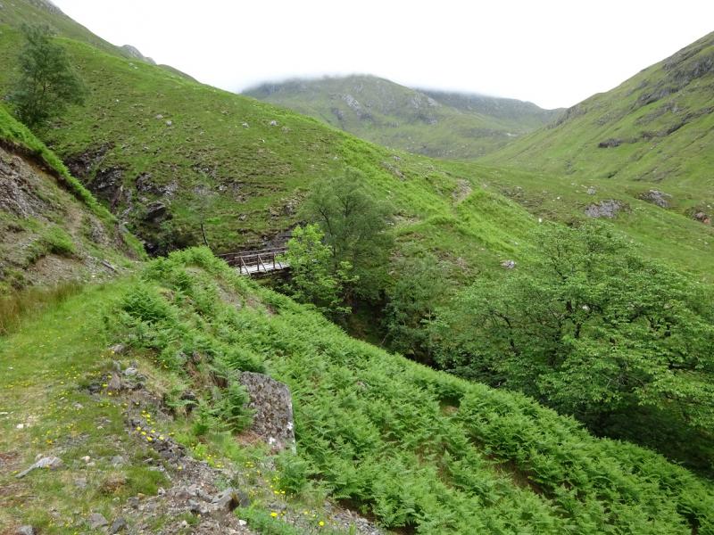
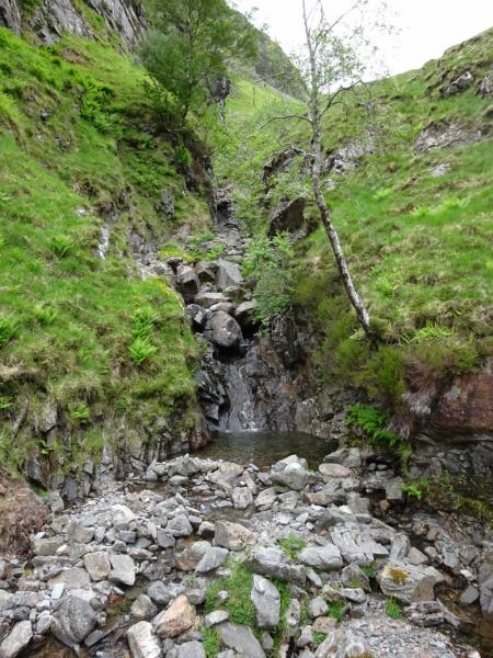
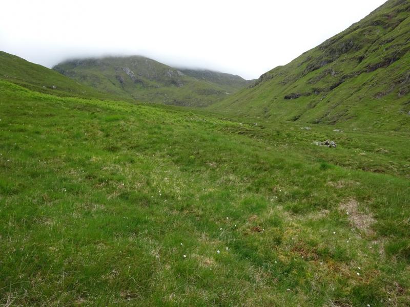
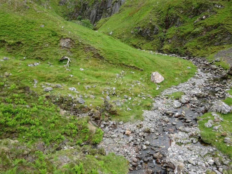
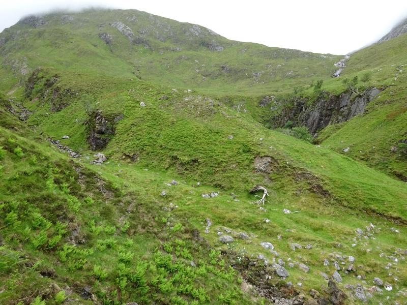
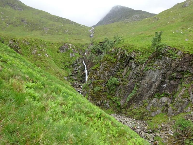
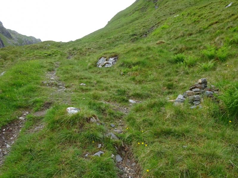
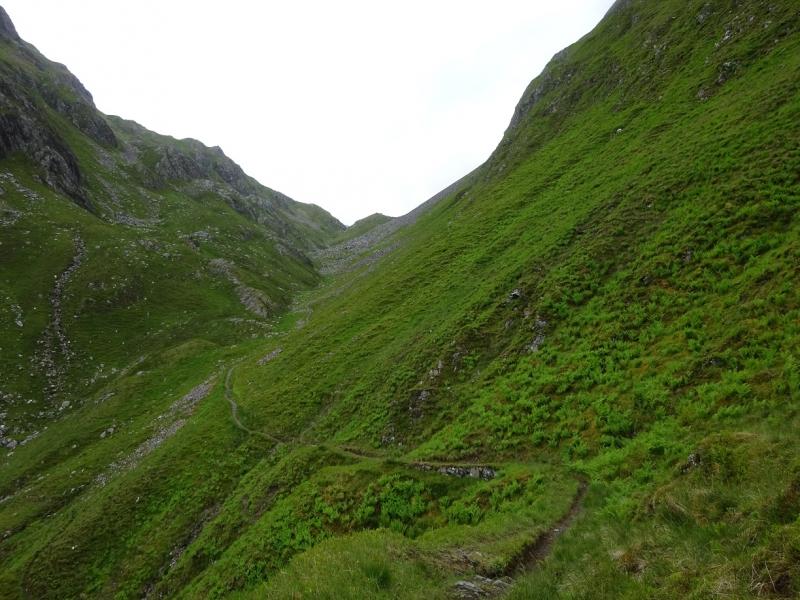
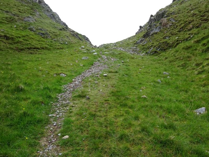
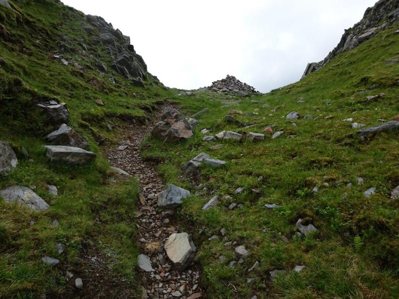
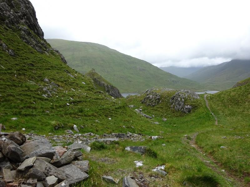
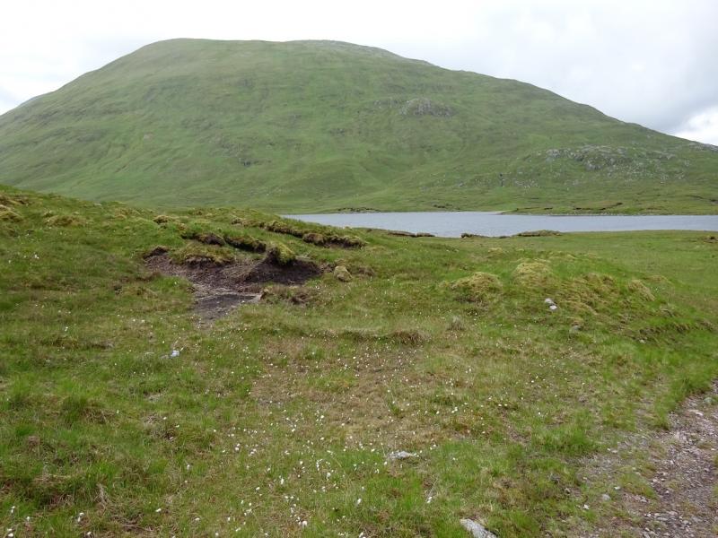
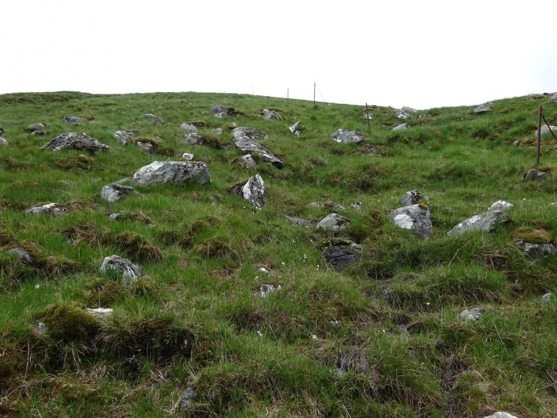
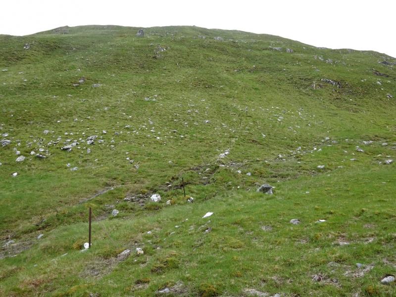
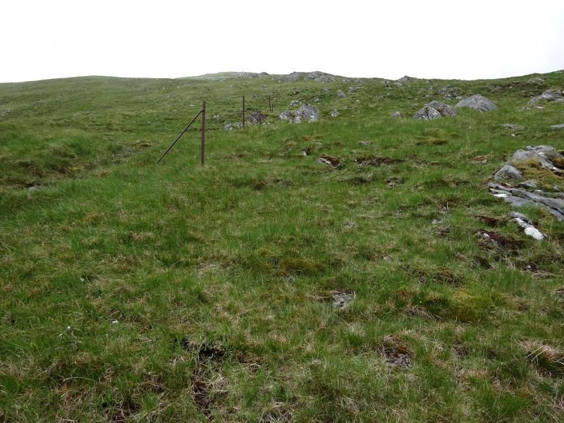
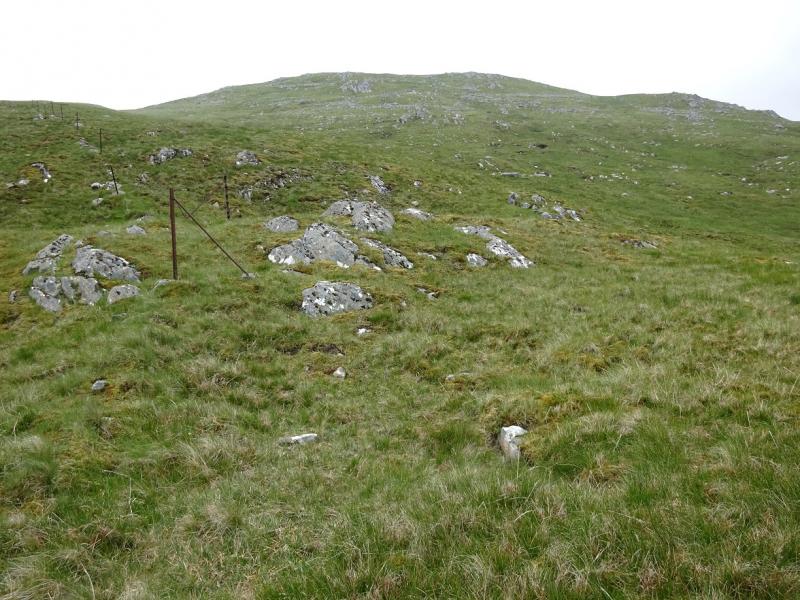
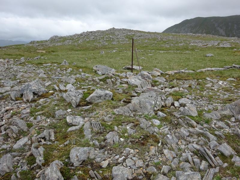
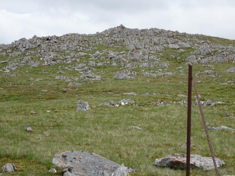
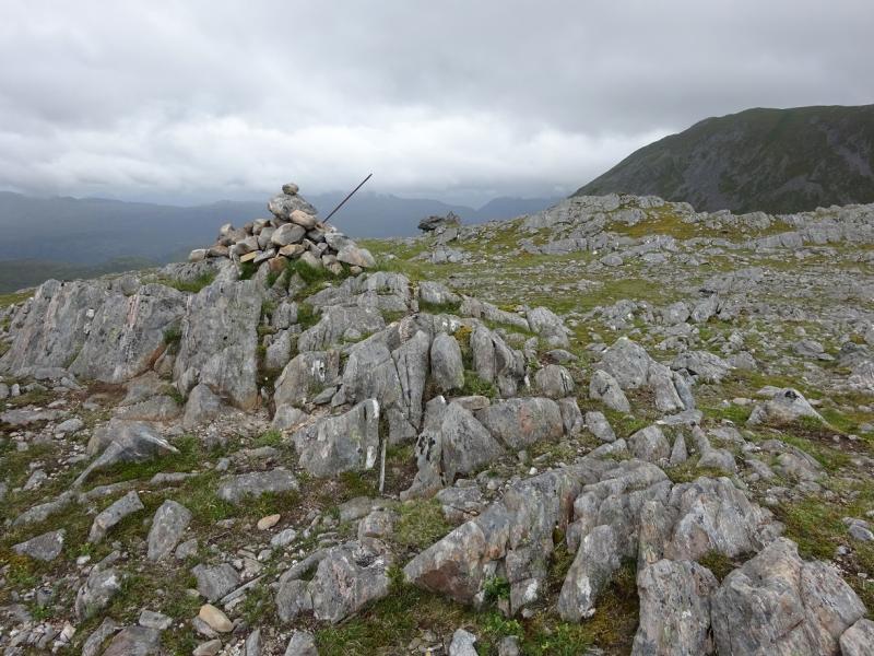
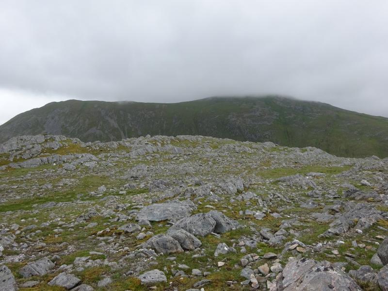
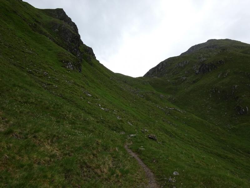
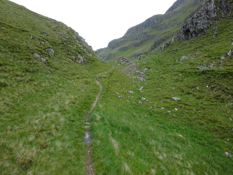
(1) Continue along the track and pass a rope swing then a small abandoned building (actually an old kennel). (The path to the bridge for Morvich is from this field.) The track slowly turns into a path before emerging on to a good forestry track. Turn right and follow the main track up through the forestry. Reach a hairpin bend but continue ahead on a lesser track, which is rough and stony in a few places, to reach a bridge over a deep, rocky stream. After this there is a path, faint in places but it can be followed as it drifts towards the main river on the right. When the confluence comes into sight (the main river goes right into Beinn Fhadas corries). The path goes over a shale bank just before this then drops down to the confluence. Only the minor stream, heading up to the Bealach an Sgairne needs to be crossed. Then pick a way up easy ground to join the path from Morvich, before it splits, which continues up to the Bealach an Sgairne. Continue down the other side on a fairly obvious path which would, if followed all the way, lead to the Youth Hostel at Alltbeithe then all the way down Glen Affric. Pass Loch a' Bhealaich (can be boggy around here) then continue for about 500 m to reach the foot of the fence going up the S ridge of Sgurr Gaorsaic. There is little hint of a path but the fence is a good guide although there are some steeper sections. At the highest point of the fence, go left at right angles, on gentle, stony ground to reach the medium cairn which is the summit of Sgurr Gaorsaic, 839 m.
(2) Return by the outward route or follow the path on the Morvich side then cross over lower down to return to Dorusduain using the path from Morvich to the falls of Glomach.
Notes
(a) This walk took place on 15th June, 2016.
(b) In dry weather it is possible to start at the Falls of Glomach car park (National Trust Ranger Office) at Morvich near Shiel Bridge. This is just before the Caravan Club Site where some camping is available and the facilities, including Wi-Fi, are very good. Morvich is a right turn just before the causeway at Shiel Bridge.
Photos - Hover over photo for caption. Click on to enlarge. Click on again to reduce.