Get Lost Mountaineering
You are here: Scotland » 10b Loch Eil to Glen Shiel » Knoydart & North of Loch Quoich
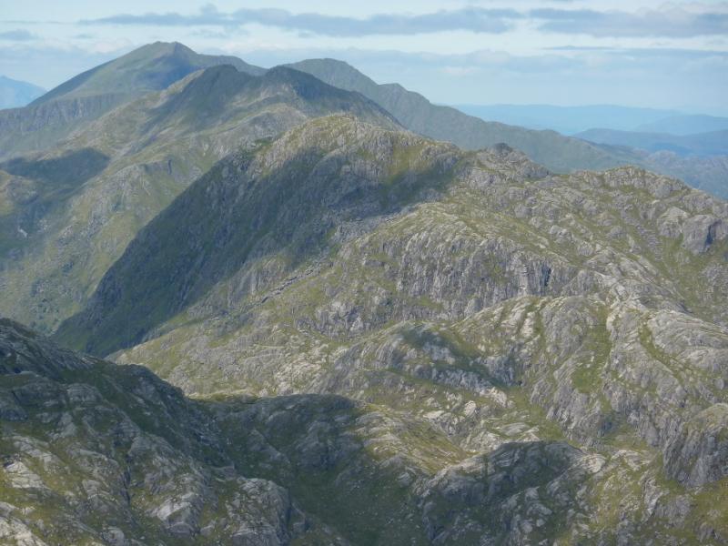
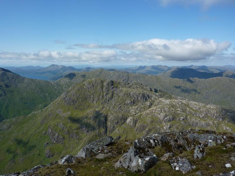
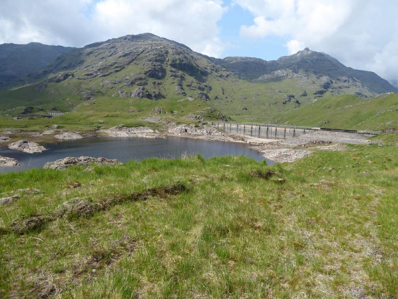
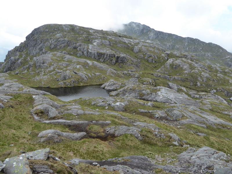
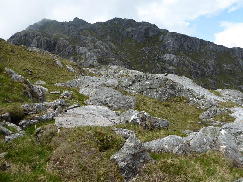
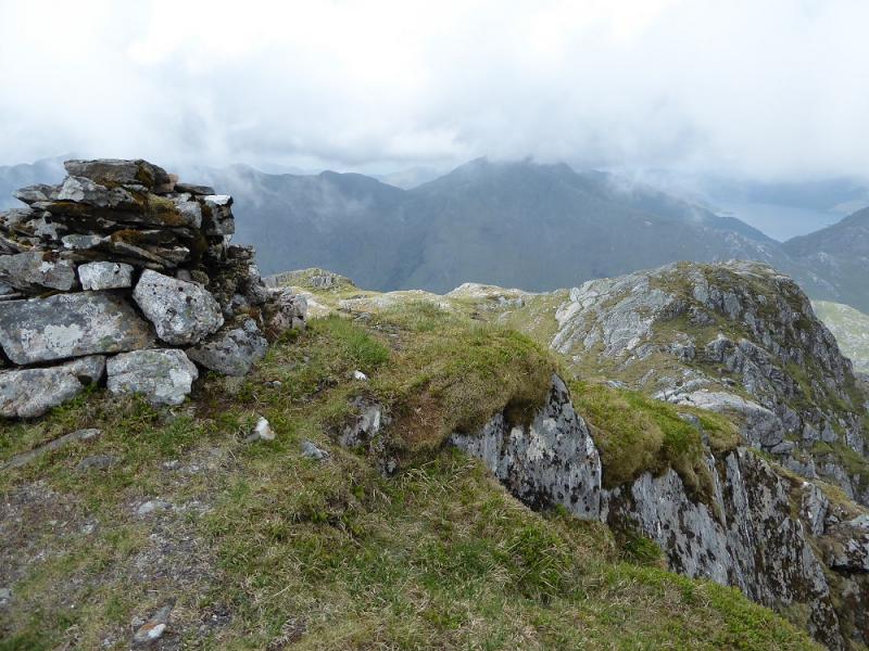
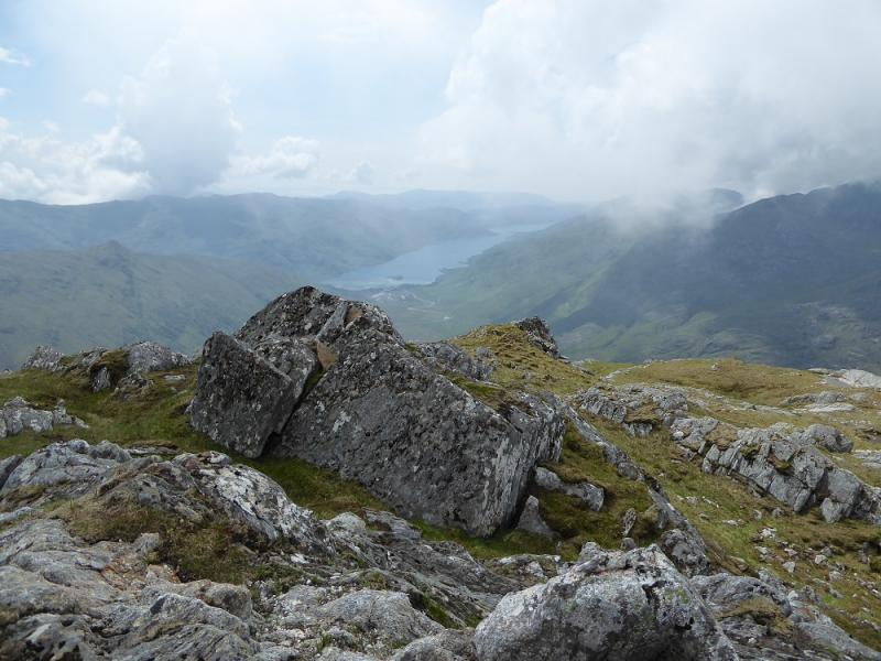
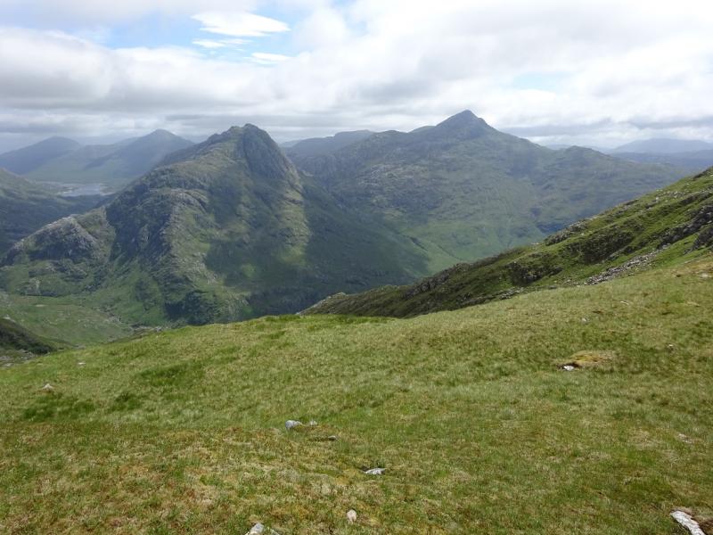
Ben Aden from Loch Quoich Road
Ben Aden from Loch Quoich Road
Start/Finish
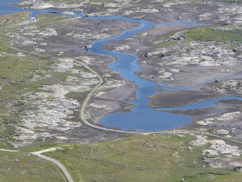
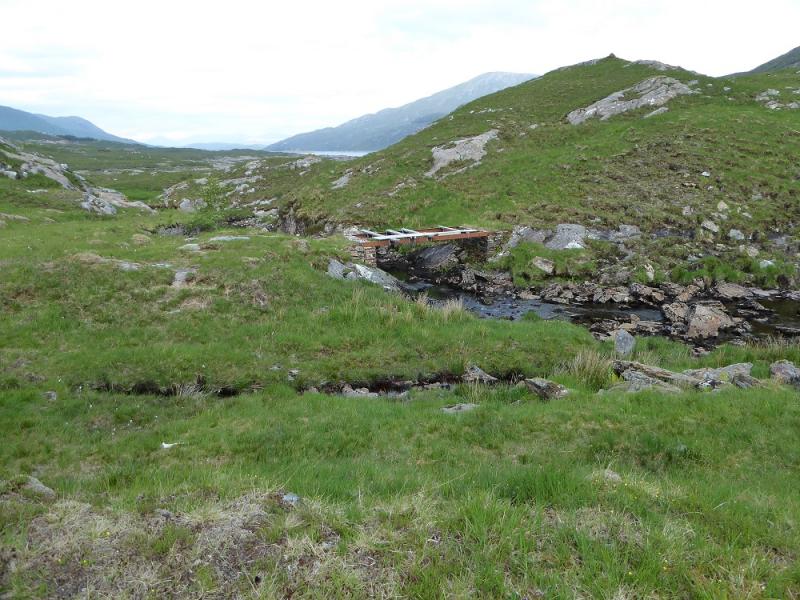
Loch Quoich road to SE of Kinloch Hourn which is at the end of the 22 mile long road which leaves the A87 road to Skye a few miles west of Invergarry. Invergarry is about 25 miles north of Fort William on the A82 road to Inverness. The road is not too bad until the end of Loch Quoich but after that it gradually deteriorates. It is difficult to be precise about the starting point as it depends on how full Loch Quoich is; it is actually a reservoir with dams at both ends. It is strongly advised that another walk is done in this area just before Ben Aden is attempted so one can check out the best starting point. This walk is not recommended if the loch is high. Drive towards Kinlochhourn to reach the Loch Quoich dam then continue to vorss the bridge over the northern inlet. Continue along the road which slowly starts to deteriorate. There are some new hydro works being installed with associated buildings. Look for a building on the left and a track going down to the loch. This goes to the remains of an old bridge then continues on the opposite side but there is no bridge now so the river/loch would have to be waded and it is often too deep or too muddy. A dinghy might help as it is less than 20 m across provided the remains of the bridge are above the water. Crossing here saves about an hour. The alternative involves going around the WNW inlet which is below the road. Go as far as a small ruin of a bridge over the feeder river. There is some parking a little further along the road.
Distance/Time
30 km About 11 – 12 hours
Peaks
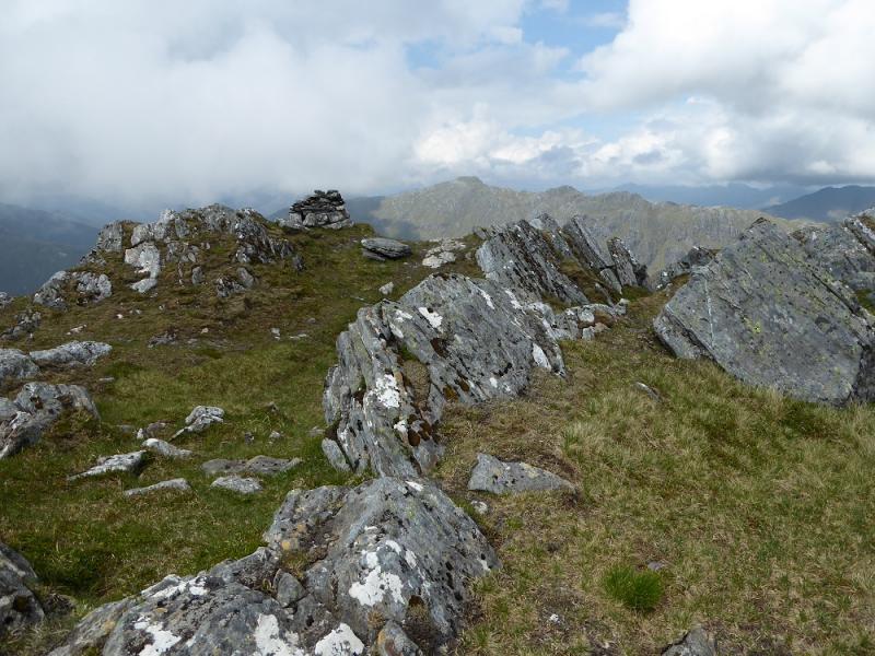
Ben Aden, 887 m, NM 898 986. OS sheet 33.
Introduction
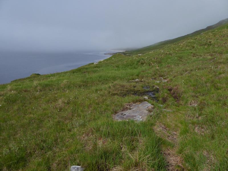
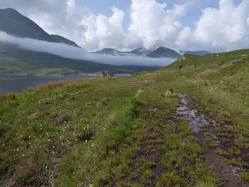
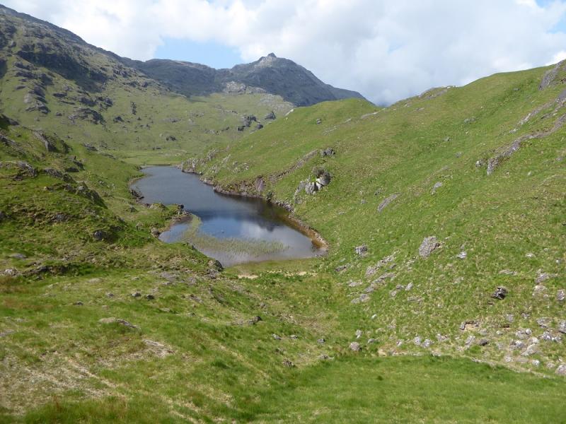
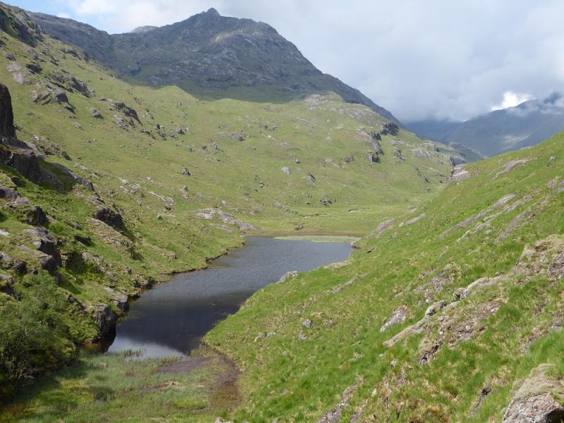
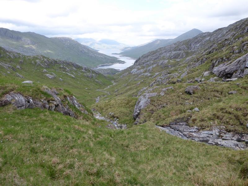
Having previously climbed all the Corbetts, this one is the most strenuous to ascend. It involves a long walk along the side of Loch Quoich, a potentially dangerous river crossing and some very rough ground. The walk in has to be reversed but it can be accomplished on a long summer's day although take plenty of water if it is hot and only go in clear weather in a long dry spell because of the terrain, navigation and to enjoy the views. There is no possibility of cycling any part of the way. The problems with the start and getting around the WNW inlet of Loch Quoich have been mentioned above. Once around or across this inlet, tehre is a faint path, slowly becoming more distinc, which leads to the Abhainn Chosaidh, a wide river. In a dry spell, with the loch low, it is very easy to cross but if the loch is high and it has been raining then it is very dangerous crossing and a long detour would be necessary. The views are superb.
Route
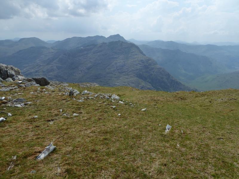
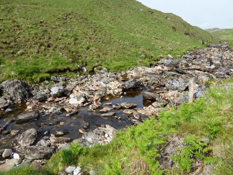
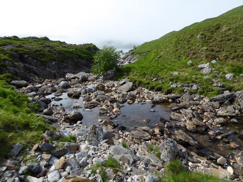
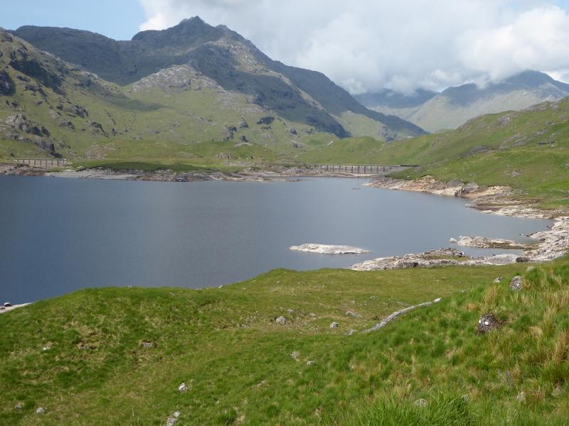
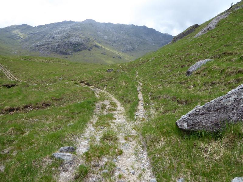
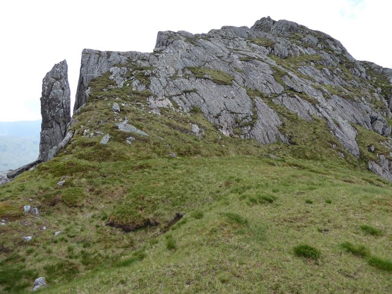
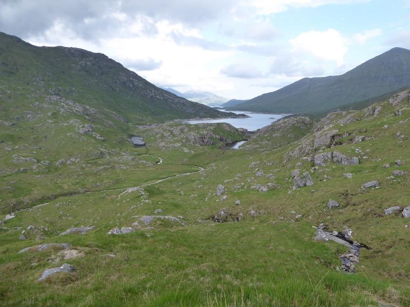
(1) Get around or across the WNW inlet of Loch Quoich. Be careful of the mud flats if going around as some are very sticky. It is best to keep to the slightly higher ground. The exact route around depends on how high the loch is and how wet the round is. Aim to get to the continuation of the track across the remains of the old bridge and follow this until it runs out and becomes a path, distinct enough to follow but slowish going. From where the loch shore turns W, it is about 4 km to the Abhainn Chosaidh; the path heads inland as it gets closer. Follow the path which soon becomes less easy to follow and cross the river as soon as possible. As stated above, this will very easy in a dry spell with the loch low. Once across, look for a faint path which continues shadowing the loch shore until it meets the old grassy track coming from Gleann Cosaidh. This is easy to follow but has deteriorated in recent years and can be boggy in places but it does lead to the two dams at the end of the loch. Cross both of them and continue to the left of the bank ahead to pick up the stalker's path going S. Just past a knoll, a branch goes around this heading W heading towards Lochan nam Breac. (The SMC guide suggest continuing S but this is not advised nor is any route which takes in or traverses Meall a' Choire Dhuibh). The stalker's path can be faint and boggy in places. Follow it until about 500 m before the lochan and head up the Allt Coire na Cruaiche. There are two options now. Either follow the steam up to its source then keep going in roughly the same direction where a path might be found which leads up on to the crest not far from the summit, which has some rocky ribs close by, where there is a medium cairn for Ben Aden, 887 m. The alternative, ascended about 15 years ago, is to ascend the ridge on the right of the Allt Coire na Cruaiche and follow it, with some up and down, to the summit.
(2) Descend down the Allt Coire na Cruaiche and hope it hasn't rained during the day!
Notes
(a) This walk took place on 7th June, 2016, and once before by a similar route.
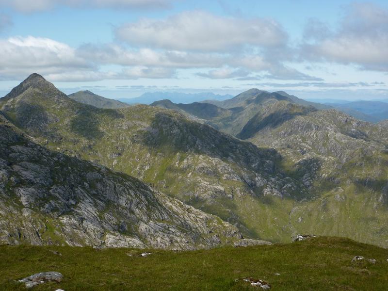
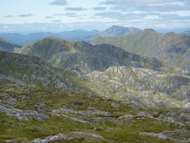
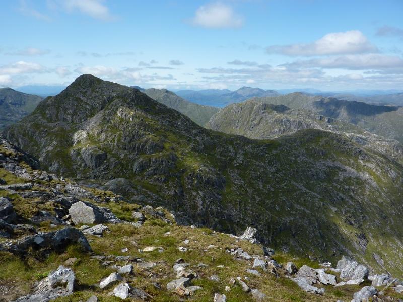
Photos - Hover over photo for caption. Click on to enlarge. Click on again to reduce.