Get Lost Mountaineering
You are here: Scotland » 10b Loch Eil to Glen Shiel » Knoydart & North of Loch Quoich
Gleouraich & Spidean Mialach from Loch Quoich
Gleouraich & Spidean Mialach from Loch Quoich
Start/Finish
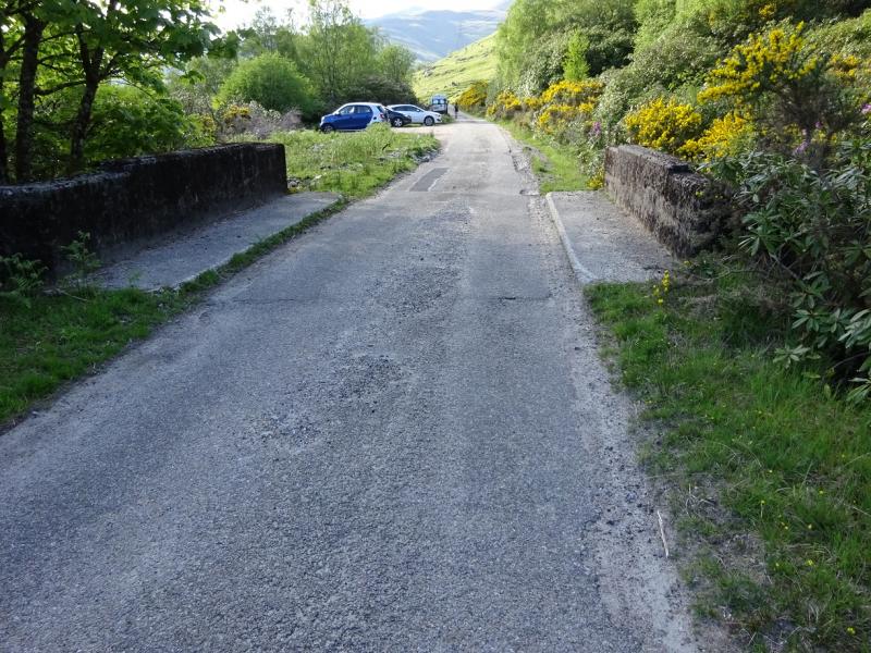
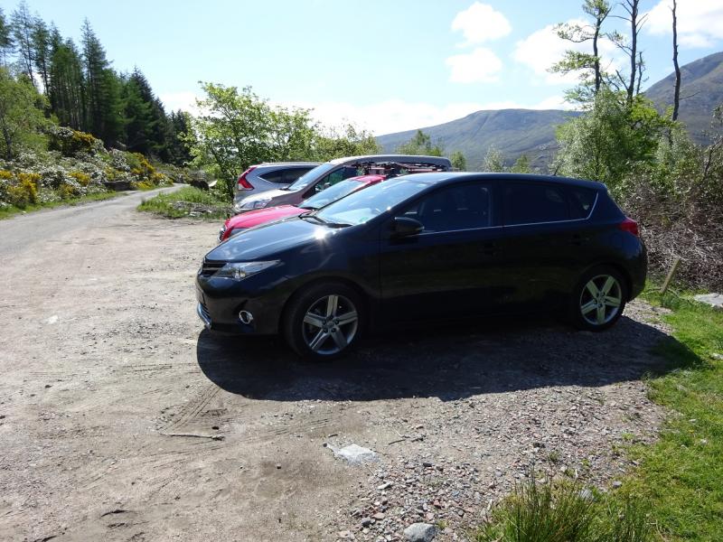
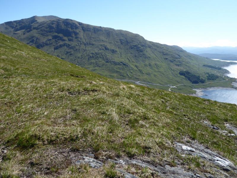
Small parking spot about 4.5 km past the Loch Quoich Dam which is well down the Tomdoun/Kinloch Hourn road which leaves the A87 road to Skye a few miles west of Invergarry. Invergarry is about 25 miles north of Fort William on the A82 road to Inverness. East of the parking spot, the road passes through rhododendrons and gorse. The parking spot is the only “car park” on the left (loch side) of the road and holds about 6 cars if parked at right angles to the road. About 100 m west of the car park, the road opens up again.
Distance/Time
12 km About 6 – 7 hours
Peaks
Gleouraich, 1035 m, NH 039 053.
Craig Coire na Fiar Bhealaich, 1006 m, NH 047 051.
Spidean Mialach, 996 m, NH 066 043. OS sheet 33.
Introduction
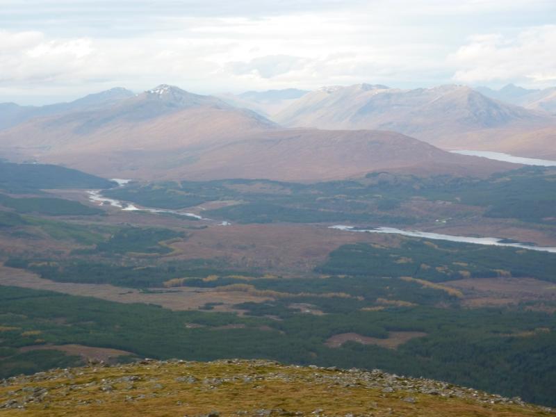
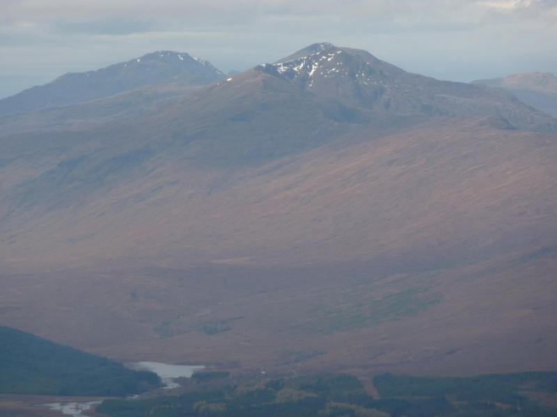
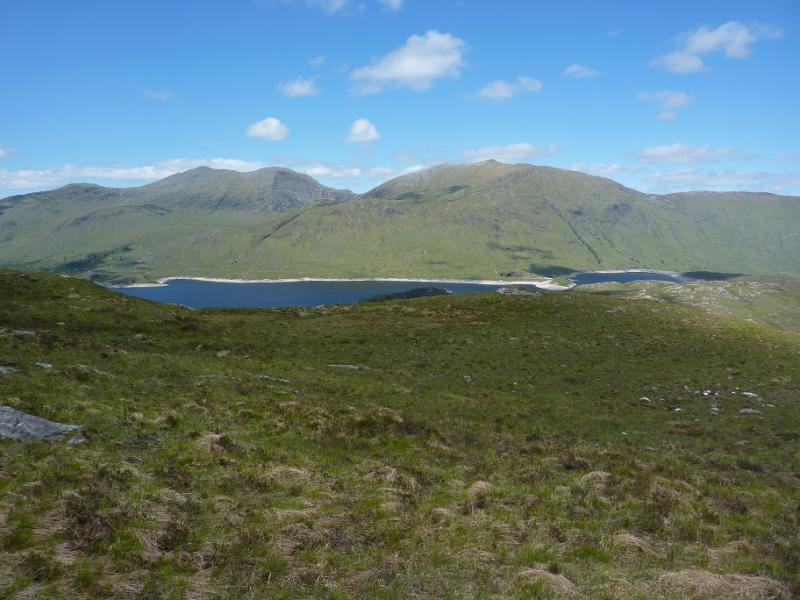
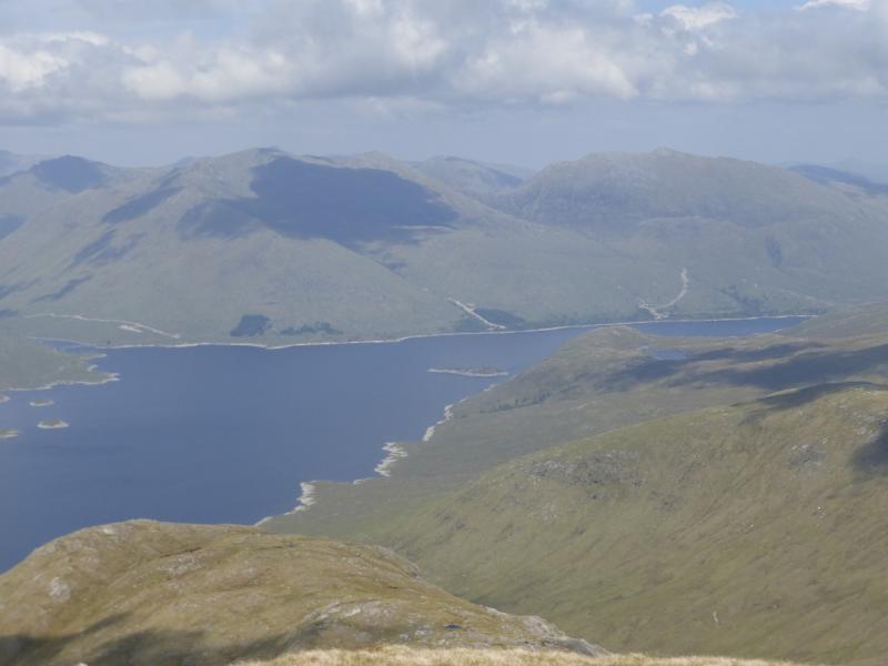
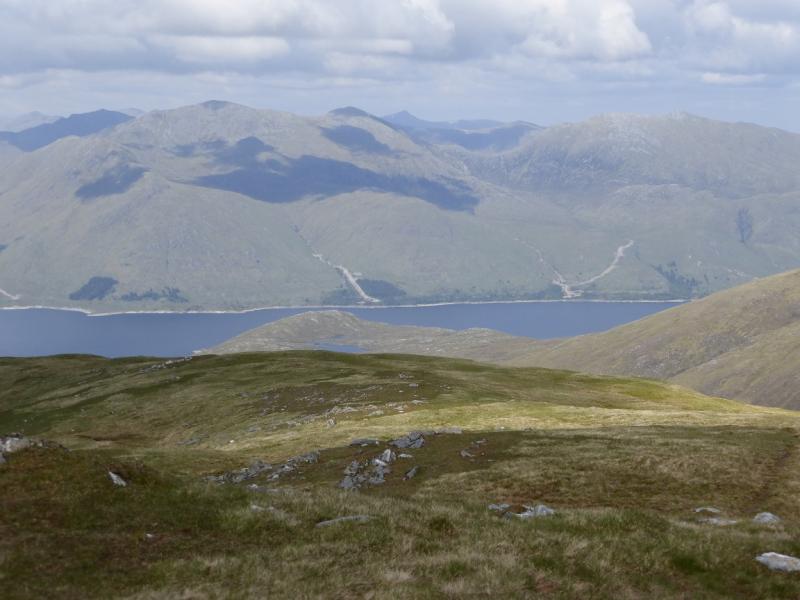
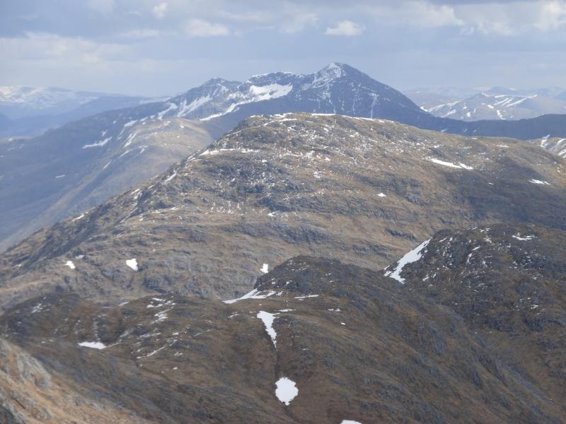
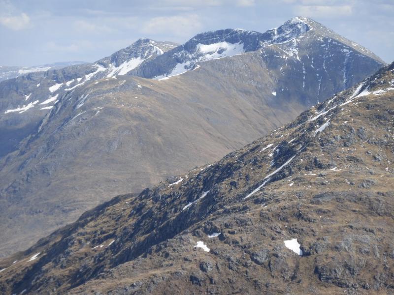
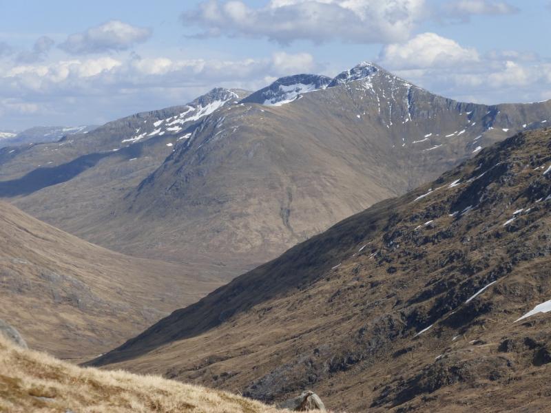
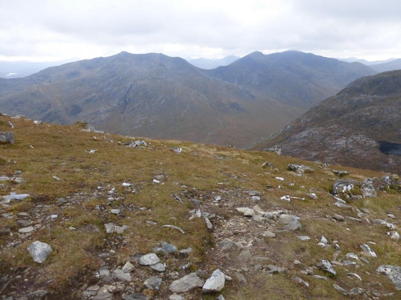
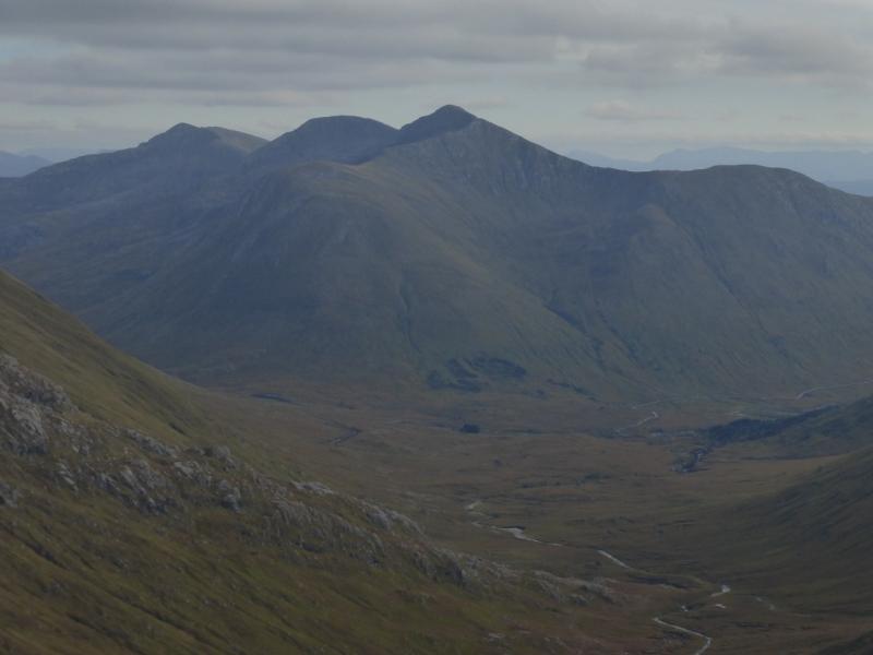
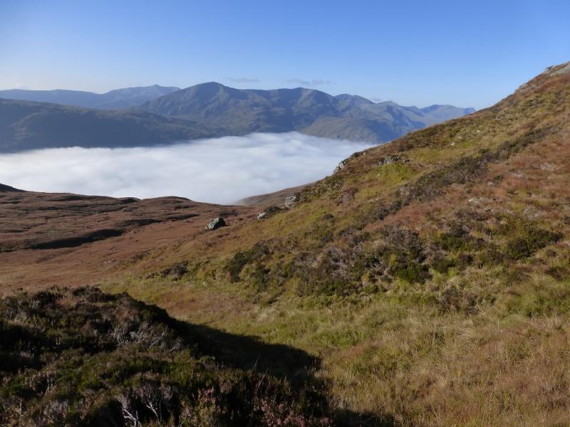
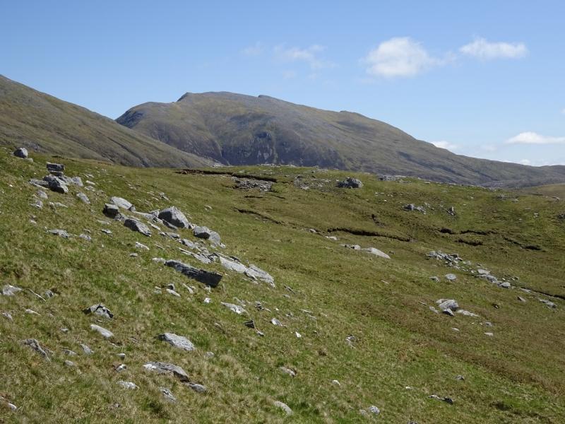
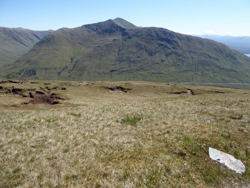
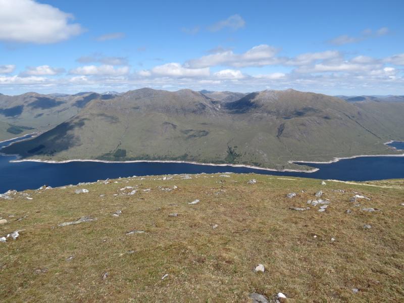
This is a relatively straight forward walk with a good path all the way. The original stalker's path on Gleouraich is one of the best in the Highlands. The walk is best done in good weather as the views are superb and include all the other Loch Quoich hills, Knoydart, South Glen Shiel and even distant hills such as the Cuillin of Skye and Ben Nevis.
Route
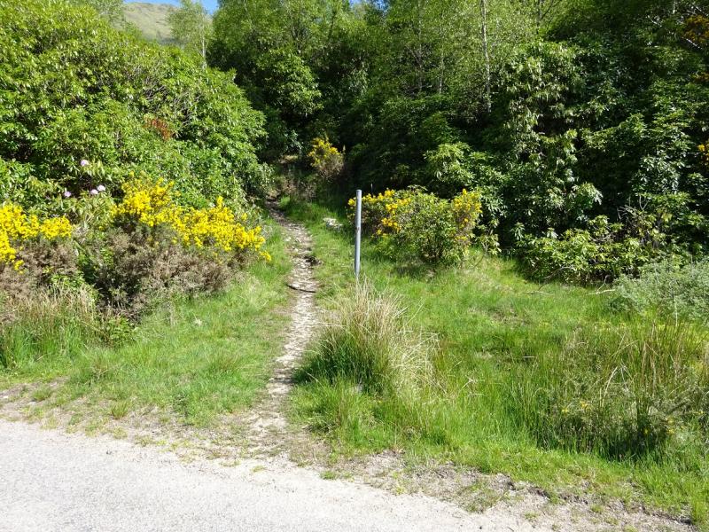
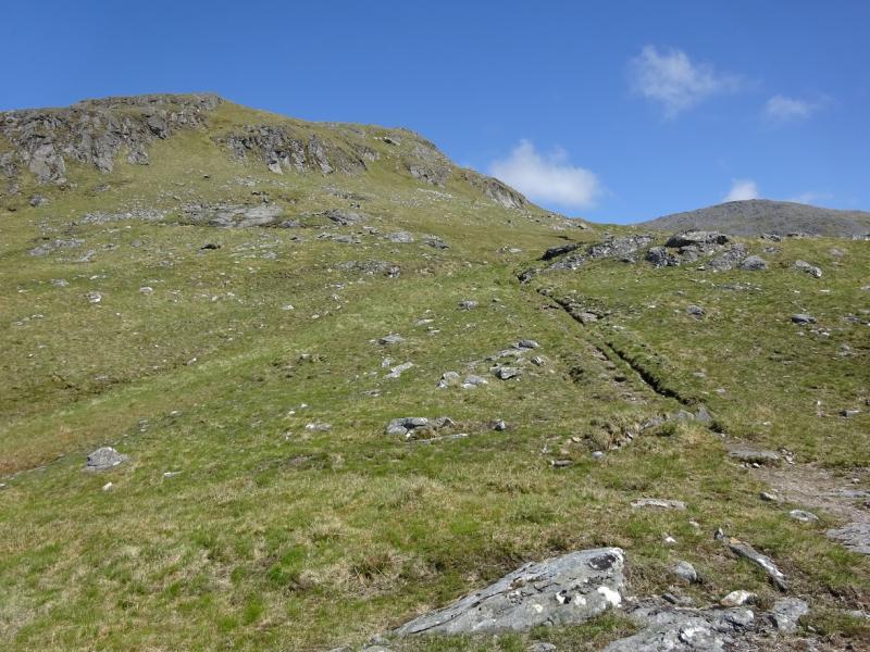
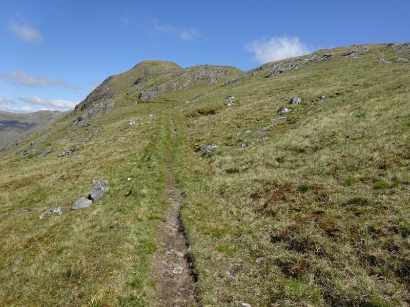
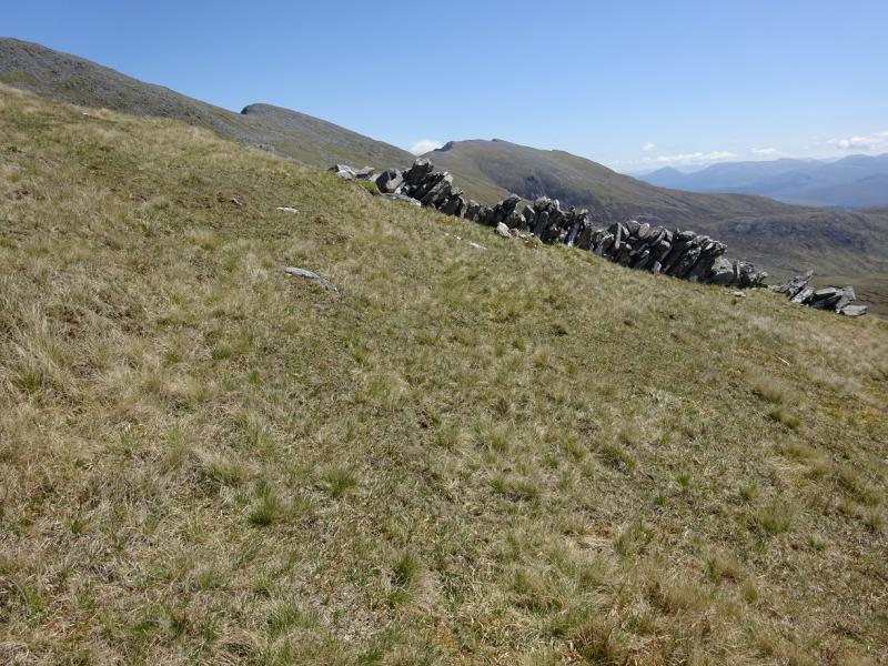
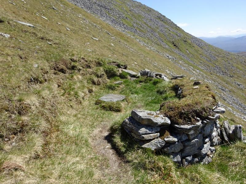
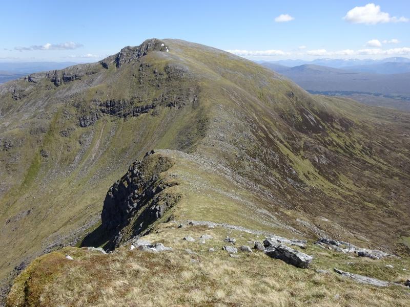
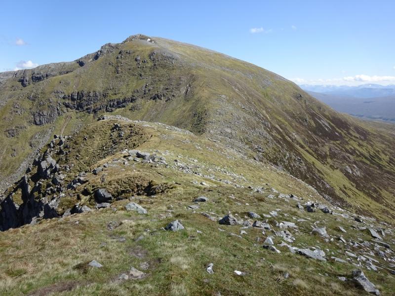
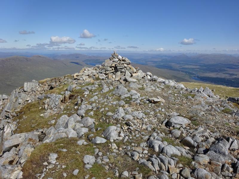
(1) Start up the path, marked by a metal pole, which is opposite the car park. Follow this old but very well constructed path, with many zig–zags, up on to the S ridge of Gleouraich which is traversed on its W side higher up. After losing a little height, the path goes more to the E to finish at a walled shelter cairn. A walkers' path then takes over which is okay but not as good and this leads up to the medium cairn which marks the summit of Gleouraich, 1035 m. There is no longer a trig point, as shown on some maps. It came down over 20 years ago.
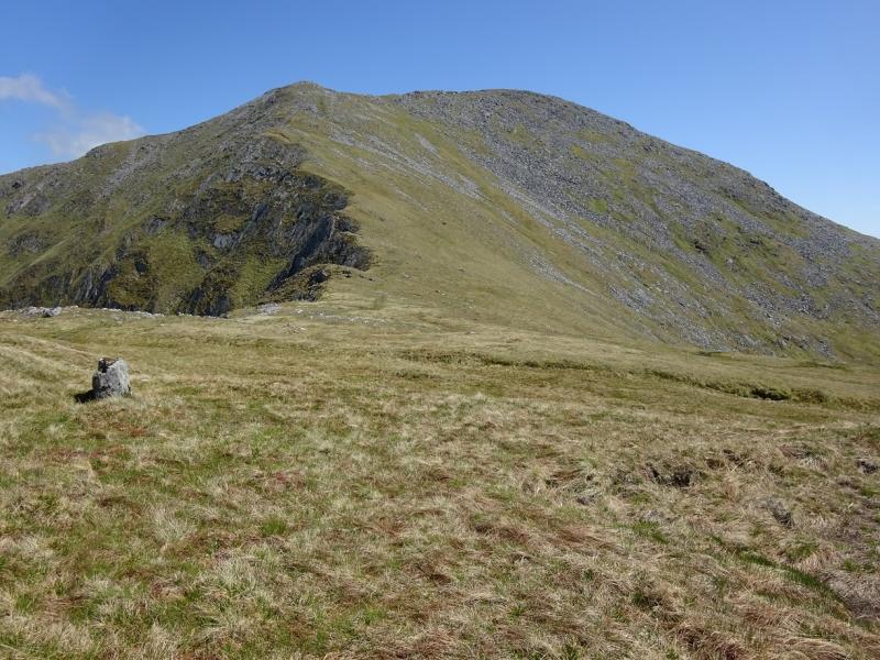
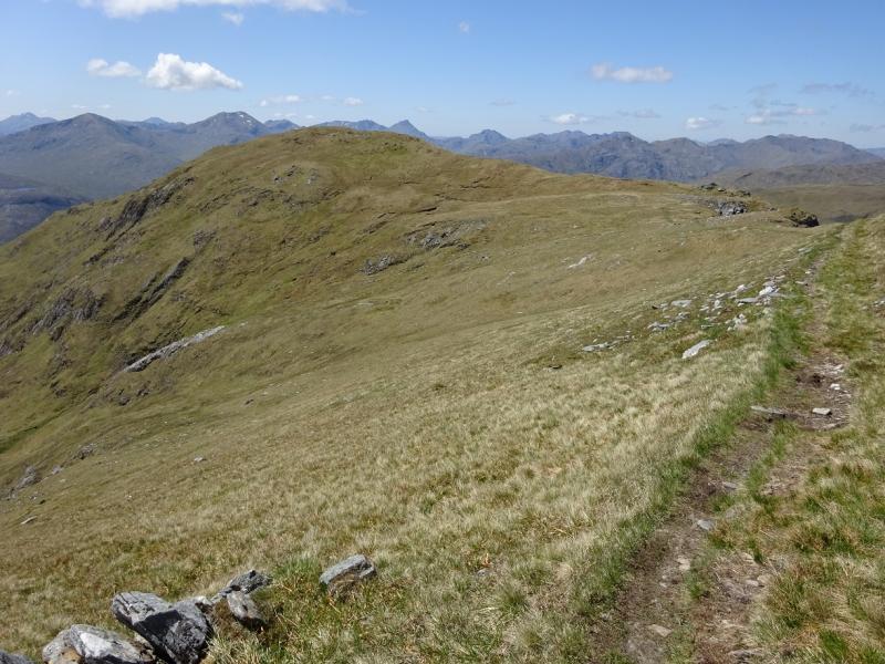
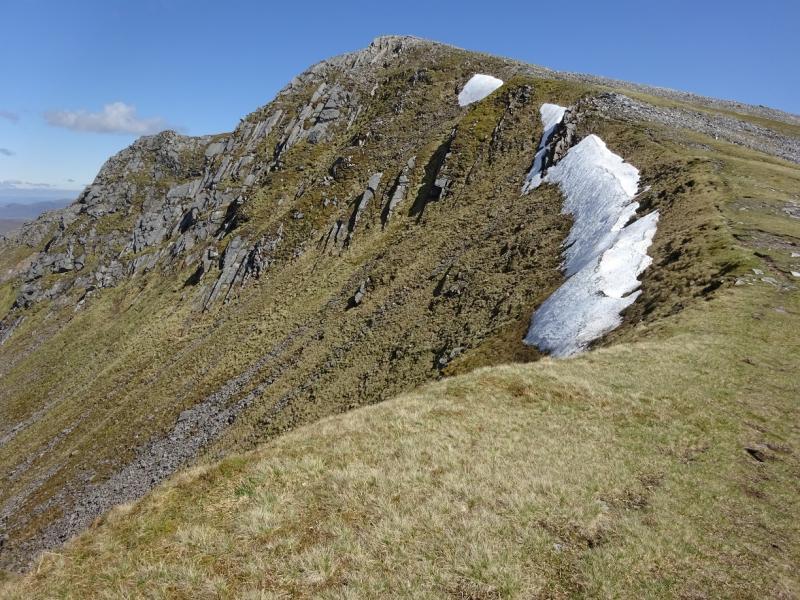
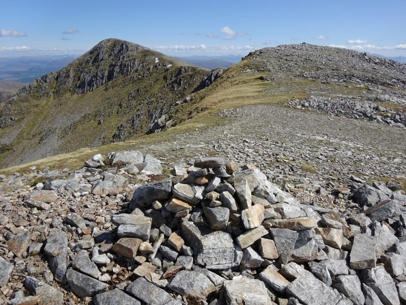
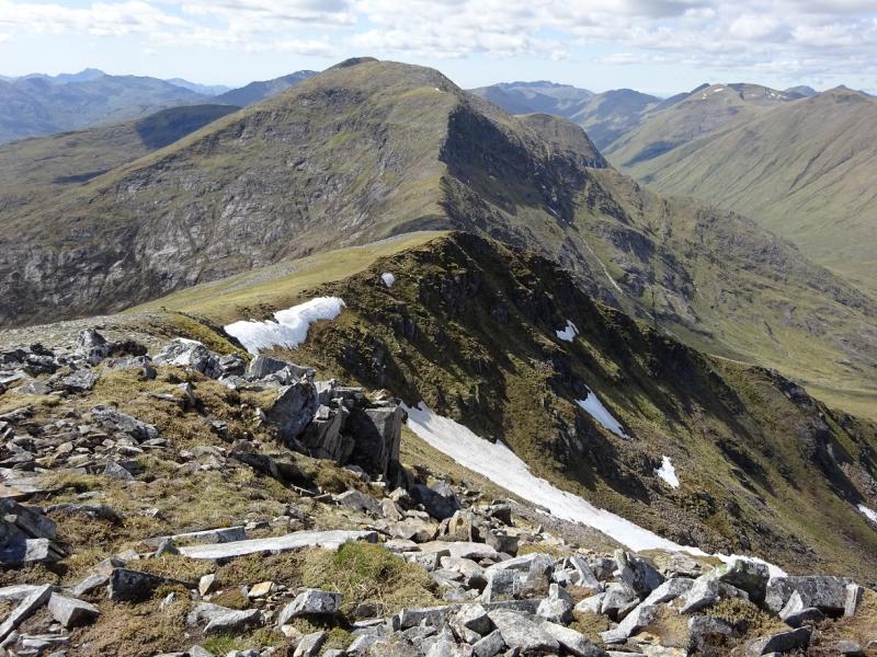
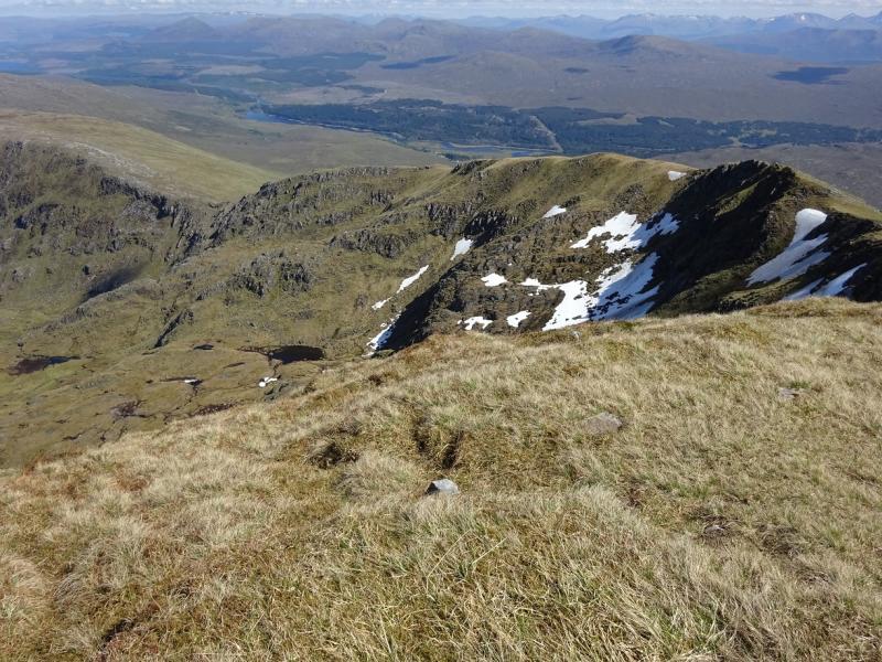
(2) Continue E along the ridge, through some stony sections and a shallow dip to reach the small cairn on the summit of Craig Coire na Fiar Bhealaich, 1006 m.
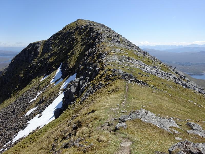
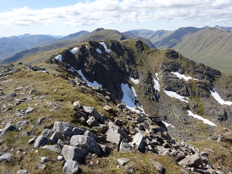
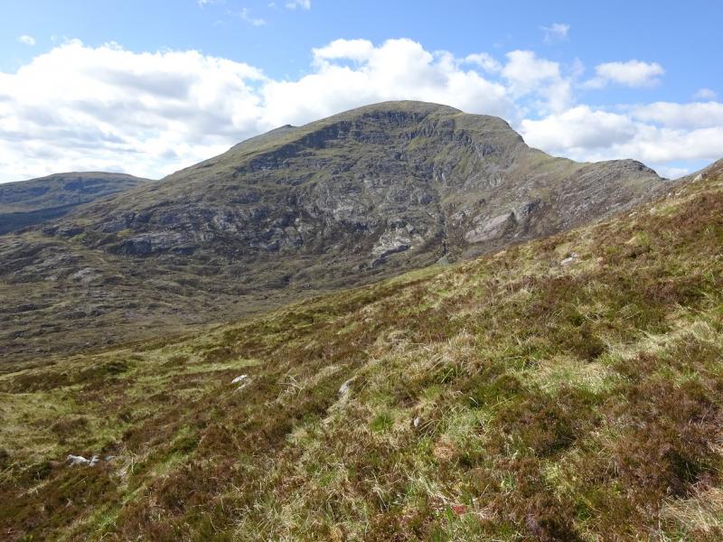
(3) Continue along the crest. The path descends, in zig-zags, to the deep col known as the Fiar Bhealaich before ascending up grassy and stony slopes to reach a cairn on a shoulder then a larger cairn on a top then an even larger cairn which is the summit of Spidean Mialach, 996 m. In mist, one of the earlier cairns might be mistaken for the summit.
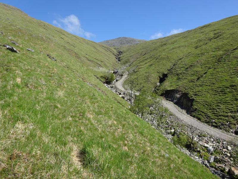
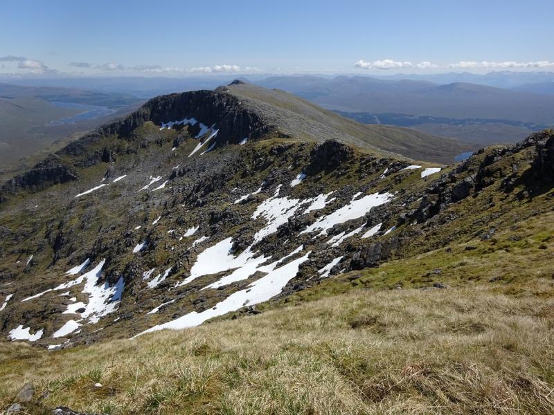
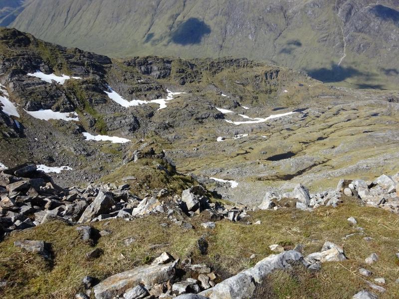
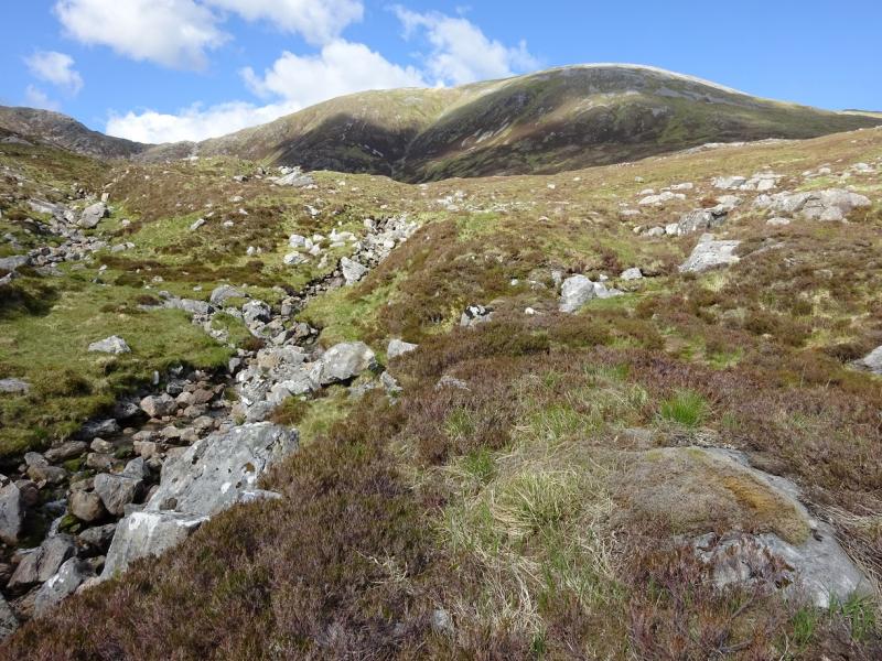
(4) Descend, roughly SW, down easy slopes on an obvious path which seems to be heading towards Loch Fearna. The path actually passes this well to its right, W, then continues to make a diagonal traverse across Coire Mheil. Two streams have to be crossed and may be awkward after rain. Continue on the path and, eventually, reach the road less than 1 km E of the start.
Notes
(a) This walk took place on 31st May, 2016, and twice before.
Photos - Hover over photo for caption. Click on to enlarge. Click on again to reduce.