Get Lost Mountaineering
You are here: Scotland » 10b Loch Eil to Glen Shiel » Knoydart & North of Loch Quoich
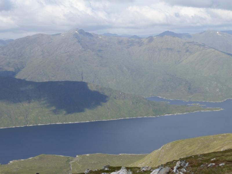
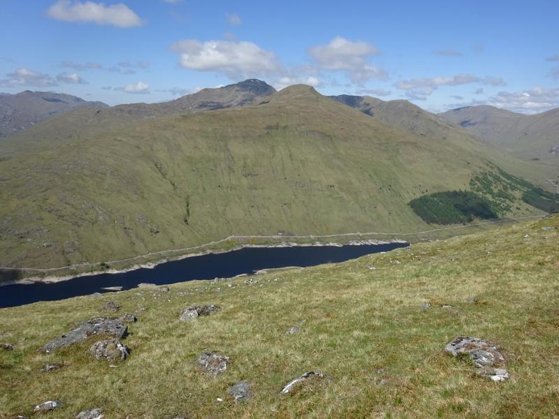
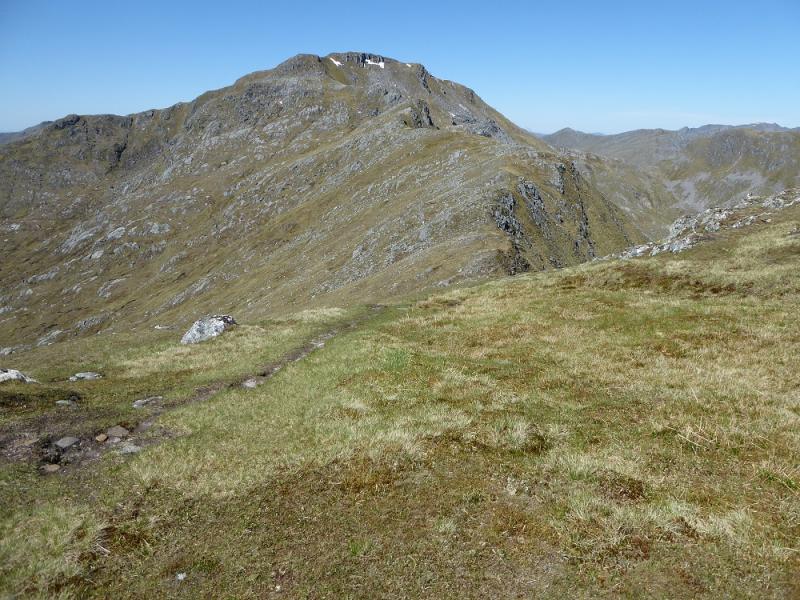
Sgurr a' Mhaoraich from Loch Quoich
Sgurr a' Mhaoraich from Loch Quoich
Start/Finish
Small parking spot about 1 km after the bridge over the northern extension of Loch Quoich. The bridge is about 7 km past the Loch Quoich Dam which is well down the Tomdoun/Kinloch Hourn road which leaves the A87 road to Skye a few miles west of Invergarry. Invergarry is about 25 miles north of Fort William on the A82 road to Inverness.
Distance/Time
12 km About 5 – 6 hours
Peaks
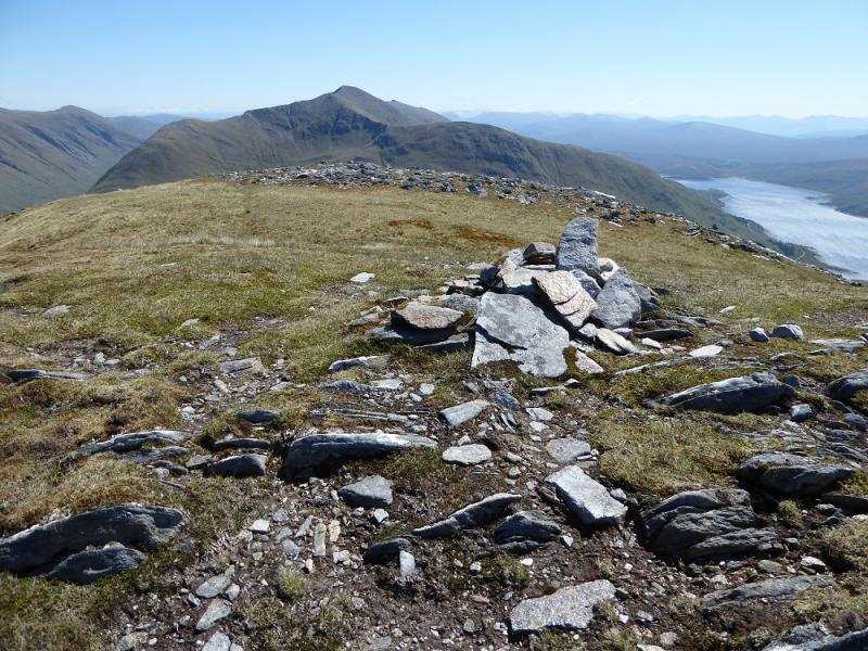
Sgurr a' Mhaoraich, 1027 m, NG 983 065.
Sgurr a' Mhaoraich Beag, 948 m, NG 977 067. OS sheet 33.
Introduction
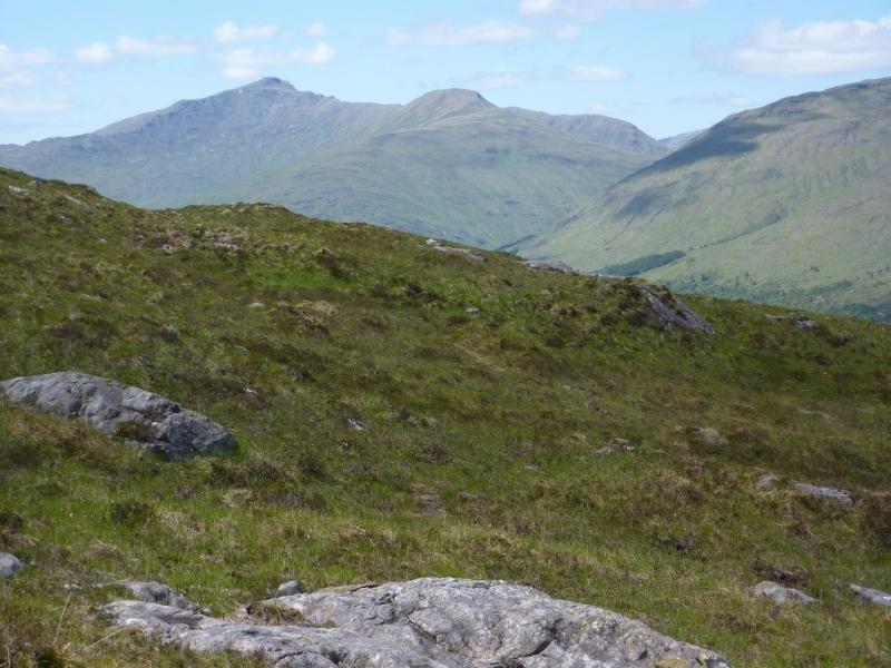
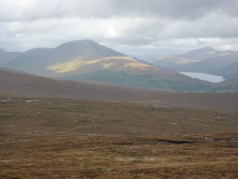
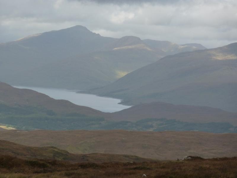
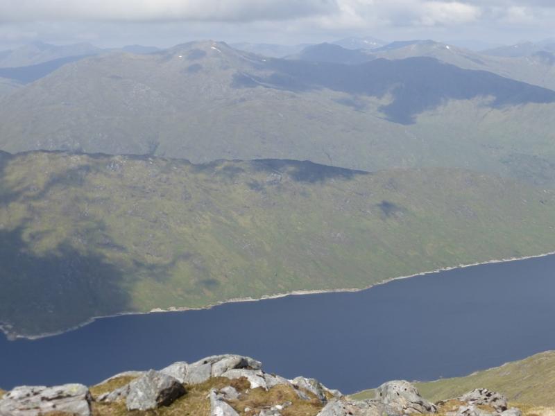
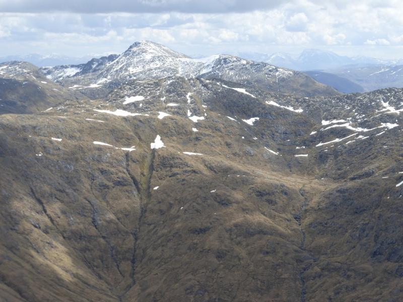
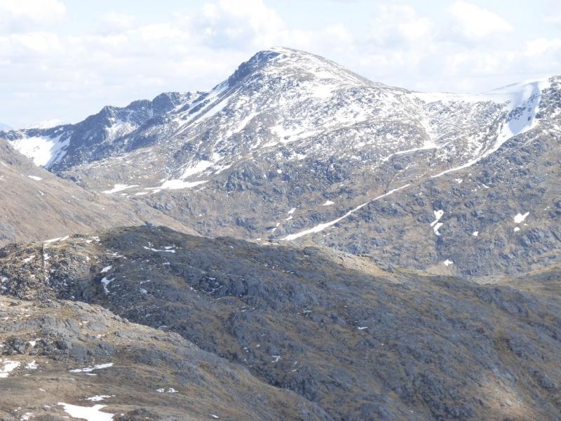
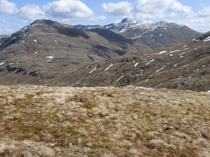
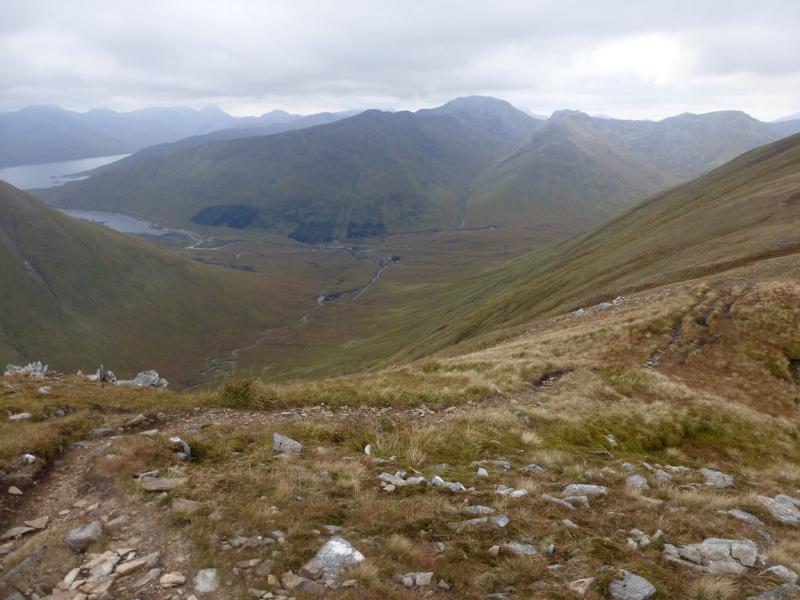
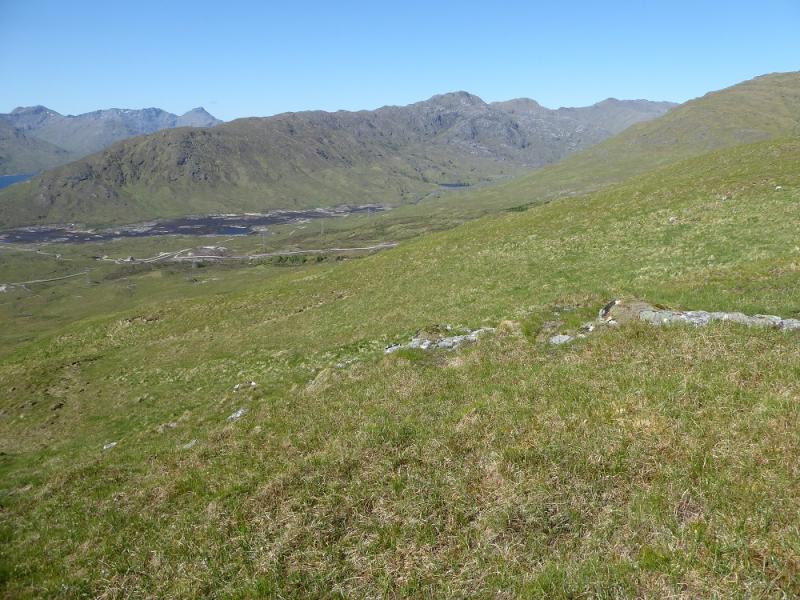
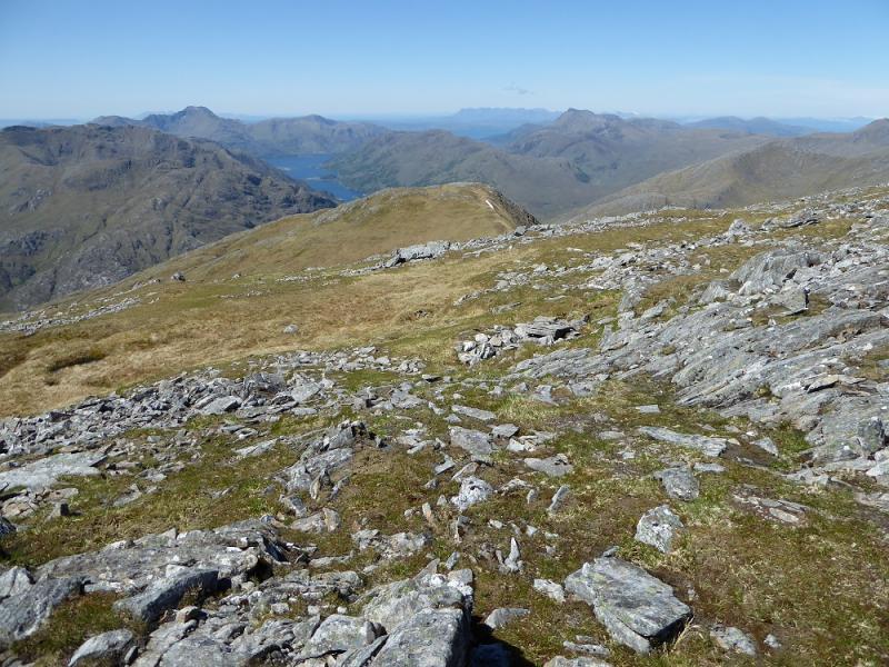
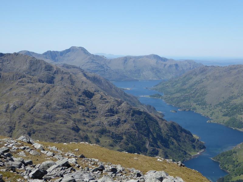
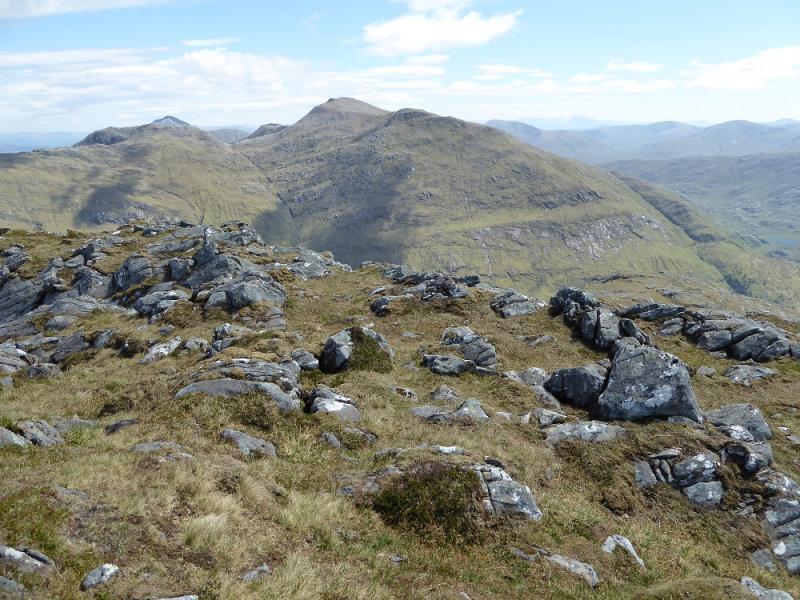
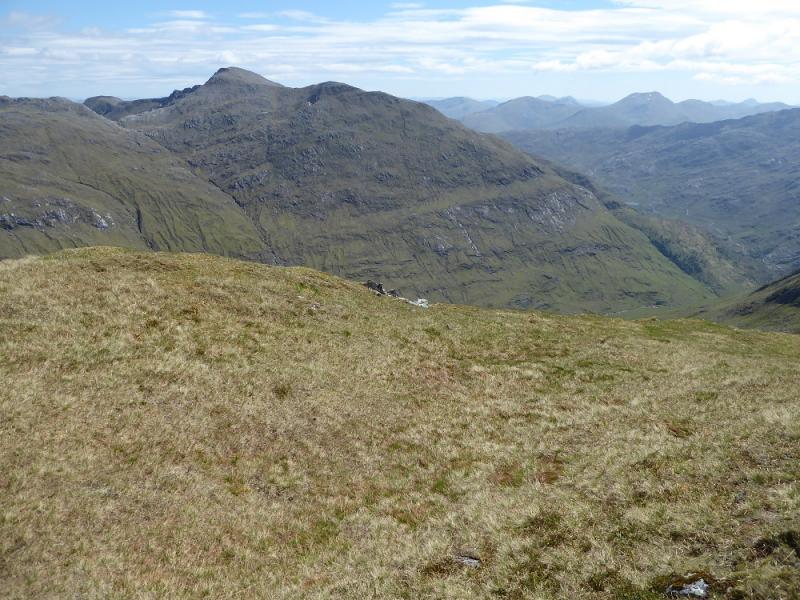
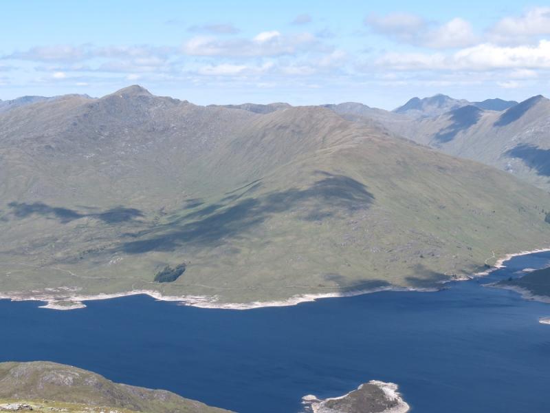
This is a relatively straight forward walk with a good path all the way to the main summit. The descent from Sgurr a' Mhaoraich Beag is down mainly pathless ground but on very good ground so is not problematical. The walk is best done in good weather as the views are superb and include all the other Loch Quoich hills, Knoydart, South Glen Shiel and even distant hills such as the Cuillin of Skye and Ben Nevis.
Route
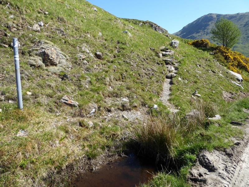
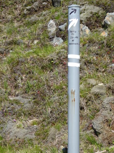
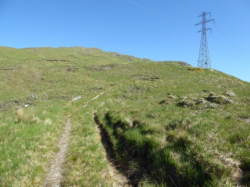
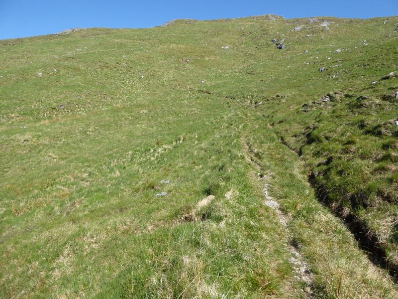
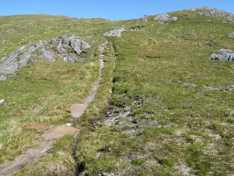
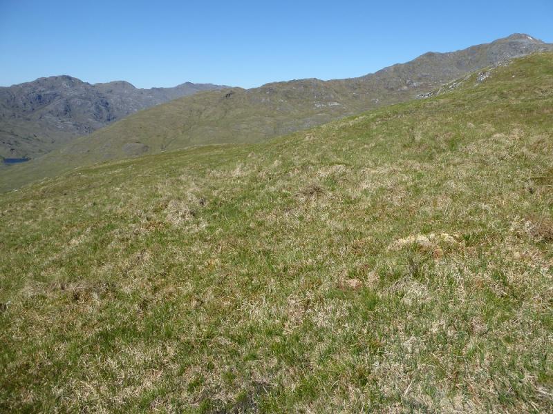
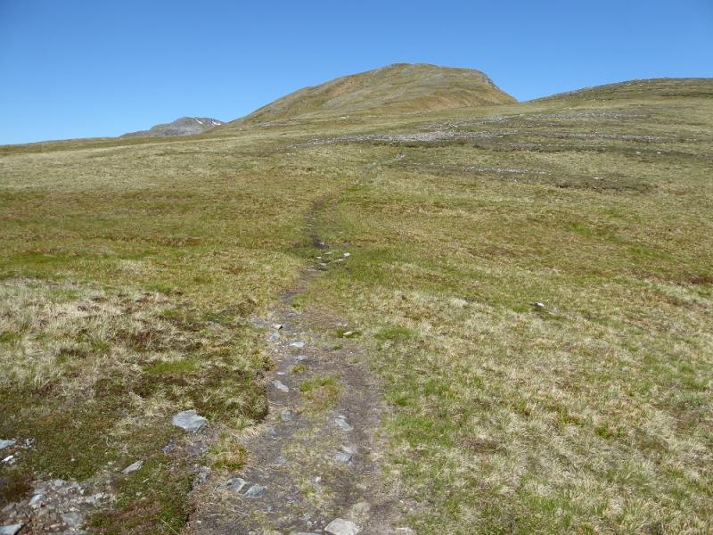
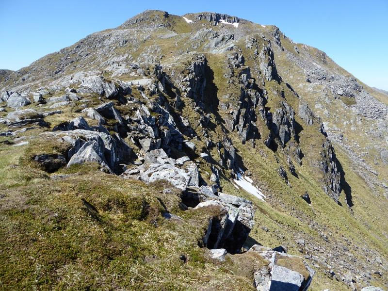
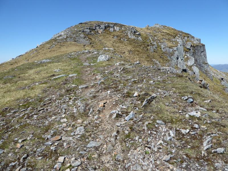
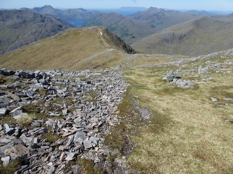
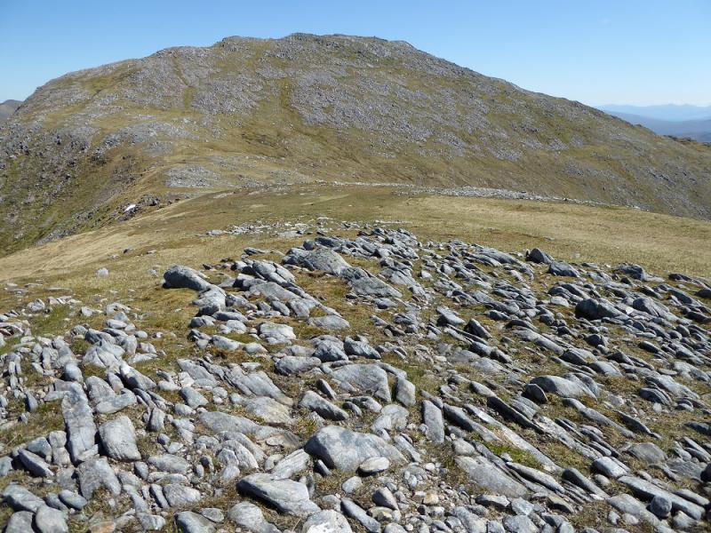
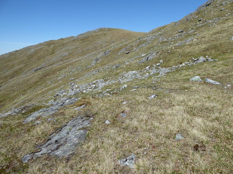
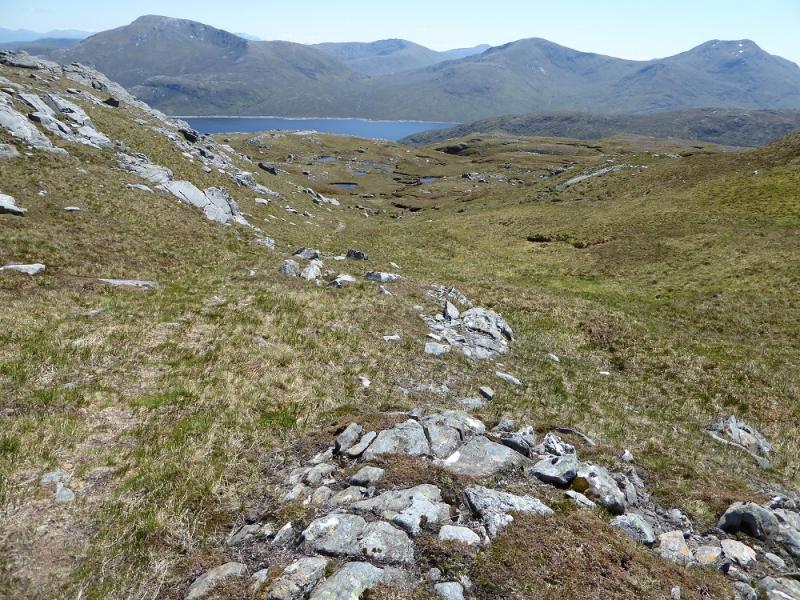
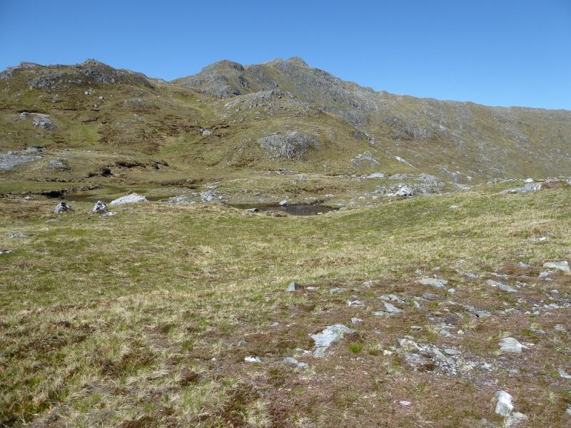
(1) Start up the path, marked by a metal pole, which is opposite the parking spot. Follow this well constructed path, with many zig–zags, up on to the Bac nan Canaichean ridge. Higher up, the path passes below the summit of Sgurr Coire nan Eircheallach (on its S side); it is only a short detour to visit the summit cairn. The path then descends NW then W before climbing up the rocky ridge ahead where all difficulties are avoided. Near the top, the path climbs steeply on the right of the final rocky section before a gentle ascent to the large cairn which is the summit of Sgurr a' Mhaoraich, 1027 m.
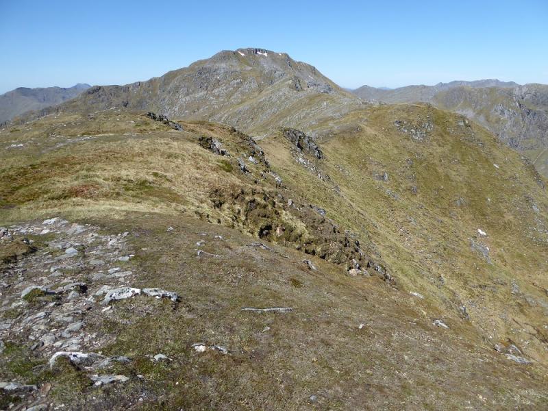
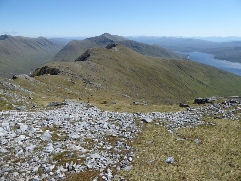
(2) In clear weather, Sgurr a' Mhaoraich Beag will be clearly visible to the W but do not take a direct line as this will involve much more descent and ascent. Instead, go NNW along the crest for about 300 m before turning W. Descend to a shallow col (there is a faint path) then ascend for about 300 m to a medium cairn which marks the summit of Sgurr a' Mhaoraich Beag, 948 m. The views W are nuch better from here than from the main summit.
(3) Descend SE from the summit, down easy grassy slopes and cross the open grassy corrie to gain a ridge coming down from the main summit. Continue traversing, in the same direction, until the last ridge is gained above Coire nan Eiricheallach. Follow this ridge, roughly S, down to the road. Much of the going is pathless but the ground is good and rarely steep. Reach the road about 2 km W of the start.
Notes
(a) This walk took place on 1st June, 2016, and twice before.
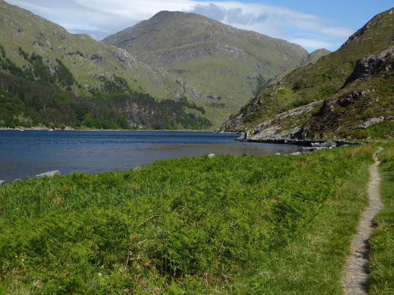
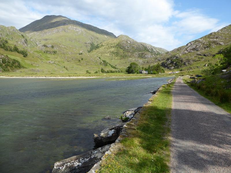
Photos - Hover over photo for caption. Click on to enlarge. Click on again to reduce.