Get Lost Mountaineering
You are here: Scotland » 03 North-west Argyll, Appin and Glencoe » Ballachulish & Connel to Loch Etive
Sgurr a' Choise & Meall Mor
Sgorr a’ Choise and Meall Mor from Ballachulish
Start/Finish
Ballachulish village. There is a car park at the tourist information office which is signed off the main A82 main road.
Distance/Time
15 km Approx 7 hours.
Peaks
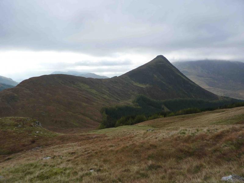
Sgorr a’ Choise, 663 m, NN 084 551.
Meall Mor, 676 m, NN 106 559. OS sheet 41.
Introduction
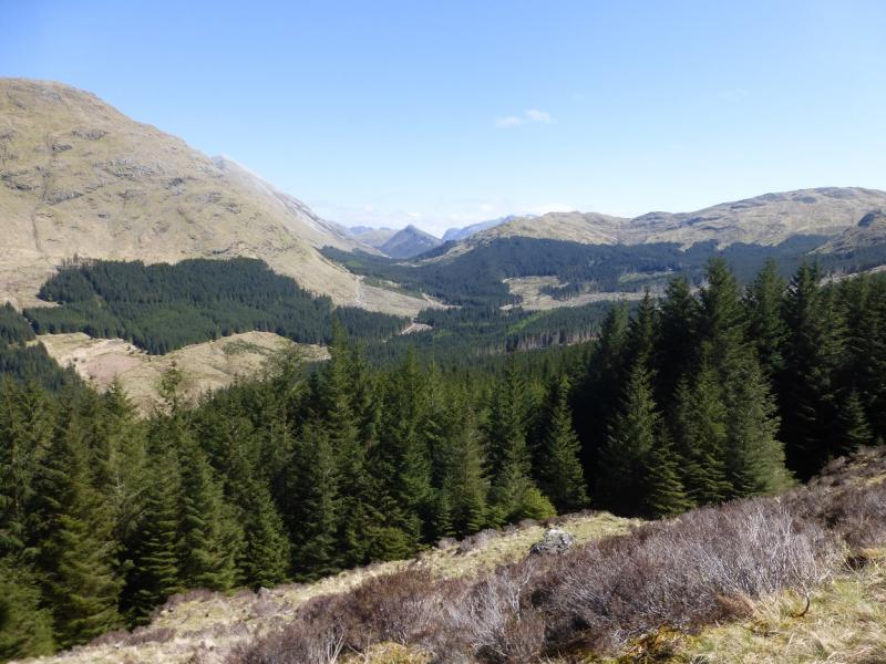
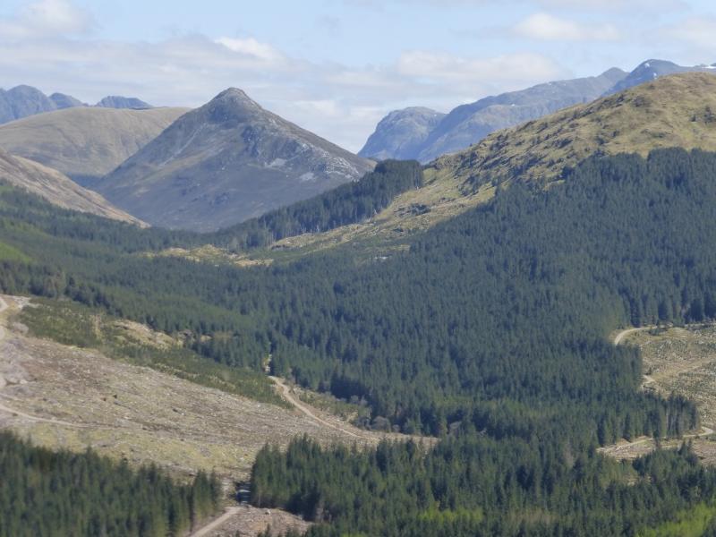
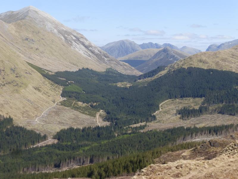
These Grahams require a fair amount of effort but, on a clear day, the views are spectacular to Bidean, Aonach Eagach, Beinn a’ Bheithir, Ben Nevis and the Mamores. There is a short section of pathless, dense forest to negotiate on the return.
Route
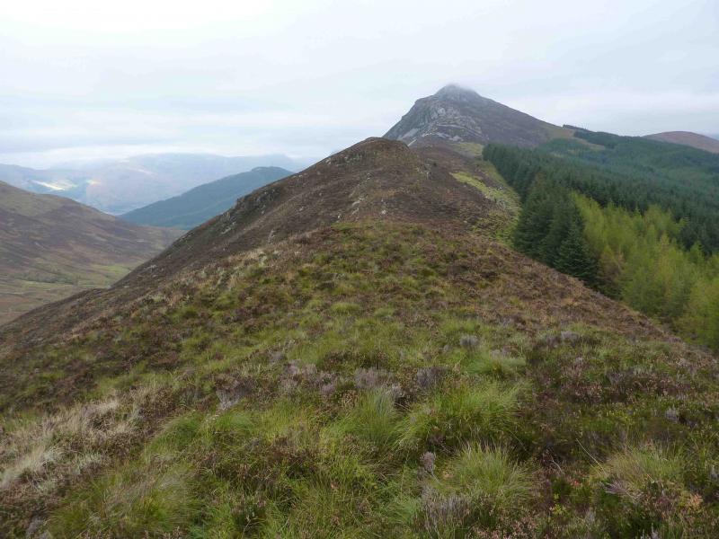
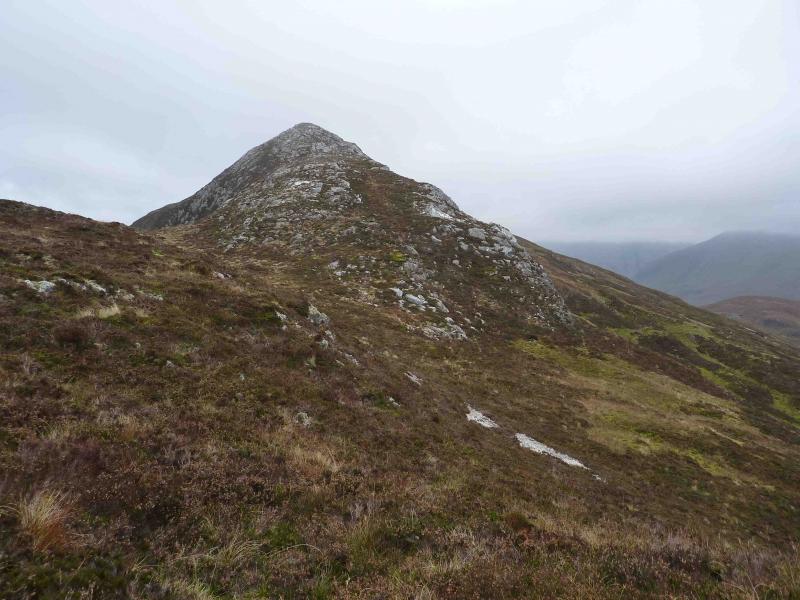
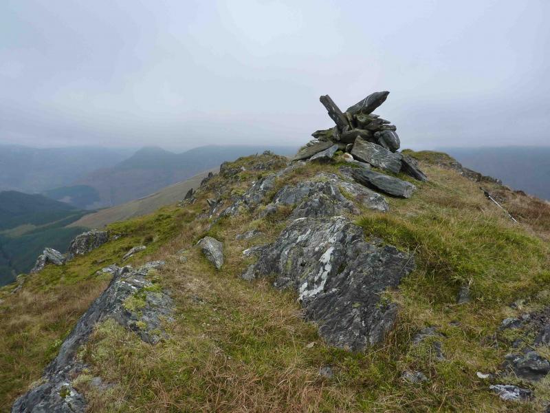
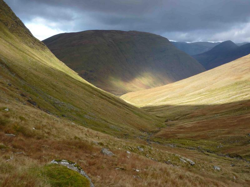
(1) Walk out of the car park on to the road and turn right past the hardware store. Turn left past the Co-op and playing fields. Cross the river and turn left to go past the school. Walk to the end of the road and continue on the track through some gates. The track soon becomes a path. Continue on the undulating path for about another 3 km until it descends almost to the river. Look out for a cairn, marked on the map, near to where the path splits. Take the left fork and follow the river bank to a large meander with a gravel bed on its N bank and a cluster of small trees/bushes on its N side. On the opposite side of the river is a single small tree/bush next to which is a cairn marking the start of the path up to the ridge. This cairn can be difficult to spot and might be washed away in a flash flood. Another indicator of the crossing point is that there is a green area of trees about halfway up the ridge at this point. Keen sighted walkers may also spot 2 posts on the crest of the ridge. On the approach, conifers can be seen poking out at the top of the ridge which is also the lowest point between the pointed Sgorr a’ Choise and the long ridge to Fraochaidh. From the cairn on the S side of the river, a wet path leads up to the crest of the ridge at the point where there is a large stile into the Glen Creran Forest at the boundary of the evergreen and deciduous trees. Do not enter the forest but stay on the ridge walking NW on a faint path close to the forest boundary fence. Some intermittent rusty fence posts appear which go all the way to the summit. Initially on the ridge, there is a little descending then a few very minor grassy tops which can be bypassed on the forest side on a faint path. Once the foot of the SW ridge of Sgorr a’ Choise is reached, the path becomes much more distinct and climbs steadily to reach the medium summit cairn of Sgorr a’ Choise, 663 m.
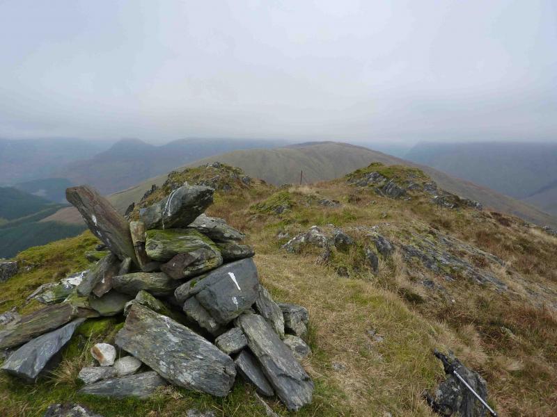
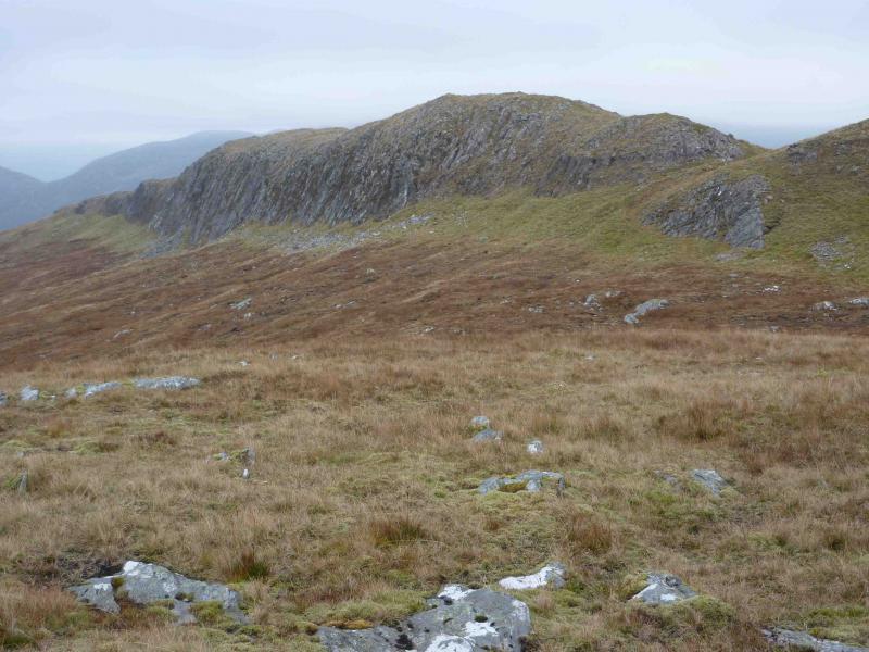
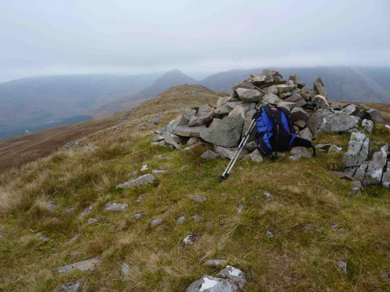
(2) Descend SE on an intermittent path down a well defined broad grassy ridge (initially rocky) following some old fence posts down to a level section just before a minor top which can be traversed on its N side to reach a grassy bealach at about NN 097 548. Ascend N up a broken grassy/stony ridge to reach the summit ridge. Follow the crest mainly NE to reach the medium cairn of Meall Mor, 676 m, which has a 150 m long cliff on its NW side.
(3) Retrace along the crest and follow it W then NW down a grassy ridge to the forest. Aim for the obvious fire break (ride) just to the left of a jutting out triangle of trees. Follow the fire break, often boggy, until it virtually runs out with a clearing on the right. Continue ahead through the trees, many of which have fallen, until, after much effort, a land rover track is reached which can be followed uphill to a large telecommunications aerial. Cross the fence (stile) behind the aerial and walk down a grassy path which follows the edge of the forest to reach a better path lower down which leads back to the tourist information office.
Notes
(a) This walk took place on 13th October, 2010.
(b) Local information suggests that the Forestry Commission are currently building a new road to harvest the trees in this area. It looks like they will be building this new road across the bealach to the NW of Meall Mor and it will link the service road to the aerial with the forestry track from Ballachulish on the E side of the river (the path on the W side was used as the outward route). If this project is completed then the route from Meall Mor back to Ballachulish will become much easier and there will no need to fight one’s way through the forest to the aerial.
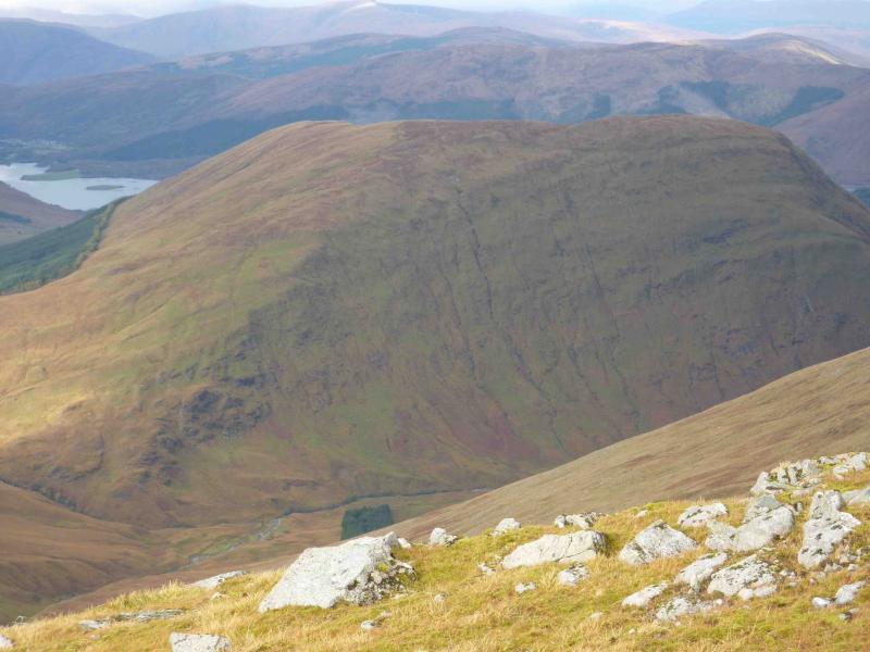
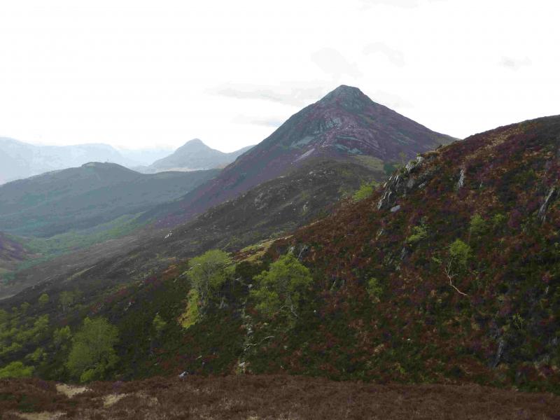
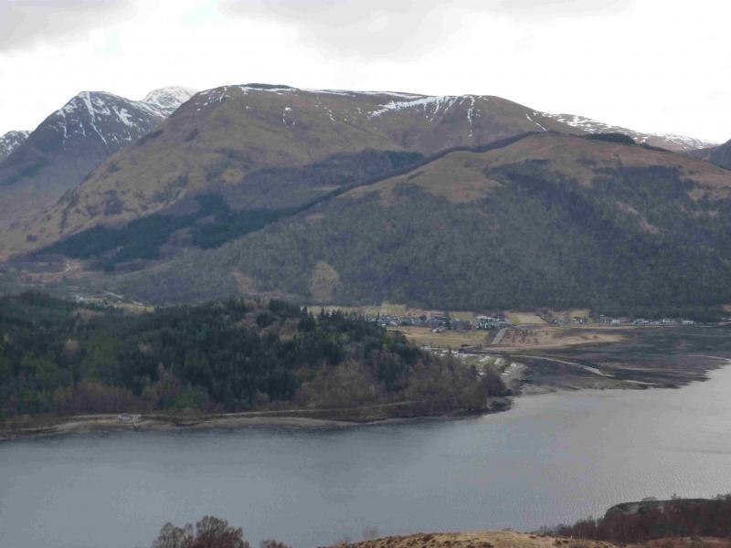
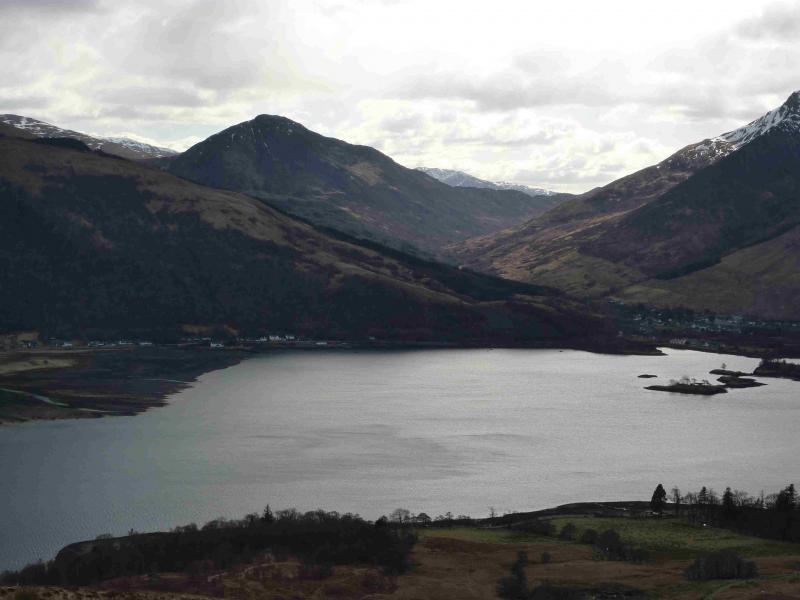
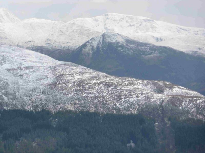
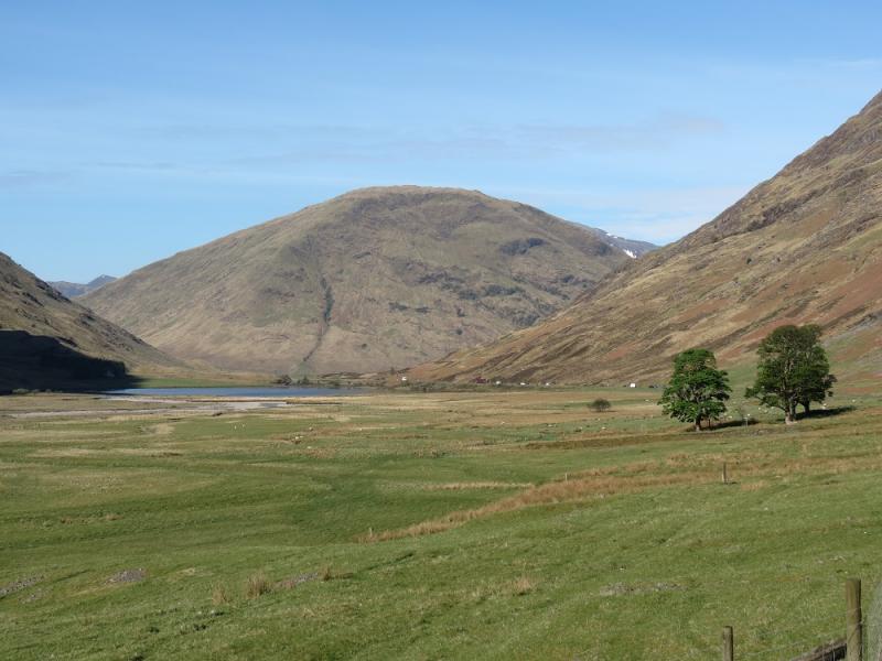
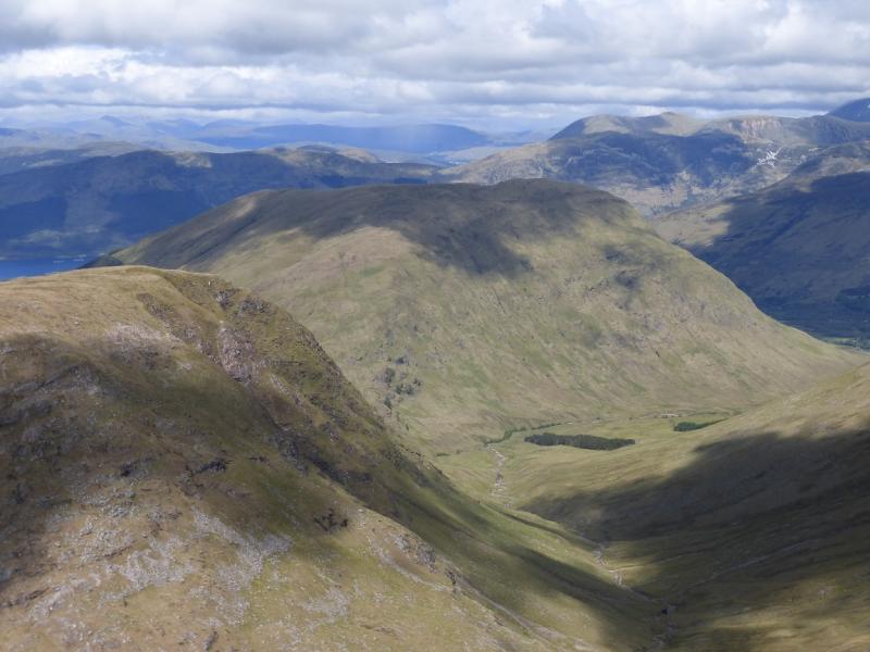
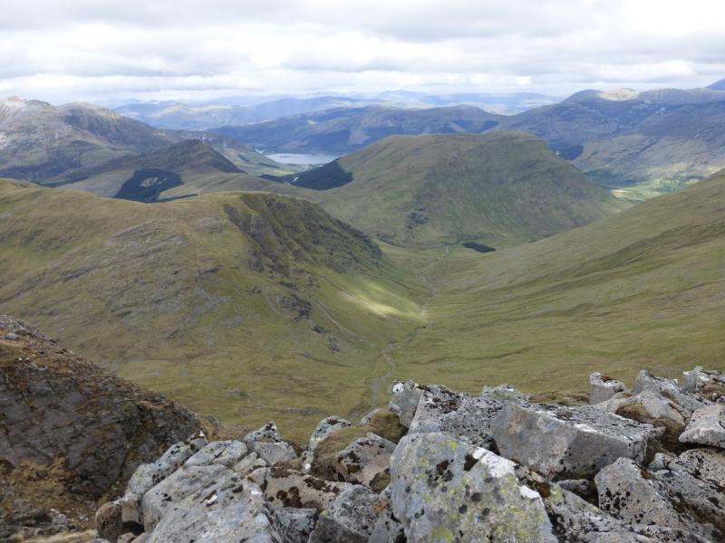
Photos - Hover over photo for caption. Click on to enlarge. Click on again to reduce.