Get Lost Mountaineering
You are here: Scotland » 10b Loch Eil to Glen Shiel » Knoydart & North of Loch Quoich
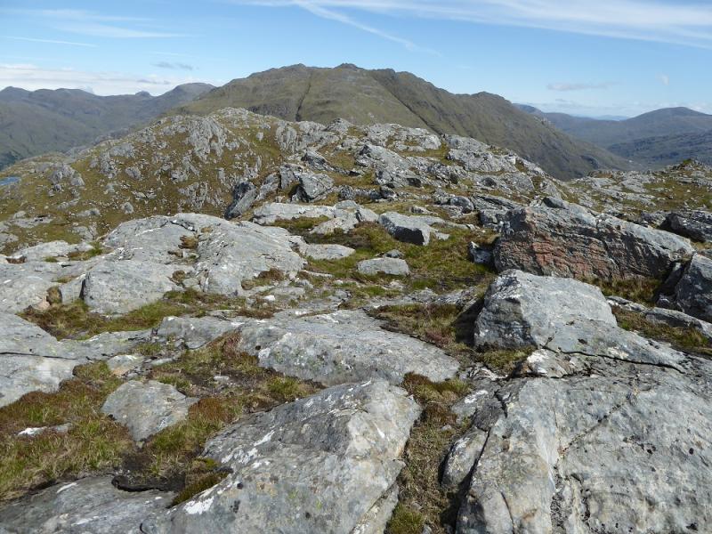
Meall nan Eun from Kinloch Hourn
Meall nan Eun from Kinloch Hourn
Start/Finish
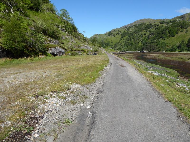
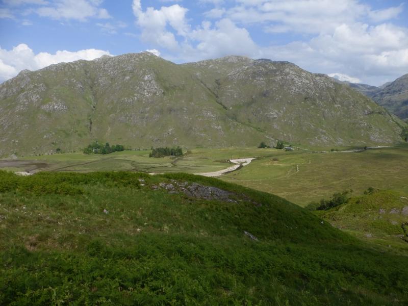
Kinloch Hourn which is the end of the 22 mile long road which leaves the A87 road to Skye a few miles west of Invergarry. Invergarry is about 25 miles north of Fort William on the A82 road to Inverness. The road is not too bad until the end of Loch Quoich but after that it gradually deteriorates. The final descent into Kinloch Hourn is very narrow (anything wider than a car will struggle) with very few passing places on a road which is rapidly deteriorating into a rough track. There is plenty of parking for which the charge is £1. There is a simple cafe open during the day in season.
Distance/Time
14 km About 6 – 7 hours
Peaks
Meall nan Eun, 667 m, NG 903 052. OS sheet 33.
Introduction
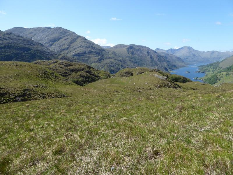
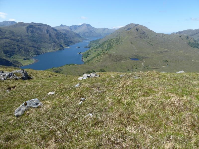
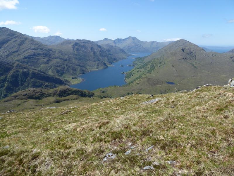
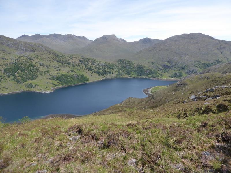
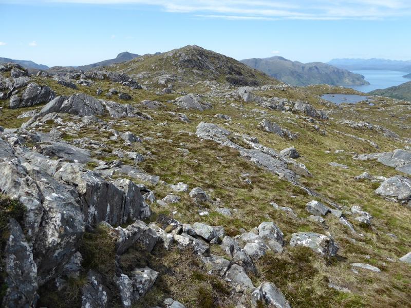
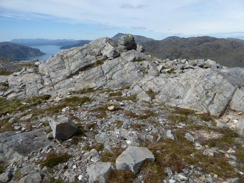
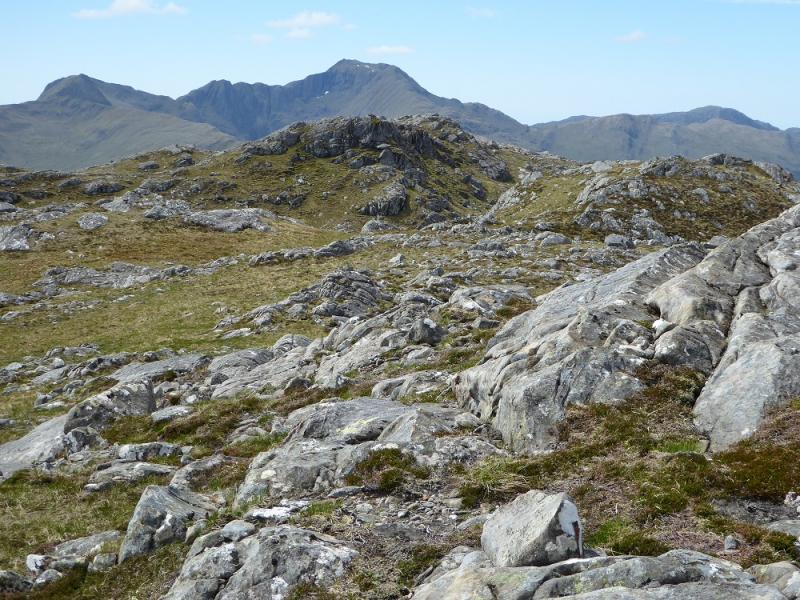
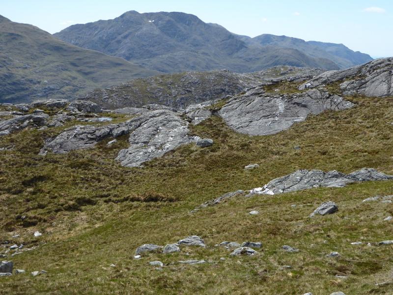
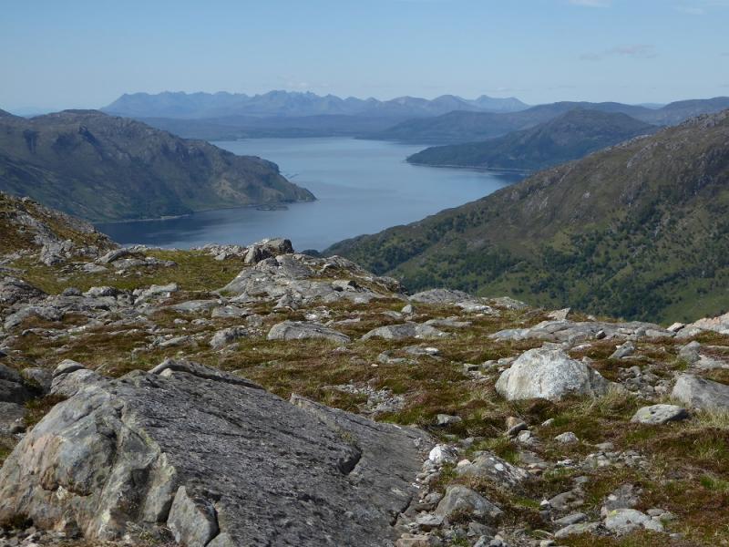
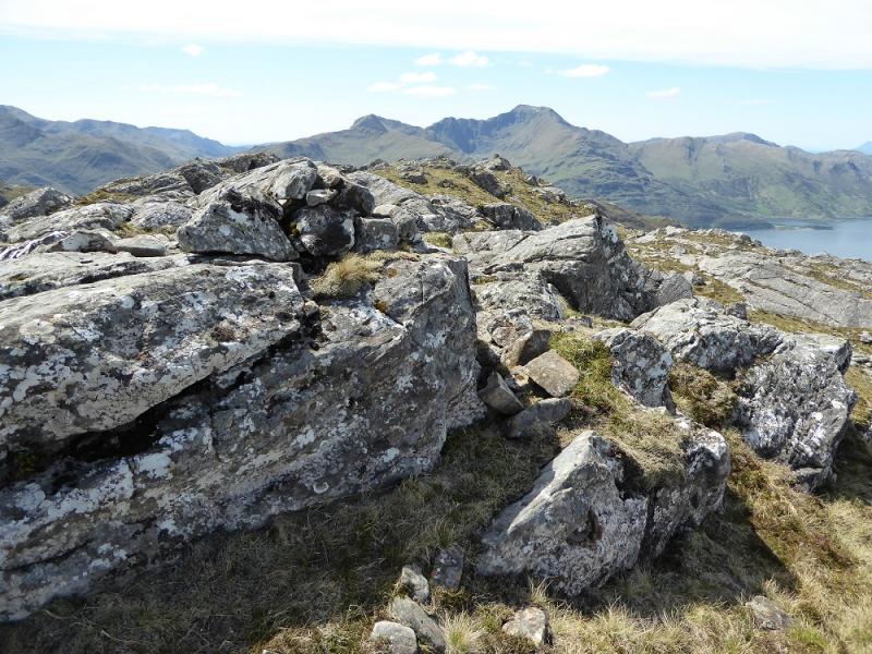
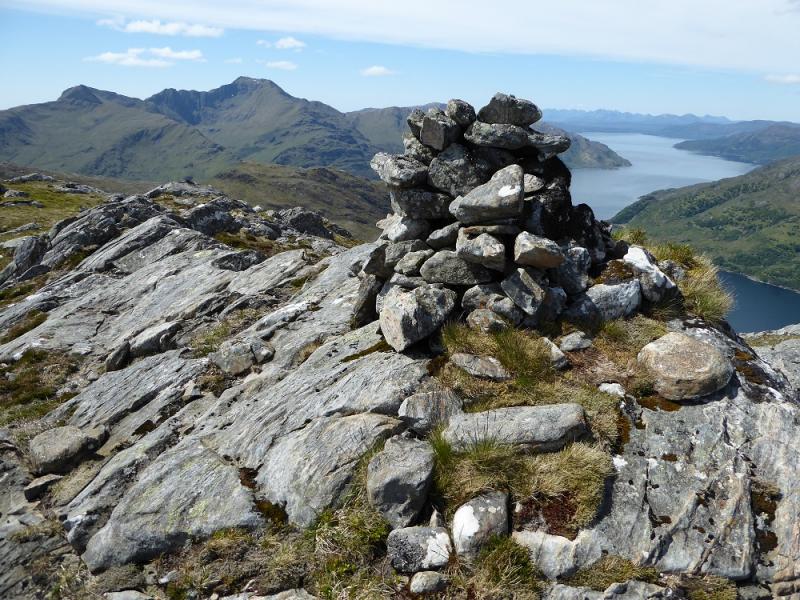
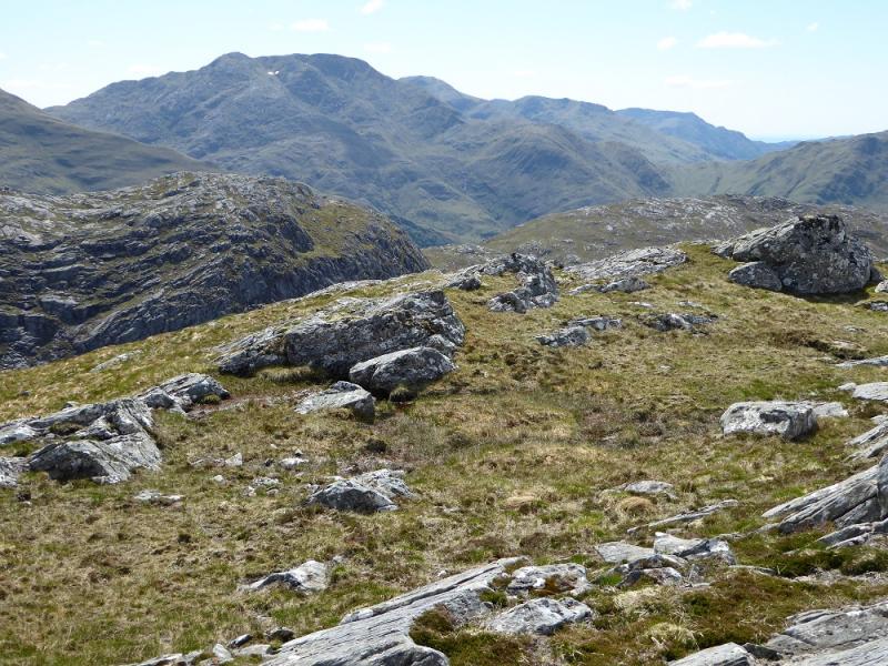
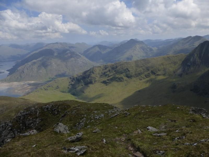
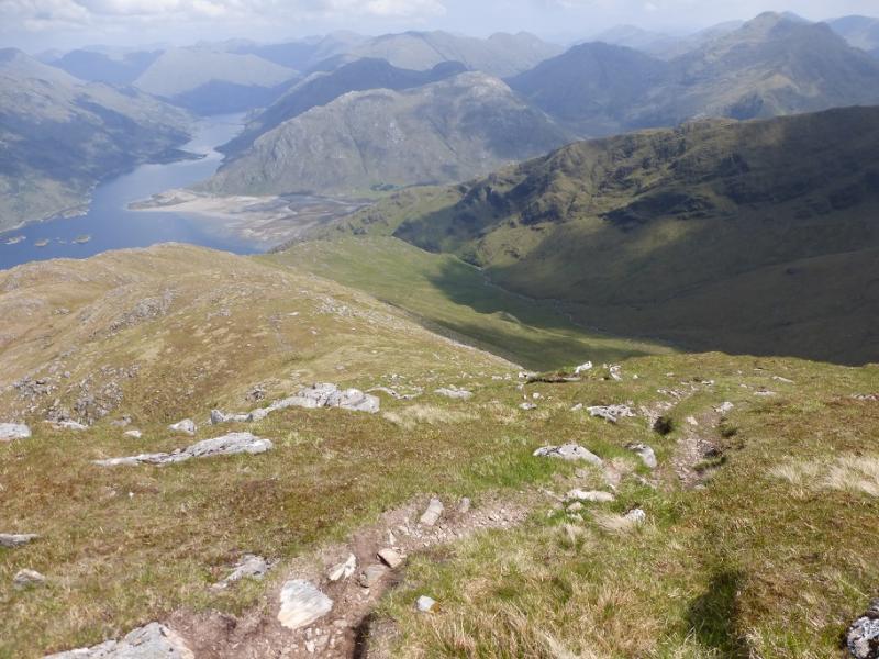
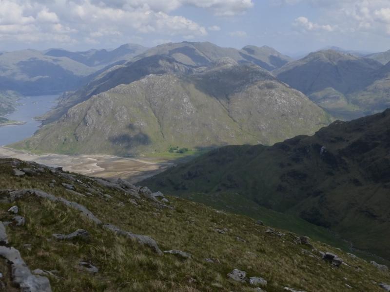
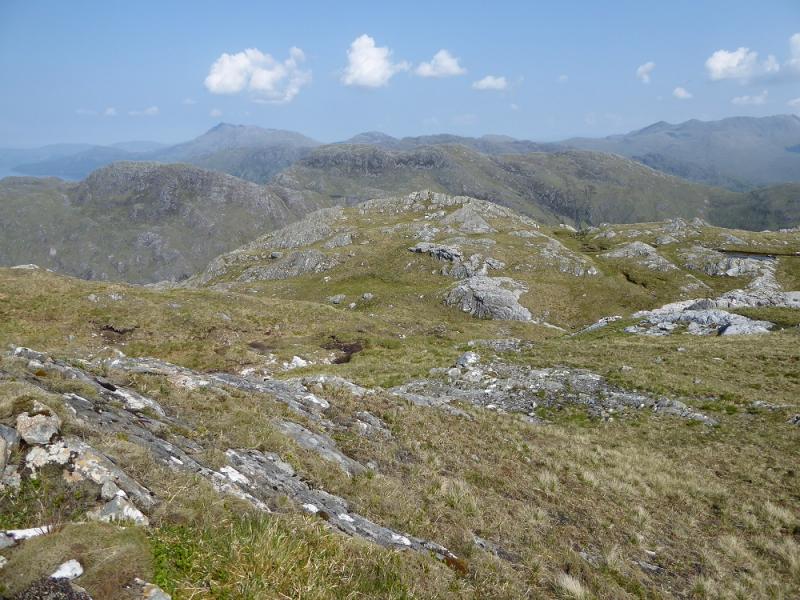
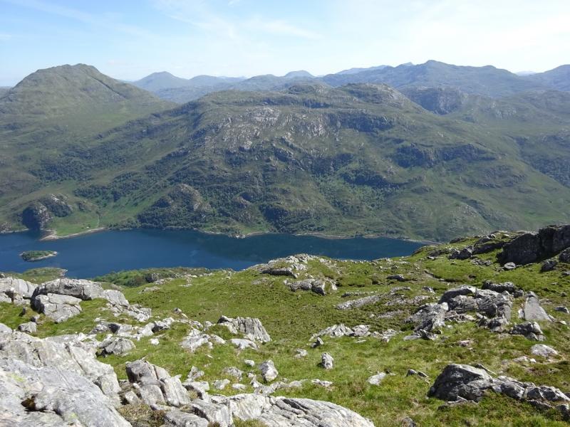
This is a tougher walk than one might expect from the height of the hill but it is an excellent viewpoint with excellent views to Druim Fada, the South Glen Shiel Ridge, The Saddle, Sgurr na Sgine, Sgurr nan Eugallt and Sgurr a' Mhaoraich. There may be some doubt about where the true summit lies. There are three main tops on the crest. Many guide books and Munros Tables have the Central Top as the summit but the West Top may be higher so it is included just in case the summit is revised at a later date. The West Top is at NG 899 051 and it lies across a gap from the Central Top.
Route
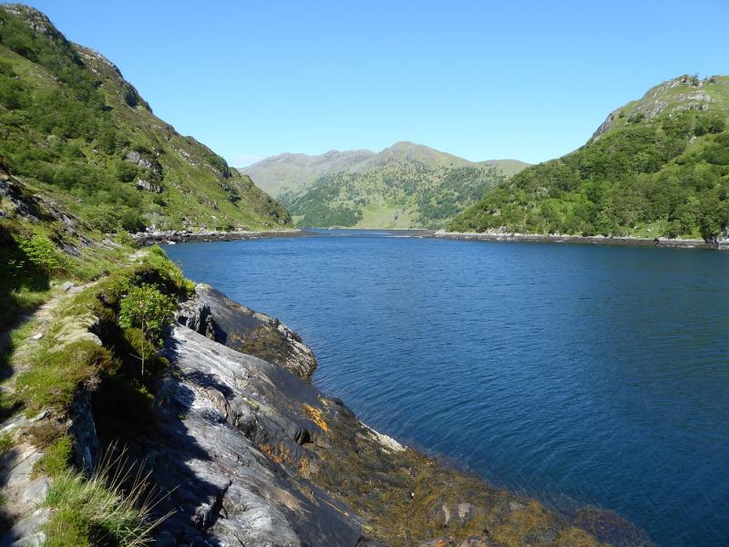
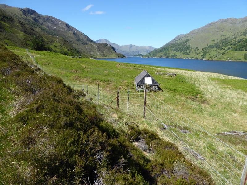
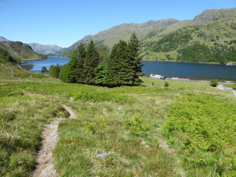
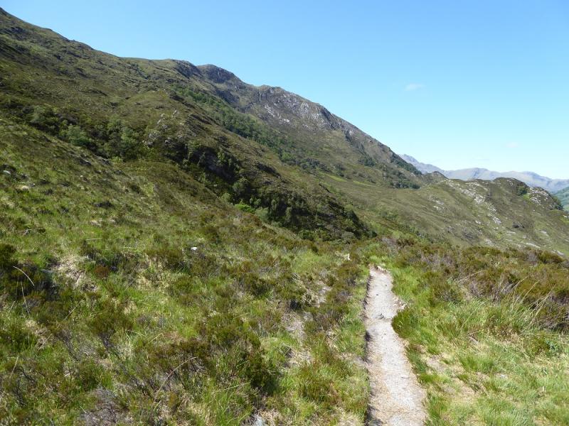
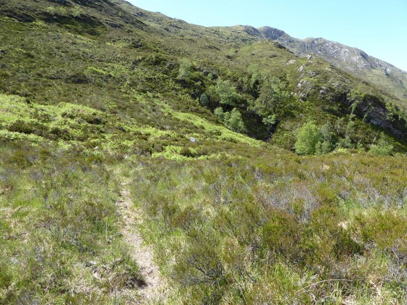
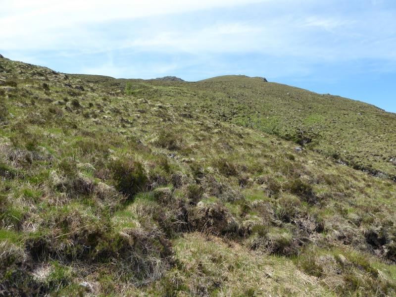
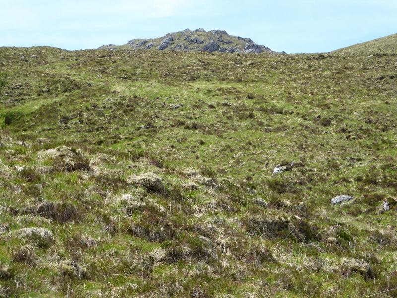
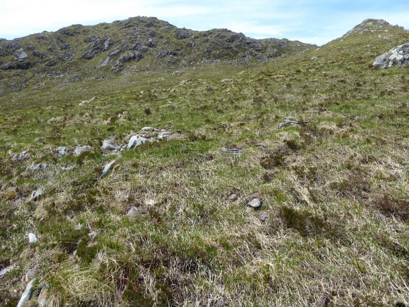
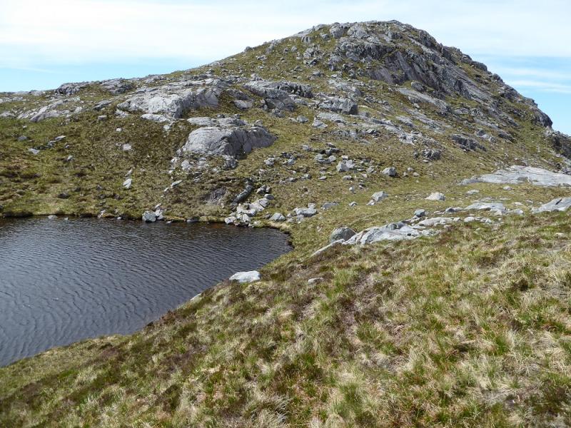
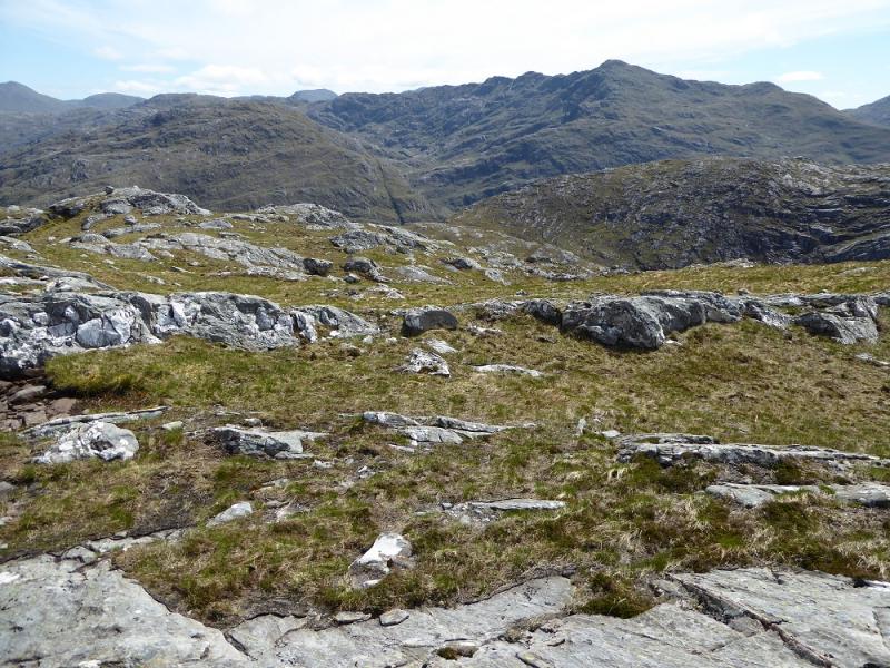
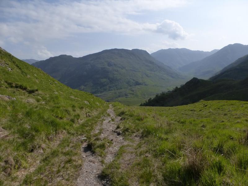
(1) Continue along the road to its end where a path takes over which ultimately leads to Barrisdale in Knoydart. Follow this, rough in places, for about 2 km, to past the house, behind the conifers, at Skiary. Continue to the top of the first headland, about 1 km further. Leave the main path and follow a faint path, on the left which ascends roughly SSW. The path is faint in places and crosses two streams which present no problems in a dry spell. Higher up, aim for the ridge going off to the right and gain its crest which heads WSW. In clear weather, the E Top will be seen to the S. Follow the crest and pass to the N of the E Top. The ridge soon runs out but a lochan should be directly ahead. Go past it and ascend up to the crest which has two outcrops but no cairn even though this is the summit in some guides. On 3/6/16, it looked like a previous cairn had been taken down. This might be the summit of Meall nan Eun, 667 m. The W Top, and possible summit, lies about 500 m WSW across a gap about 40 m deep. It has a cairn on it and a lower cairn a little further.
(2) Retrace the outward route.
Notes
(a) This walk took place on 3rd June, 2016, and once before.
Photos - Hover over photo for caption. Click on to enlarge. Click on again to reduce.