Get Lost Mountaineering
You are here: Scotland » 12 Glen Cannich to Glen Carron » Cannich & Loch Mullardoch to Loch Long
Aonach Buidhe & Faochaig from Killilan
Aonach Buidhe & Faochaig from Killilan
Start/Finish
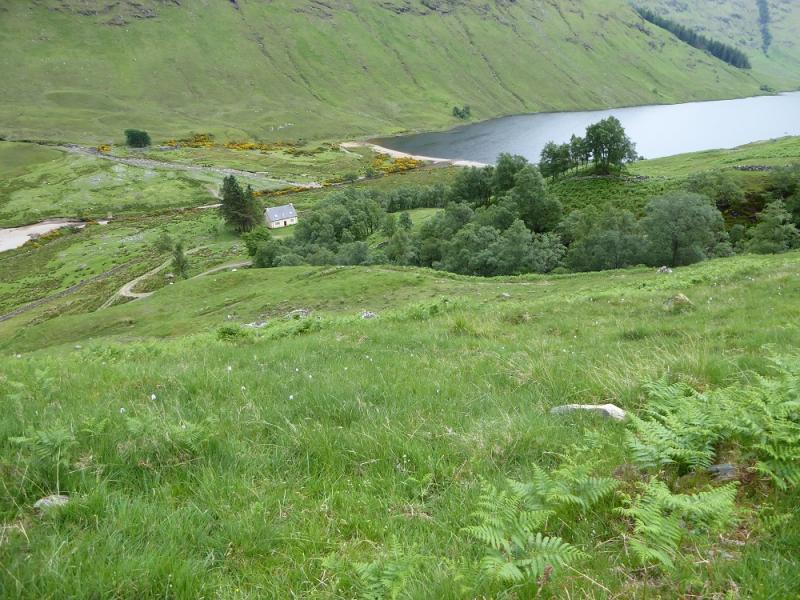
Car park at the entrance to the Inverinate Estate at Killilan. The signed turning for Killilan is about a mile west of the bridge at Dornie. The narrow road follows the NW side of Loch Long (well named!) for about 5 miles. The car park is just after the right turn for Cams-luinie which is just after a major bridge over the River Ling. There is a fair amount of parking but it can fill up early as many long walks start from here. Dornie is about 9 miles east of the Kyle of Lochalsh on the A87 road from Invergarry.
Distance/Time
20 km bike + 15 km walk About 10 - 11 hours
Peaks
Aonach Buidhe, 899 m, NH 058 324.
Faochaig, 868 m, NH 022 317. OS Sheet 25.
Introduction
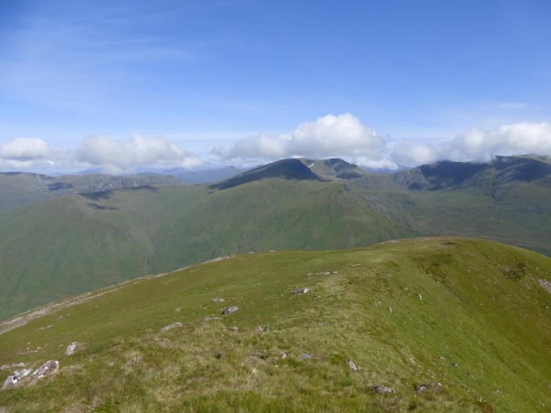
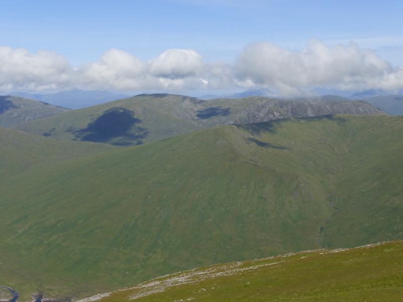
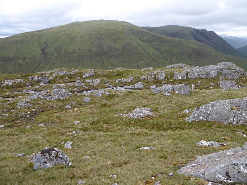
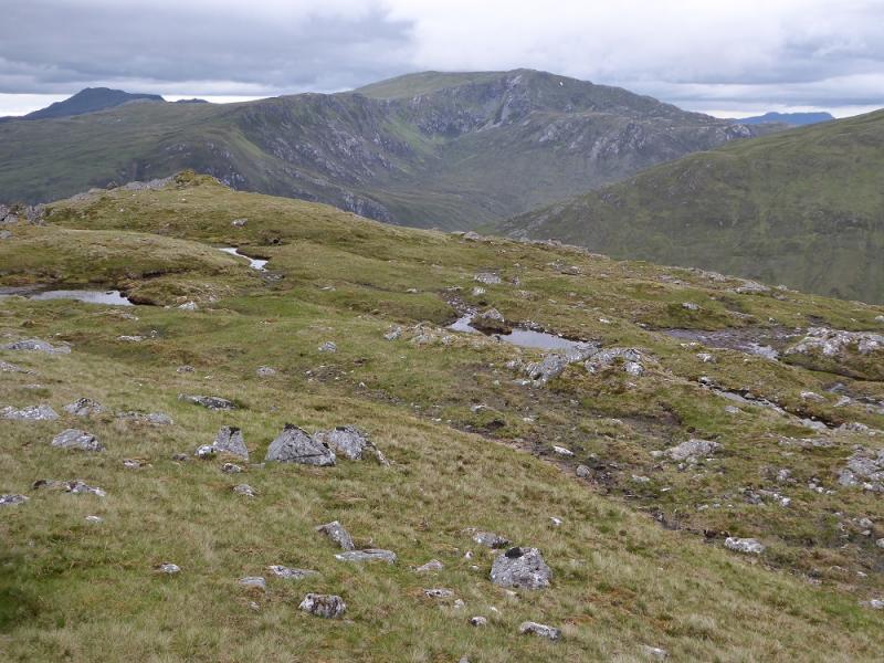
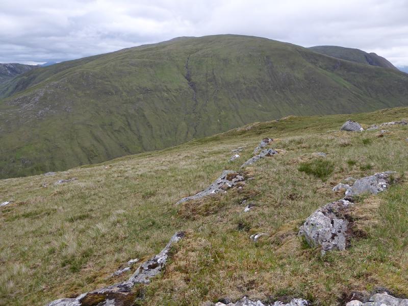
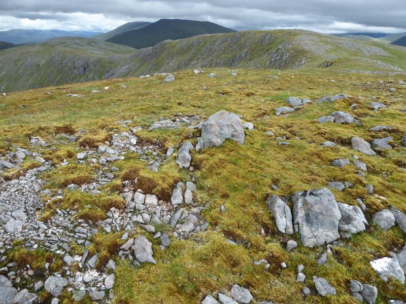
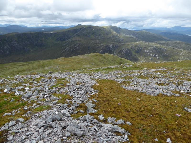
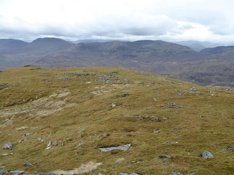
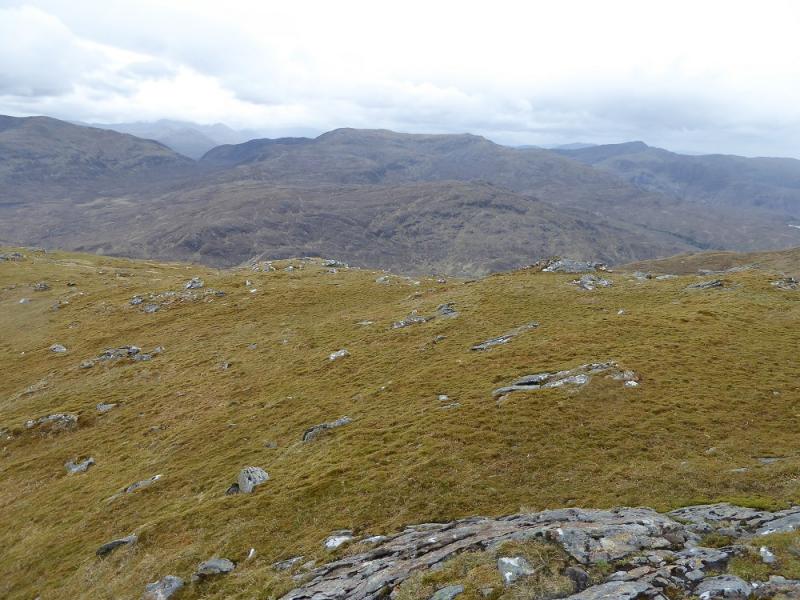
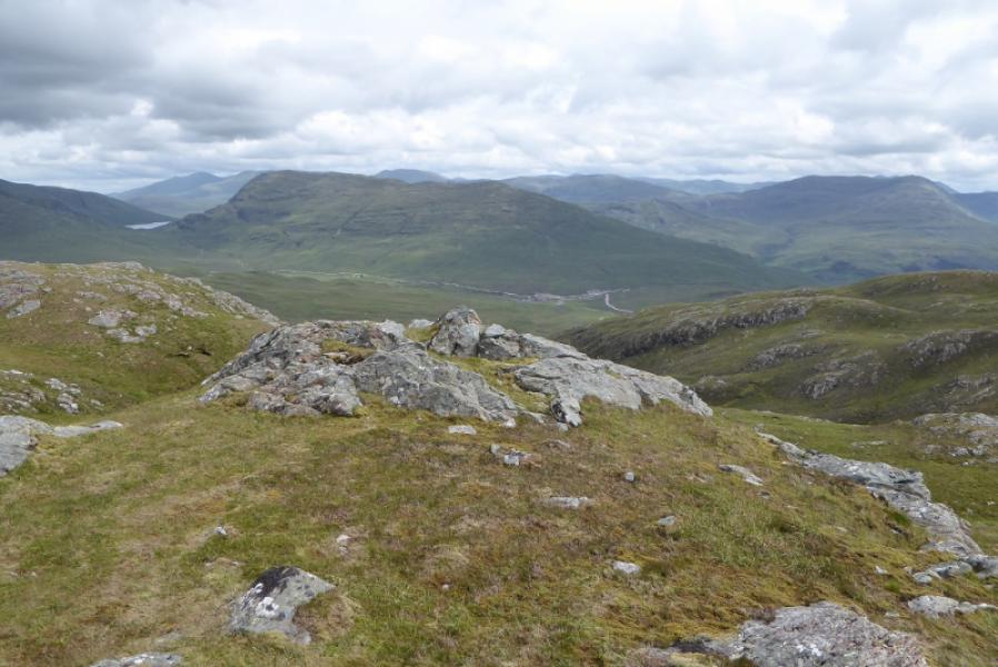
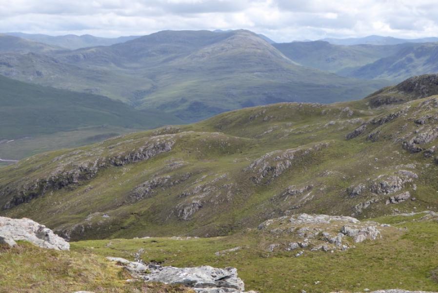
This is a big walk which is tough in places and would be much longer without a bicycle. Glen Elchaig is a lovely glen which is pleasant to cycle up with no major climbs and part of the way is a tarmac road. There is no path on Aonach Buidhe or on the upper part of Faochaig and navigation could be difficult in mist. Both hills are superb viewpoints for the Lurg Mhor range, Beinn Dronaig and the Glen Affic Munros.
Route
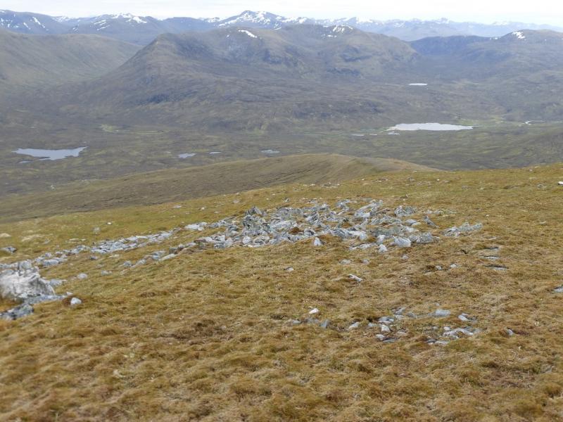
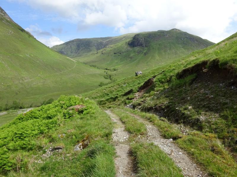
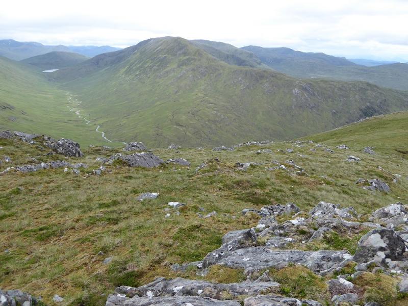
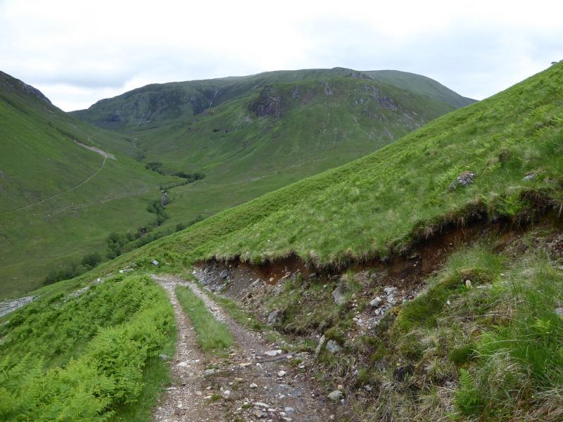
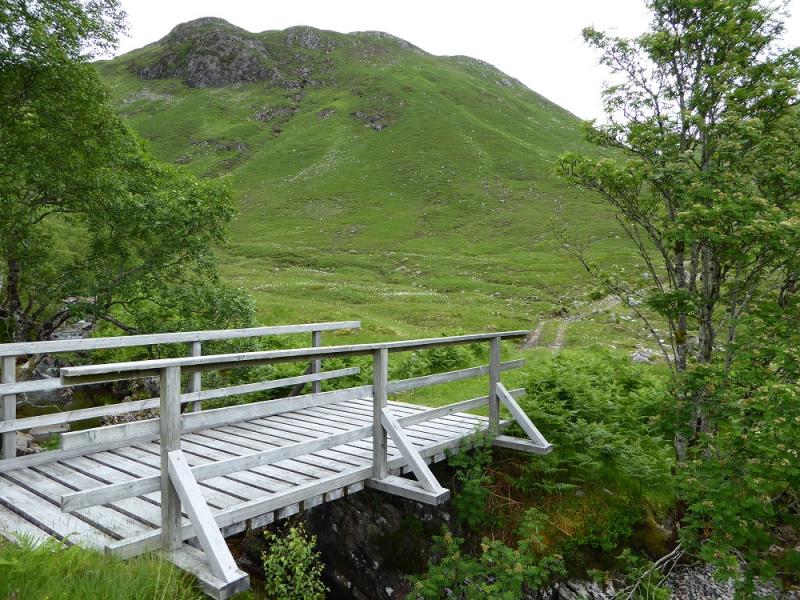
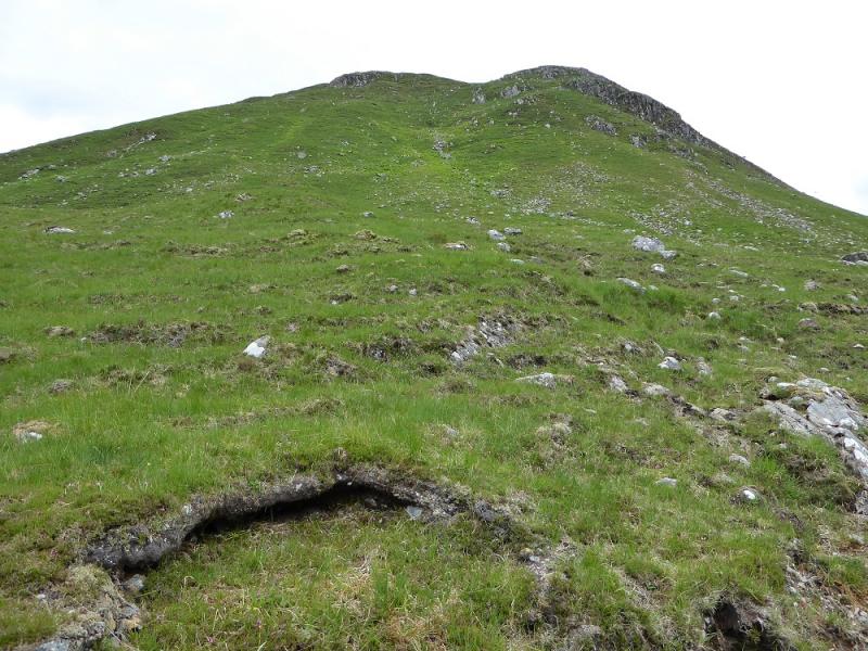
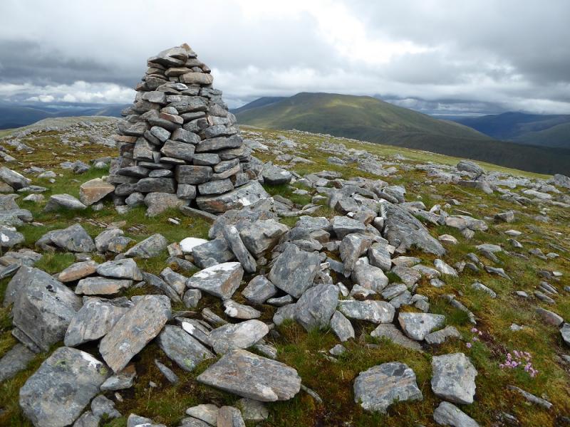
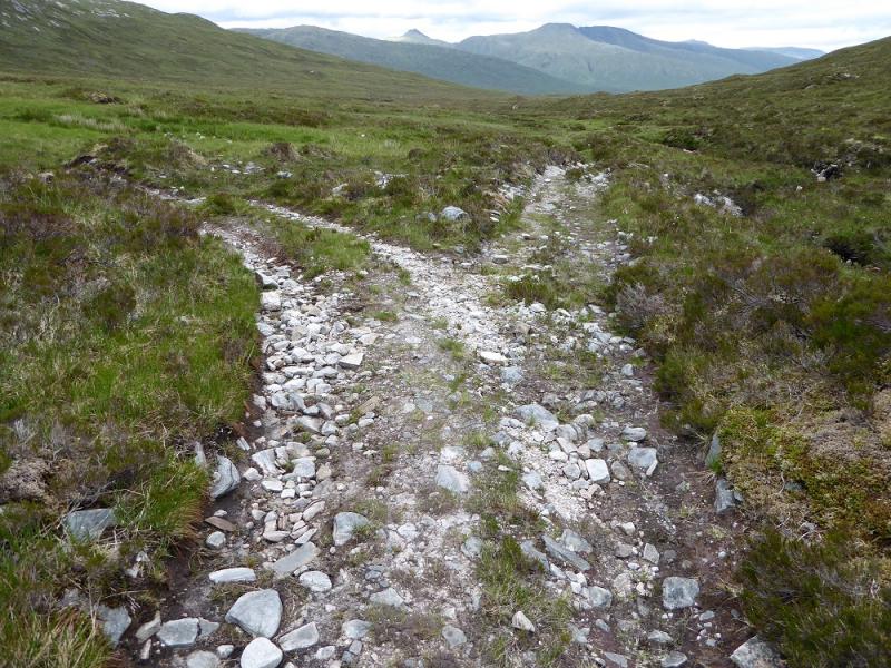
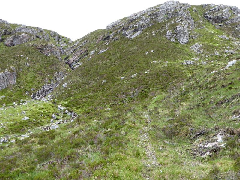
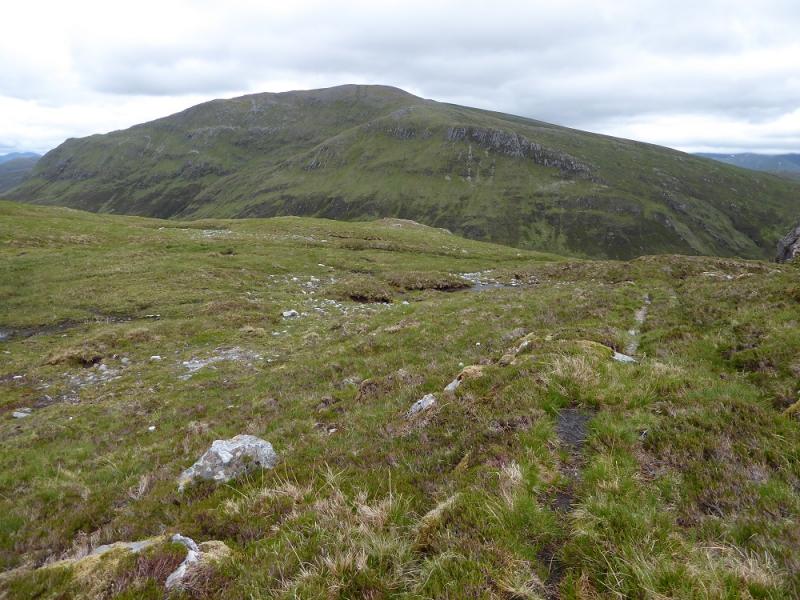
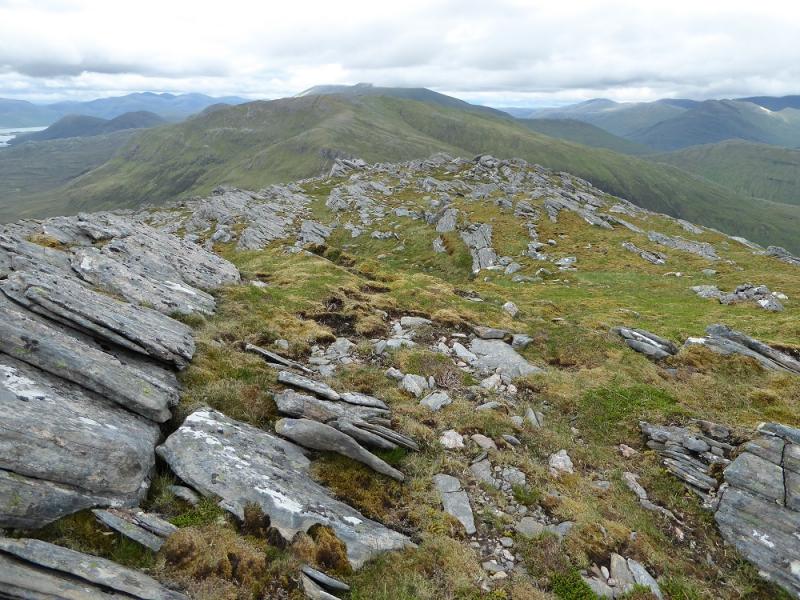
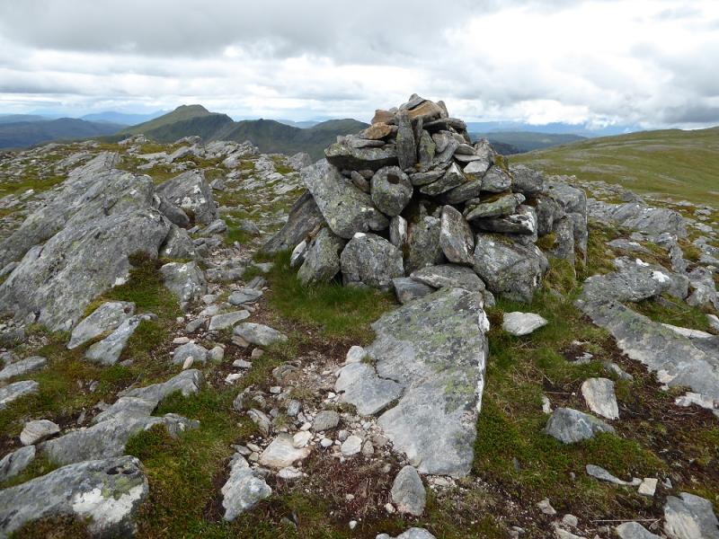
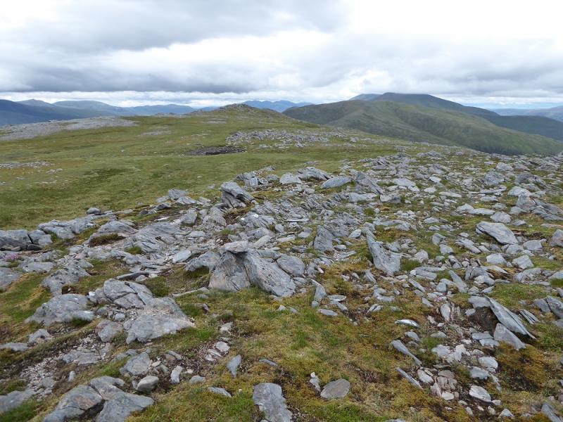
(1) Cycle up Glen Elchaig to Carnach which is just past Loch na Leitrach. Leave bikes here. Continue on foot for about 2 km to Iron Lodge but don't turn right for the lode. Instead, continue ahead then ignore the left fork which goes N between Faochaig and Aonach Buidhe. Once over the bridge, go about another 300 m then leave the track and start up the steep grassy corner. Any crags are easily avoided. After these, there is a flatter section before the ascent steepens on what is very open hillside, some of the most featureless you will see. Continue up, with the gradient slowly easing, to reach a broad crest where a well built medium cairn marks the summit of Aonach Buidhe, 899 m.
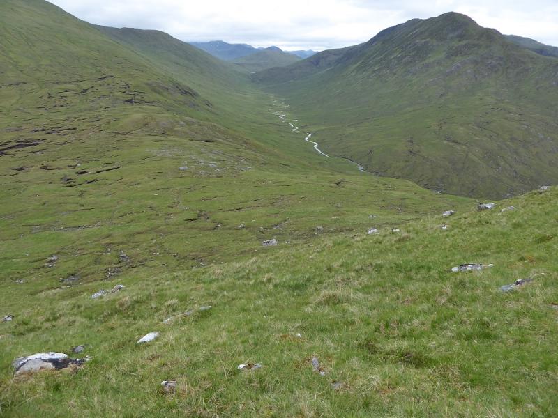
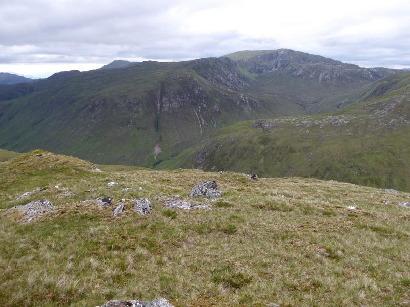
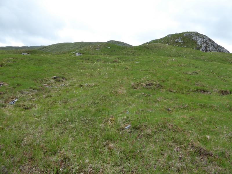
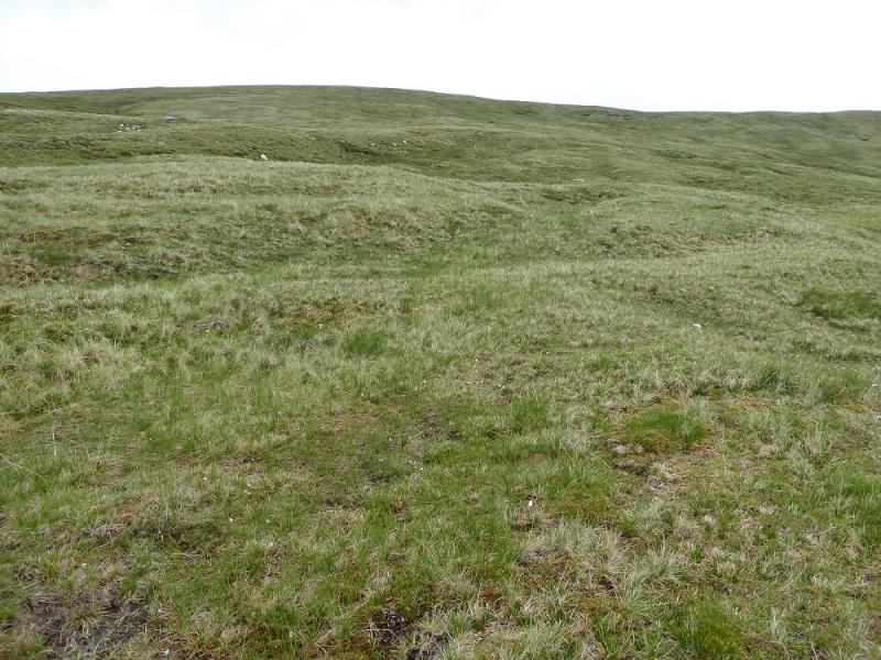
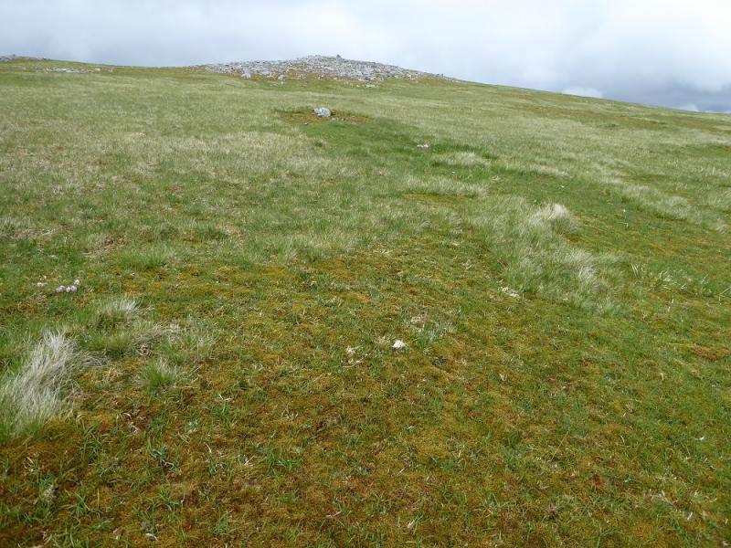
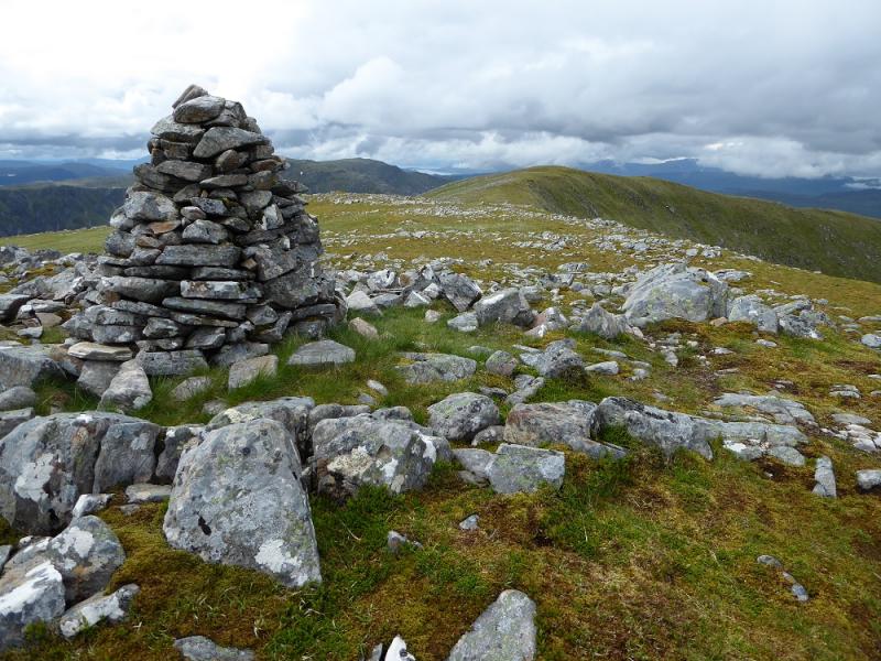
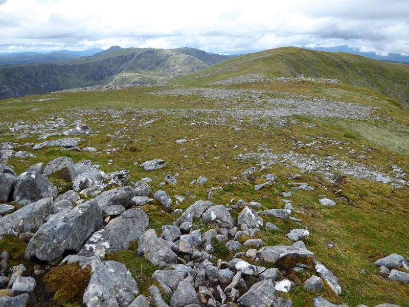
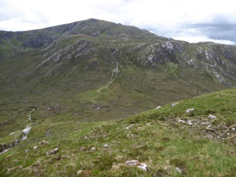
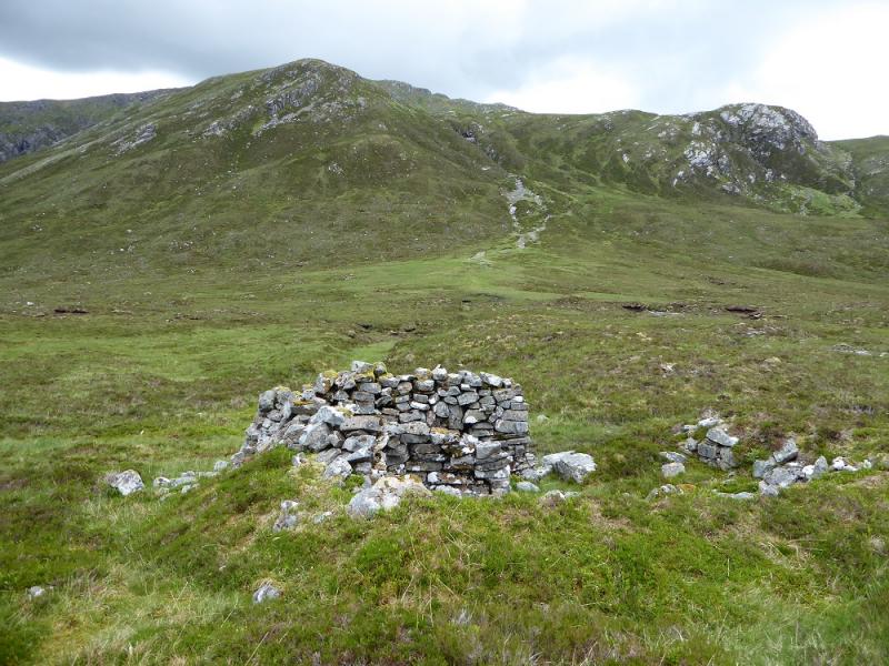
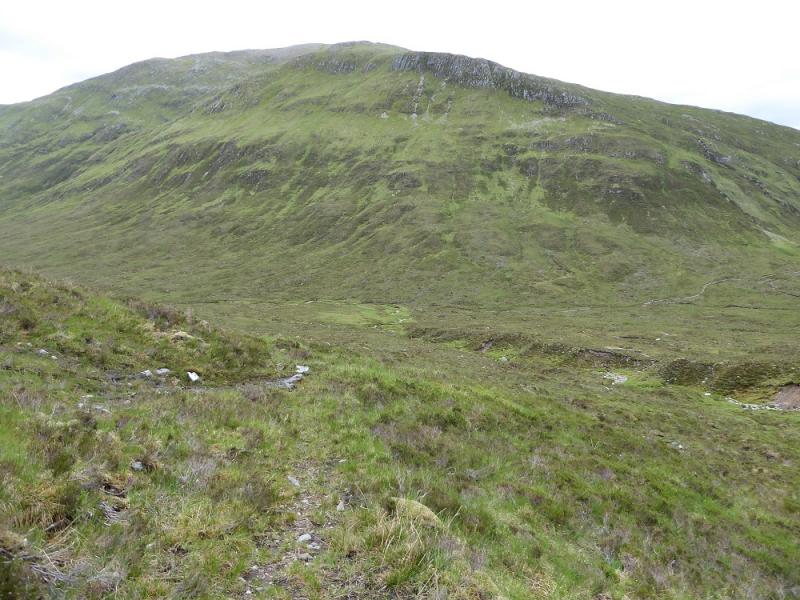
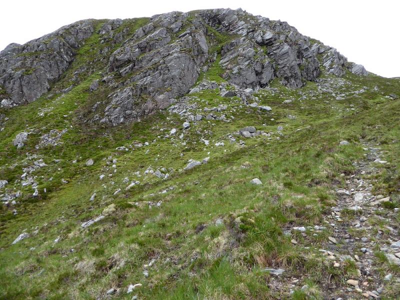
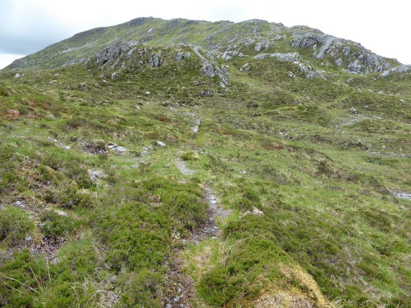
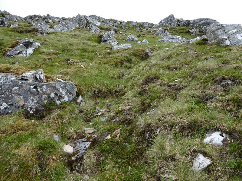
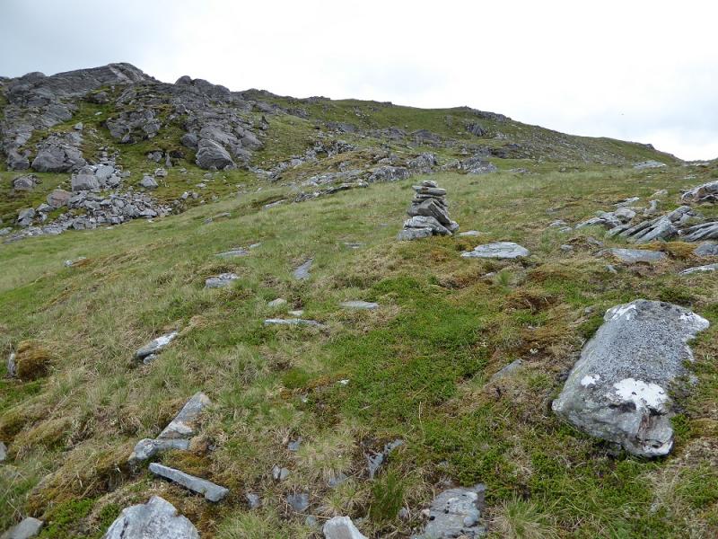
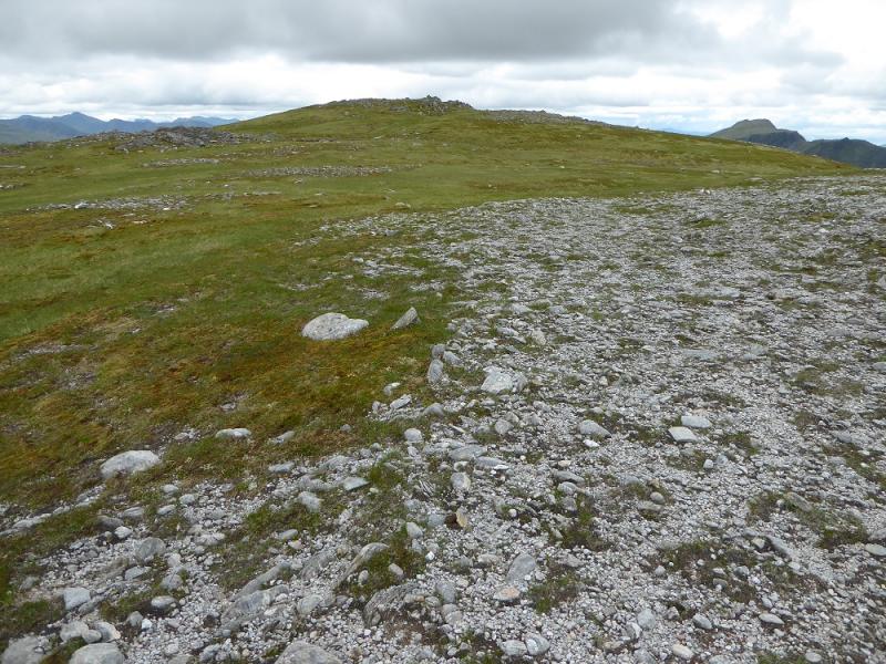
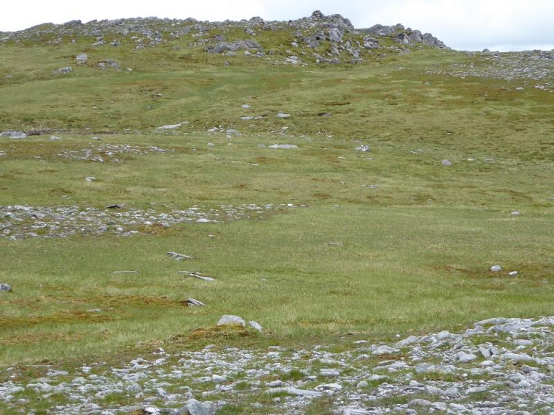
(2) Walk W along the crest to the top where the crest turns N. Leave it here and descend a ill-defined ridge W. This ends almost abruptly when the ground becomes very steep so go left, S, and pick a way down, going W when possible, to reach the glen between Aonach Buidhe and Faochaig. In clear weather, the path in the glen will be obvious as will the one going up Faochaig. Aim for a small walled cairn/shelter in the glen then follow the track N until it soon splits. Take the left fork and look for a tiny cairn across a stream. The path up Faochaig is not obvious in the glen but if the stream is followed, it should become very obvious and can then be followed up. Through some dramatic scenery. After a flat section, it follows the S side of an obvious ridge. Follow the stalker's path to its end, at a cairn, then continue up but the path made by walkers soon fades so head SW up easier slopes to reach the large plateau and head for its SW corner although some may wish to divert to the slightly lower E Top above Leac na Nighinn for good views back to Aonach Buidhe. A gentle rise leads to a medium cairn which marks the summit of Faochaig, 868 m. In clear weather, the NW top, Carn nan Searrach, can look higher but it isn't!
(3) Descend S down east, grassy slopes (often wet) and soon reach the river system flowing down to Glen Elchaig. Follow this down and, after about 2 km, reach the stalker's path and follow it down, steeply in places, to Carnach. There is an ATV track which can also be followed which winds about nore than the path but still goes down to Carnach.
Notes
(a) This walk took place on 13th June, 2016, and about 15 years ago.
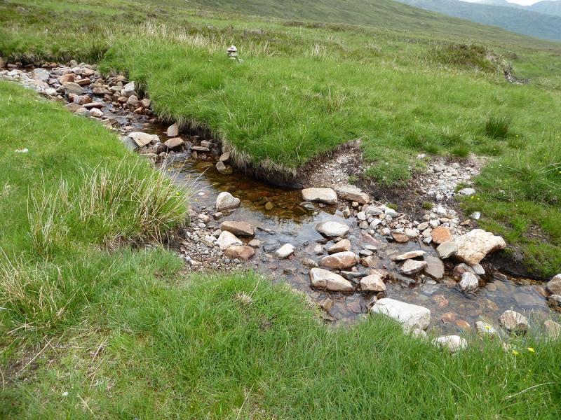
Photos - Hover over photo for caption. Click on to enlarge. Click on again to reduce.