Get Lost Mountaineering
You are here: Scotland » 12 Glen Cannich to Glen Carron » Cannich & Loch Mullardoch to Loch Long
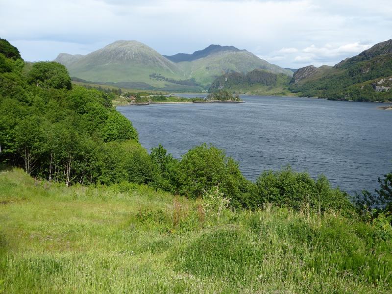
Sguman Coinntich from Killilan
Sguman Coinntich from Killilan
Start/Finish
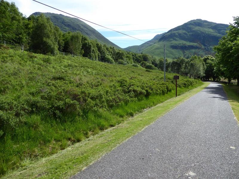
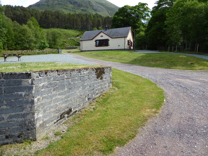
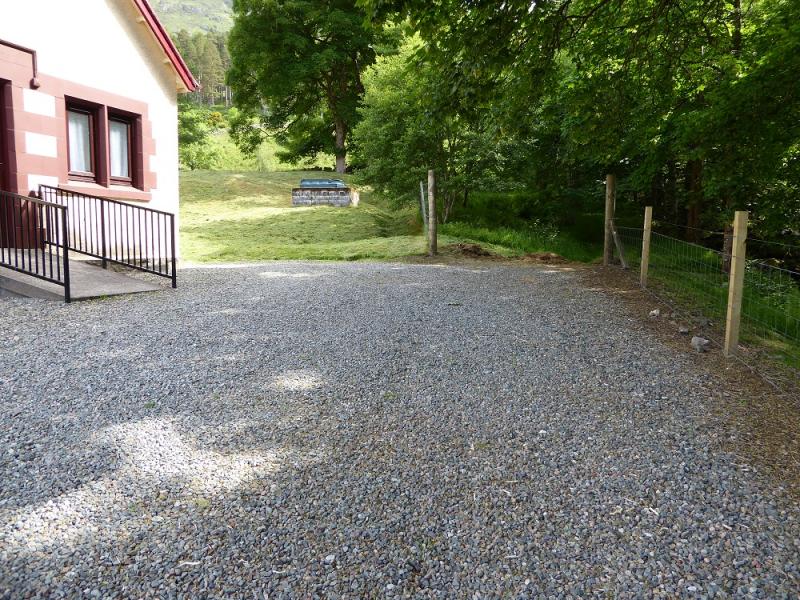
Car park at the entrance to the Inverinate Estate at Killilan. The signed turning for Killilan is about a mile west of the bridge at Dornie. The narrow road follows the NW side of Loch Long (well named!) for about 5 miles. The car park is just after the right turn for Cams-luinie which is just after a major bridge over the River Ling. There is a fair amount of parking but it can fill up early as many long walks start from here. Dornie is about 9 miles east of the Kyle of Lochalsh on the A87 road from Invergarry.
Distance/Time
13 km. About 6 - 7 hours.
Peaks
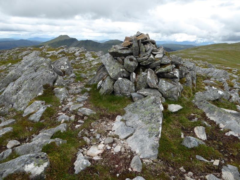
Sguman Coinntich, 879 m, NG 977 303. OS Sheet 25.
Introduction
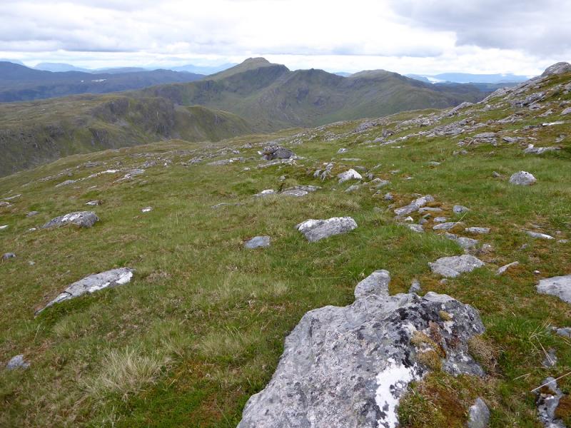
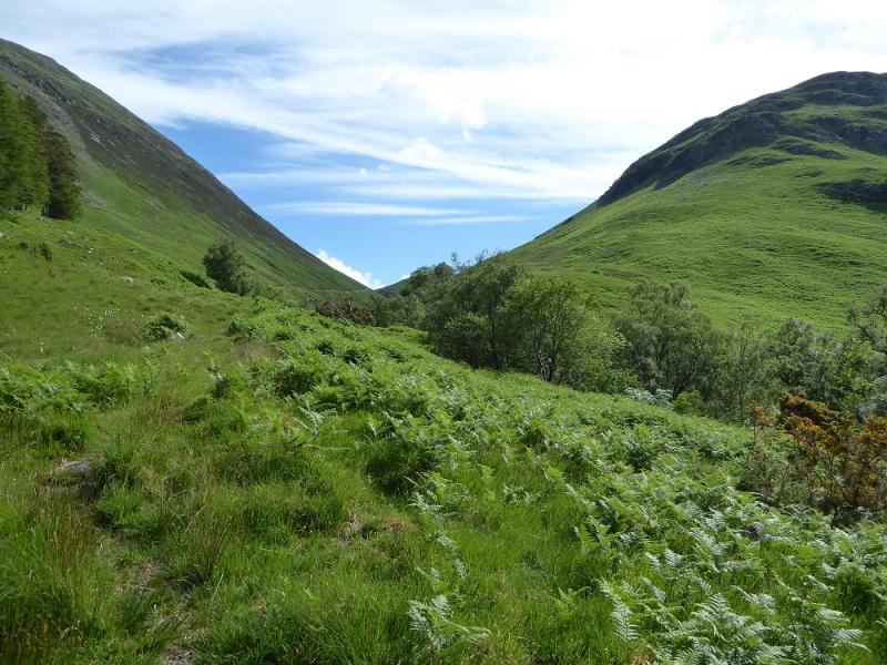
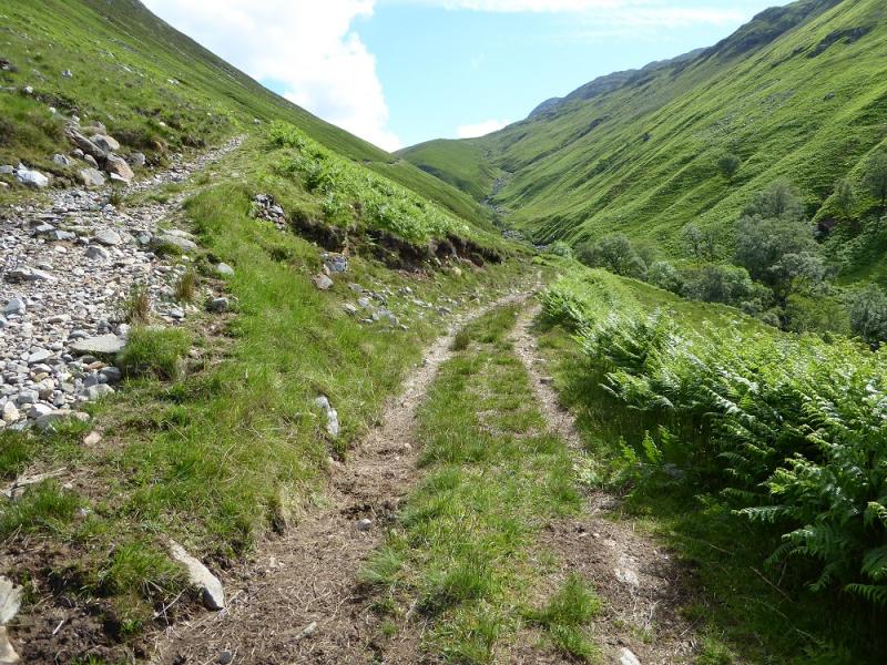
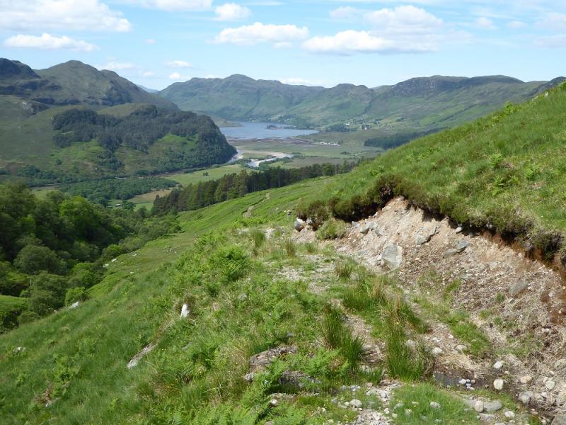
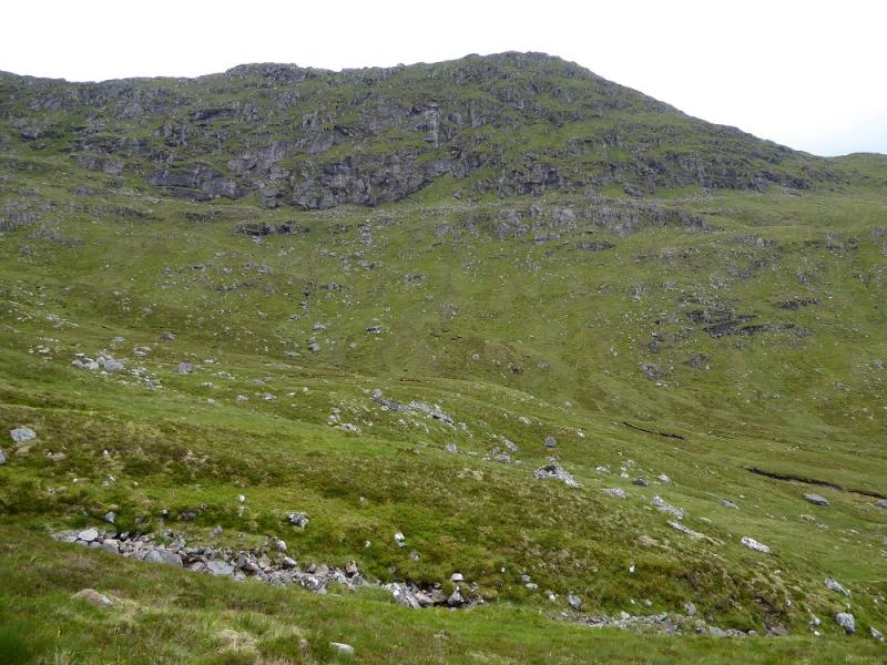
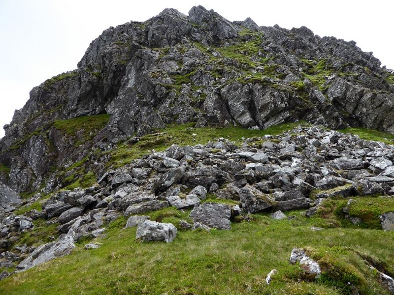
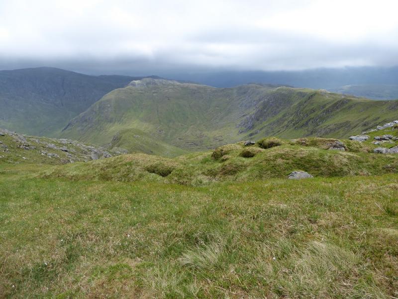
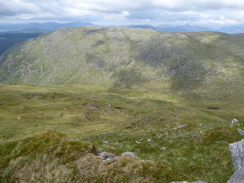
This is a tougher walk than it looks. It is the only walk from Killilan that does not require a bicycle. The path shown up the Allt a' Choire Mhor becomes a track higher up and is quite steep and rough in places. It is worth going to the Bealach Mhic Bheathain to look at very steep and rocky E side. The views are excellent especially towards Skye and east towards Faochaig.
Route
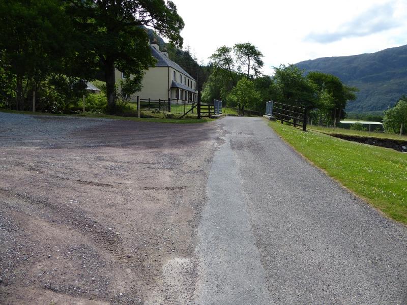
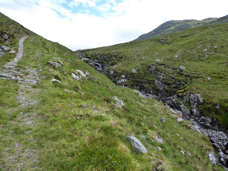
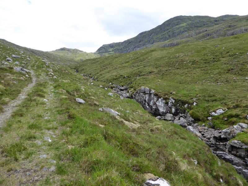
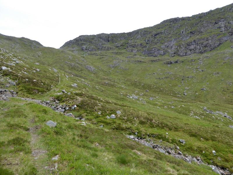
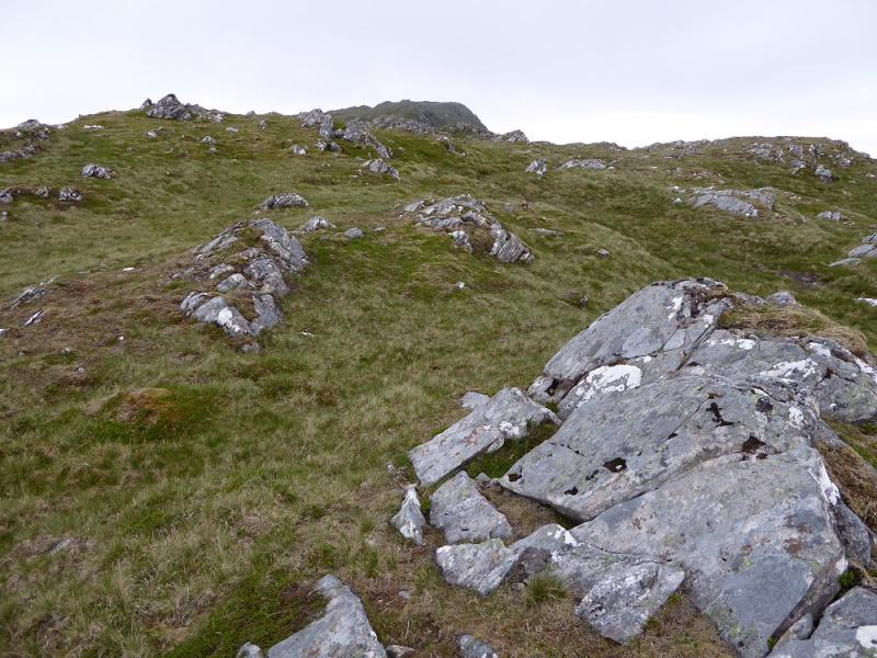
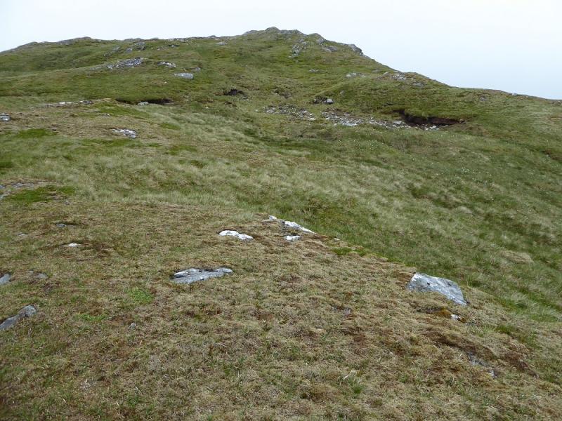
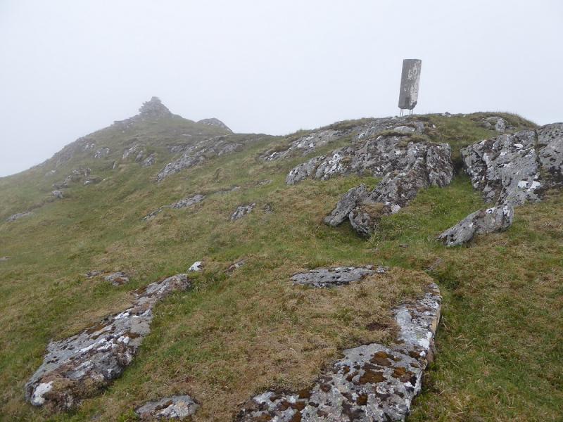
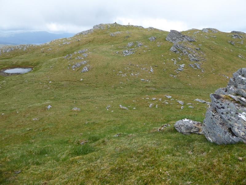
(1) Walk along the private road to Killilan to the fence from a bridge where there is a house with 1933 on it. Go up the right hand side of this then follow the path, sometimes overgrown, up the side of the stream to begin with before it goes left and climbs to a track. Follow the track to its end then continue, roughly E to reach the Bealach Mhic Bheathain. Walk through to look at the very steep and rocky E side. Retrace and walk under the rocks on the S side until a hint of a path seems to pick its way. This goes through a lot of rock but is fairly straightforward although it can be difficult to follow in places. After gaining some height, it slants right and reaches easier ground then the crest. Follow the crest, path, roughly Sw then more W up a final gentle rise to reach the decaying trig point which marks the summit of Sguman Coinntich, 879 m.
(2) Continue along the crest to a dip then descend grass, steep in the odd place, then decide how to regain the track. It is probably easiest to make a descending traverse NE to near its end then walk back down to Killila Either use the outward path from the house or stay on the track which is longer but more gentle.
Notes
(a) This walk took place on 14th June, 2016, and about 15 years ago.
Photos - Hover over photo for caption. Click on to enlarge. Click on again to reduce.