Get Lost Mountaineering
You are here: Scotland » 12 Glen Cannich to Glen Carron » Strathconon
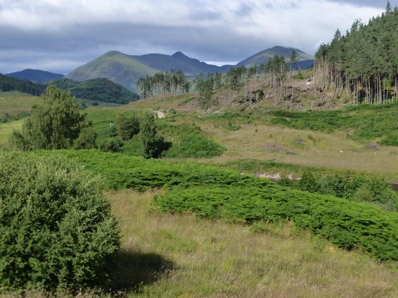
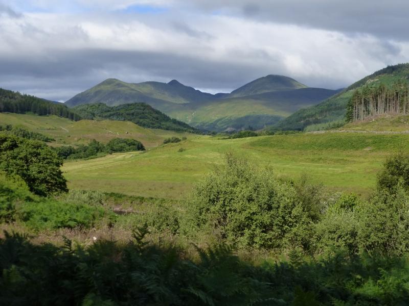
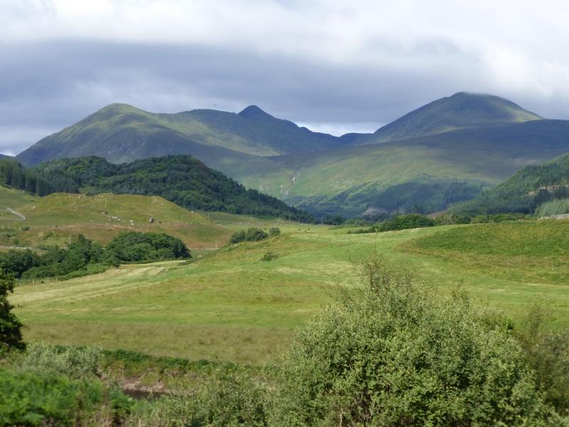
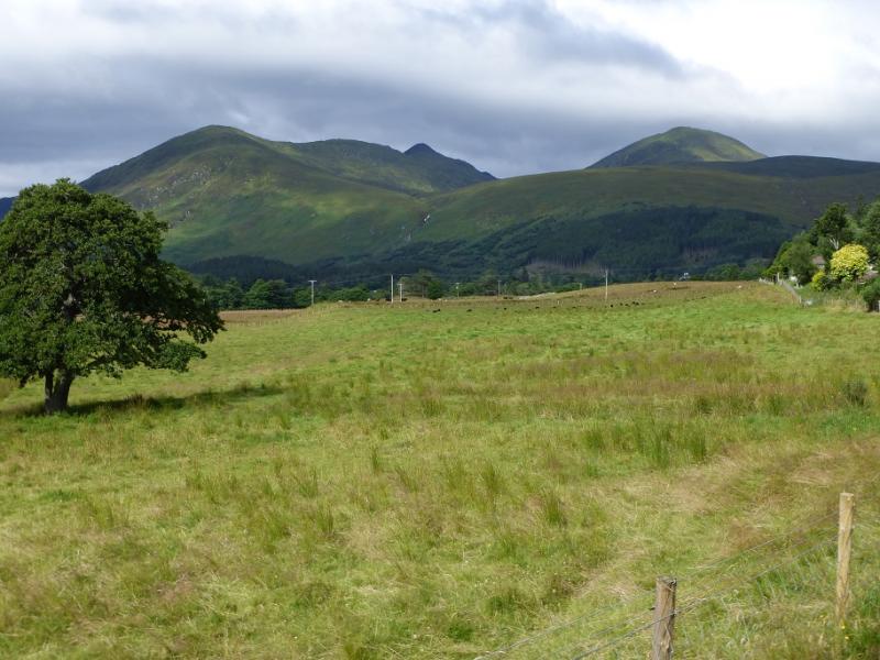
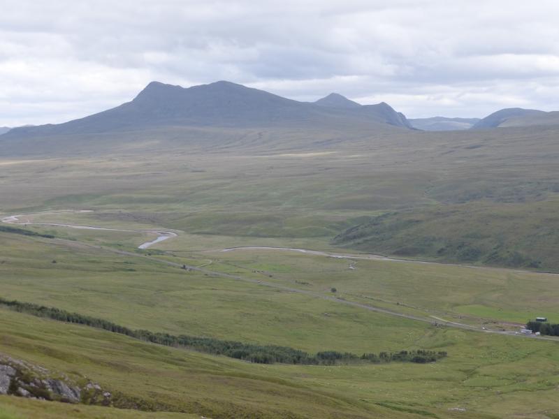
Meallan nan Uan & Sgurr a' Mhuillin from Strathanmore in Strathconon
Meallan nan Uan & Sgurr a' Mhuillin from Strathanmore in Strathconon
Start/Finish
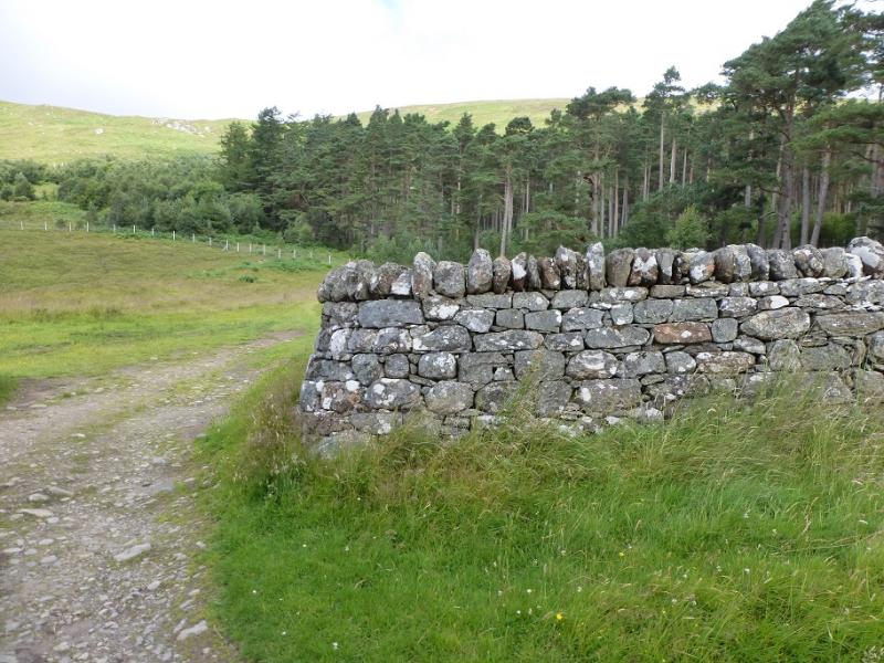
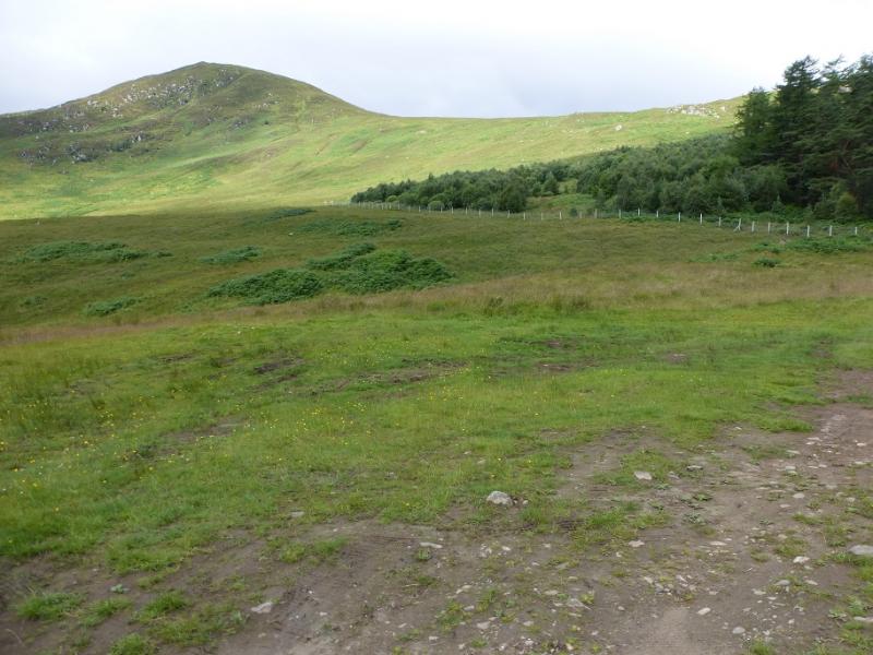
Strathanmore in Strathconon at about NH 293 546. This is on the right hand edge of sheet 25. The approach up Strathconon is on sheet 26 but this is not needed for the walk. Strathconon is a long glen which starts at Marybank on the A832 road between Contin and Maryburgh. It is about 12 miles from here to the start and the road, although very scenic, is narrow in places. There is some rough field parking opposite the row of cottages at Strathanmore.
Distance/Time
14 km. About 7 – 8 hours.
Peaks
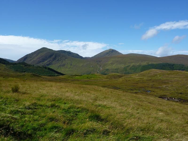
Meallan nan Uan, 838 m, NH 263 544.
Sgurr a' Ghlas Leathaid, 844 m, NH 244 564.
Sgurr a' Choire Rainich, c844 m, NH 248 568.
Sgurr a'Mhuillin, 879 m, NH 264 557. OS sheets 25 & 26.
Introduction
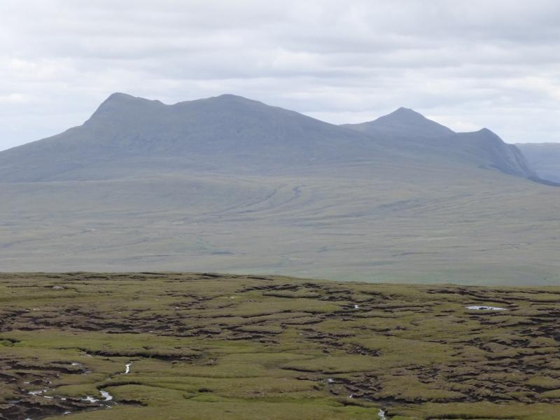
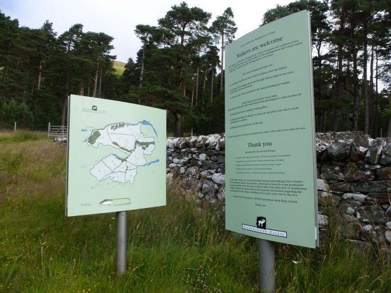
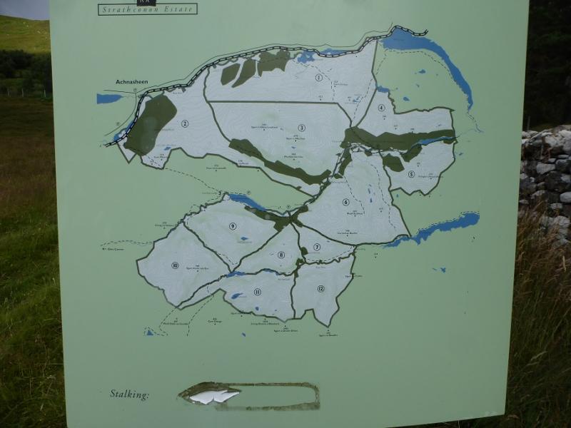
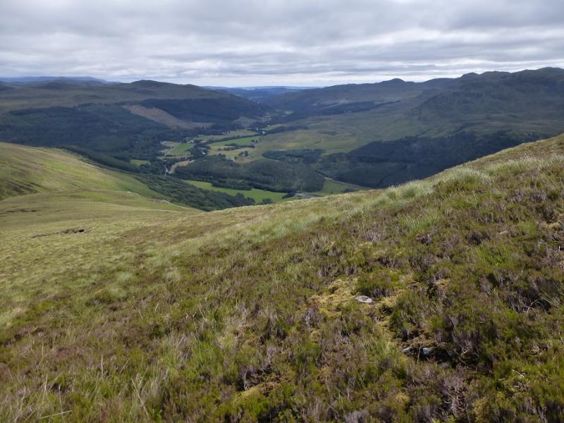
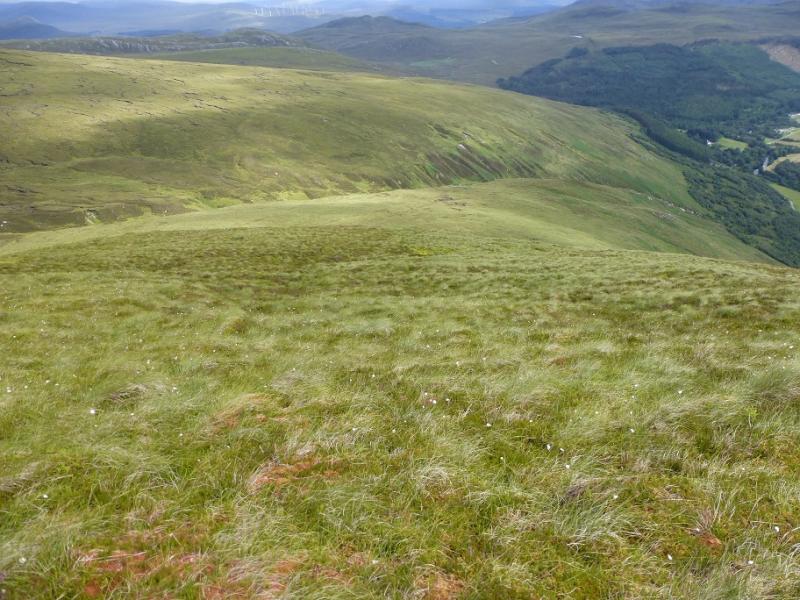
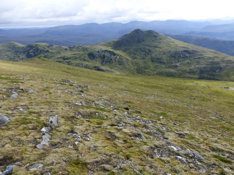
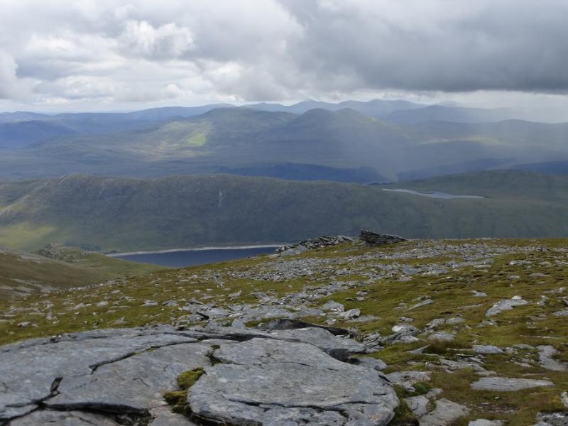
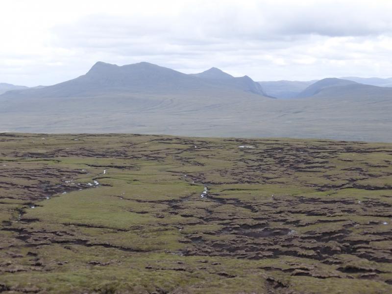
This is a tough walk over two high Corbetts and two nearly Corbetts. Much of the route is pathless although the ground is not too difficult. Stalking takes place in this area so try not to be disruptive. The estate provides a useful notice at Strathanmore. There are some excellent views including Fionn Bheinn, the Fannaichs, Maoile Lunndaidh and Ben Wyvis In very clear weather, the Strathfarrar hills will be seen as well as Slioch and the Torridon hills.
Route
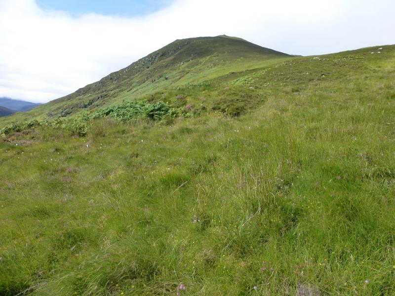
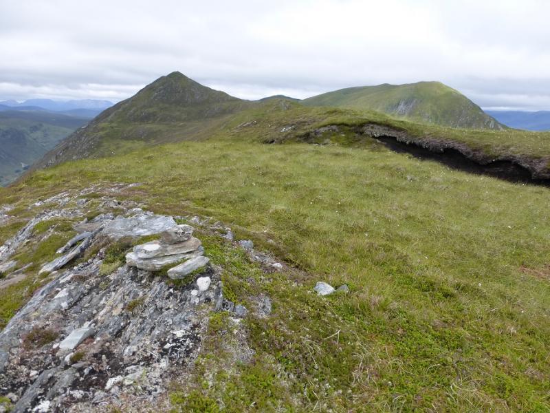
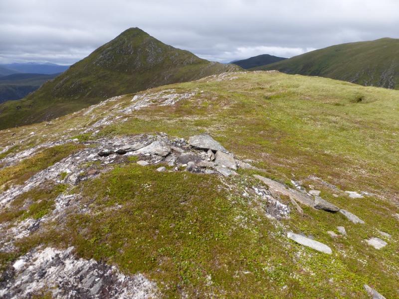
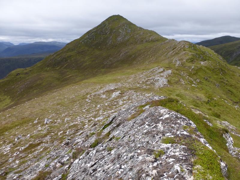
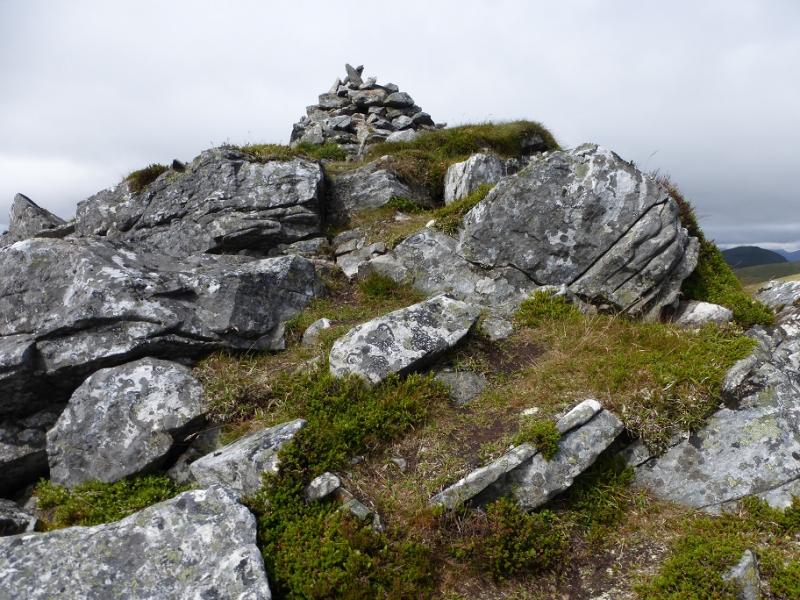
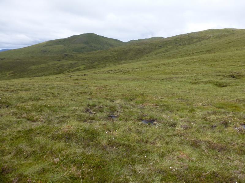
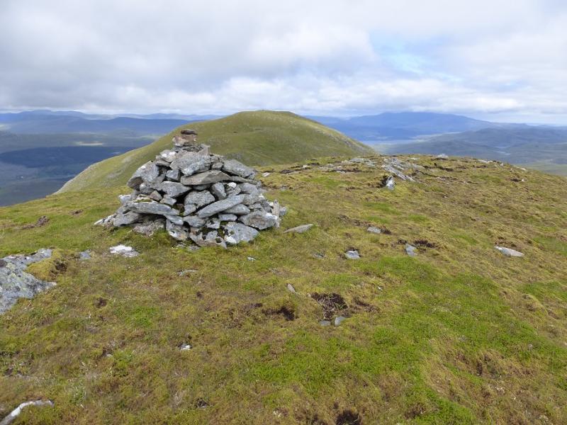
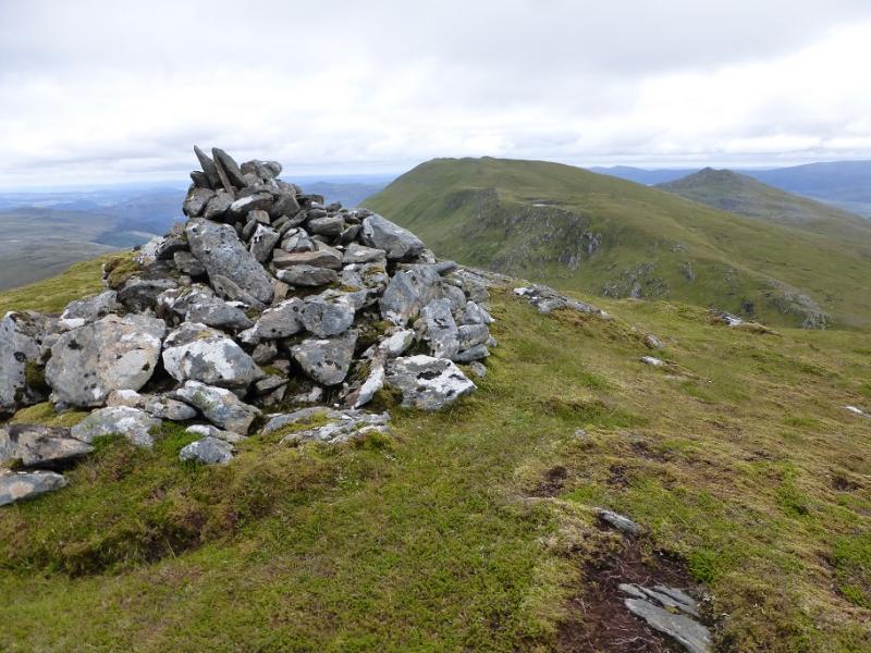
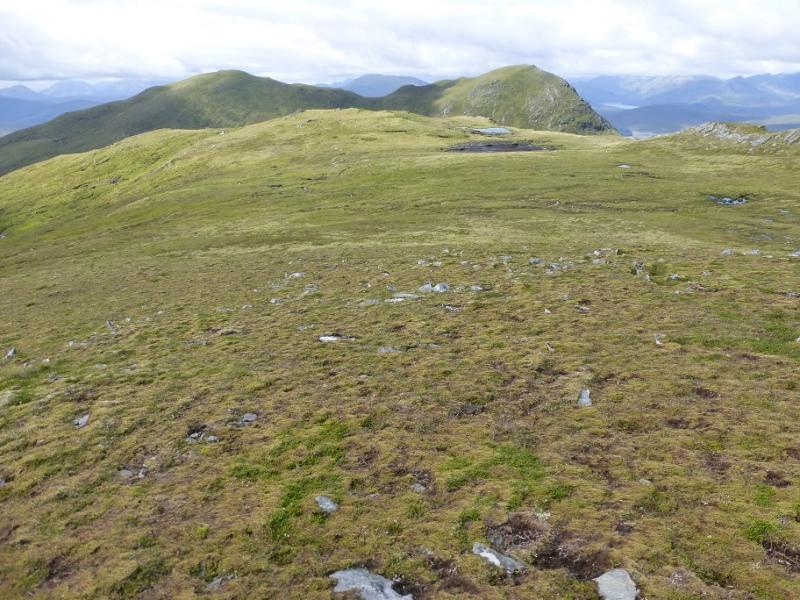
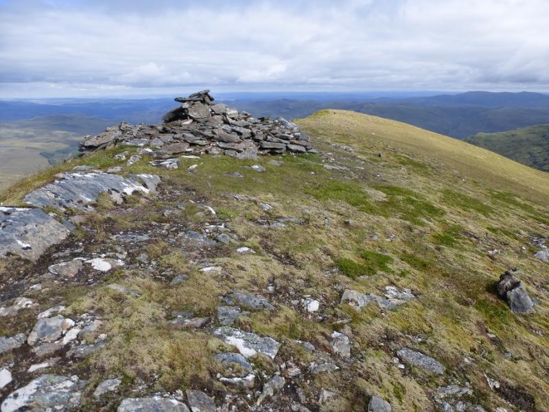
(1) Walk up the rough and wet path by the side of the wood. After the second corner, stay on the path until there is a gap in the ferns where one can pick a way up to the NE ridge of Creag Ruadh. Continue up the pathless and slightly rough ground. A prominent outcrop is about two thirds of the way. Continue up to reach a small cairn. There is a tiny cairn a short distance to the NW which may be higher. Follow the path NW along the crest, over a minor top, until the foot of the SE ridge of Meallan nan Uan is reached. A path guides one up the steep slope to reach the medium cairn which marks the summit of Meallan nan Uan, 838 m.
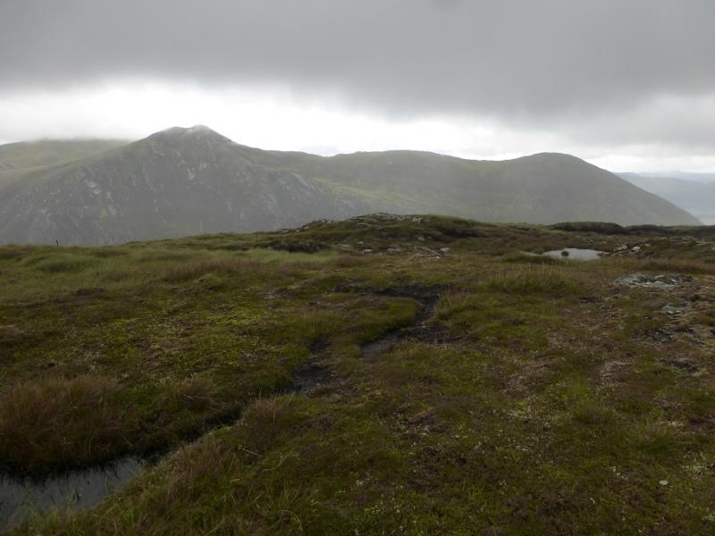
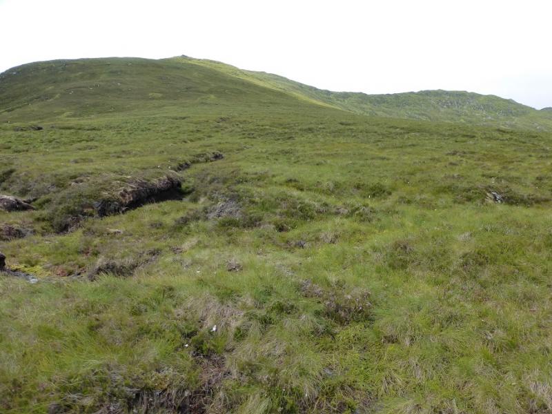
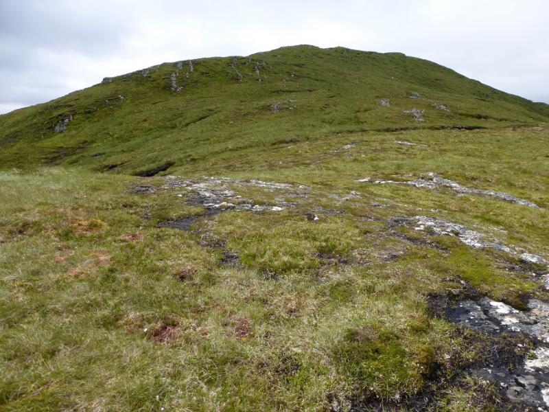
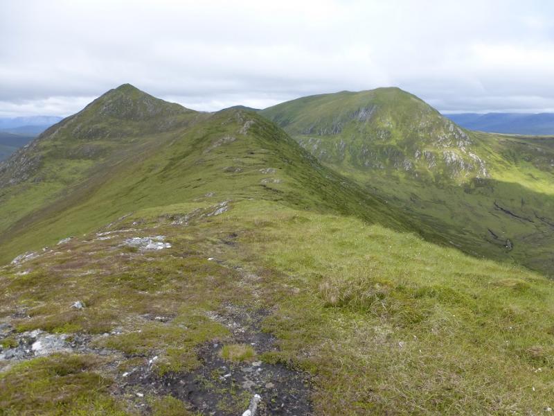
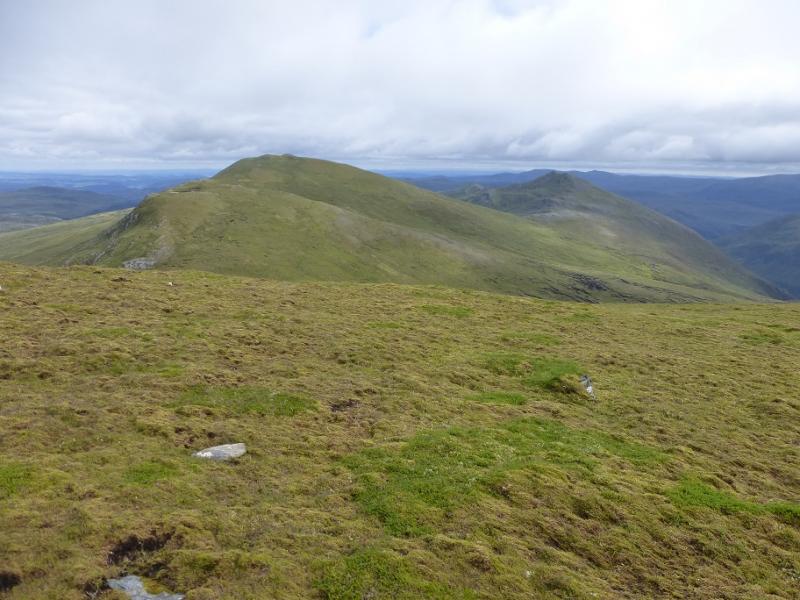
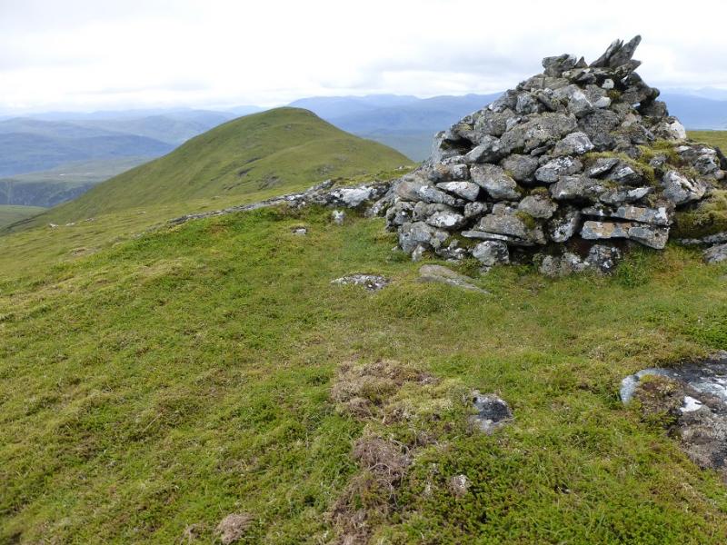
(2) The path continues descending the NW ridge but soon peters out so continue, over undulating ground, until one can contour (wet ground) towards the col between Sgurr a' Ghlas Leathaid and Sgurr a' Choire Rainich. Instead of climbing to the col, pick a way up the E flank of Sgurr a' Ghlas Leathaid to reach a medium cairn which is the summit of Sgurr a' Ghlas Leathaid, 844 m.
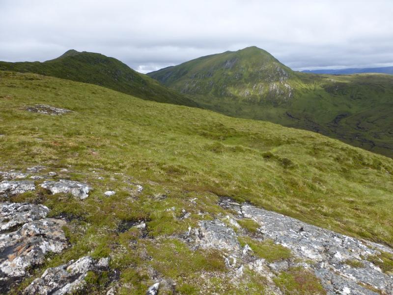
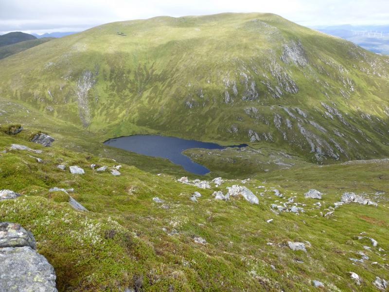
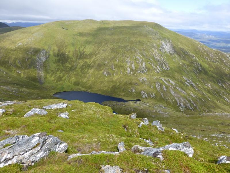
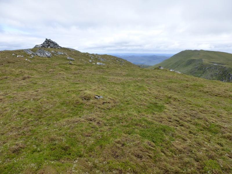
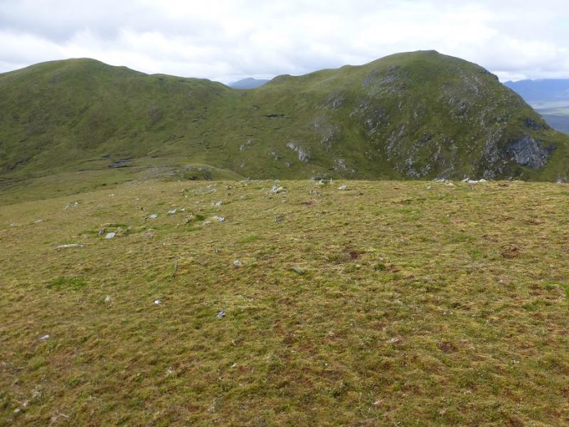
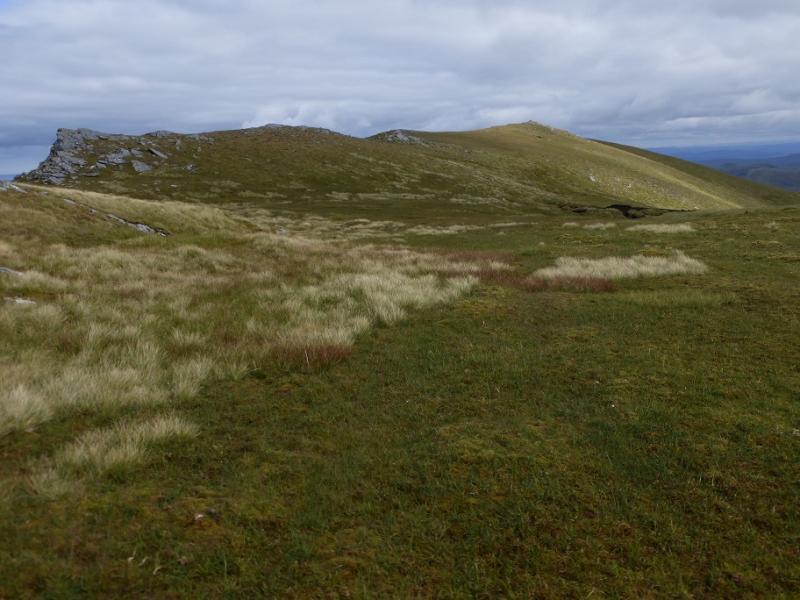
(3) Descend NNE, crossing a grassy col about 60 m lower than the summit then ascend directly ahead although if one drifts left a path can be found going to the top. A medium cairn marks the summit of Sgurr a' Choire Rainich, c844 m.
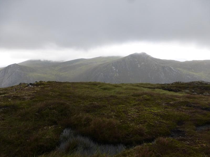
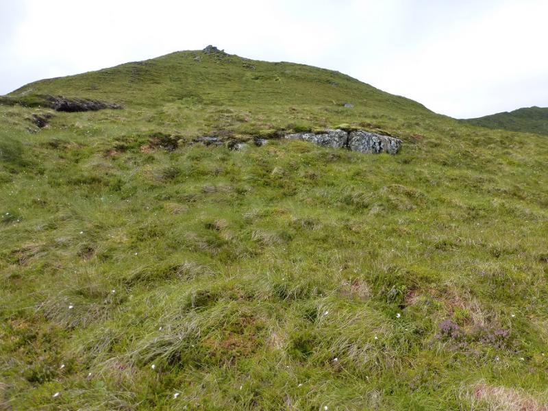
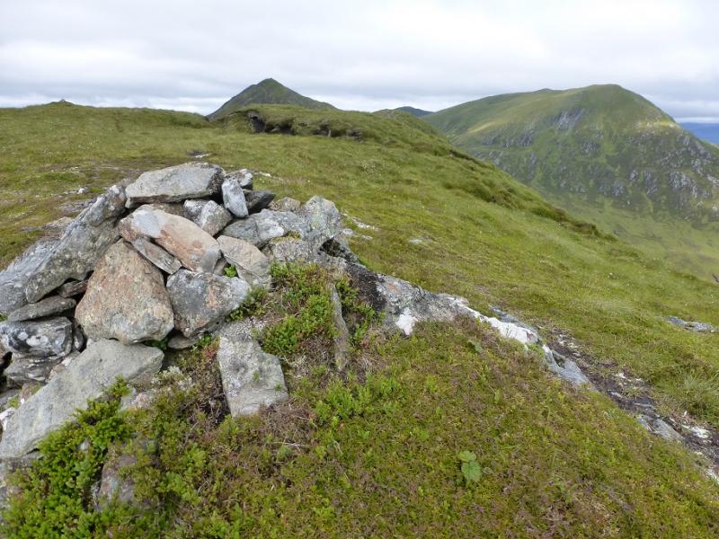
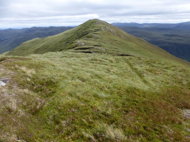
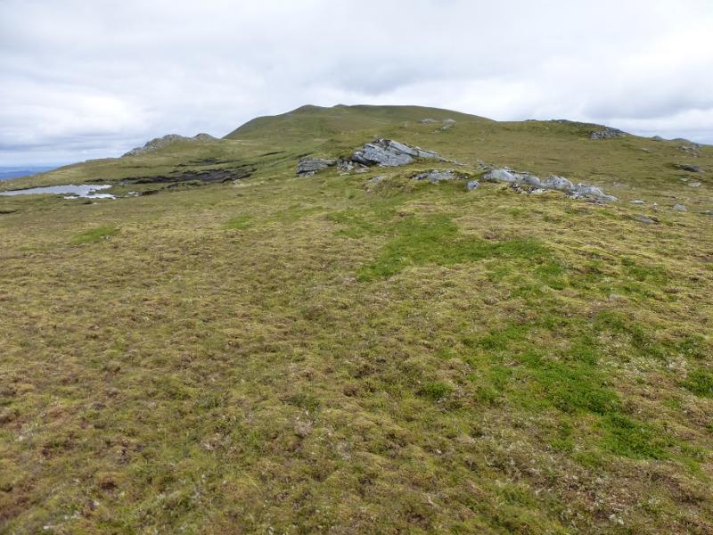
(4) Descend almost due S to reach the col at the foot of the NW ridge of Sgurr a' Mhuillin. Ascend the long, mainly easy angled ridge which has a path much of the way although it is hard to follow in places. High up a short ridge leads to the medium cairn which is the summit of Sgurr a'Mhuillin, 879 m. Older OS maps show a trig point on the summit but there was no sign of one on 28/7/16.
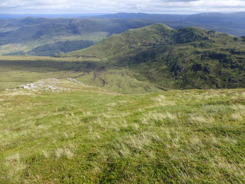
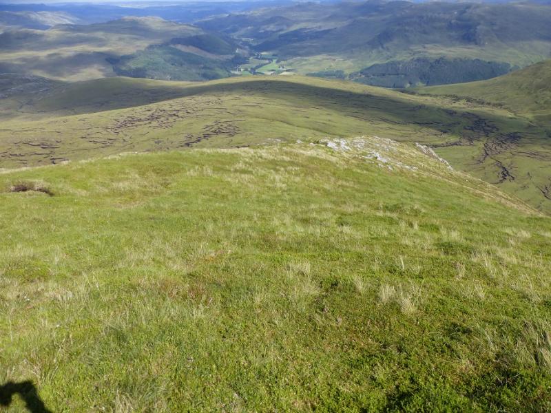
(5) Descend down the SE ridge which has a path initially but this soon peters out. Try to stay on the crest where possible although lower down it becomes too rocky. The ground is steepish and heathery so care is needed. Once down to the flatter area, decide where to cross the main stream. In normal weather, this can be almost anywhere but after rain, it may need to be crossed higher up. Once across aim for the lower NE ridge fo Creag Ruadh and retrace the outward route.
Notes
(a) This walk took place on 28th July, 2016, and about 15 years earlier.
Photos - Hover over photo for caption. Click on to enlarge. Click on again to reduce.