Get Lost Mountaineering
You are here: Scotland » 16 Coigach to the Pentland Firth » East of Bonar Bridge to Tongue Road
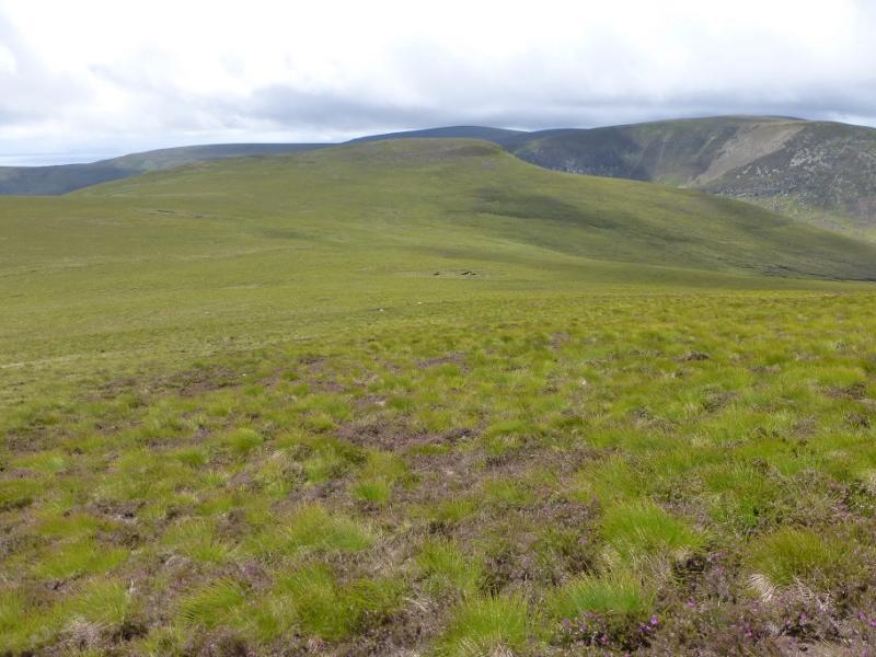
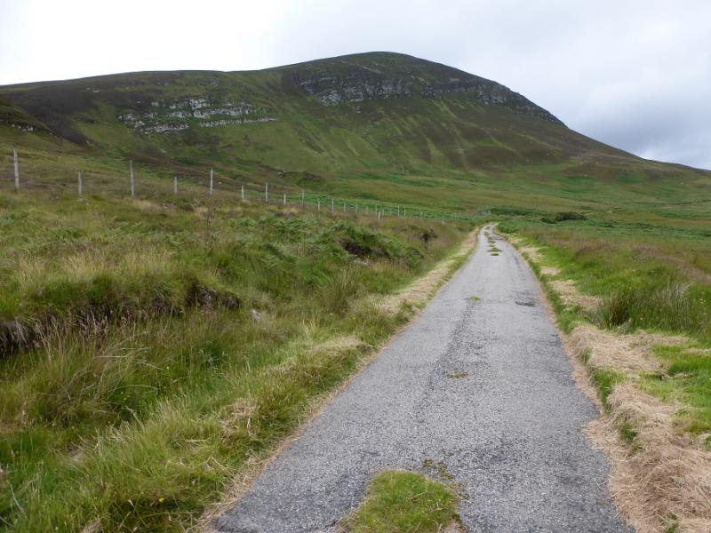
Beinn Dhorain from Glen Loth, south of Helmsdale
Beinn Dhorain from Glen Loth, south of Helmsdale
Start/Finish
Close to gate on left about 100 m after obvious bridge about 2 miles up Glen Loth. There is a little verge parking or one can park, sensibly please, near the bridge. The signed road for Glen Loth leaves the A9 at Lothbeg about 4 miles north of Brora and about 6 miles south of Helmsdale. The road is initially steep and narrow but then levels out. There are few passing places so if another car in encountered, one may have to reverse some distance. Older maps may have the road through Glen Loth shown as a track but it is a proper, although narrow, tarmac road but it is not gritted in winter as the there are no houses in the glen.
Distance/Time
11 km. About 4 hours.
Peaks
Beinn Dhorain, 628 m, NC 925 156.
Ben Uarie, 623 m, NC 928 164. OS map 17.
Introduction
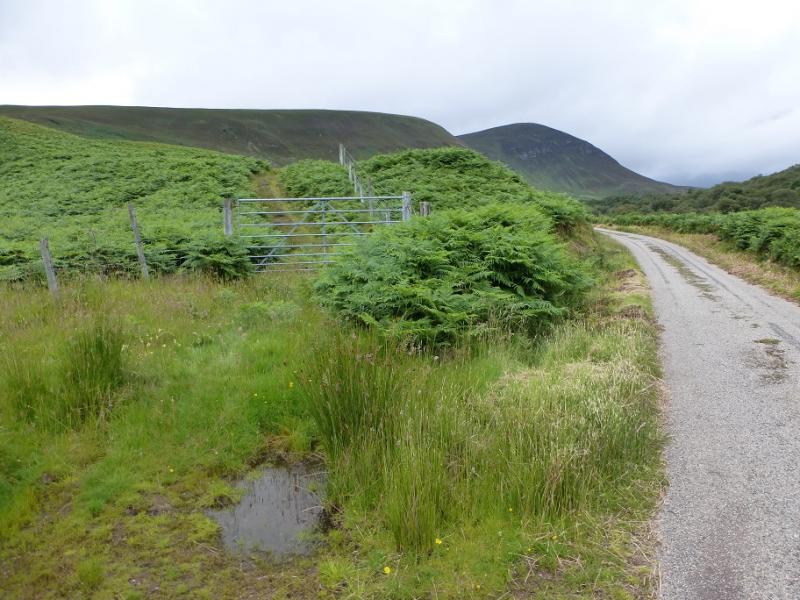
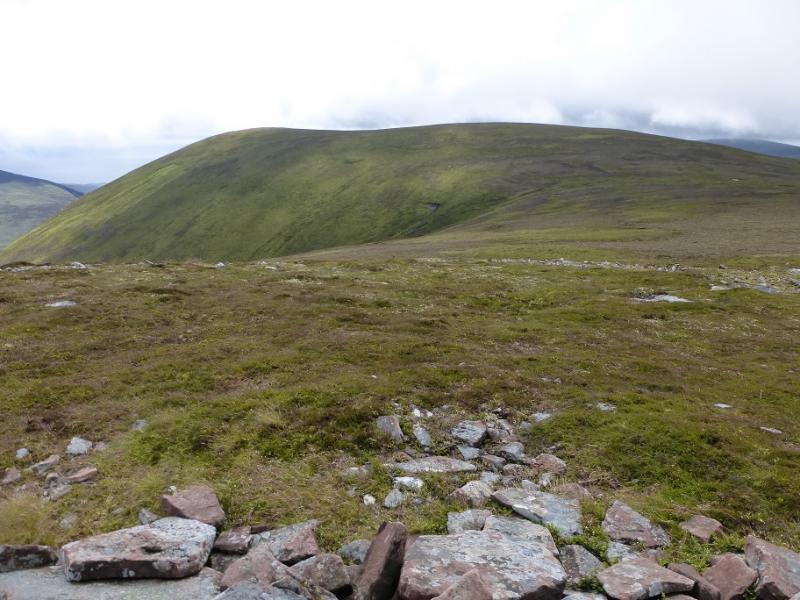
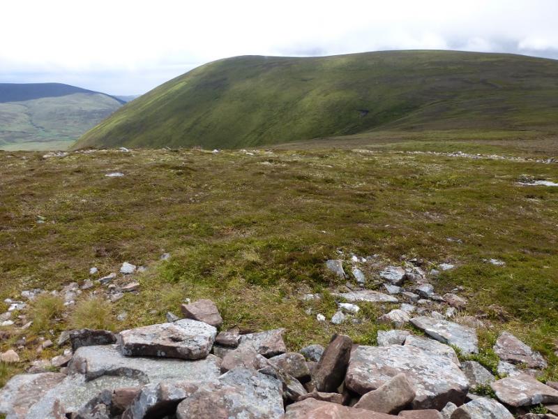
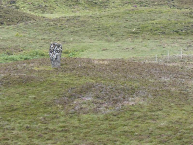
Beinn Dhorain is a straightforward grassy ascent up the highest hill in the area. It offers a relatively short day even if Druim Dearg and Ben Uarie are included. It is high enough for views of the North Sea. From the summit, Morven (conical peak) and Scaraben (triple peak) are well seen to the north with even better views from Ben Uarie which is why it is included in this route. From the summit of Ben Uarie, most will be back at the start within 2 hours or less. One could leave a bicycle on the road below the col between Beinn Dhorain and Ben Uarie then free wheel almost all the way back. This will not save much time as the bike will have to be positioned but can save some effort! There are some standing stones in Glen Loth which are marked on the map. Note that the gate used at the start is locked and has to be climbed over; it is 2 metres high.
Route
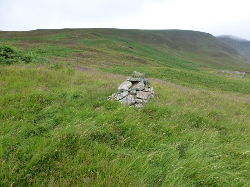
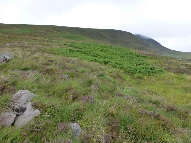
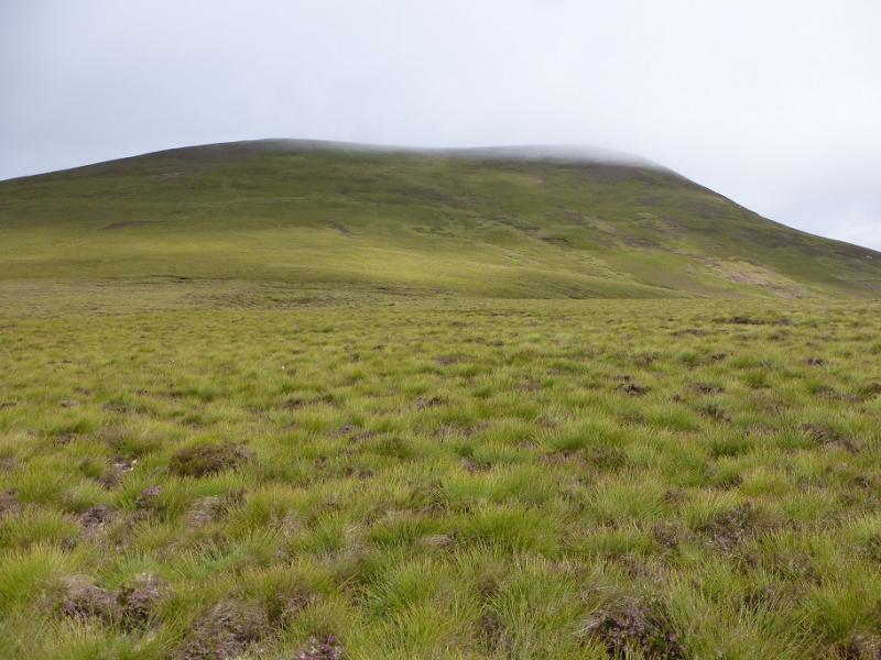
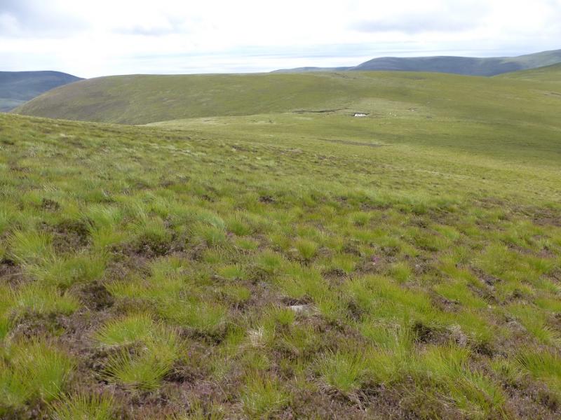
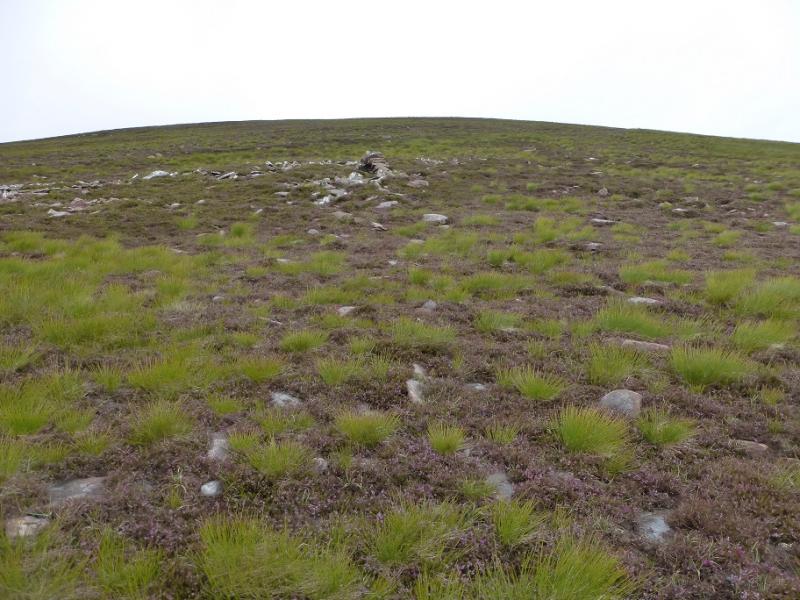
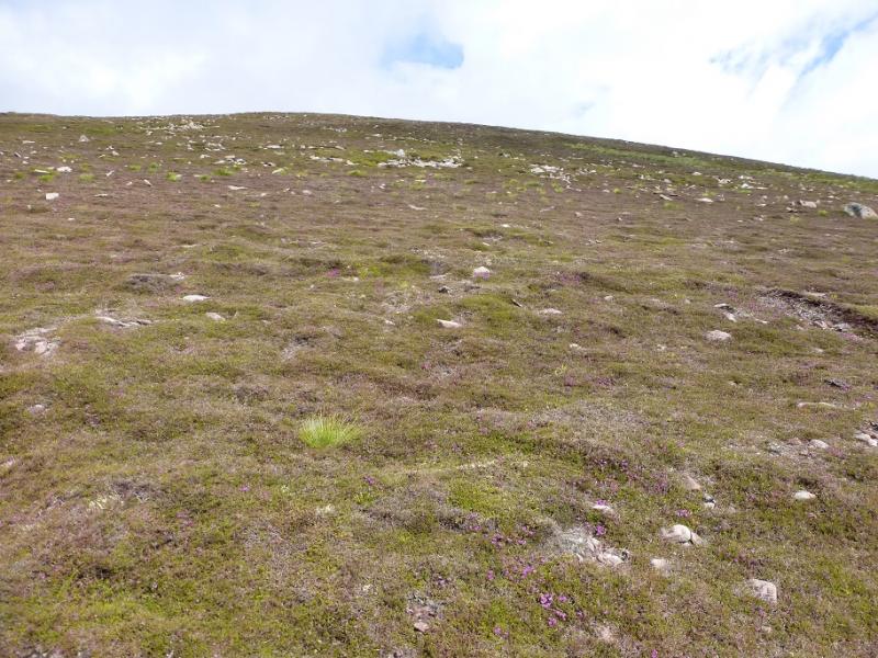
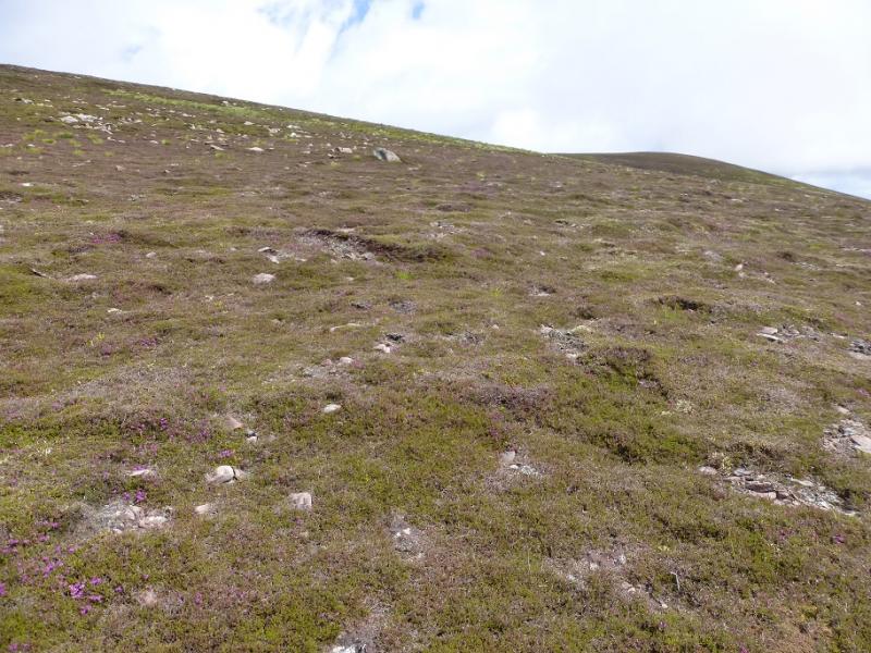
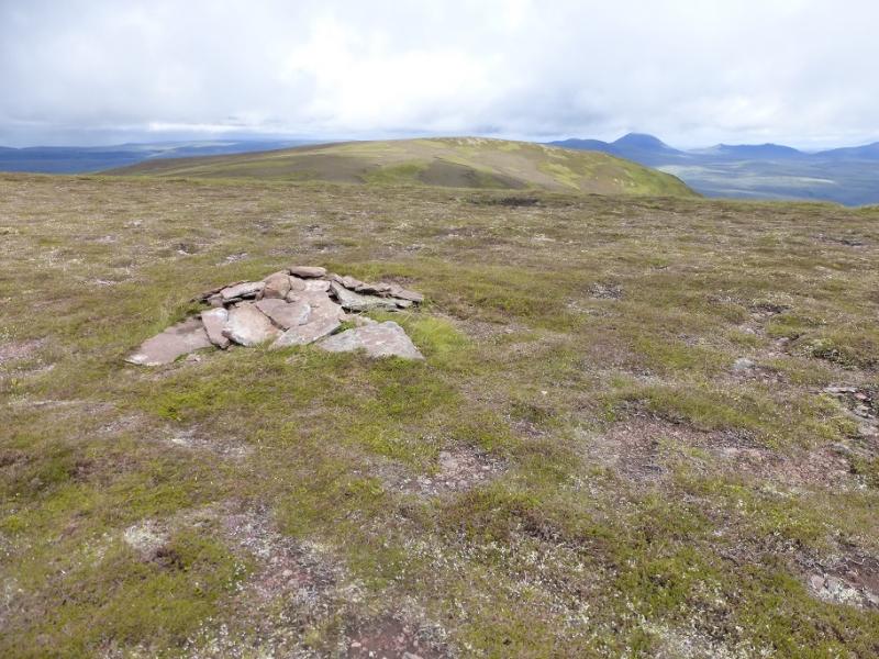
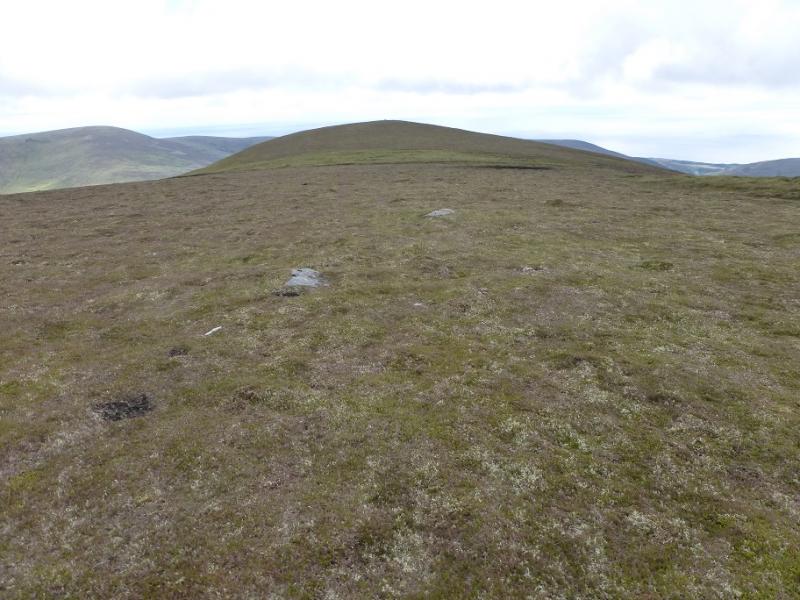
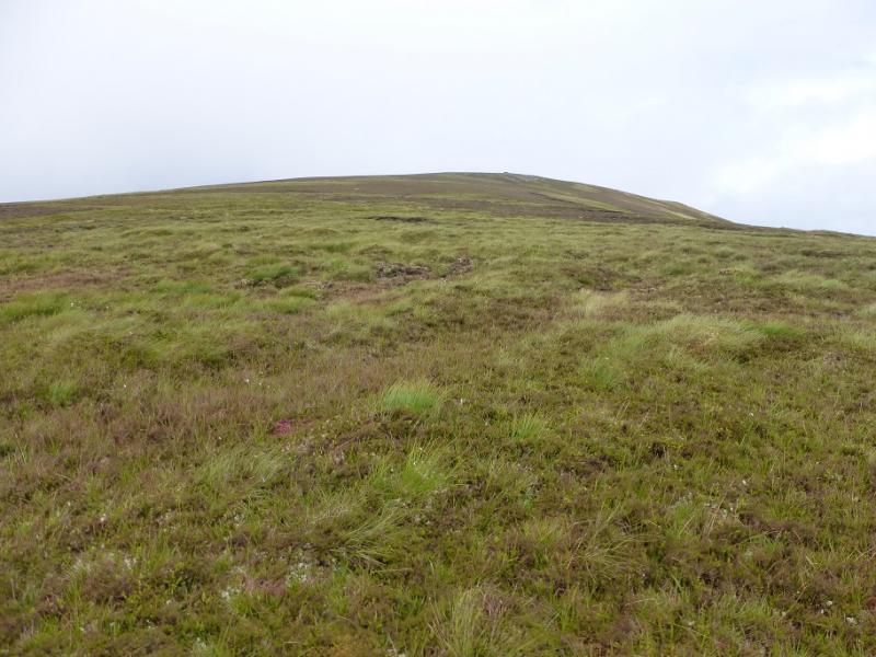
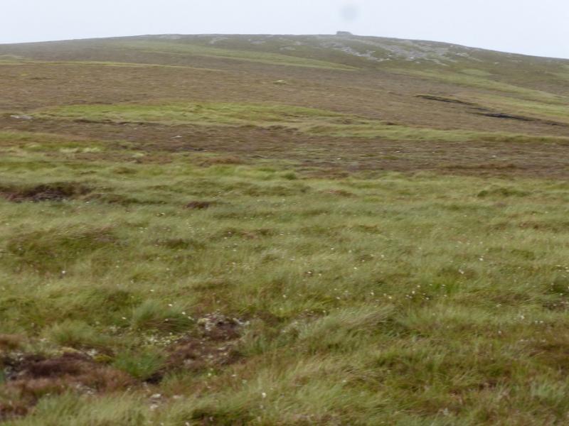
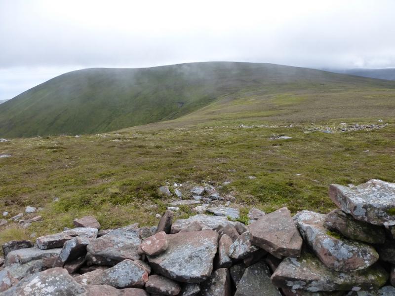
(1) Climb over the gate and follow the rough track, roughly W, towards the S ridge of Druim Dearg. When the track splits, go straight on. There is a “cairn” soon after. Continue up. If the track is lost then it has drifted right so pick it up again although it becomes fainter. If followed, the track goes behind Druim Dearg but one can stay on the crest on easy ground to reach a large flat top where there seems to be no cairn. Continue NNW to go around the top of the stream draining E and cross the shallow, grassy, damp col then walk up the straightforward slopes of Beinn Dhorain. Avoid any temptation to drift off to the right and continue up. When the angle eases, reach a flat area where a low, small cairn (made of small flat rocks) marks the summit of Beinn Dhorain, 628 m. In clear weather, the cairn on the SE Top will be seen which is slightly lower and one can walk over to it if one wishes but the summit will have to be returned to. The detour takes about 20 minutes with no appreciable climbing or loss of height.
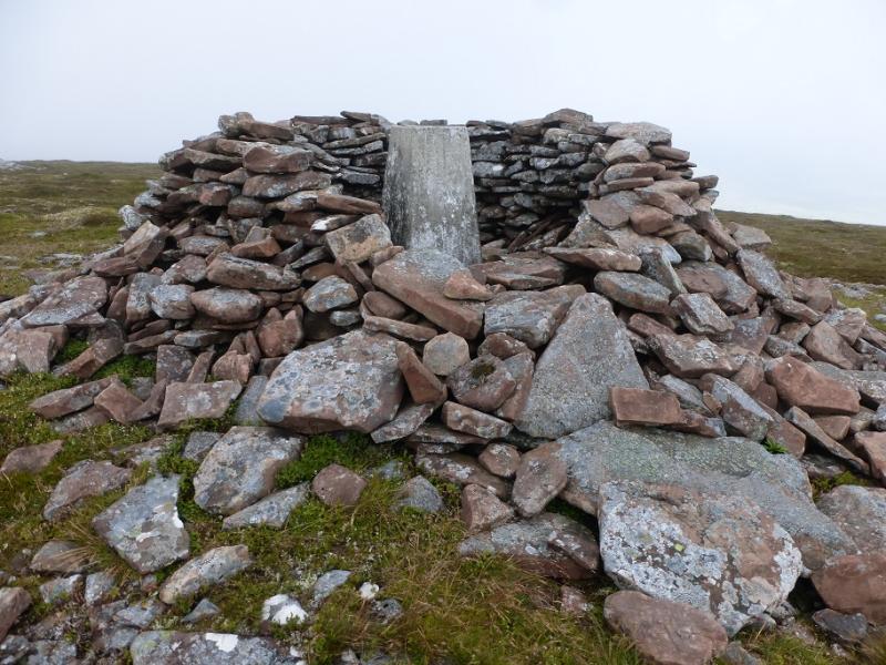
(2) Descend N for no more than 50 m on easy grassy slopes to reach a grassy col then ascend up similar slopes to reach the shelter cairn containing a trig point which is the summit of Ben Uarie, 623 m.
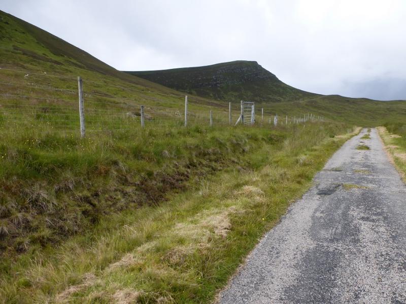
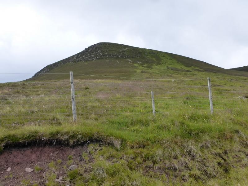
(3) Retrace to the col then descend E,roughly following the stream down. There is a faint path but it is quite an easy descent. At the bottom, a deer fence bars access tot he road so walk S, for about 800 m, to reach a stile and join the road. Follow the road back to the start. From the stile look E to pick out the standing stone. It can be visited, being not too far back from the road but there does not seem to be an obvious path.
Notes
(a) This walk took place on 27th July, 2016, and about 15 years earlier.
Photos - Hover over photo for caption. Click on to enlarge. Click on again to reduce.