Get Lost Mountaineering
You are here: Scotland » 03 North-west Argyll, Appin and Glencoe » Blackmount & East of Glen Etive
Stob Coir'an Albannaich & Meall nan Eun
Stob Coir'an Albannaich & Meall nan Eun from lower Glen Etive
Start/Finish
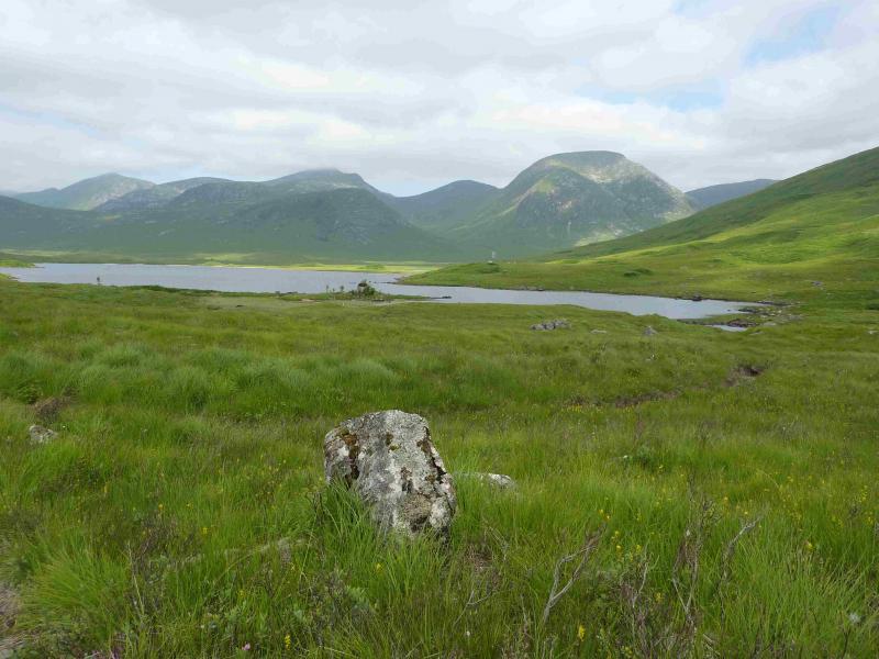
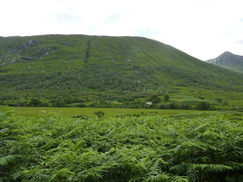
Small “car park” (holds about 4 cars) at about NN 137 468 in lower Glen Etive. This is just before the track which cuts back down to the River Etive to Coiletin and about 2 miles before Loch Etive.
Distance/Time
16 km About 8 hours
Peaks
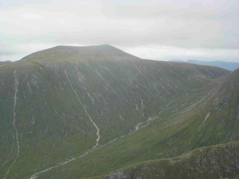
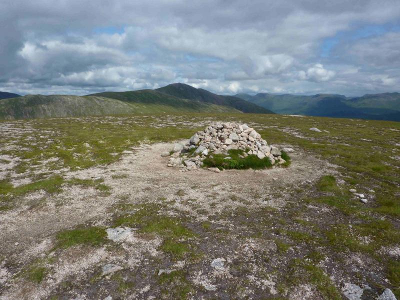
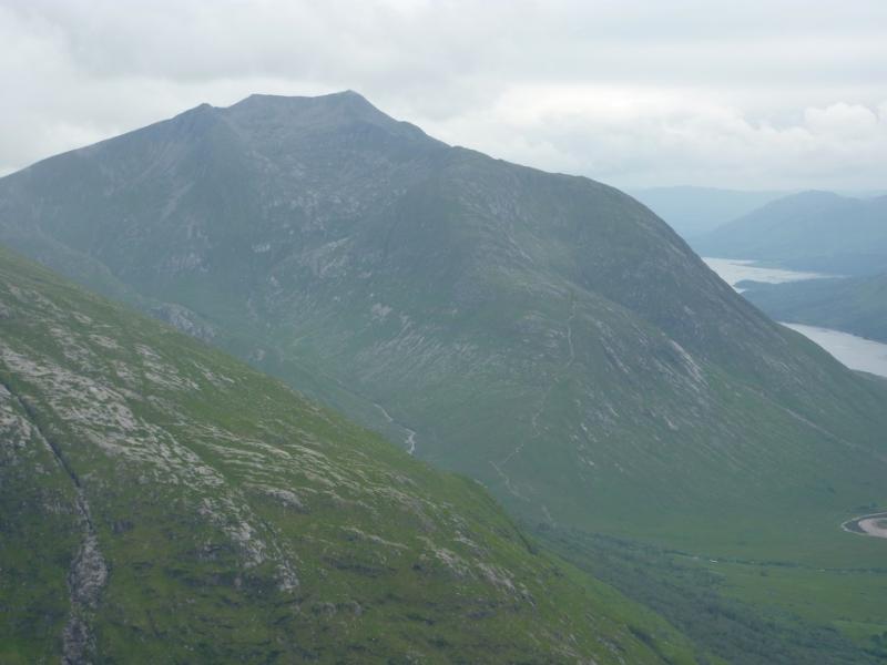
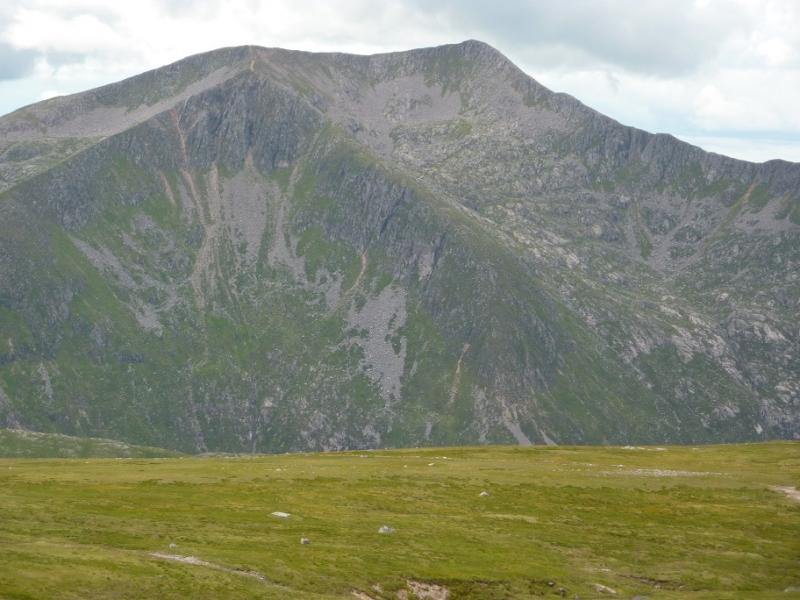
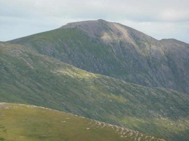
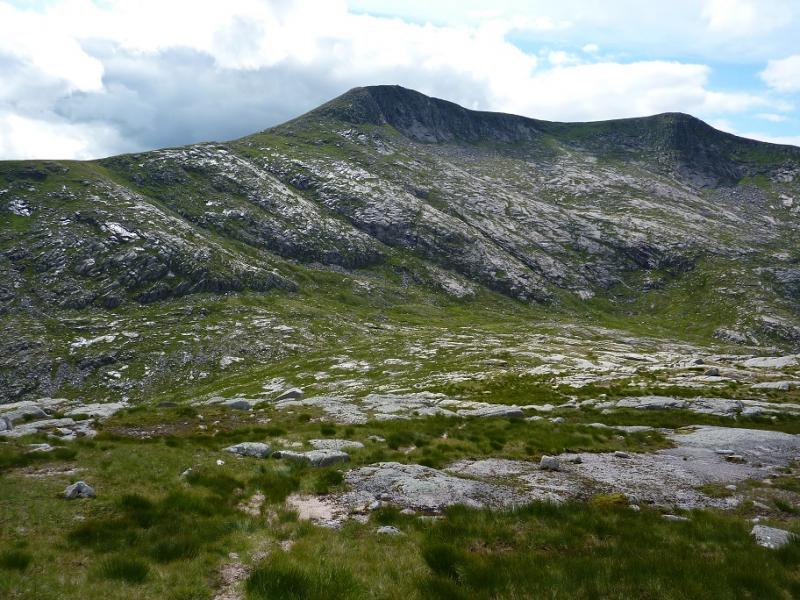
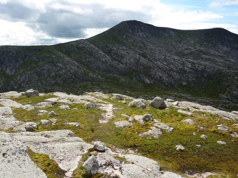
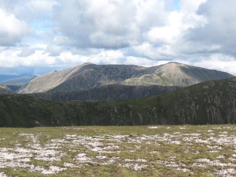
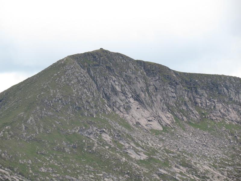
Stob Coir'an Albannaich, 1044 m, NN 169 443.
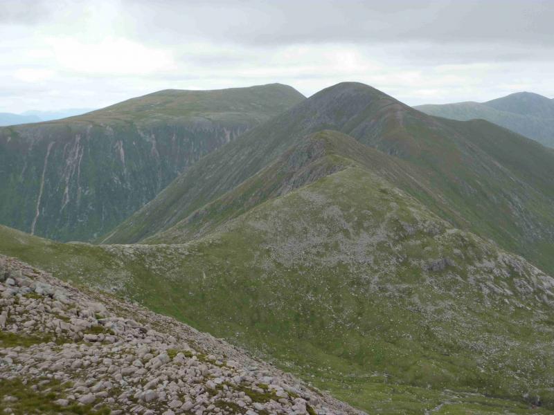
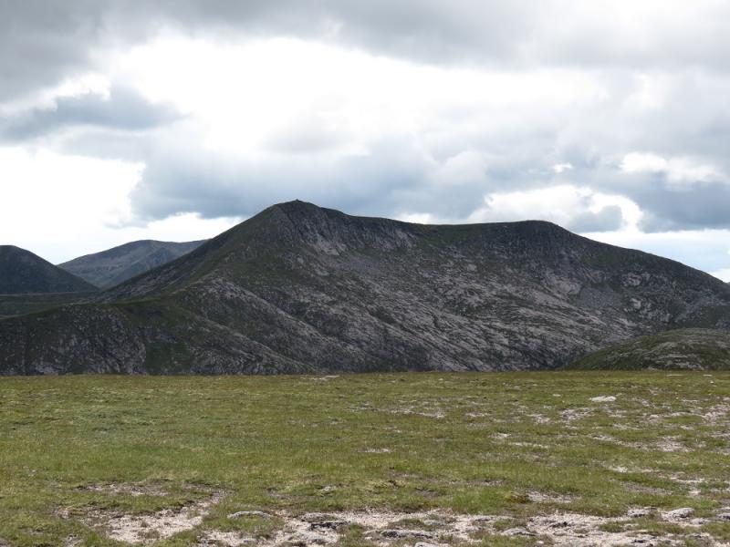
Meall Tarsuinn, 875 m, NN 179 449.
Meall nan Eun, 928 m, NN 192 449. OS Sheet 50.
Introduction
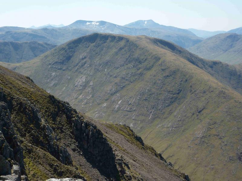
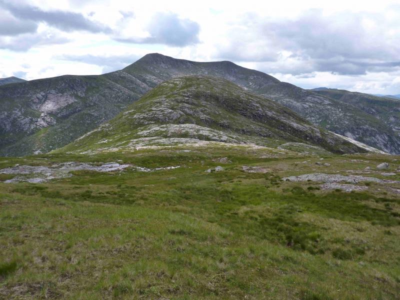
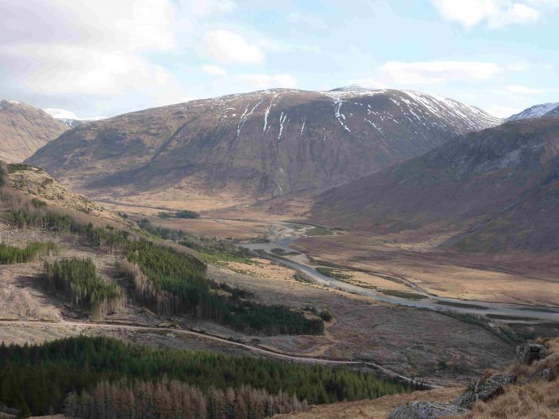
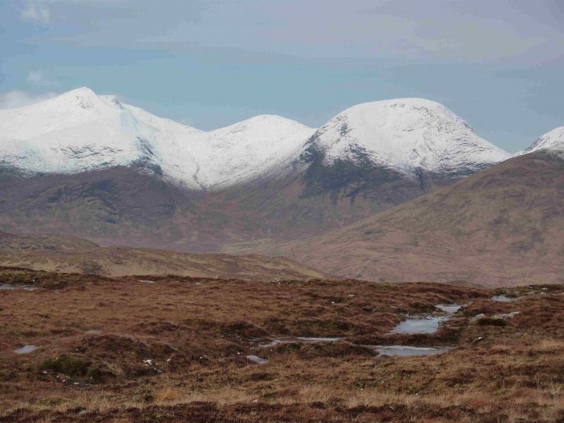
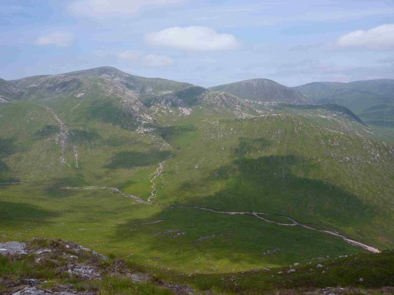
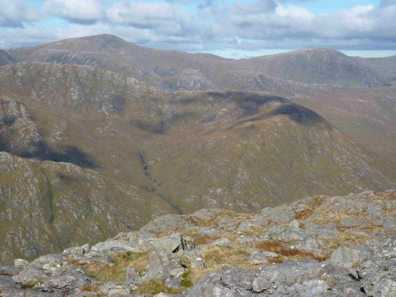
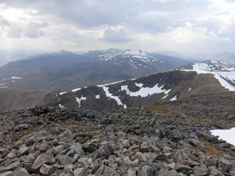
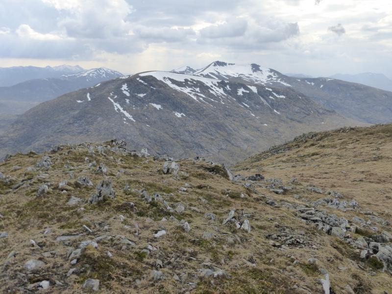
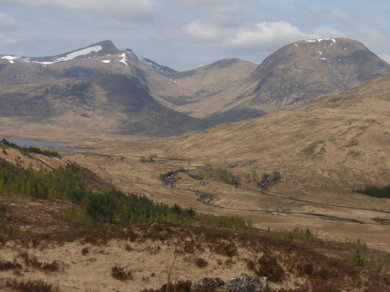
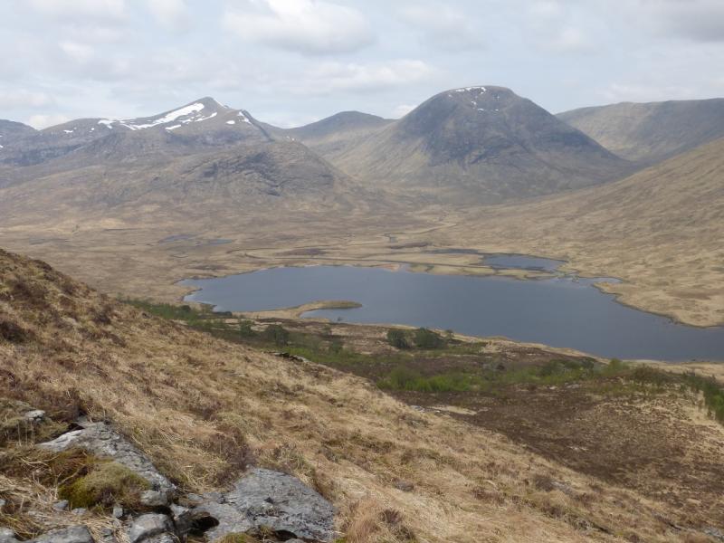
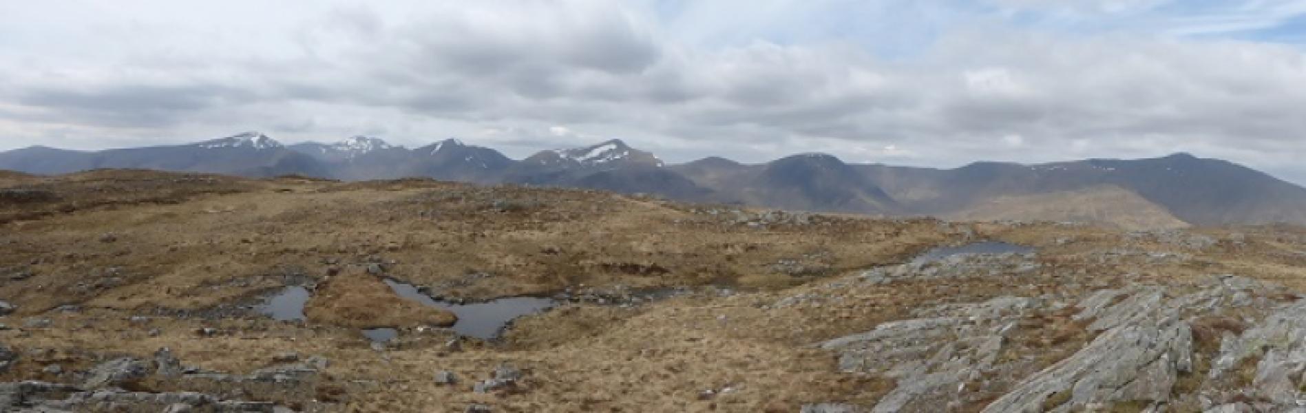
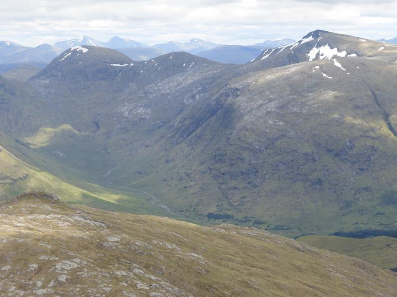
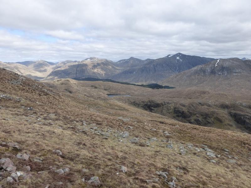
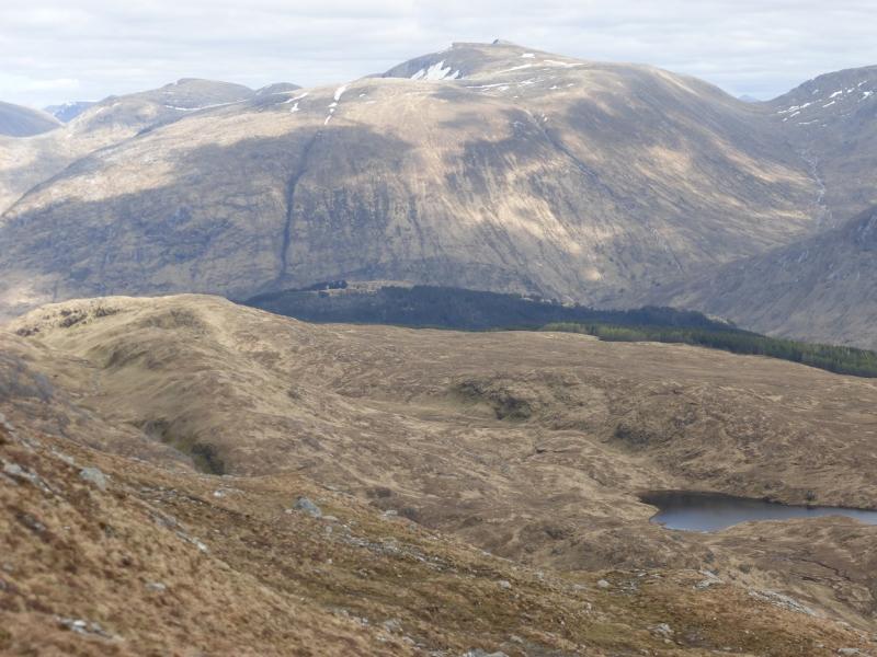
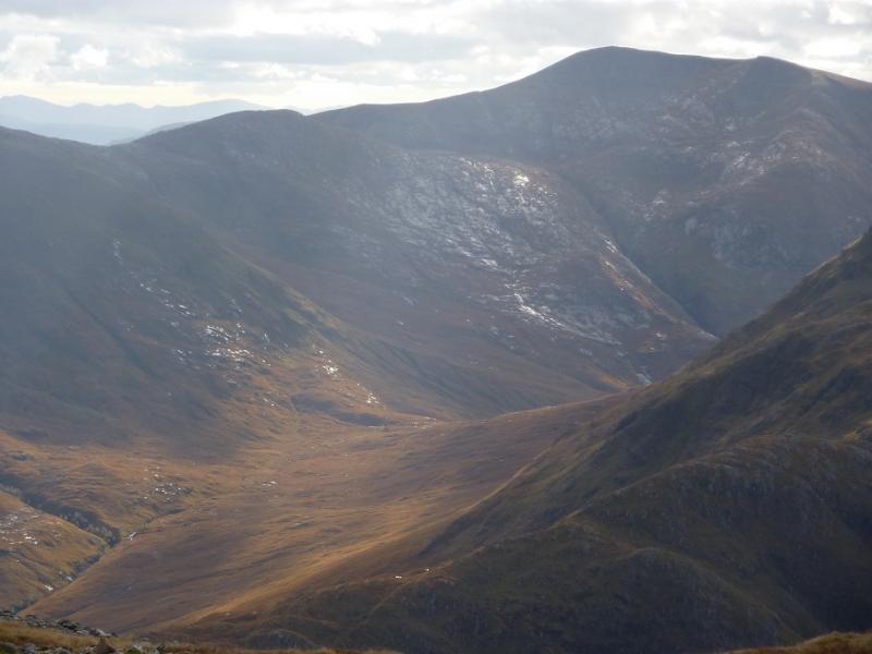
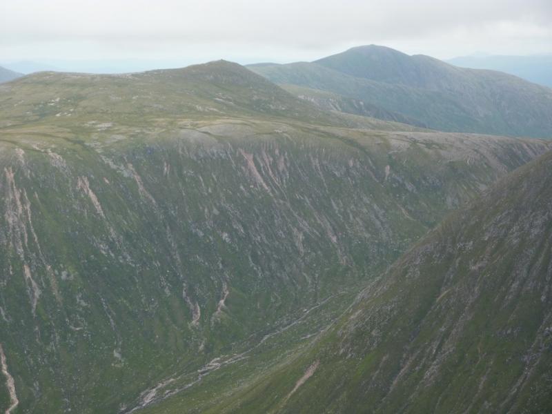
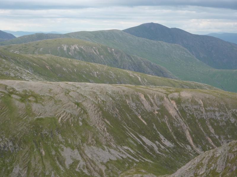
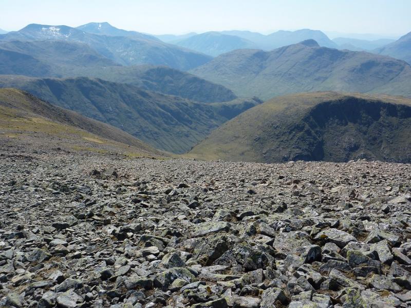
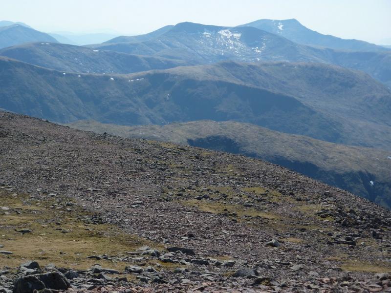
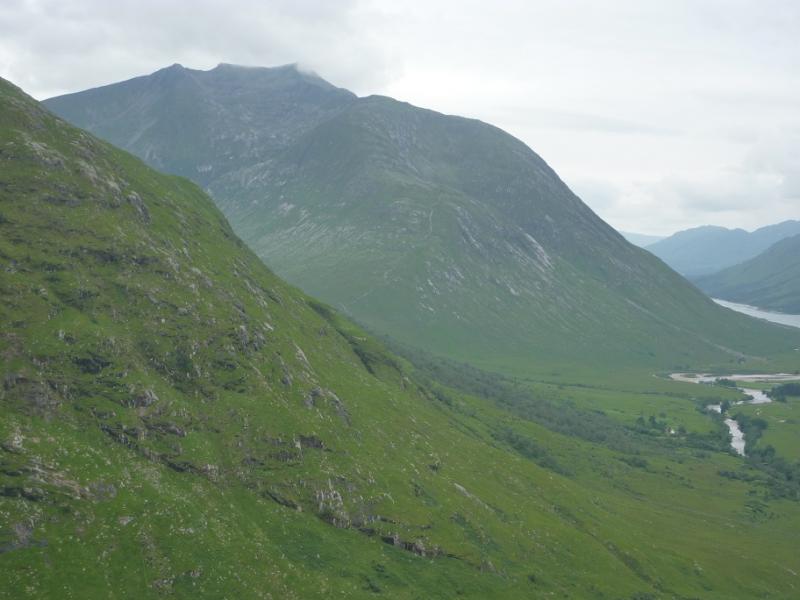
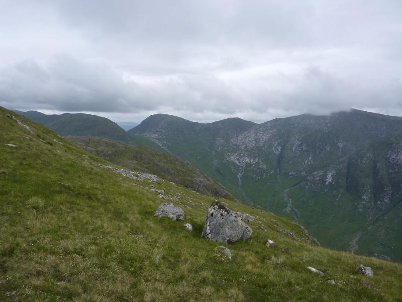
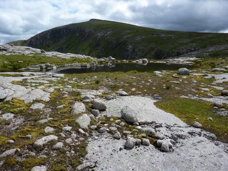
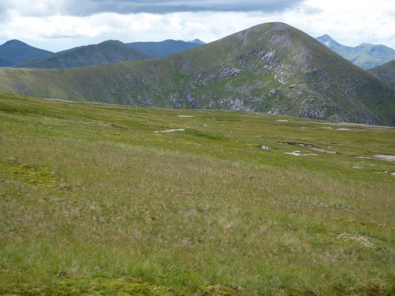
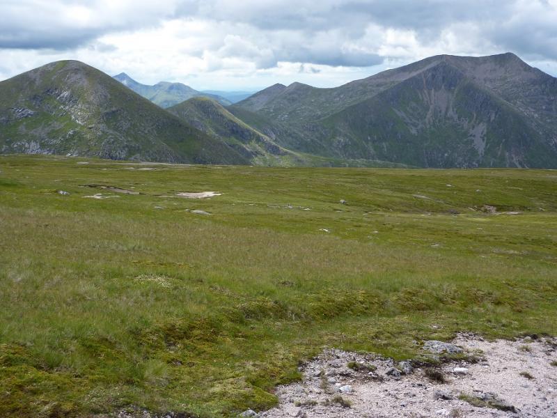
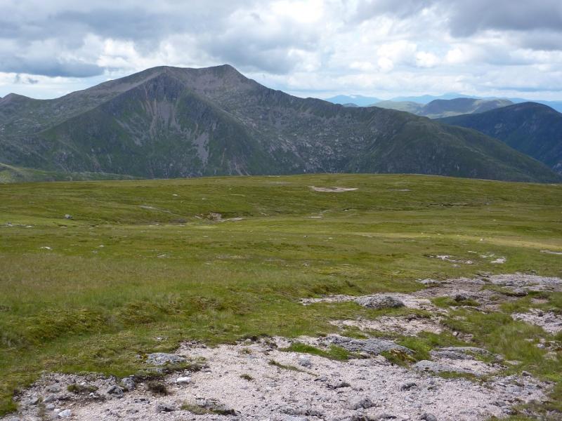
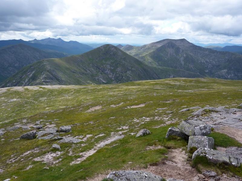
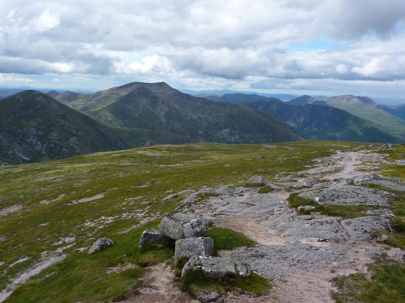
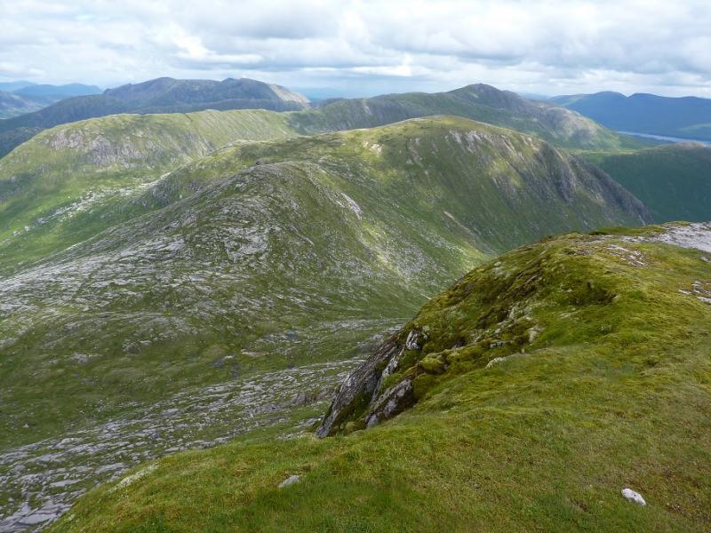
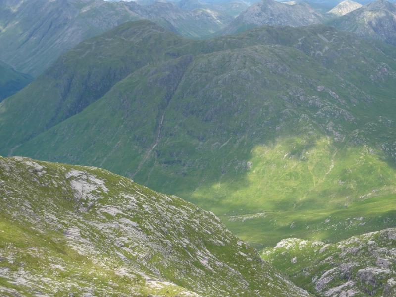
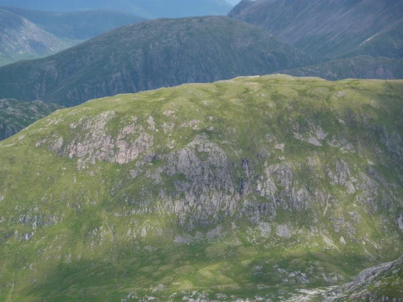
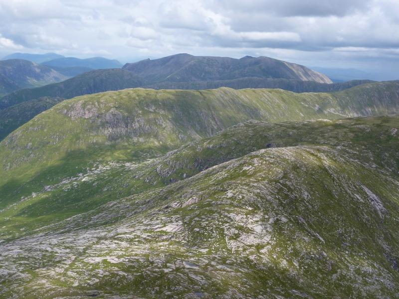
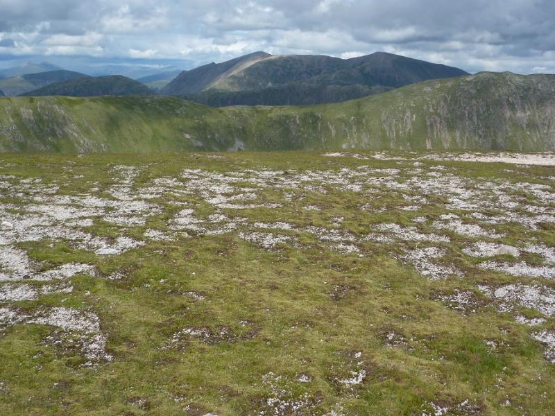
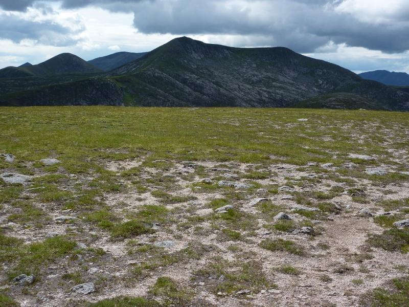
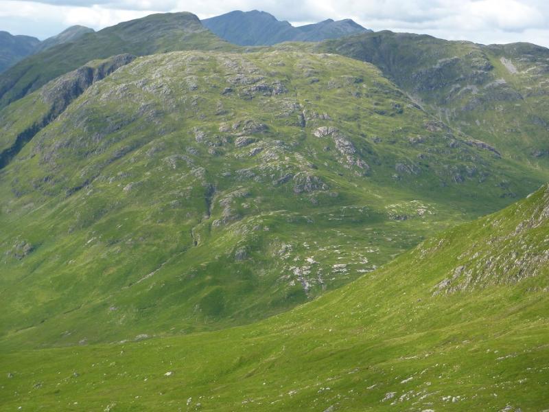
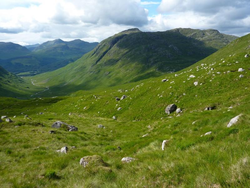
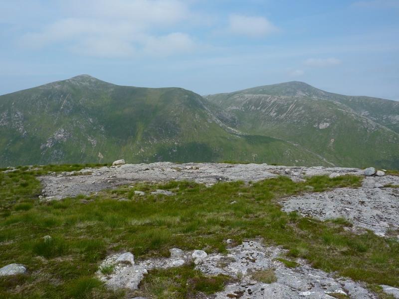
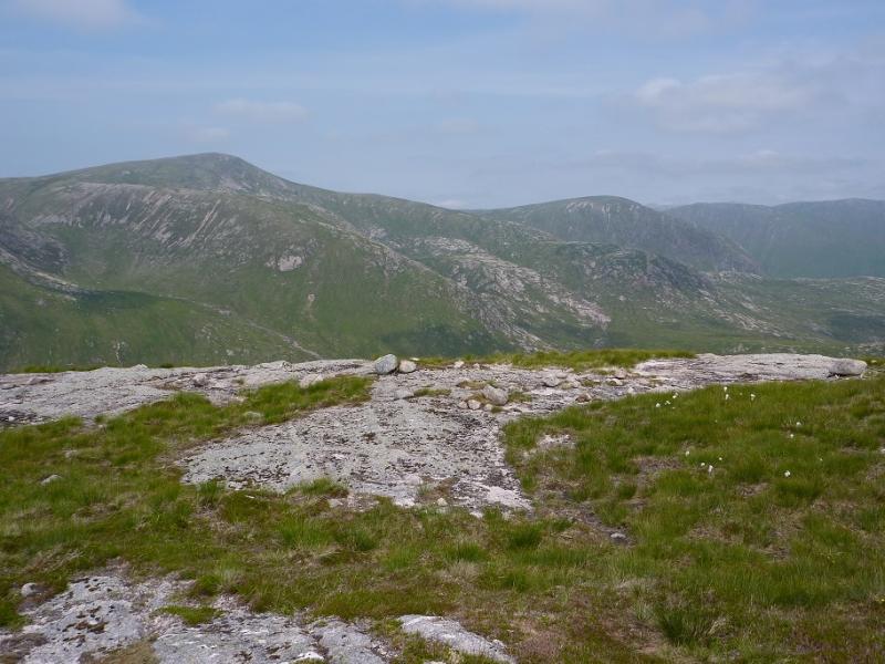
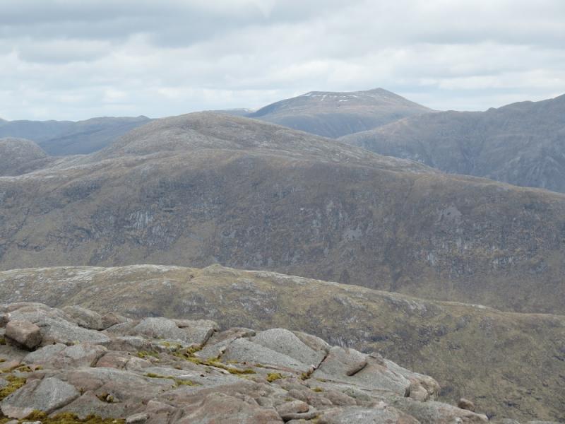
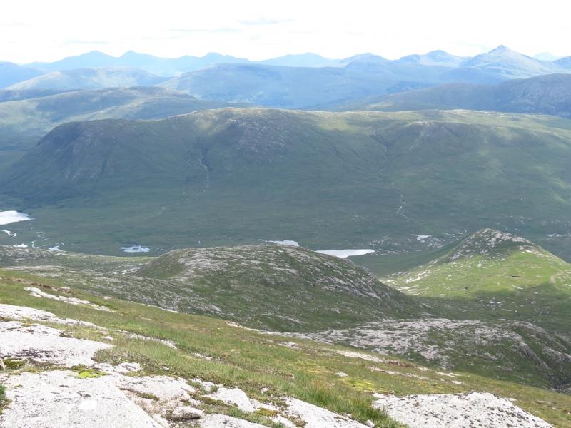
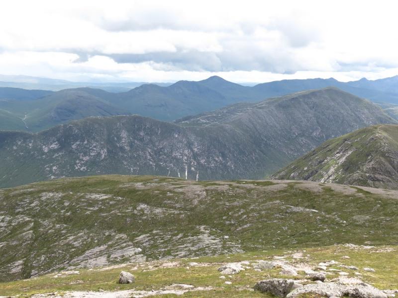
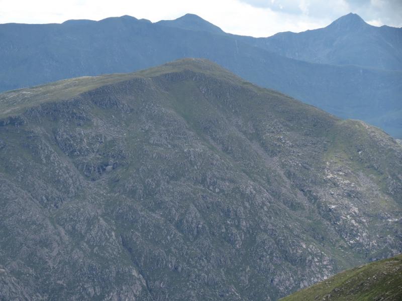
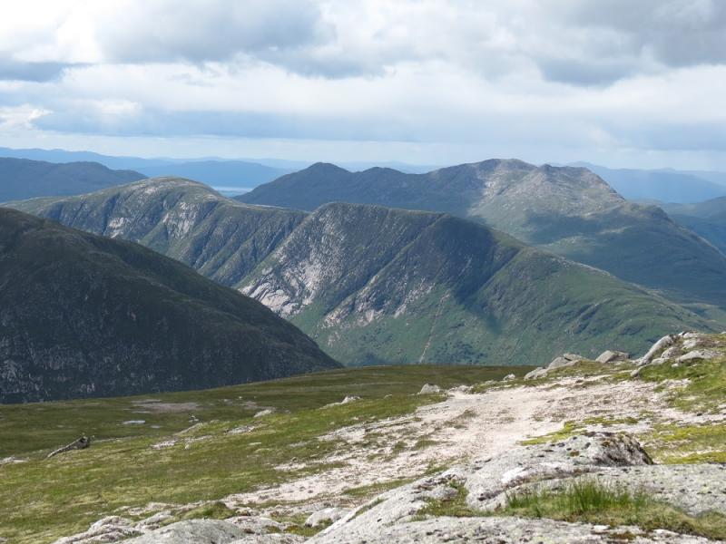
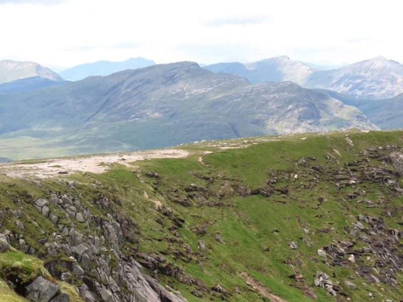
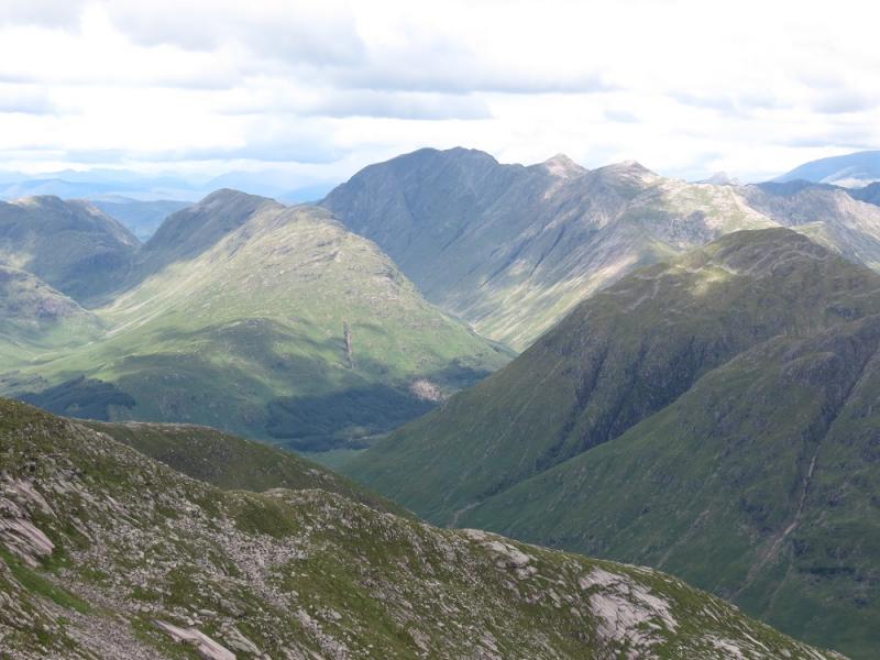
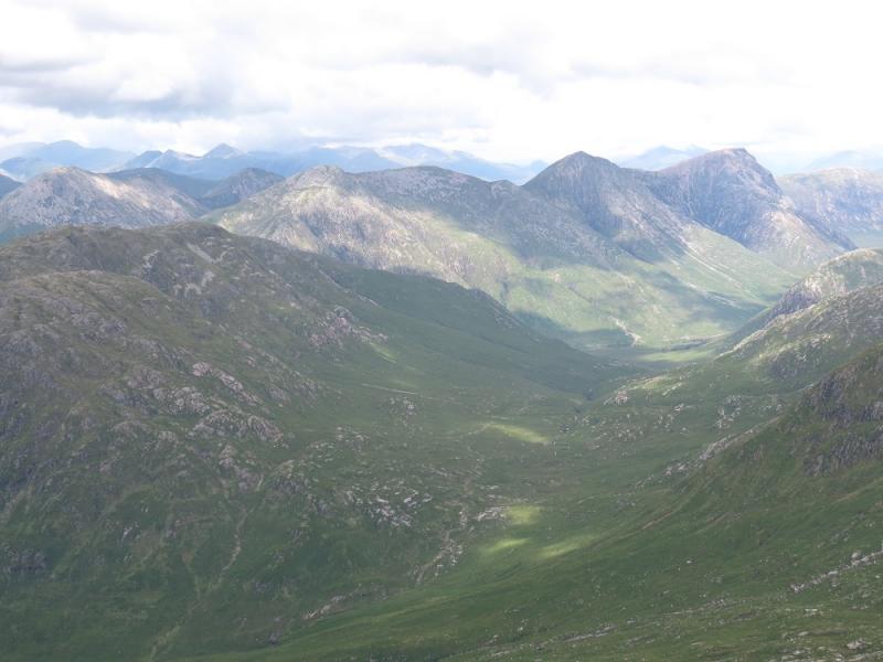
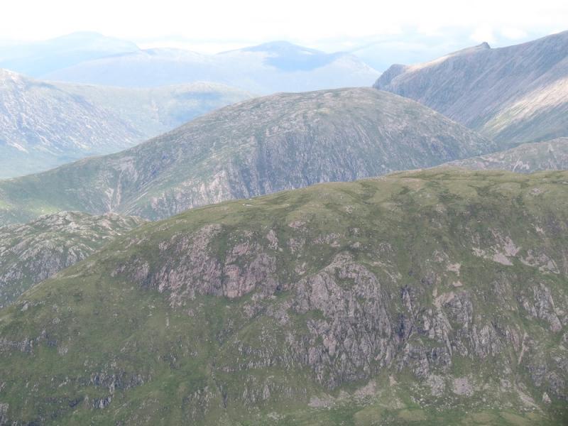
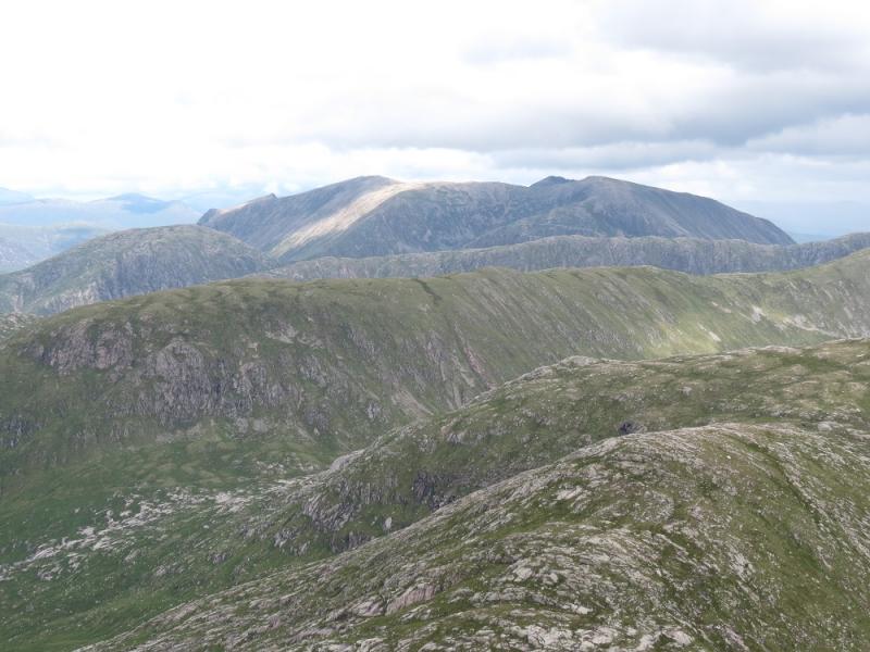
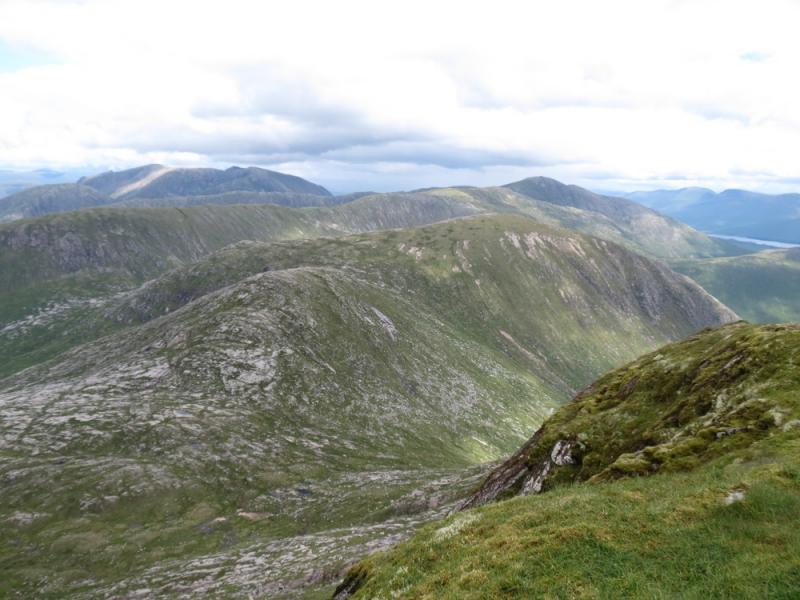
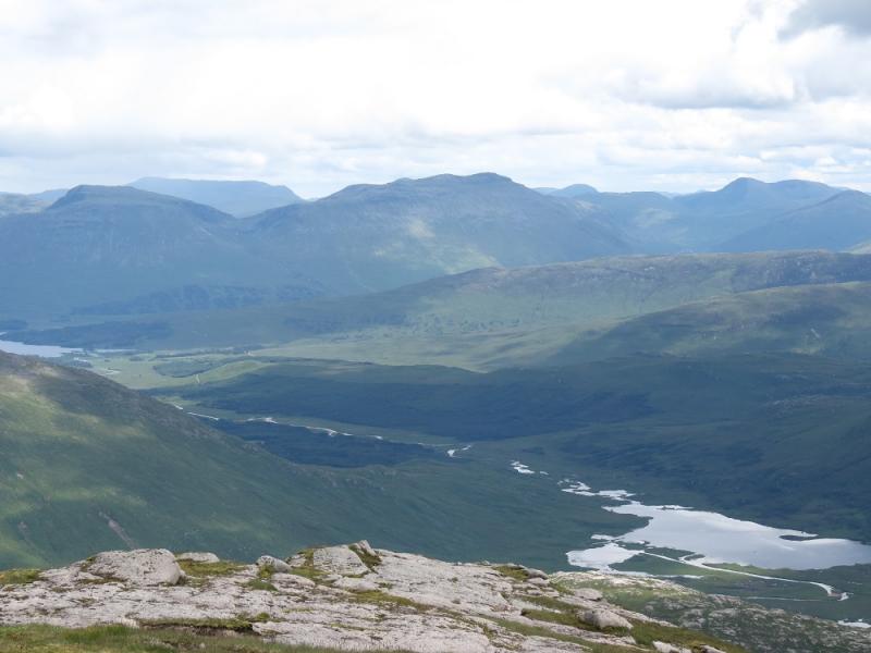
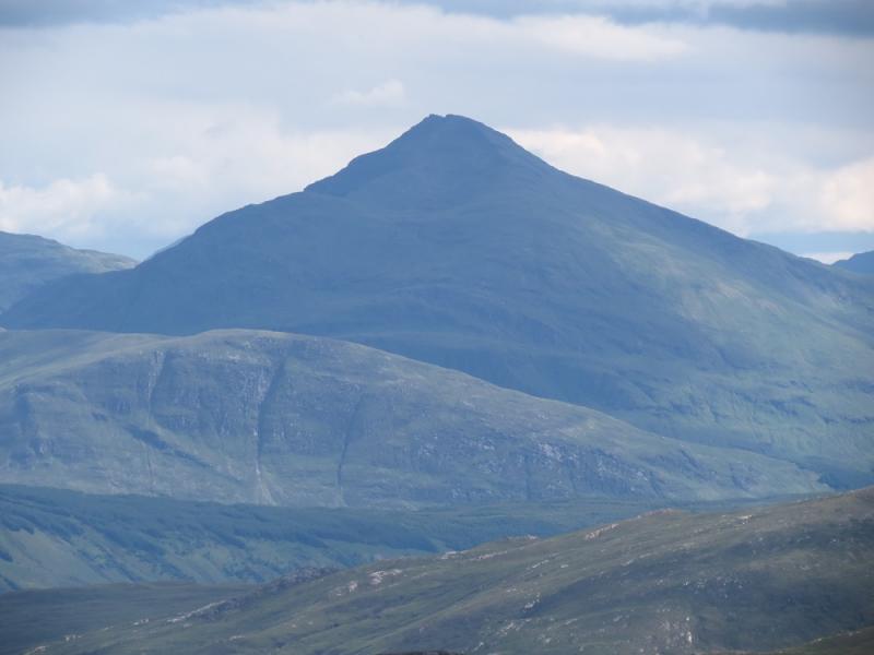
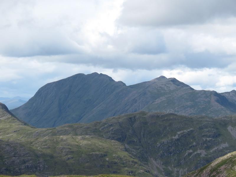
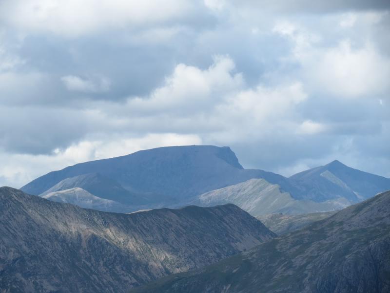
This is a fairly strenuous walk with quite a steep ascent. In summer, the ascent of Stob Coir'an Albannaich is more awkward as dense ferns cover the access path from Glen Etive. On a clear day, the views are probably the best from any Glen Etive peak with outstanding views in all directions including Ben Starav, Glas Bheinn Mhor, Beinn nan Aighenan, Beinn Trilleachan, Beinn Sgulaird, Beinn Fhionnlaidh, Sgor na h-Ulaidh, Beinn Maol Chaluim, Bidean nam Bian, Buachaille Etive Beag, Buachaille Etive Mor, Stob Dubh/Beinn Cietlein, Beinn Mhic Chasgaig, Creise range, Stob Ghabhar range plus distant views to Ben Nevis, Beinn a' Bheithir, Ben Cruachan, Ben Lui and even Ben More and Stob Binnein. Navigation may be challenging in mist, especially from Stob Coir'an Albannaich to Meall nan Eun but, given the outstanding views, this walk should be saved for a fine day. In the stalking season, a notice asks walkers to ascend Stob Coir'an Albannaich from its bealach with Glas Bheinn Mhor. This should pose no problems although there is not much of a path from the bealach but a good one to it as it uses the return route from Glas Bheinn Mhor. The first edition of the SMC Munros guide suggested that Stob Coir'an Albannaich should be ascended from the bridge near Glenceitlein cottage. Later editions have dropped this suggestion. The ascent is possible from here but it is pathless until on the crest.
Route
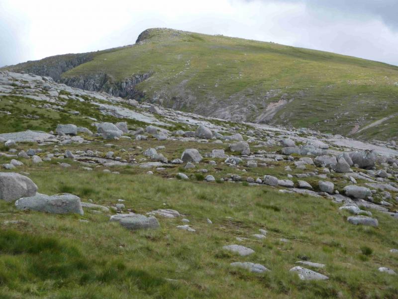
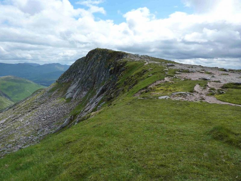
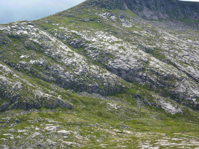
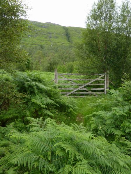
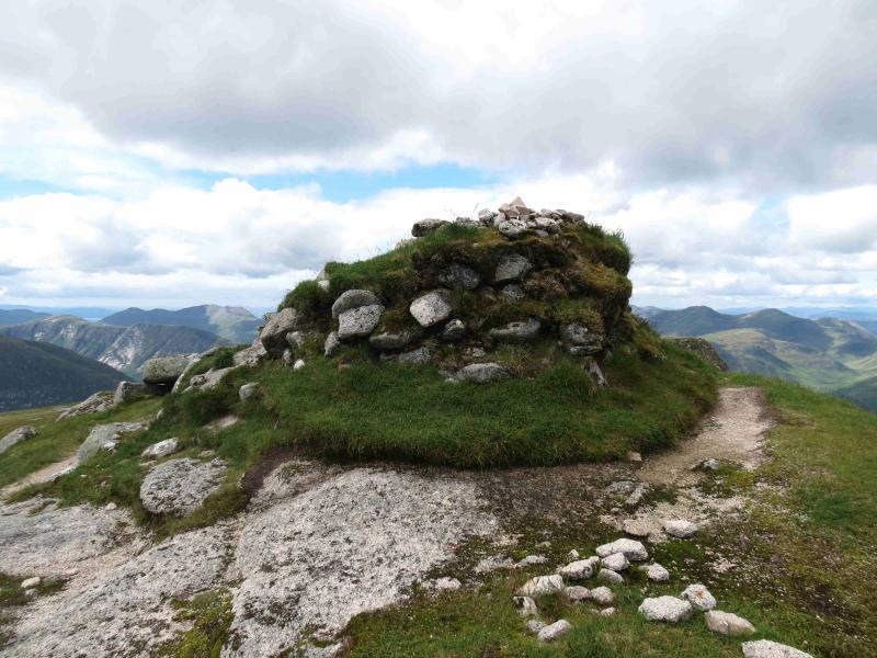
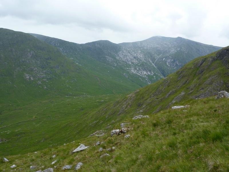
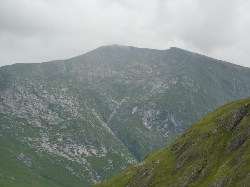
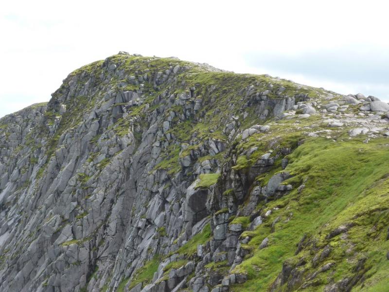
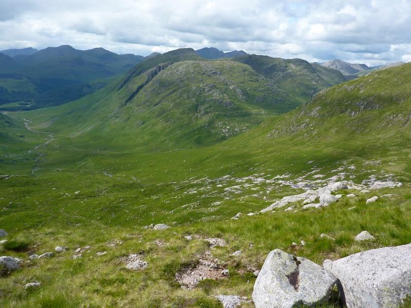
(1) From the car park, walk about 50 m towards Loch Etive then take the track down to the bridge over the River Etive. Continue across the bridge, taking the left turn soon after, to reach the first gate on the right with the obvious gully behind. Go through the gate and follow a faint path into a wood of scattered birch trees. In summer, dense ferns can make the path difficult to follow but the path gradually drifts towards the stream coming down the gully. Continue upwards until a deer fence is met at the top of the wood. Near to the stream, there is a bottom section missing which one can easily pass through. Continue up, still on the path (left, N, of the stream). The path meanders up with no really steep sections but there are some not so obvious changes of direction. Higher up, some outcrops appear which are easily by passed. In places, the path is on the edge of very steep grass high above the stream but this should not cause concern in summer conditions. Higher up, one can cross the stream and ascend easier grassy slopes which go S then SE towards the top. If one stays with the stream then continue to its source and beyond to reach the crest which goes S then SE towards the top. Both alternatives will cross streams which should not pose any problems. The final section is along the lip of a steep corrie, facing NE, and leads to a small mound where a medium cairn marks the summit of Stob Coir'an Albannaich.
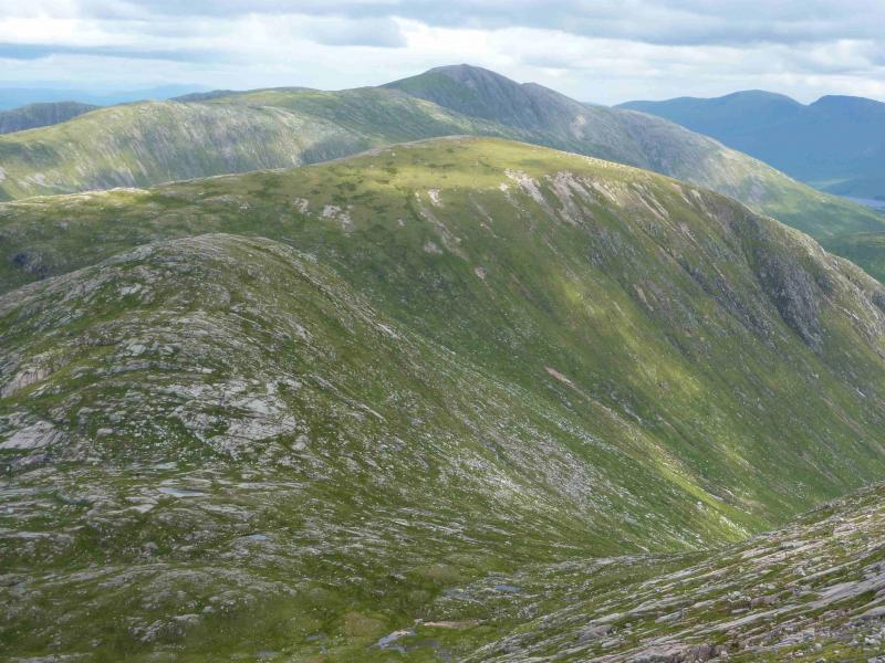
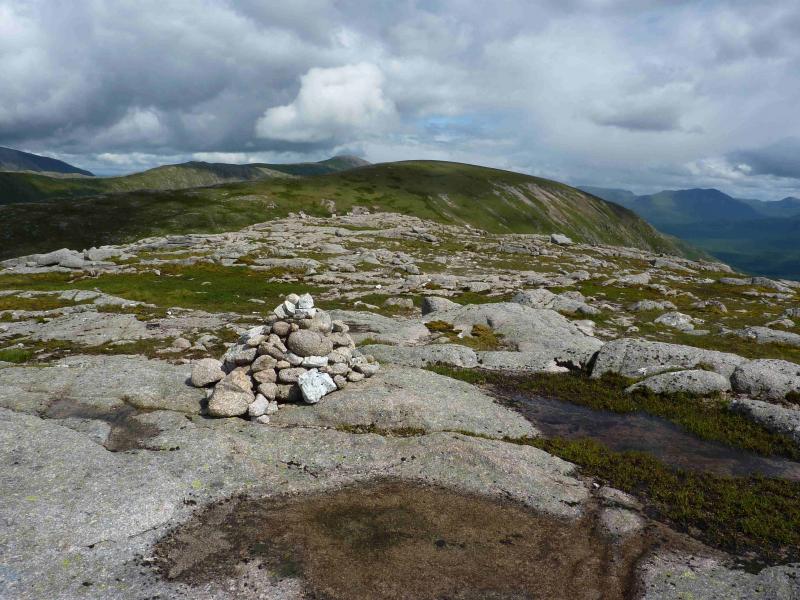
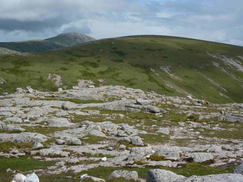
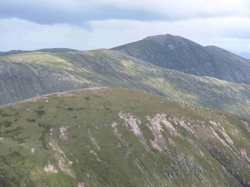
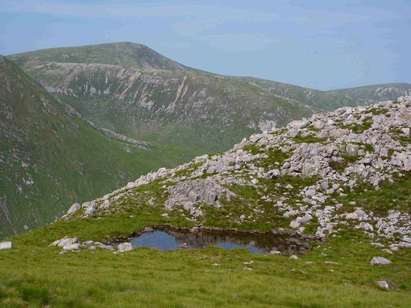
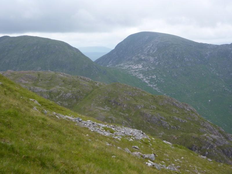
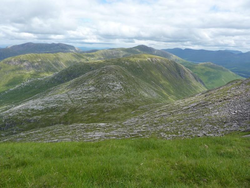
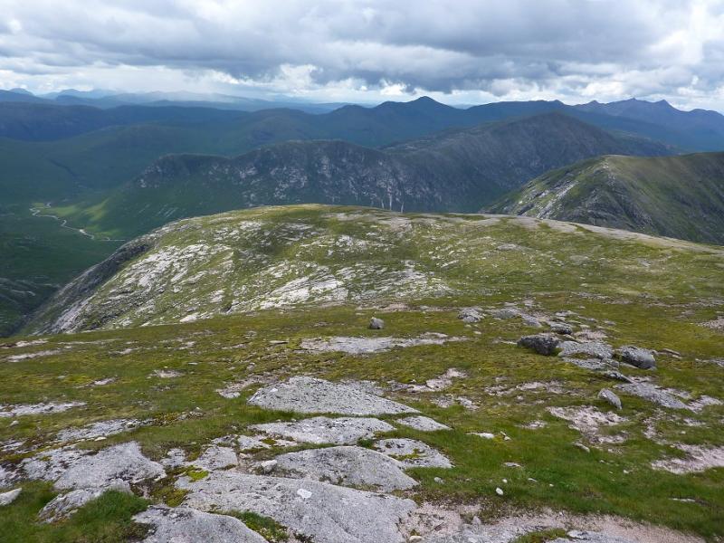
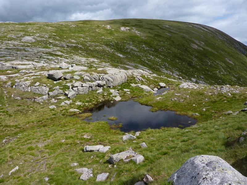
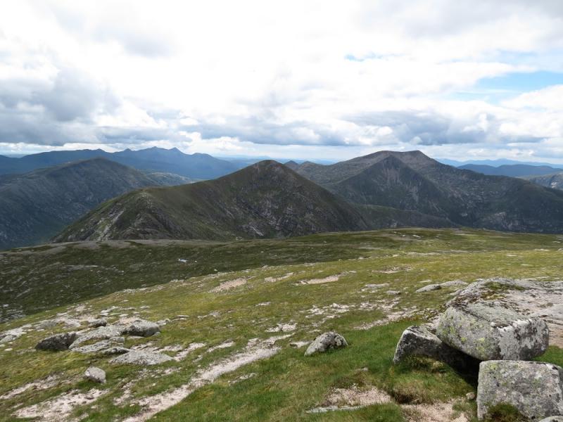
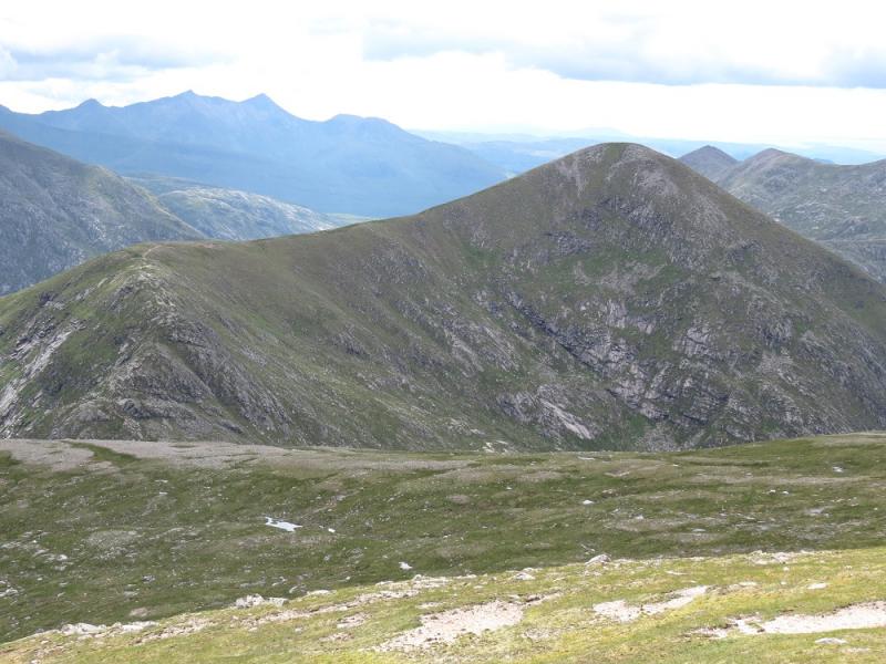
(2) Descend down the SE ridge, on a good path, for about 8 – 10 minutes until a short level section is reached. (Beyond here is a slight rise then a gentle descent to a longer level section). A distinct path goes off left, NE, and starts descending a gentle, grassy gully. Lower down the gully becomes more rocky but there are no difficulties to worry about and it leads down to a grassy bealach containing many tiny lochans. The path crosses the bealach and starts to ascend Meall Tarsuinn. Some of the route crosses very easy slabs and generally heads ENE and soon reaches a falt summit area where a small cairn marks the summit of Meall Tarsuinn, 875 m.
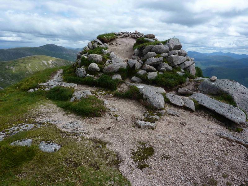
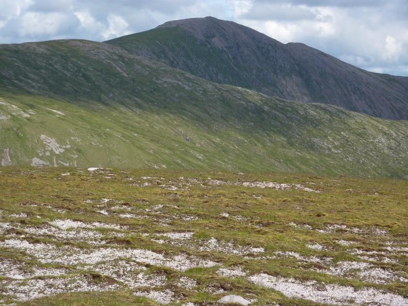
(3) Descend, still on a path, ENE, to reach a double dip bealach with a tiny lochan in the first dip. Ascend ENE to reach the broad NW ridge of Meall nan Eun. Turn right, SE, and ascend easy slopes to soon reach a plateau, at the far end of which is a medium cairn which marks the summit of Meall nan Eun, 928 m.
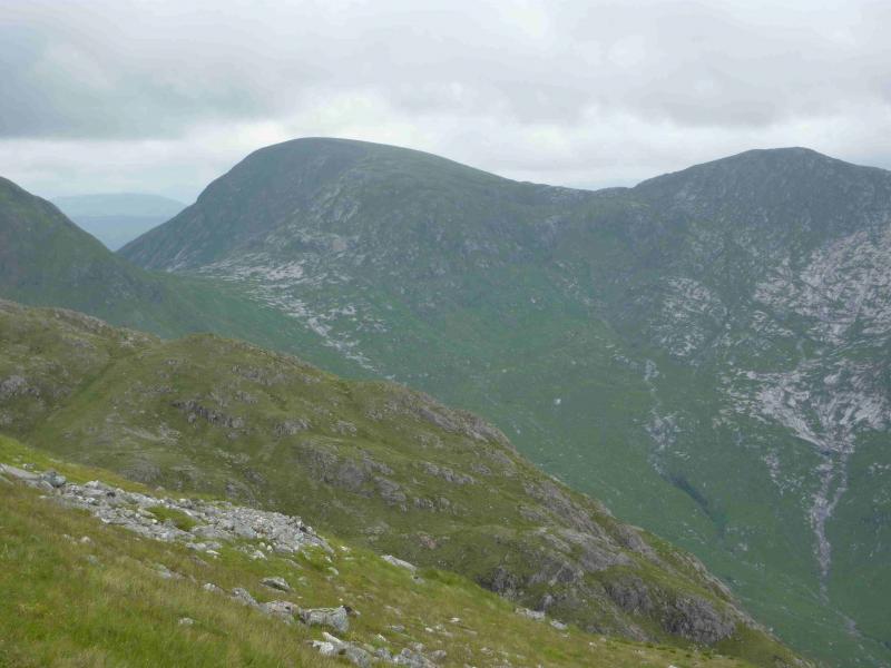
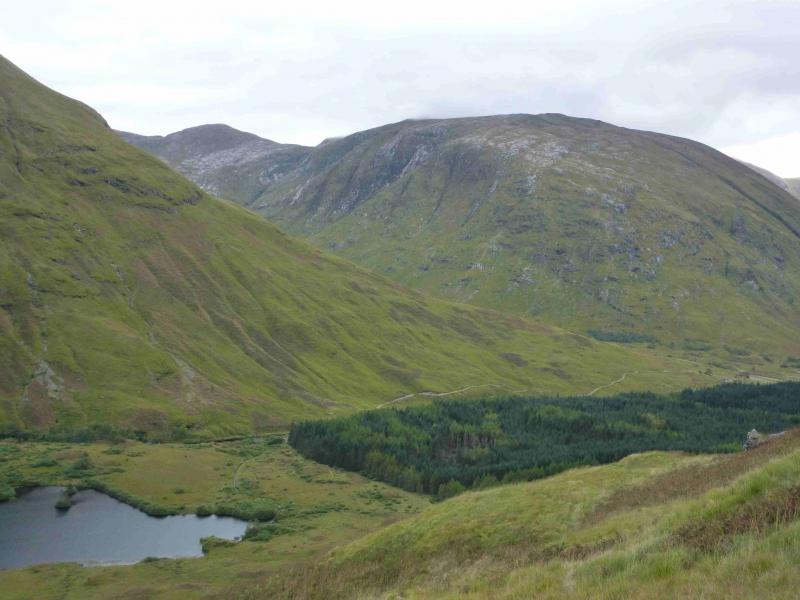
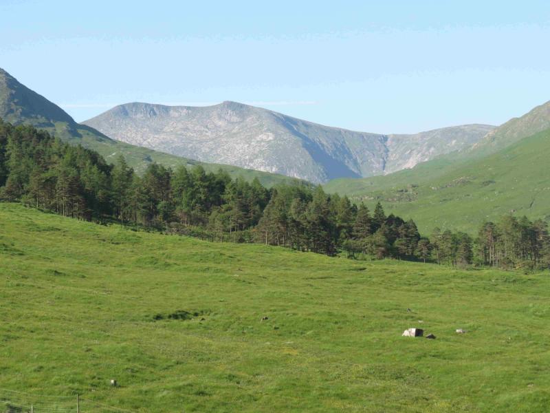
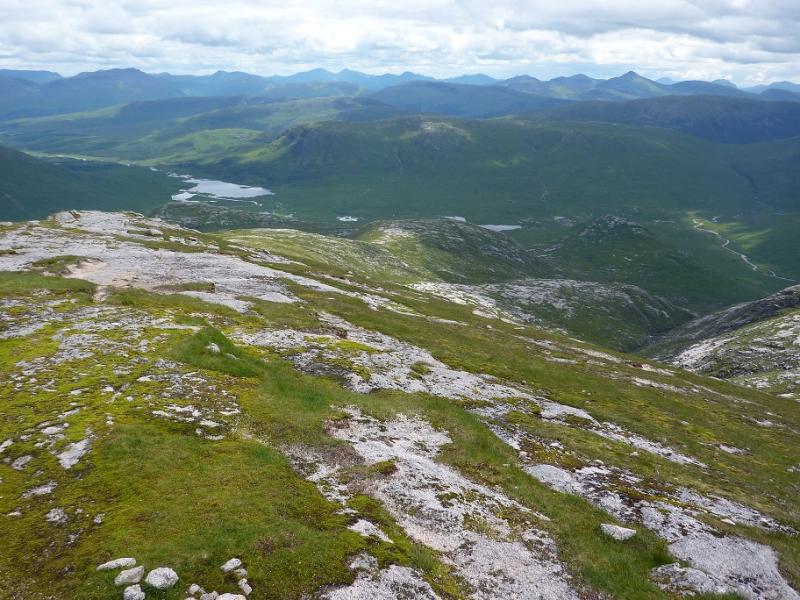
(4) Retrace down the NW ridge of Meall nan Eun aiming for Coire Riabhach between the two streams. There is a faint path at first but this can be difficult to follow, however, the ground is fairly kind and hints of paths will keep appearing if one is roughly on the correct line. There are a few minor crags but these are easily outflanked. Once a substantial stream is reached, it can be followed down into Glen Ceitlein. If one is not on a good path, one soon will be. Glen Ceitlein can be boggy but navigation is easy – just stay on the N side of the now wide stream until a good track is reached before the cottage at Glenceitlein. Cross the bridge and follow the track, going right at the junction after about 1.5 km to reach the bridge over the River Etive and the track back to the start.
Notes
(a) This walk took place on 4th August, 1994, from Glenceitlein bridge, 21st August, 2008 from the Glas Bheinn bealach, and 19th July, 2012, using the gully route described above
(b) To do this route in reverse, make sure that you ascend Meall nan Eun and not Meall Odhar which leads to Stob Ghabhar. Many have apparently made this mistake! Descend to the Glas Bheinn Mhor bealach.
(c) Some additional archive photos were added in August, 2021.
Photos - Hover over photo for caption. Click on to enlarge. Click on again to reduce.