Get Lost Mountaineering
You are here: Scotland » 16 Coigach to the Pentland Firth » East of Bonar Bridge to Tongue Road
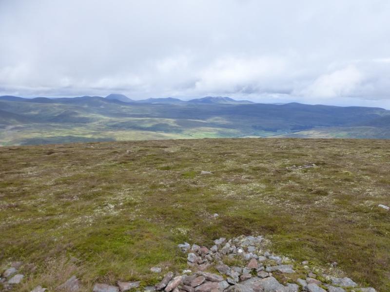
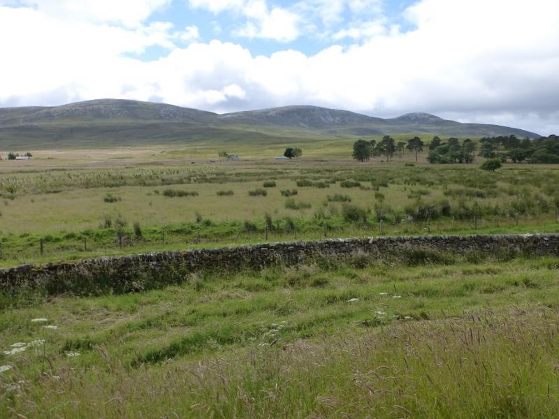
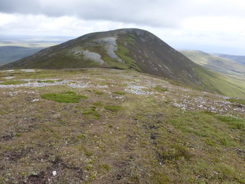
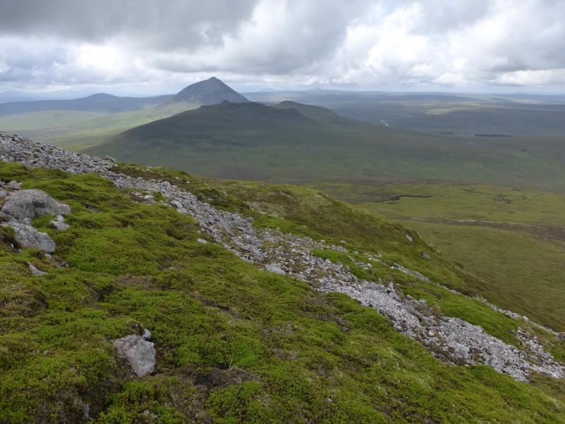
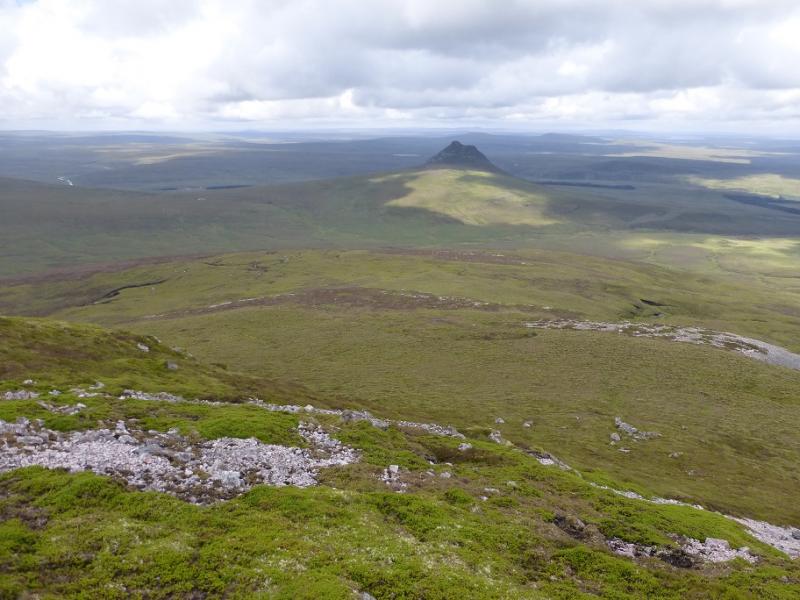
Scaraben from Braemore
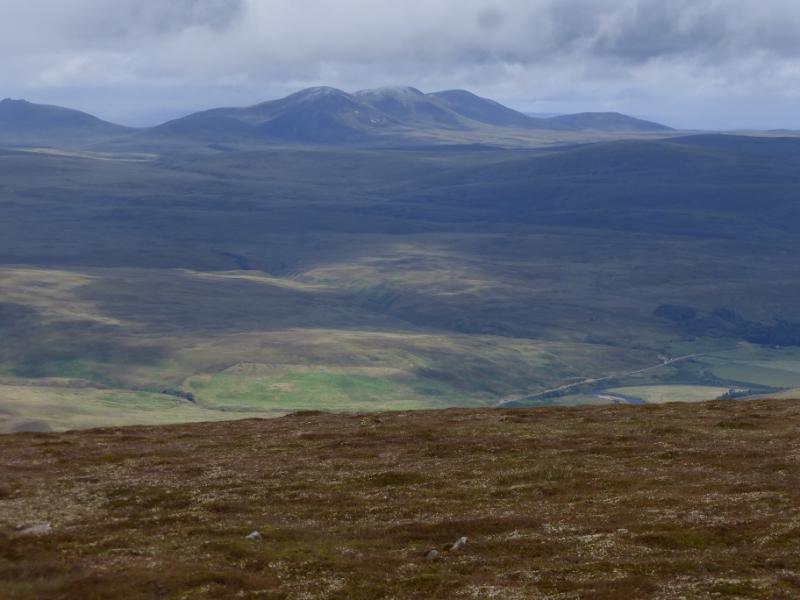
Scaraben from Braemore
Start/Finish
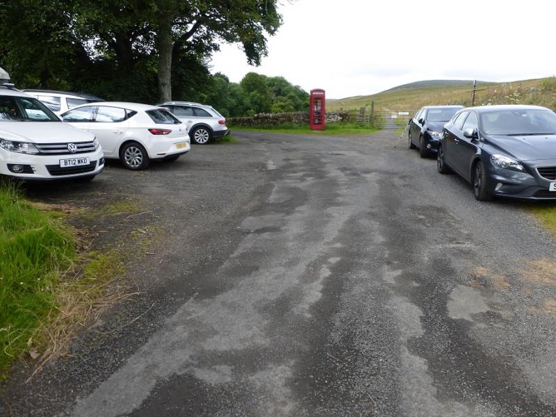
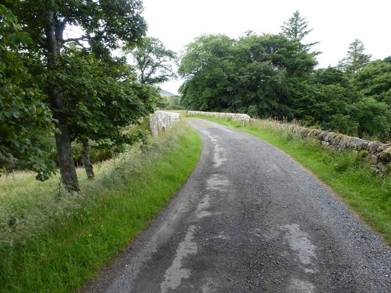
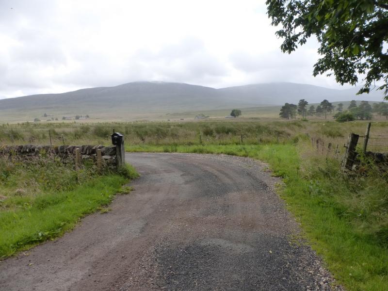
Parking spaces before the bridge at Braemore where there is also an old telephone box. Braemore is about 6 miles along a minor road which starts just to the south of Dunbeath on the A9. Dunbeath is about 16 miles north of Helmsdale and about 20 miles south of Wick. There are spaces for about 6 cars so arrive early in the season. For those with Sat Nav, the nearest postcode seems to be KW6 6EX. This takes one to the last building before the bridge.
Distance/Time
12 km. About 5 hours.
Peaks
Scaraben, 626 m, ND 066 268. OS map 17: Helmsdale etc
Introduction
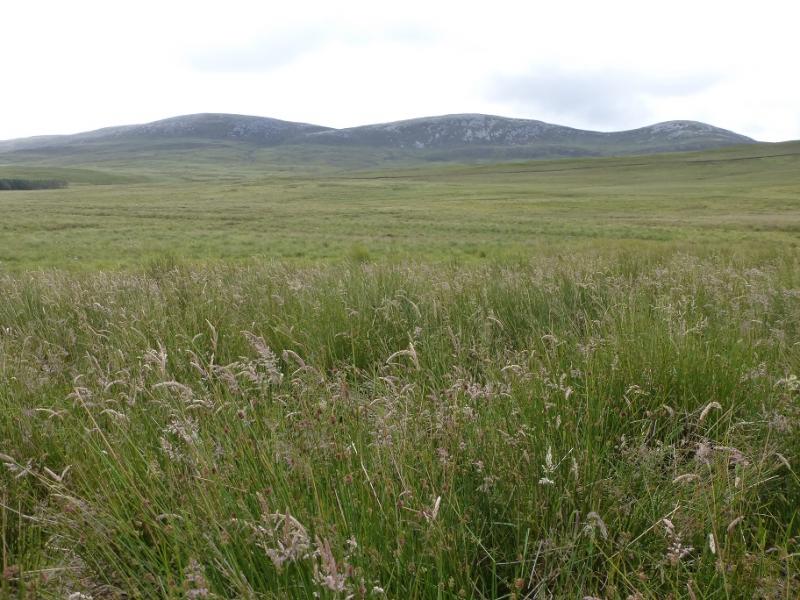
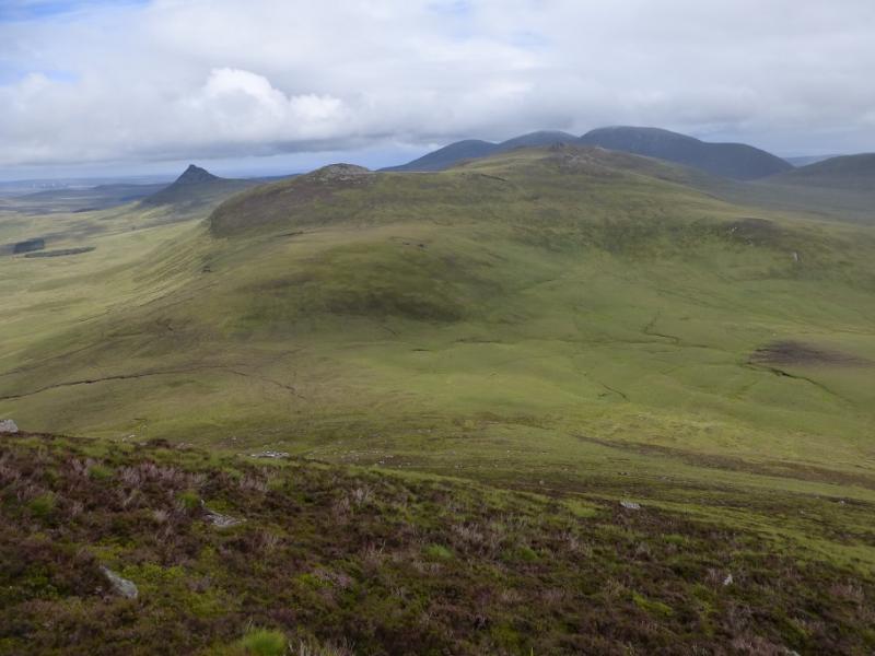
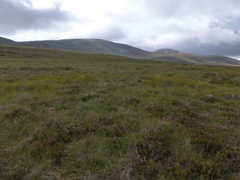
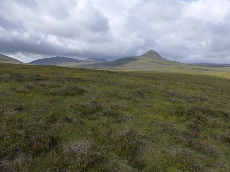
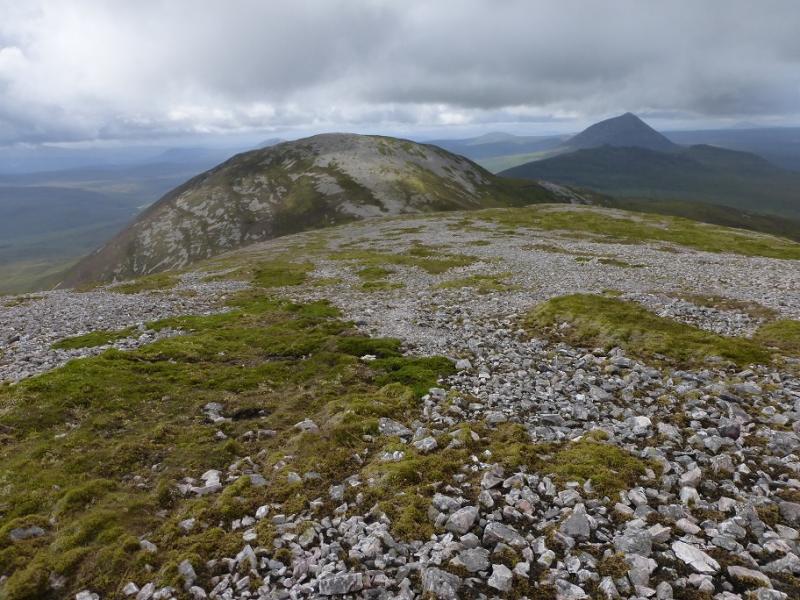
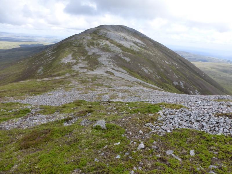
This is a rough walk with no paths on the hill itself including the crest! The lower ground is rough meadow. Scaraben is known for its three tops of roughly the same height with the central one being the highest. It offers good views to Morven and Maiden Pap.
Route
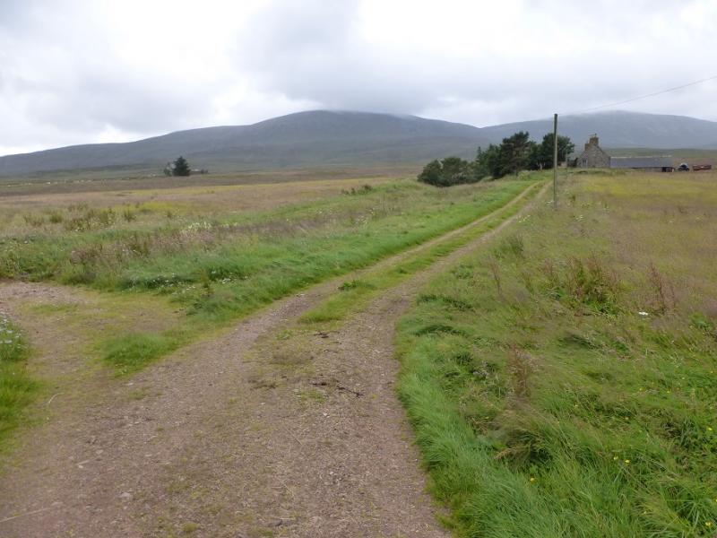
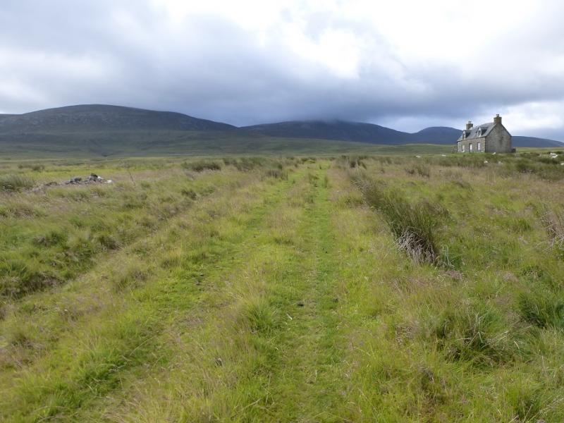
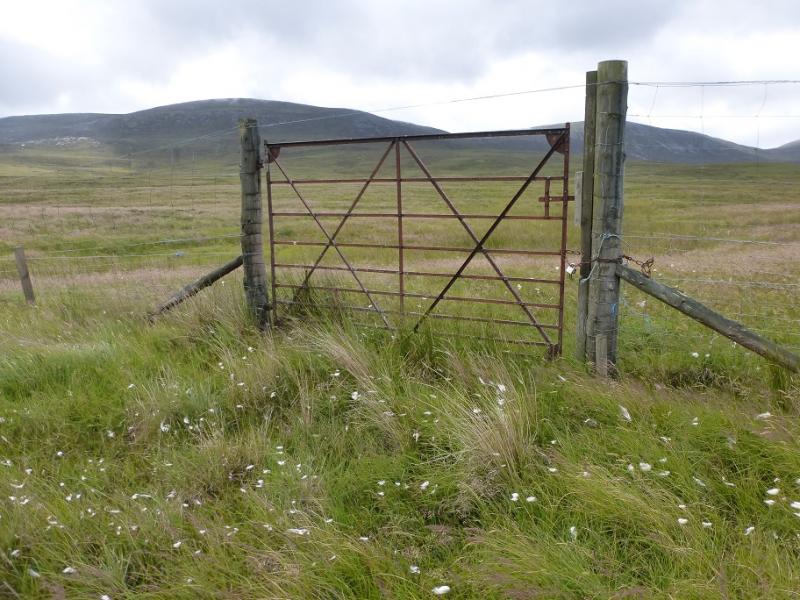
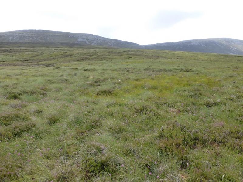
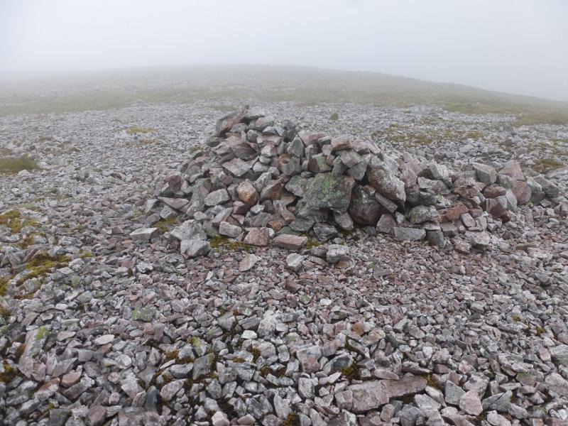
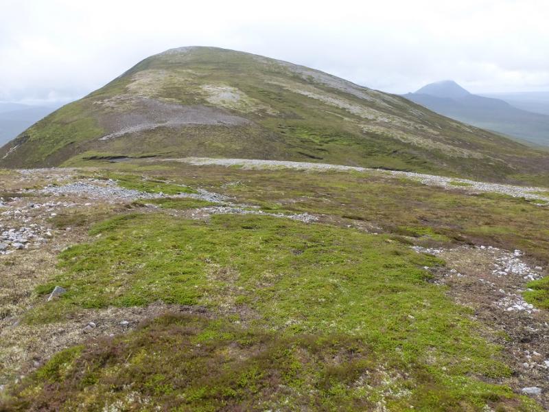
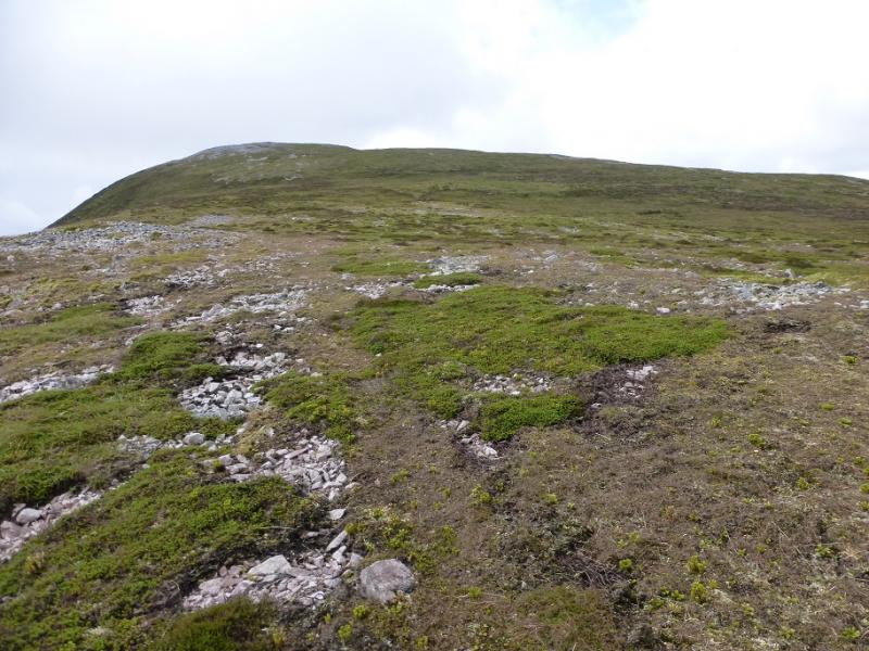
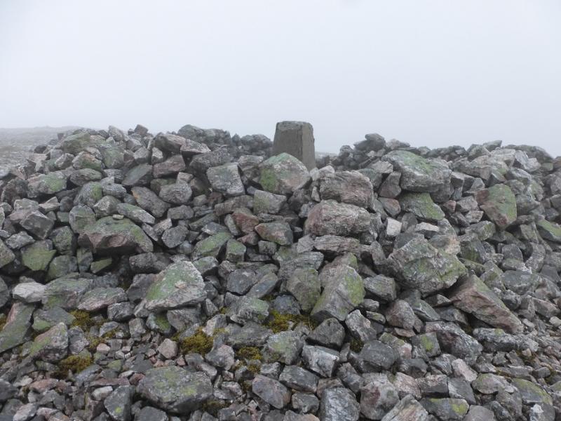
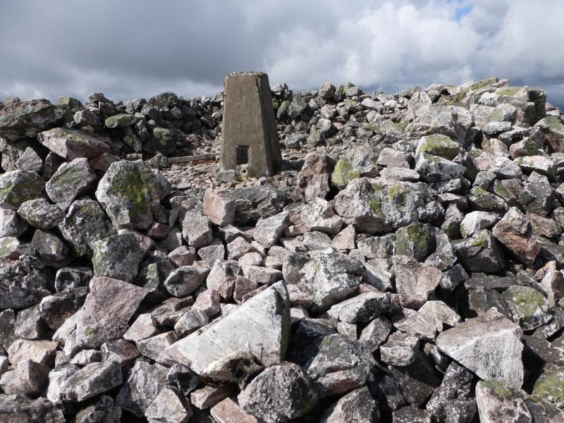
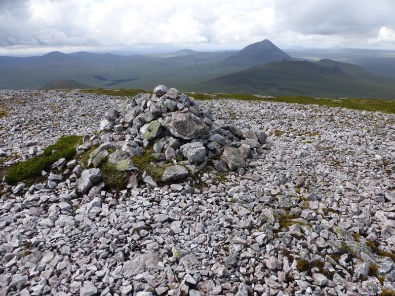
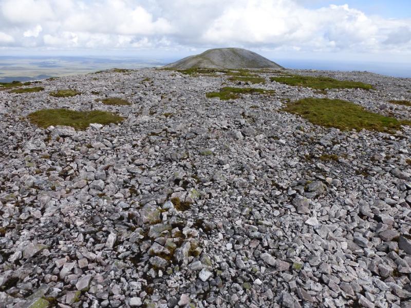
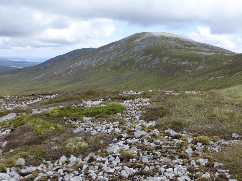
(1) Cross the bridge and, almost immediately, turn left on to another track which follows the side of the river. When the main track leaves the river, ignore it and continue on a slightly fainter track then take the next track which leaves the river. Follow this to an abandoned house then start to pick a way through the rough meadows towards Scaraben East Top. Two ridges, one to the left and one to the right offer routes tot he crest. This route takes the right hand ridge so drift right from the house. Pass through an old open gate then reach a deer fence with an old metal gate with a wire across the top. For some reason, this gate is locked (no vehicles could get to it!) so it has to be climbed over which is not that easy. Once over, pick a way up rough grass and heather to reach the crest, passing through a line of old fence posts just before. Follow the crest E to reach a medium shelter cairn which is the summit of East Scaraben. Walk WSW, along the stony crest, and descend to a col then ascend up similar slopes to reach the large shelter cairn, containing a trip point, which is the summit of Scaraben, 626 m.
(2) Continue W, along the crest, and descend to a similar col then ascend up similar slopes to reach the medium cairn which is the summit of West Scaraben. Descend N down a mainly grassy ridge, drifting E when the slope steepens lower down. Aim for the stream between Maidem Pap and Scaraben. Cross it and follow it down towards the houses at Braeval. Go through a gate into a field with a metal deer then continue, through another gate to reach the main track from Corrichoich to Braemore. Turn right and follow the track back to the start. Do not be tempted to go to the left of Braeval and follow a fence as one will have to go through a very boggy animal pen just before the track.
Notes
(a) This walk took place on 31st July, 2016, and about 15 years earlier when it was combined with Scaraben making it a very long and tiring walk!
Photos - Hover over photo for caption. Click on to enlarge. Click on again to reduce.