Get Lost Mountaineering
You are here: Scotland » 15 Loch Broom to Easter Ross » Dingwall to Loch Vaich & Strathcarron
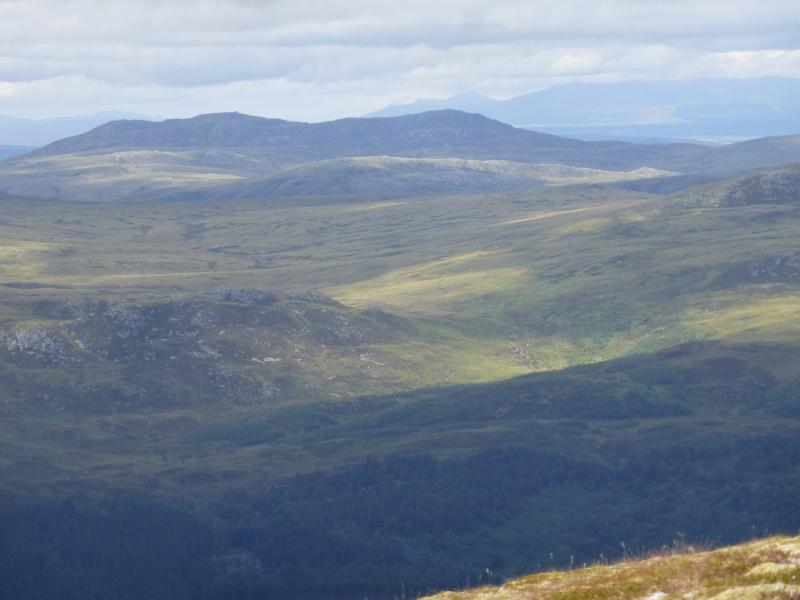
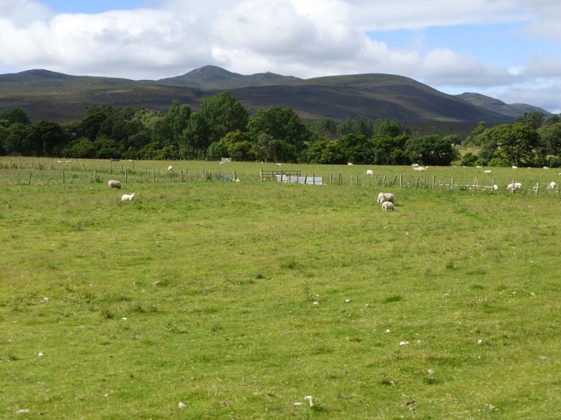
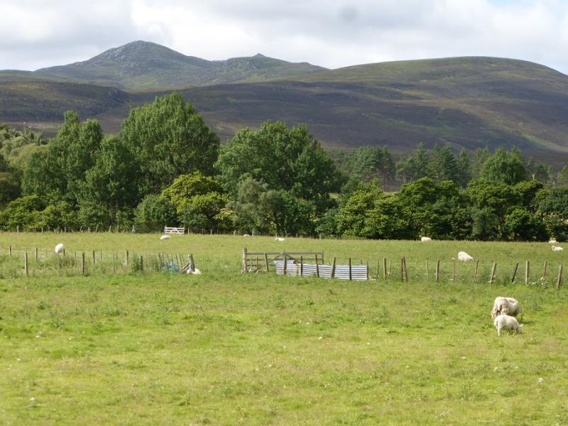
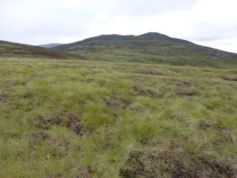
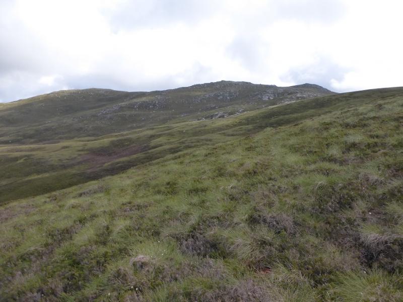
Carn Salachaidh from Gruinards Estate Entrance in Strathcarron.
Carn Salachaidh from Gruinards Estate Entrance in Strathcarron.
Start/Finish
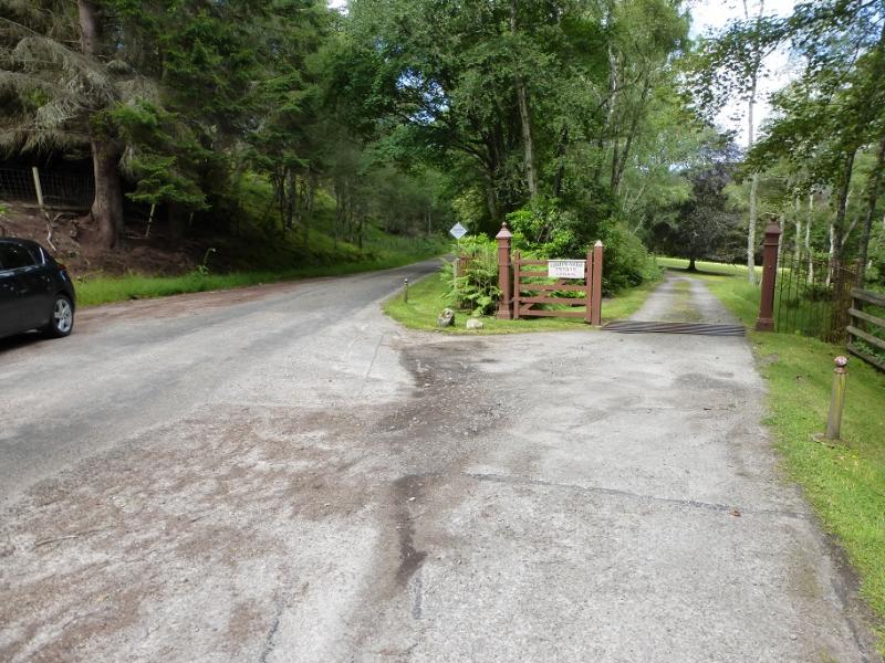
Access to Strathcarron is from Ardgay which is a village on the S side side of the Dornoch Firth opposite Bonar Bridge. This used to be the main road up the east coast until the causeway across the outer Dornoch Firth was built to avoid the long detour inland saving about 25 miles. Turn off in Ardgay for Croik but do not take the right turn for Croik further on as that will put you on the wrong side of the river! Continue on the narrow road up Strathcarron. Go past the entrance to Gruinards Farm then continue for some distance until the entrance for Gruinards Estate is reached. Park here as sensibly as possible.
Distance/Time
12 km walk. About 6 - 7 hours.
Peaks
Carn Salachaidh, 647 m, NH 518 874. OS map 20, Beinn Dearg.
OS 21 might also be needed for the road from Ardgay to close to the start.
Introduction
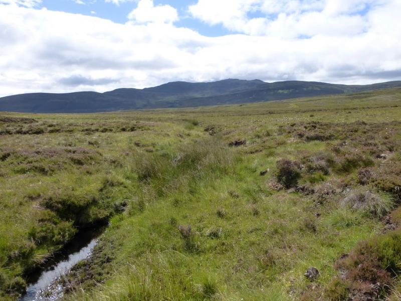
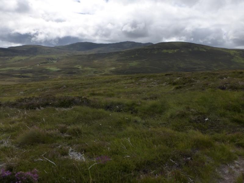
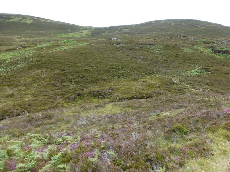
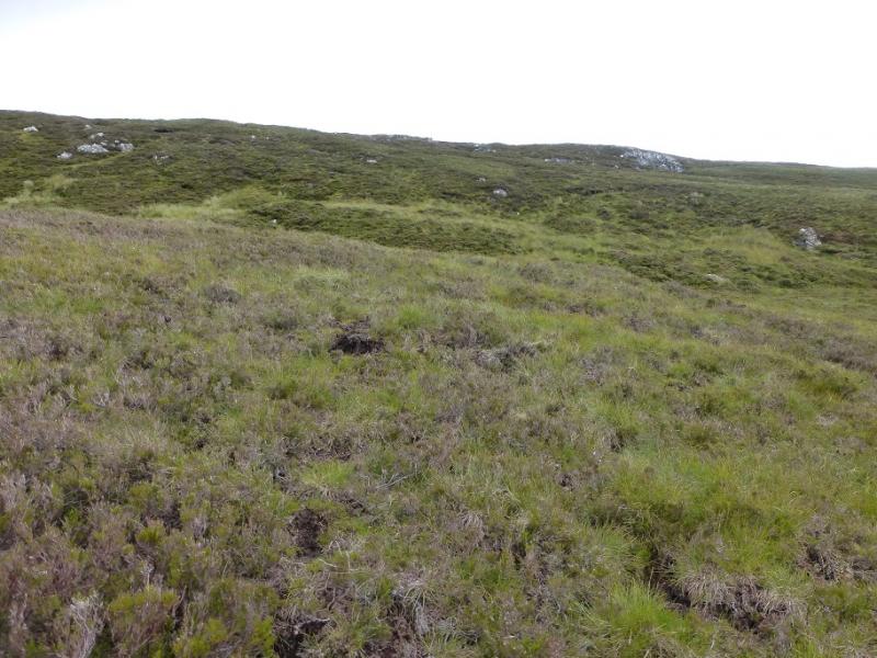
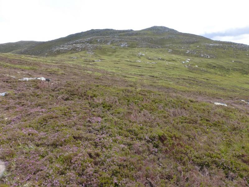
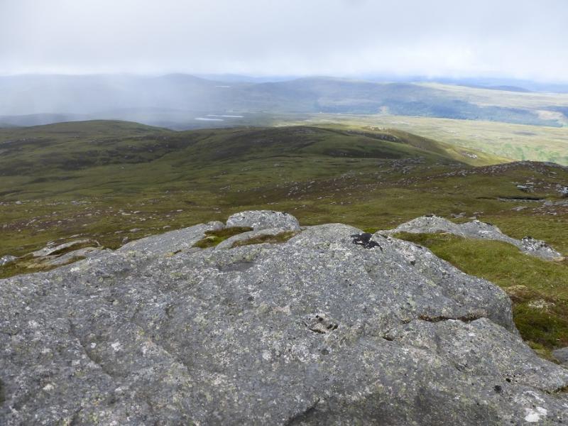
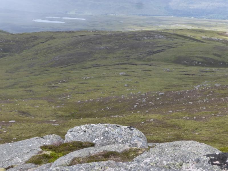
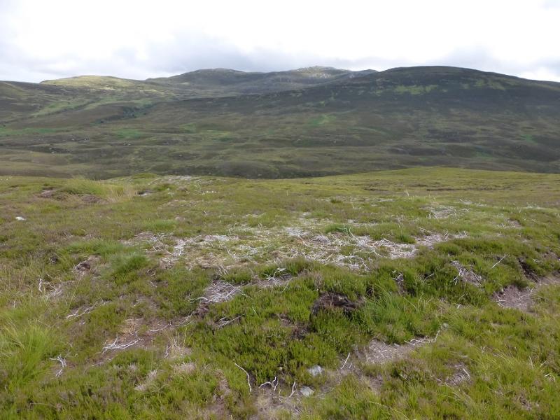
This is a remote hill in wild uninhabited country. There is a reasonable track as far as the Allt a' Ghlinne. After that the going is very tough indeed with deep heather, deep ferns in summer and wet ground. There are little or no paths. Unless you need to ascend this hill it is probably bets avoided! Once up high, there are good views on a clear day but the most prominent is to Carn Chuinneag, about 5 km to the south east. This route is best attempted when there are no ferns. It would be a major undertaking in mist.
Route
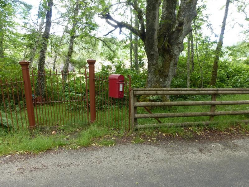
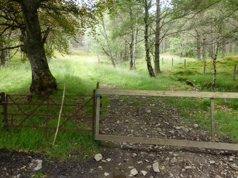
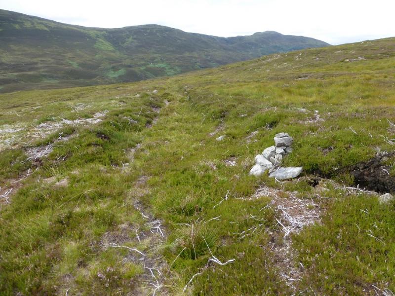
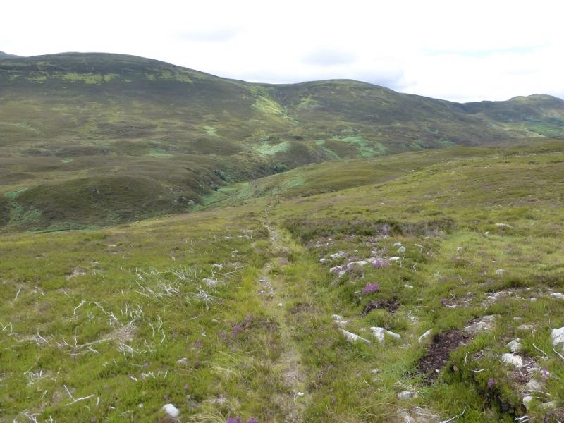
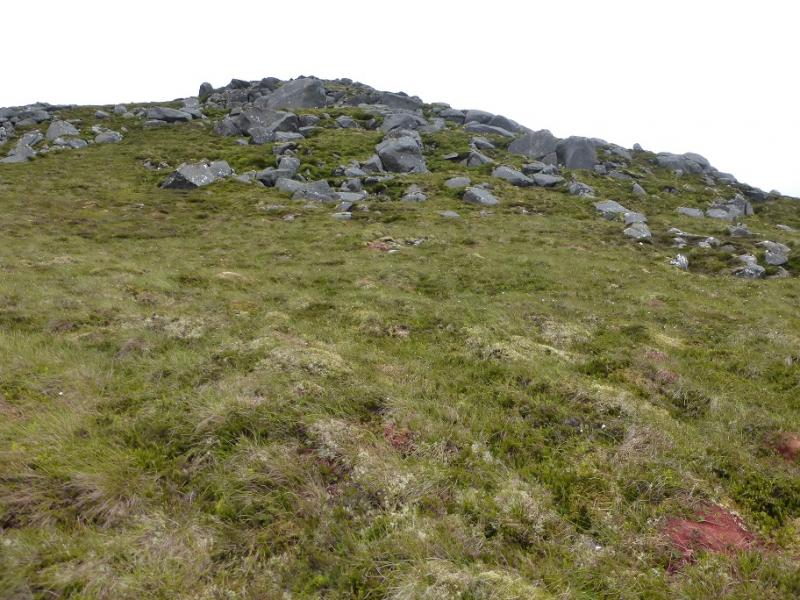
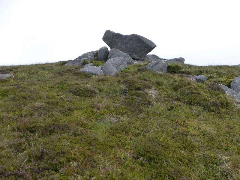
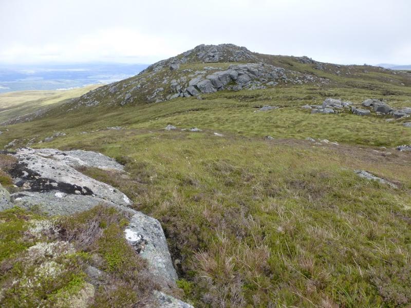
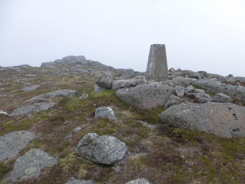
(1) Continue along the road to the next passing palce opposite an old post box on a fence. Opposite this is an old “gate” which is the start of the track. This leads through the wood and on to the open hillside. It is ot that obvious just after the wood but soon is. It has a few boggy sections. After nearly 3 km, there is a small cairn with a rougher track going off left. Ignore this and continue, descending to the Allt a' Ghlinne (river). This will normally easy to cross unless there has been heavy rain. Once across, a path slants up left but soon peters out so start picking a way up. There are quite a few “paths” which are animal tracks but the ferns hide them. Try and stay out of the heather as much of it is deep. Ascend S, shadowing the stream from near the river crossing. Much weaving around will be needed to avoid the worst ground. Aim for the shallow col above the source of the stream then walk SE to reach the S ridge of Carn Salachaidh. Follow this up to the W Top which is marked by a large boulder then walk E to reach the trig point. The highest point is about 50 m further to the NE and is an obvious outcrop. There is no cairn but this is the summit of Carn Salachaidh, 647 m.
(2) Retrace down the S ridge but keep to the right hand side. A path may be seen below and to the right of a lower top. Follow this carefully as the heather off it is very deep. From here, there are hints of a path through the heather but not always. Carefully pick a way down to the river to the E of where it was crossed earlier. Cross over and pick a way up the slopes, drifting left to rejoin the outward track.
Notes
(a) This walk took place on 29th July, 2016, and about 15 years earlier.
Photos - Hover over photo for caption. Click on to enlarge. Click on again to reduce.