Get Lost Mountaineering
You are here: Scotland » 11 Kintail and Glen Affric to Loch Ness » Glen Affric to Loch Duich
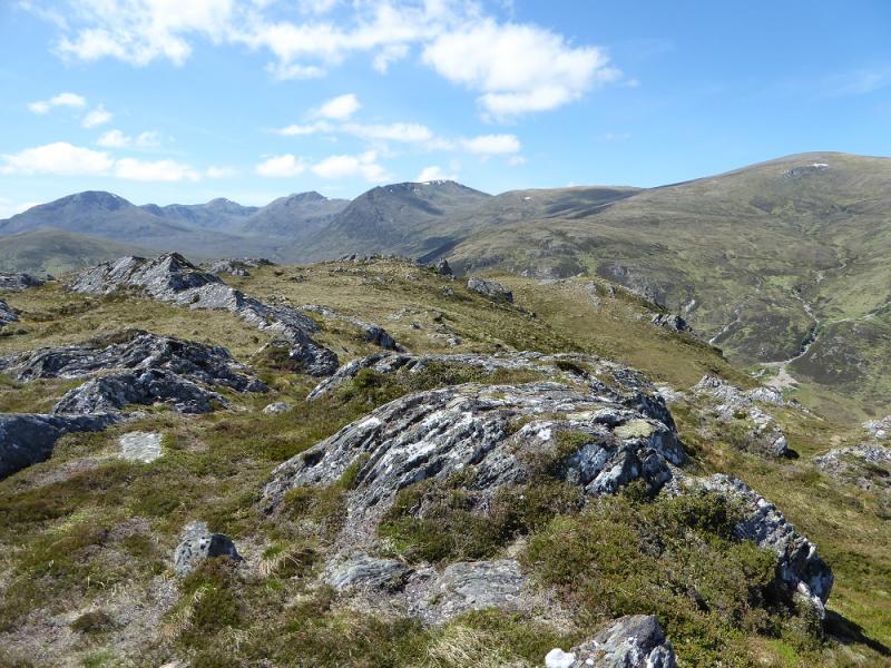
Mam Sodhail & Tops from furthest car park up Glen Affric
Mam Sodhail & Tops from furthest car park up Glen Affric
Start/Finish
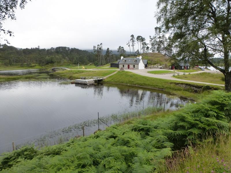
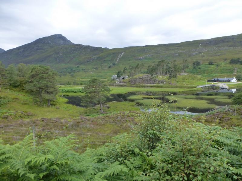
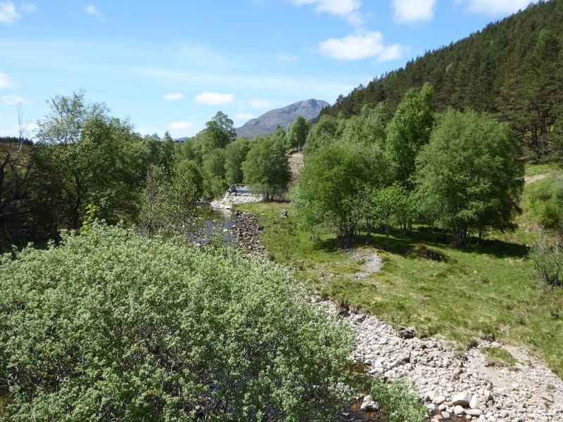
The furthest car park up Glen Affric at the end of the public road which is about 10 miles west of Cannich village up a fairly narrow road. Cannich can be reached from either Drumnadrochit or Beauly. The car park has toilets and is now pay and display; it can also be plagued by midges so be prepared to get in and out of your vehicle quickly! Put your gear on in Cannich!
Distance/Time
23 km walk. About 10 – 11 hours.
Peaks
Sgurr na Lapaich, 1036 m, NH 152 243.
Mullach Cadha Rainich, 996 m, NH 139 246.
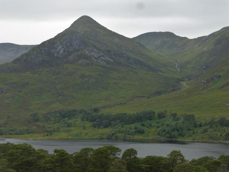
Mam Sodhail, 1181 m, NH 120 253.
An Tudair, 1074 m, NH 127 239.
Creag Coire nan Each, 1055 m, NH 113 232. OS sheet 25: Glen Carron
Introduction
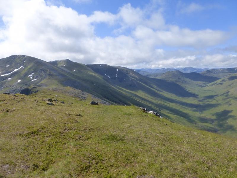
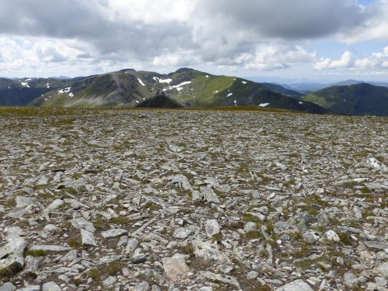
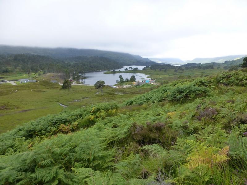
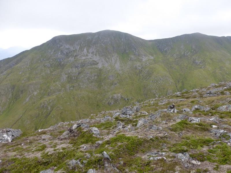
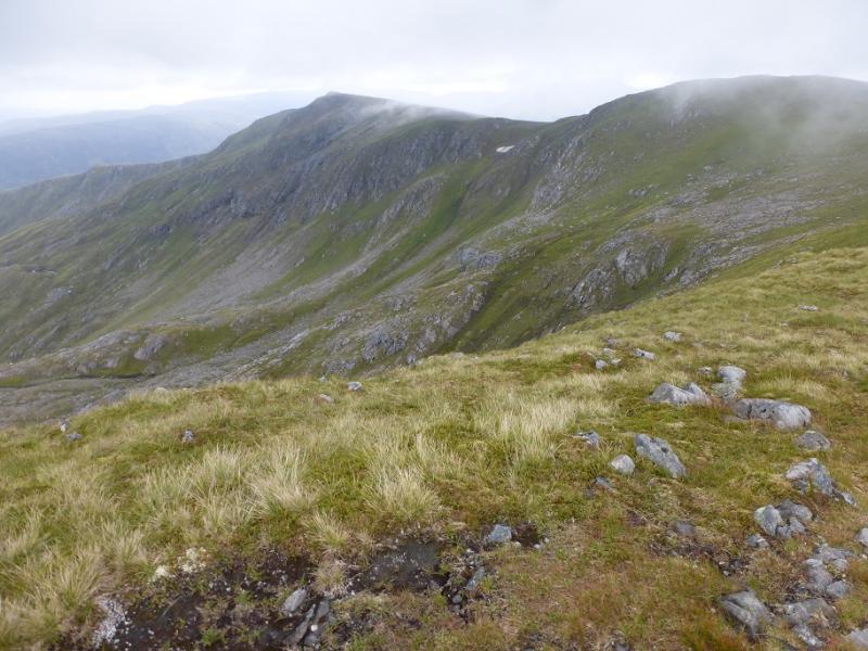
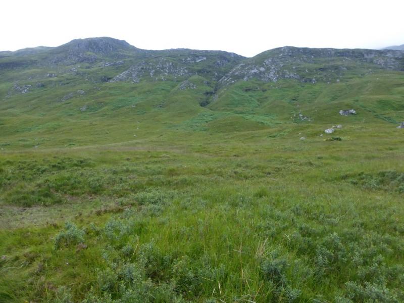
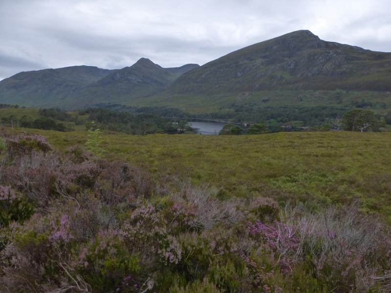
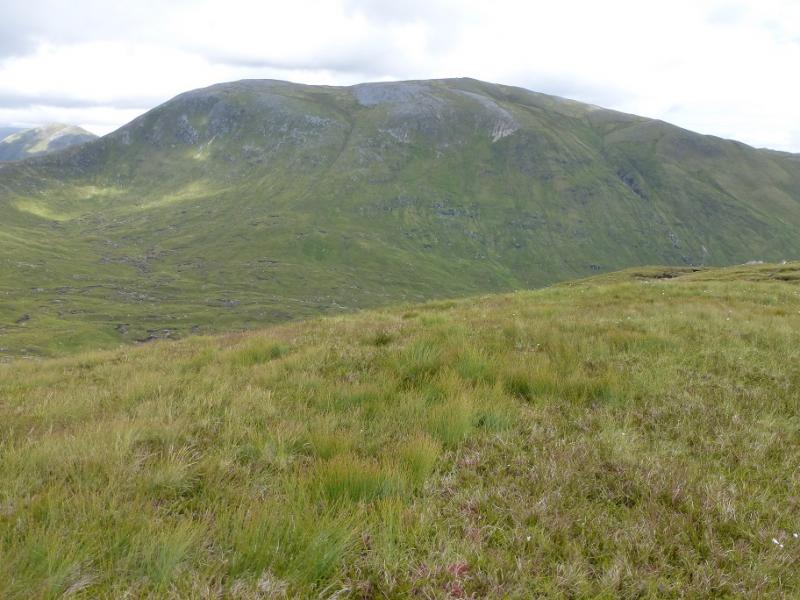
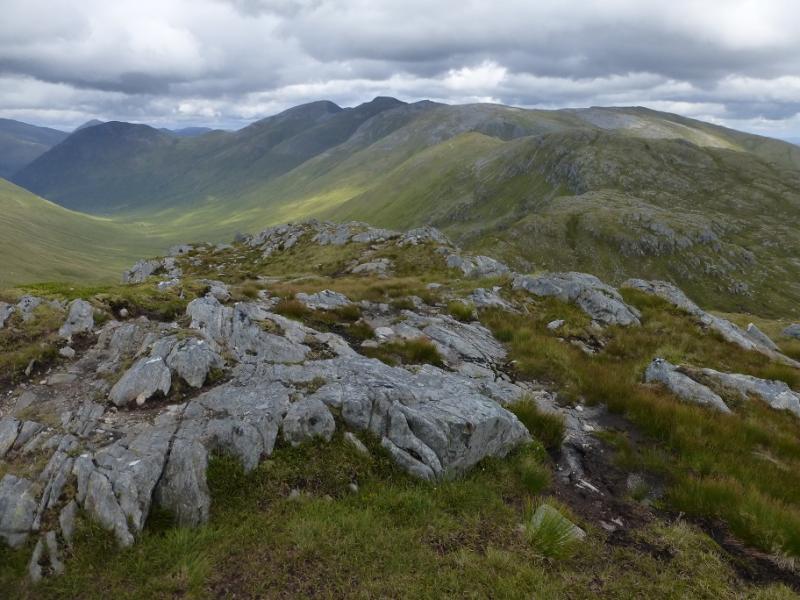
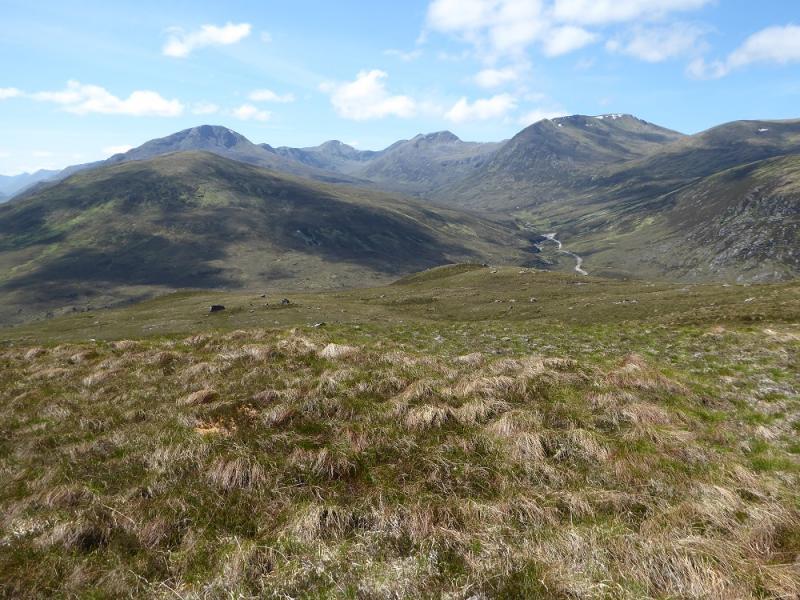
This is a tough walk with some of the ascent and descent pathless. Once fairly high, the whole route is very pleasant ridge walking but very exposed to any bad weather. On a clear day, the views are excellent to Carn Eige (effectively the twin of Mam Sodhail), Sgurr nan Ceanthreamhan, Mullach na Dheiragain, the North Mullardoch Munros, Sgurr nan Conbhairean and many more. The descent used in this route is down very steep and rough grass. In 2016, Glen Affic, once scenically beautiful was badly scarred by ugly bulldozed hydro tracks and construction sites. Some tracks and path which have survived over a hundred years have been wrecked by vehicles they were not designed for and some are now quite dangerous for walkers. This is all in the name of sustainable renewable energy. The truth is that it is about greedy landowners and equally contractors making a financial killing irrespective of the damage they do to the landscape and we, the taxpayers, are paying to line their pockets. To add insult to injury, some sort of “resort” for the supper, super rich is being built around Affric Lodge with the main path already diverted around the construction site and it's not a proper path either, just around their perimeter and not particularly pleasant. The governments, both Scottish and UK, need to get a grip on what is going on in the Highlands before they are ruined forever by the rich and greedy.
Route
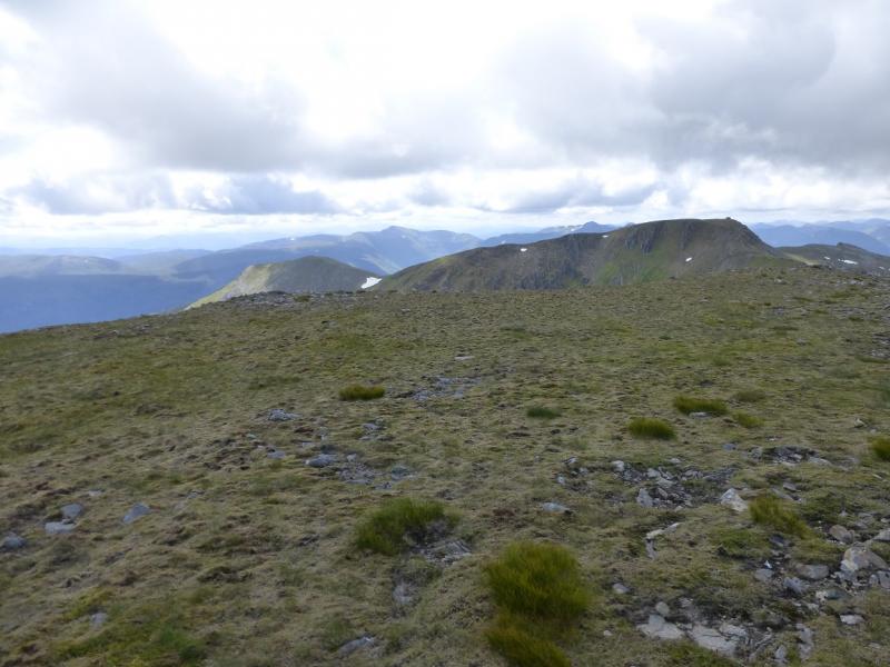
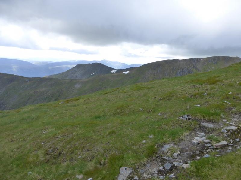
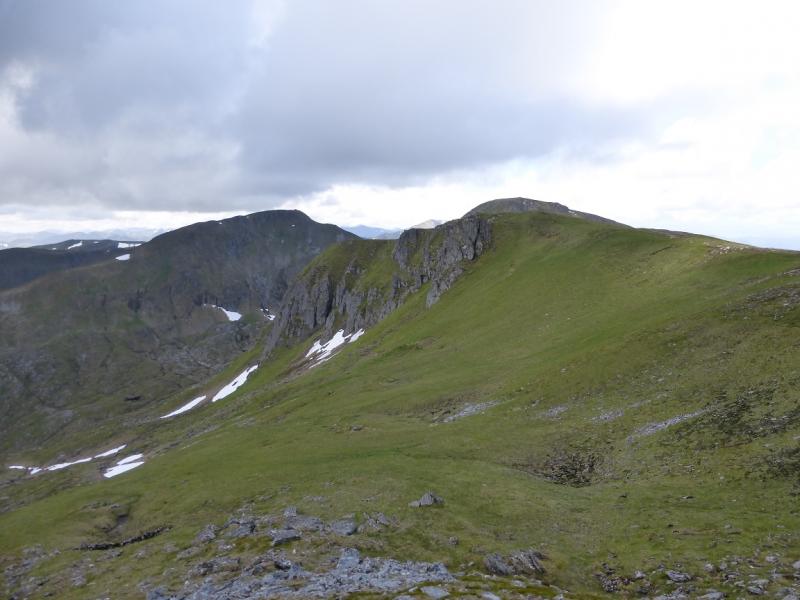
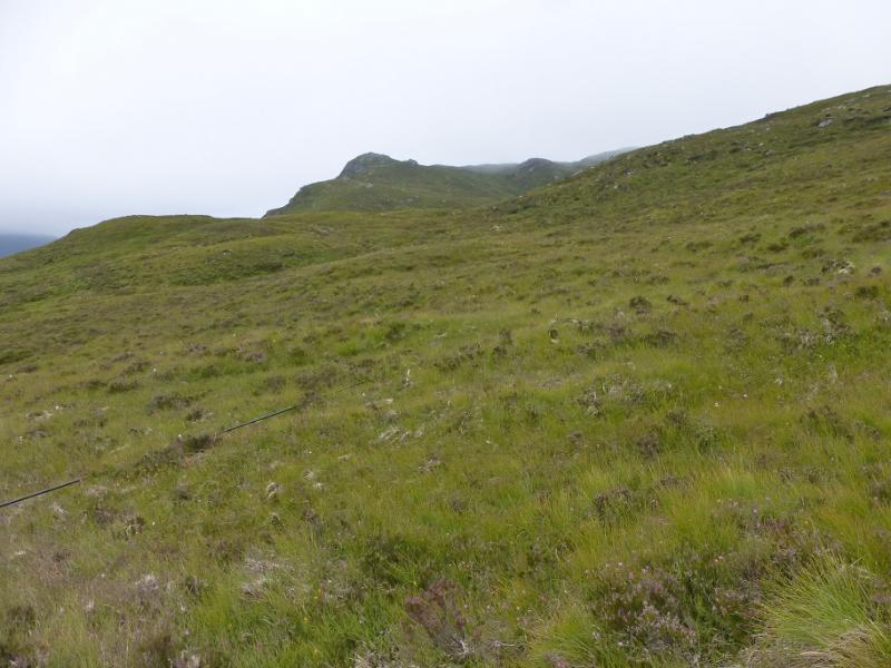
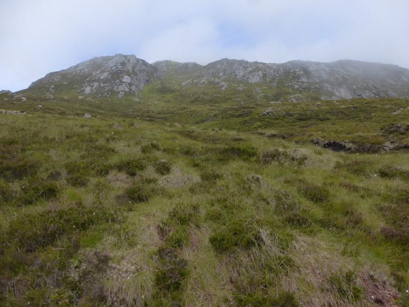
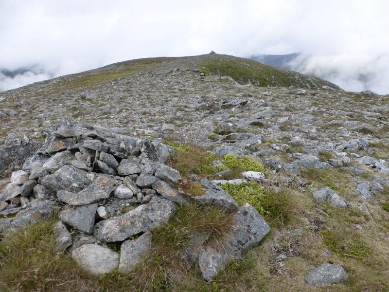
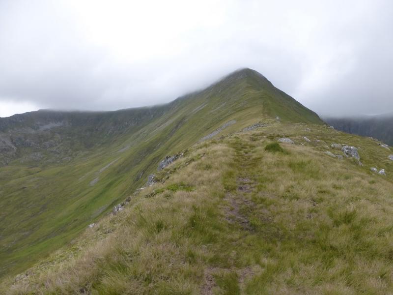
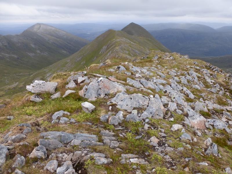
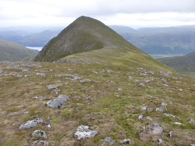
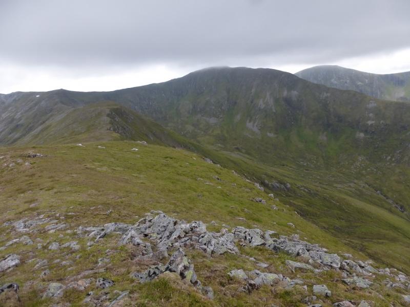
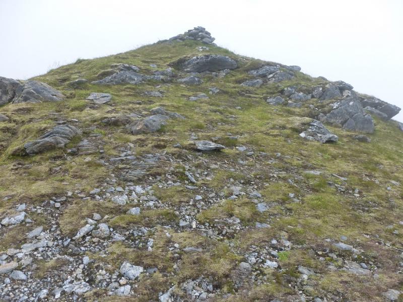
(1) Walk out of the car park back to the end of the road then follow the track which is its continuation. Continue until reaching a very rough uphill track on the right just before the Loch Affric (white) house by the jetty. Follow this now wrecked track uphill. It is unpleasant, not that those responsible care, until it turns W for a long traverse. At the end of this, it turns sharply right. Leave the track here and walk W across a collection of ill defined ridges before gaining the more defined SE ridge of Sgurr na Lapaich after about 1.5 km of rough walking. Once on the ridge proper, a path appears which picks its way up to the flat summit area where there is a small cairn then a large cairn which marks the summit of Sgurr na Lapaich, 1036 m.
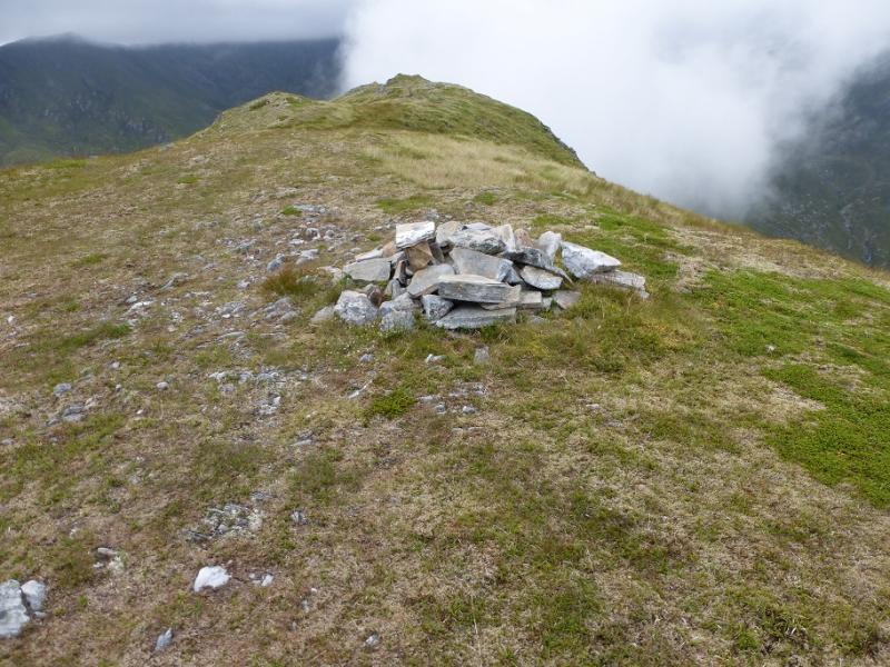
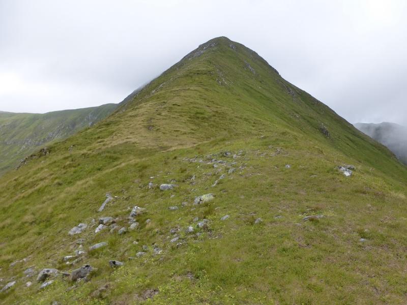
(2) Continue along the crest which appears to split. The left side is stony and higher with the right side being lower and grassy. Both sides meet up again further on near an obvious col. Continue up, on the path, to reach another flat top where a small cairn marks the summit of Mullach Cadha Rainich, 996 m.
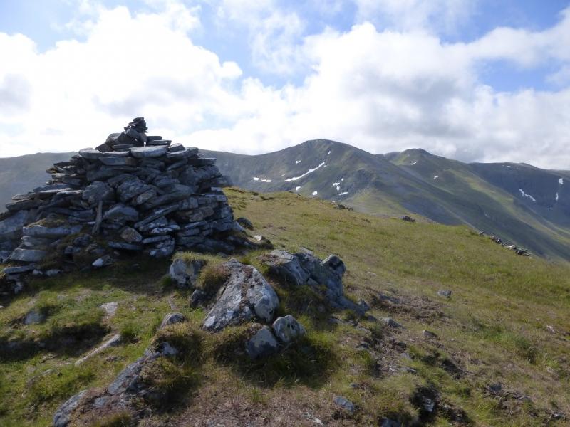
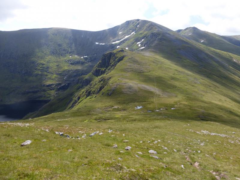
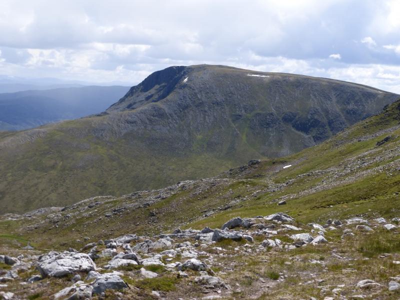
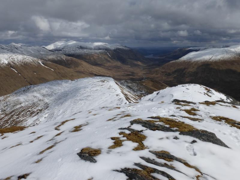
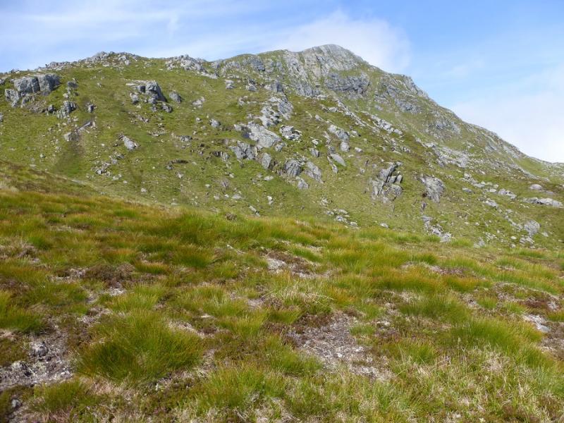
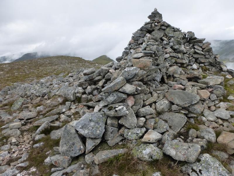
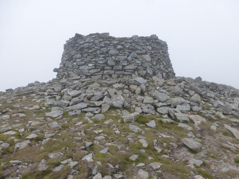
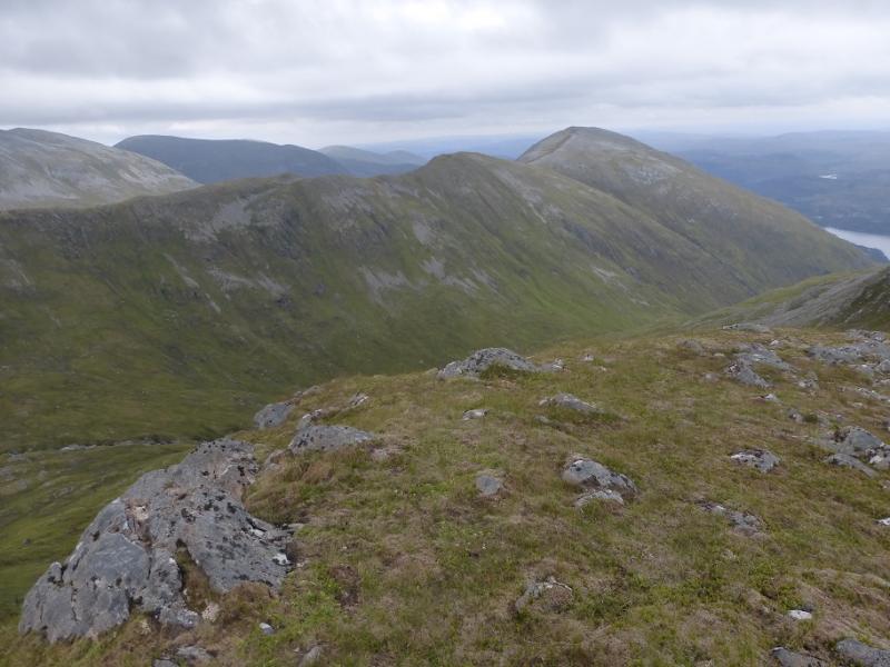
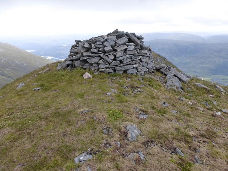
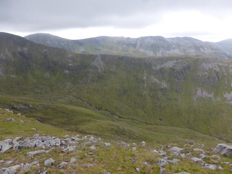
(3) Continue along the crest over a minor top then up the E ridge of Mam Sodhail which steepens higher up. When the angle eases, walk across almost flat ground to reach a huge circular cairn which is the summit of Mam Sodhail, 1181 m.
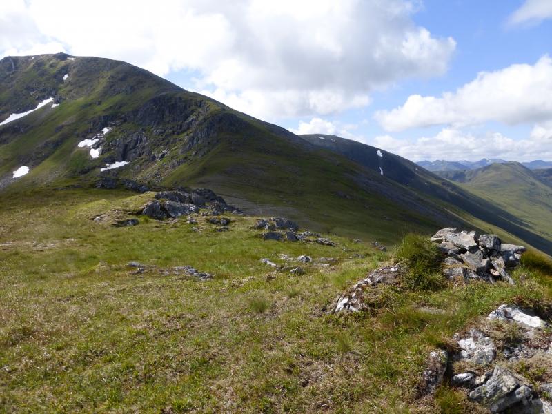
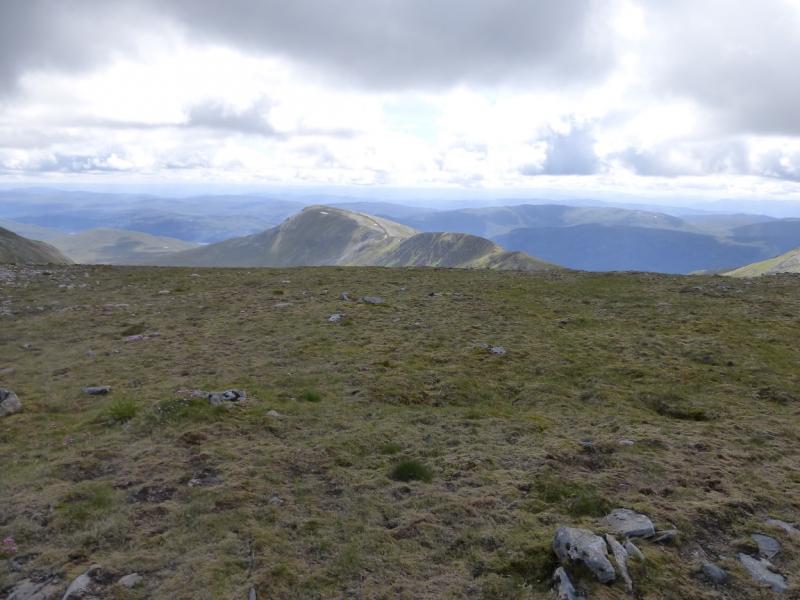
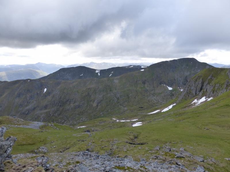
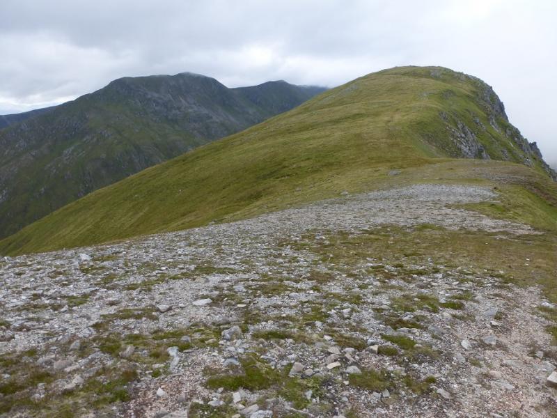
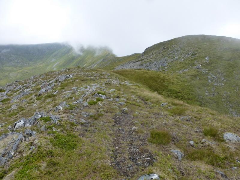
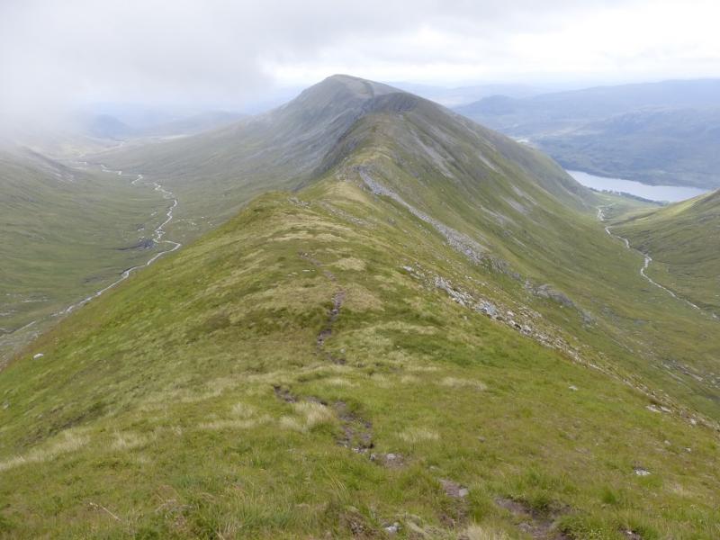
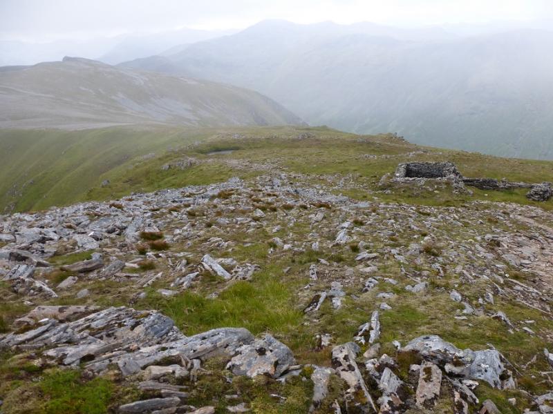
(4) Walk S, across stony ground to pick up the path along the crest and follow it for about 700 m before turning SE along the side ridge to An Tudair where there is a faint path which descends to a dip before crossing a minor top then ascending to the large cairn which is the summit of An Tudair, 1074 m.
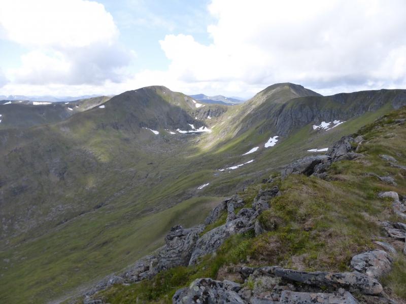
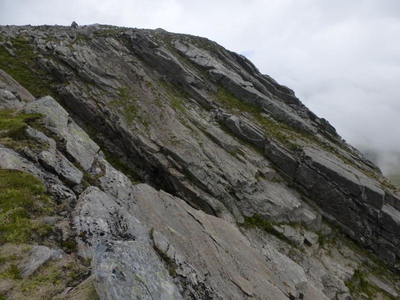
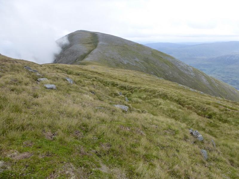
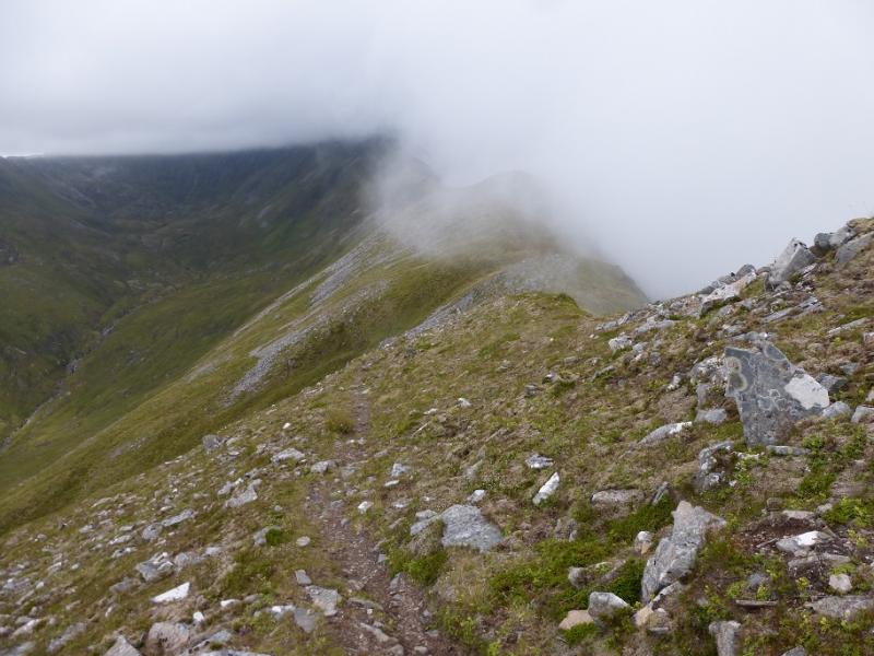
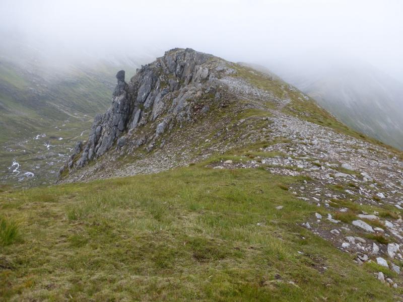
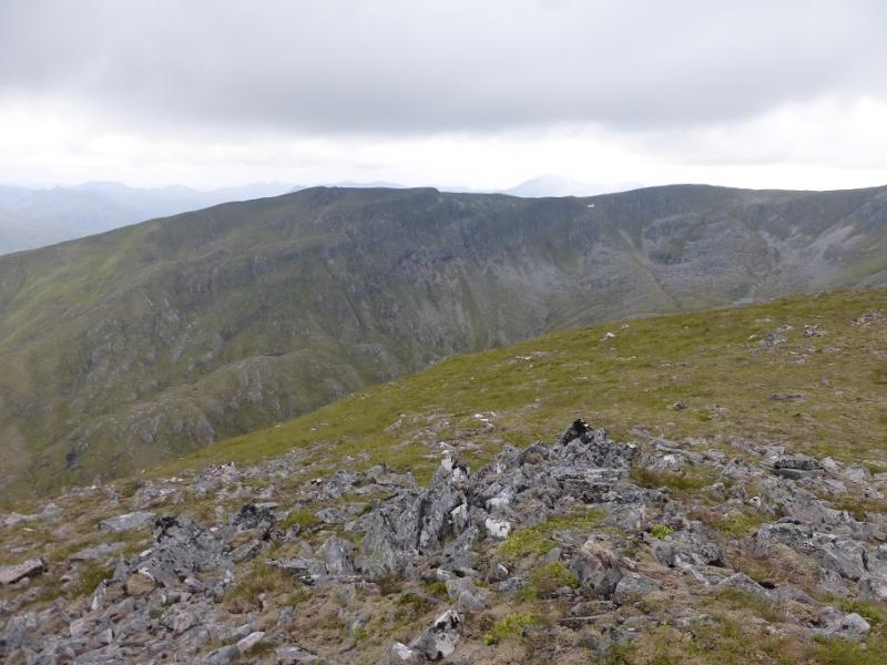
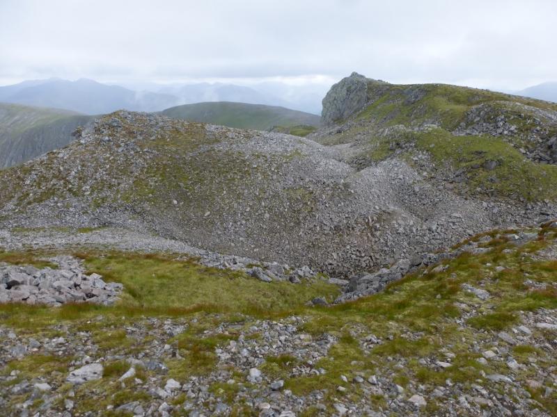
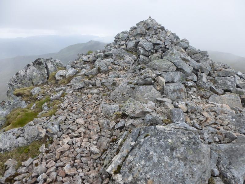
(5) Retrace to the main ridge then follow it SW, passing a cairn which seems to have no purpose at all, before reaching the start of the ridge which runs SE to Creag Coire nan Each. Note that there appears to be some “subsidence” on the S side of the main ridge on this section. Follow the side ridge to a dip then a gentle rise to reach the small cairn which is the summit of Creag Coire nan Each, 1055 m.
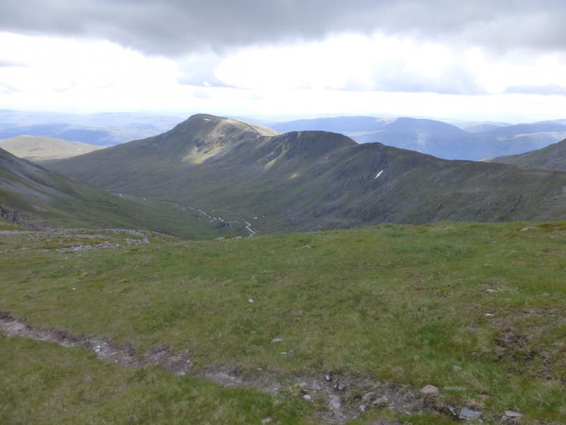
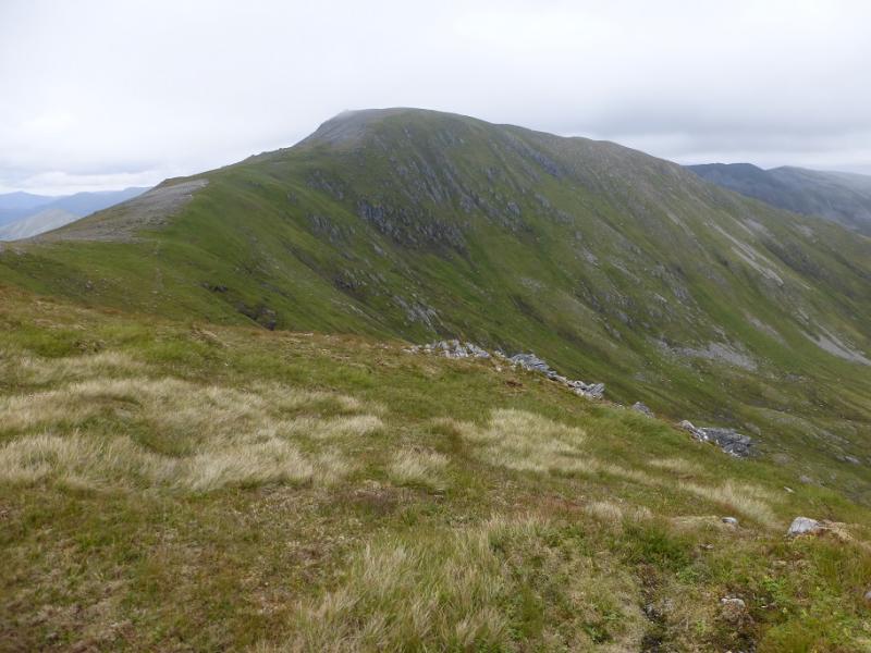
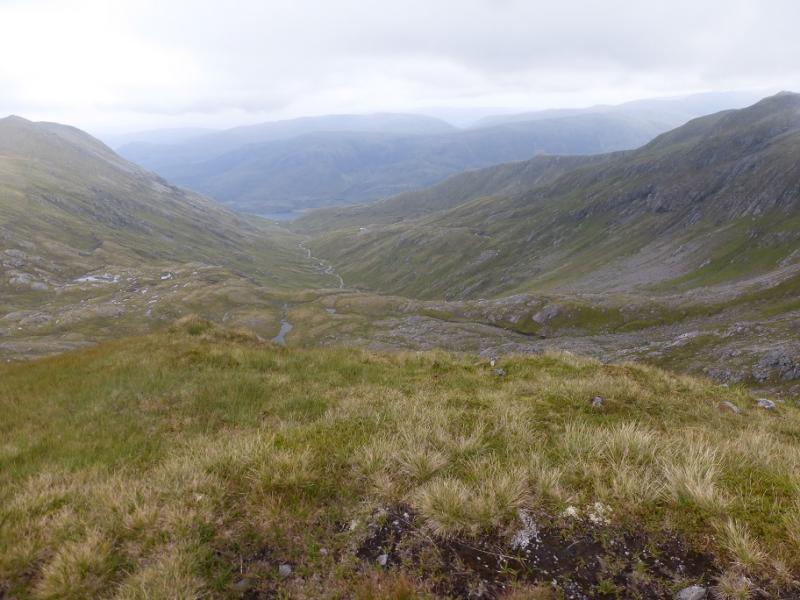
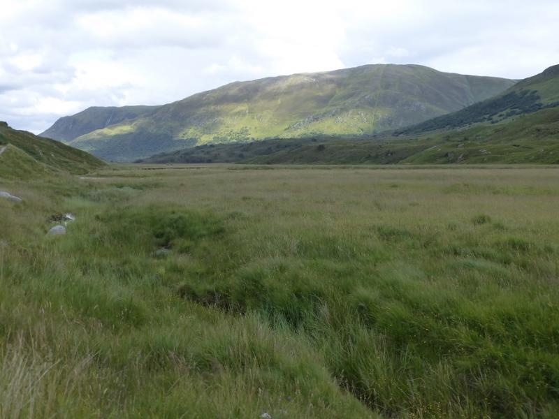
(6) Descend down the SSE ridge from the summit. The first third is very gentle and easy then as it turns E, the second third becomes steeper. When this becomes even steeper start to pick a way off the ridge to the right. In clear weather, the main path in the glen will be seen a long way below, about 300 m below. The descent is steep grass, wet in places, with small crags so some weaving around is a good idea. Eventually, reach the path in the glen and follow it back to the car park. The path/track is boggy in places, has been badly “top dressed” and climbs more than one might expect; it also passes through the afore mentioned construction site.
Notes
(a) This walk took place on 2nd August, 2016. All the hills were previuosly climbed twice before but included in different routes.
(b) Alternative descents from Creag Coire nan Each are to stay on the descent ridge and aim for the stalker's path across the waterfalls which is below An Tudair Beag which could be followed back to the main path in the glen. This stalker's path may be difficult to locate. For those who are unhappy with steep descents, retrace back to the main ridge, as if returning to Mam Sodhail but take the stalker's path just after the An Tudair reidge and follow this down to the main track in Glen Affric
(c) If you don't mind the driving, Dingwall Camping and Caravanning Club site is well placed for access to Glen Arric, Loch Mullardoch, Glen Strathfarrar, Strathconon, Ben Wyvis, Achnasheen, Kinlochewe. Fannaichs, Loch Glascarnoch, Beinn Dearg range and lower hills on the coast. The site is virtually midge free. It pays to be a member otherwise there are surcharges. There is an over 50's discount outside of the High Season. Electrical hook ups are possible for campers. Dingwall has a 24 hour Tesco as well as a Lidl. The nearest camp site to this walk is just to the east of Cannich on the road to Drumnadrochit. It is a very well equipped site but midges may be more of a problem in the summer than at Dingwall. Cannich is a small village with a pub and shop.
Photos - Hover over photo for caption. Click on to enlarge. Click on again to reduce.