Get Lost Mountaineering
You are here: Scotland » 12 Glen Cannich to Glen Carron » Glen Strathfarrar to Loch Monar
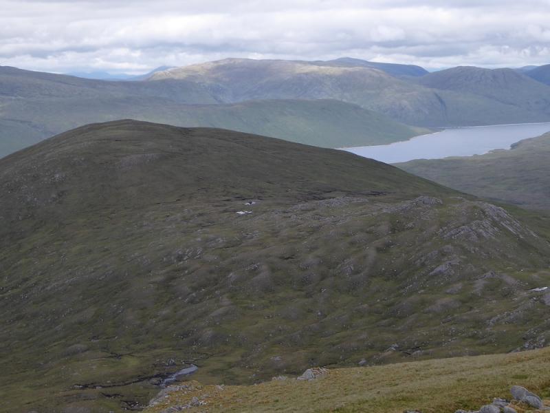
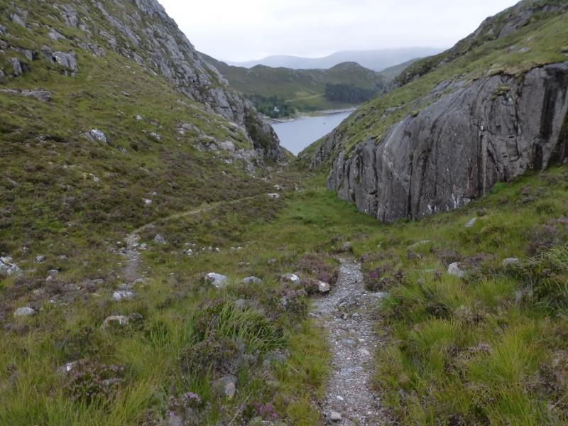
An Sidhean from Glen Strathfarrar
An Sidhean from Glen Strathfarrar
Start/Finish
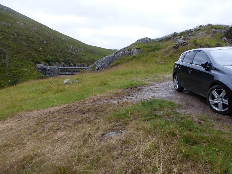
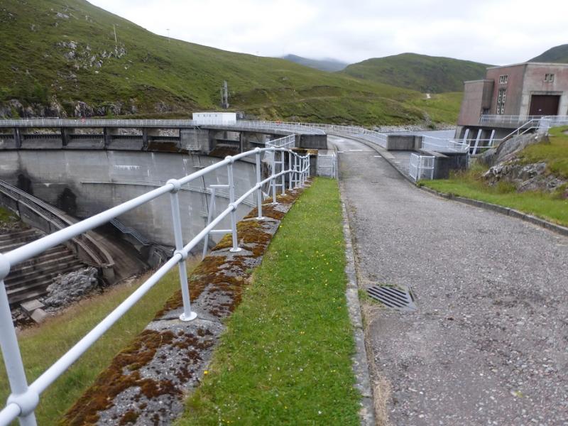
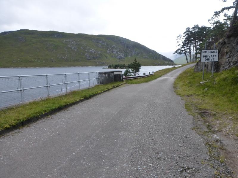
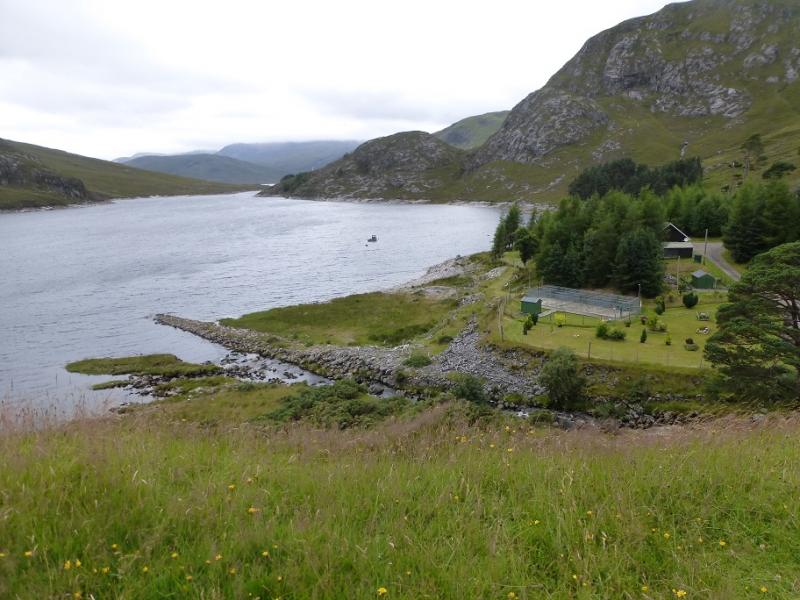
Rough parking areas just before the Monar Dam which is at the end of the private tarmac road up Glen Strathfarrar which leaves the Strathglass road, between Cannich and Beauly, at Struy. The entrance to Glen Strathfarrar, where there is a locked gate at Inchmore, is only opened for cars between certain hours on certain days so this access needs checking beforehand. On 4/3/16, the glen was closed all day on Tuesdays and all morning on Wednesday so these are not good days to visit Glen Strathfarrar. The gate is kept closed when no cars are passing through and there is a limit on the number of cars allowed up the glen. There is a small car park before the gate for those wishing to cycle or walk up the glen. There seems to be no restriction on access on foot or by cycle although this should be checked beforehand. Being allowed to take a car up the glen saves about 26 miles of walking or cycling. Note that there is a closing time for the gate in the evening so be sure of getting back in time.
Distance/Time
17 km. About 6 hours.
Peaks
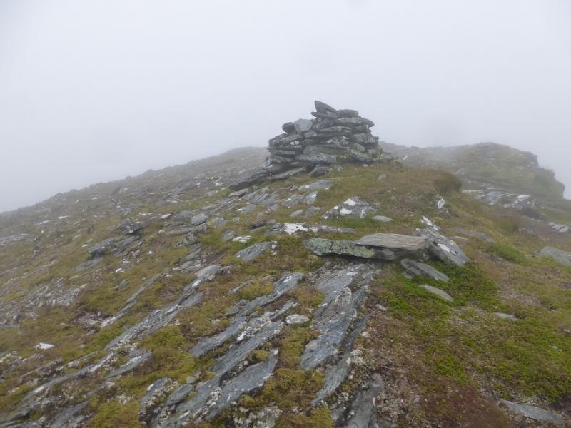
An Sidhean, 814 m, NH 170 453. OS sheet 25.
Introduction
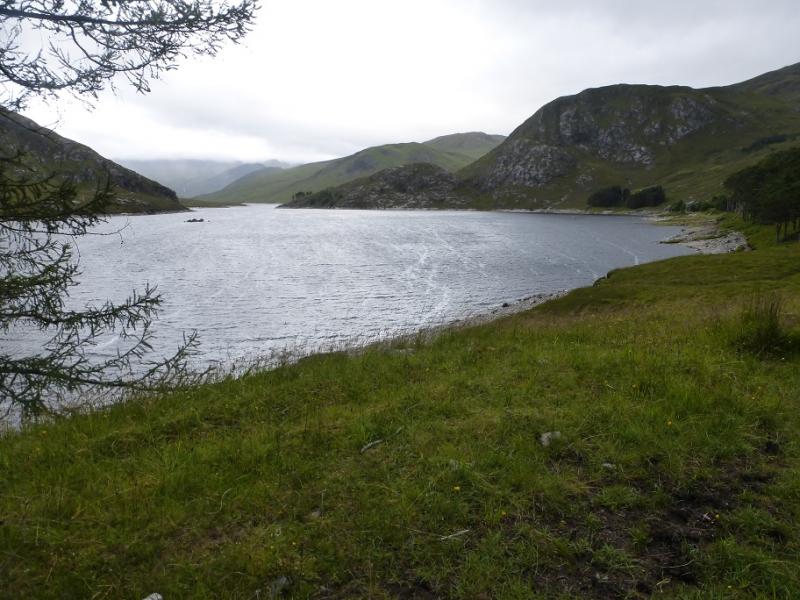
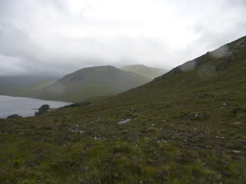
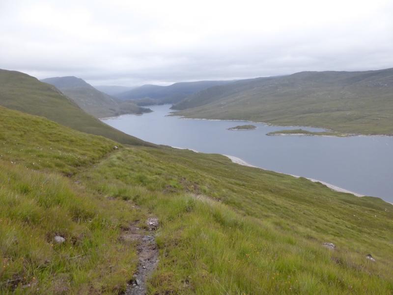
On a clear day, this is a lovely walk along Loch Monar then up a straightforward ridge to an obvious summit. In mist the ridge will need care with navigation but is still not too taxing. There are excellent views in all directions and include ethe Lurg Mhor range, Maoile Lunndaidh, north Mullardoch Munros and many more.
Route
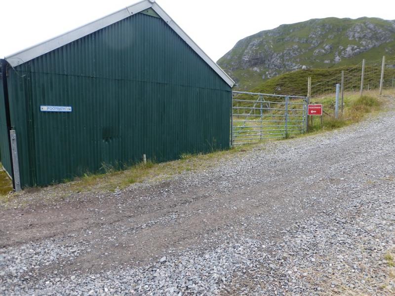
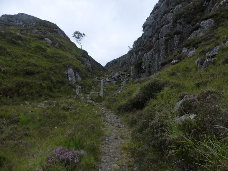
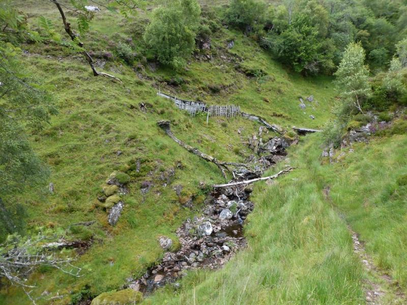
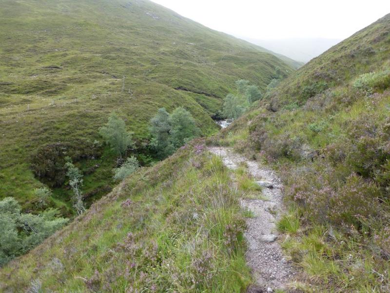
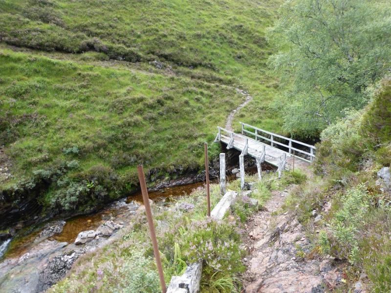
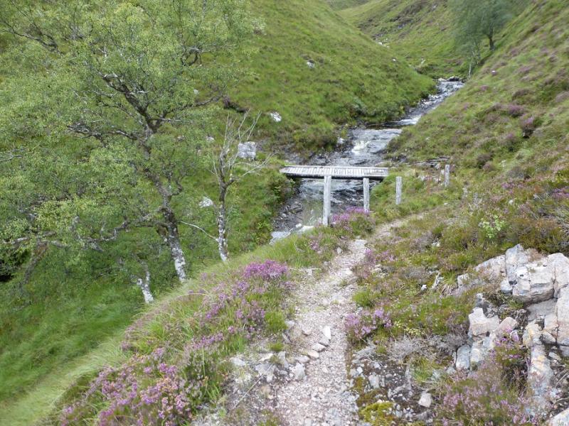
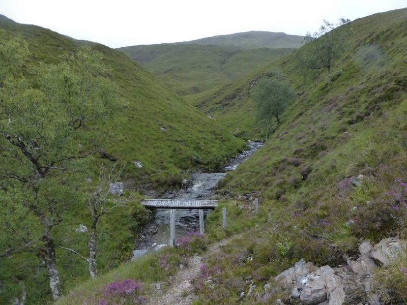
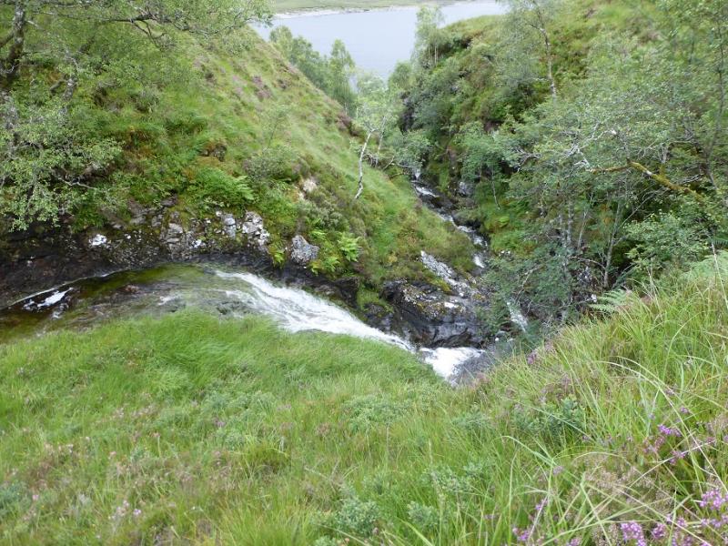
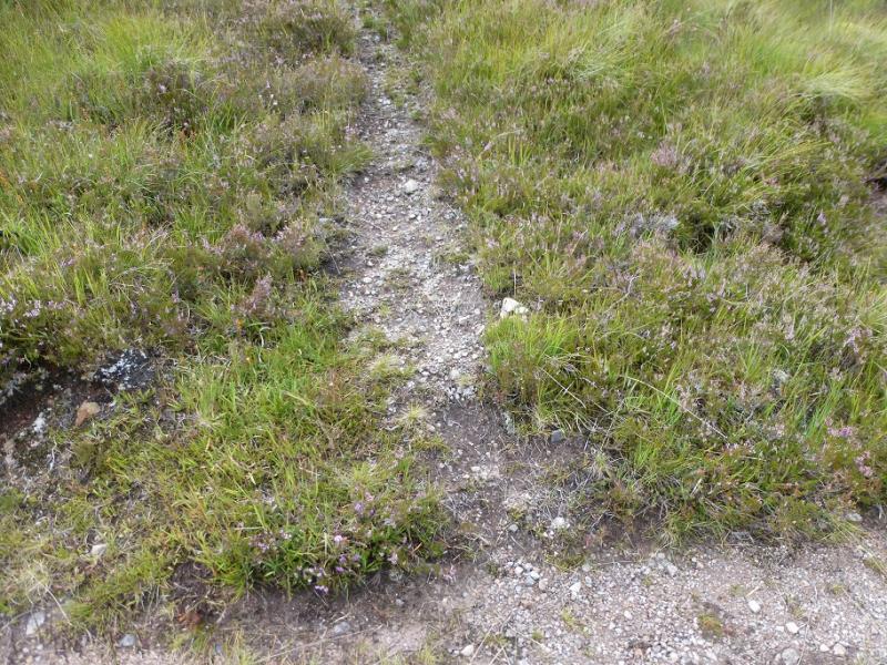
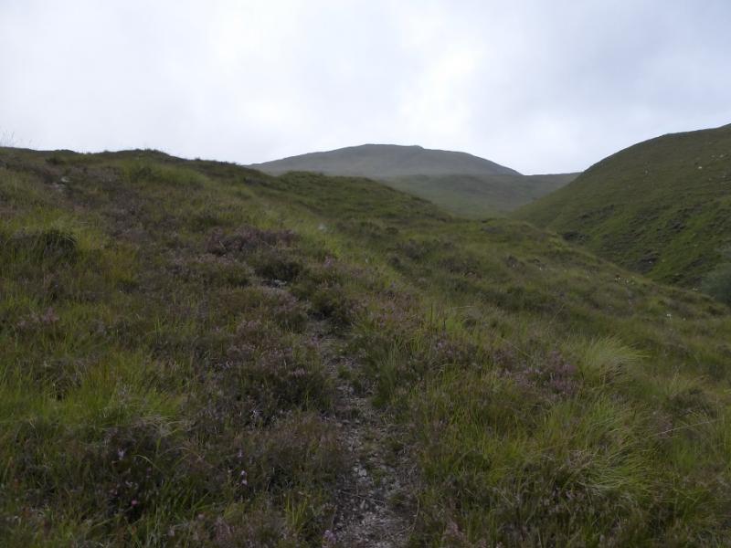
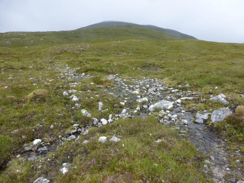
(1) Continue along the track from the Monar Dam to reach the buildings at Monar Lodge. Follow the footpath signs which put on eon to an old track before an obvious stalker's path soon forks off left. Follow this up a dry ravine then over three flat bridges across deep cut streams. Soon after the third bridge, the path for An Sidhean goes off right. Follow this on a rising traverse to reach the edge of a deep cut gully then up the side of the gully which is crossed, very easily, at its top. From here, leave the path and head N up an obvious steepish slope before reaching a less steep section about 2 km short of the summit. This less steep section can be confusing in mist as the ridge is not so well defined but, eventually, a large cairn is reached which is the summit of An Sidhean, 814 m.
(2) Retrace the outward route.
Notes
(a) This walk took place on 4th August, 2016, and about 15 years previously.
Photos - Hover over photo for caption. Click on to enlarge. Click on again to reduce.