Get Lost Mountaineering
You are here: Scotland » 11 Kintail and Glen Affric to Loch Ness » Glen Affric to Loch Duich
An Socach & Stob Coire na Cloiche from furthest car park up Glen Affric
An Socach & Stob Coire na Cloiche from furthest car park up Glen Affric
Start/Finish
The furthest car park up Glen Affric at the end of the public road which is about 10 miles west of Cannich village up a fairly narrow road. Cannich can be reached from either Drumnadrochit or Beauly. The car park has toilets and is now pay and display; it can also be plagued by midges so be prepared to get in and out of your vehicle quickly! Put your gear on in Cannich!
Distance/Time
20 km bike + 12 km walk. About 9 – 10 hours.
Peaks
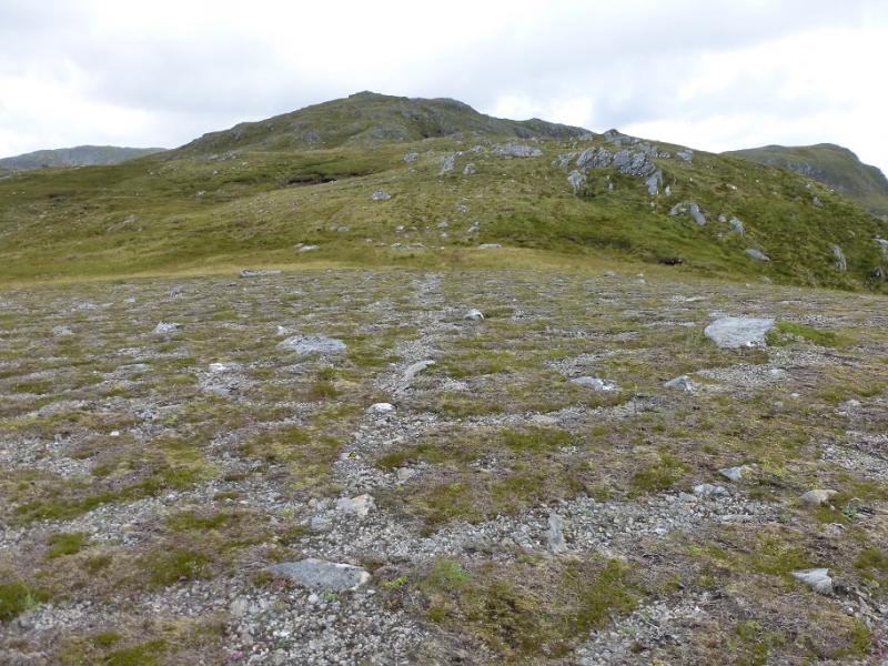
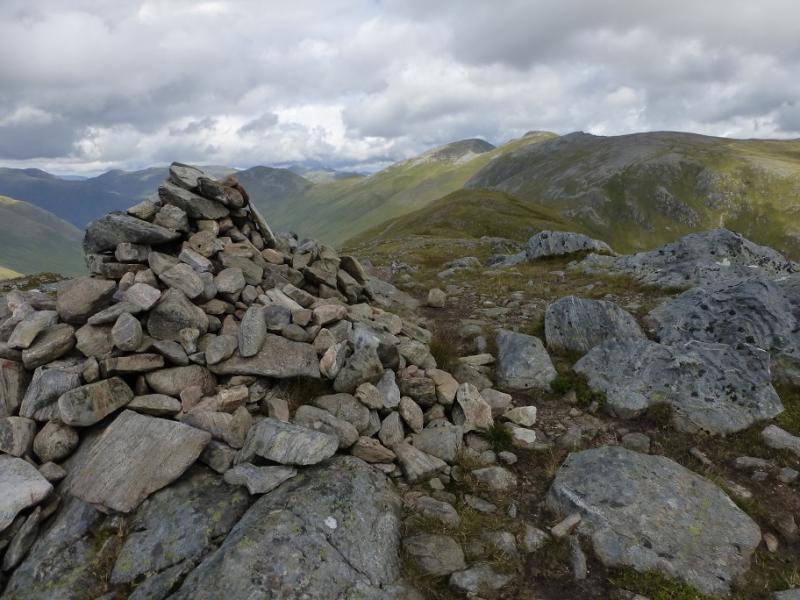
An Socach, 921 m, NH 088 230.
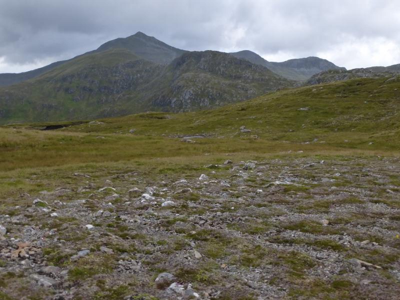
Stob Coire na Cloiche, 915 m, NH 075 227. OS sheet 25: Glen Carron
Introduction
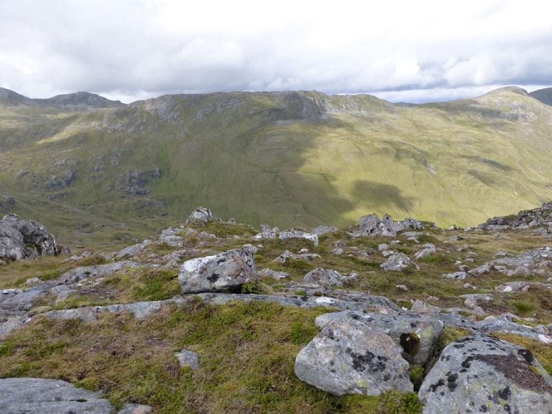
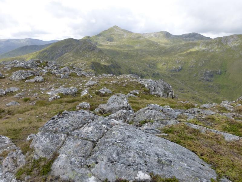
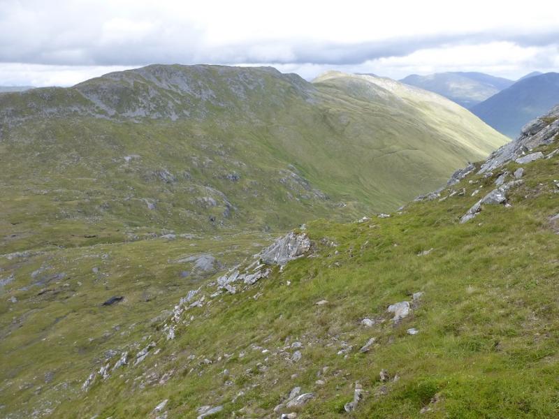
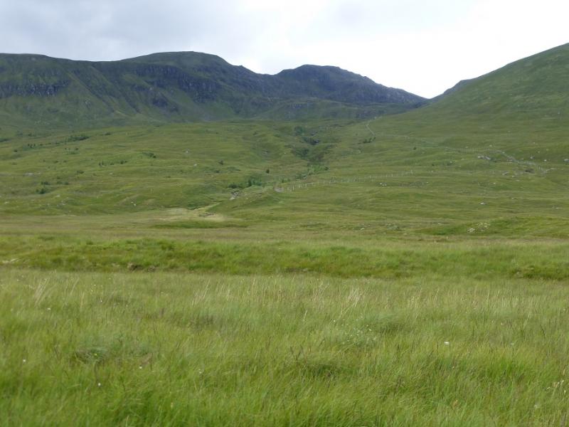
This is a tough walk with some of the ascent pathless. Once fairly high, the whole route is very pleasant ridge walking but very exposed to any bad weather. Stob Coire na Cloiche is a top of Sgurr nan Ceanthreamhnan which is more sensibly included with this route rathe rthan the route from Iron Lodge. On a clear day, the views are excellent to Carn Eige and Mam Sodhail) Sgurr nan Ceanthreamhan, Mullach na Dheiragain, the North Mullardoch Munros, Sgurr nan Conbhairean and many more. In 2016, Glen Affic, once scenically beautiful was badly scarred by ugly bulldozed hydro tracks and construction sites. Some tracks and paths which have survived over a hundred years have been wrecked by vehicles they were not designed for and some are now quite dangerous for walkers. This is all in the name of sustainable renewable energy. The truth is that it is about greedy landowners and equally contractors making a financial killing irrespective of the damage they do to the landscape and we, the taxpayers, are paying to line their pockets. To add insult to injury, the contractos expect the public to give up their rights and fit in with them by hiding behind and manipulating the Health and Safety at Work Act. They, and they alone, are responsible for the safety of the public. On the south side, there is quite a major development around the path to Cougie with walkers being diverted through deep heather and bog. This walker ignores such diversions. The governments, both Scottish and UK, need to get a grip on what is going on in the Highlands before they are ruined forever by the rich and greedy.
Route
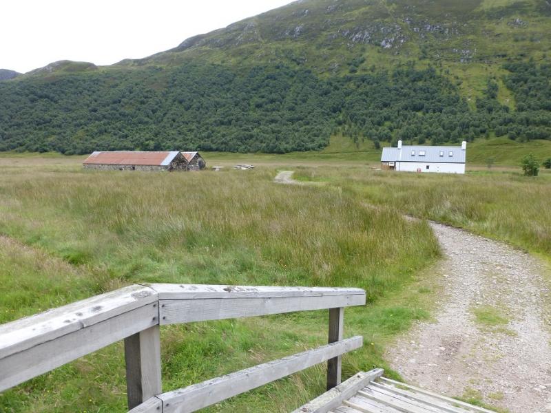
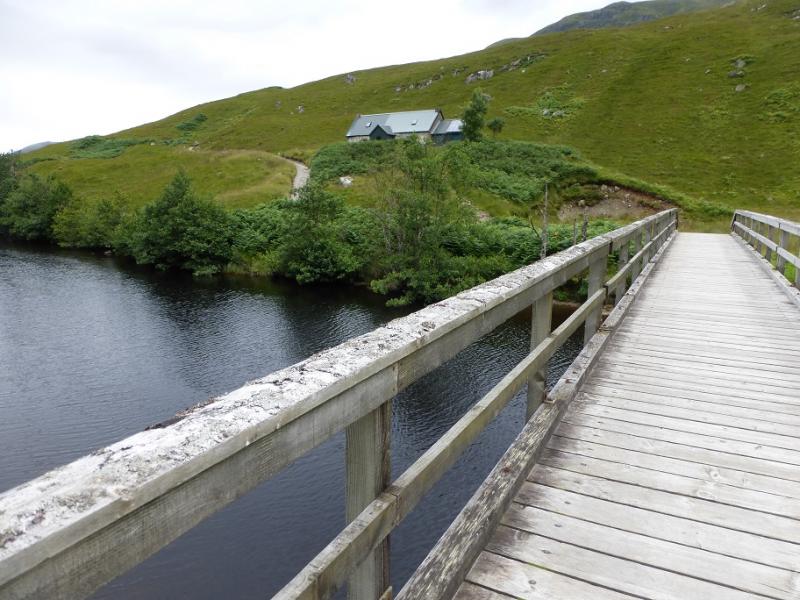
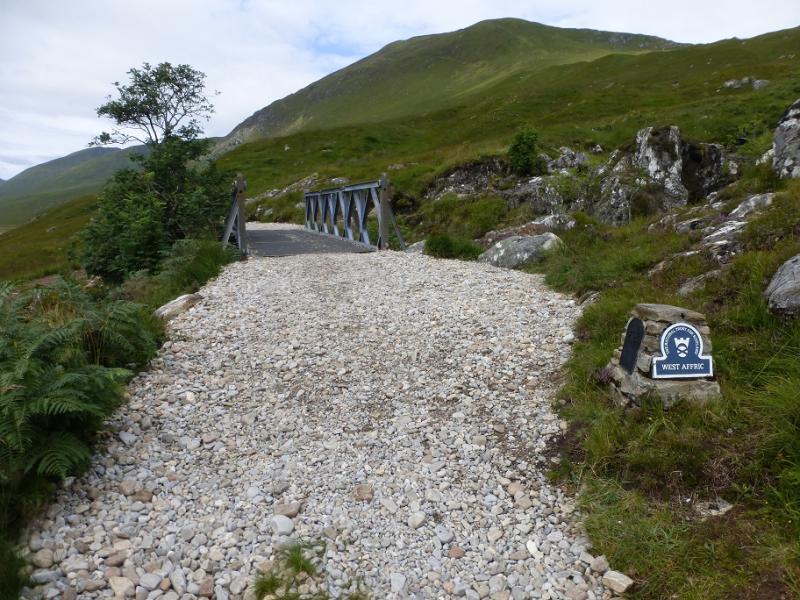
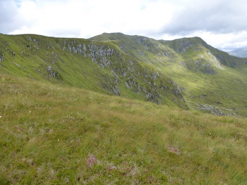
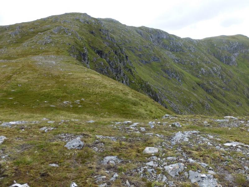
(1) Walk out of the car park back to the end of the road then follow the track between the continuation of the road and the car park. This soon crosses the river by a long bridge. Continue on this undulating track through the ugly construction site. Beyond the end of Loch Affric, the track splits, take the right fork (much of the track cannot be seen but it is there) and reach the bridge at Athnamulloch. Cross the bridge. The next and some later sections of the track are very rough and there isn't much to be gained by contnuing with the bike. However, this route assumes further cycling for about 3.5 km to a point just after a girder bridge and above an old ruin. Leave the bike here. Head uphill, heading for the obvious ridge above. There seems to be no path but the ground is not too bad. Gain the ridge and follow it W then NNW. Higher up a path appears and this can be followed up the steeper final rise to the medium cairn which is the summit of An Socach, 921 m.
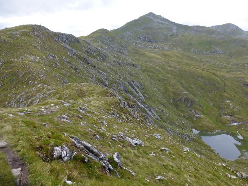
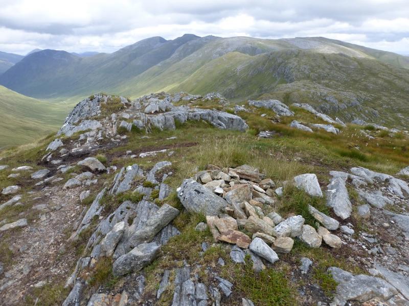
(2) Descend W to a dip then over a minor top to the col before Sgurr nan Ceanthreamhnan. Walk up the path on the E ridge to the first top whose top matches the grid reference for the summit of Stob Coire na Cloiche, 921 m. There is the remains of a cairn. There seems to be a slightly higher top a little further which the cautious may want to visit.
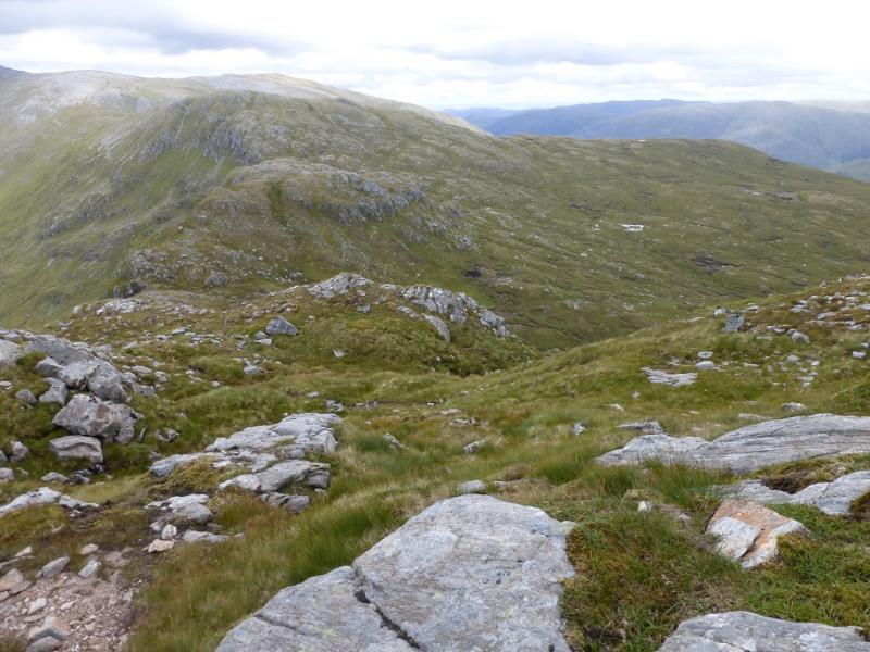
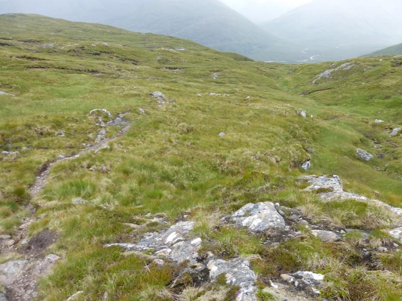
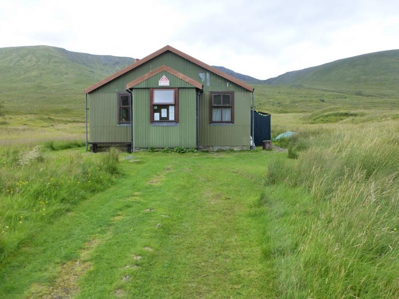
(3) Retrace to the col then head down, almost due S, to soon pick up the stalker's path. This is wet in places but easily followed and leads down to Alltbeithe, the most remote youth hostel in Scotland. Walk E along the track to retrieve the bike then retrace the outward route.
Notes
(a) This walk took place on 5th August, 2016. Both hills were previously climbed twice before but included in different routes.
(b) If you don't mind the driving, Dingwall Camping and Caravanning Club site is well placed for access to Glen Arric, Loch Mullardoch, Glen Strathfarrar, Strathconon, Ben Wyvis, Achnasheen, Kinlochewe. Fannaichs, Loch Glascarnoch, Beinn Dearg range and lower hills on the coast. The site is virtually midge free. It pays to be a member otherwise there are surcharges. There is an over 50's discount outside of the High Season. Electrical hook ups are possible for campers. Dingwall has a 24 hour Tesco as well as a Lidl. The nearest camp site to this walk is just to the east of Cannich on the road to Drumnadrochit. It is a very well equipped site but midges may be more of a problem in the summer than at Dingwall. Cannich is a small village with a pub and shop.
Photos - Hover over photo for caption. Click on to enlarge. Click on again to reduce.